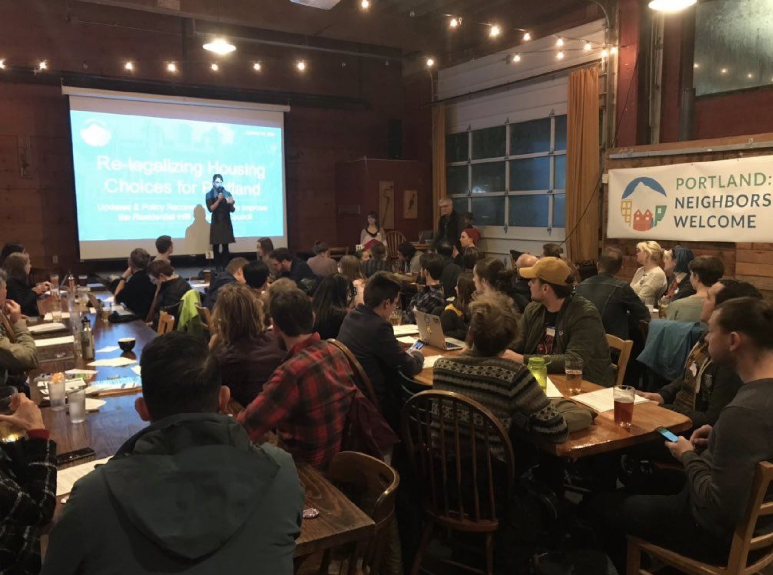
Ride highlights link between bicycling and housing on inner eastside
Portland can’t reach its cycling goals without a change in zoning codes that regulate housing.
🚨 Please note: BikePortland is currently on hiatus and only publishing guest articles. Learn more here. Thank you. - Jonathan 🙏
Portland can’t reach its cycling goals without a change in zoning codes that regulate housing.

Portland is poised to roll back innovative housing regulations even as it moves closer to a more efficient governance structure.
What good is affordable housing if the only safe way to leave it is by car?

These early decisions determine whether sidewalks and bike lanes will be built at all.
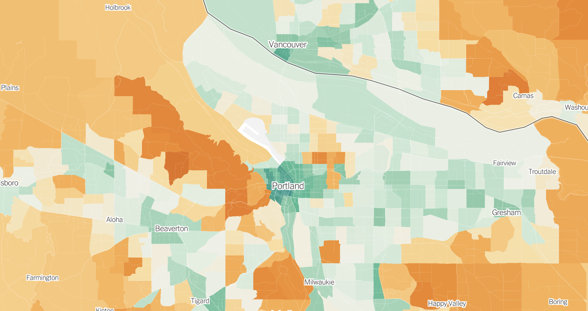
The neighborhoods colored deepest orange on the map include the wealthy east side areas of Irvington, Alameda and Laurelhurst.
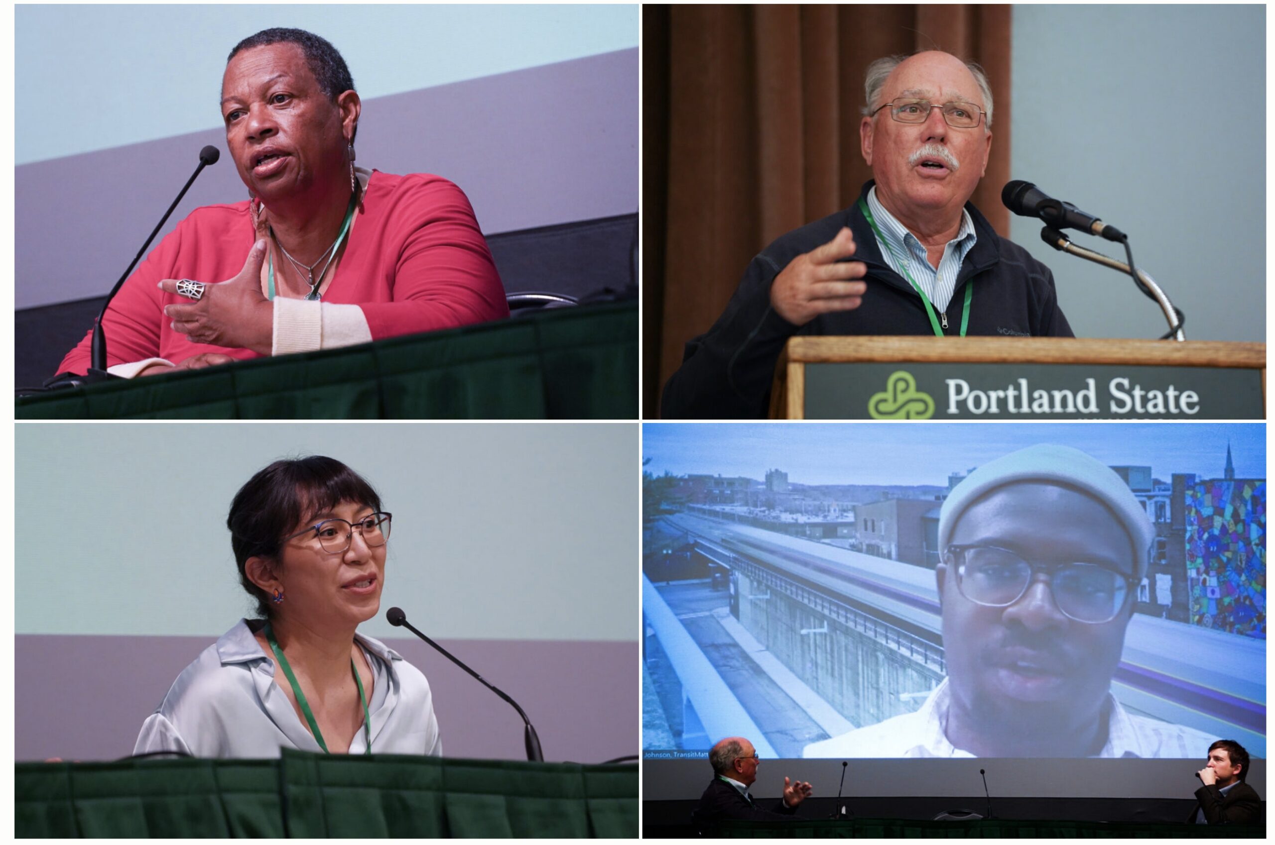
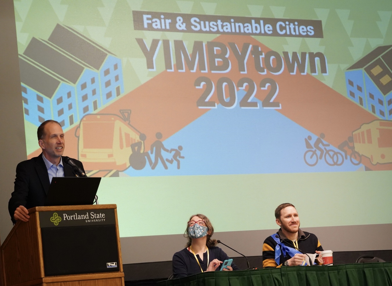
(Speakers from Monday. Click for names in captions. Photos: Jonathan Maus/BikePortland)

What if there was a form of shelter that was much less expensive than housing and more private, comfortable and mobile than living on the street?
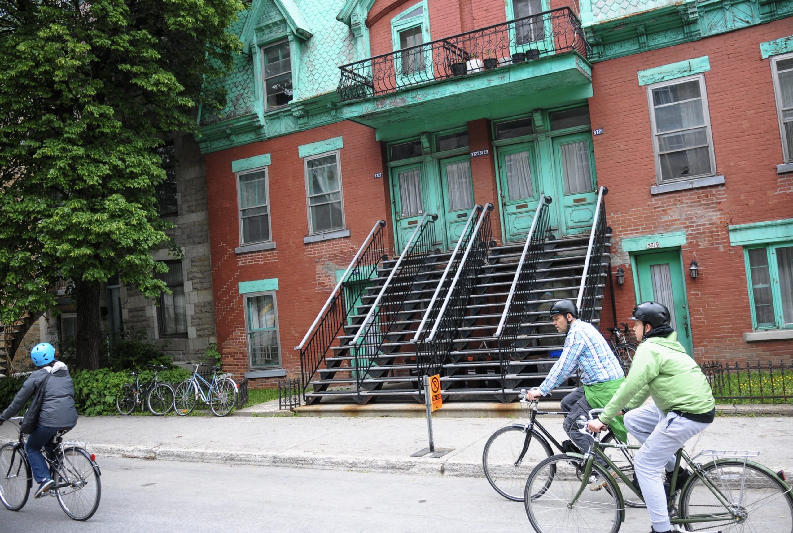
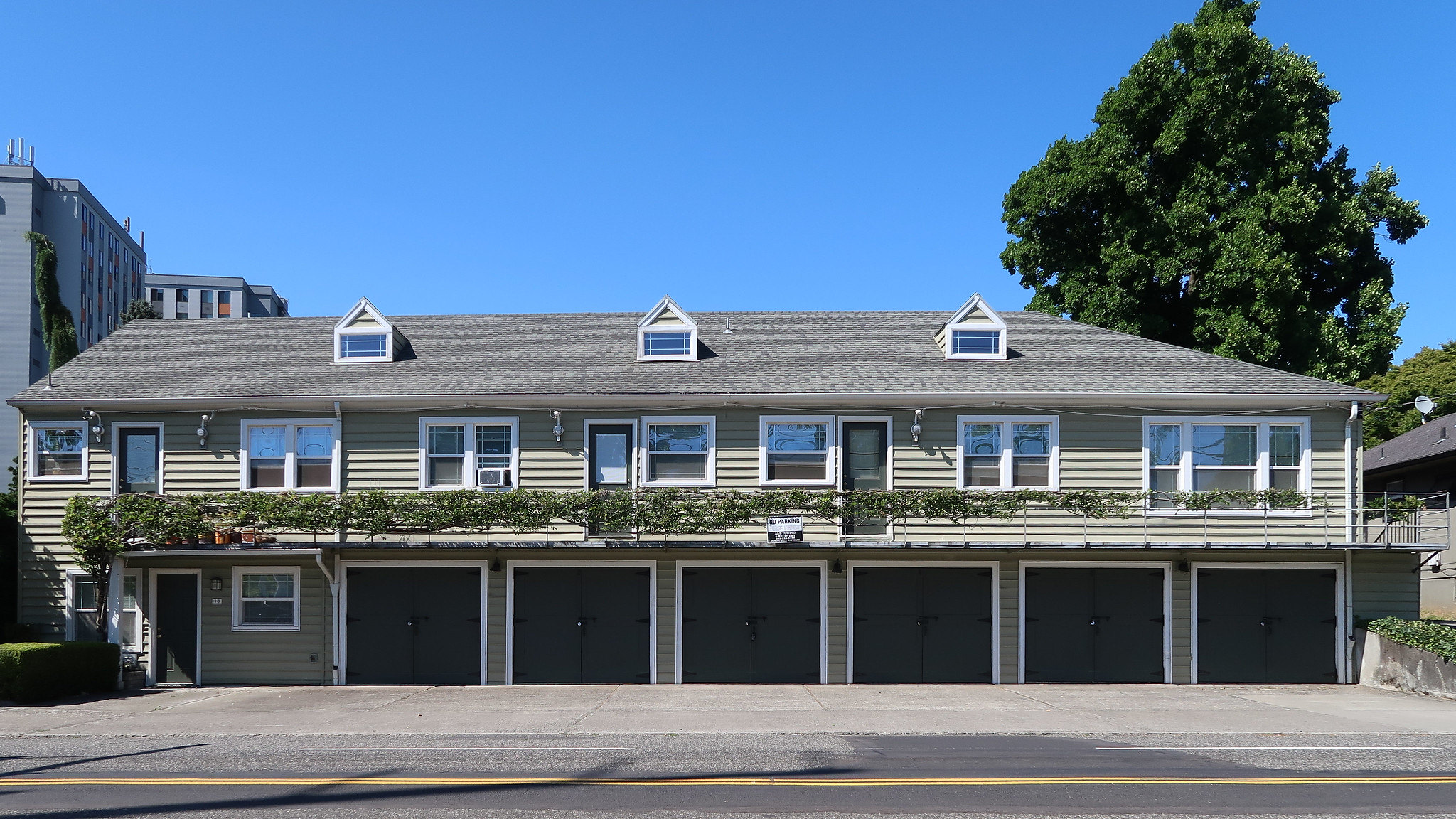
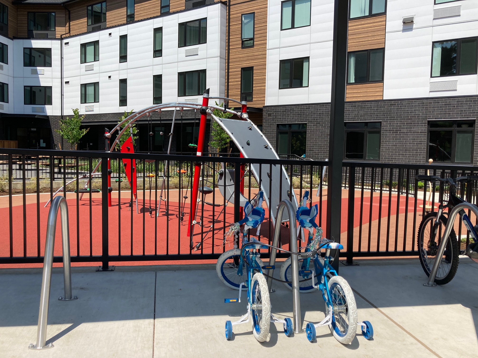
How we build housing in our cities is directly linked to whether or not people will bike in them. As we’ve been saying around here for years, proximity is key to a bike-friendly future and housing policy and biking are closely intertwined. That’s why the package of policies passed by Portland City Council this morning … Read more
When more people live closer to each other and to destinations, they will ride bikes more. That’s one reason housing and land-use is crucial if we want to reach our bicycling goals.