🚨 Please note: BikePortland is currently on hiatus and only publishing guest articles. Learn more here. Thank you. - Jonathan 🙏

Steel Bridge skatepark advocates break symbolic ground

Construction of a long-awaited skatepark in Portland’s Old Town has officially begun. Well – sort of. 

The proposed Steel Bridge Skatepark, which will be located in a vacant lot in Old Town bordered by NW Naito Parkway, 1st Avenue, and Everett, has been a part of Portland’s Skate Park Master Plan for years. But despite an award-winning design and a plan for the site endorsed by City Council in 2011, the vacant lot is still just a field – no half-pipes or bowls in sight.

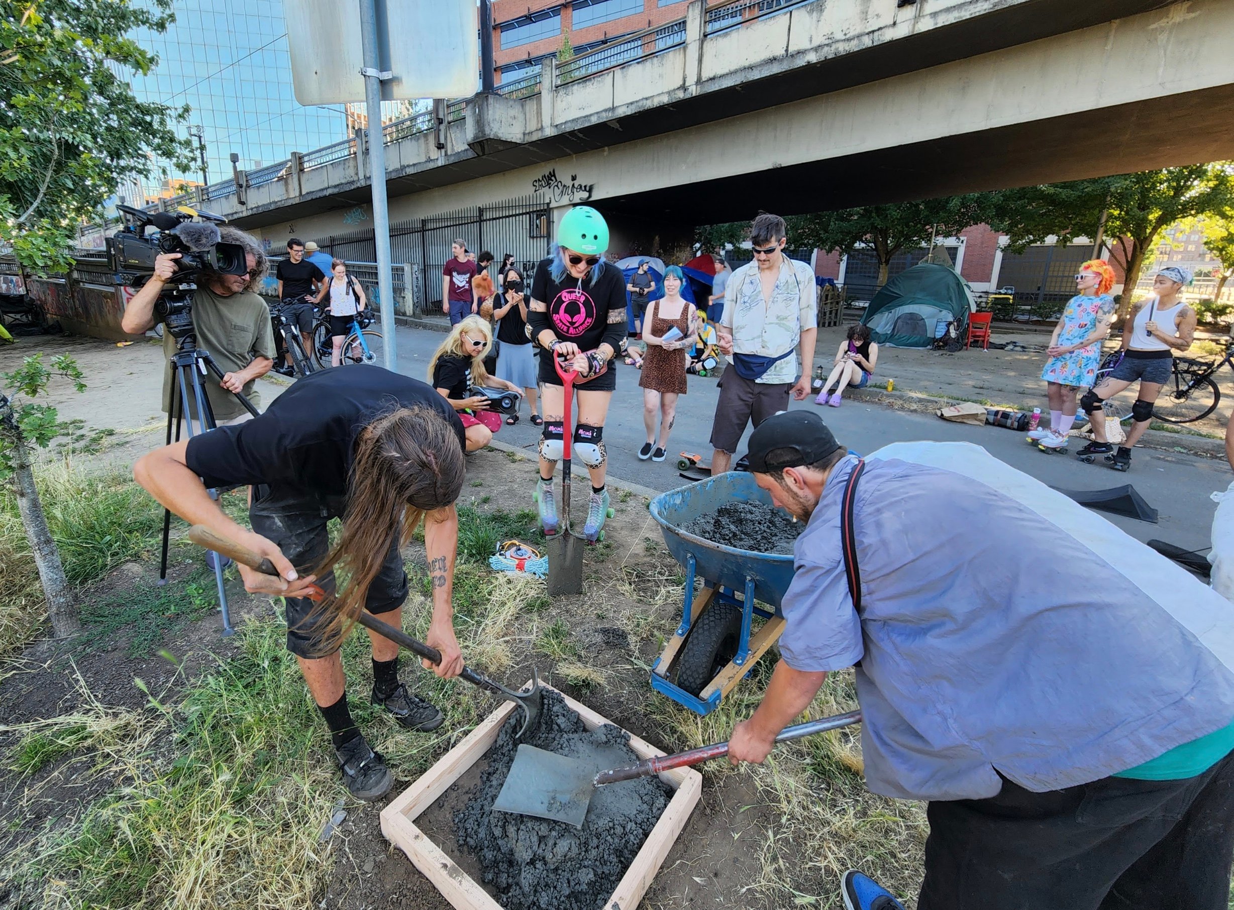
Yesterday, advocates for the skate park held a ceremony to ‘break ground’ on the park. As an act of protest they created a small ramp with a wheelbarrow’s worth of concrete and even held a preemptive ribbon cutting.

Skaters hope this symbolic groundbreaking will bring awareness to the need for this skate park and convince city officials to start making some headway on the project. 
Advertisement

“We advocate for multimodal transportation options of all kinds… And skateboarding is as big part of that as bicycling.” 

– Madi Carlson, The Street Trust

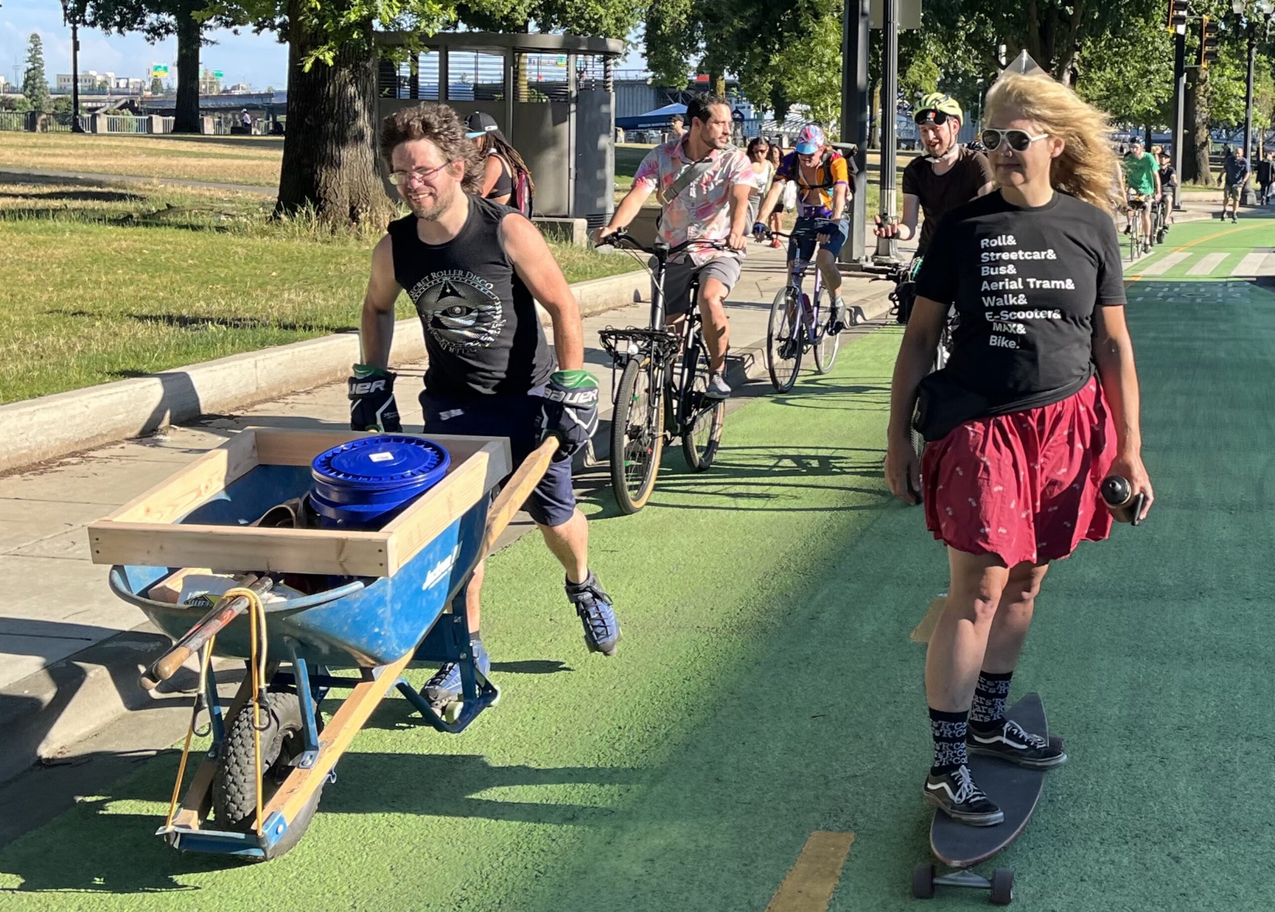
A group of people from organizations like Portland’s chapter of Community in Bowls (CIB) and The Street Trust rolled on bikes, skateboards, and roller skates together from Salmon Street Springs to the lot in Old Town, where advocates discussed why this skatepark is important to them. 

CIB Portland, an organization working to provide “an inclusive space for people, especially underrepresented groups, to quad skate together and form a community.” Sarah Sands, a CIB administrator, said this skatepark would create a space for people to feel “safe, included and supported.” 

Madi Carlson, Community Engagement Manager at The Street Trust, said she thinks it’s important to recognize skating of all kinds as a viable transportation mode. In order to do that, there needs to be more spaces for people to hone their skills and cultivate a like-minded community. 

“Skate advocacy is transportation advocacy,” Carlson said. “We advocate for multimodal transportation options of all kinds, including skateboarding, that are equitable, accessible, safe, and promote climate justice. And skateboarding is as big part of that as bicycling.” 

During the pandemic, skating – especially roller skating – experienced a huge surge in interest nationwide. And Portland’s roller skating scene has blown up with the advent of a weekly Secret Roller Disco session. Skating advocates want to keep this enthusiasm going. 
Advertisement
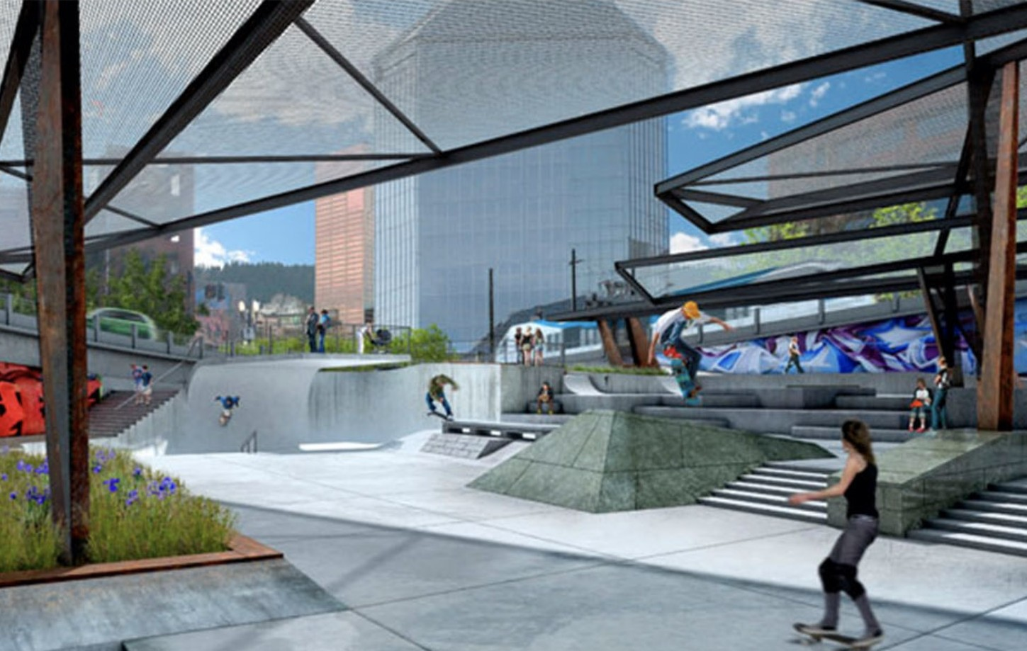
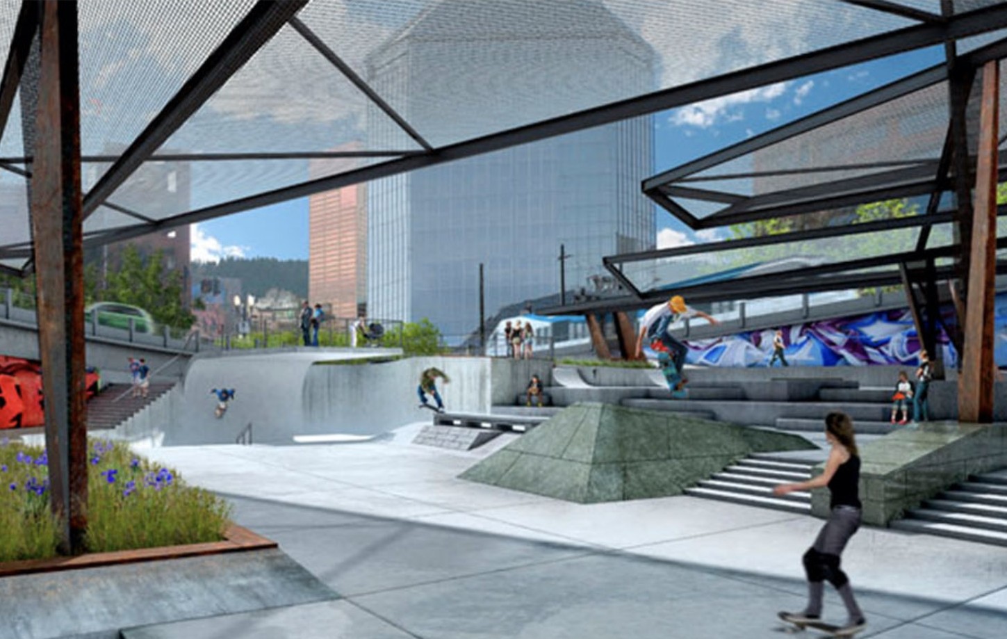
Skatepark design by DAO Architecture.

“Covid has separated us and made us distant with friends and family. Now should be a time for healing, and we need tools to facilitate that,” Tope Sosanya, a BMXer who runs advocacy group PDX Skateparks, said at the ceremony. “Skate parks are a great platform for people to find community, friendship and creativity.” 
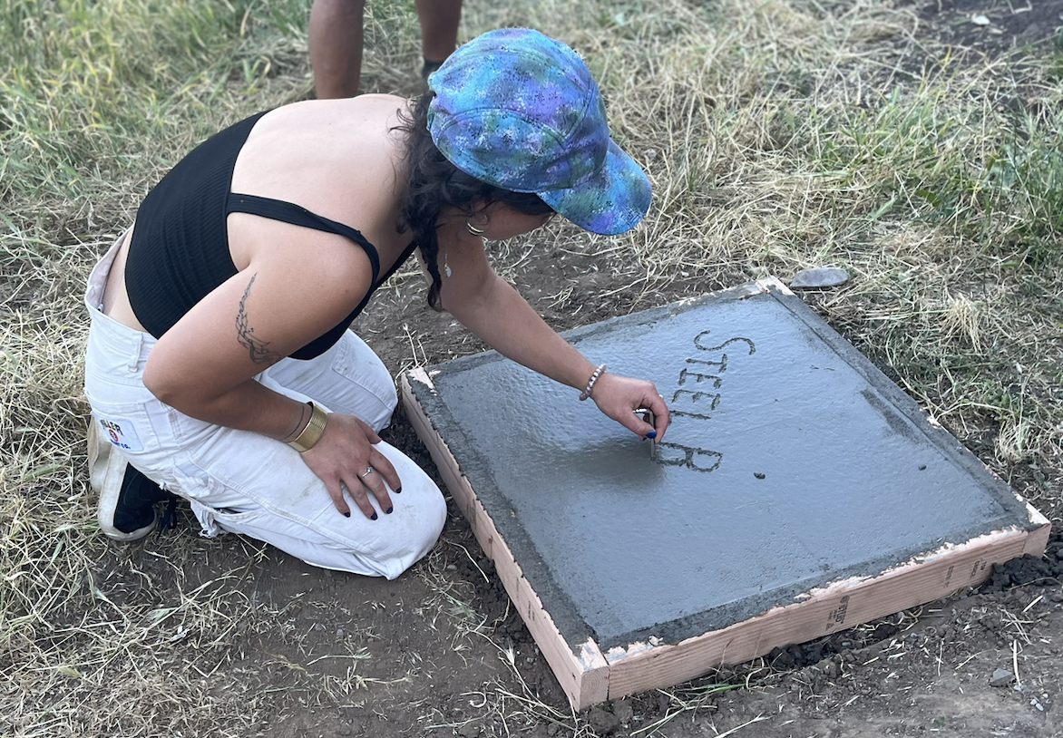
(Photo: Taylor Griggs/BikePortland)

The design plan for the Steel Bridge Skatepark includes a cover, which would make the space available during Portland’s rainy winters. 

“If this park was covered, we would be able to expand our programming from just happening in the summer dry months to year round,” Sands said. 

Advocates said they will continue pushing for this skatepark and working on DIY efforts to get construction moving.

The Burnside Skatepark just across the river is an example of a successful DIY skatepark that began as an illegal venture but remained in place once the city realized how popular it was. This time, advocates say they want the city’s help, but they’re going to put in the work to make it happen, “One bag of concrete at a time.”

Longtime skate advocate Ryan Hashagen (who you might’ve seen on roller skates among a sea of bicyclists at Pedalpalooza events), said he’s optimistic about the future of this park. 

“The City of Portland is going to build this skatepark,” Hashagen said. “There’s no doubt in my mind.”
E-bikes have changed the game. Is it time to change the rules?

person riding an electric bike on a street
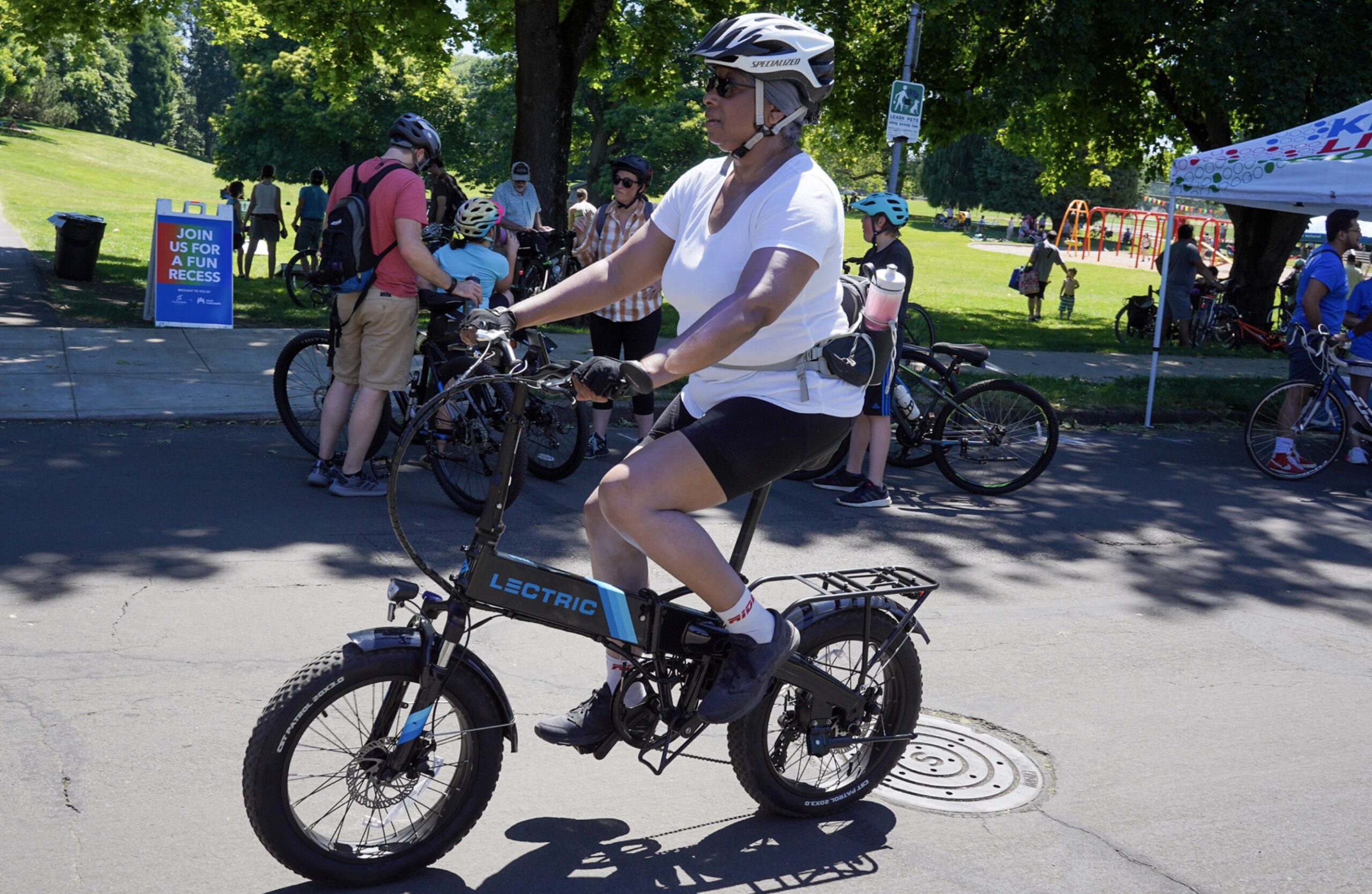
One of the many electric bikes ridden at Sunday Parkways on June 26th. (Photos: Jonathan Maus/BikePortland)

E-bikes are to transportation what Steph Curry is to basketball*. They have changed the game. And there’s no going back.

The e-bike revolution has been building for years, but it feels like the scales have tipped even more lately due to better and cheaper products on the market, high gas prices, climate change concerns, a growing anti-car movement, a desire for more community-centered mobility, and many other factors.

As I see a larger and larger percentage of Portland’s fleet electrify, it feels like our best practices and transportation policies haven’t kept up. For decades, bike planners have used a playbook that was created with non-electric (also called “acoustic”) bikes in mind. Put another way, all our modeling and assumptions around how to design and engineer a bike-friendly city have been done with a standard, non-electric bike in mind. 

But e-bikes are different from their non-motorized cousins. Do they require a different planning approach?

I’ve kept a list of bike planning topics that might need to evolve in order to better serve e-bike riders. Give it a read and let me know if you have something to add…

Advertisement

Time and Distance

traffic sign with destinations and biking distance
These estimates were made prior to the revolution.

It’s easier to go faster on an e-bike, so I think it’s reasonable to assume that most people go faster on an e-bike than a conventional bike. Most e-bikes have a 20 mph top speed, but many of them top out at 28. (Another category goes even faster, but I don’t consider those “bikes” for purposes of this discussion.)

The folks at Portland Bureau of Transportation (PBOT) use an average cycling speed of about 10-12 mph to make all their assumptions about time and distance. Why does this matter? Well, you know those handy wayfinding signs (right) on neighborhood greenways that tell you how far away something is and how long it will take you to bike there? Those assume you ride about 10 mph. (And don’t get me started about how Google and Apple need to have an “E-bike” route option in order to display accurate trip times.)

Signal timing is another big one. Portland has many bike signals, and even more traffic signals that take biking speeds into account. If those calculations are based on people riding 10-12 mph, PBOT’s timings won’t be properly synced to actual behaviors.

The average speed of Portland’s bike fleet has gone up — and will continue to go up — in the coming years. Our bike-specific infrastructure should reflect these higher speeds not just out of respect for accuracy, but because when it comes to choosing a transportation mode, speed matters. Faster bike trip times will make cycling more competitive with driving and will encourage more people to ride.

Advertisement

Route Choices

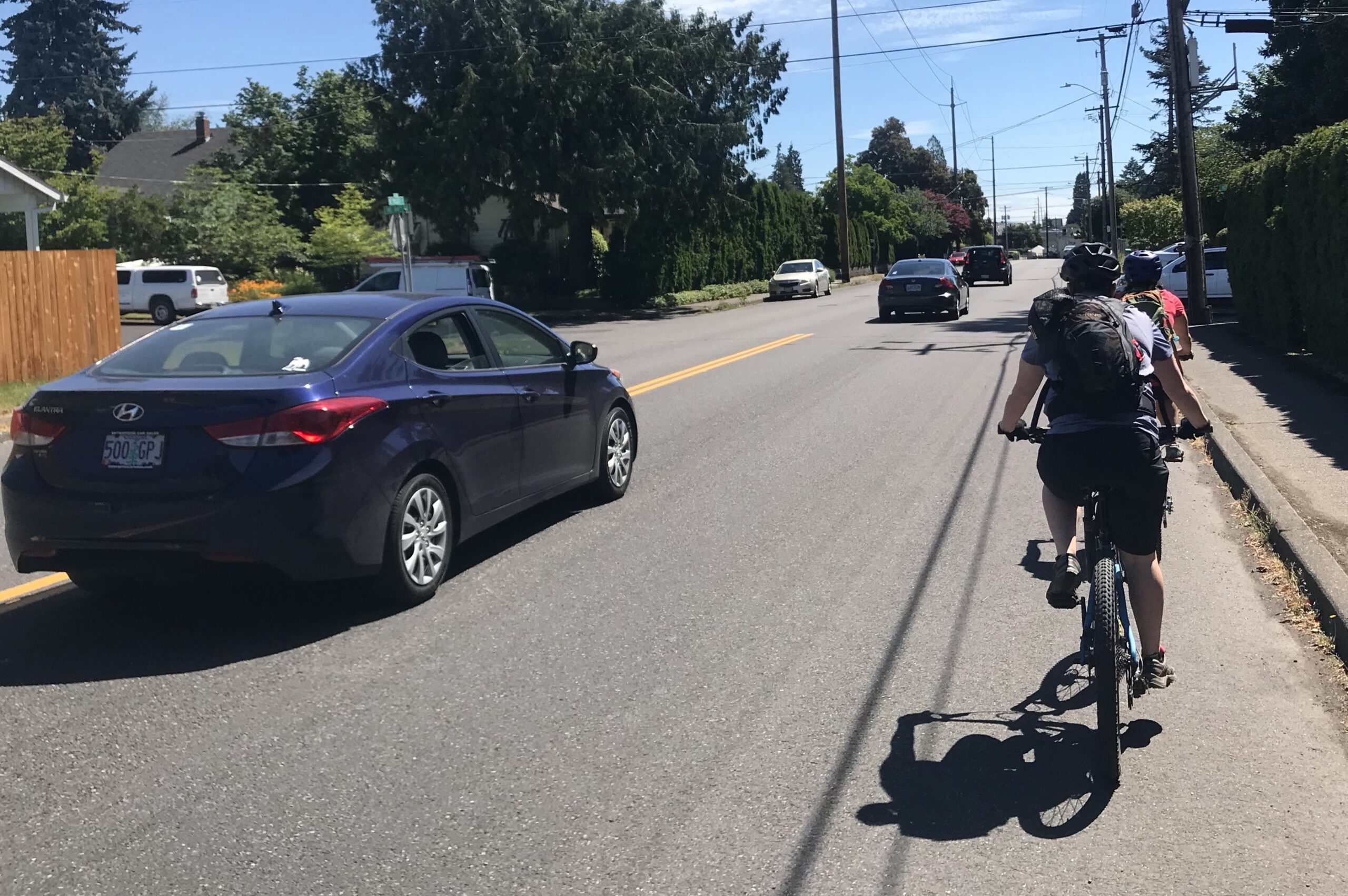
Streets like NE Prescott, with ample shoulder space but no bike lane, are much more feasible on an e-bike.

A big part of local bike planning is deciding where the “bike route” should go. In Portland, many of those decisions are based on the riding behaviors of people on non-electric bikes. 

But e-bikes can completely change where and how someone rides. Their larger size, hefty stature, stronger brakes, bigger tires, and so on, embue riders with a greater sense of power than traditional bikes. Add the ease of greater speeds, and you have a vehicle that balances out the power dynamic on the road in a way that adds new confidence to some riders.

Taking off from a stop at a large, sketchy intersection with a load of cargo? No problem on an e-bike. Taking the lane to make a left turn? No problem on an e-bike. Sharing the road with car users? Less of a problem on an e-bike.

When I’m in a hurry on my e-bike, I don’t use designated bike routes as much as I used to. I want the most direct route I can find. And because my bike gives me more confidence to ride in traffic with car users, I find myself on collectors (like NE Prescott or SE Belmont), commercial district streets (N Mississippi, 28th, Hawthorne, NE Alberta) and even arterials (MLK/Grand, Lombard), much more often. 

Big crossings, hills, or busy streets that used to be the death knell of a recommended bike route and cause planners to scribble circuitous routes around them. But with e-bikes, we should expand our map and be less afraid to mix cars and bikes.

What would our bike maps look like if we assumed more people were using e-bikes? I think we’d have a lot more direct routes and shorter travel time estimates, both of which would make bicycling even more attractive than driving for more people.

Advertisement

Parking

E-bikes need to be plugged in sometimes. They are heavier, and they often have a much larger footprint than traditional bikes. Their frame tubes also have wider diameters. These are all things bike parking designs need to take into account.

For instance, hook racks are relatively popular in our city. TriMet uses them on MAX and they’re probably the most popular offering for apartment/condo builders because of how they save floor space. Hooks have always been bad in terms of accessibility, but with many e-bikes weighing 55-70 pounds, they are 100% unusable for most people. 

And if you thought people were concerned about bike theft with a $750 commuter bike, wait until they drop $3-4,000 on an e-bike! In the e-bike future, folks will simply not ride to a destination that doesn’t have secure bike parking. 

Misc.

Other stuff that we need to adjust to the revolution include:

  • Education and maintenance: Any nonprofit or government agency that offers bike clinics needs to be ready to answer questions about battery storage, charging, and other e-bike tech.
  • Street design: We already offer constrained infrastructure too many parts of our bike network. I’m talking about unnecessary chicanes, awkward transitions from street-to-sidewalk, bollards on paths, and so on. With larger e-bikes (especially the cargo variety), these things create even larger barriers to use.

That’s my list so far. I’m sure I’ll add to it in the coming months and years. What do you think? How else should our best practices and assumptions change to fully embrace this revolution?


*Steph Curry, a member of several NBA championship teams with the Golden State Warriors, changed the game of basketball by introducing a level of proficiency with long-distance shots (“3-pointers”) that was previously unheard of. As the greatest shooter ever he has influenced how everyone plays and coaches the game.

Transportation Wallet programs helps thousands of Portlanders choose active transportation options

From Portland Bureau of Transportation:

(July 7, 2022) The Portland Bureau of Transportation’s (PBOT) Transportation Wallet has been helping Portlanders choose more sustainable travel options since 2017, by lessening demand for car usage and vehicle storage while encouraging users to bike, walk, roll, or take transit.  At a time with high inflation and gas prices, this program is more important and valuable than ever. In particular, the Transportation Wallet: Access for All, which developed from the Transportation Wallet for Residents of Affordable Housing pilot serving people living on low-incomes, will expand starting in early 2023, giving Portlanders who need it most a chance to take advantage of the program’s savings.   

Transportation Wallet programs are designed to encourage people to drive less, try new travel modes, manage on-street parking demand, and lessen cost of transportation especially for people and households living on low-incomes.  

Currently, the universe of Transportation Wallets is made up of three sub-programs: 

Transportation Wallet in Parking Districts 

Transportation Wallet: Access for All (Formerly known as Transportation Wallet for Affordable Housing pilot)

Transportation Wallet for New Movers 

Transportation Wallet: Access for All: All the benefits at no-cost for income-qualified Portlanders 

In 2019, PBOT launched its own Universal Basic Mobility program, known as the Transportation Wallet for Affordable Housing. The two-phase pilot program offered a limited number of free Transportation Wallets for people living in partner affordable housing sites. Due to the success of the pilot and funding coming from the new the Parking Climate and Equitable Mobility Transaction Fee, this program is expanding to Transportation Wallet: Access for All launching in early 2023 to offer more (but still a limited number of) free Transportation Wallets for people and households living on low-incomes to reduce the burdens of transportation cost and increase the ability for people to get where they need to go.   

Beyond helping people try new ways to get around, like BIKETOWN bike share and shared e-scooters, the participants from the Transportation Wallet for Affordable Housing pilot reported that they save money on their transportation costs and that managing their monthly budget was less stressful because of the Transportation Wallet – “It [Transportation Wallet] gave me confidence when travelling that I’d always be able to get there and back.”  

Transportation Wallet in Parking Districts: Making it easier to choose sustainable transportation options 

The Transportation Wallet in Parking Districts has proven to be an effective incentive to get people out of their single-occupancy vehicles and instead use transit and shared mobility options including e-bikes, e-scooters, and car-share services. Since fall of 2017, the program has distributed nearly 7,000 Transportation Wallets, of which 48% of those represent people trading in parking permits, one of many strategies PBOT uses to manage parking demand and reduce congestion. While gas prices and inflation have increased, the Transportation Wallet in Parking Districts has expanded its benefits but remains at the same great price; $99 for qualified people in the Northwest and Central Eastside Parking Districts to purchase or free to people living on low incomes or those who trade in a parking permit. 

A fall 2021 survey found Transportation Wallet holders were three times more likely to commute by public transit and bike than by driving. PBOT’s 2021 Transportation Wallet in Parking Districts report highlights how this program encourages people to choose lower-carbon transportation options, such as TriMet, Portland Streetcar, and BIKETOWN. For just $99 people can purchase a 2022 Transportation Wallet valued at $775 (Northwest Parking District) and $800 (Central Eastside Parking District) in transportation credits and vouchers. These offers are provided at no cost to people who qualify based on income or who trade in parking permits.  

Survey results also show these commuters are 30 percent less likely to drive their car and are approximately 40 percent less likely to call a cab or ride-hailing service. 

Are you moving soon? The Transportation Wallet: New Movers could be for you! 

When someone moves into a new apartment, it’s likely they’re about to experience a new commute to work or school. PBOT’s New Mover Program aims to help people make sustainable transportation choices as they move into certain multi-unit buildings constructed in Portland. Funding for the New Movers program comes from a Multimodal Incentive Fee, paid for by housing developers to help new residents choose alternatives to car-dependent travel patterns. 

Small price change, widespread benefits 

On July 1, 2022, PBOT’s Parking Climate and Equitable Mobility Transaction Fee went into effect. Drivers using Portland’s metered street parking spots may have noticed the addition of a 20-cent transaction fee, which will help support sustainable transportation options for all Portlanders. This small fee is collected through parking meters and PBOT’s Parking Kitty mobile app and sends an initial price signal about the costs of parking. 

PBOT anticipates this transaction fee will collect $2 million in revenue annually, some of which will directly support the Transportation Wallet: Access for All program as well as programs and projects that reduce carbon emissions and prioritize equitable outcomes while reducing traffic demand. Read more about the Parking Climate and Equitable Mobility Transaction Fee: https://www.portland.gov/transportation/equitable-mobility-taskforce/transaction-fee-overview 

Even more is on the way! Web-based and mobile App aims to make Transportation Wallet easier to use 

To more seamlessly allow people with a Transportation Wallet to use their credits, in 2023 PBOT will team with RideShark to launch a Transportation Wallet mobile and web-based app. This technology will allow users to more precisely track their credits and more easily redeem them. The additional user data will provide program planners with useful information to better tailor the program to customers’ needs and deliver more targeted outreach to drive program engagement. Sign up for updates about the Transportation Wallet. Subscribe to the following newsletters for updates on our Northwest Parking District program and our Central Eastside Parking District Program

A moment of truth for local politicians and the Interstate Bridge Replacement Project

Traffic lanes just south of the Interstate Bridge. (Photo: Jonathan Maus/BikePortland)

This week leaders from Metro and the City of Portland will make a decision on whether or not to support the multi-billion-dollar megaproject that would widen I-5 between Portland and Vancouver and replace the aging Interstate Bridge. They are being asked to endorse the project’s Locally Preferred Alternative (LPA), a major milestone in the federally-required environmental review process.

The LPA is what will move forward into more in-depth analysis. If a particular design isn’t part of the LPA, the project team has every (legal and political) right to say, “Sorry, that wasn’t endorsed as our LPA. We can’t look at that.”
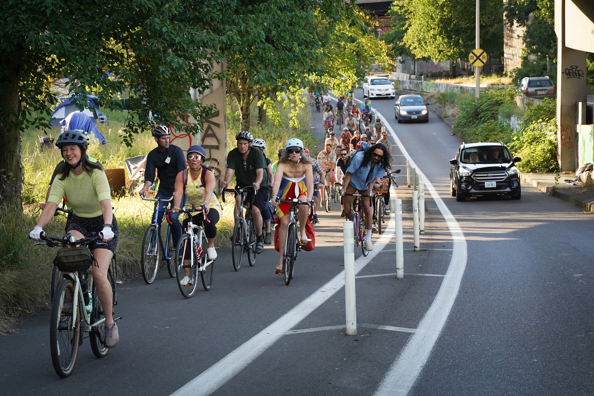
Suffice it to say, this is one of the rare moments when local political bodies can assert influence over this massive project. And while the tea leaves suggest it will get the votes it needs, there’s still a lot to watch as this week’s discussions unfold. 

Below is a bit of context of where the project stands, followed by a few thoughts on the two big votes ahead.

Advertisement

Project Status

They all want more options in the LPA.

You’d think that after its spectacular failure a decade ago (when it was known as the Columbia River Crossing project), IBRP staff would have figured out how to clear the many hurdles required to reach the finish line. But it hasn’t played out that way. 

Just last month, Willamette Week reported on a “significant complication” of the proposed design being too low for the U.S. Coast Guard to support. Like they always do, IBRP project staff said it’s much ado about nothing and they’re working with USGC to find a solution they can support. 

But contention about the height of the bridge (too low and ships can’t pass through, too high and transit and other users can’t get over) is just one of the many little fires the IBRP team is trying to put out. 

The project is being criticized for being too small and too big, and there are still many unanswered questions around how it will be funded and other key details.

The headline from the LPA is that the project is recommending the “one auxiliary lane” option; but a noted critic of the project, urban economist and No More Freeways co-founder Joe Cortright, says that could be a wolf in sheep’s clothing.

The Just Crossing Alliance, a coalition group that includes The Street Trust, Bike Loud PDX, Sightline Institute, Sierra Club, 1000 Friends of Oregon and many others (at right), thinks it is, “irresponsible to move forward with this single alternative.” They want Metro and Portland City Council to delay a vote on the LPA and require the Oregon and Washington departments of transportation to include another design alternative (like a lift bridge or tunnel) to be studied further.

On the other end of the advocacy spectrum, the IBRP is hearing that their LPA isn’t big enough. At a meeting of the City of Portland Freight Advisory Committee last week, several members made it clear the design should have more lanes. 

After seeing a presentation by an IBRP staff person, Columbia Corridor Association Executive Director Corky Collier said,  “In the CRC process, the data was quite clear that three auxiliary lanes worked best for traffic flow, but two auxiliary lanes was a close second place. And one auxiliary lane was a distant third place.” Oregon Trucking Association President Jana Jarvis also sounded skeptical of the LPA being only one auxiliary lane. “One of the things that stuck out in my mind when I looked at the numbers [of one auxiliary lane] was northbound traffic during certain periods of congestion only improved by two minutes,” she said, while asking for more analysis of two lanes. 

At that same meeting, IBRP Deputy Program Manager John Willis cautioned members about equating auxiliary lanes with increased capacity. “I’m probably going to get in trouble for saying this,” Willis said. “But I think when we start describing the aux lanes from a capacity point of view we miss the real reason for putting those in… it’s safety, it’s operations, and yes, they do improve flow for the three general purpose lanes.”

“So Corky, you and I have to learn to refer to it as ‘flow’ and not ‘capacity’,” Jarvis replied, “We got it, John, we will change our terminology.”

There will be a lot of careful words chosen on Wednesday and Thursday when Portland City Council and Metro convene.

Advertisement

Portland City Council (Wednesday)

After her predecessor demonstrated historic opposition to the project and gave local activists a glimmer of hope, Portland Bureau of Transportation Commissioner Jo Ann Hardesty just wants to get something built. 

Hardesty supports the LPA and will frame it as a win for herself and activists because of how it could have been much wider. Without objections from Hardesty, no other council member will dare stick their necks out to stop this project’s inertia.

I can imagine Commissioner Mingus Mapps asking questions about climate impacts and funding, but IBRP staff will be prepared to return serve and will very likely win the point.

Metro Council (Thursday)

Metro is the vote many activists will watch closely. 

You might recall back in January when they adopted a long list of detailed conditions for their support of the LPA. Councilors wanted project staff to study different design options that would be less expensive and dramatically increase transit ridership. They wanted an “investment grade” financial analysis, more details on climate impacts, and so on.

The project team has not met those conditions. Instead they are saying, essentially, “We hear you. You’ll have to trust us.” 

And there have been serious concerns leveled by Metro councilors in the recent past that they’ll have to rectify with themselves — and with voters — if they endorse the current LPA. Over the past few months, the tone has become a bit more agreeable, but that was before a clear line in the sand needed to be drawn. 


Stay tuned for more coverage. Follow our live thread on Twitter starting with the Portland council meeting Wednesday at 9:45 am.

Skatepark supporters to break ground on Steel Bridge Skatepark

via Steel Bridge Skatepark:

Rendering: DAO Architecture

The Steel Bridge Skatepark is considered the “Crown Jewel” of 2005 city council approved City of Portland Skatepark Master Plan, but has never seen any action from the City of Portland and just languished on a dusty shelf of plans. 

TODAY, Tuesday, July 12th, Portland Skaters and Skatepark Supporters will take action and will host a Symbolic Groundbreaking for the Steel Bridge Skatepark by pouring the first concrete of the new skatepark.  This Symbolic Groundbreaking for the Steel Bridge Skatepark is to bring awareness to NW Portland’s need for community space for all levels of skating skills and all walks of life!

The event will occur at 6:30pm at NW 1st and NW Flanders.  Speakers from the Street Trust, Community in Bowls, Advocates for Portland Skateparks, and others will be sharing thoughts as we break ground and pour the first concrete for the Steel Bridge Skatepark!

A procession of skaters will lead to the Steel Bridge Skatepark groundbreaking.  The procession will meet at 5:30pm at Salmon Street Fountain and depart at 6pm to head north along Better Naito to the Steel Bridge Skatepark site for the groundbreaking at 6:30pm

—-

While the Steel Bridge Skatepark has not yet been built, the skatepark design has already won multiple national and international design awards for the work done by local firm, DAO Architecture. 

The Steel Bridge Skatepark award winning design is more accessible to skaters with a wider range of skills. Portland’s best skatepark, the “Crown Jewel” of the City of Protland Skatepark Master Plan, needs to be broadly accessible by public transportation.  The Steel Bridge Skatepark can be reached by numerous Max and Bus lines, creating a regional destination and space for active growth and learning by a diversity of skaters. Portland needs a world-class skatepark that can attract international skate events into the heart of our city and include spaces for families and spectators. 

The Old Town Community Association supports this plan, skaters support this plan, City Council has approved the Steel Bridge Skatepark…. Now the City of Portland just needs to build the Steel Bridge Skatepark!  Until then, Skate advocates will make progress by starting to break ground!

Burnside Skatepark is nearby and will be closed for several years during bridge reconstruction.  It is a park only for advanced skaters. Through a history of strong skater involvement, Portland is one of the best skateboarding cities in the country.  Now it’s time to have a world-class facility that reflects this status and is welcome to all skaters, regardless of skill or background. 

Interest in skating is on the rise including park skating, roller skating and other freewheel sports.  

Portland should do what it can to make sure that future Olympic champion skaters come from our city.

A closer look at the Waterhouse Trail gap on Bethany Blvd (video)

A parent should be able to send their 12-year-old to a day at summer camp or to run an errand by bike without worrying about them getting hurt (or worse) in a traffic crash. Especially if those destinations are along a regional path managed by agencies who say they care about climate change.

That’s what Tina Ricks thinks. It seems like a simple thing, but after months sloshing around in the bureaucratic mud, she has found out it’s anything but.

Ricks (@tinaintheburbs on Twitter) is on a mission to make the Waterhouse Trail a safe and feasible option for bicycle riders of all ages, and a key part of making that happen is to close a dangerous gap in the path where it crosses Highway 26 on NW Bethany Blvd between Bethany Court and Bronson Road. It’s just ¾ of a mile but it’s a deal-breaker for all but the most confident and patient riders.

I met up with Ricks recently to learn more about what she’s been working on and see for myself how bad current conditions are.

Advertisement

The Context

The Waterhouse Trail is a 10-mile paved path that follows a powerline corridor between housing developments from the 158th/Merlo MAX light rail station in Beaverton north to Bethany (unincorporated Washington County). It’s typical of the many paths in this area in that it’s a very mixed bag when it comes to bikeway quality. 

Some spots are sublime, but in other places the path is either too narrow, full of bumps, has way too many turns, has awkward and unsafe street crossings, or some combination of all of these.

The section Tina is most concerned with is where the path ends into an industrial park near the busy intersection of NW Bethany and Cornell Road. From there, people are taken from the quiet and carfree path and dumped onto a stressful street shared with drivers where path users are barely an afterthought. 

Adding salt to the wound is that the industrial area where the trail ends is full of kid-oriented destinations. There’s a pediatric care office, a martial arts studio, a gymnastics school, indoor soccer facility, and a daycare center.

About a mile east, Metro, Tualatin Hills Park and Recreation District, and other agencies plan to build a new carfree bridge to connect the Westside Trail over Highway 26, but that won’t help this gap and likely won’t be built for several more years at least.

Advertisement

Riding The Gap

On Bethany Court, at the path’s southern terminus, parking is allowed on both sides of the street despite parking lots in every direction. “I counted 459 spots on Google Maps,” Tina said as we rode, “But people still want to park on the street.”

A current plan from the City of Beaverton would limit on-street parking to just one side. But Tina is pushing to remove all of it. (At least one Beaverton City Council member seems to support her. “I like your thinking around no parking,” Councilor Nadia Hasan shared in an email to Tina last month.) 

Advertisement

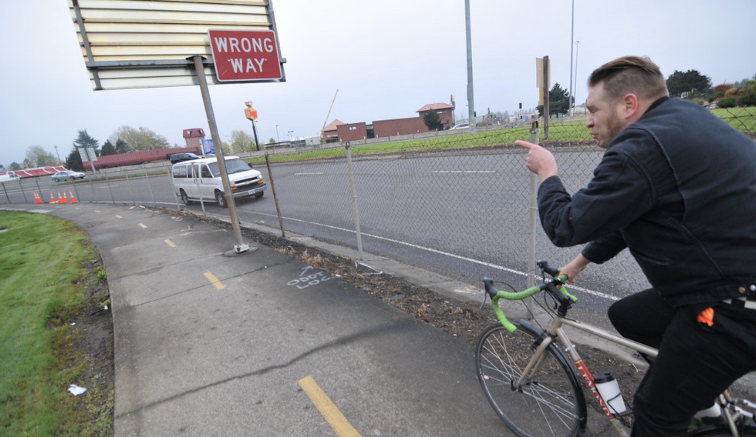
If not for a very small sign high up on a traffic pole, we wouldn’t know that the bike route is on a sidewalk going against traffic. (Tina said she’d biked this route for two years and had never noticed the signs until a County staff person pointed them out to her.) As we crested the Highway 26 overpass it was hard to hear each other over the roar of car traffic adjacent and below us. 

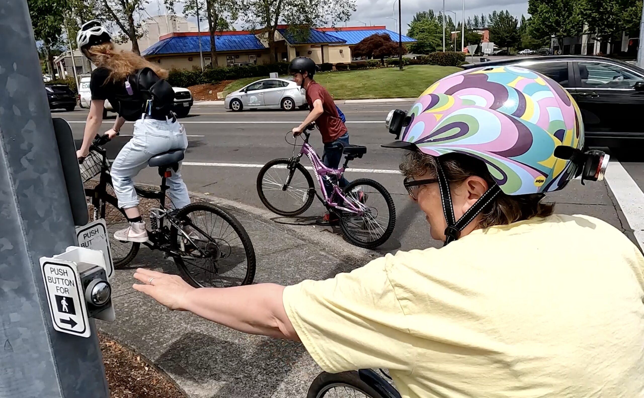
Putting full trust of our lives into “Walk” signals, and after hitting six beg buttons and crossing four major intersections in the course of just a few blocks, we finally re-connected with the Waterhouse trail and could breathe easy again.

At Bethany and Cornell, Tina points out that crossing is prohibited for non-drivers at the southeast corner so we have to reposition our bikes and use painted crosswalks to get across the ten lanes of traffic, plus a slip lane. Cornell has a 40 mph speed limit and we feel like fish-out-of-water as we navigate our way across.

The Red Tape

Trail gaps are notoriously difficult to close for a variety of reasons, mostly because they’re often seen by governments as recreational facilities and not serious transportation infrastructure. In this case, Tina’s challenge is even tougher because of a nightmare of overlapping jurisdictional boundaries.

In just 3,800 linear feet between the two Waterhouse Trail access points the roads and intersections are owned and managed by three different government bodies: City of Beaverton, Washington County, and the Oregon Department of Transportation.

There has been some collaboration in the recent past, like when the County widened Bethany Blvd a decade ago, they got ODOT to sign off on (but not fund)  the wider sidewalks we biked on. But as you can see in the video, even if the County granted Tina her smallest ask — pavement markings to help guide folks through the gap — County staff have told her they could only paint the sidewalk up to the overpass where ODOT’s authority takes over.

What Tina Wants

At the most basic level, Tina doesn’t want her 12-year-old to be hurt or killed while biking here. As she says in the video, she thinks at the absolute minimum there should be much better signage and markings along the existing route. 

But that should be just the start. “I would love to see fully protected, Dutch-style bike paths so that a responsible parent would feel safe sending their middle schoolers to bike it,” Tina wrote in an email to one of the many government staffers she’s contacted about this. “So that all ages and abilities could ride the whole Waterhouse Trail, not just part of it. So that this could become a true transportation link as well as a recreational path.”  

Tina, like so many other people in our region, is doing this on her own. She’s not connected to any advocacy group, she’s not being paid. She just wants to make .

“My experience with this whole project is that about every week or two of barking up trees, someone sends me a puzzle piece in the mail,” she shared in a recent email to me. “And I have to figure out where it fits.”


Watch our ride-along video below for a closer look at Tina’s project.

Betsy Johnson’s distracted driving ad, car crash revelation, and more

Back in April, before Oregon primary voters decided who would be up for the general gubernatorial election in November, we reported on a concerning comment from from one of the candidates. Former Oregon state senator Betsy Johnson (D-Scappoose) told radio host Lars Larson she didn’t want any transit, bike or pedestrian facilities on a new I-5 bridge between Portland and Vancouver — an extreme position that is a political non-starter.

Johnson is running for governor as an Independent, marketing herself as someone with a “get ‘er done” attitude who can bypass the Democratic and Republican party establishment. This is appealing to some Oregonians who think our state’s current leadership is taking us in the wrong direction. Though Oregon has had Democratic governors for more than three decades, Johnson is showing she might be able to shake things up – polls now show Johnson and Democratic candidate Tina Kotek are locked in a tight two-way race.

Since then, more has come to light about Johnson’s transportation perspective. A recent series of questionable decisions and revelations is worth noting…

Advertisement

The 2013 car crash and aftermath

In a Willamette Week article published last week, Rachel Monahan reported that Johnson rear-ended another driver at a red light in Scappoose in 2013, when she was serving in the Oregon senate.

Both Johnson and the person in the other car, a 42-year-old woman named Melissa Gallentine, suffered serious injuries due to the crash. But when Gallentine filed a lawsuit against her to recover money for her medical expenses, Johnson tried to shirk responsibility by claiming legislative immunity. (In a statement to Willamette Week, Johnson said she was ‘thinking about a bill’ she was on her way to Salem to introduce, and ‘didn’t notice that the intersection light had just changed.’)

In the article, Monahan writes Johnson and her lawyers were “attempting to create a sort of Catch-22 that would have allowed Johnson and her insurance company to escape all responsibility.” Johnson also attempted to put the financial onus for Gallantine’s injuries on Oregon taxpayers, claiming the state should be responsible for footing the bill since she was serving legislative duty at the time of the crash.

“Johnson may not have overstepped the law. But her effort to exempt herself may prove embarrassing for a candidate who has made accountability and transparency bywords of her gubernatorial campaign,” Monahan wrote.

Advertisement

Distracted driving in a campaign ad

Even after the 2013 crash, it seems like Johnson hasn’t learned her lesson about distracted driving.

Last month, Johnson’s team posted a new campaign ad showing her driving past homeless encampments in downtown Portland and talking about her strategy for the city’s homelessness crisis. In the video, she’s shown taking her eyes off the road to directly address a camera in the passenger seat as she’s operating the moving car. That’s a concern, especially in downtown Portland where there are a lot of people riding bikes and walking. It’s troubling that Johnson’s team would make this decision without considering the irresponsible driving behavior it promotes.

‘City of roaches’

As is evident from the aforementioned advertisement, Johnson’s campaign has arguably targeted homelessness in Portland as the primary statewide concern, and in doing so, she has made disparaging comments about the state of this city some residents haven’t taken kindly to.

In at least two recent interviews, Johnson referred to Portland as ‘the city of roaches’ (as opposed to Portland’s official nickname, ‘the City of Roses’). An article in the Oregonian summarized the situation, stating “Portland does not actually have a cockroach problem. Instead, Johnson’s roach comment appeared to be her summary of how unsanitary, unsightly and unsafe she feels Oregon’s largest city has become.”

Johnson has denied accusations that she was referring to homeless people – she says she was talking about trash, not using a dehumanizing term for people who live on the streets – but the quippy comment didn’t land well and struck some as needlessly divisive.

In addition to these three examples, which have specifically created ire among transportation and homeless advocates (groups of people who often overlap in this city), Johnson has also received backlash for her controversial opinions about gun control recently platformed on TedxPortland. It was another moment when she made it clear calling yourself an independent isn’t necessarily enough to push past the political fighting happening across the state and around the entire country.

But Johnson has some big name supportand the money to prove it – so whatever your political affiliations, her campaign is one to pay attention to.

Job: Planners – Transportation and/or Land Use – City of Springfield

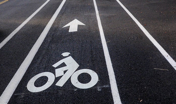
Buffered Bike Lane with a bike symbol and arrow pointing forward

Job Title

Planners – Transportation and/or Land Use

Company / Organization

City of Springfield

Job Description

The City of Springfield is seeking multiple planners to join our team to enhance Springfield’s hometown feel while focusing on livability and environmental quality, improving our infrastructure, and fostering an environment that values diversity and inclusion. In particular, we have opportunities for senior planners (Planner III) skilled in transportation and/or land use, as well as Planner I/II options for those earlier in their planning career. We are looking for planners who enjoy serving the community, develop positive relationships with stakeholders and bring shared visions to reality. Viable candidates for senior planner positions will demonstrate success in managing projects and/or processing complex development applications within a team environment.

With the passage of the state’s rules for climate friendly and equitable communities, the City is staffing up to be able to take on this important work which includes designating climate friendly areas, shaping the City’s approach to parking management, and updating our Transportation System Plan. We also need a Senior Planner to take some comprehensive planning projects to the finish line: the Comprehensive Plan Map Clarification Project and Natural Resource Inventories & Protections for Springfield’s UGB Expansion Areas. Within the transportation realm, we are seeking someone to represent the City in regional funding and coordination discussions at the Metropolitan Planning Organization; identify, seek funding for, and plan for capital transportation projects; and expand multi-modal opportunities which includes staffing the City’s Bicycle Pedestrian Advisory Committee. Finally, we need a senior planner to focus on current planning and to staff the Historic Commission.

Consider joining our Community Development staff team anchored by an open and inclusive environment that supports and values the contributions of forward-thinking professionals and provides interesting, meaningful, and challenging opportunities to serve our community. City Hall is located in Springfield’s dynamically evolving Downtown and the City as an organization emphasizes employee health and wellness.

Salary: $27.32 – $44.21 / Hour*
Location: Springfield, OR**
Closing: 7/31/2022

*Relocation reimbursement for actual costs up to $5,000 may be available if relocating greater than 100 miles.
**The City will consider remote work options, alternative schedules, and less than full time hours.

How to Apply

To apply and learn more, go to: https://www.governmentjobs.com/careers/springfieldor/jobs/3626354/planners

Take me to the river (by bike)!

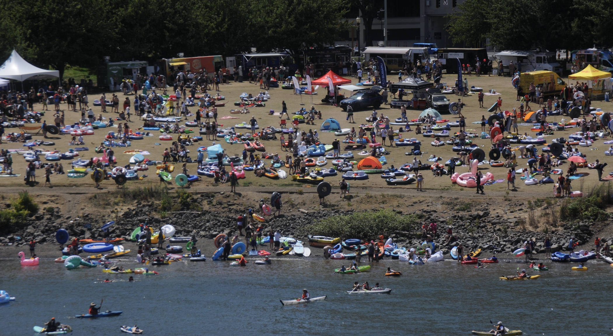
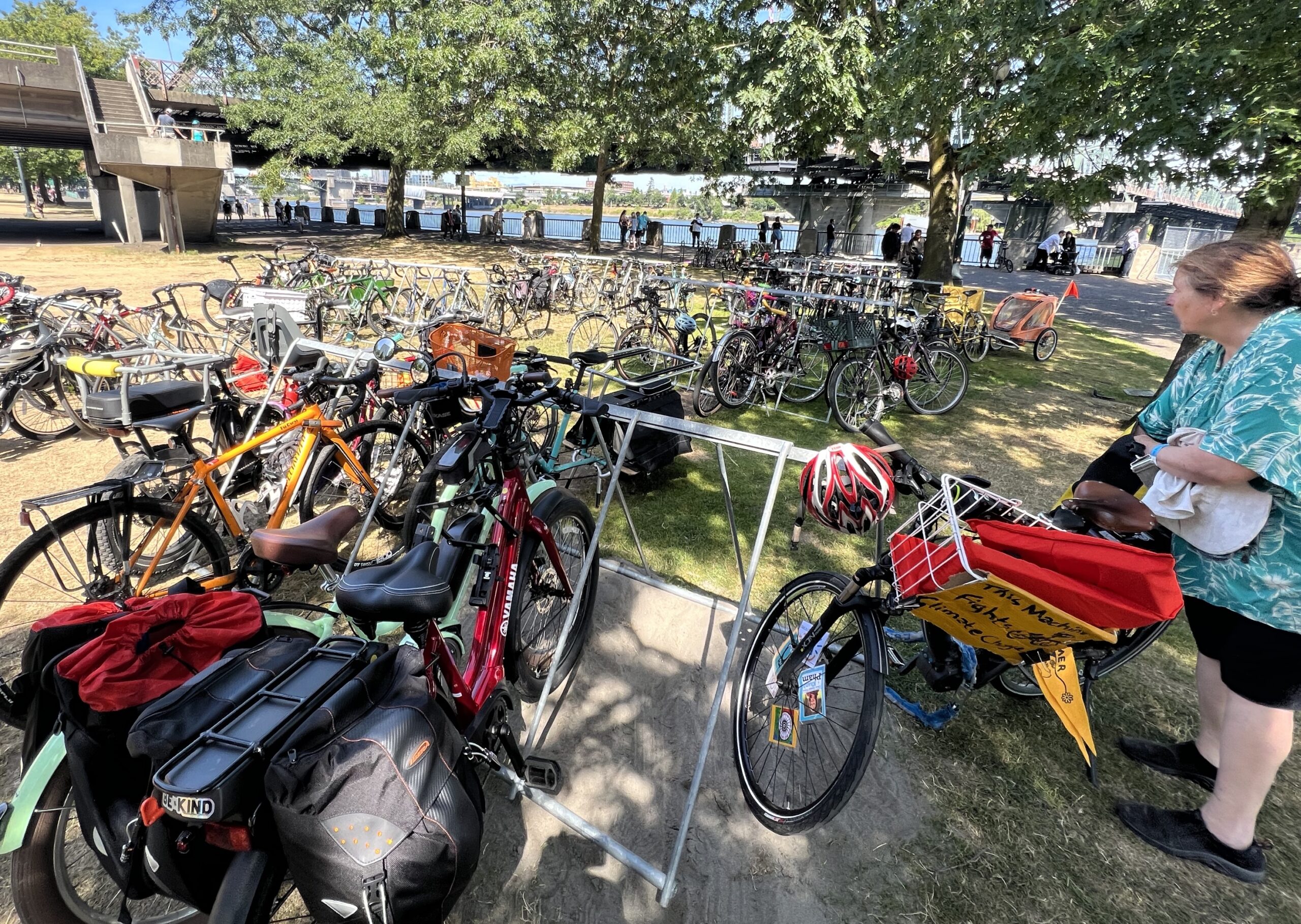
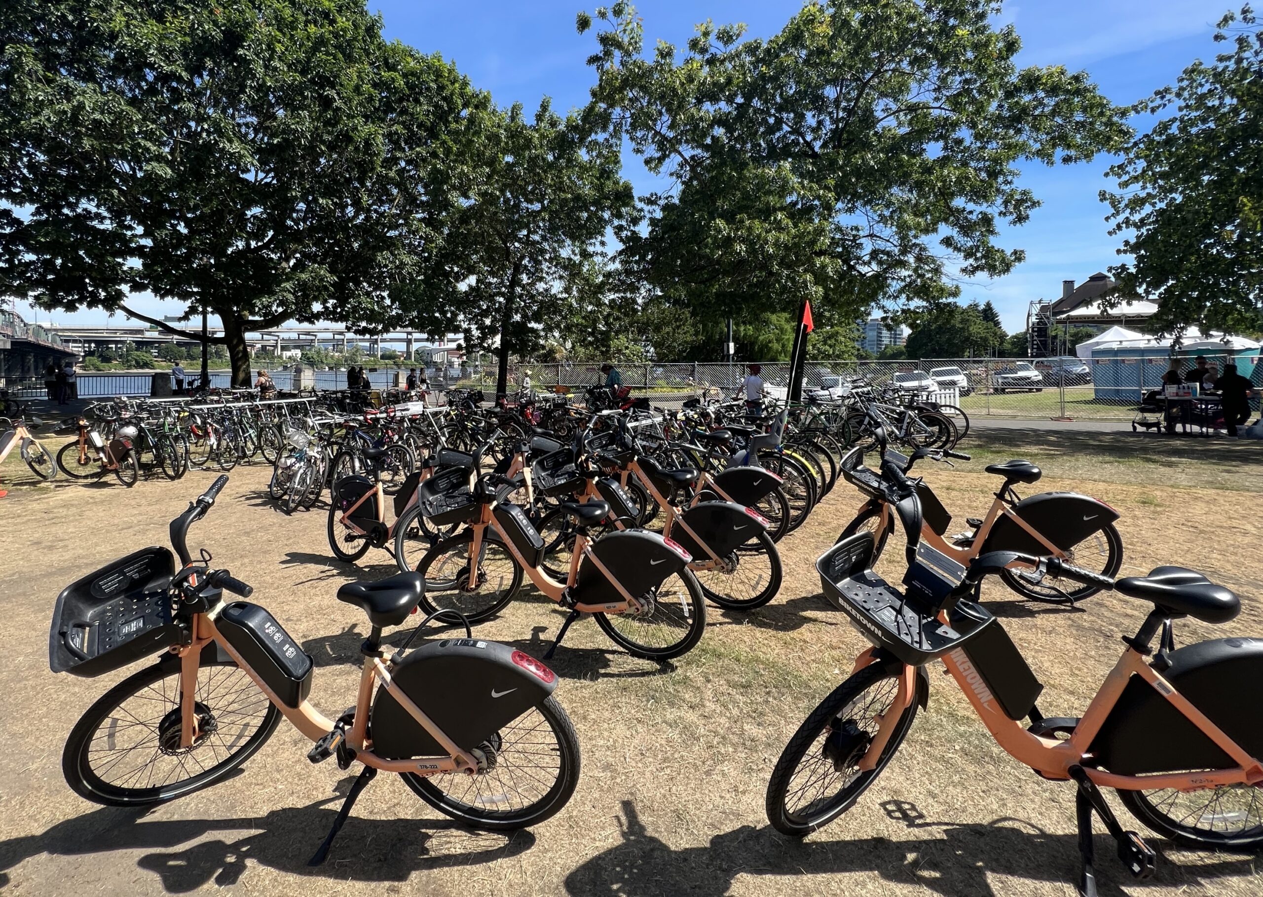
A dip in a cool river on a hot day feels so much more refreshing after a bike ride. Thanks to Portland transportation advocacy groups The Street Trust and Bike Loud PDX, those inclined to bike to the river for The Big Float could arrive in style and show fellow floaters that biking to the river is the best way to get there.

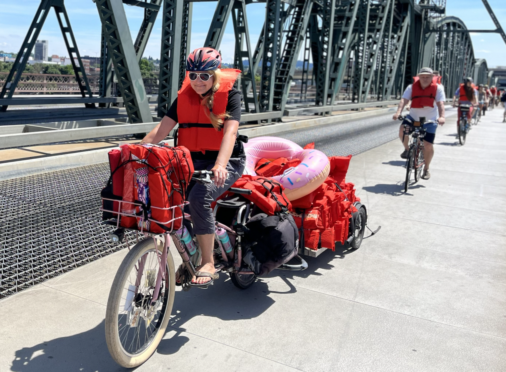
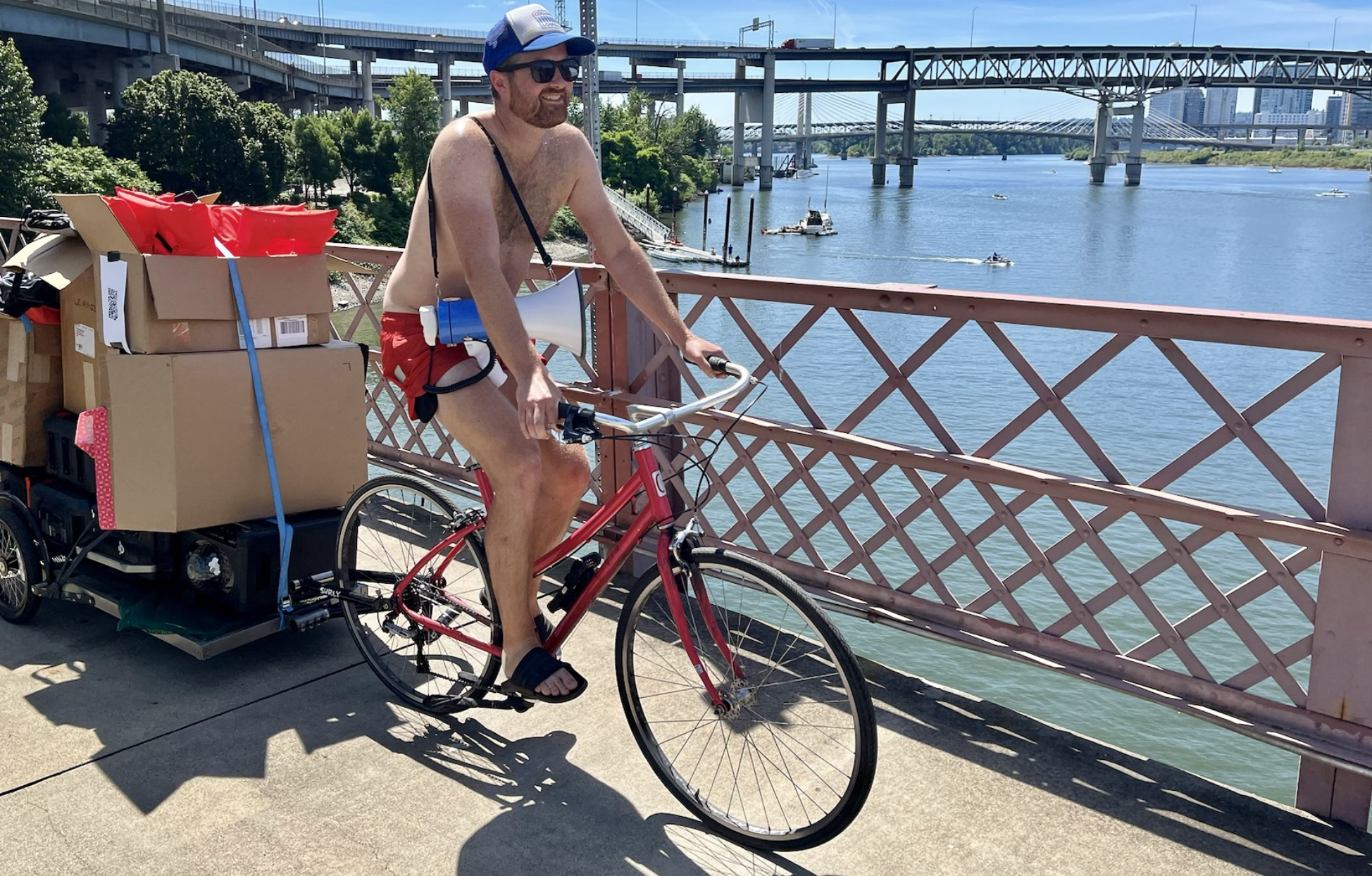
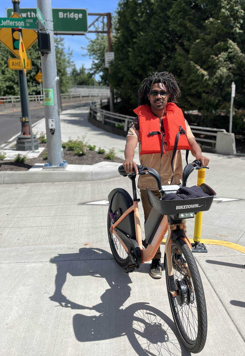
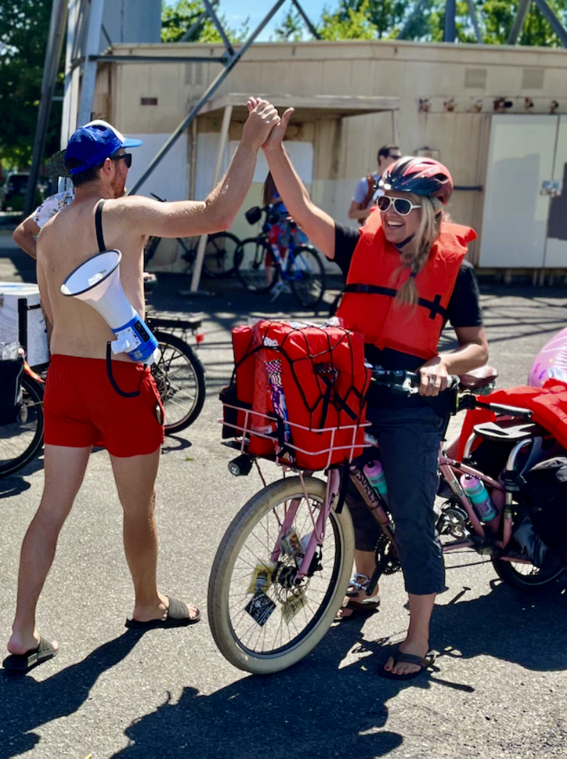
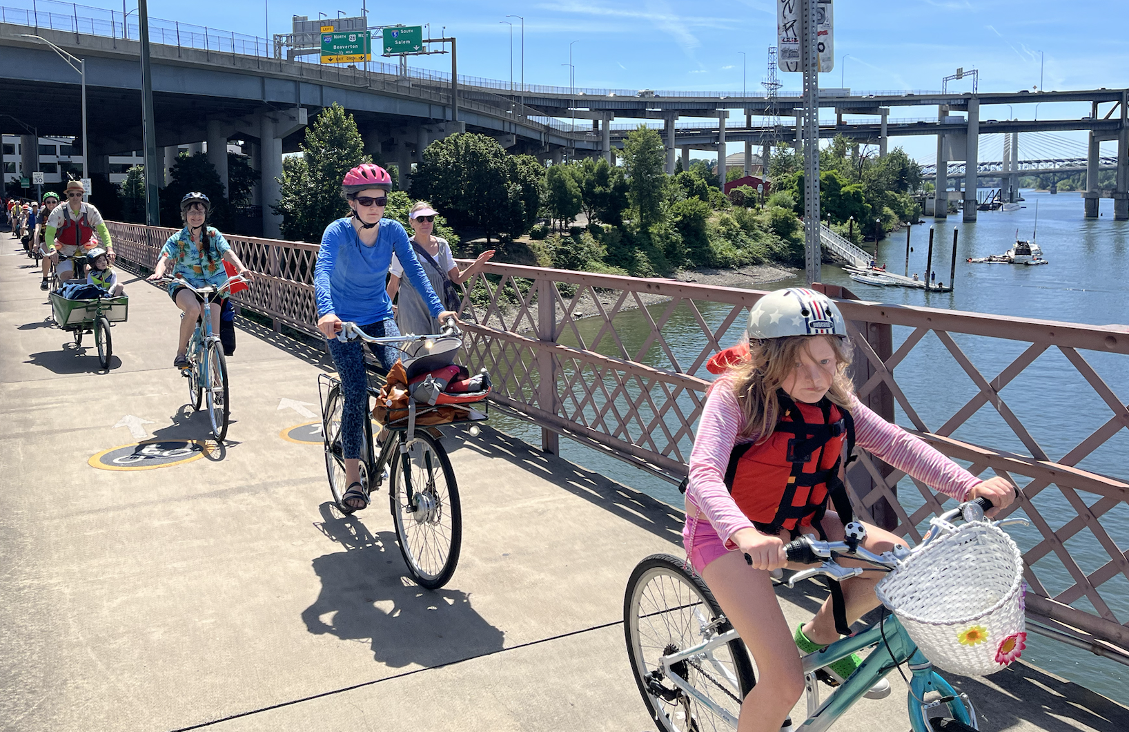
I tagged along with The Street Trust Sunday on their ride from the hot Lents Town Center to the refreshing Willamette River for the event. We rode about six miles, with The Street Trust’s Madi Carlson (who was lugging a cargo bike full of life vests) leading the way, before meeting with a group of cyclists from Bike Loud, who had their leader Kiel Johnson carrying another impressive bundle of life vests on his cargo bike. Together we created a bike parade across the Hawthorne Bridge, waving to the beachgoers below who were preparing to hop on their floats for the 10th and final Big Float.

The Street Trust chose the Lents Town Center as their meeting spot because it’s one of the places in Portland where residents suffer the most during heat events. A lack of tree canopy coverage and a wealth of asphalt turn this area into an urban heat island (read more about this here). Juxtaposed with the cold Willamette, the heat in Lents becomes even more apparent.

Advertisement

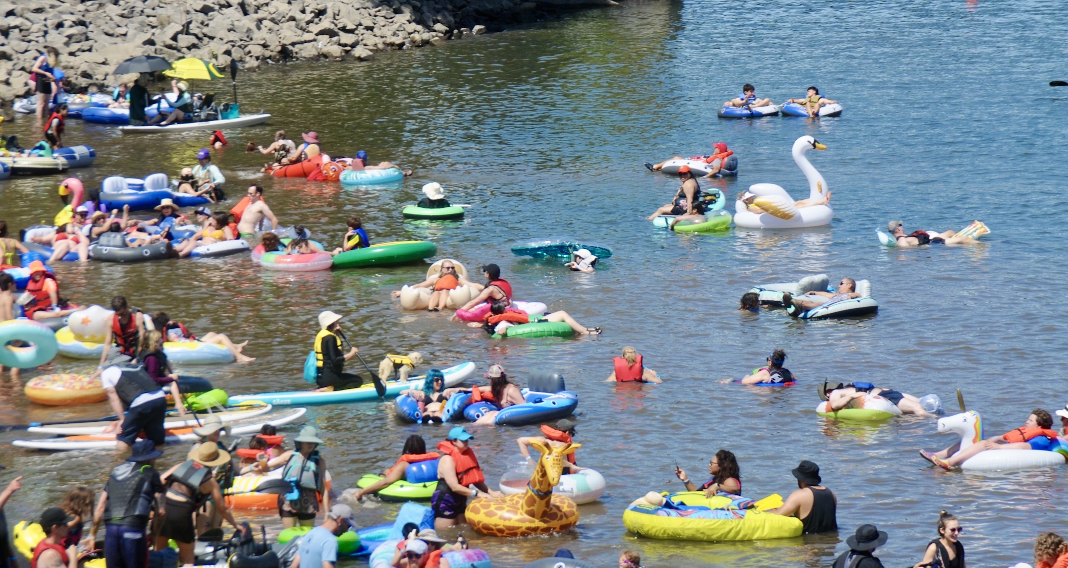
The Big Float is an event the Human Access Project (HAP) has put on annually for the last 10 years to promote their mission of making the Willamette a swimming space open to all and “helping people embrace, cherish, and preserve our river.” This was the HAP’s final Big Float, though their river advocacy will continue.

For a city with limited outdoor swimming pools, Portlanders sure have some excellent floatation devices, so see if you can find your favorite and get inspired to appreciate our beautiful river.

Yacht Rock Ride photo gallery and recap

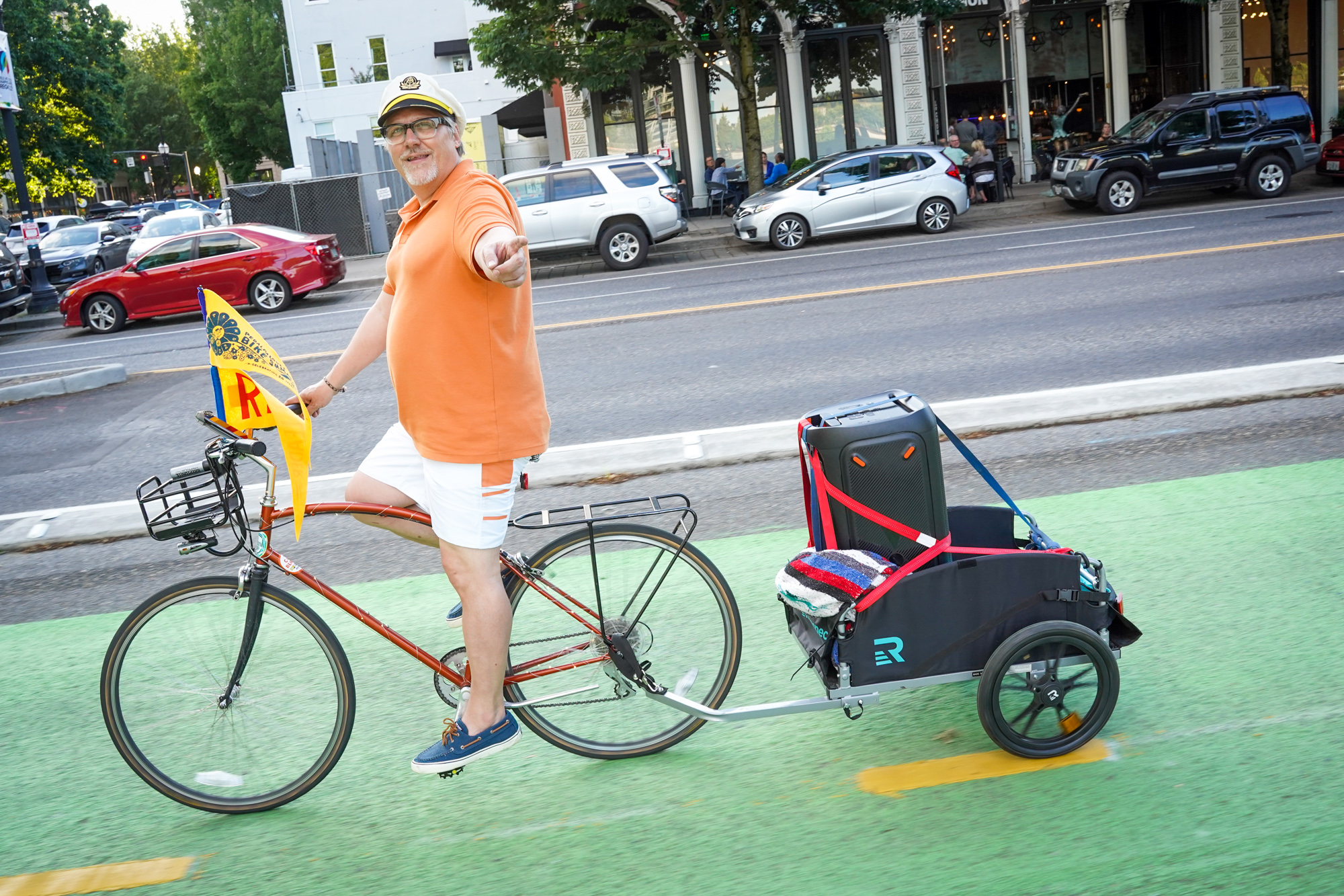
A few years ago, Portlander Keith Jones (who happens be executive director of Friends of Green Loop and operator of The Cart Blocks) was feeling nostalgic for the ’70s and “went down a Yacht Rock rabbit hole.” Next thing you know he was captain of the Yacht Rock Pedalpalooza Ride.

What is Yacht Rock? It’s a sub-genre of soft rock Wikipedia describes as having, “high-quality production, clean vocals, and a focus on light, catchy melodies.” It’s the type of music that makes you want to sing and dance while on a boat in a beautiful harbor — or ride a bike along a beautiful riverfront.

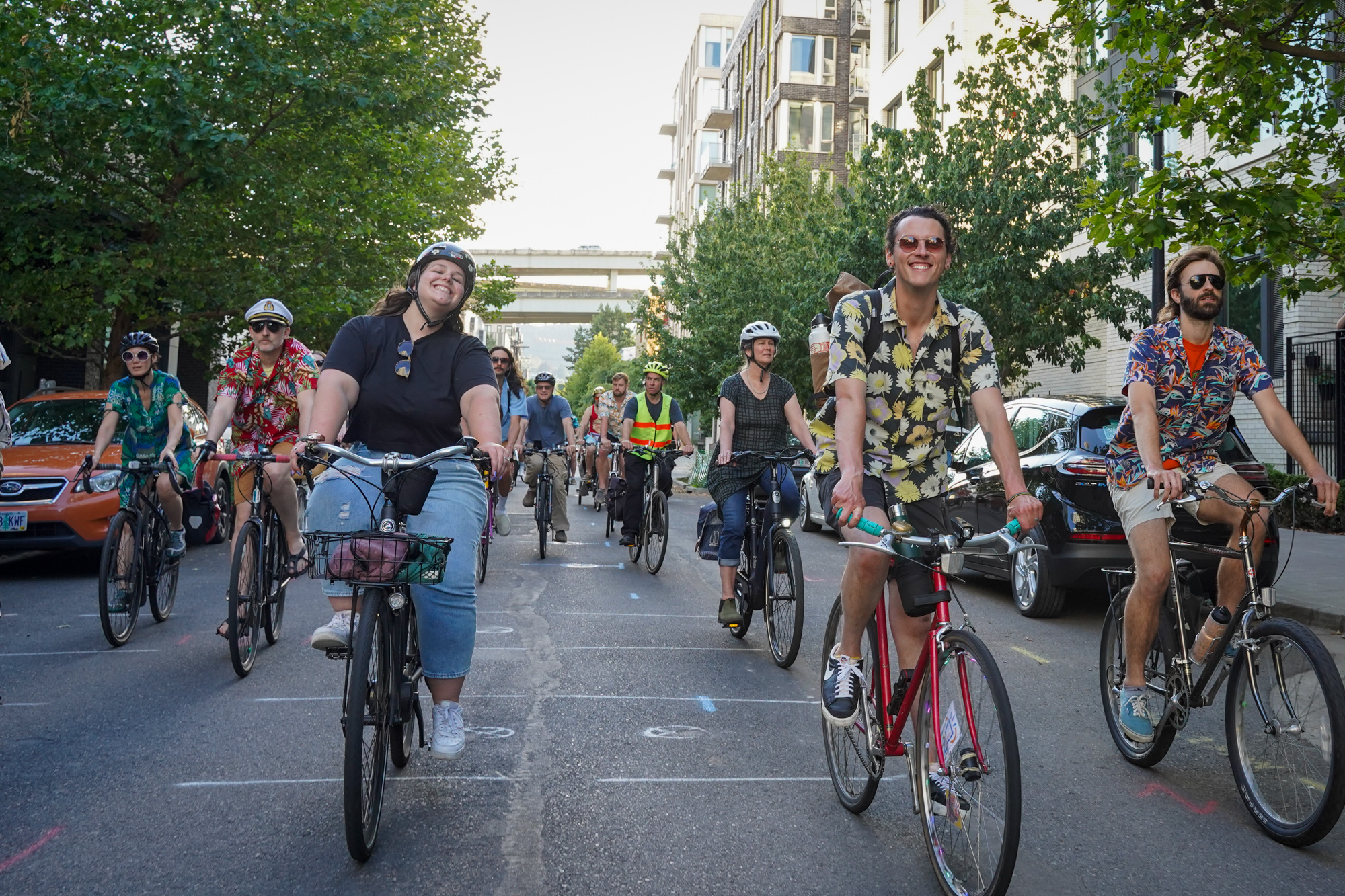
That’s what myself and many dozen others did on Friday night, with Keith and his co-captain Tonya Oyala leading the way.

A few years ago the two friends were making a playlist and realized they were both obsessed with the music of Yacht Rock icon Christopher Cross. “We spent an afternoon listening to that playlist and she was like, ‘This is fantastic! I want play this loud enough for everyone to hear it!’ We’re both bike people and we started talking about a Pedalpalooza ride,” Keith said.

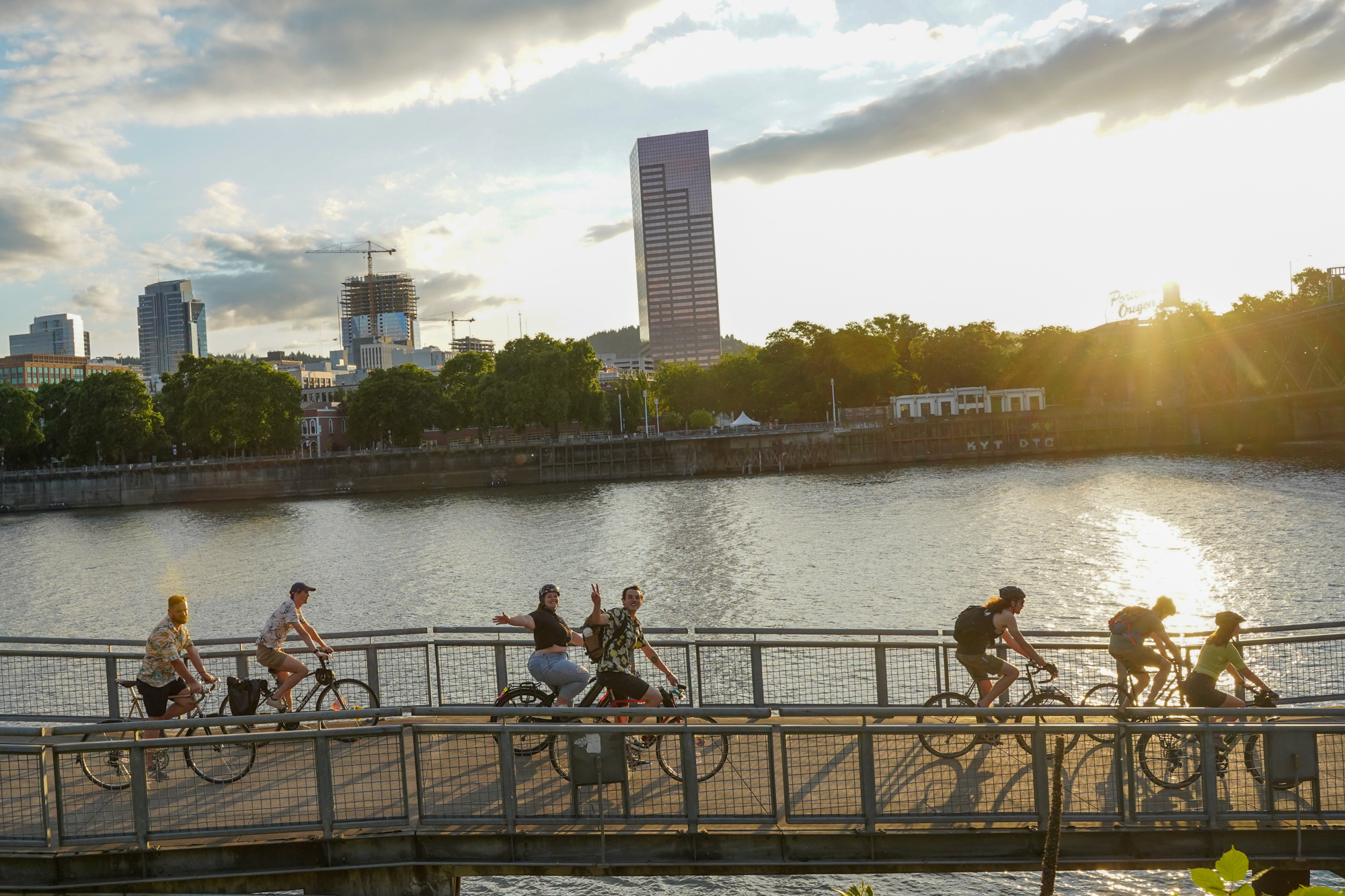
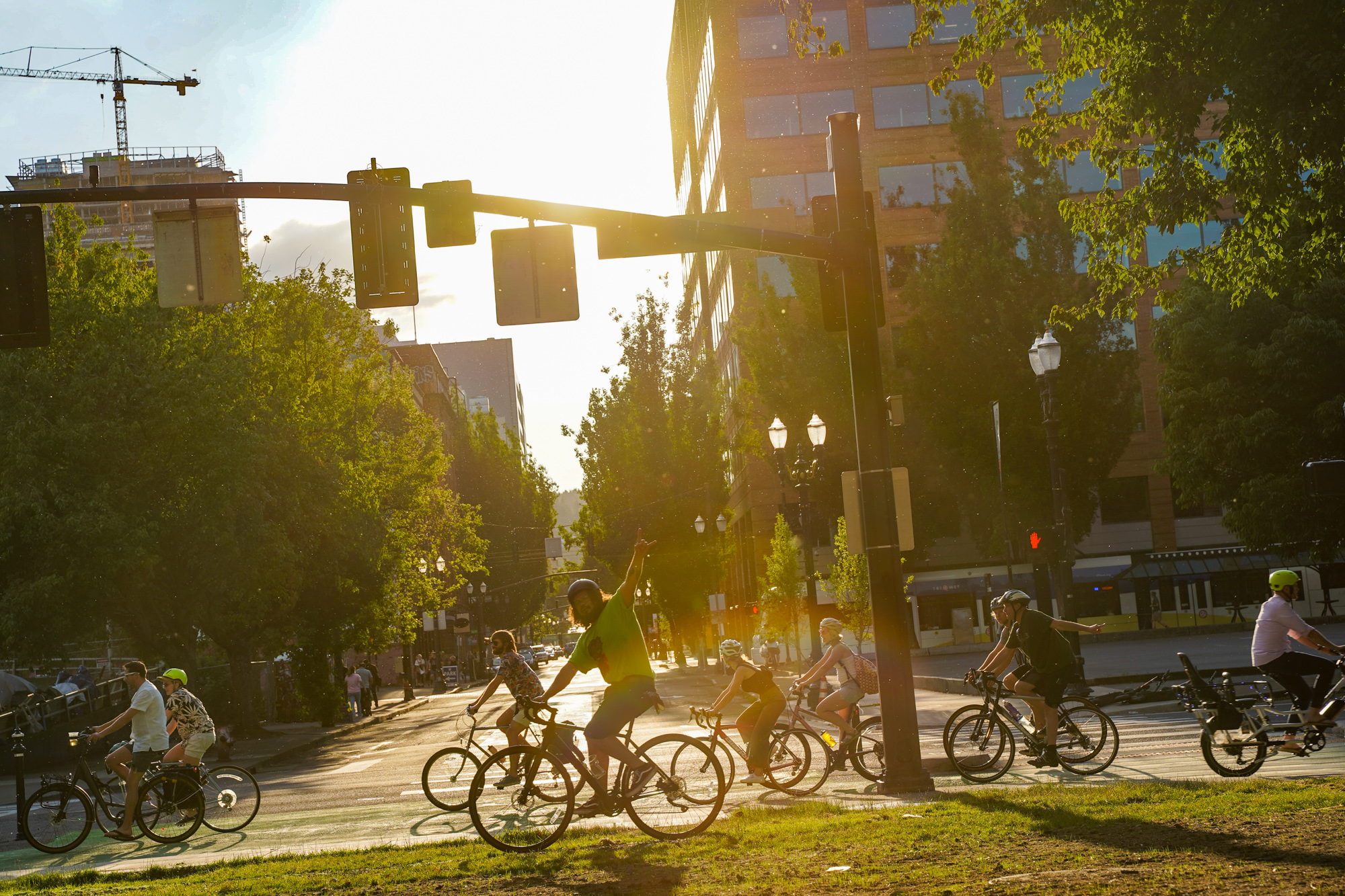
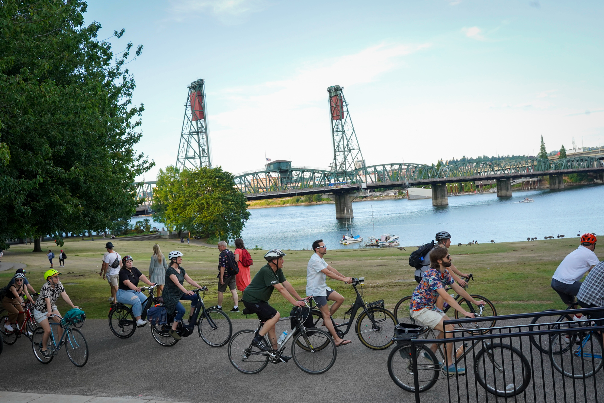
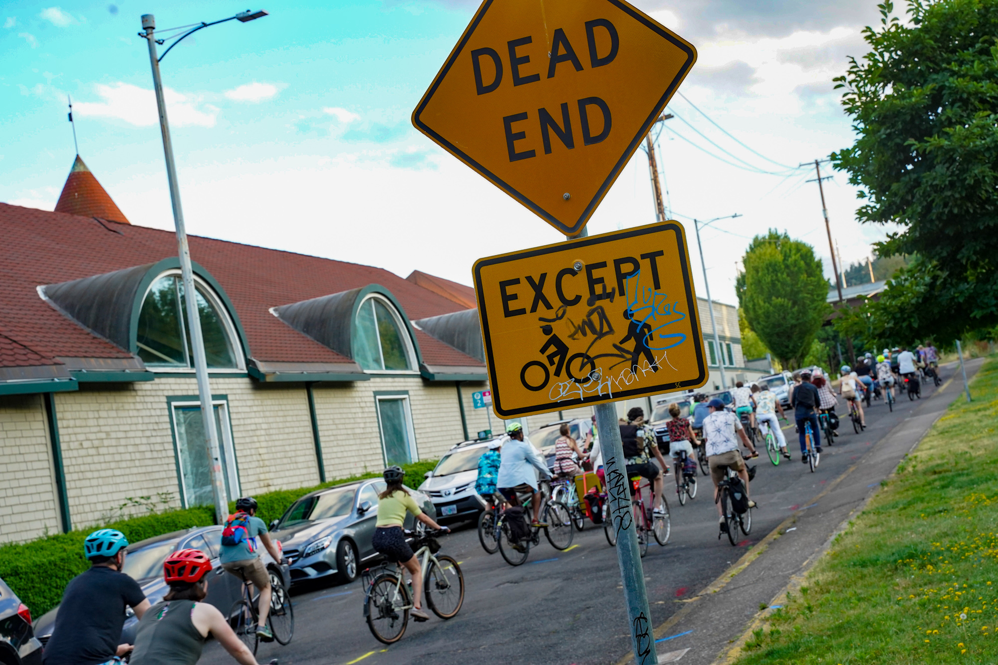
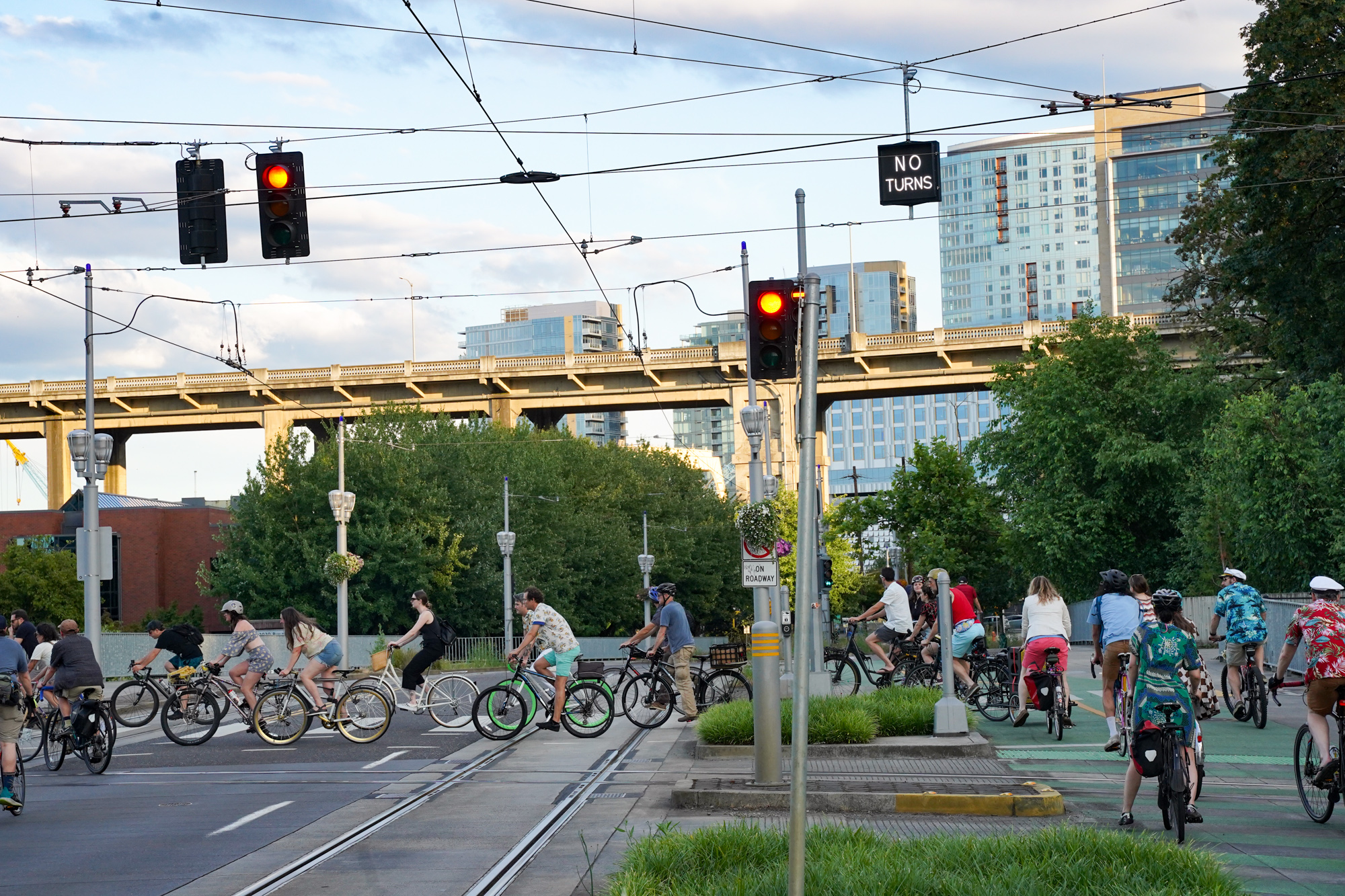
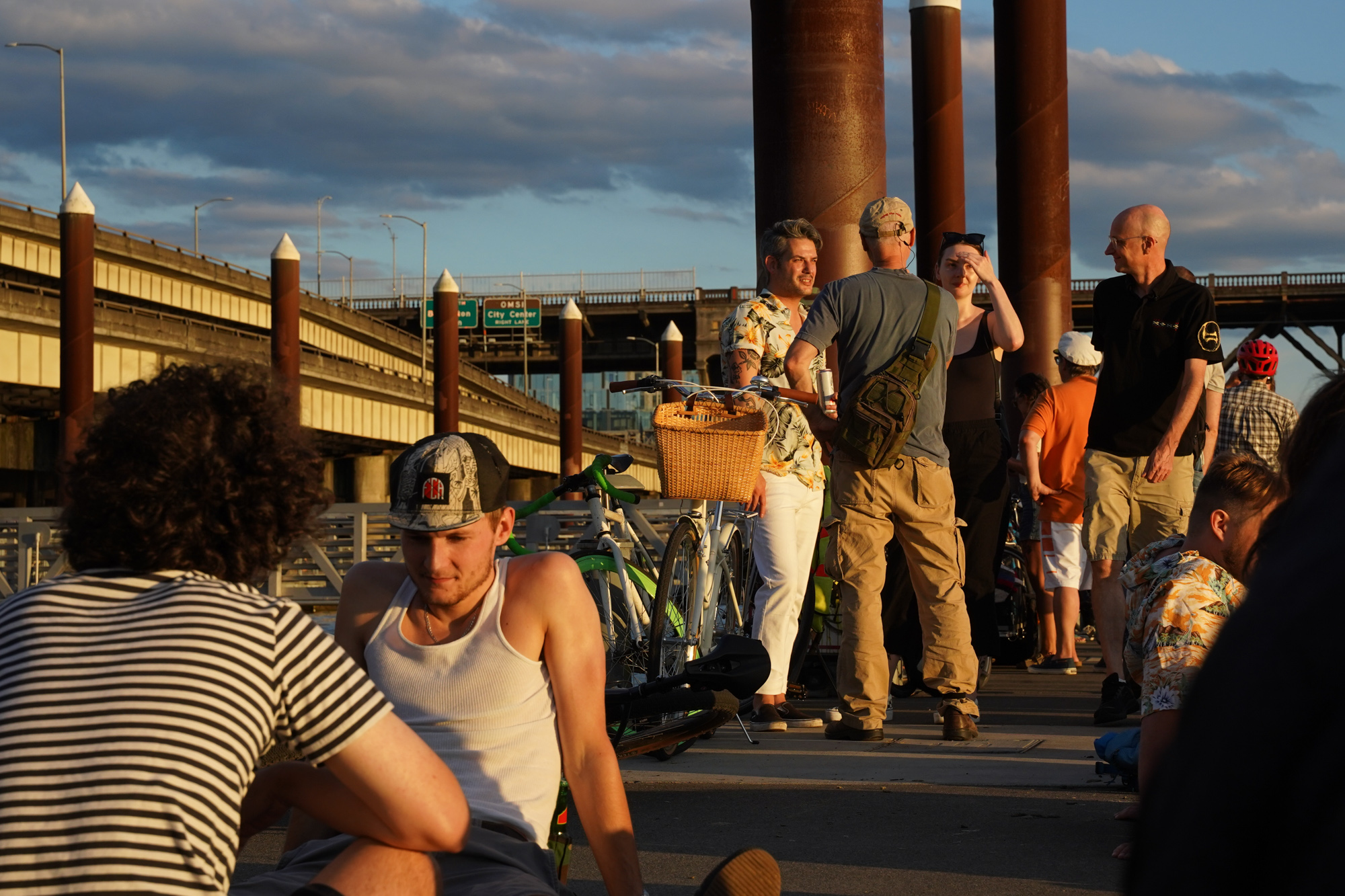
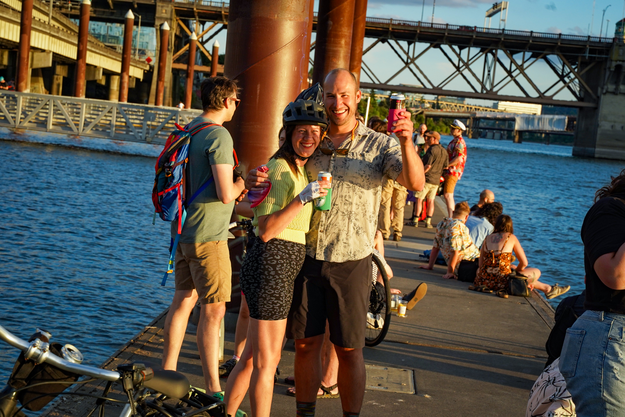
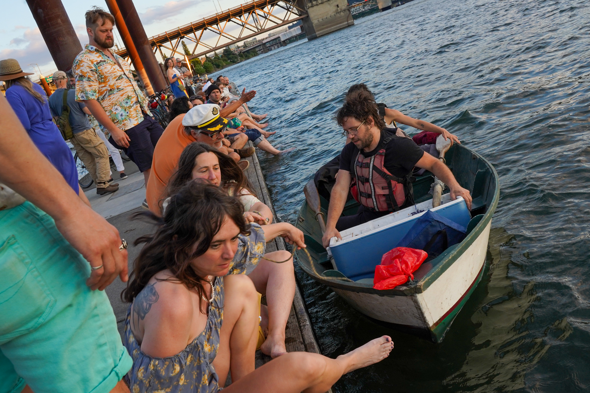
With “Do That To Me One More Time” blaring from mobile speakers as we rolled en masse through downtown, onlookers ran out of bars to clap, smile and film us. After a loop through the Pearl District and then down to the Tilikum Crossing, the ride ended on Duckworth Dock where we watched the sunset and enjoyed fizzy drinks as we dipped our toes in the river and enjoyed the company of great tunes and great people.

Check out the official playlist and the full photo gallery below…

Check our Pedalpalooza 2022 Hub for more coverage.

Comment of the Week: A southwest resident’s lament

“Southwest is the DIY part of Portland… there’s almost no bus service and no cycling or walking infrastructure.”

Welcome to the Comment of the Week, where we highlight good comments in order to inspire more of them. You can help us choose our next one by replying with “comment of the week” to any comment you think deserves recognition.


Comment of the Week

Sometimes I wish I could pick an entire comment thread for the Comment of the Week. Our article last week about the hapless BikePortland reader who followed an Apple Maps walking route onto a busy and unwalkable southwest collector street inspired some very fine comments. Maybe the archetypal Babe in the Woods narrative brought out the best in people.

I focused on warning about map apps, and plugging the SW Trails PDX organization, but many southwest readers might have been feeling something more visceral. Fred, in a comment which has a “just chatting with a neighbor over the fence” quality, captures these feelings.

Here’s what Fred wrote:

Advertisement

Thanks, Lisa, for pointing out the paucity of walking and cycling infrastructure in Southwest. Every time I hear people from East Portland complaining about their lack of … everything, I have to laugh. Southwest is the DIY part of Portland: maintain your own streets and get yourself places b/c there’s almost no bus service and no cycling or walking infrastructure. No wonder almost everyone drives everywhere and just a few intrepid souls walk and cycle.

Thank you Fred! You can read Fred’s Comment, and the other excellent comments too, under the original article.

Pedalpalooza Picks: July 11 ~ 15

A ride Friday will salute valiant corkers like this fellow. (Photo: Jonathan Maus/BikePortland)

Summer has arrived for real and the Pedalpalooza vibes have never been stronger. If you’re having trouble deciding which rides to do, or just need a nudge to get out there, keep reading.

To help guide you through the fun options, every Monday we choose one ride from each day that looks interesting and worthy of your attention. As always, check out our upcoming Weekend Event Guide and Calendar for more of our ride selections (remember you can filter our calendar to only show the Pedalpalooza category).

Here are our selections for today through Friday:

Monday, July 11th

Old Library Branches Ride – 5:30 at TBA (register for location)
Learn interesting Portland history on a tour of old library locations. This ride will be led by local urban historian and long-time bike fun purveyor (and artist) Shawn Granton. More info here.

Advertisement

Tuesday, July 12th

Taco Ride – 5:00 pm at Peninsula Park (N)
Who’s hungry? Let ride leader and north Portland resident Aaron Brown lead you on a taco tasting tour unlike any other… along with a hardy crowd of fun people. This ride has become an annual tradition and it’s way less chaotic than you might assume because Aaron has forewarned all the taco places that you’ll be coming. More info here.

Wednesday, July 13th

Know Your Greenways – 6:15 at Glenhaven Park (NE)
We’ve heard great reviews for this series of rides led by Tom Howe. He is a route expert who will teach you how to connect up the 70s and 80s greenways to your favorite destinations. These greenways are so helpful to avoiding large arterials and when are more confident using them you’ll unlock the potential of our bike-friendly city. More info here.

Thursday, July 14th

The Simpsons Ride – 3:00 pm at Lincoln High (SW)
Learn how this iconic TV show was inspired by Portland and join fellow fans on a romp through all the streets that characters were named after. More info here.

Friday, July 15th

Corker Appreciation Ride – 6:30 pm at Ladd Circle Park (SE)
If you’ve been on a Portland group ride, you’ve been helped by corkers, those valiant velocipedists who More info here.


As always, check the official calendar for details on every single ride. And be sure to check official event pages for latest updates and cancellations before you roll out. Have fun out there!