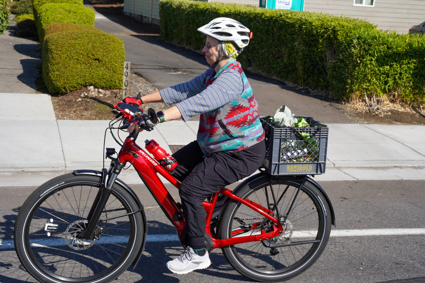
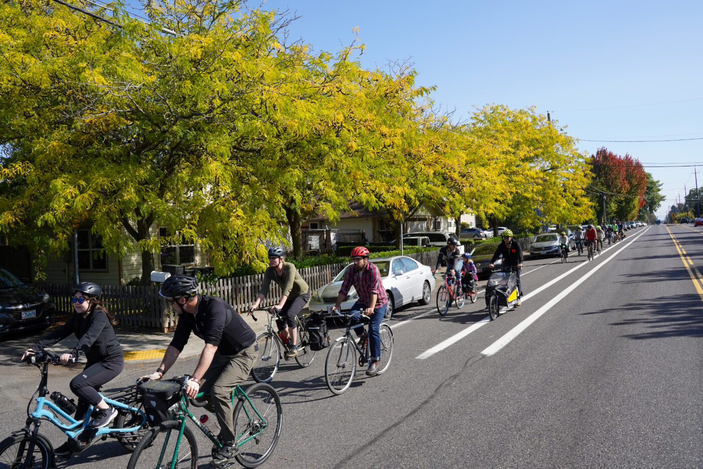
Some of Portland’s brightest biking minds came together under perfect sunny skies Saturday. Their mission was two-fold: get to know one another better after years of Zoom meetings, and learn what it feels like to ride in the Cully neighborhood.
The Portland Bureau of Transportation’s Bicycle Advisory Committee (BAC) plays an important role in how bike projects are envisioned and implemented. PBOT and other transportation agencies throughout the region bring plans to the committee monthly for input, and the group has become an important sounding board for debates and discussions about how to make bicycling better in Portland. The committee’s PBOT liaison, City Bike Coordinator Roger Geller, has led these rides for many years with a goal of fostering stronger relationships among members and getting real-life, first-hand experience with our bike network.
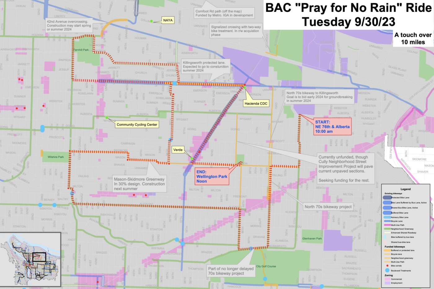
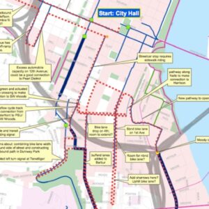
Saturday’s ride was about nine miles (see map at right). It rolled by several key locations where bike projects have been implemented recently or are planned in the near future with stops along the way for short conversations.
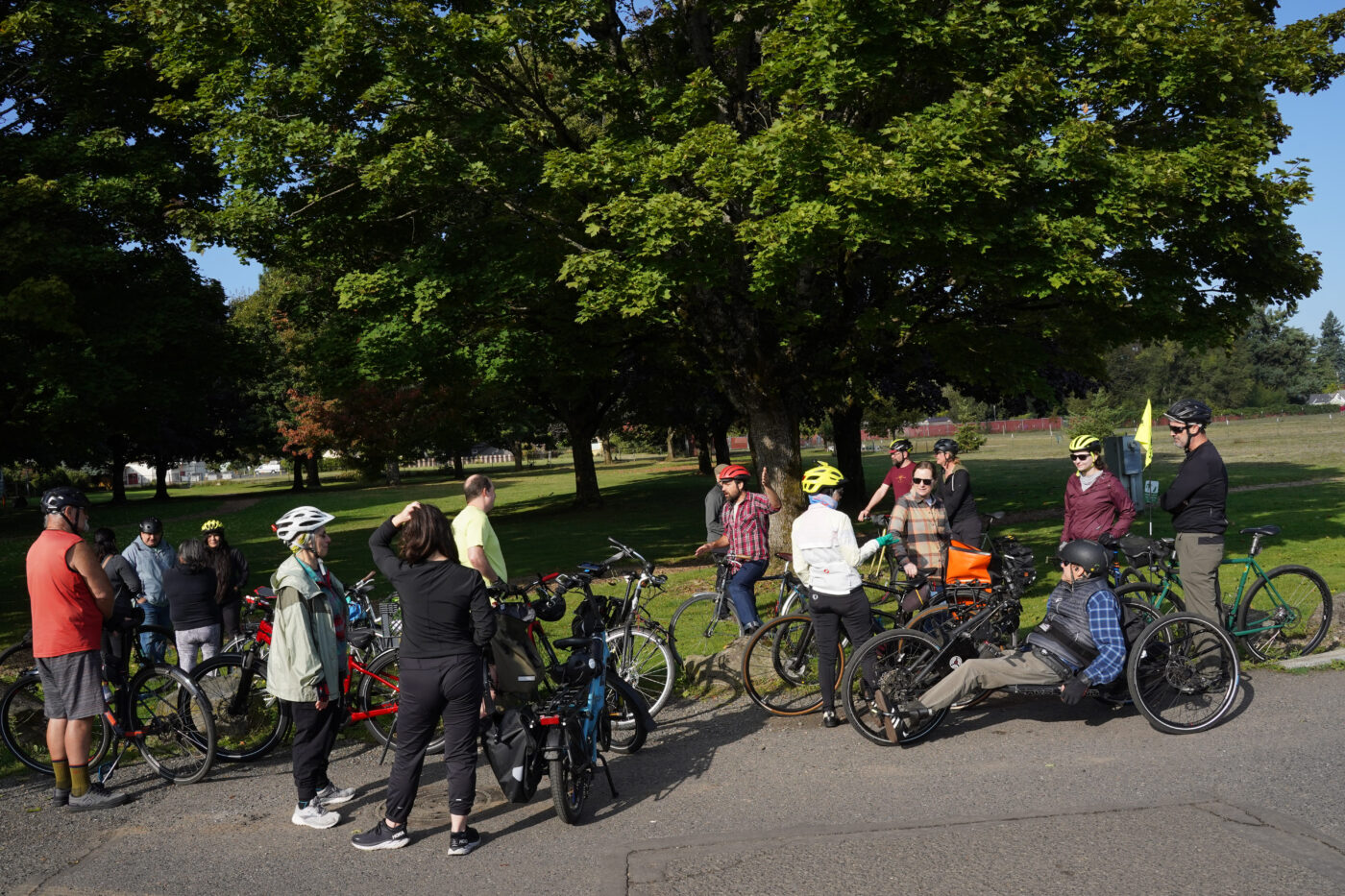
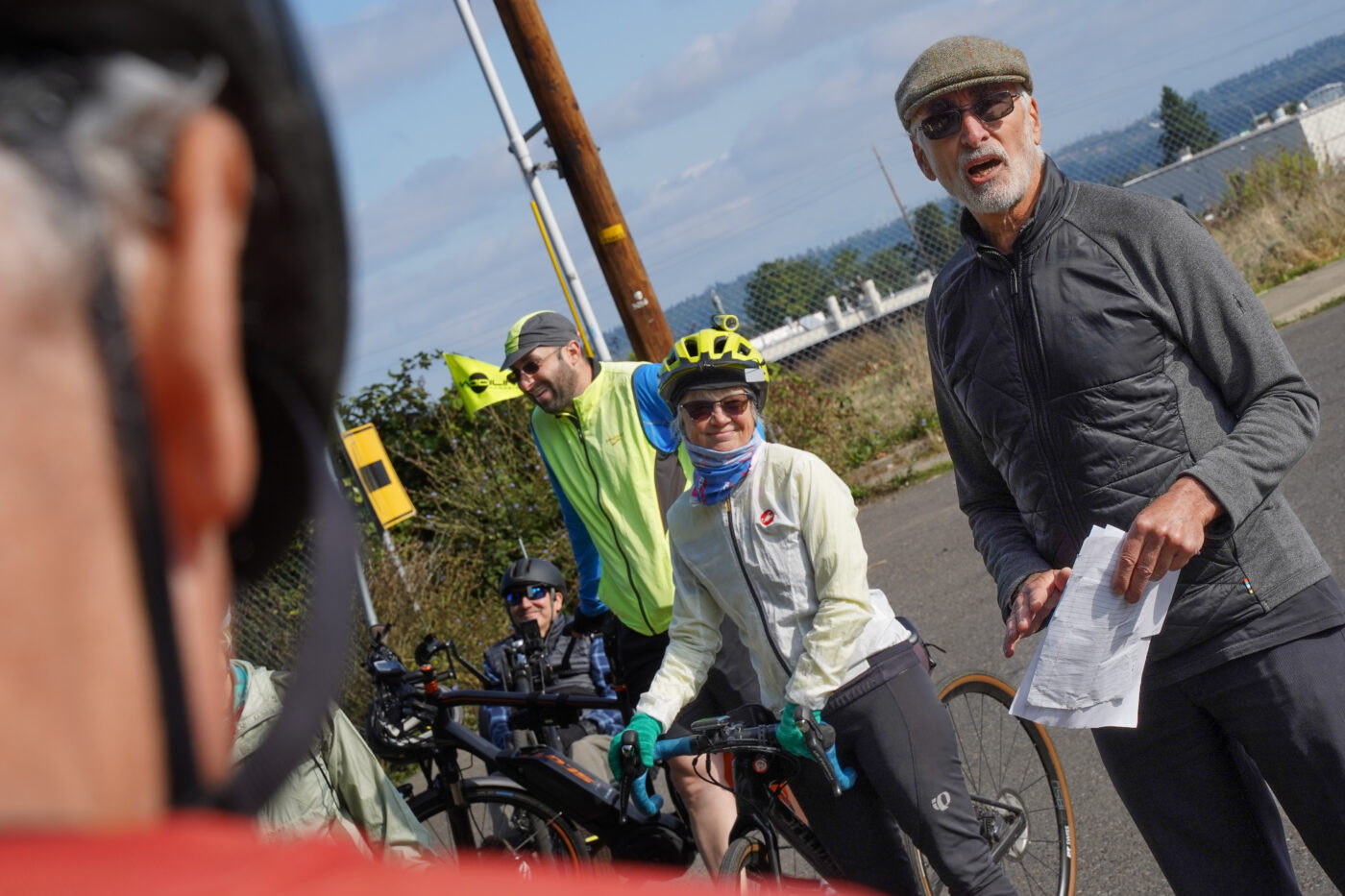
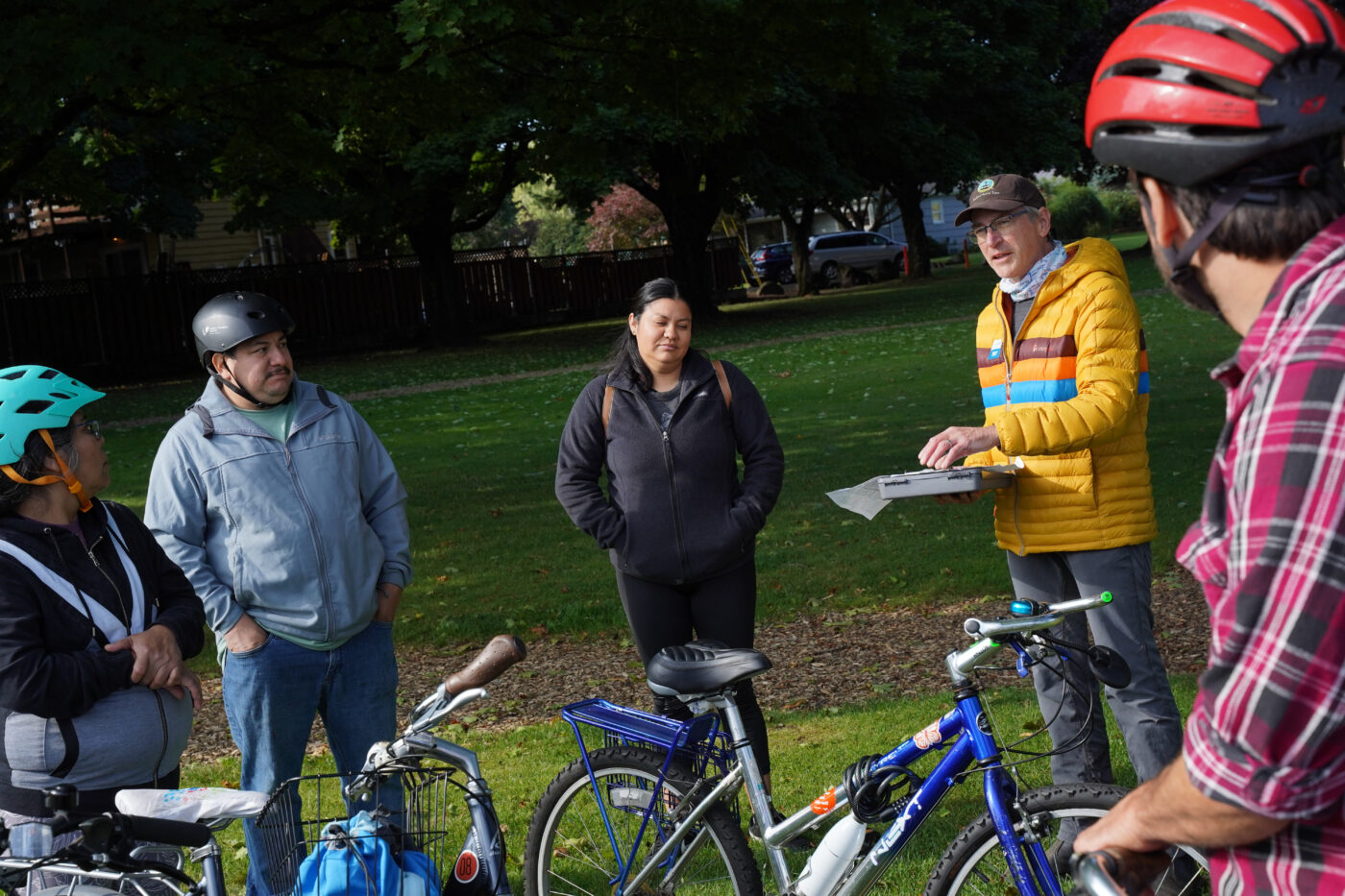
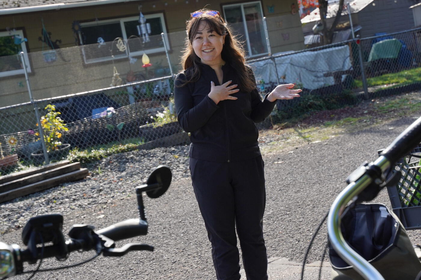
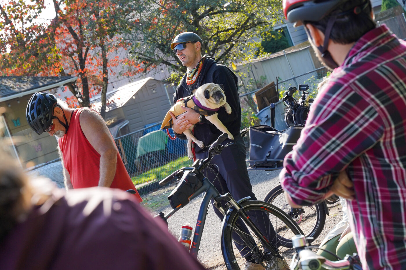
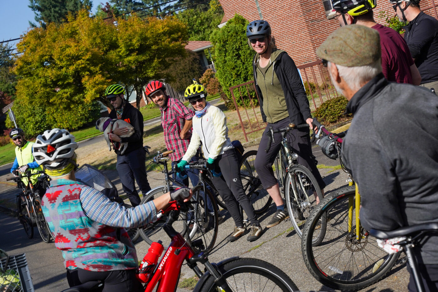
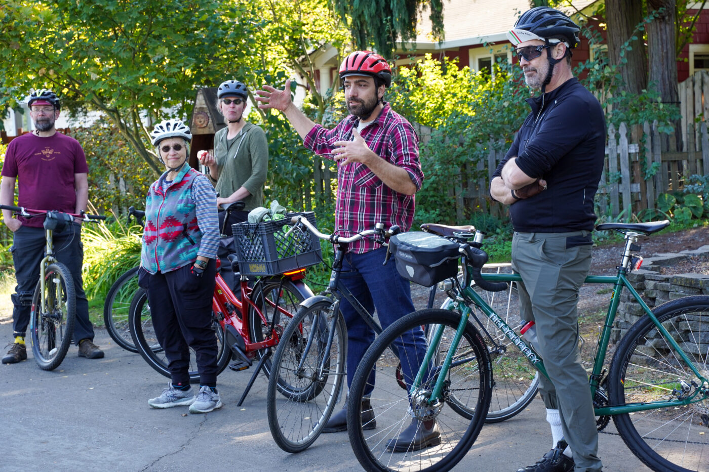
The group met at Sacajawea Park (NE 76th and Alberta) where they heard brief remarks from Indi Namkoong who works on transportation policy (funding, mostly) for Cully-based nonprofit Verde. Namkoong shared that, despite recent progress, just about 30% of Cully streets have sidewalks. She also said as street improvements come to the area, displacement is a big concern. “Poor people also deserve nice things,” she said, as she explained Verde’s efforts to keep people in the neighborhood.
The ride also welcome several folks who represented Cully’s own bike/walk advocacy group, Andando en Bicicletas y Caminando (ABC, which translates to “riding your bike and walking around”). They were joined by a translator from PBOT and were eager to know when key projects would be built — especially a new signal and crossing of NE Columbia at Cully and Alderwood (northwest of Cully Park). Geller said a project to build a new signal and two-way bike crossing is funded and PBOT is in the process of acquiring right-of-way.
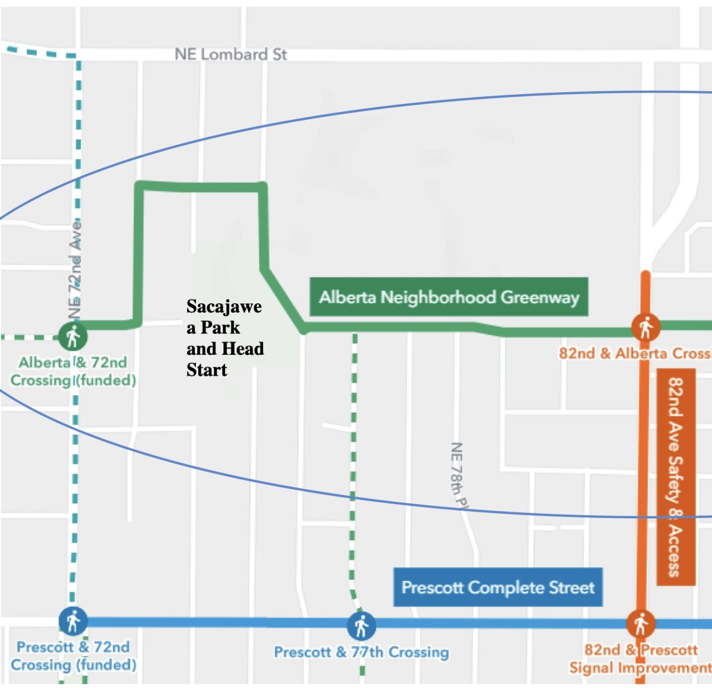
Sacajawea Park was a good place to start because it gave folks a chance to talk about a big problem with the Alberta St. neighborhood greenway (the eastern extension of the Going St greenway). Currently the park creates a gap in the route because there’s no paved path through it. A locked gate at the end of a gravel block on the west side could be opened, but folks at the ride said a woman who lives there doesn’t want bike riders on the street. The only other option is through a nearby school; but if the school gate is closed, riders have go several blocks south to Prescott to reconnect to Alberta. Portland Parks and PBOT need to figure something out here.
Right now the hope is that PBOT wins a big federal grant focused on nearby 82nd Avenue they’ve recently applied for. That grant would fund a continuation of the greenway through new streets being built as part of a future private development. That will be helpful, but would still require a detour around the park. It seems like PBOT and Parks should work together and simply pave a more direct path through the park.
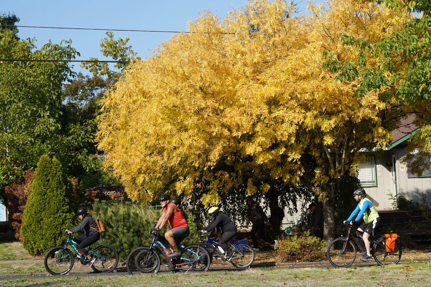
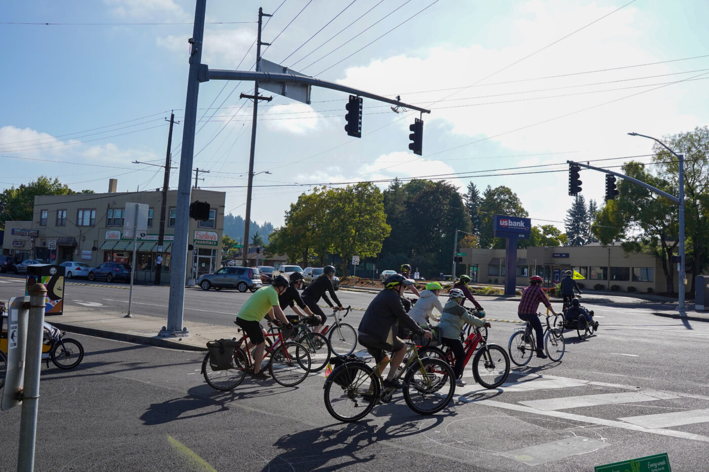
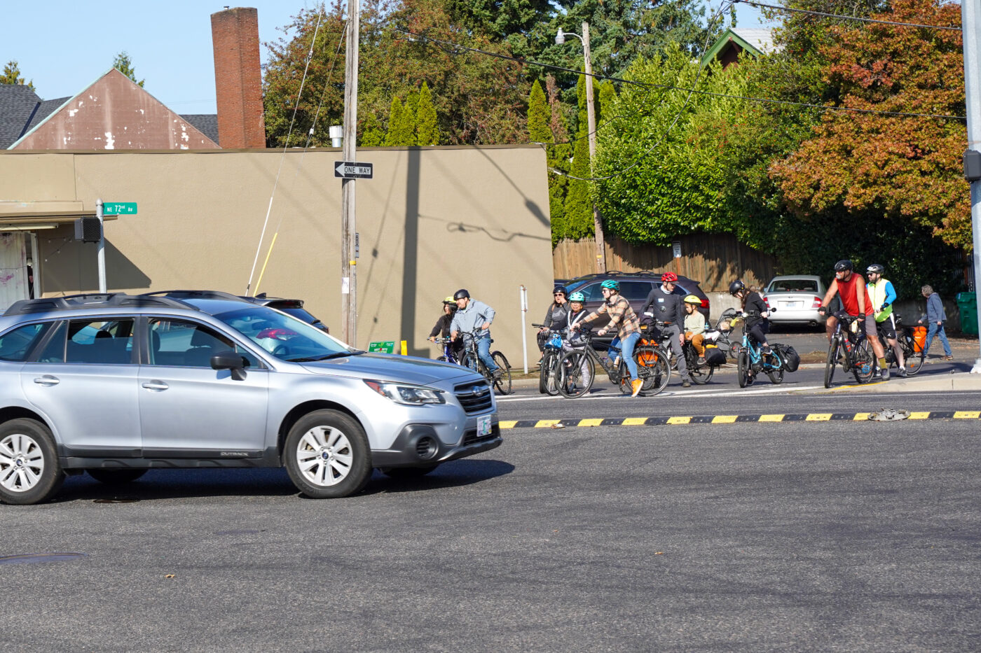
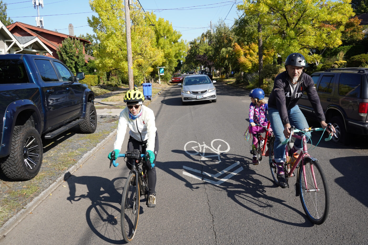
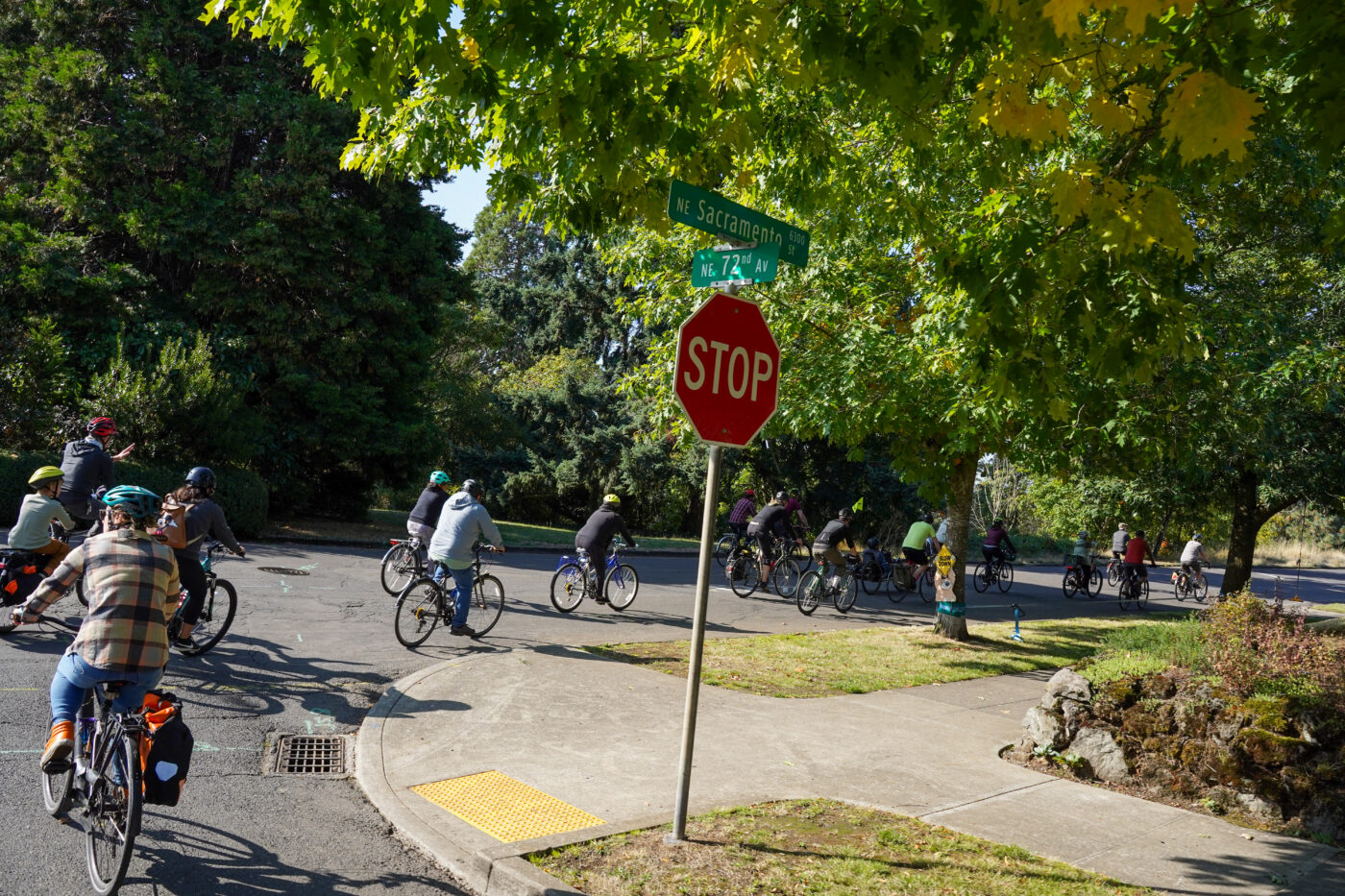
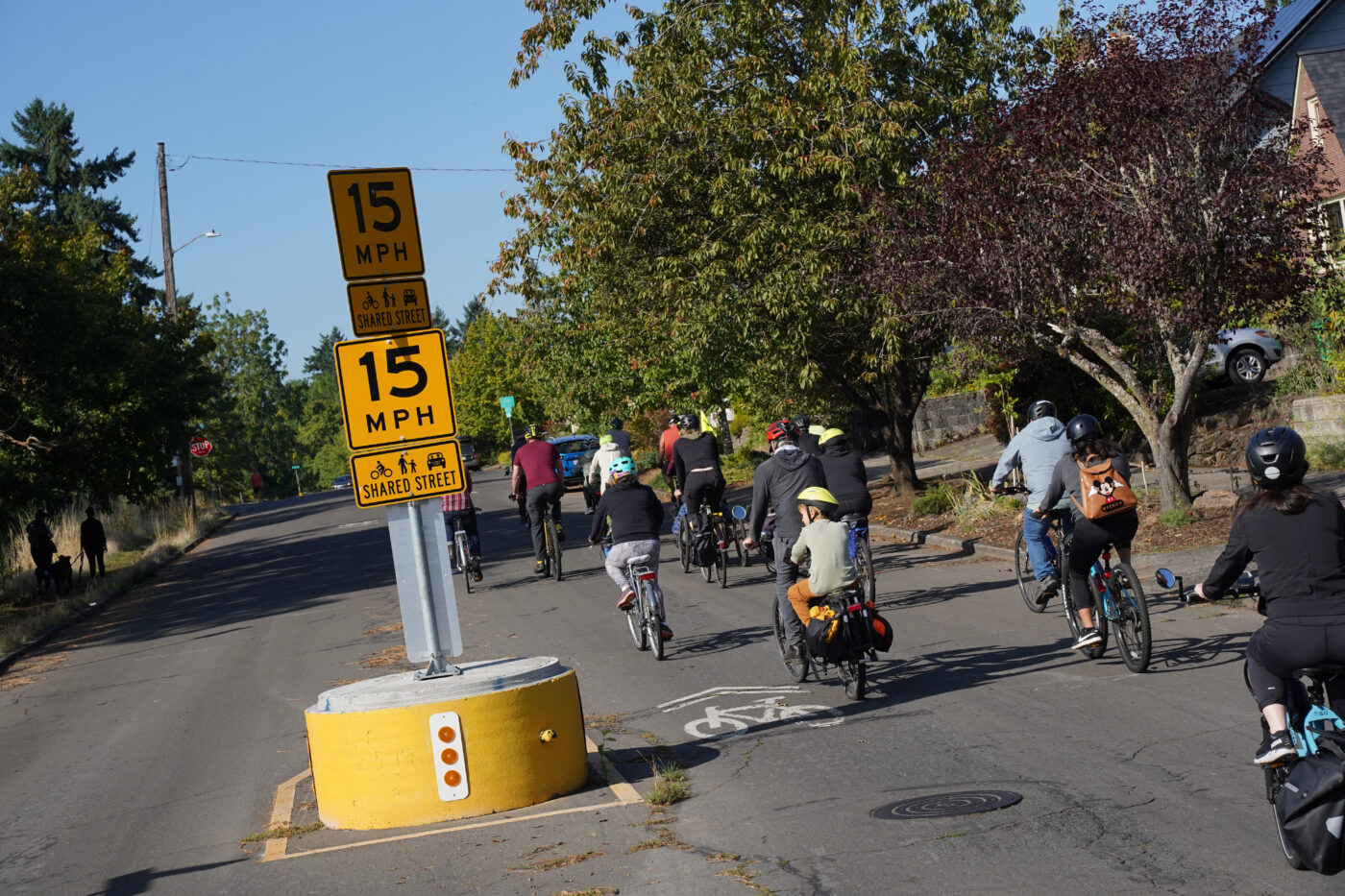
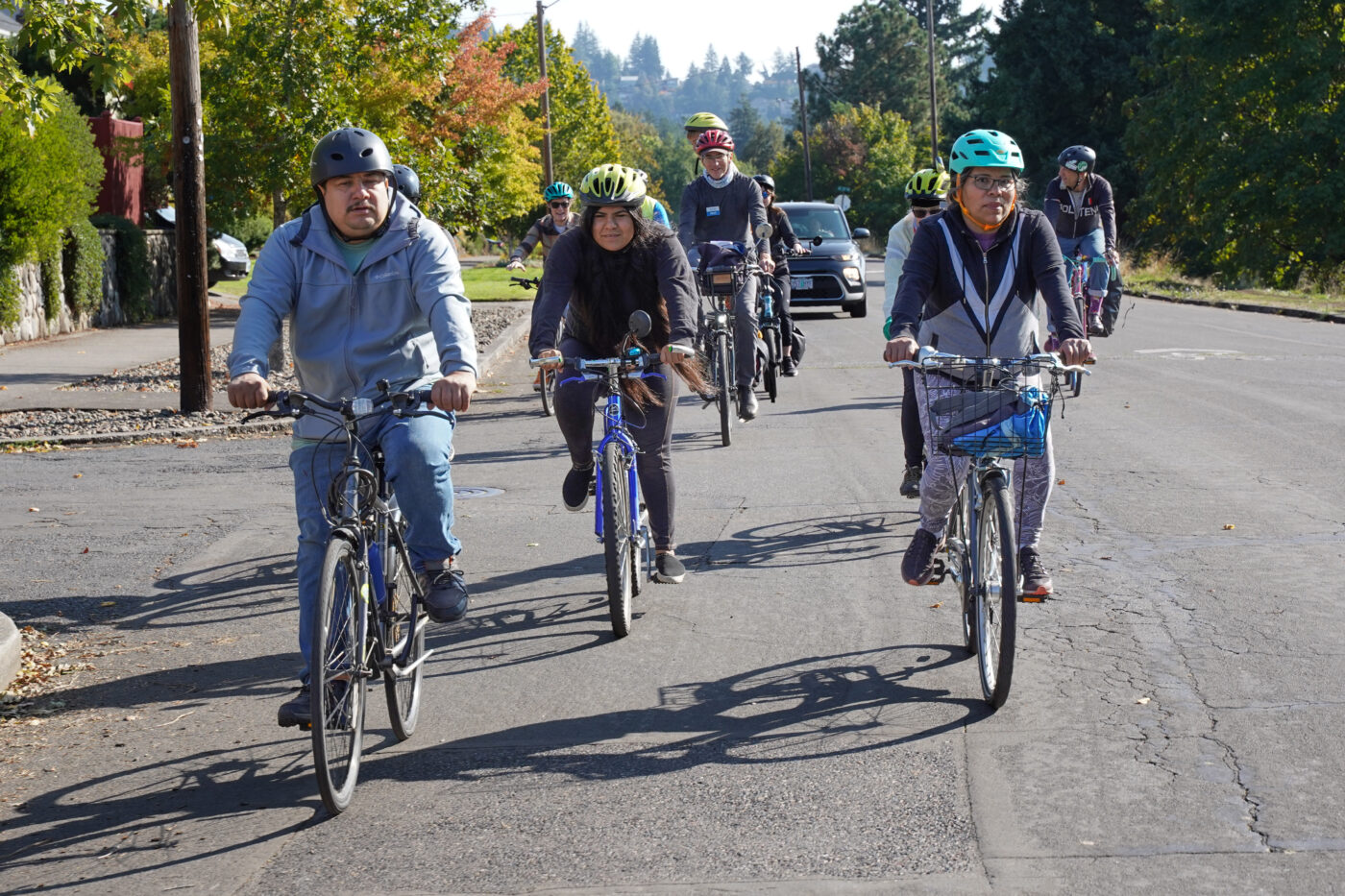
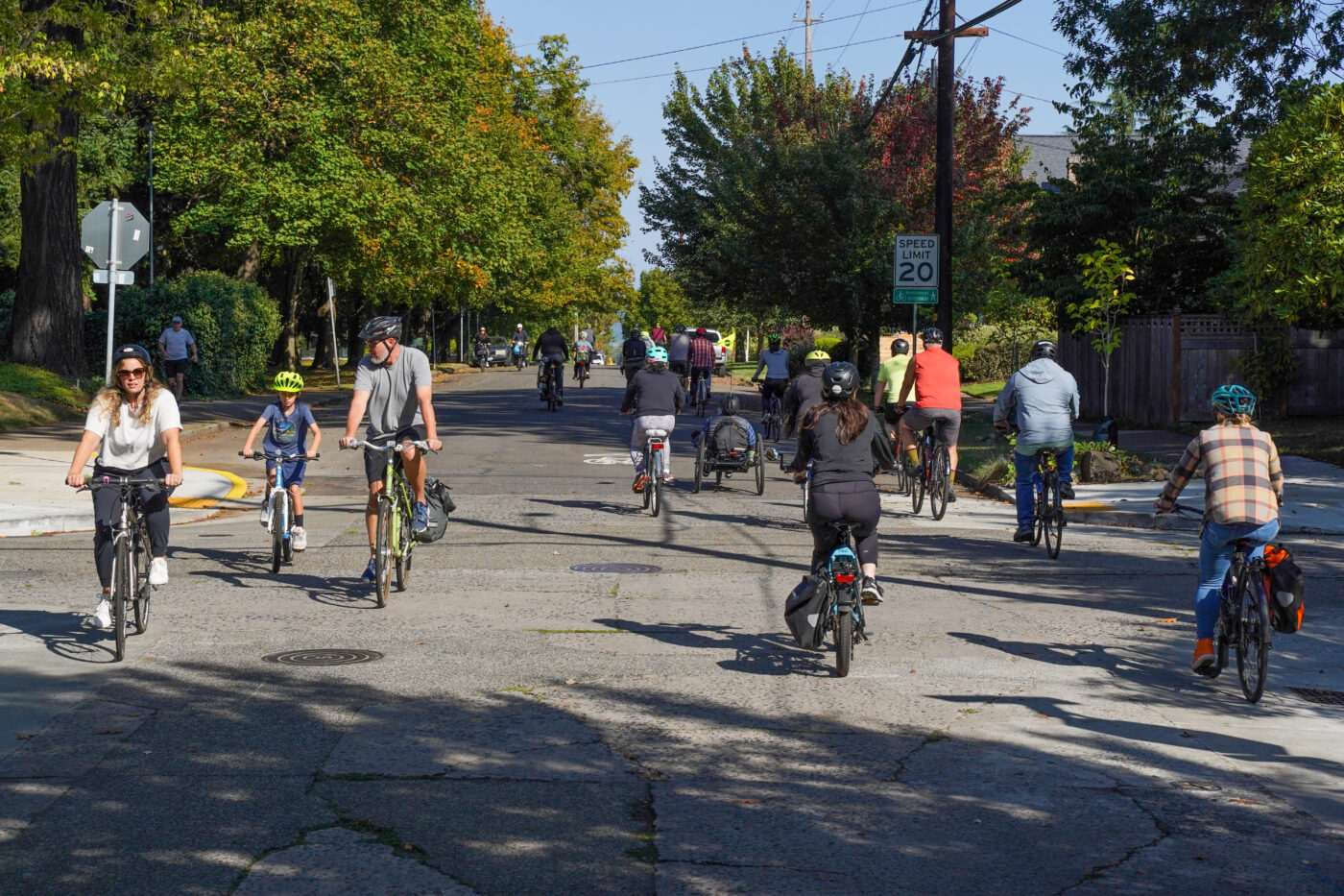
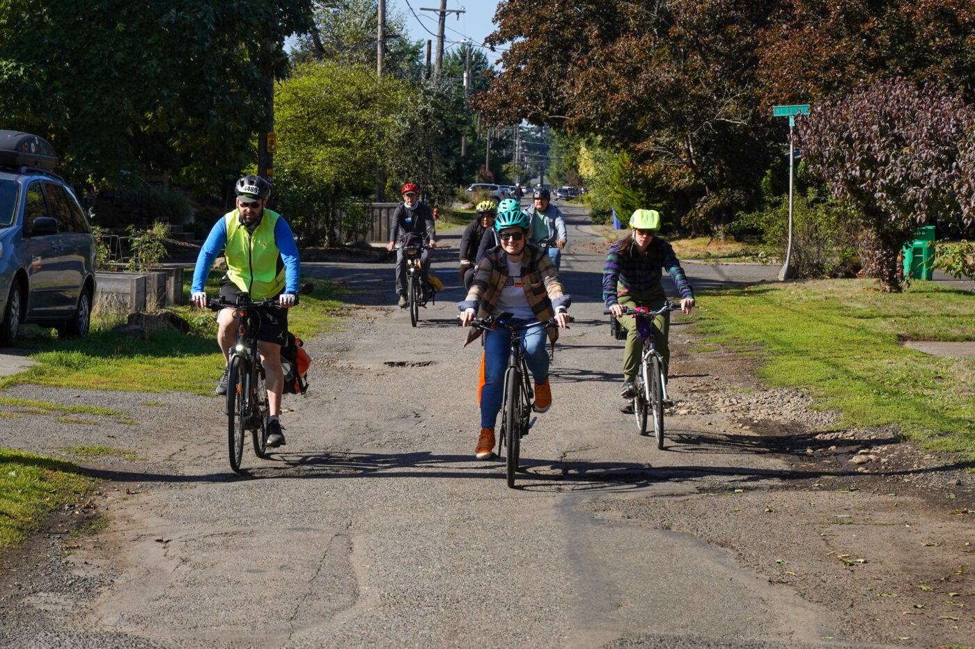
Leaving the park, the group rode south on the NE 72nd Ave parkway — a narrow residential street adjacent to a wide linear park known as the Roseway Parkway. This is a key link in the federally-funded 70s Bikeway project. An original plan was for a paved path through the middle of that park, but it was scrapped due to alleged budget problems and neighborhood opposition. Now the Cully Connector between Lombard and Sandy will include crossing improvements at the south end and a mix of two-way bike lanes and paths on the west side of the Parkway. Design is still being finalized and PBOT says construction will start next year.
After winding through neighborhood greenways to the shared street on NE Sacramento to see the location of the upcoming project through the Rose City Golf Course, we made our way north back to Killingsworth. That street’s door-zone, unprotected bike lanes no longer serve the growing neighborhood, so by the end of next year — thanks to a big advocacy push led in part by the aforementioned ABC — the current lanes are planned to be replaced by the parking-protected variety from NE 53rd to Cully.
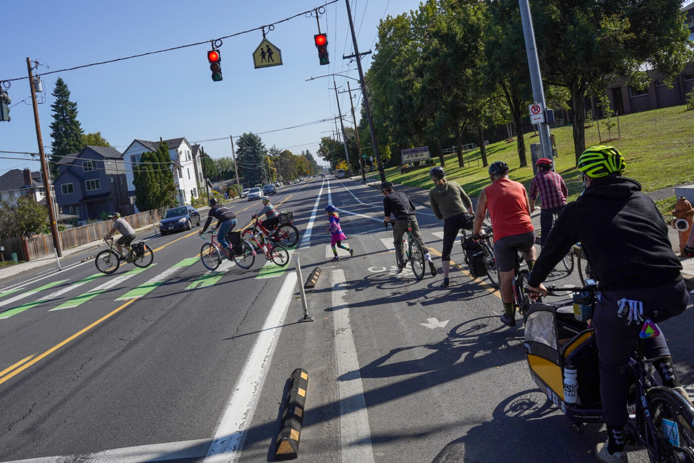
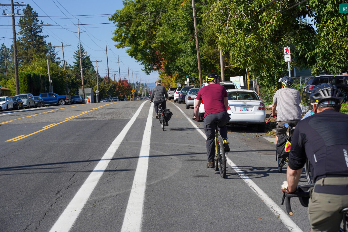
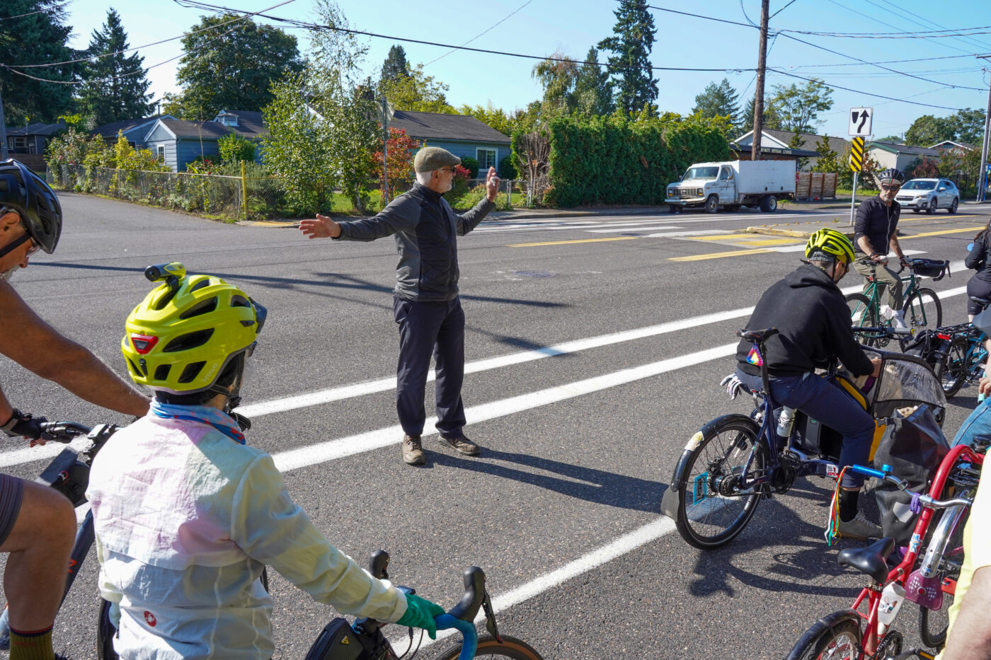
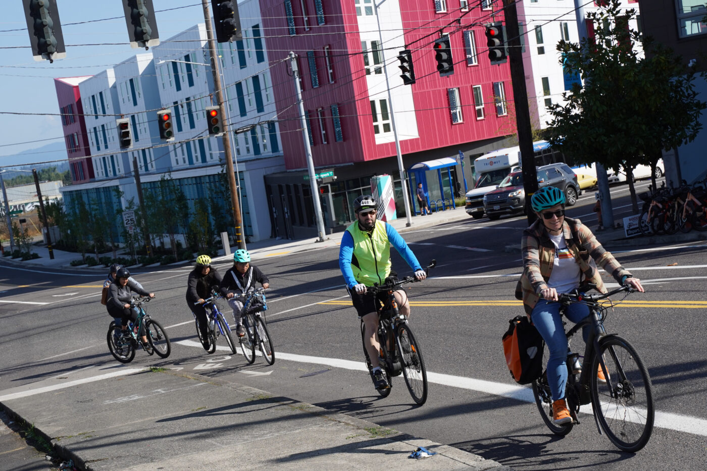
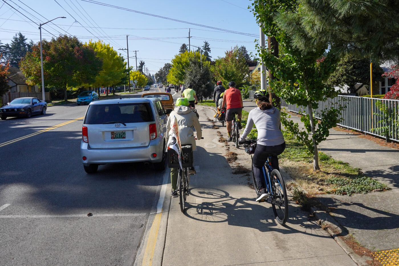
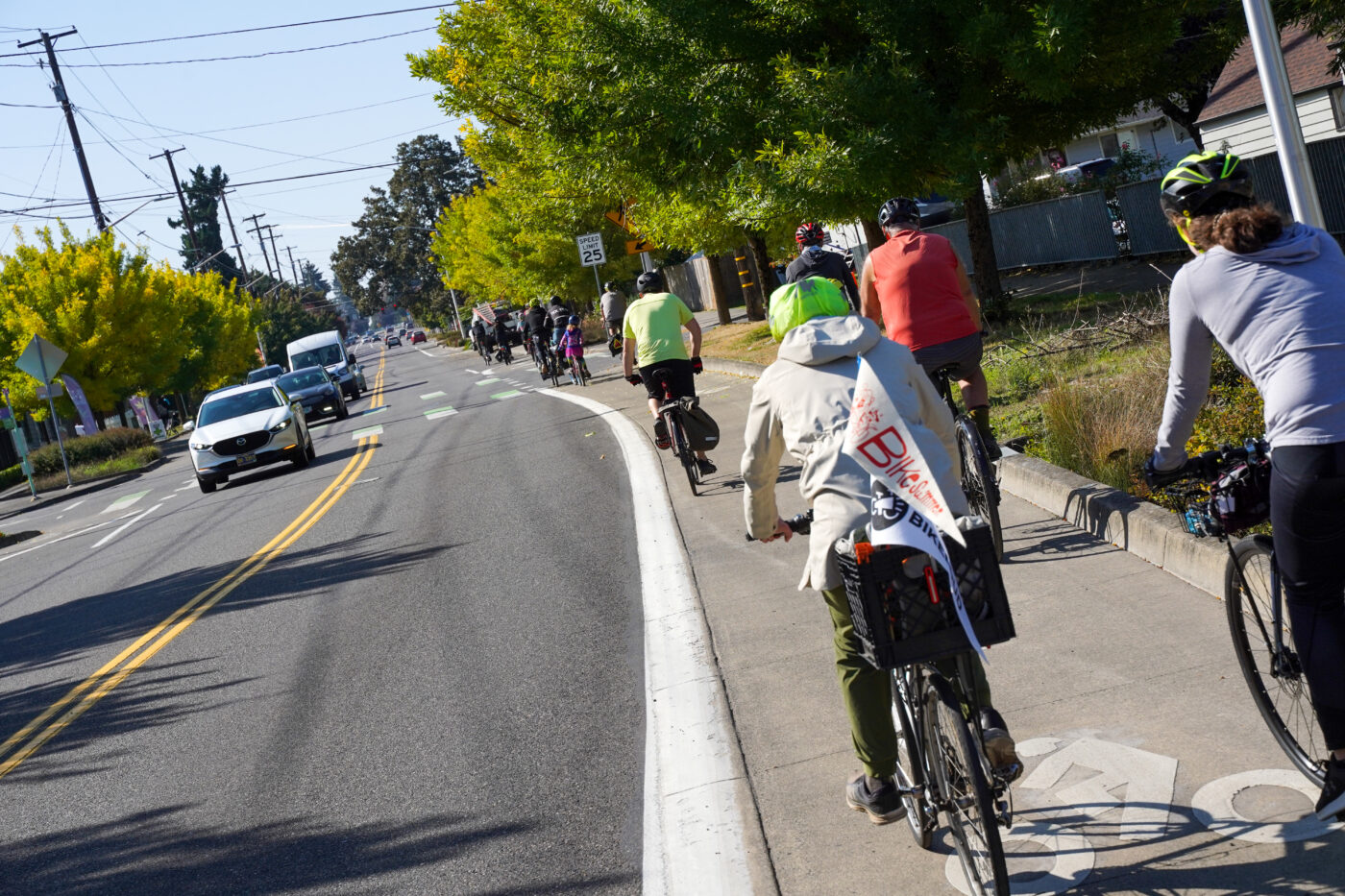
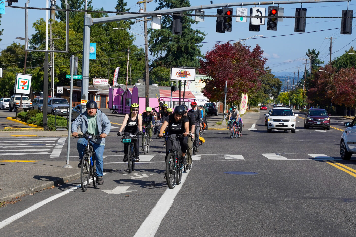
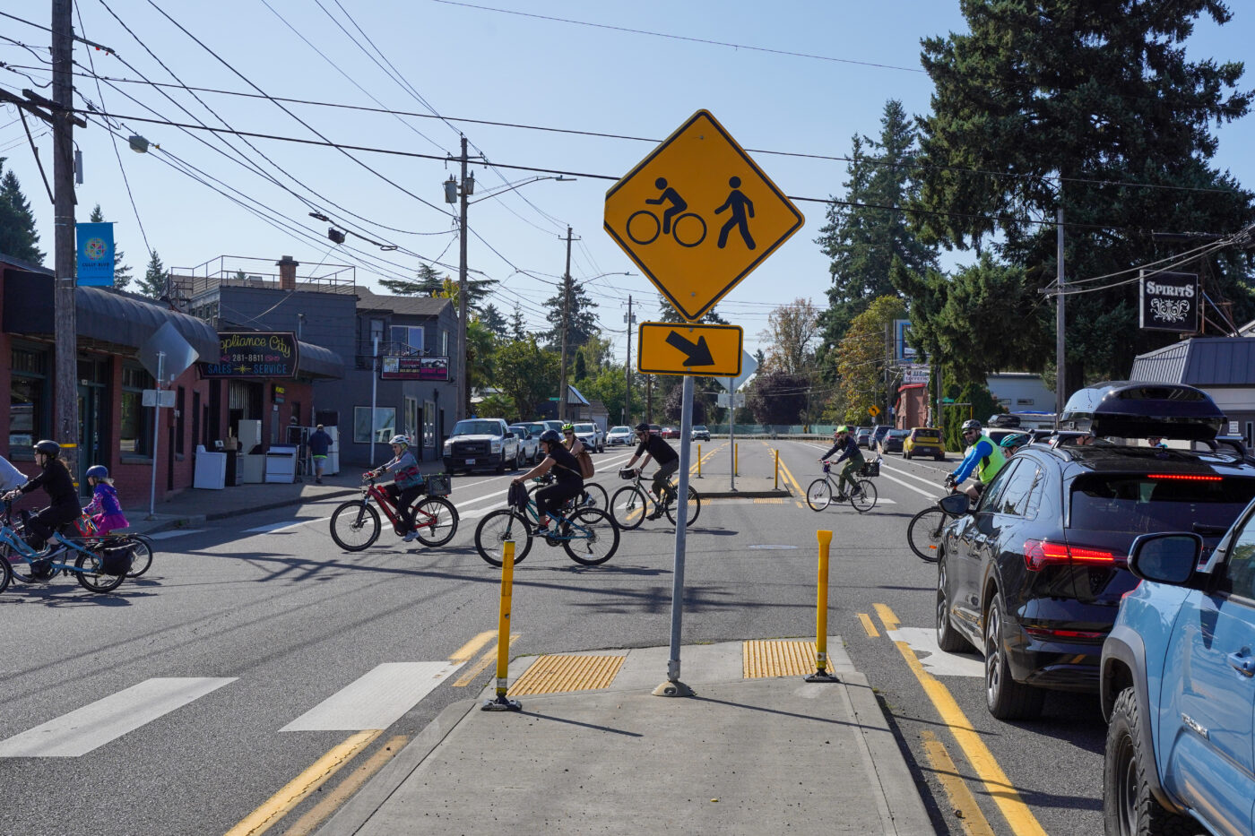
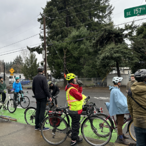
As he stood inches from fast-moving drivers on Killingsworth, PBOT’s Geller said it’ll likely take another push to extend the new bike lanes further west to the existing greenway on 37th. But even without protected lanes west of 53rd on Killingsworth, the new ones will make a safer connection to NE Holman neighborhood greenway which connects at 55th.
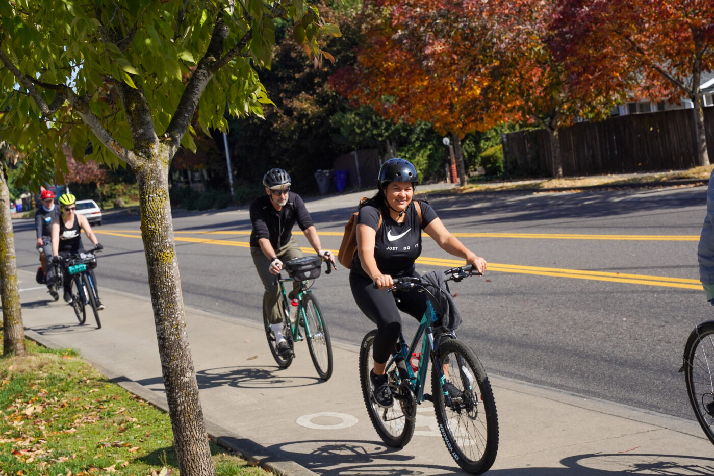
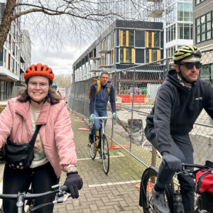
After Killingsworth, we made a u-turn and headed to Cully Blvd to sample the elevated cycle track. This neighborhood workhorse was Portland’s first Euro-style cycle track when it was built in 2011. It’s in pretty good shape. We just need a lot more people to ride on it. On that note, I can now highly recommend a stop into La Oaxaqueña (4736 NE Cully Blvd), a small (but mighty!) Mexican grocery store with fresh tamales, pico de gallo, and lots of other wonderful things for the hungry biker.
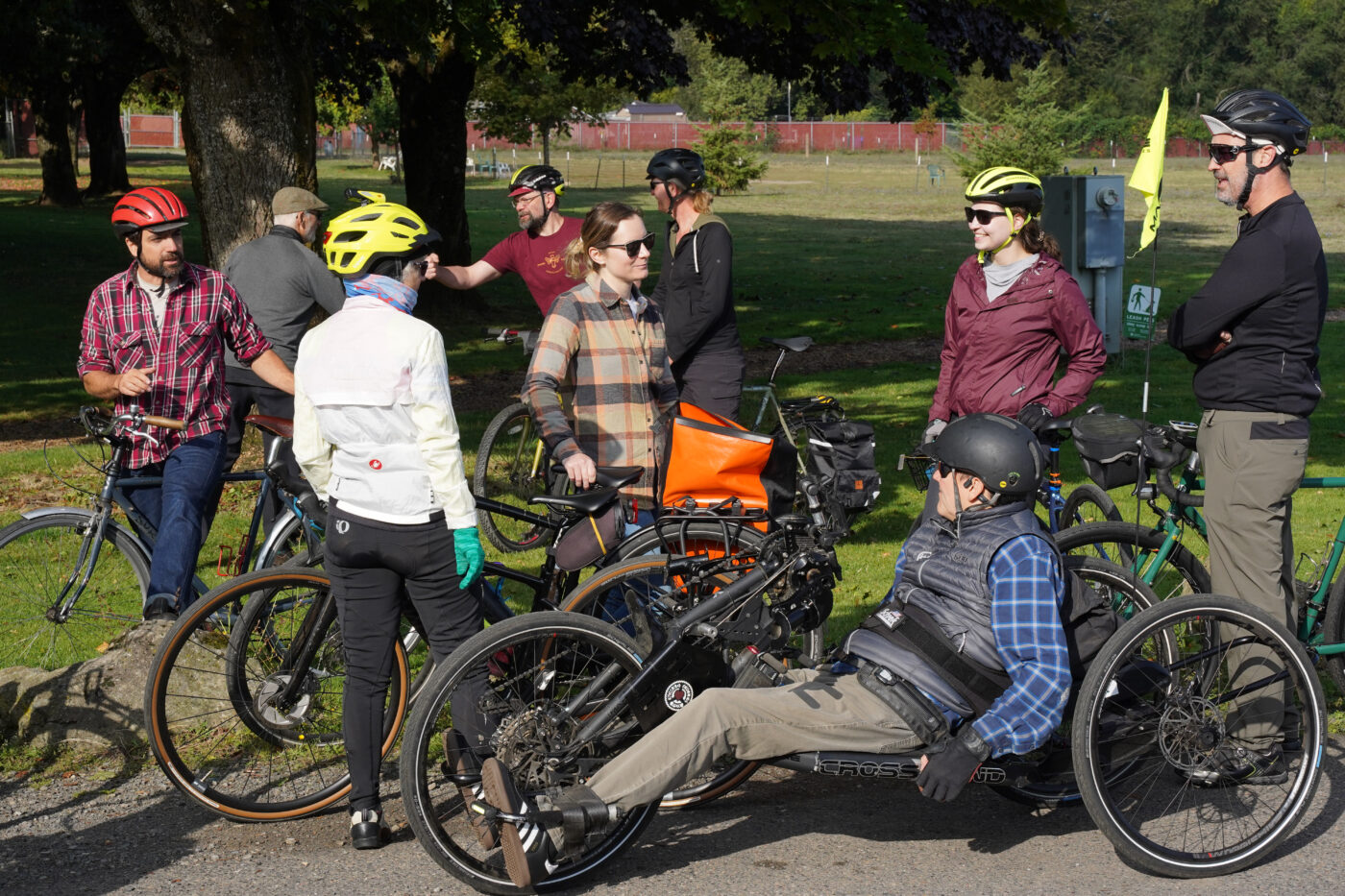
After snacks were secured, we biked over to Wellington Park where conversations ensued.
Keep your eyes peeled for the next BAC bike ride. They’re a good chance to meet plugged-in people and learn about key bike projects citywide.


Thanks for reading.
BikePortland has served this community with independent community journalism since 2005. We rely on subscriptions from readers like you to survive. Your financial support is vital in keeping this valuable resource alive and well.
Please subscribe today to strengthen and expand our work.
“ A locked gate at the end of a gravel block on the west side could be opened, but folks at the ride said a woman who lives there doesn’t want bike riders on the street.”
Why do we give randos so much power over our ability to get places by bike.
This would be a great application for eminent domain.
Is NE Alberta Street to the east of NE 73rd Avenue not owned by PBOT? It is private or is the city just lazy?
It’s City-owned all the way to the park–see the portlandmaps.com link that Chris I posted below.
I don’t see why the neighbor’s preference is relevant.
“… but folks at the ride said a woman who lives there doesn’t want bike riders on the street. “
I didn’t realize we get to choose which types of vehicles are welcome or not on our streets. How do I go about getting a gate on my street so I can limit vehicular travel to only those vehicles I approve of?
Looking at Portland Maps, I’m even more confused on this. This map doesn’t show an easement here, it just shows a street. Can you ask PBOT about this, Maus? Something isn’t adding up.
https://www.portlandmaps.com/detail/property/7325-NE-ALBERTA-ST/R172230_did/
Prior to 1993 the adjacent land had no value at all, so I’m guessing it’s either a former landfill or an airfield. If the former, then I’m further guessing the land has a lot of land use restrictions until it’s thoroughly cleaned (i.e. a toxic Love Canal superfund site). Poisoning your pet is fine, but poisoning your kids by allowing them to bike through is not.
Wasn’t that parked cleaned? The question is whether NE Alberta Street is owned by PBOT to the east of NE 73rd Avenue and if that right-of-way ends at the park. If so, that woman’s objections have no value. The outer parts of NE Portland need the safest bike routes instead of round-a-bout routes.
Yeah, good luck with that. Here’s another city park with a similar issue, Parklane Park in Centennial – in this case, it really is a former airfield.
https://www.google.com/maps/@45.5137701,-122.5021969,3a,75y,29.46h,90t/data=!3m7!1e1!3m5!1sYwalIa-l5IqVFTvgw1-w8A!2e0!6shttps:%2F%2Fstreetviewpixels-pa.googleapis.com%2Fv1%2Fthumbnail%3Fpanoid%3DYwalIa-l5IqVFTvgw1-w8A%26cb_client%3Dmaps_sv.tactile.gps%26w%3D203%26h%3D100%26yaw%3D21.591593%26pitch%3D0%26thumbfov%3D100!7i16384!8i8192?entry=ttu
It’s not that PBOT can’t make it a bike route, they can would like to do so. The issue is that this lady convinced Portland Parks & Rec long ago to put up a fence there that prevents any access to Sacajawea Park. So the issue is with Parks giving this person too much power, it’s not an issue with PBOT.
I’m not totally sure in this instance, but all over East Portland and other county areas annexed by the city are many “spite lines”, tiny strips of land about a foot wide and as long as the property (over 100 feet long) that disallow continuous public right-of-way. I’m sure that the city tries to grab them as they become available for sale, but the city’s powers of eminent domain go only so far in Oregon. The gate, while unfortunate, is very likely perfectly legal.
They are called “spite lines” because at some point the owner sold out and allowed their property to be developed, then put in the line to block an extension of their street at some future date when their next door neighbor decides to do the same – done out of spite – likely the same neighbor who in 1968 or 1978 or so complained to the county about the new development. Many people who live in cul-de-sacs prefer their set up to remain so pretty much forever, long after they die or move elsewhere, believing they can get a higher resell price later.
Agreed! I do not want Amazon drivers on my street, who do I call at PBOT to get them banned?
Thanks as always for keeping us informed. I’d love to see some of the proposed trails in parks and greenways be UNpaved (crushed gravel or something similar). Lets keep or green spaces green
Absolutely, Ryan. Maybe even some fun singletrack trails that could be adopted by neighborhood associations after they are built, similar to the adopt-a-highway program.
I’m sure wheelchair users will really appreciate gravel paths.
Ryan proposes “some” of the trails be gravel and the knee jerk performative crowd leaps forward!
So I take you oppose hiking trails and Mountain bike trails because EVERY single person cannot have equal access?
You think Gateway Green should be wheel chair accessible?
Fun world you propose and I do think we should provide lots of wheel chair access but I try to think before I post.
In a small neighborhood city park? Yeah, all the paths should be accessible.
Why not both? Paved paths with adjacent trails that pull some cyclists away from those paved paths by provide a fun alternative. If you have ridden the along the riverfront north of Oaks Bottom you have probably noticed the singletrack trail (and tabletop jump) that parallels the path. I ride it every time, and with a little attention it could be a fun section of trail. Seems like a win-win.
All the paths? Even in small neighborhood parks, this isn’t common. We have gravel and natural surface paths all over the city. There is nothing wrong with having both.
Actually, having both fits perfectly with ADA regulations and intent, and common sense. I see park paths from my window, and lots of people use the flat, paved paths who are fragile, use walkers, wheelchairs, strollers, who walk with toddlers, etc. It’s also a popular bike route, but the path splits in two so people biking or running in groups can see those people and go on the other path.
Having gravel paths gives an alternate route for park users who might not mix well with people who need the paved paths. And they self-select their routes, because each of the types–whose uses can clash on the same path–chooses the one that works best for themselves.
Want to ride in gravel? Just ride in any bike lane in the winter 😉
In seriousness, I’d rather not ride a gravel path. Even with 32mm tires, it can get a little slippery.
That’s the whole point of having both types. If you don’t want to ride on gravel, you don’t have to. I definitely don’t believe anything should be set up to require bikes to use gravel.
“Want to ride in gravel? Just ride in any bike lane in the
winterPortland metro area.Hope it’s cool that I fixed it for you.
So I’m generally a fan of parkways, but I kinda hate the ones in Cully. I don’t like how they jog one block over, half a block back all over the place. It makes the routes seem really inefficient. I often end up just riding down Prescott or Fremont anyway because those are more direct ways to get to where I’m going. Add that some of the intersections on the greenways are uncontrolled (i.e. no signage either way) and the road surface is sub-par, it all makes adds to a poorer experience than other greenways in the city.
I’d definitely like to see bike lanes on collectors in the neighborhoods on your ride map. There’s no real excuse to not at least have painted lines on Prescott, Fremont, 42nd, and even 33rd for that matter. Absolutely continue to improve the greenways, but also provide some minimal level of “bikes belong here too” on the collectors. In some of the other cities I’ve lived, these collectors in would be the most pleasant places to ride in the city. 25mph limit, wide shoulder, smooth pavement, cool businesses. I think what would be really cool would be to have improved greenways, bike lanes on collectors (protected or unprotected, just give me something), and something like “enhanced safety areas” around some of the business districts like 42nd ave or Fremont. Drop the speed limit in these areas, include tabled/raised intersections with pedestrian crossings, speed cameras, etc. I know it all costs money and stuff, but you gotta have a wishlist.
We built it, they will come. Keep the faith.
The gate on Alberta east of 73rd should be opened, despite what a neighbor wants, and see where people are wearing through a path in the grass so they can pave it.
Cully is unpleasant and inefficient to ride on. The constant zigzagging feels almost punitive to downhill riding. And the uphill sections have high closing speeds with zero buffer or protection.
I much prefer the open buffered layout of Killingsworth. The reason few ride it is it connects to nothing, disappearing at 42nd to the west and terminating into the totally trash cycling experience once it meets Lombard.
Ohm’s law of cycling: I = V/R
If we want to increase bike travel (current), we can lower resistance all day (add infrastructure), but if there’s no voltage (destinations, reasons to ride), it ain’t gonna do you very good. Great bike infra without anywhere to go is like using a 500kcmil conductor to power your doorbell…
Ooh Andrew I like the analogy!
I’m confused – by “Cully” are you referring to the NE Cully Blvd cycletrack which goes straight? or the Going Neighborhood Greenway, which does jog a bit onto Alberta Ct and St? Also, I’m guessing all the folks who live along Killingsworth in that area might take exception to their destinations characterized as “nothing.” This isn’t about “cycling”, it’s about helping people get to where they need to go safely.
I think Steve is talking about the stretch of Cully Blvd between Prescott and Killingsworth, not the straight sections south of Prescott (and not Going).
And I don’t think he meant to disparage people living along Killingsworth. Rather, he is pointing out that the two ends don’t connect to decent bicycle infrastructure, so, in agreement with your point that “it’s about helping people get to where they need to go safely.” Unfortunately, it doesn’t do that.
I was referring to the “cycle track on NE Cully blvd” that was mentioned and pictured in the article.
The “nothing” is not the community at all, it’s the broken, dangerous, or nonexistent bike connections at either end of the stretch of bike lane, both to the east and the west. It severely reduces it’s utility both for the community itself and also for those visiting or passing through. I think we all know the feeling of using a good bike lane, then being dumped somewhere illogical or unsafe.
I spoke favorably about the Killingsworth lanes because I do think they work pretty well as they exist now other than their isolation from a more contiguous network (that we should be building). I don’t think they “suck” as Jonathan said in his caption. I can see how the stretch of road could be safer, with fewer speeding cars (maybe some speed bumps or chicanes to slow drivers) but I just wanted to pushback on the characterization of Cully Blvd cycle track as good but underused (cus reasons?) while the Killingsworth treatments “suck”. I just doesn’t ring true to me as a road user and rider of these particular streets for years.