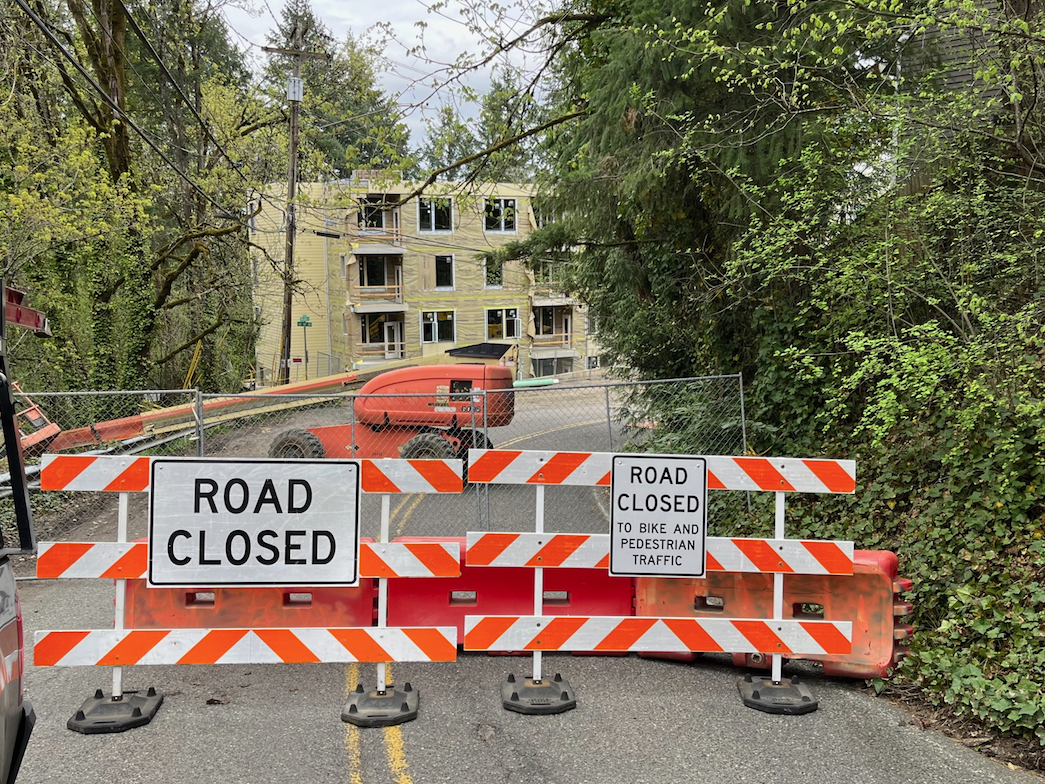
As the City of Portland’s $27.5 million SW Capitol Highway: Multnomah Village — West Portland Project approaches completion, we thought this would be a fitting time to tie the bow on this story by recapping the project’s significance.
This is a followup story to Jonathan’s photo-intensive post last month. After reading that post and seeing the total transformation of that road segment, commenters were hungry for more information. I’ll try to touch upon most of the points they raised.
Significance to rest of the network
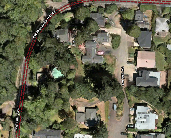
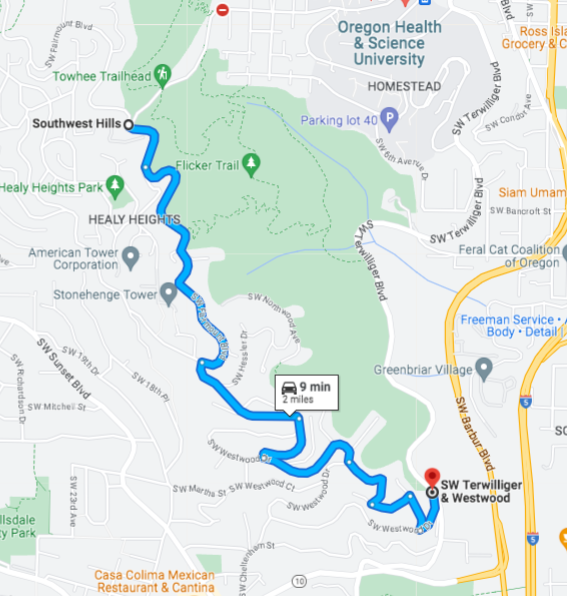
The Southwest Portland road network is characterized by poor connectivity and long, narrow roads which wind around hills and serve as arterials. Two thirds of those arterials lack any sidewalks. This means that you can get around by foot within a neighborhood, but that walking or biking between neighborhoods is unsafe. In particular, there are not enough safe routes for north-south travel.
Three decades ago, the area’s neighborhood coalition, Southwest Neighborhood Information (now SW Neighborhoods Inc) recognized that Capitol Highway was a strategic corridor which, if improved with sidewalks, had the potential to connect neighborhoods, get people out of their cars, and make a more livable community. In 1993, they sent a letter to then city commissioner Earl Blumenauer requesting support for pedestrian improvements. The city embraced the idea with its 1996 Capitol Highway Plan, and neighborhood advocates and the Portland Bureau of Transportation (PBOT) have been persistently working toward a better Capitol Highway ever since.
Construction and funding
The main challenge for PBOT was funding. Ultimately, it took new funding sources and collaboration between three bureaus, PBOT, the Bureau of Environmental Services (BES) and the Portland Water Bureau to move the project forward. Each bureau had needed infrastructure upgrades to make, by working together they reduced their costs and made the project financially feasible.
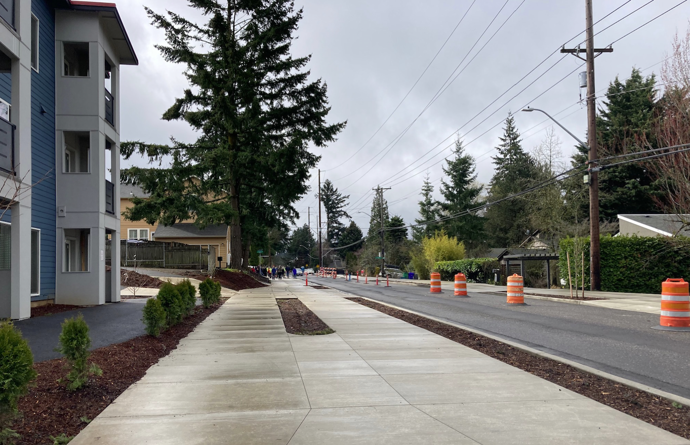
Although the most visible part of the project is the sidewalk and protected bike lane on the east side of the road, and the multi-use path on the west, it would be a mistake to think of this as a $27.5 million sidewalk job.
What is happening underground is also very important.
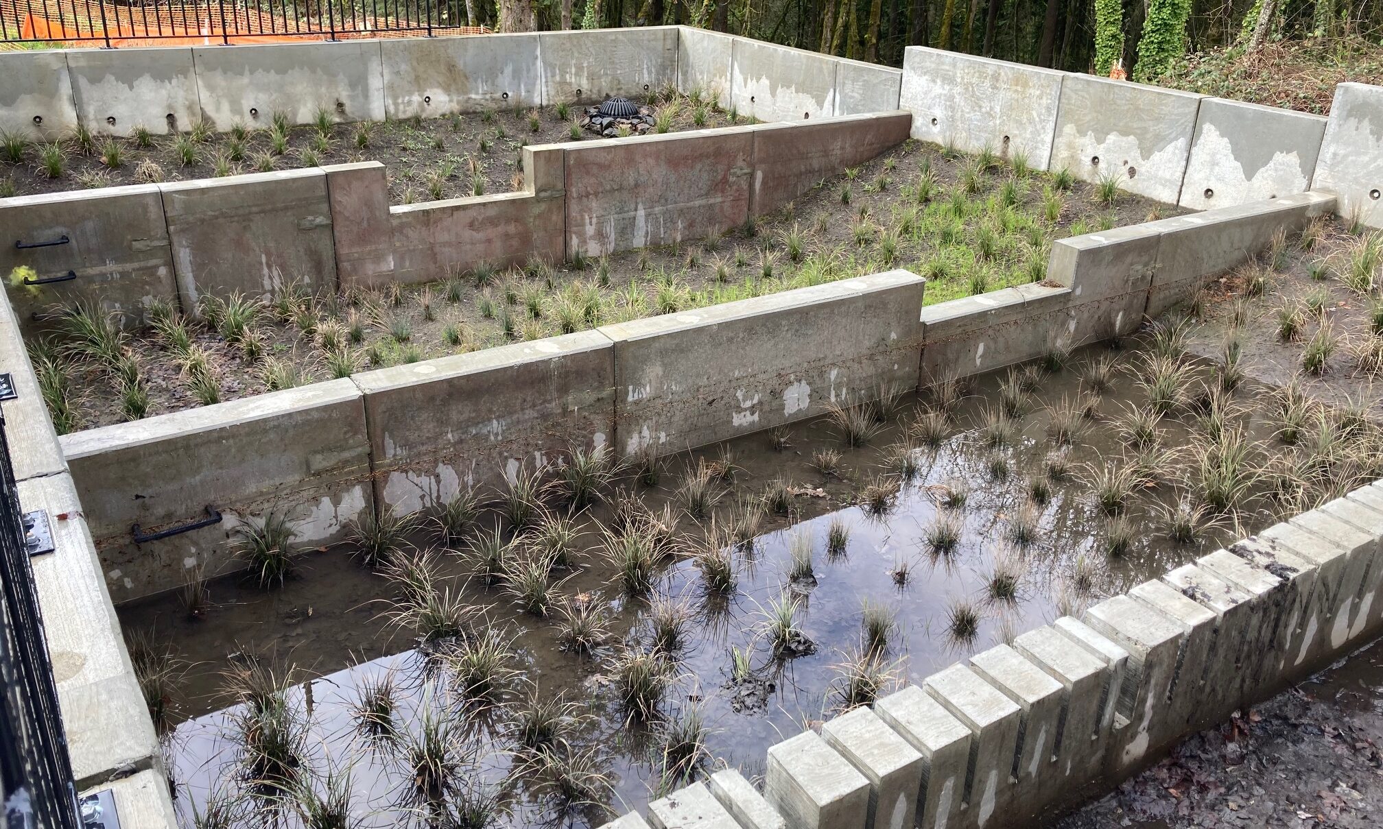
BES needed to install stormwater facilities—the pipes and runoff treatment and detention basins—because the low-lying neighborhoods to either side of Capitol Hwy had long grappled with flooded basements and muddy, barely paved roads.
The Water Bureau needed to upgrade the water main to a larger, seismically-resistent pipe.
PBOT’s $6.6 million contribution through the Fixing Our Streets city gas tax has been, to date, the largest amount of money that fund has spent on any individual project. Other funding sources included Transportation System Development Charges and Oregon Lottery-backed bonds authorized by the 2017 State Legislature.
So collaboration between the bureaus was key. Neighborhood activist Marianne Fitzgerald told me that BES “was instrumental in approving an alternative stormwater design that freed up space for sidewalks and bike facilities.”
At $12 million, BES was the single largest funding source.
Stormwater facilities
I have enjoyed covering this story because I finally got to watch a stormwater basin get built. Southwest Portland does not have a formal stormwater conveyance system. Instead, the area’s runoff “drains to streams,” which means that federal Environmental Protection regulations apply. You can’t just run a pipe from an inlet in a curb directly to a stream, you have to treat the water first. For the Capitol Highway Project, BES funded four treatment and detention basins.
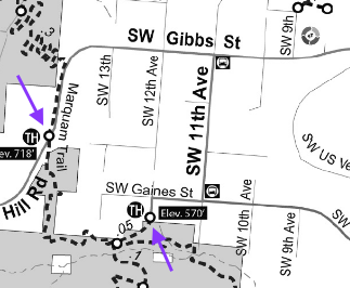
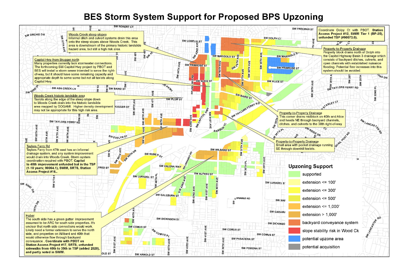
Understanding the connection between stormwater facilities, zoning and density is key to understanding both why the southwest lacks sidewalks and also its potential for future growth. For an insightful explanation of these issues, see the BES Stormwater Considerations and Rationale for Zoning Recommendations memorandum in the West Portland Town Center Plan. The zoning map above shows that the new treatment and detention basins “should have some remaining capacity and appropriate depth to serve some but not all taxlots along Capitol Highway.”
Wrapping it up, and recognizing those who did the work
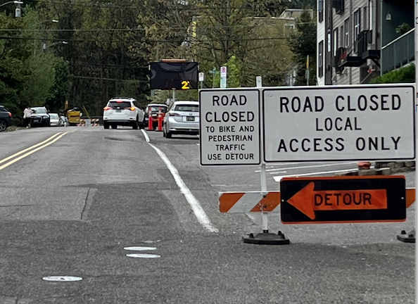
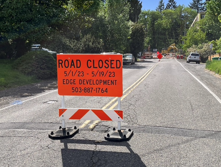
Project construction began nearly two years ago, during the middle of the Covid pandemic, and is scheduled to complete in a month. The ribbon cutting is planned for [UPDATE 5/12/2023: the Ribbon cutting has been changed from June 10th to July 1 at 11:00 AM], and that is where the many people who contributed to advancing this project over the years will be recognized, elected officials, bureau heads, managers, planners, civic organizations, neighbors, activists—this was truly a community effort.
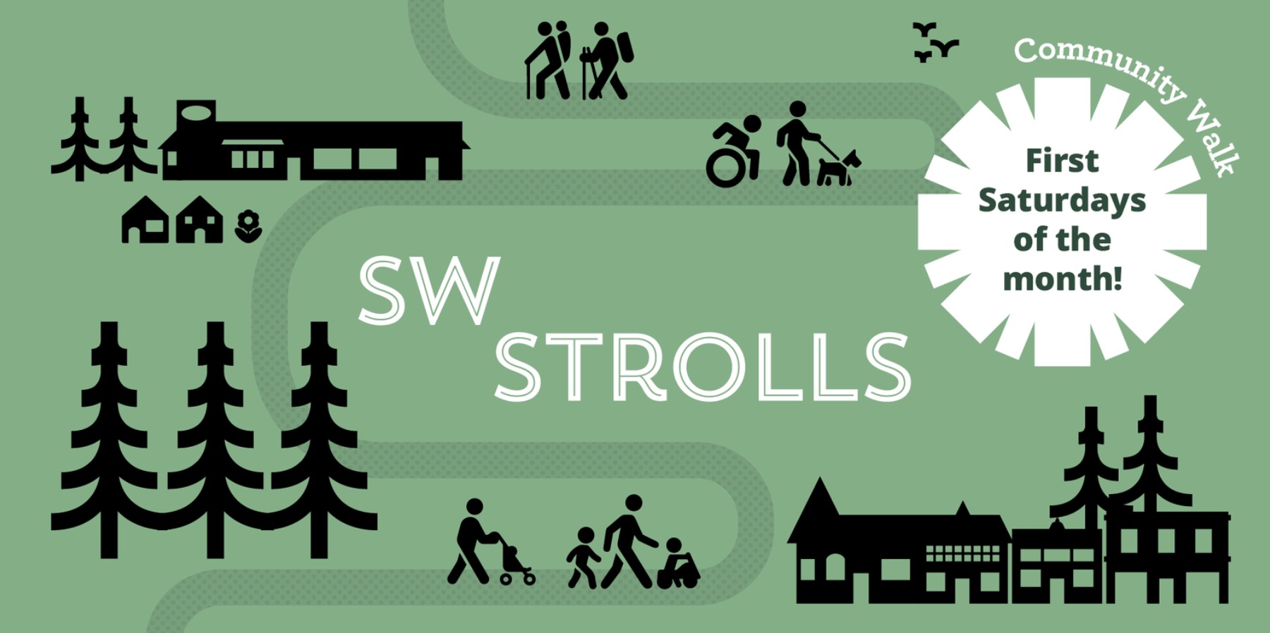
SW Strolls, a series of four tours held on the first Saturday of each month, has been organized by PBOT, the Multnomah Neighborhood Association, the Multnomah Village Business Association, SWTrails and local residents. The 2nd of the four strolls is tomorrow morning, with two more strolls on June 3rd and July 1. The tour I saw last month was led by PBOT’s Ashley Lopez and was a good opportunity to ask questions.
The actual shovel to the ground work on the Capitol Highway Project was overseen by the City of Portland’s contractor Landis and Landis Construction and the project manager has been PBOT’s Steve Szygethy. The overall project management was a pleasure to watch, I particularly appreciated the construction updates the team sent out every two weeks.
Last week’s update mentioned side street paving, street sign installation and tree and shrub planting.
And with that, I hope I have answered most of the questions commenters had. If I missed anything, the PBOT project page has an excellent project description. If you still want more, tomorrow’s SW Strolls tour is the place for you!