So often while driving down Interstate 5 south of Portland my mind wanders: Could I ride to Eugene? What would the roads be like?
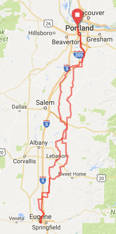
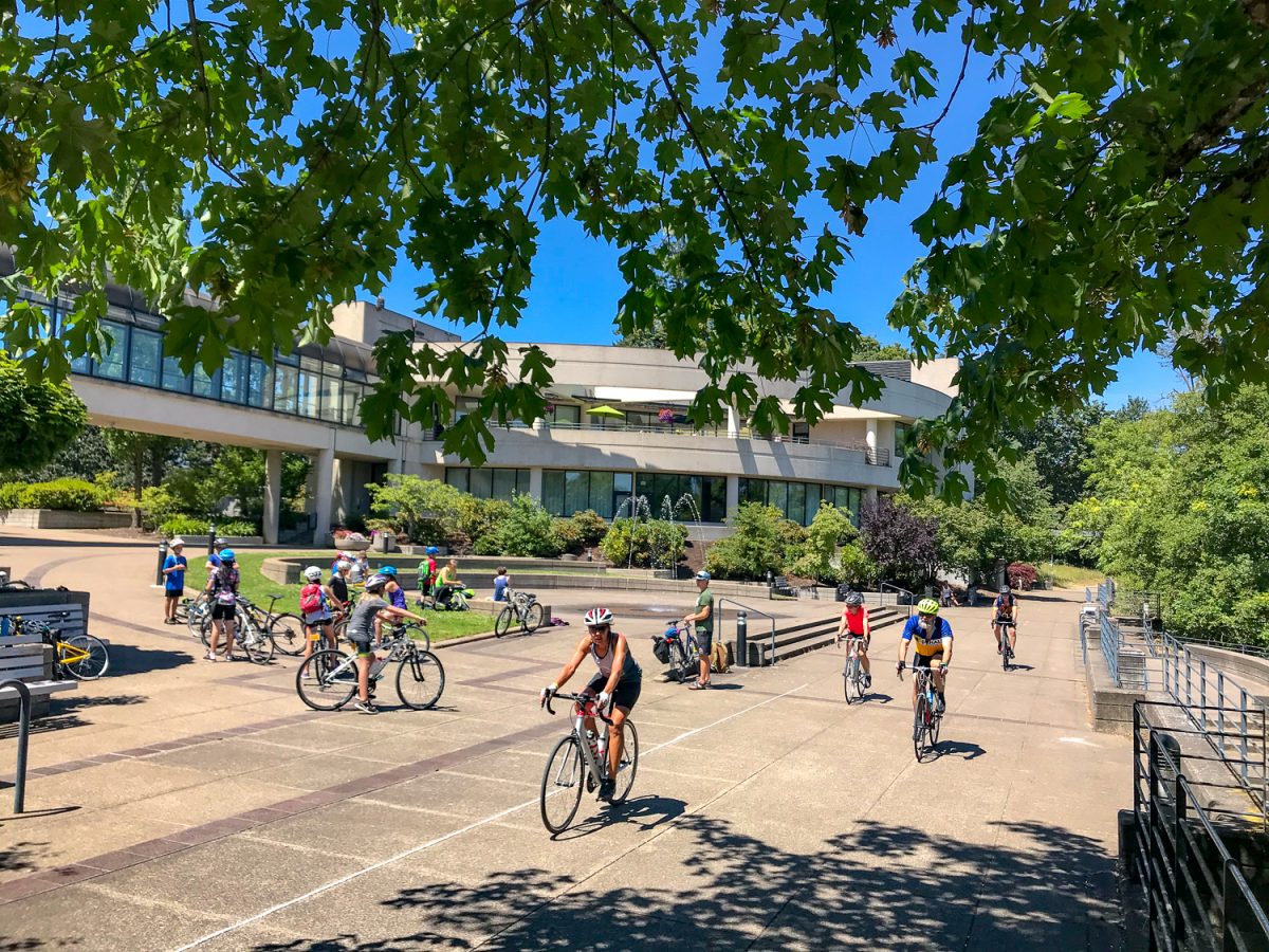
I began to ask myself those questions again this past weekend as the date for the Cycle Oregon Weekender event approached. This year it was held on the University of Oregon campus in Eugene. I’ve ridden to Salem a few times via backroads on both sides of Interstate 5 — for the Fresh Hop Century and the Salem Gravel Grinder rides just to name a few — but until last weekend I had never gone further south.
Like with all my adventures, my first stop was RideWithGPS.com, the Portland-based route-finding, recording, and planning service. Simply typing in “Portland to Eugene” in the search bar got me started on my research. If found a route that looked interesting, did a bit of editing to make it more windy and to follow the smallest roads possible, then synced it up with my GPS device.
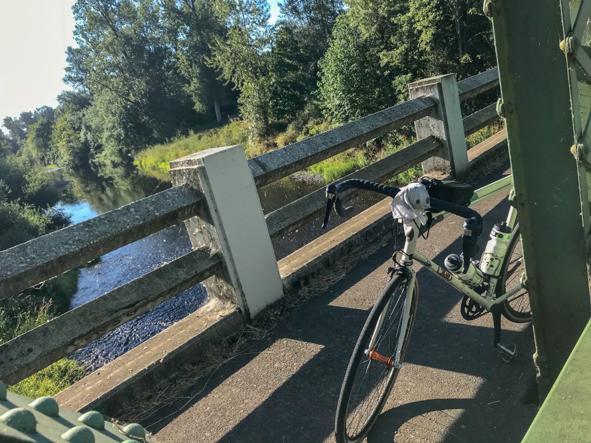
With frame-bags packed full of overnight gear, my plan was to bike down to UO to check out the Weekender. Would I ride back to Portland? That was still up in the air. My first priority was getting to Eugene.
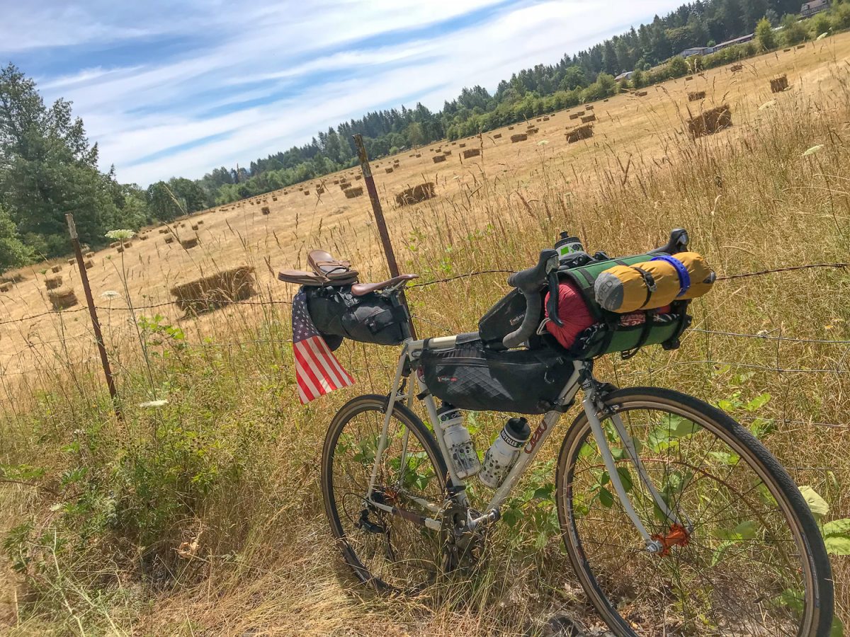
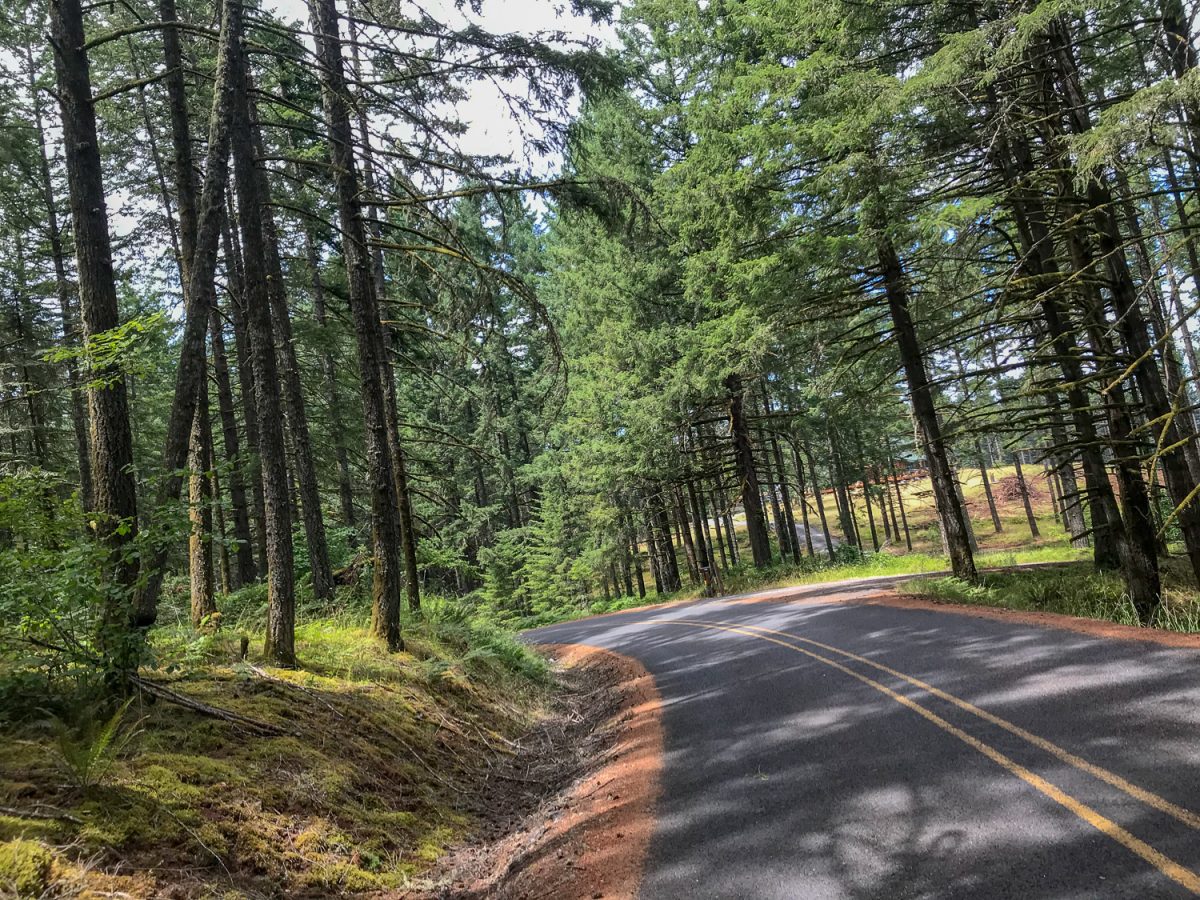
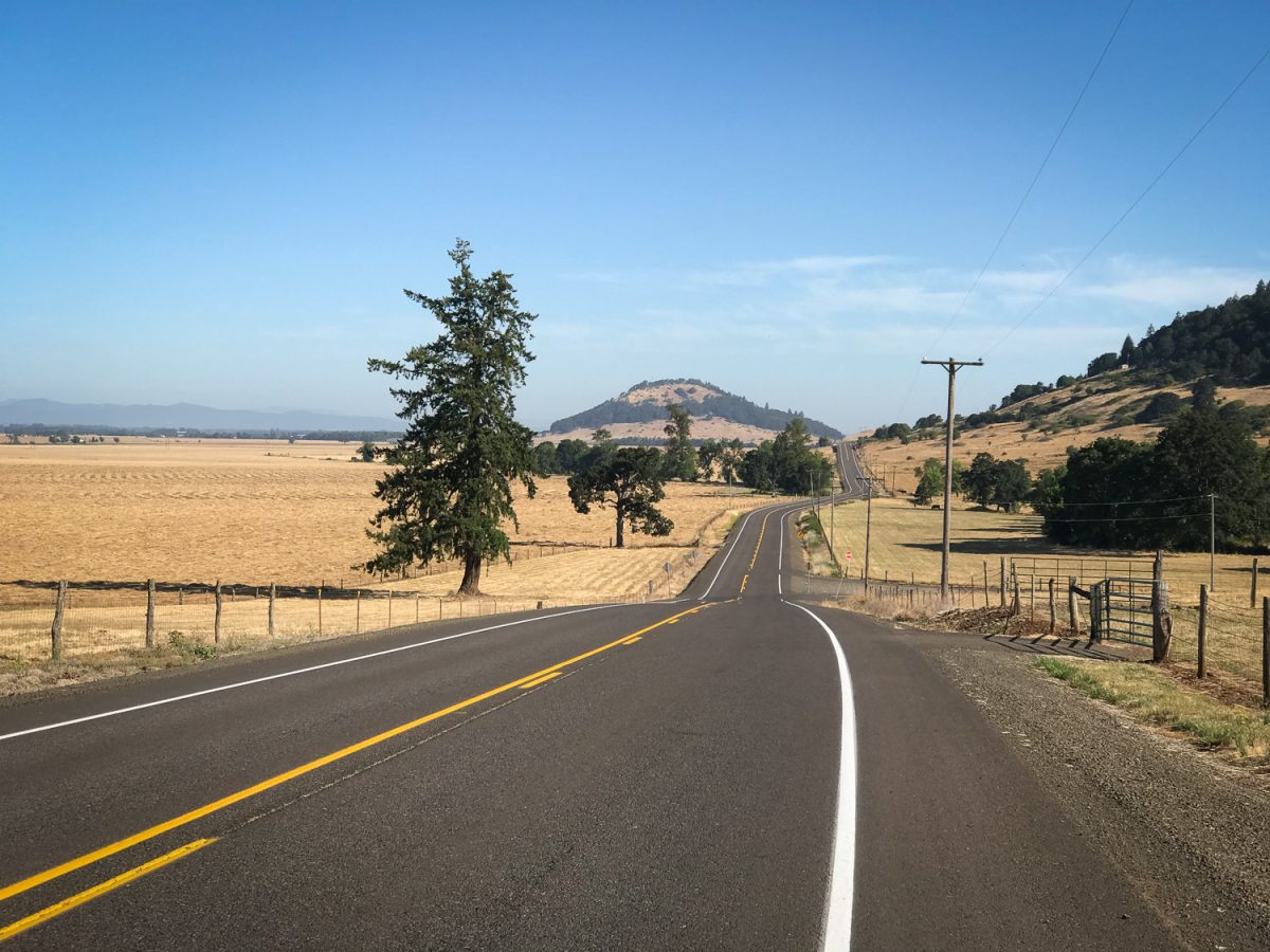
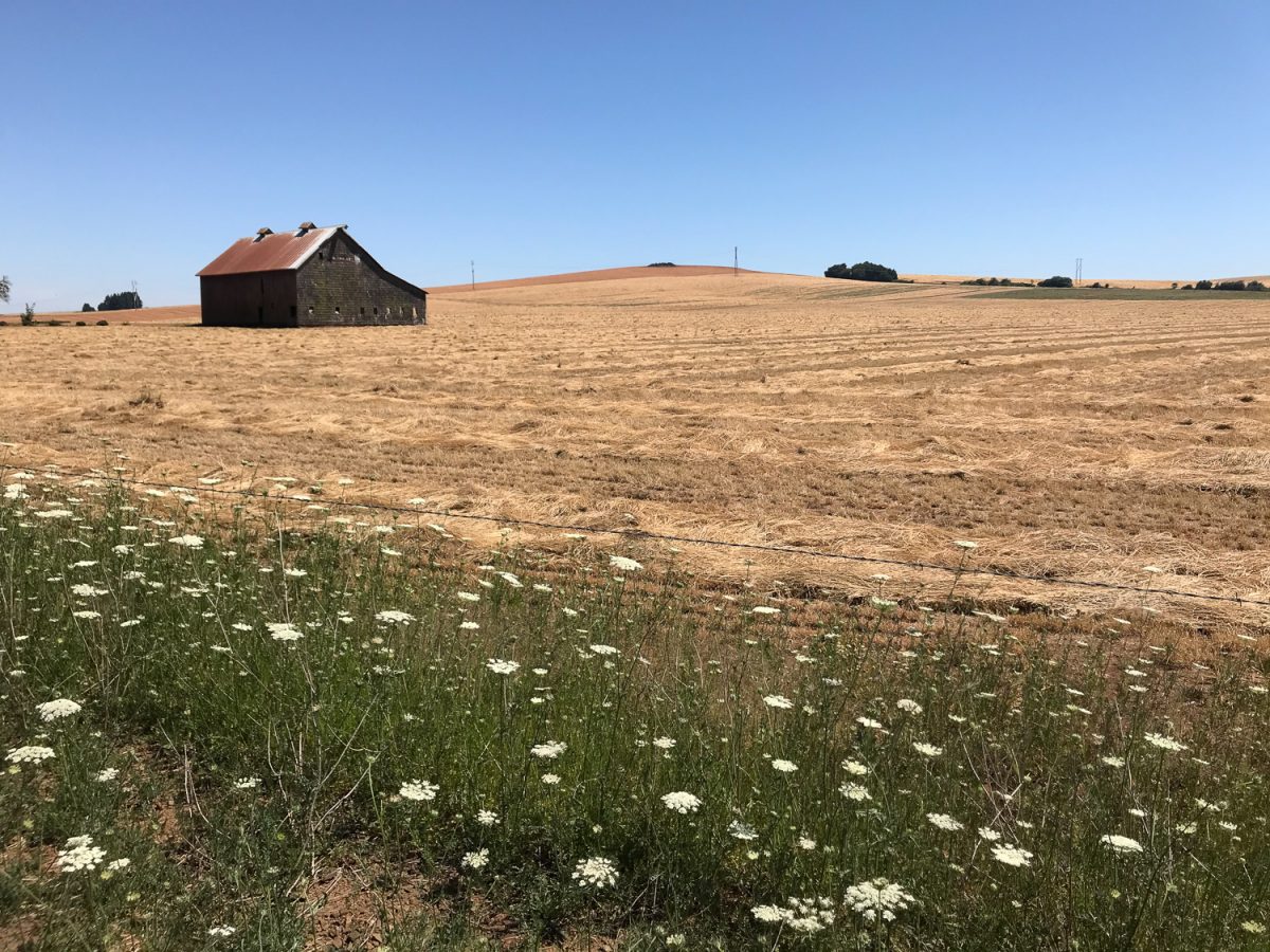
The 145-mile route to Eugene was great. It passed through small towns, broad valleys, many rivers and creeks, and even through fern-covered forests (with much-needed shade on a day with a high temp of 100!). The highlight was discovering a small town called Sodaville, home of the first-ever officially designated State Park in Oregon. A sign posted near the corner of Sodaville Mountain Home Road and Maple Street said a mineral spring was discovered there in 1848 by a local man who was looking for his oxen who had gone astray. The water was thought to have medicinal qualities and soon bathhouses, hotels, and vibrant small town developed around it. Sodaville reached its apex in the late 1890s. By 1953 the spring was found to be contaminated and it was closed off for good. Today there’s a basketball court and small park where the spring once spouted.
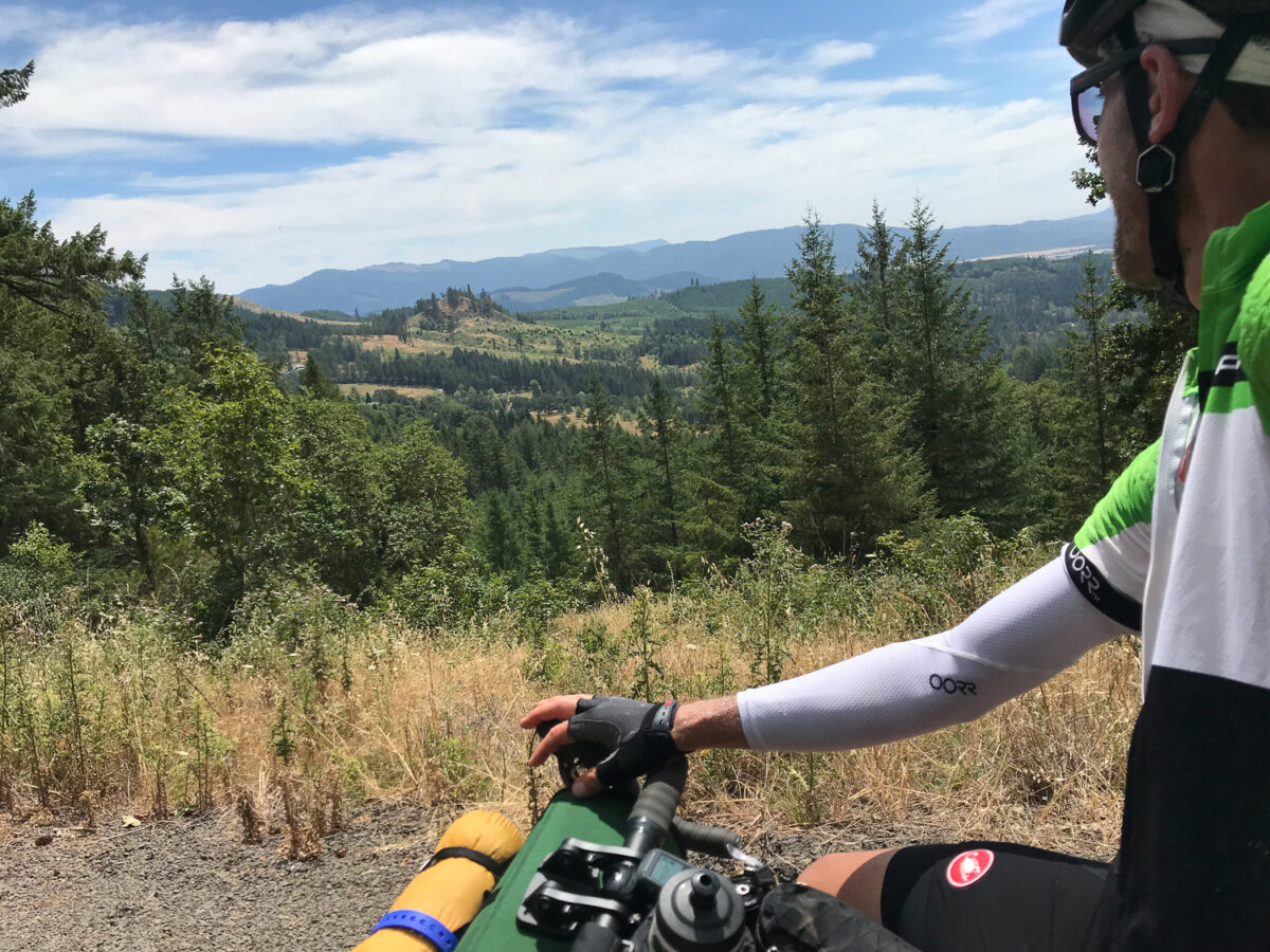
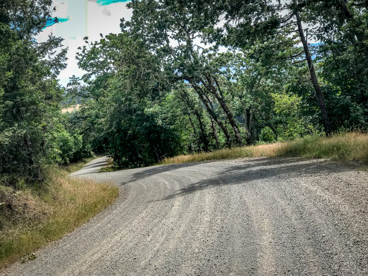
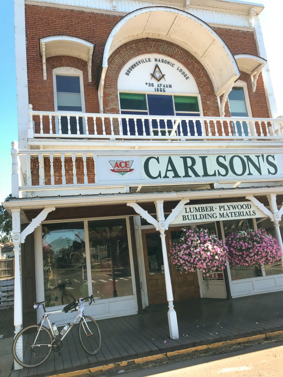
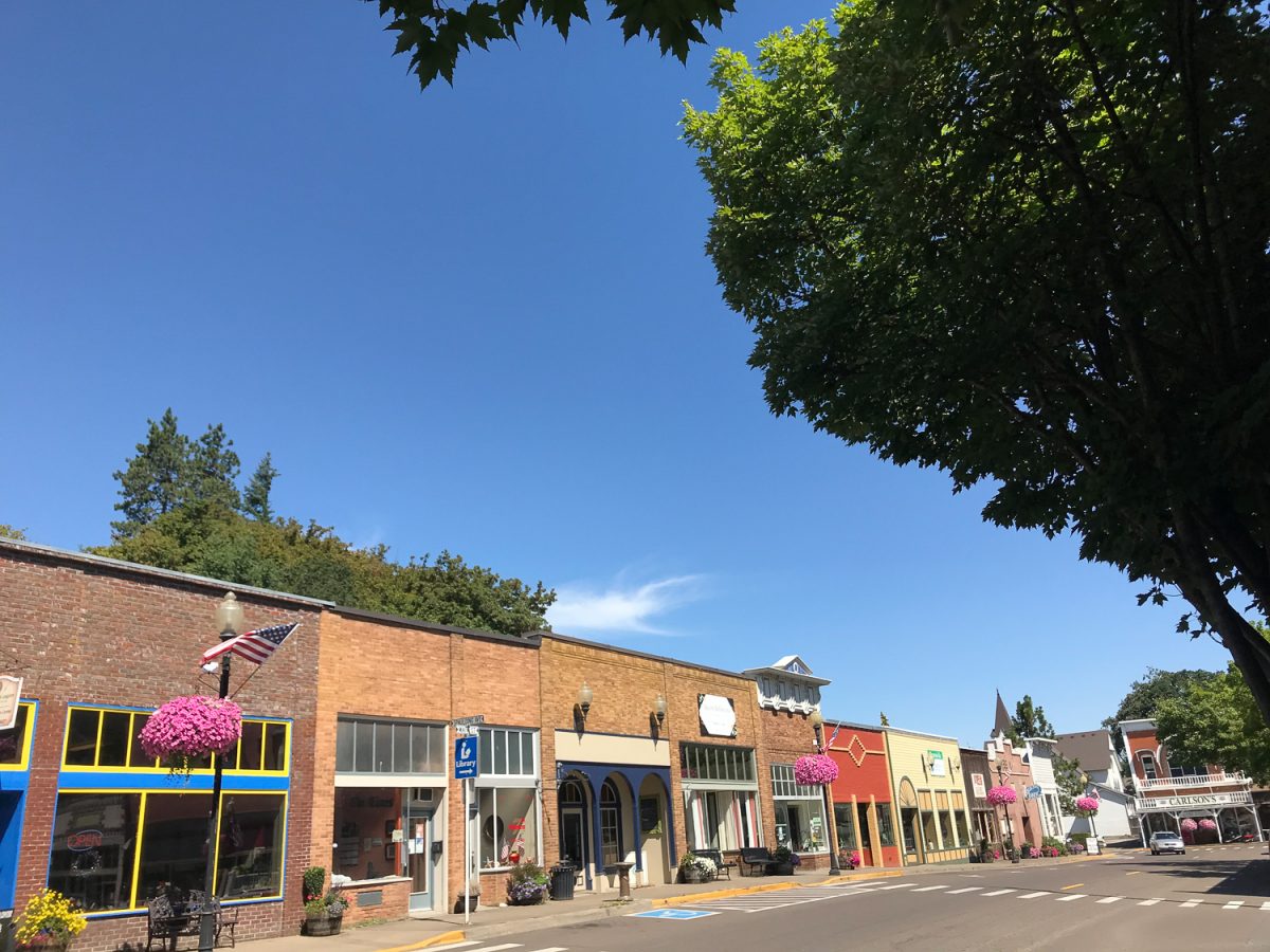
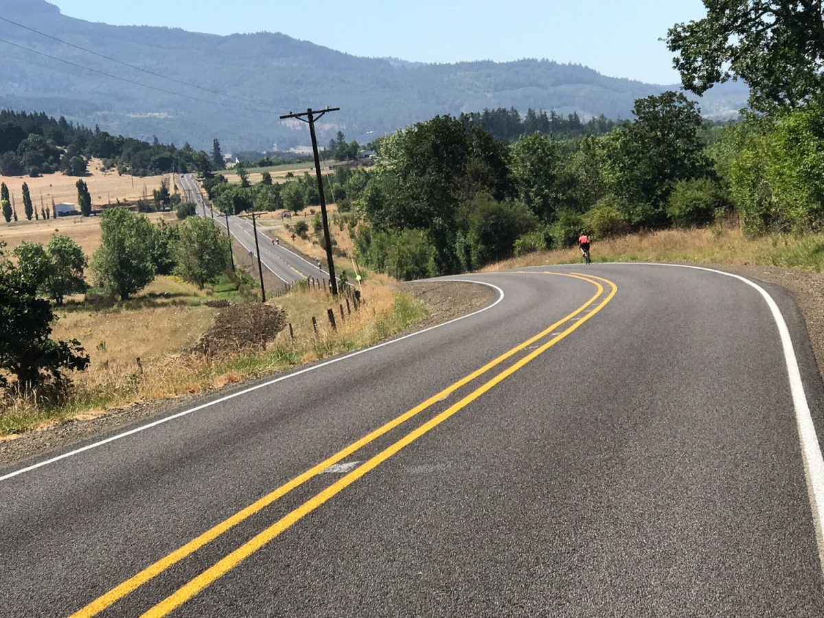
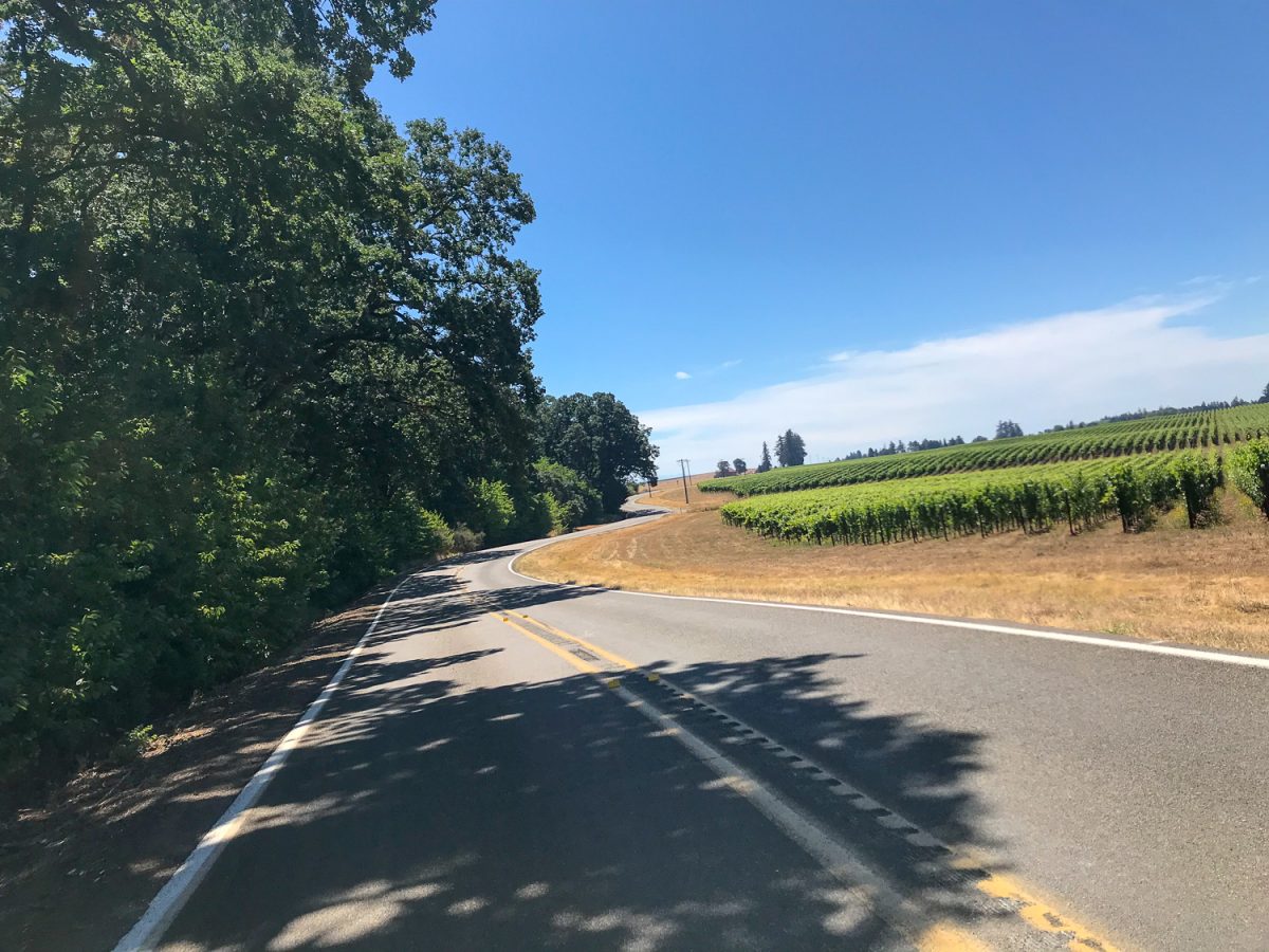
The road south of Sodaville was by far my favorite part of the ride. It’s a beautiful climb that rises 1,000 feet in five miles on the western edge of the Santiam State Forest. An eight mile descent into Brownsville — including a good chunk of luxury-grade gravel — was the reward. I enjoyed Main Street in the historic pioneer town of Brownsville before the final push into Eugene.
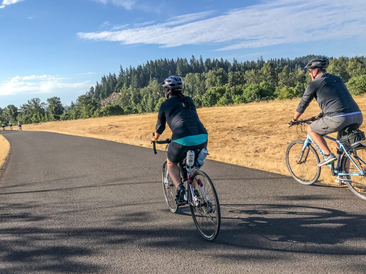
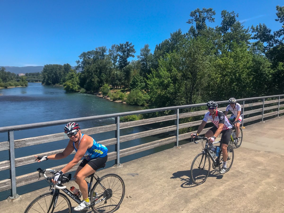
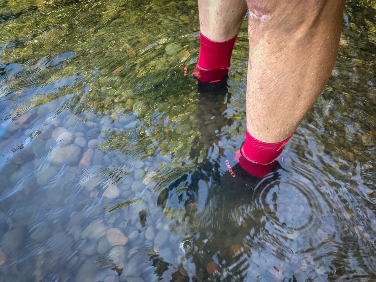
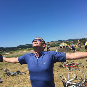
1,500 people attended the Weekender, which Cycle Oregon describes as simply, “Great rides and good friends.” On Saturday I rode the 76-mile route: a loop northeast of Eugene that featured a steady climb on Marcola Road along the Mohawk River to Crawfordsville. The second half of the route was on the same roads I used on Friday with the added fun of riding the bikes paths along the Willamette River into downtown Eugene. I found a nice little spot to take a swim a few miles from the finish.
Advertisement
By Saturday afternoon I’d made up my mind to ride back to Portland on Sunday. I was grateful to find a friend to haul my bags back for me so I could be much lighter for the ride home (thanks Tom!). I didn’t want to take the exact same route so I browsed RideWithGPS.com once again to find something interesting (and with a bit less climbing than the way down). I was very happy with how it turned out.
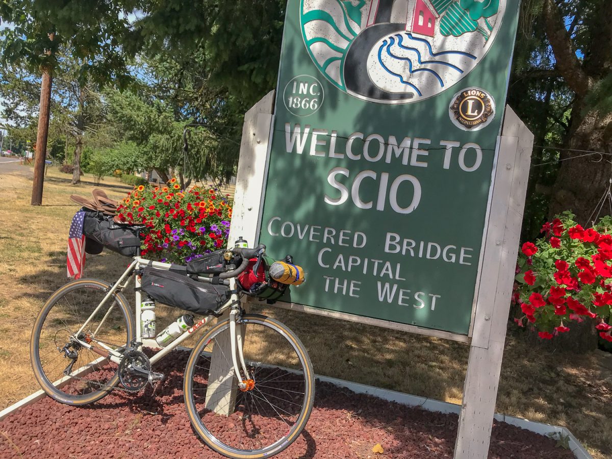
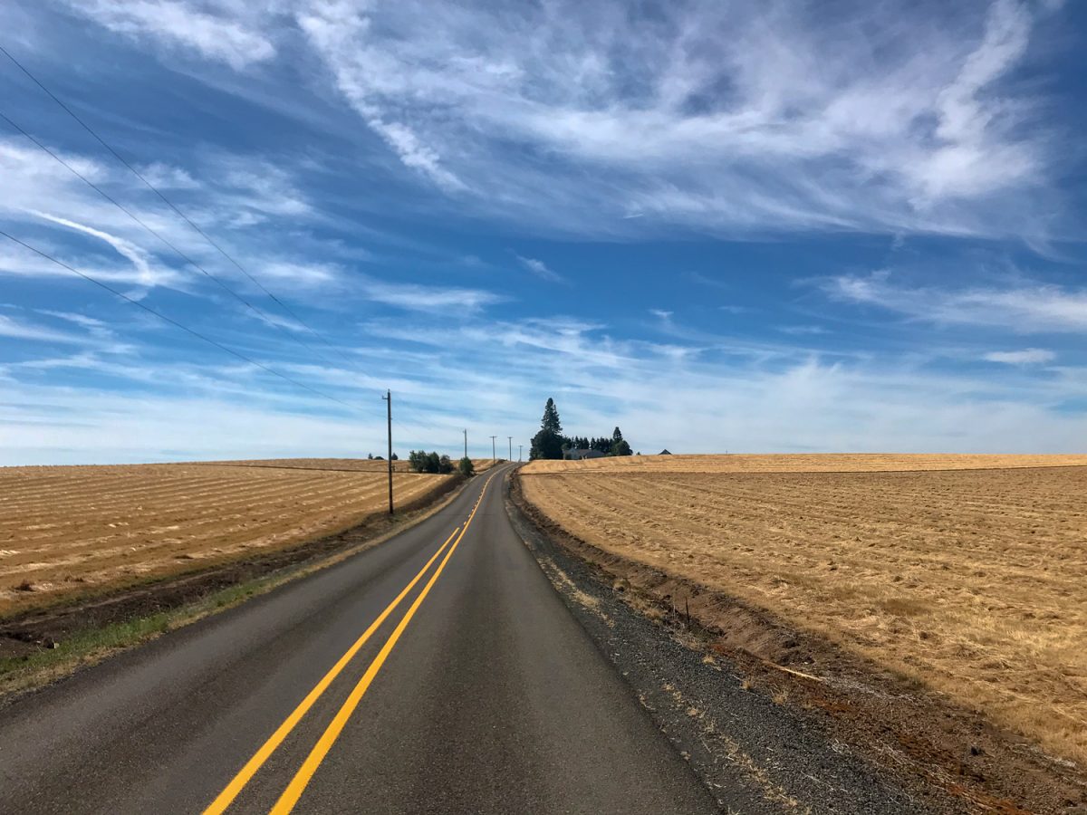
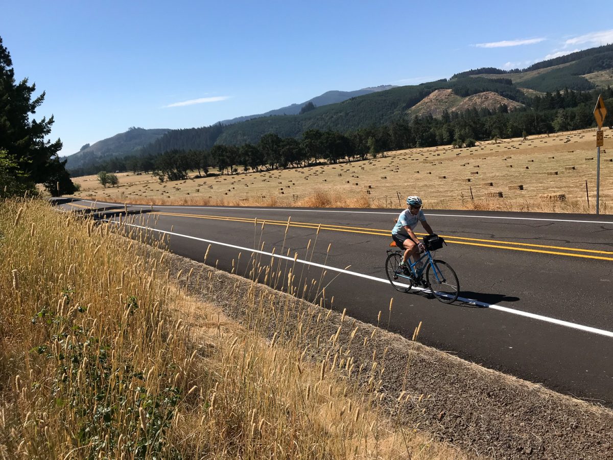
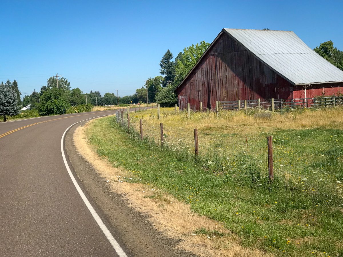
The highlights of the 145-mile route were Brownsville Road (north of its namesake town) and Gilkey Road. Gilkey is fantastic. The 10-mile stretch between Crabtree (Highway 226) and Scio was almost traffic-free and I was treated to many memorable vignettes of farm life.
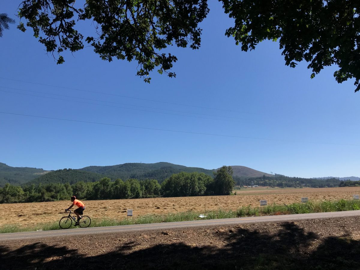
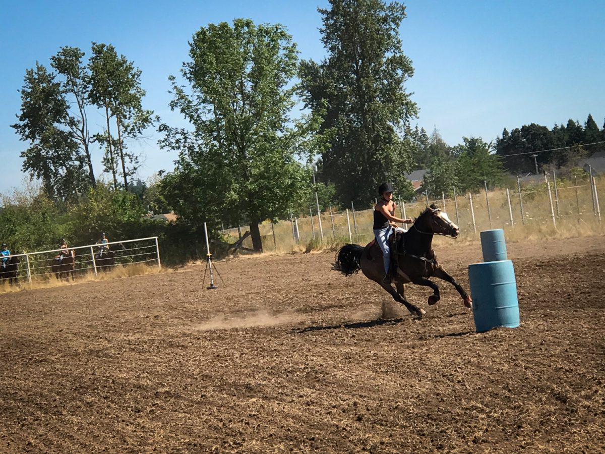
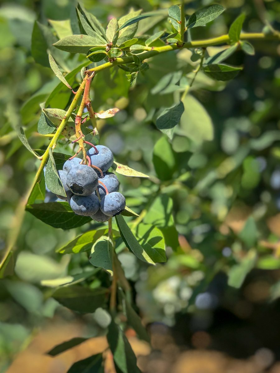
On rides like this my head is always on a swivel. When I’m not glancing over my left shoulder to acknowledge and scan other road users, I’m peeking at yards and farms and porches. I love seeing the farm and country lifestyle unfold as I roll by: a retired couple playing cards in the shade, a man baling hay, a dad driving a tractor with his young son in his lap, a woman sitting in a chair picking blueberries, and a horse show that look so cool I had to pull over. Hosted by the Scio Buckaroos, the part of the show I saw featured teenage girls competing in barrel-running (not sure if that’s the official name). As these capable riders flew around the course, a man offered play-by-play and encouragement in a classic country drawl over a loudspeaker. “That’s it. Look where you want to the horse to go. That’s how you do it.”
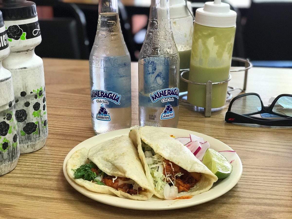
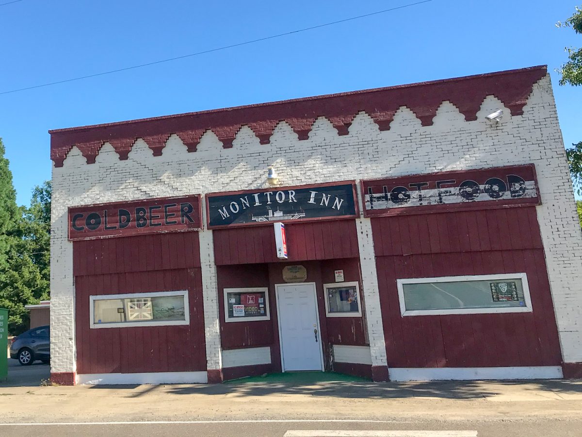
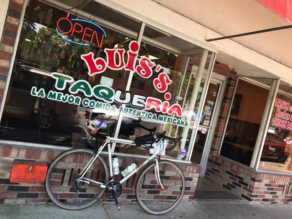
At about mile 100 I came to one of my favorite places in Oregon: Front Street in Woodburn. This part of Woodburn owes its classic main street-style development to the busy railroad that runs along it. On Sundays, all the locals come out to get food and treats and it feels like a street in Mexico. People wait in the always-long line for ice cream and other sweets at Paleteria Y Neveria El Paisanito, or they find fresh-made corn and other specialities from street vendors. Since I was ready for a break, I settled into Luis’s Taqueria for some cold Jarritos Mineragua and tacos. The tortillas at Luis’s are fantastic. Huge and soft and made by hand, they cradle a healthy serving of veggies and meat.
After filling up my tanks the rest of the ride was mostly a formality as I wound my way on familiar roads back to Oregon City and Portland.
I’d highly recommend using these routes if you want to venture down to Eugene. With Amtrak and plenty of parks, camping and hotel options, this could also make for a fun 2-4 day trip. I stitched both routes together on RideWithGPS to make a complete loop. While there are definitely some miles of highways you’ll share with a good number of car drivers, the vast majority of the roads are quiet backroads where the only vehicles you’ll see are tractors.
— Jonathan Maus: (503) 706-8804, @jonathan_maus on Twitter and jonathan@bikeportland.org
Never miss a story. Sign-up for the daily BP Headlines email.
BikePortland needs your support.












Thanks for reading.
BikePortland has served this community with independent community journalism since 2005. We rely on subscriptions from readers like you to survive. Your financial support is vital in keeping this valuable resource alive and well.
Please subscribe today to strengthen and expand our work.
If you only have the time and/or energy for a one-way trip, Amtrak Cascades is a great option to get to/from Eugene with your bike. There are two round trips per day where you can pay an extra $5 to take your bike along. You don’t have to box it, just hand it to the baggage attendant before getting on.
Why bother riding or driving to Eugene when Amtrak lets you bring your bike on board?
The force is not so strong with this one…
It’s called “touring.”
Washington state has an East-West trail, New York will have a N-S and E-W trail by 2020. The GAP and C&O allow a person to travel on a bike from Pittsburgh to DC. Oregon should have an East-West route from coast through the gorge and North-South route down the valley. Even Missouri has a trail from Kansas City to St. Louis.
https://www.traillink.com
Surprisingly, based on the above trail map, Oregon is one of the worst states in the country for safe/separated inter-city bike paths.
The Salmonberry Trail has a high potential of becoming reality in not too long. Starting with the existing Banks/Vernonia trail and heading to Tillamook, you could conceivably start at the coast, head through PDX to the Historic Columbia River Highway, and get to the Dalles, with at least a good portion of the route on separated infrastructure. It’s not reality yet, but things are coming along…
I phrased that strangely. Start in Tillamook, ride the proposed Salmonberry to BV, then blah blah blah.
Can’t wait for the Salmonberry. Should be amazing.
Luis’ Taqueria – so good!
The Willamette Valley Scenic Bikeway also affords a great route from Portland to Eugene. We’ve done it a couple of times, once in two days and once in three. For the most part route signage is very clear. Both times we’ve ridden (summers nine and four years past), the motor vehicle traffic was fairly relaxed outside of Salem and Corvallis where we spent our nights with hot-and-cold running room service.
Info can be found here:
https://traveloregon.com/things-to-do/outdoor-recreation/bicycling/road-biking/willamette-valley-scenic-bikeway/
Stph
I ride between Eugene and Portland enough that I’ve tried out over a score of different routes. While I’m not completely satisfied with any of them, the WVSB is definitely the worst of the lot. It just has too many portions with “issues”. I think forcing it through Salem and Albany was a bad idea.
It was put together early in the scenic bikeways program, so it isn’t surprising that it has some rookie mistakes. Perhaps it’s time for the community to help create a second, better, cycling route along the length of the valley, complete with some “get out of the saddle” optional detours off into the lower Cascades and/or coast range.
Stunning photographs and great write-up. If you were only going to bike it one-way, which of your two routes would you more highly recommend? Or it is based on which direction you’re riding?
Beautifully documented and hats off to you for taking the time to do this. I’ve biked btw Portland and Salem many times, but never had much reason to explore further South. I do think the countryside is much more beautiful than many people-stuck-in-cars think it is.
= barrel racing.
That’s a good question Kate. Depends how much climbing you want to do. The way down to Eugene had about 2,000 more feet of elevation gain and the climb up from Sodaville is not easy. Overall, I would choose the southbound route. The views, the challenge, and the backroads are a bit smaller and better.
Thanks! I’m gonna give this some serious consideration.
Things to also consider are time of day, day of week, and season. When I ride north from Eugene, it’s helpful to head out in the wee hours if it’s summer because that allows me to miss much of the afternoon headwind. In the winter, I’ll roll out later in the morning and enjoy my (wet) tailwind. When there’s a headwind, it’s helpful to get on over to the hills. Sure, there’s going to be a bit of climbing, but they do shelter you from the unpleasantness of an unrelenting headwind. Sometimes there are even eddy effects that give you a tailwind.
Also nice to not be on roads that will have impatient suburbanites speeding to work or home. The process of picking a route can get pretty involved when all of the parameters are put in, but it makes the difference between a joyful day in the saddle and one of those “why do I do this?” kind of days.
Jonathan, what camera(s) are you using for bikey stuff these days? Curious what has the best combination of quality/compactness for ease of bike travel, in your experience.
I hate to admit it, but I am most often only carrying an iPhone 7+. It leaves a lot to be desired when it comes to telephoto and other more demanding applications… But it so light and easy to use! And as long as I pay attention to composition I can get OK images. My go-to otherwise is a Nikon D300s and the very light 18-200 3.5/5.6 VR lens. I put that in a handlebar bag and it works out great. I thought of taking that on this trip because the photos would have been soo muuuch better — but since I was carrying camping gear too, I left it at home.
Thanks. Hard to beat the phone for general use these days. I have an older Panasonic GX1 that I take sometimes and is getting long in the tooth but has a reasonable compact zoom. Might need to update to one of the later models.
Jonathon,
It was a very good choice to skip the Sunday ride that Cycle Oregon put on. I don’t know who selected the route, but it left a lot to be desired. I live in Eugene and have over a million kilometers in the saddle on all kinds of roads in all sorts of environments and yet I avoid the roads they chose because of the unpleasantness that is an inevitable part of any ride that includes them.
After the ride, I took a wee look at a local closed Facebook group that deals with crime and, not unexpectedly, there were abundant comments from suburbanites who were quite upset at seeing people on bikes on Jasper Road. There were many near-collisions and a whole lot of nastiness. It would degrade your site to list the profane comments from those folks, but let’s just say there’s a widespread notion among these people that:
1. bikes don’t belong on the road and especially not in a travel lane
2. speed limits are minimums and it’s the cyclist’s fault if someone goes around a blind corner too fast and runs him over
3. people who ride bikes aren’t paying their fair share for the roads
4. bikes should only be on bike paths, or maybe on low-traffic roads inside a city
Obviously, all of these contentions are wrong, but that’s what these people believe.
I’ll be reaching out to the CO folks and help them secure a better location for base camp than the UO that will provide much more scenic and pleasurable cycling than what they routed people onto this year. We have paved roads that run along rivers with pavement only slightly wider than a standard bike path but less motor vehicle traffic. Of course there are awesome gravel options as well, though the logging companies prefer that we stay off those when the fire danger is high (which it reached just this past Friday).
Try one of the little “Leica” D-LUX units, or the Panasonic it is based upon for many $ less. Also it is a very good camera for hiking.
Personally, I have reverted to film for everything except travel–the Olympus OM 4. It is smaller than most DSLRs, but heavier due to nearly total absence of plastic. Larger format than all but a few DSLRs too. And films, both BW and color, are phenomenally good these days! Post processing, images are scanned for printing and ported to DVD for these digital times.
I doubt that JM posts here from film, however.
Advice: both film and digital benefit from incident metering technique.
What is film?
Also, film will capture images of ghosts while digital doesn’t. Go to a cematary and find a fresh grave. Photograph it with both kinds of cameras. Be sure to include lots of background. Not just the grave. You might be surprised at the results.
Thank you for sharing! I love your “The Ride” column. So many good ones, so little time…
Glad you like them Pat! Next one will likely/hopefully be a ride from Portland to Trout Lake, mostly off-road through the Gifford Pinchot! Hoping to do that on the first weekend of August if the plan comes together.
Yes, keep this types of posts coming. They are great. I like the format, ride summary and post length. I’m sure it’s coming, but will be waiting to hear about a ride report from the Columbia Historic Highway with the new lane configuration.
Moving through the flat and lovely Willamette valley is easy, which is why wind uses this route.
As a 20 year resident of Sodaville, I was hoping to keep it a secret..kidding. “The road south of Sodaville was by far my favorite part of the ride.” I couldn’t have said it better myself Jonathan. I ride over Mountain Home road several times a week all year round(weather permitting).
It is the stuff that does not generate garish, sometimes lurid, colors, and has twice the useful sensitivity and several times the latitude of digital. Photo-chemistry stomps photo-electronics image-wise.
But I went back to film because of trying a DSLR replacement for a film camera that was stolen while I was volunteering for Cycle Oregon many years ago. Same manufacturer. The DSLR could not tell me what what its autofocus was doing, and screamed when I tried to correct its blatant mistakes. Ergonomics were a complete disaster: one person had designed the lens, another the body, a third the viewfinder, a fourth the controls. I concluded that it was a glorified point-and-shoot gimmick, with “modes” and “menus” enough to confuse the devil.
Let me know when anything digital can match the image quality of my F series Rolleiflex of half a century ago. Do not even think about trying to match its ergonomics.
That said, the best thing about digital is how small the cameras can be made. A high end cell phone can produce pretty decent images, provided someone like JM is behind it.
I-5 is pretty good now that the bridges over the Santiam are wider. I have done it both north and south between Portland and Roseburg? Scenic it’s not but it is a straight shot and the shoulders are wide.
Riding the Cascade to Salem could allow for more prime miles down to Eugene and back–the exurbs don’t give out until past Wilsonville. I’d think of that as an almost luxuriously fine riding experience.
Jonathan,
What tires did you run for this? Size etc? Thanks.
Thanks for this route I did it summer 2023 and can recommend it highly. I did it early morning mid week, getting out to the country there is traffic mostly heading the other way. Visiting those old small country towns along the way brings you back to a world long forgotten.
Some minor route adjustments, be careful my route goes thru junction city and it’s a lot of traffic. gps here
https://strava.app.link/vztYGI2PaEb