
When you think of our region’s trails, paths, and bikeways, you might envision that as a network. But what’s even more important than the bike network is the networking it takes to build it. I’m talking about good, old-fashioned relationships — the ones forged by real-life conversations between like-minded professionals.
At the Policymakers Ride on Friday, those conversations took center stage. Also known as the Voyage of the Visionaries, this invite-only gathering began in 2005 with a ride from the Eastbank Esplanade to Champoeg State Park to draw attention to what would become Oregon’s first-ever State Scenic Bikeway. The rides were held each year in a variety of locations until 2019 when they became victim to the pandemic.
With a nudge from the ride’s creator Jonathan Nicholas (the former Oregonian columnist who helped start Cycle Oregon), the event has been reborn thanks to expert wrangling and organizing by Steph Noll, leader of the Oregon Trails Coalition. Noll and her partners from Metro and other transportation agencies and organizations around the region, opted to begin this year’s ride in Beaverton — right in front of City Hall within steps of TriMet’s light rail line.
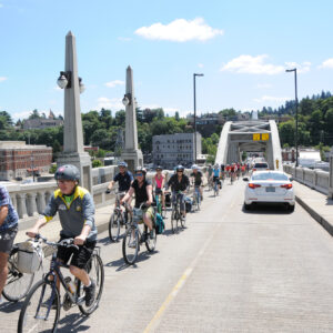
“I want to welcome you to the coolest city, the raddest city on the west wide,” boasted Beaverton Mayor Lacey Beaty to a crowd of about 80 participants from behind wraparound sunglasses on a perfectly sunny morning. “I’ve done policymaker bike rides twice in Portland, and I said, ‘Why don’t you come to the west side?’ And some of the organizers told me, ‘Why? There’s nowhere to ride a bike on the west side.’ And so here we are. Thanks for taking the challenge.”


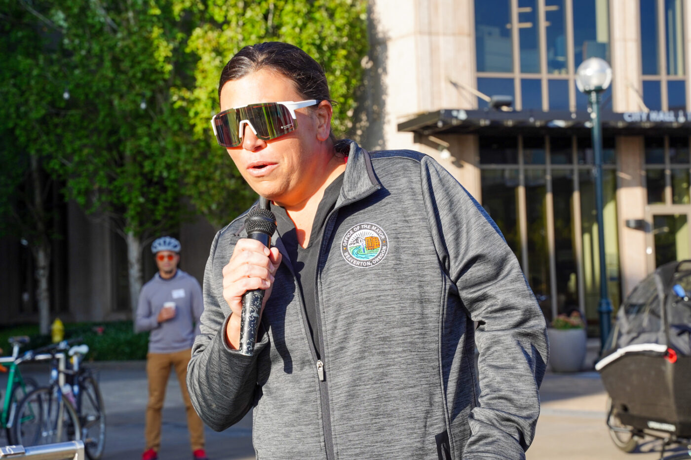
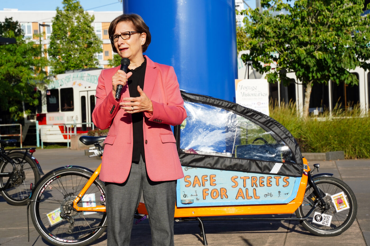
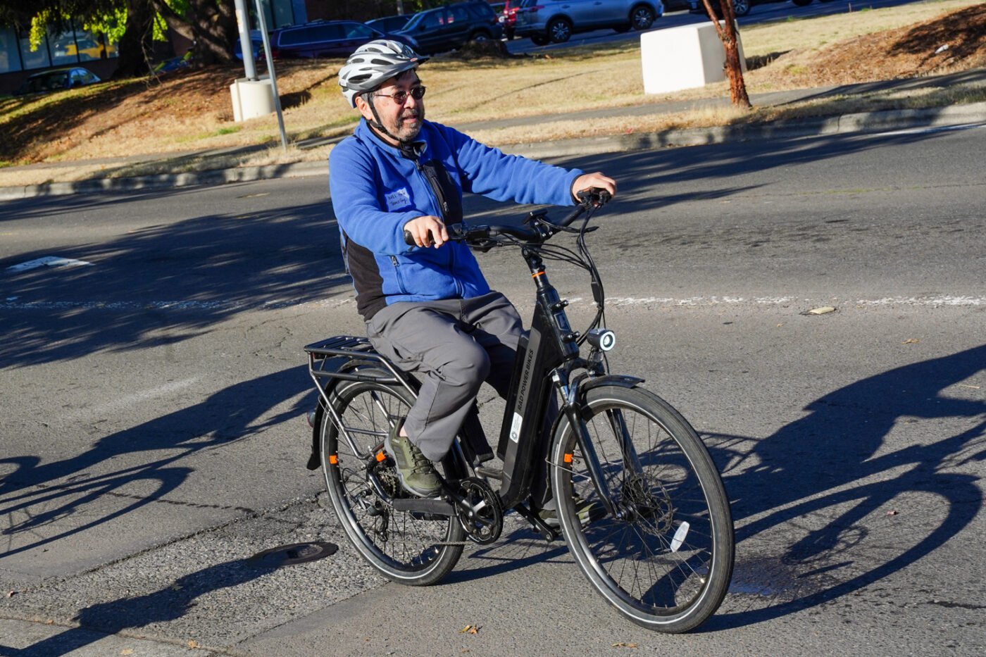
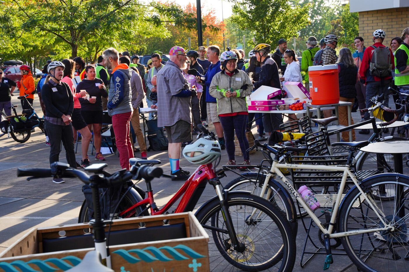
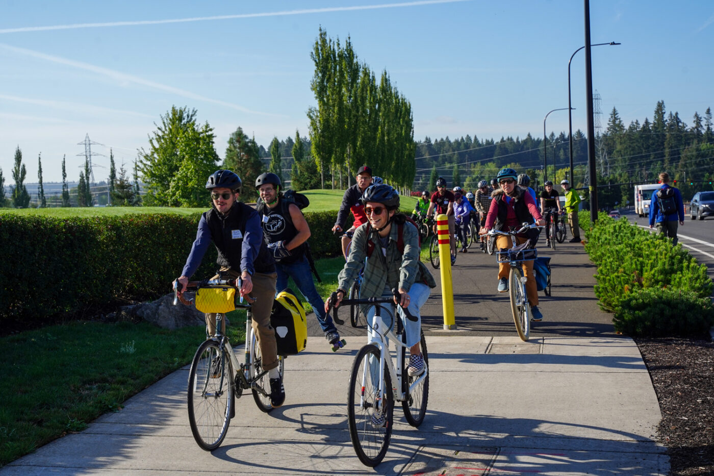
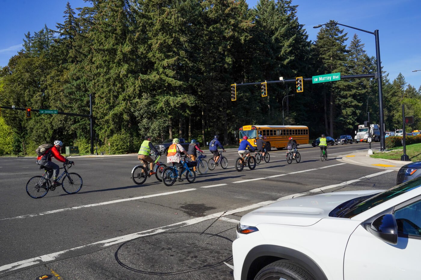


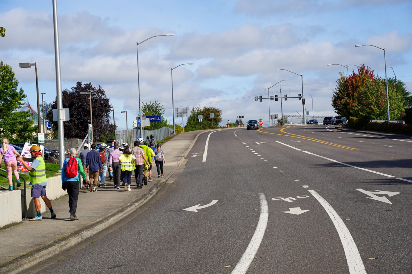
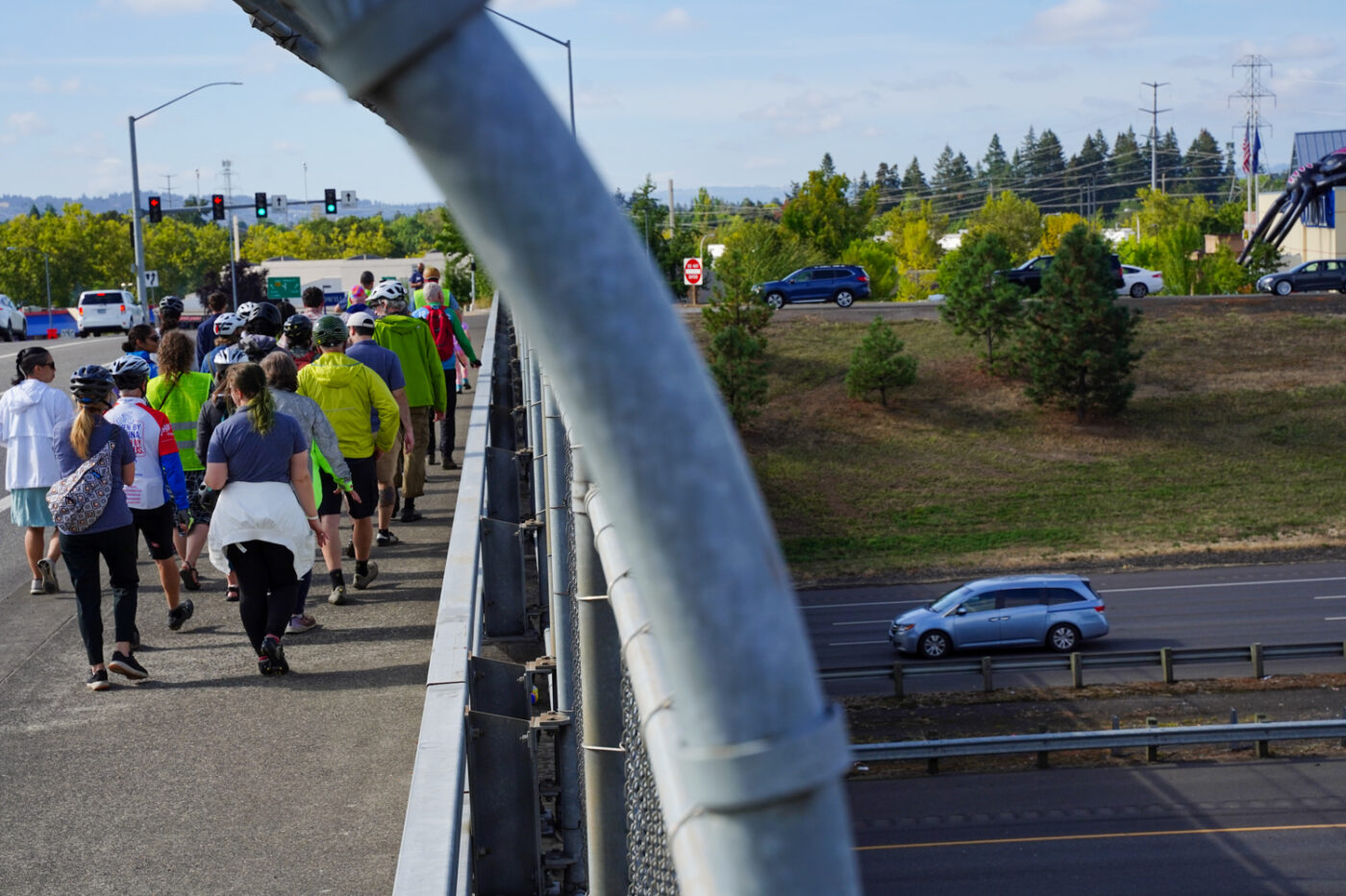
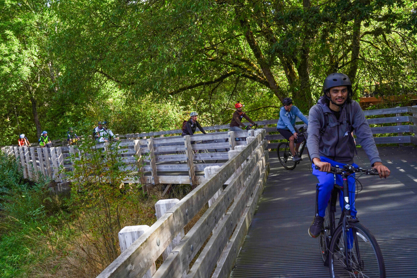


Beaty was just one of the elected officials who turned out. She was joined by Metro President Lynn Peterson, Congresswoman Suzanne Bonamici (she didn’t ride), a staffer from U.S. Senator Jeff Merkley’s office, and Beaverton City Councilor Kevin Teater. Also among the crowd was Portland City Council Candidate Steph Routh and the leaders of nonprofits like Oregon Walks, Verde, BikeLoud PDX, Bike Summer, and many other transportation-related organizations from around the region.
I caught up with Jonathan Nicholas on the ride and asked him what it felt like to be here, 19 years after the first Policymakers Ride. “It feels great to get everyone back out together,” he said. “You know, we spend so much time in our offices, planning things and talking about things and looking at PowerPoint presentations… it’s so much better to just actually get out here with your peers and other folks you’ve heard about, but have never even met and you get on a bike and you actually ride through the infrastructure that we’re all so committed to building.”
The route (above, and here on Ride With GPS) was a mix of chaotic stroads, suburban neighborhood backroads, and carfree paths. We pedaled by Nike World Headquarters up to Highway 26 at Bethany Blvd, and then back south on the Waterhouse Trail to cross Tualatin-Valley Highway and SW Farmington Road. Tualatin Hills Parks & Recreation District (THPRD) and its staff and off-street paths figured prominently all day.
Organizer Noll said the route was a “study of contrasts” between scary suburban streets and lovely trails and cycle tracks. The goal of the day, she added, was to, “Have community leaders and advocates all ride together and have the same experience of both experiencing inspiring infrastructure and experiencing the difficult gaps — and hopefully building that culture of collaboration for how we can can move forward to build the communities that people deserve.”
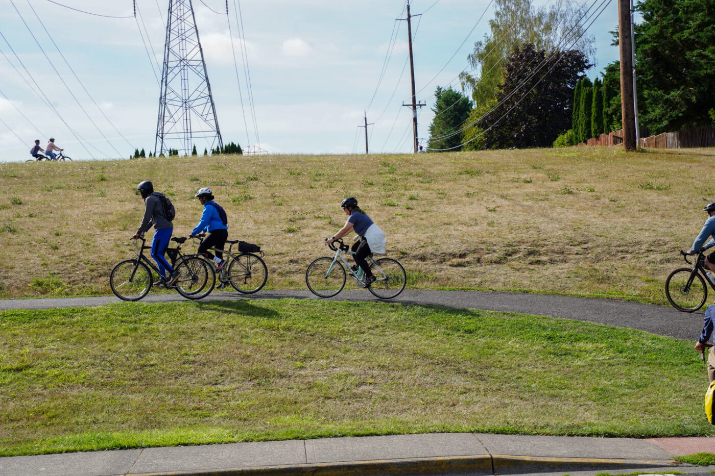
After a short address from Congresswoman Bonamici, we rolled out from central Beaverton. The route took us west on SW Jenkins where we hugged a buffered bike lane on a busy road until we picked up the Westside Trail (which felt more like a glorified sidewalk) at SW 158th. According to THPRD Planner Gery Keck, once completed, the Westside Trail will be 25 miles long and connect King City to Portland. Of the 10 miles in THPRD, eight are already built.
The trail soon gave way to an unexpected, tree-lined path inside the Howard M. Terpenning Recreation Complex, where we stopped for a short break.
We then hopped onto the Waterhouse Trail, another jewel in the THPRD crown. It’s a 10-mile paved path that stretches from Tualatin Hills Nature Park (near SW Jenkins Rd), north across Highway 26 to PCC Rock Creek. But there’s one huge gap, and in a parking lot in an industrial park just off the trail about a block from Highway 26 at Bethany Blvd, we heard a presentation about that gap from BikePortland contributor and independent advocate Tina Ricks. (You’ll recall two years ago, I met Tina at this same location and did a video about it.) Ricks shared every maddening detail of the dangerous gap — from the confusing, overlapping jurisdictions; to the terrible behavior of many drivers and the very car-centric road designs.
Up next was a brief chat from a THPRD planner about the exciting Westside Trail Bridge project that will build a crossing of Highway 26 just a bit east of Bethany Blvd. That’s a “fantastic plan,” Ricks shared during her presentation. “But it is realistically at least five to ten years in the future*. This crossing on Bethany is the best bike crossing we have, for now, but it needs some help.”
[*THPRD says construction of the $28-35 million bridge could be finished by 2030 if funding is acquired soon.]
After her talk, Ricks led a large group of riders on foot (because it was deemed too dangerous to bike!) to see the gap first-hand. As we negotiated through windshields with drivers in a slip lane and felt the roar of the freeway, I think Ricks’ message or urgency finally sunk in.
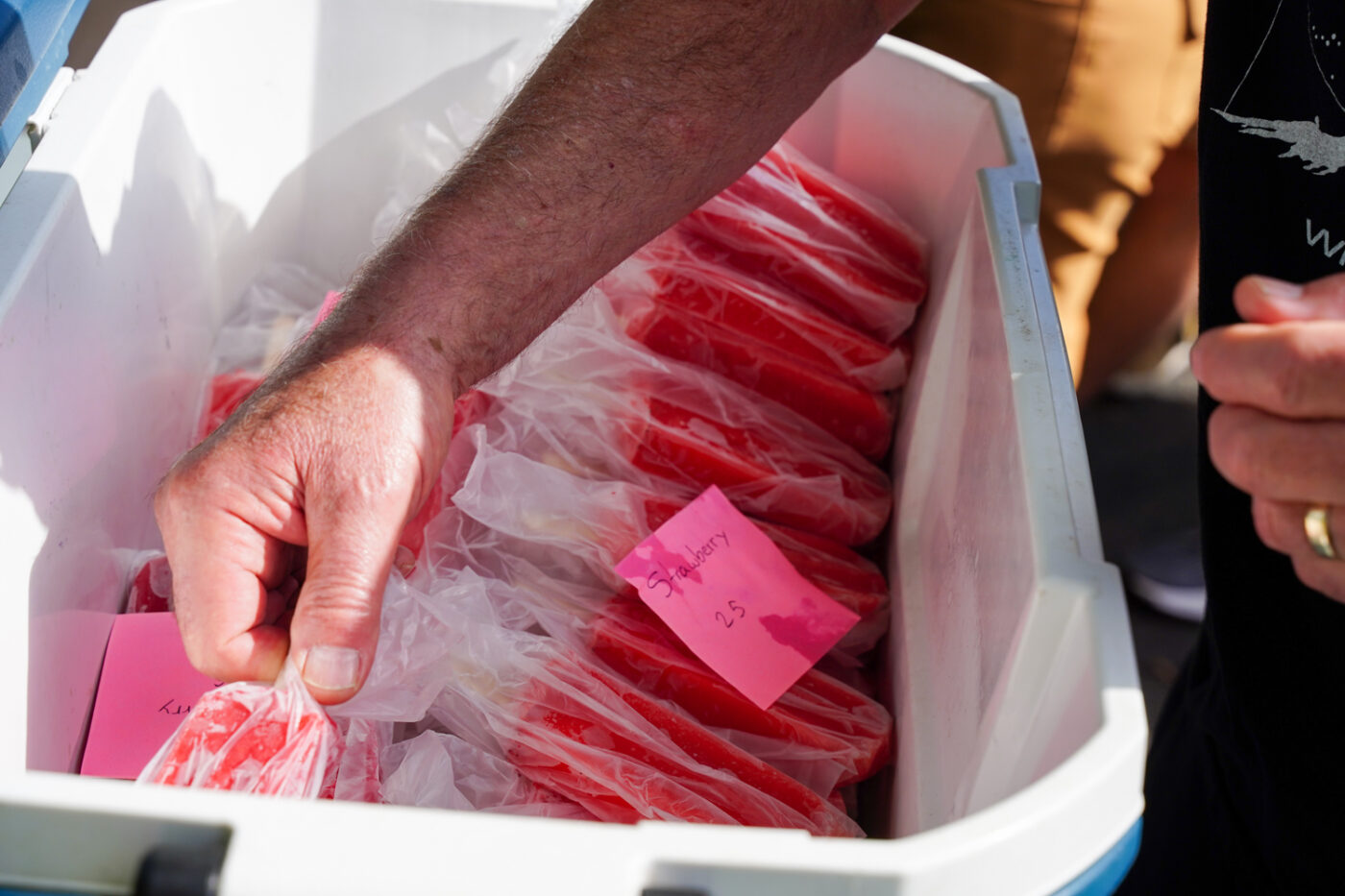
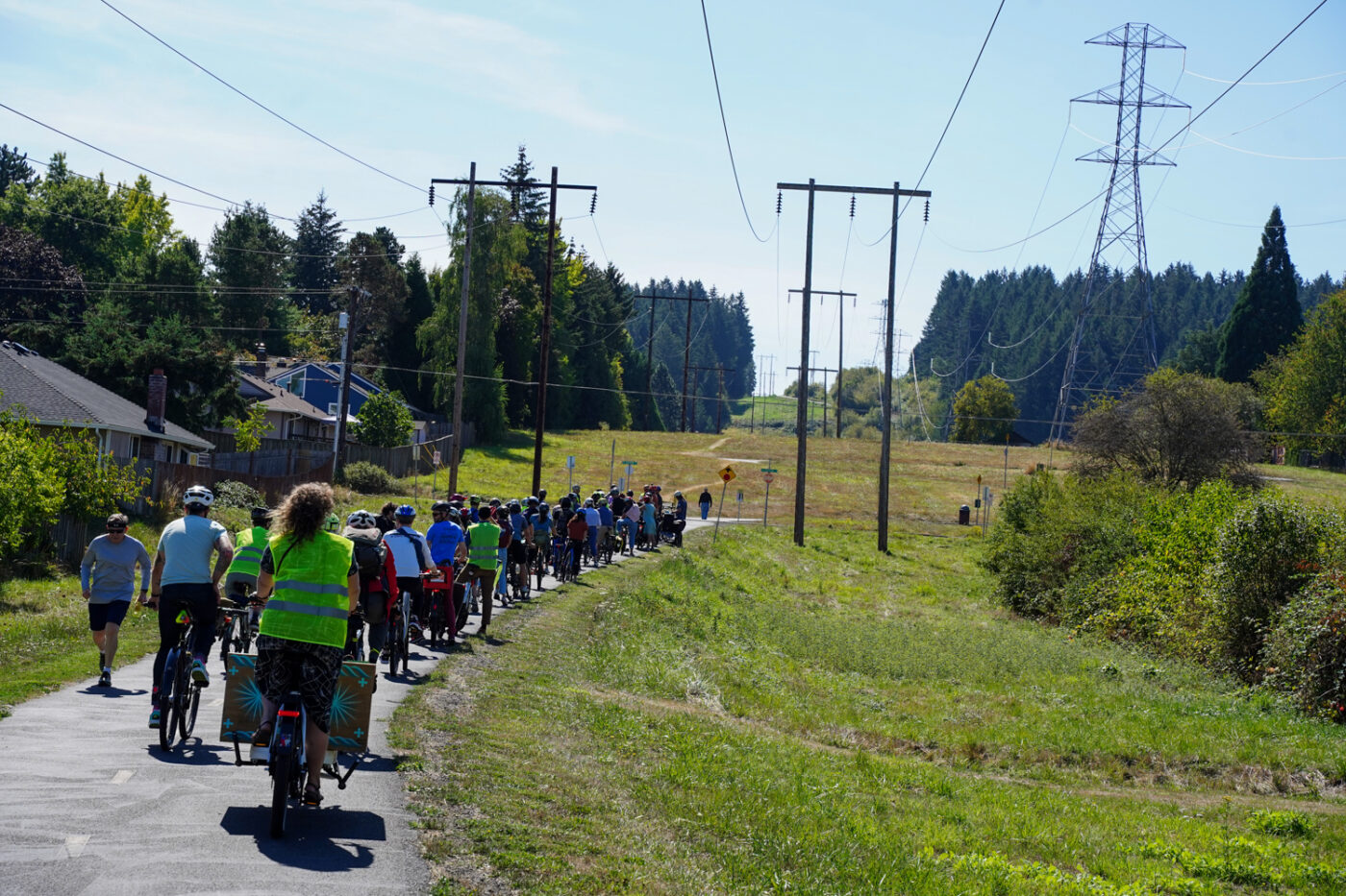
As the sun gained strength we made our way back to our bikes and saddled up with a rumor of fruity Mexican popsicles at our next stop floating around. We had a three mile ride on the Waterhouse and Westside trails to the Tualatin Hills Nature Center in front of us.
This section of the Waterhouse Trail (between NW Bethany Ct and Jenkins) is quiet and carfree, but the quality of ride isn’t exactly what the region is striving for. The street crossings are disrespectful of bicycle travelers and there are steep, sharp corners to navigate. According to THPRD Nature & Trails Manager Bruce Barbarasch, (who I finally met on this ride after seeing his name pop up many times over the years) that’s because it was built by different developers.
“It’s kind of fun, it’s kind of funky,” Barbarasch said. “In the long-term we’d love to get it to meet trail standards so it’s accessible to the whole community… If we built that today, we would have made really gentle back and forth turns to get over or through some of those humps.”

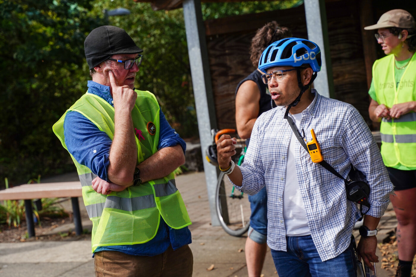

In addition to getting existing trails up to standards, a big issue on the west side is how to balance recreation, transportation, and natural area conservation. THPRD Board Director Felicita Monteblanco welcomed us to the Tualatin Hills Nature Park, a 220-acre preserve of wetlands, forest and streams teaming with newts and birds and all manner of habitats. With bikes parked near a lush meadow of reeds, Monteblanco urged riders to keep in mind, “How goals of connectivity can combine both wildlife and human uses of these places.”
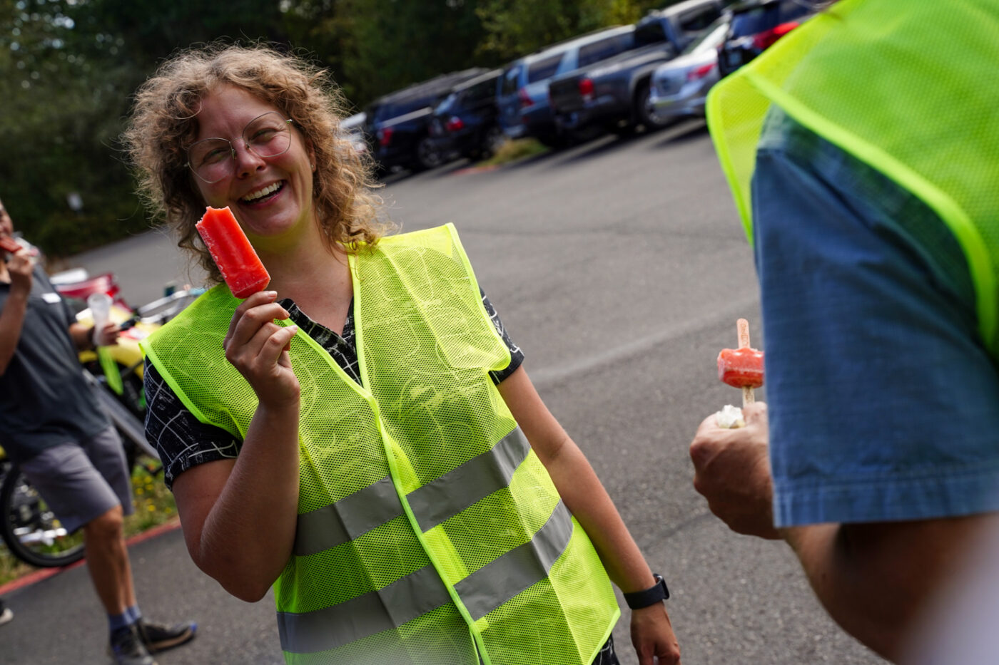
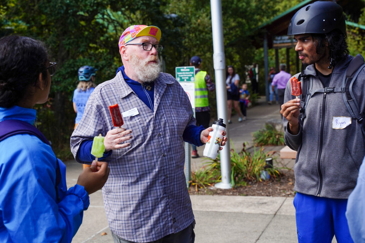
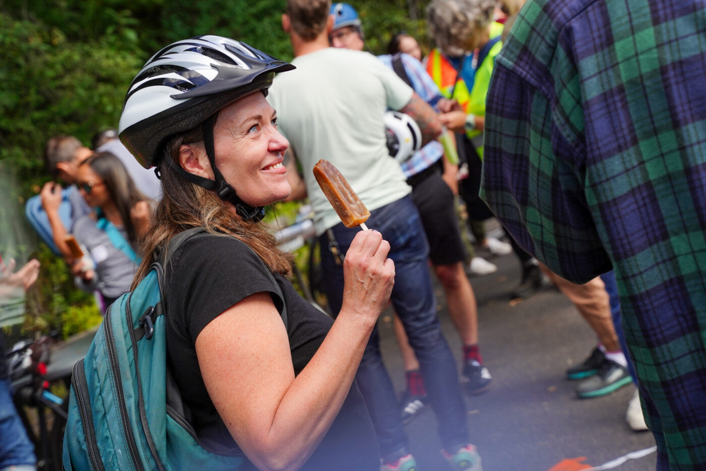
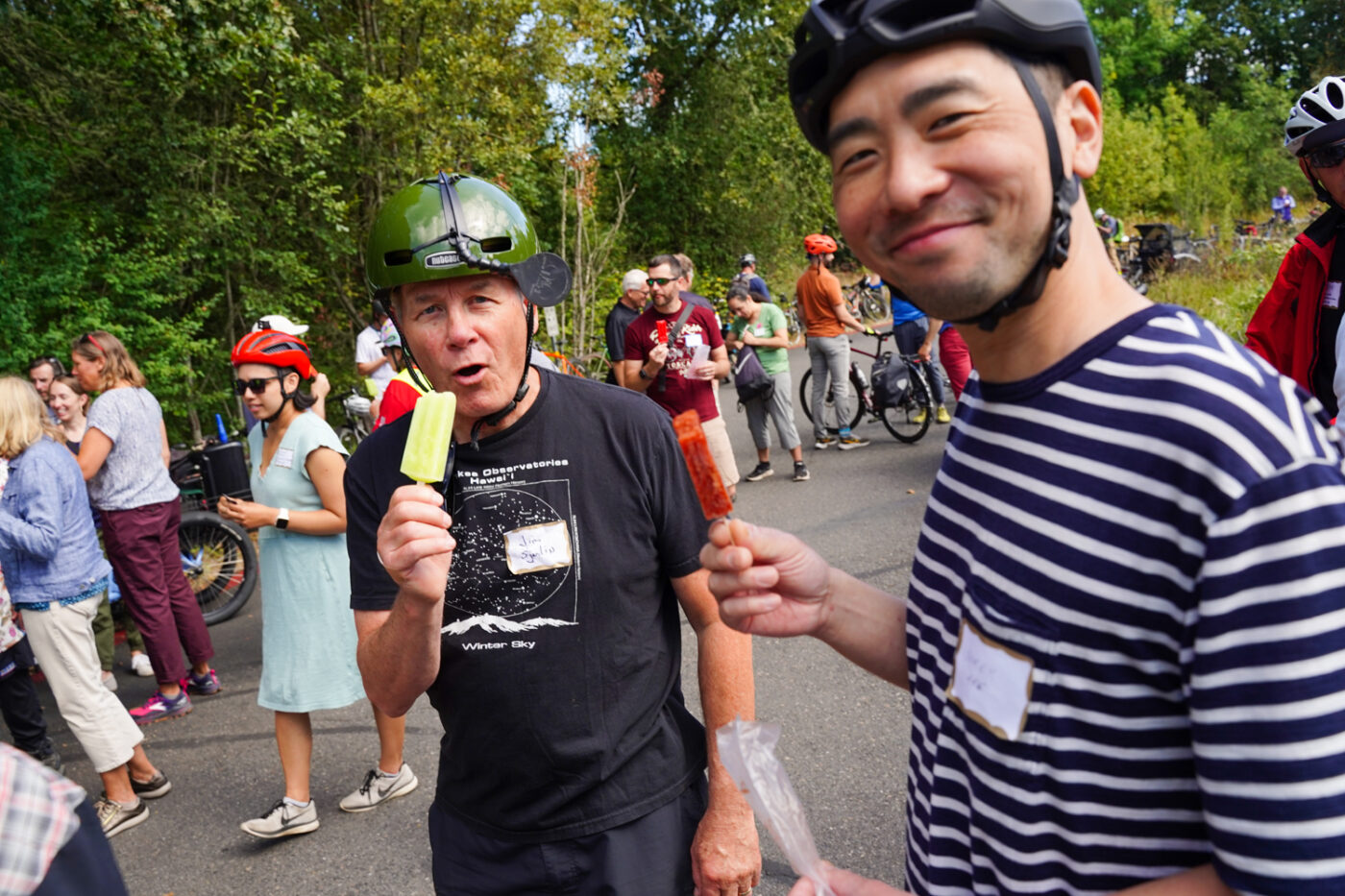
Then it was time for popsicles — a perfect treat to spur low-stress conversations. I roamed around and watched people from all walks of this planning, political and advocacy ecosystem interact productively with each other.
After we had our fill of frozen fruit, we continued south on the Westside Trail where we experienced two of the worst elements of west side cycling: crossing major roads.

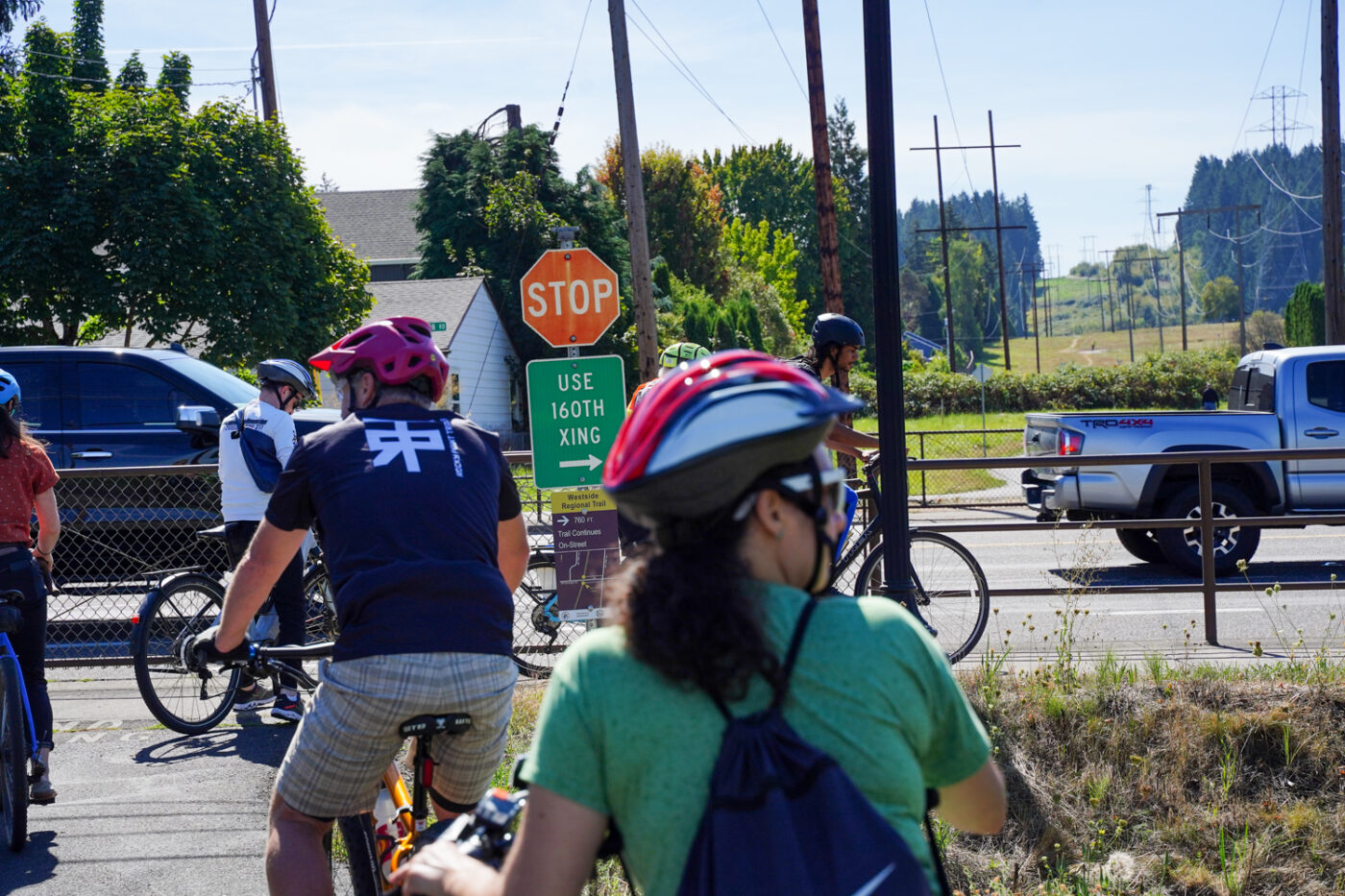
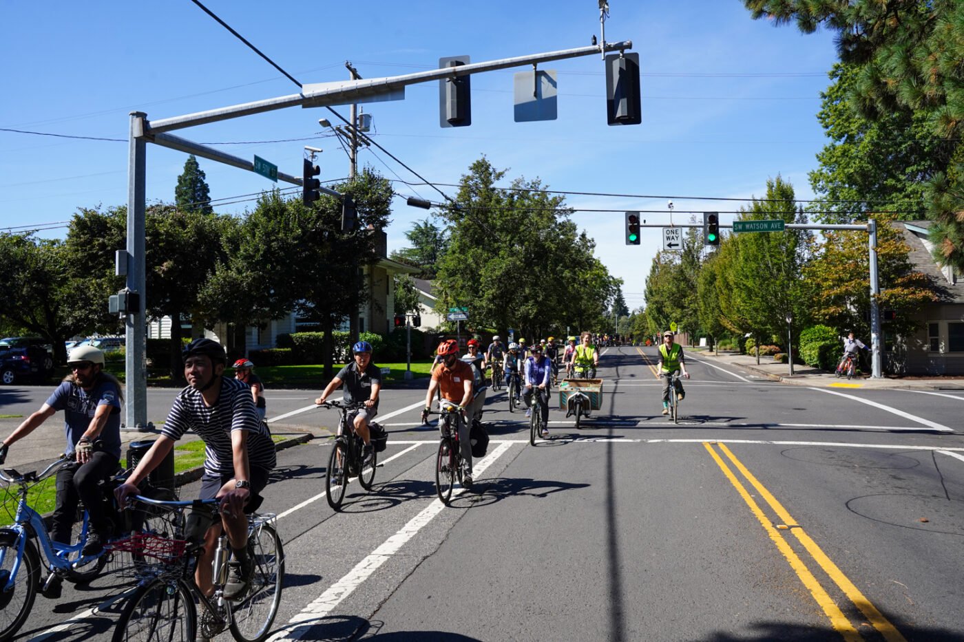

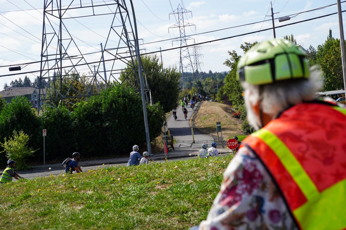
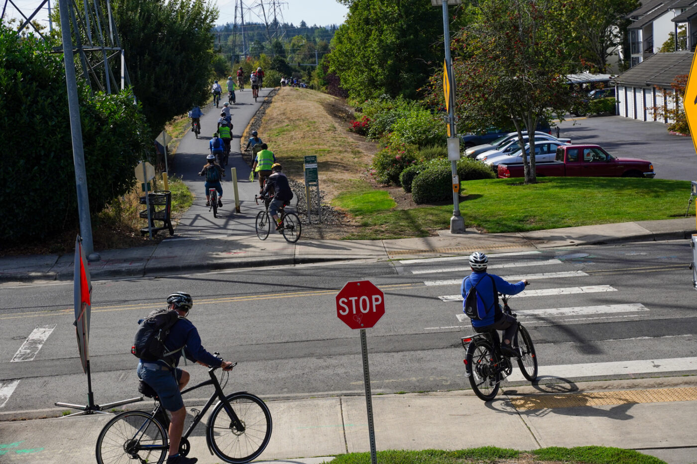
I could tell ride leaders were nervous about getting this large group across Tualatin-Valley Highway, one of the deadliest roads in Oregon with a disturbing history of crashes. They stopped for a safety talk beforehand and had monitors in hi-viz vests in the crosswalk as they waved platoons of people across each green signal cycle. All this as drivers roared by like we had no business even being there. Oh the indignity!
The next crossing to make my blood boil was SW Farmington a few tenths of a mile south of TV Hwy. The Westside Trail is gated off at Farmington and you’re forced to cross at a signal at SW 160th, which is about 300 feet to the west. In total, trail users have to go about 800 feet out of direction just to cross this road.
I hope all the policymakers and bigwigs on this trip remember locations like these when it comes time to talk about priorities and project funding.
Safely across those roads, we wove through neighborhoods back to Beaverton for a stop in front of the library. That was the end of the journey for me and a lot of other folks, who opted to roll over to a food cart pod and call it a day.
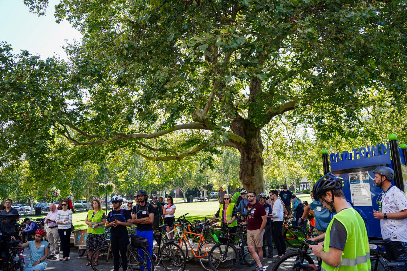
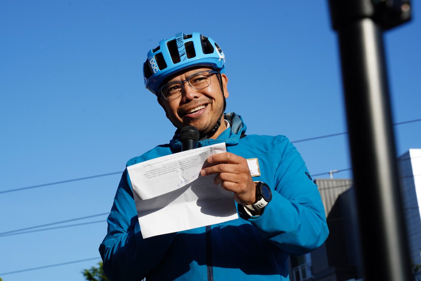
Before we went separate ways Metro Accessibility Advocate and ride emcee Will Cortez (who’s also one of the founders of BikePOC PNW) gave us one last bit of inspiration. Cortez likened the ride to foraging for mushrooms with friends. “You go out in a group, pick them, and come back together to make food with them,” he shared as we stood under shade of the impressive sycamore tree in front of the library. “So what will you do after you leave this space today? What will you do with what you foraged today?”
Hopefully, all this networking by bike will soon lead to a stronger network for bikes.



Thanks for reading.
BikePortland has served this community with independent community journalism since 2005. We rely on subscriptions from readers like you to survive. Your financial support is vital in keeping this valuable resource alive and well.
Please subscribe today to strengthen and expand our work.
I am really happy to read this, and to see Will C. (and I think I see an Andy in the lead photo) involved. Beaverton seems to be on the right path, though there is much to do. My hope as a daily bike commuter is to see improvements in connectivity and continual maintenance of bike lanes. Hitting dead raccoons and huge pine cones in the dark sucks. My hope as a father is that we can see continued improvements to make family outings even easier by bike. My hope as a mountain biker is that improvements in those facets of cycling will lead to some actual off-road trails being built somewhere (anywhere!) in the city that we can access by bike.
I appreciate all of the work being done on our behalf. Thank you.
>“It’s kind of fun, it’s kind of funky,” Barbarasch said.
With all due respect to Mr. Barbarasch, I don’t find unsafe trail sections to be fun. I don’t have a cargo bike or a trailer, but I don’t think anyone using one would think “This is fun” while struggling to navigate through. Heck, some of the older trail sections probably don’t even meet ADA standards. There are certainly some road crossings that don’t have curb cuts.
Credit where it’s due, THPRD has been building excellent trails in recent years, but they have a long list of existing trails that need to be brought up to a higher standard. Washington County, ODOT, and Beaverton need to actually step up and make safer crossings for these trails as well.
Glad to see folks like Tina banging on this drum.
Replying to my own comment to add: I had a chance to watch the video that Johnathan posted.
I’m happy to hear that there are plans to improve the way finding for the trail gap along SW 160th between TV HWY and Blanton. This is already a glaringly obvious gap in our system, that might only become more disappointing if nothing changes soon. Washington County is planning on making East/West improvements in the Aloha area using Blanton. Additionally, Metro and TriMet are working on turning the 57 line into an FX line (similar to FX2 on Division).
How great would it be if we could get a little money to actually connect all of these things. The trail gap, the new bikeway on Blanton, the unsafe crossing of TV Hwy, a new transit project. Come on, someone has to have some funding to make this happen.
That Farmington Crossing is just unbelievable to me. Not that hard to solve, but WashCo just doesn’t seem to care?
Couldn’t agree more! I was just editing a clip of that in the video I’m uploading right now. It’s so disrespectful.
It’s part of my commute and easily the biggest PITA crossing I encounter. I prefer to go mid-block and use the center lane to “Frogger” across Farmington.
It looks like the gates are there for the utility company to access the power lines. In my opinion the best solution there would probably be an underpass with gently sloping approaches.
Beaverton deserves much better cycling infrastructure than it has! Getting to (now every 7.5 minute service) MAX on bike is pretty quick in a big chunk of Beaverton. Let’s open up that accessibility, especially as infill development happens.
Aloha all, hey its GREAT to see that the Policy Makers Ride is back in person to see “The Good The Bad & The Ugly” of active transportation facilities in the Vancouver-Portland Metro region after the Zoom-era hiatus.
Its almost hard to believe (personally) sitting in on this event’s planning meetings 20+ years ago..that we would still be pedaling along finding “the bad” and getting more and more policy makers on a bike. [Great traction and adoption of this type of ride by other regions.] And even better to see that Mel is still pedaling along!
PS> Hey Jonathan [Nicholas] add me back on the ride list as I am back from Honolulu and working for a state D-o-T.