(Photos: J. Maus/BikePortland)
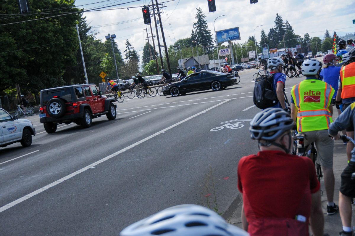
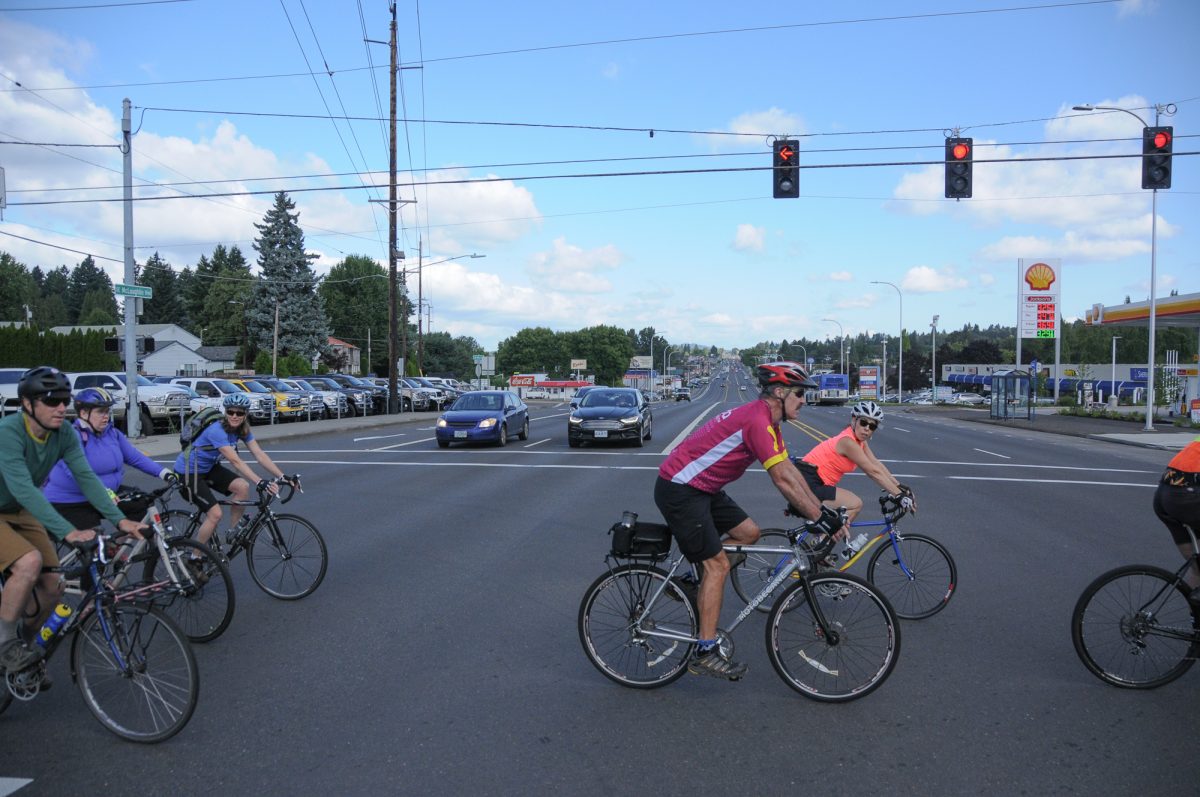
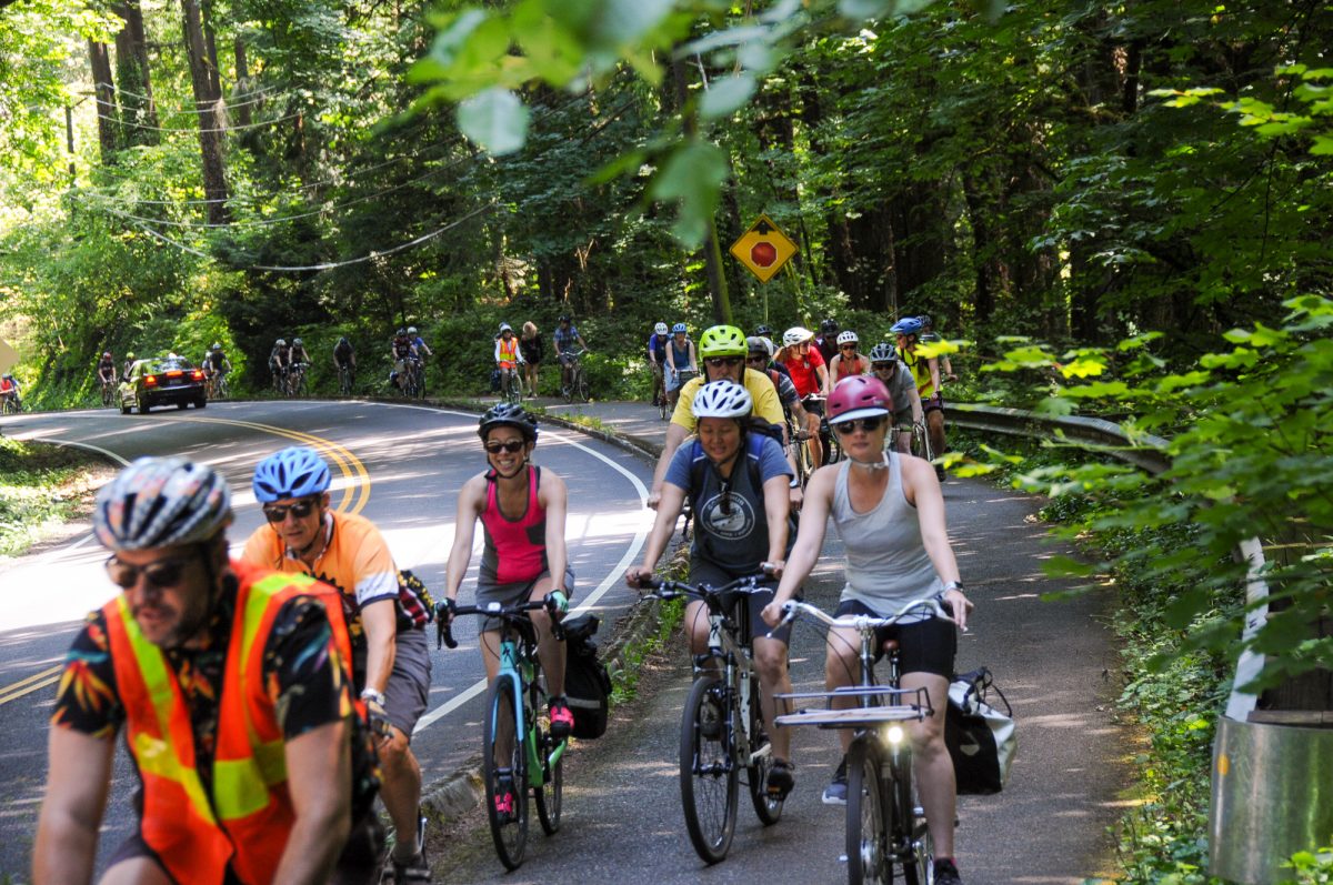
Elected officials, planning consultants, insiders and agency staffers will never understand the needs of our regional bikeway network unless they get on a bike and experience it for themselves. That’s the idea behind the invite-only Policymakers Ride (a.k.a. Voyage of the Visionaries) which embarked on its 15th annual journey last Friday.
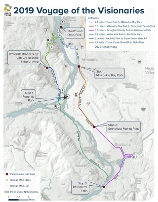
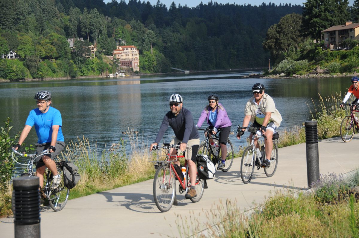
The route began in Sellwood and traveled south to Oregon City before returning to Portland. It was organized by The Intertwine, a coalition of over 150 organizations working to “integrate nature more deeply” into the metro area. Formerly known as Connecting Green, the Intertwine was launched in 2009 by former Metro President David Bragdon. Since then, the Policymakers Ride has become its annual showcase as it aims to highlight parks and natural areas around the region — and the paths, trails, bridges and bikeways needed to connect them all.
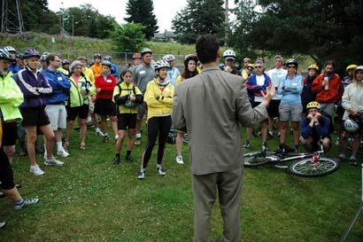
“We’ll see many beautiful places today,” ride co-founder Jonathan Nicholas beamed to the 100 or so people who had gathered at Oaks Park for the start, “And then later we’ll throw you into a bag of horrors and show you what happens when there are gaps in the system.”
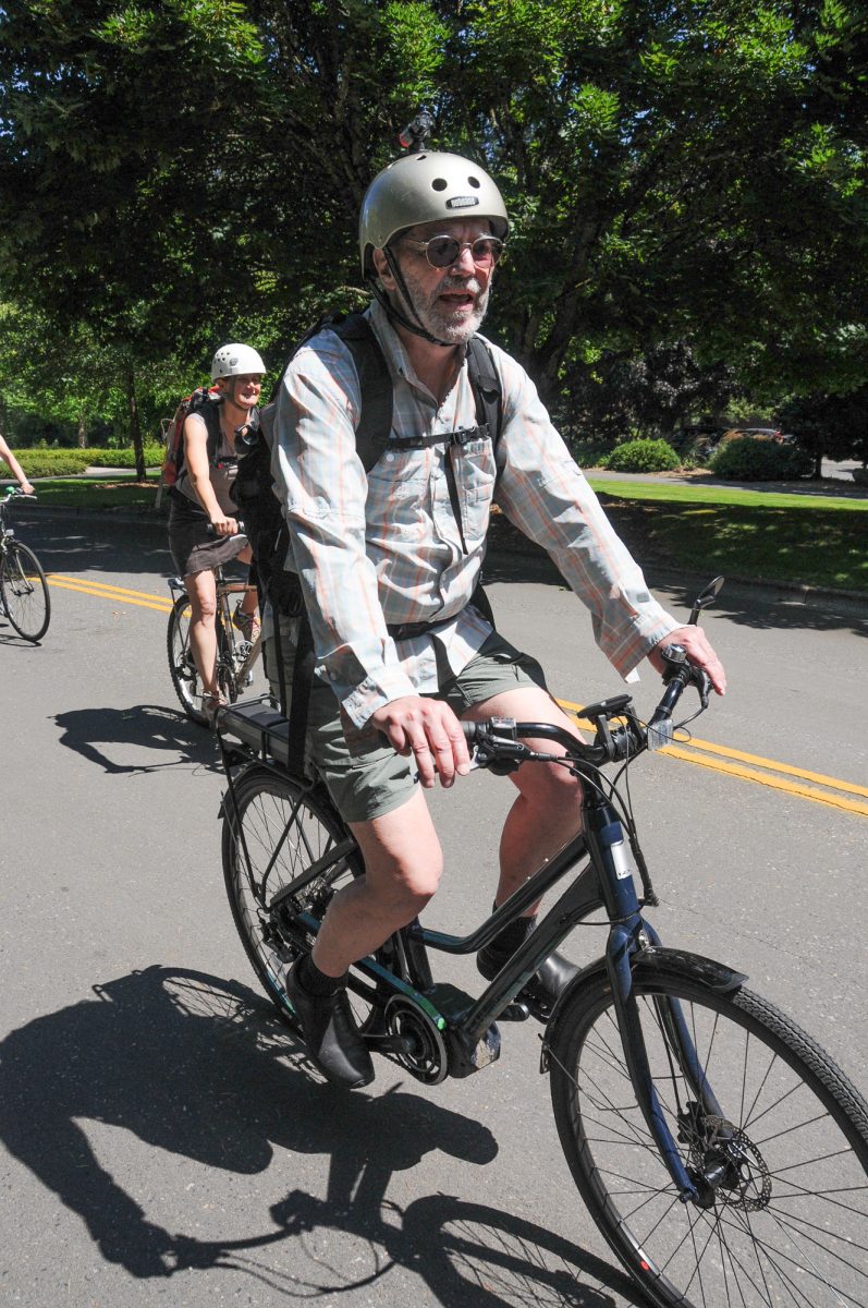
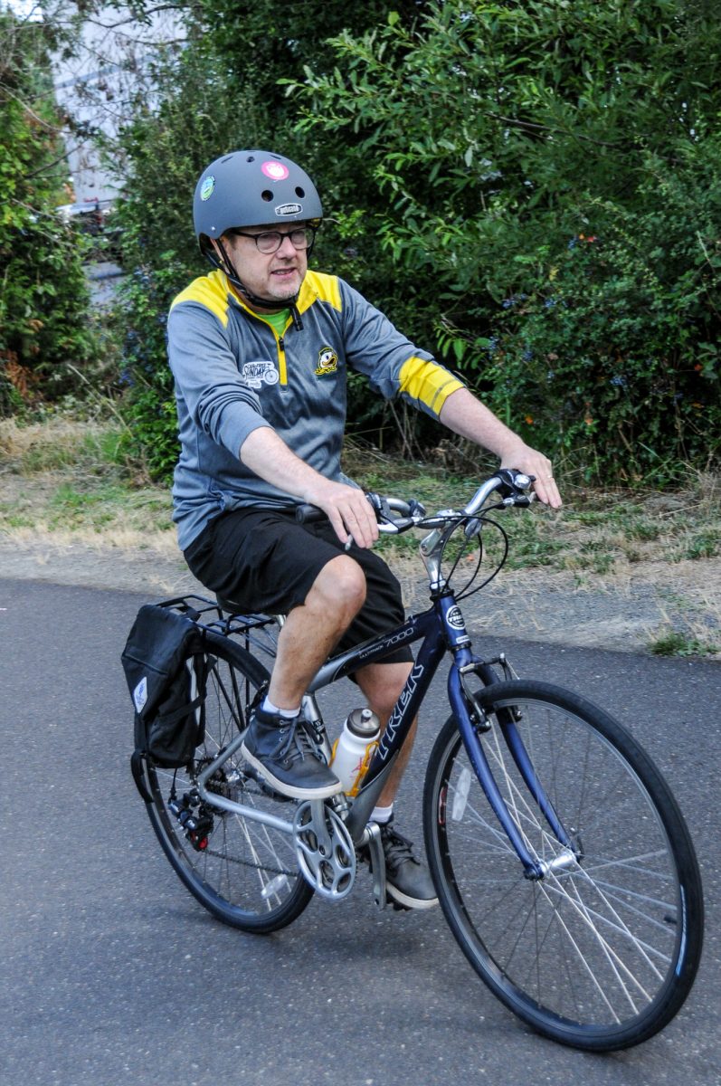
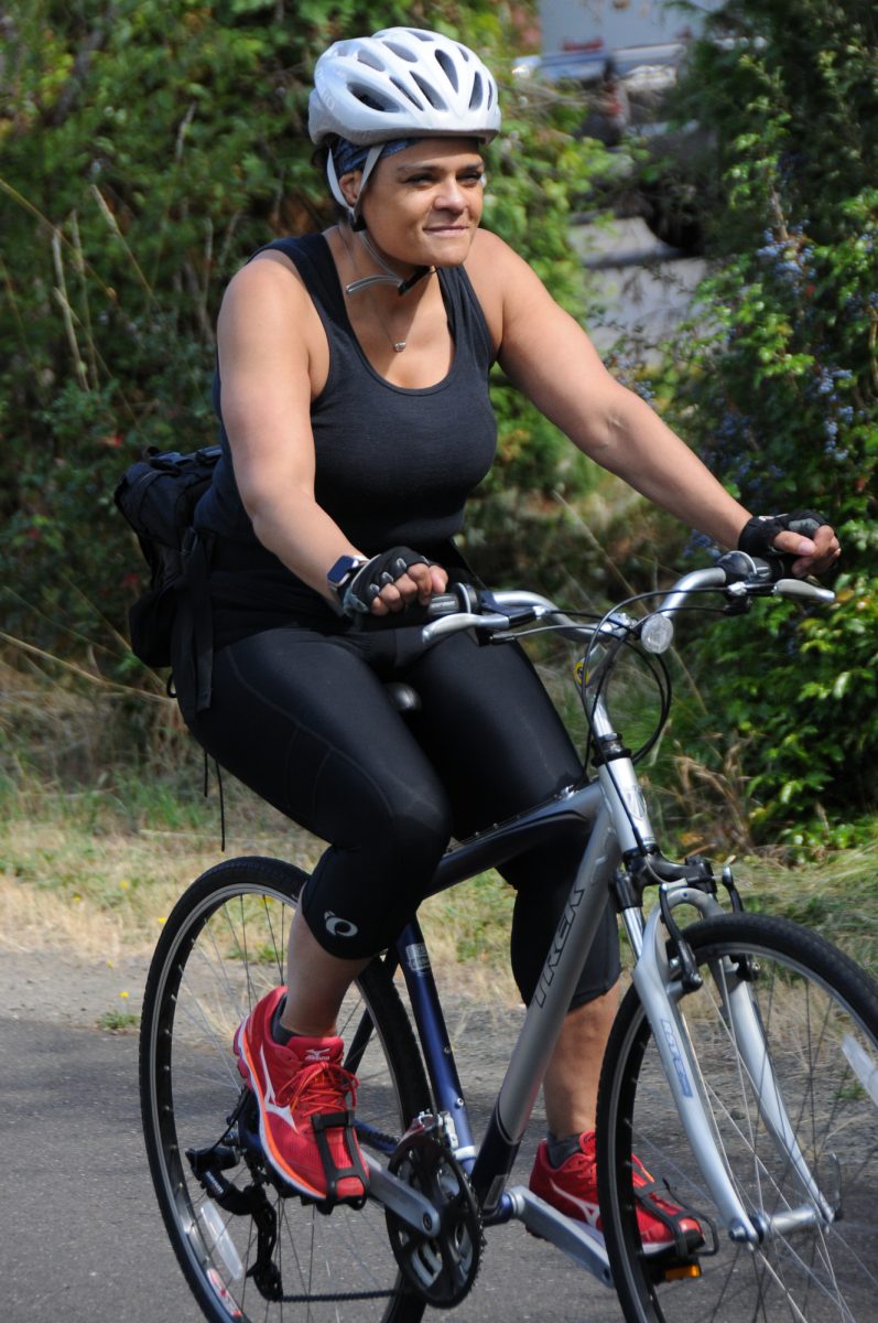
True to its name, faces in the crowd included movers-and-shakers from a host of regional agencies and organizations: New Portland Parks & Recreation Director Adena Long was on her bike for the first time in years; Portland Bureau of Transportation Director Chris Warner pedaled on a Trek hybrid; Metro Councilors Bob Stacey and Shirley Craddick zipped around on e-bikes; and their boss, Metro President Lynn Peterson, donned a full kit of spandex. Milwaukie Mayor Mark Gamba wore a “Go By Bike” t-shirt and former Portland Mayor Bud Clark showed off his new and modern-looking GoCycle e-bike.
The route made four stops and riders heard remarks from a list of speakers at each one.
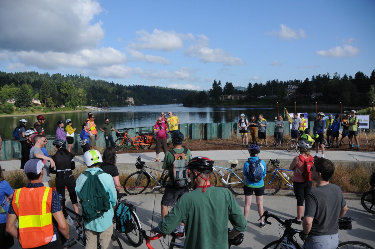
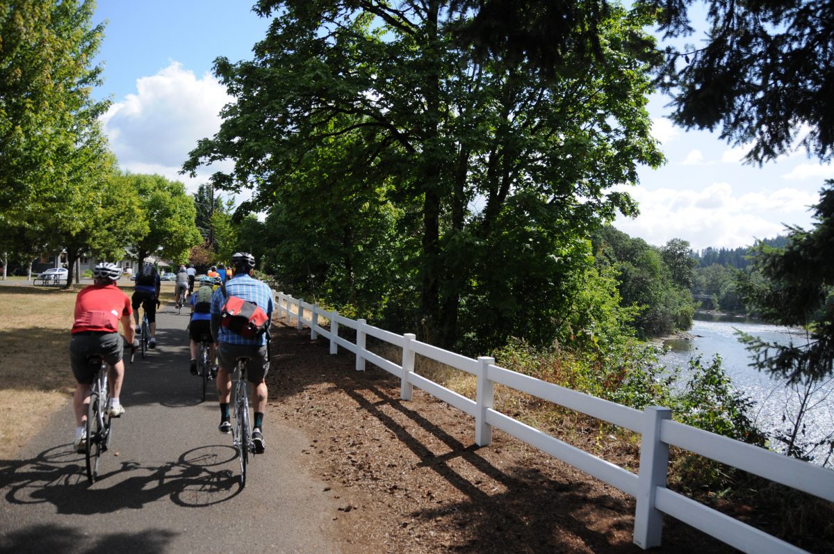
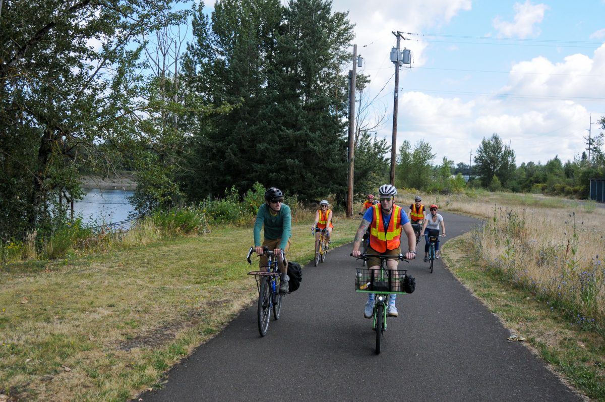
The first stop of the day was Milwaukie Bay Park. This gem of a riverfront park is very easy to bike to from Sellwood. With the recent extension of the Springwater Corridor and the 17th Avenue path, you can ride nearly carfree for over five miles between the start of the Springwater (near OMSI) to Milwaukie. “It’s only about 12 minutes from Portland to here,” PBOT Director Chris Warner said in a short speech. “And I don’t think a lot of Portlanders know that.”
Advertisement
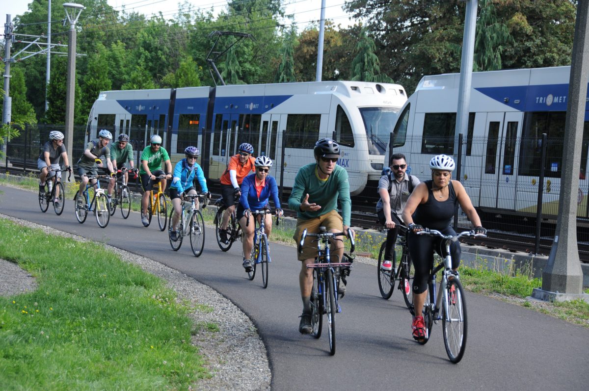
From Milwaukie we continued south on the Trolley Trail toward Oregon City. Our second stop was at the often-overlooked Stringfield Family Park. I’ve stopped here several times to get water and use the restroom; but had no idea the park offers a path that loops around a natural area with undisturbed views of Boardman Creek.
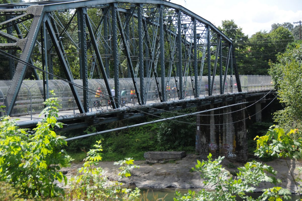
We were jostled out of dreamland and into reality when we crossed the busy McLoughlin Boulevard (Hwy 99E) en route to Gladstone and the Clackamas River Trail. Ride organizers pulled strings so we could cross the carfree 82nd Drive Bridge (which is usually closed weekdays for repairs).
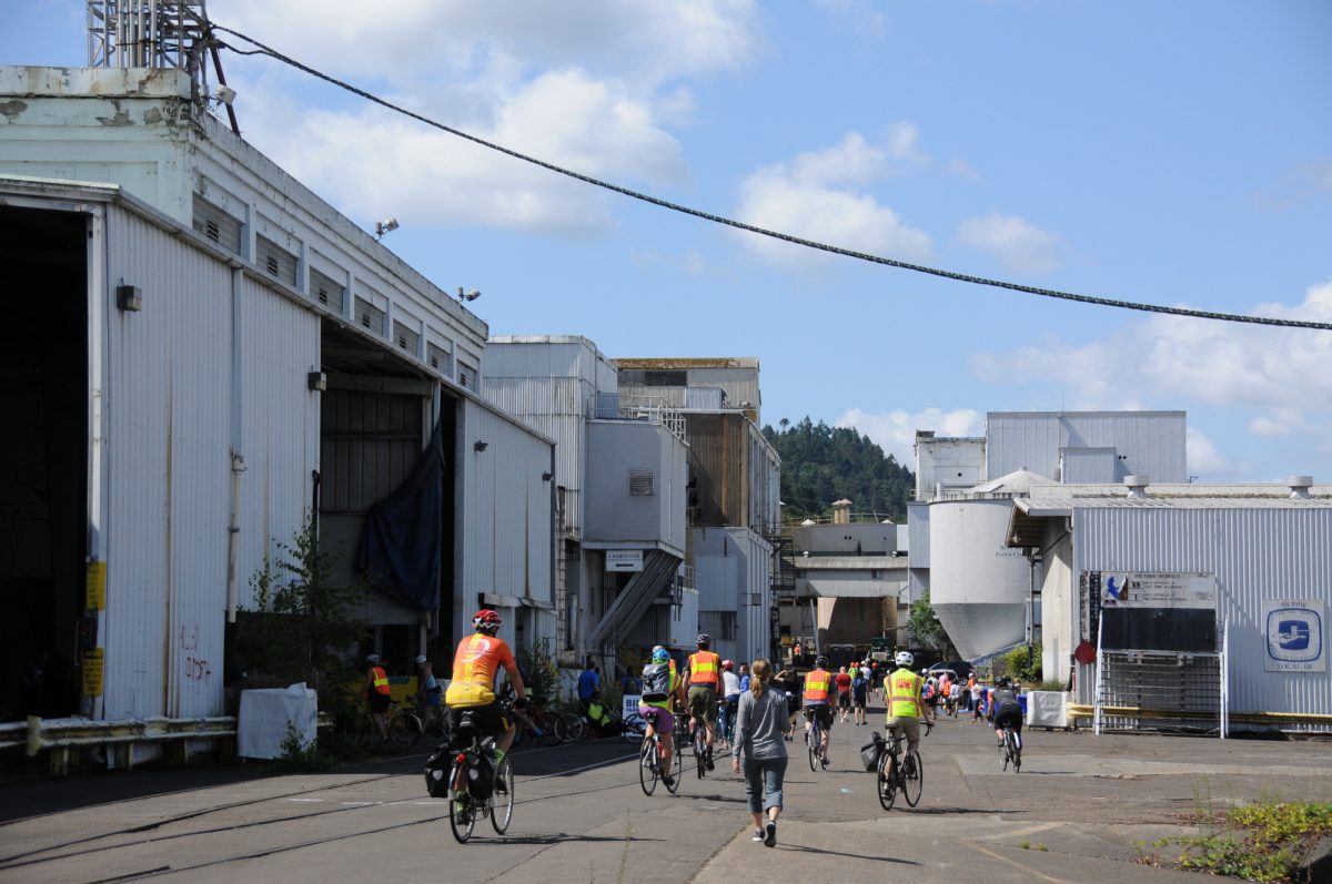
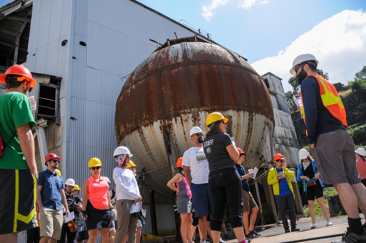
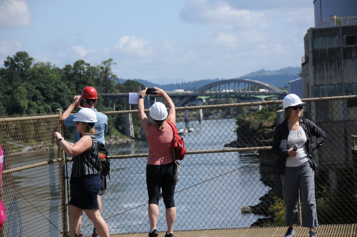
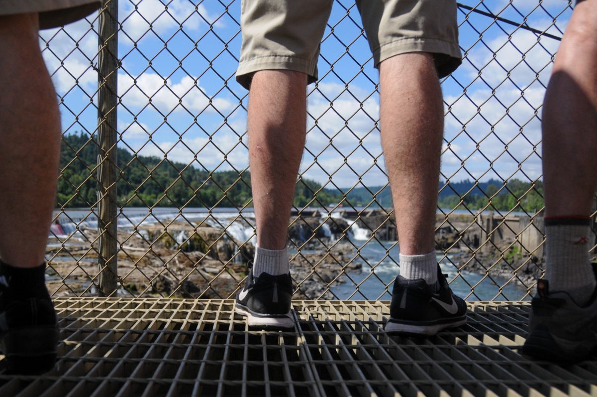
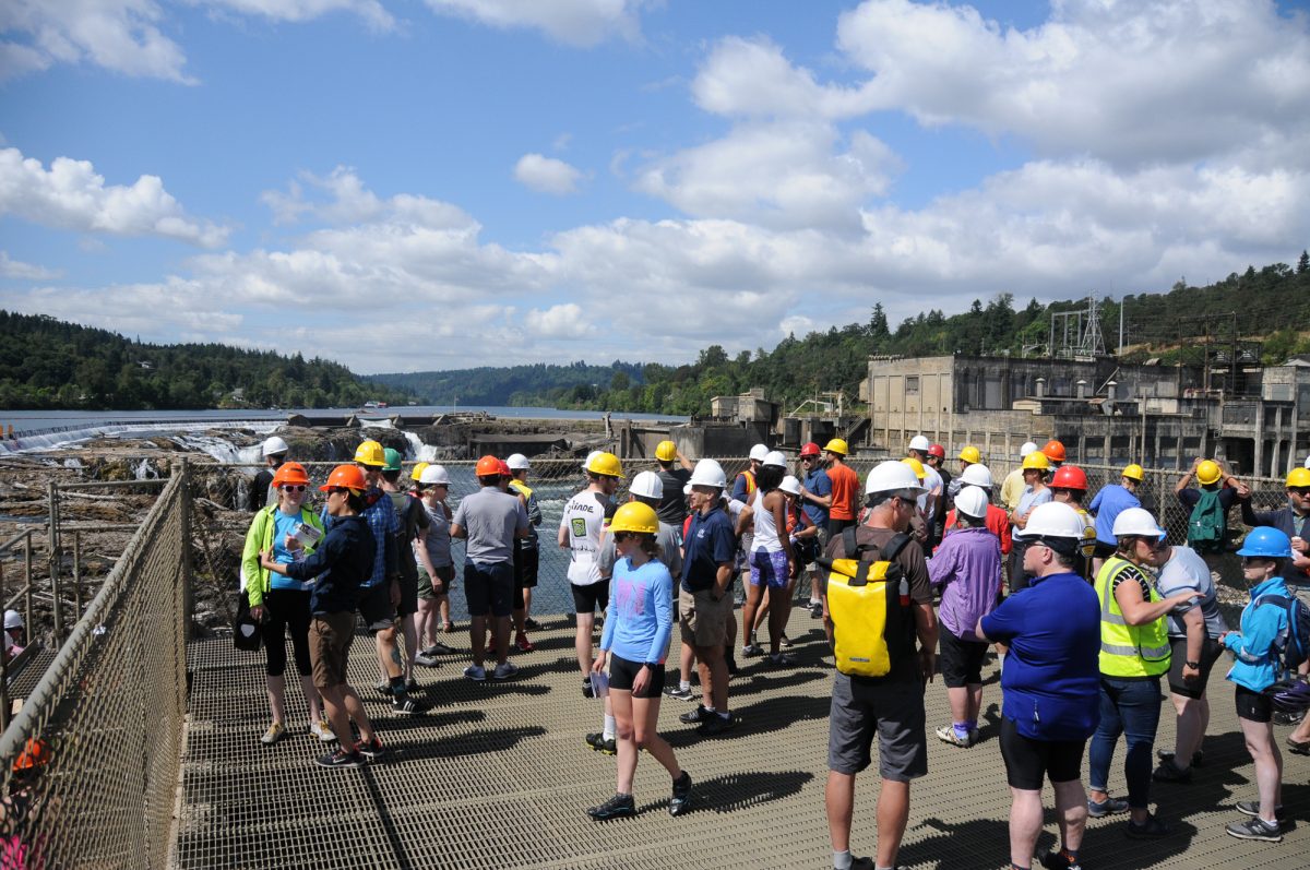
The most anticipated destination of the ride was a tour of Willamette Falls in Oregon City. Sacred to many native tribes as a year-round fishing site, it was developed by white settlers in the mid 19th century. Waves of industrial uses including hydro-electric power generation and paper mills were active at the falls for over 100 years with the last mill closing just a few years ago. Acres of industrial buildings are now derelict.
After a walk out to the viewpoint we peeked inside creepy old warehouses that served as backdrops to seven episodes of the Grimm TV series. We had lunch near the foundation of one of Oregon’s first houses owned by John McLoughlin (often referred to as the “Father of Oregon”) that’s now covered by a massive paper-drying kiln. The Willamette Falls Legacy Project wants to restore this lost history and revive the 50-acre site with a series of public plazas and riverwalks. Construction on the first phase is set to begin next year.
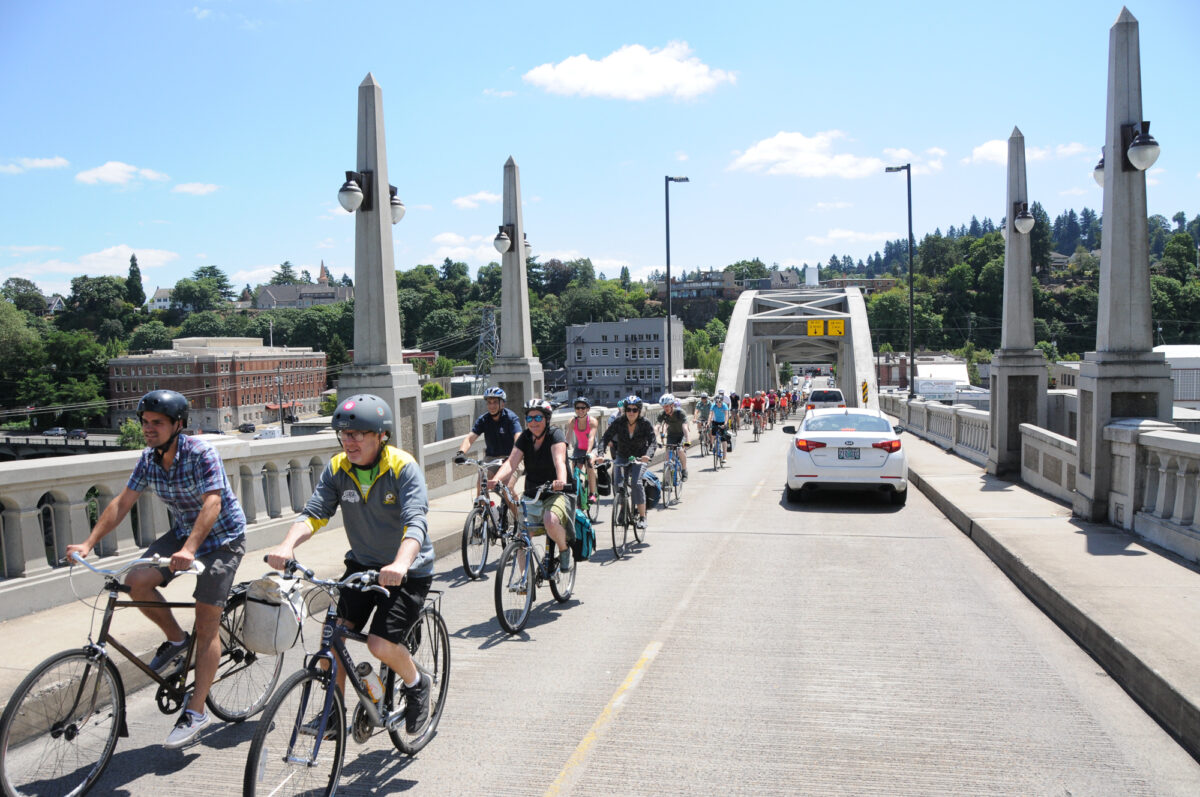
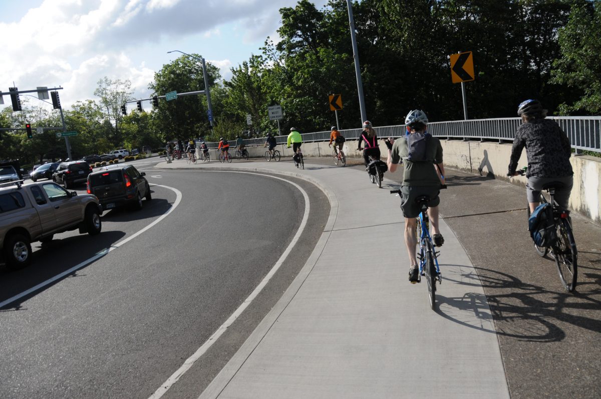
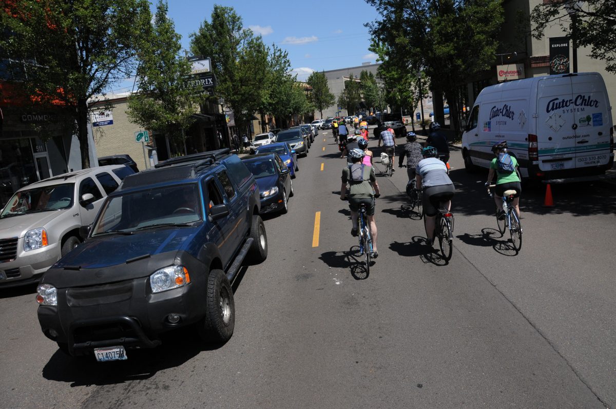
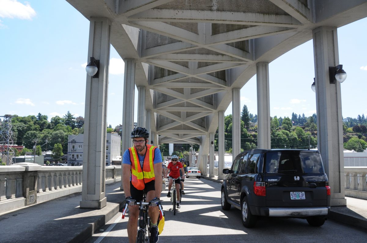
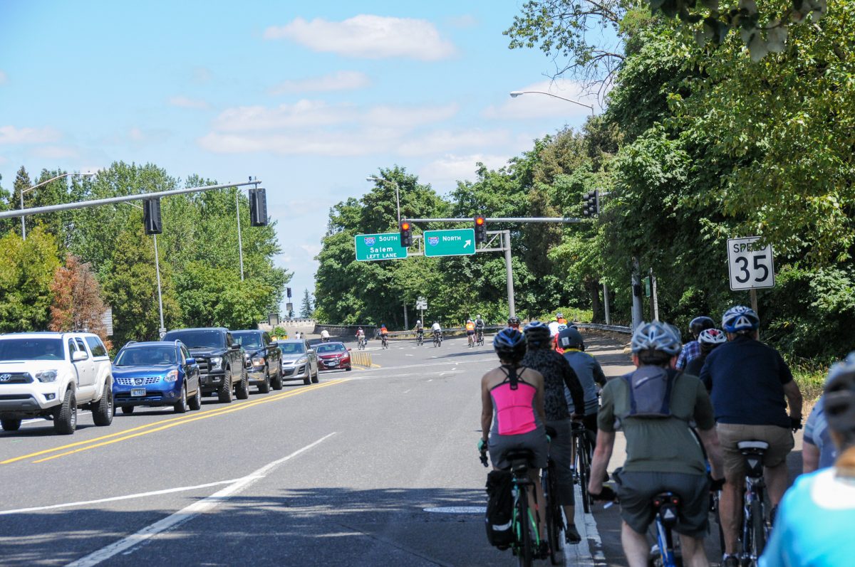
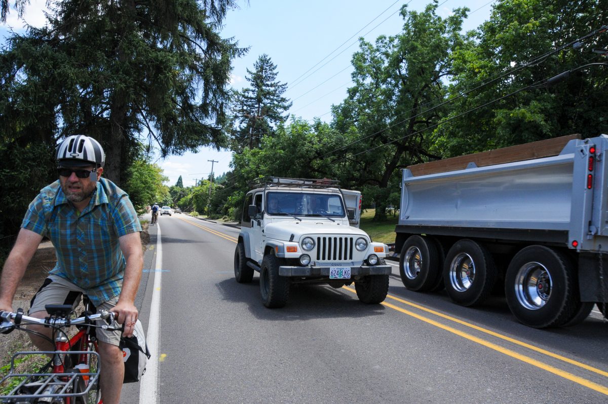
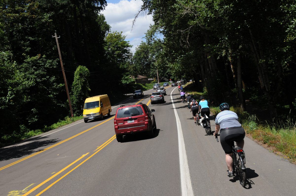
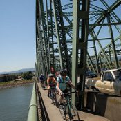
Outside of Oregon City, the real “bag of horrors” began. No longer on carfree paths, we shared lanes over the Oregon City-West Linn Arch Bridge, then the navigated around freeway ramps and fast drivers on Willamette Drive (Hwy 43) with nothing but narrow unprotected bike lanes and debris-ridden shoulders. A police escort helped get us over the bridge without the usual harassment, but we still experienced the gap until the turn onto the quiet and calm of (new to me!) Old River Road.
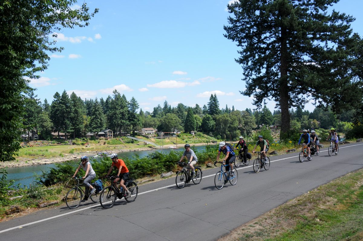
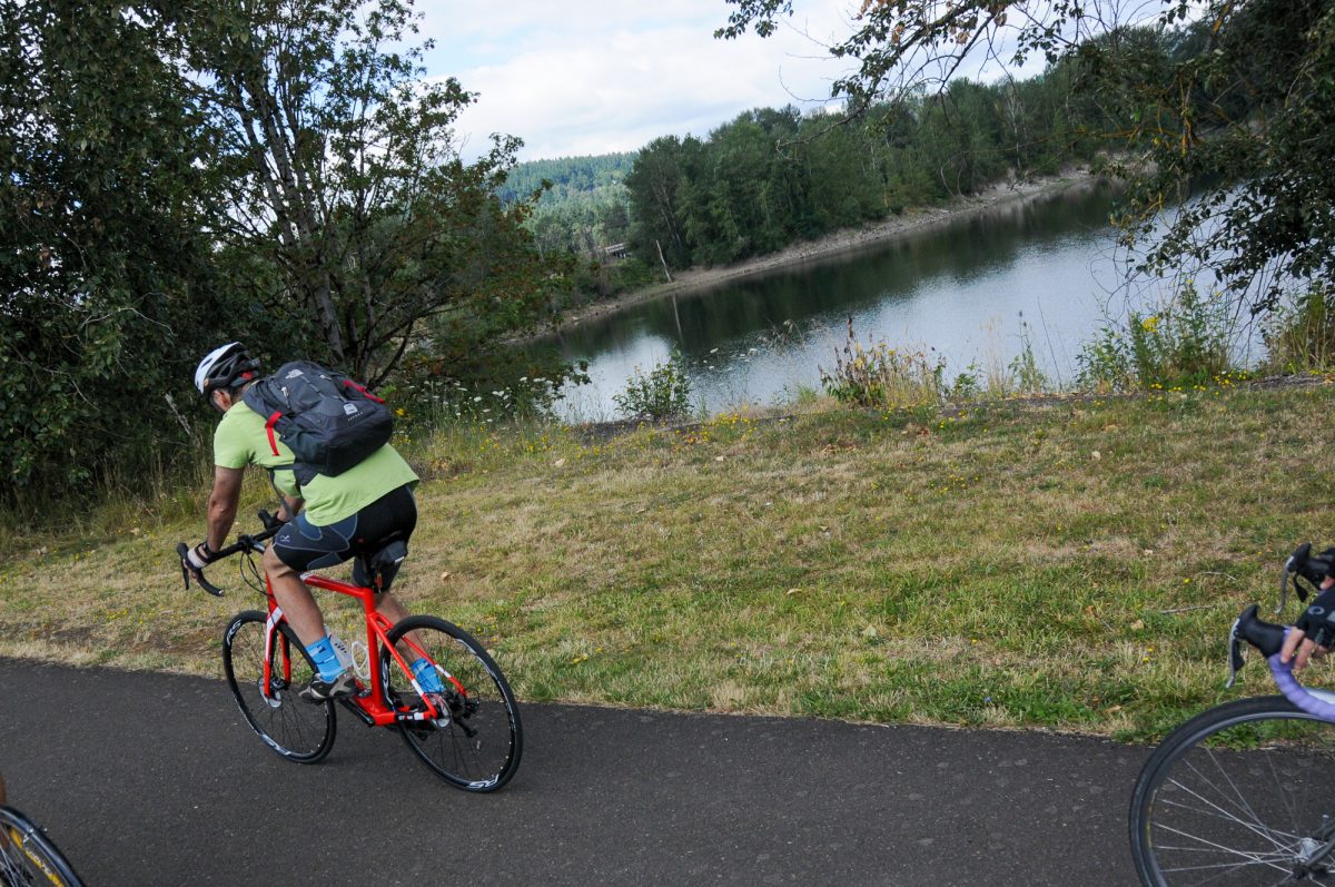
We made our way through Lake Oswego for a stop at Foothills Park where we heard the latest on the Oak Grove-Lake Oswego Bridge project. Since our last report in 2018, Clackamas County has completed design concepts and a feasibility study that they’ll show off at two public meetings coming up next month (stay tuned for a story).
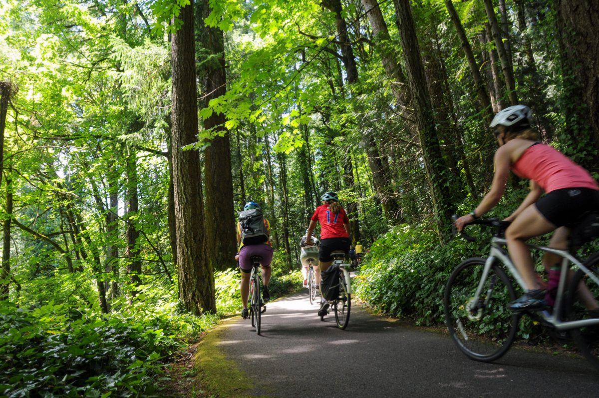
Foothills Park was one of many new things I discovered for the first time on this ride. It’s fantastic! There’s river access, bathrooms, and a water feature for soaking in. And just steps from the Tryon Creek bike path. Speaking of which, we rode up that path through Tryon Creek park (after a police escort helped us navigate State Street) en route to River View Cemetery and back to Sellwood and Oaks Park where riders enjoyed beers and a final debrief.
Thanks to everyone who puts on this ride.
— Jonathan Maus: (503) 706-8804, @jonathan_maus on Twitter and jonathan@bikeportland.org
Never miss a story. Sign-up for the daily BP Headlines email.
BikePortland needs your support.





Thanks for reading.
BikePortland has served this community with independent community journalism since 2005. We rely on subscriptions from readers like you to survive. Your financial support is vital in keeping this valuable resource alive and well.
Please subscribe today to strengthen and expand our work.
Thanks for sharing the photos from this year’s ride (big smile). Sorry I missed this year. The Policy Makers Ride was always my favourite annual active transportation event. And working with Jonathan N., Jay, Jerry and the professional crew of Cycle Oregon to organize these rides in the past was always a pleasure too. Talk about a smooth operation!
And seeing the photos of the communities south of Portland reminds me this area has some of the most exciting dynamic transportation changes in the last 10 years, just shows what can even happen in smaller cities.
A large group with police escort? Ha! You’ll get very little real world data. Send these people on the route alone with no mob of witnesses and no police escorts and then come back with all the real horror stories.
Also, the group seems like people that are already interested in making bicycling better. How many ODOT managers were on the ride? Car-centric senators like Lew Frederick?
No ODOT managers unfortunately. Some ODOT staff but no one from a high-profile position.
And I agree with you about the police escorts. I grumbled about it a lot on the ride. I want these folks to really know what it’s like out there. Not only that, but it’s so paternalistic to think adults on bicycles need a police escort. We would have been absolutely fine without the police. A little more hectic yes, but perfectly safe. If it were up to me I would definitely not have the police escort.
I grew up in OC riding my bike all over. The only safe place on that bridge is on the sidewalk, which if perfectly OK. Hogging the entire lane just pisses off the locals. Super bad form!
Meh, people in Clackamas county didn’t want to contribute to the rebuilding of the Sellwood bridge, a bridge many of them use every single day to get to work, they can wait 20 seconds while I ride my bike over their bridge that will be in the river after the earthquake anyway.
“Bad form”? Seems like the sensible thing to do, to me. I’ve ridden that bridge more than a dozen times and always take the lane. IIrc there are sharrows on the road, so somebody in the OC public works thinks this is proper form.
Sidewalks on bridges often suck (excuse my language). They can be super narrow and have unpredictable obstacles. Not to mention that walkers have priority on sidewalks and a bicycle rider won’t have legal protection if there’s a collision. And FWIW I don’t mind pissing off the “locals” if they can’t handle slowing down for like 2 tenths of a mile. What does that even mean? Why do you assume a bike rider isn’t a local by the way? No one in any one of those cars has any more right to that space than I do and I refuse to cower to their faux-superiority. That being said, I get what you are saying and I make case-by-case judgments when it comes to stuff like this. For example, when I’m by myself and it’s peak-hour traffic times, I will ride the sidewalk on the St. Johns Bridge. Not because I’m worried about pissing people off, but because I just find it less stressful.
Also, I’ve taken the lane while on a multi-family bikecamping trip to Champoeg in the past. No big whoop. Some drivers were pissed but that’s on them.
Jonathan Maus , I commute that route threw OC and Westlinn sometimes and there is a carfree route from Clackamas river trail to George Rogers park.
https://www.strava.com/routes/20534267
That looks great. Thanks for sharing A-Aron
I totally agree, Johnny B! What would be even more authentic would be for these “movers and shakers” to be yelled at by passing motorists or even have stuff thrown at them or – best of all – be forced off the road by a driver laying on his horn and crowding the shoulder.
I know I sound snarky, but I think that’s what it’s gonna take for a lot of policymakers to understand why better cycling infrastructure is truly needed.
…not that we’d wish that on anyone, but there’s nothing like first-hand experience. Video just doesn’t show the feeling of the wind-suck as someone passes way too fast and way too close. Or the startled surprise of having something come flying at you from a car window.
As a ride co-organizer for the past 15 years, we have used police escorts when we felt there were safety concerns, particularly with some riders who are not daily commuters. Our concern has always been safety for 150 riders. Come on you folks, can’t you come up with something more substantive to gripe about. The purpose of the ride is for decision makers, policy makers to expand cycling infrastructure, provide safer infrastructure, and get more people riding. The snarky comments are aimed at the wrong people. Mike Houck, Urban Greenspaces Institute
Thanks for doing what you do, Mike.
The old “it’s not safe on the road for cyclists” excuse does not cut it. We WANT policymakers to be uncomfortable and feel unsafe on the road. If they feel safe then we’ll just get more excuses instead of actual safe infrastructure.
My gripe is correctly directed.
This ride hit on a great idea for making everyone’s ride safer. With the cycling share on the decline perhaps it would be more cost effective than all the money spent on infrastructure to just provide all cyclists with a police escort for their daily riding needs. It could be arranged with an app on their phone. This would give the police additional opportunities to ticket driving scofflaws, and path side bike-jackers. I know I wouldn’t mind waiting on my commute while my escorting officer loaded some coal-rollers in to the back of the squad car for an eventual trip to the lock-up.
This is the first time I’ve heard about this ride, and I’m so glad to know that people were getting out their bikes for the first time in awhile to actually experience what it is like. One small note: I also didn’t know about Foothills Park so I looked it up. You mention there is a “soaking pond” but is this maybe the “reflecting pond” not actually meant for soaking? https://www.ci.oswego.or.us/parksrec/foothills-park
Hi Naomi. Thanks for the comment… The way I see it, it’s an open plaza with a bunch of water that pools up. You can definitely take off your shoes and soak in it. Heck, Metro President Peterson was doing that!
I’d love a police escort when riding a bike on SW Scholls Ferry Road / SW Skyline Blvd going both ways from West Burnside to Raleigh Hills K8.
Especially that incredibly frustrating gap between the Tryon Creek/Terwilliger path and the access to River Rd/Foothills Park. I will NOT ride on State St (Hwy 47) with my teenagers for the four blocks of that gap, which is inconvenient & dangerous and truly ruins the connection between two amazing places to ride.
Cool to see that the group took my daily commute from West Linn to Portland. At Foothills Park I hope it was noted that this is where the Lake Oswego trolley is blocking the path from Lake Oswego to South Waterfront. Instead of having to have a police escort across State St, ride up Tryon Creek, through private property at Riverview to Sellwood bridge you should just be able to continue straight on the basically unused rail line, it’s flat, it’s direct, it’s along the river, it’s got no cars! Huge regional fail IMO.
Comment of the week. This trolley is an antiquated nostalgia trip and hilarious to see people riding it with the generator in front to provide electricity. Can’t fathom the number of people who would commute by bike on the west side if this was turned into a path.
In reply to PS and Rick re: Trolley Line Right of Way.
I agree that a trail along the trolley line would be a much better use of the space. Unfortunately, the easements on the various pieces of property along the Trolley line specifically state that it is for “railroad” purposes only.
The reason that the local governments banded together to purchase the right of way back in the 80s was to preserve it as an option for a future transit link south from downtown. The reason the trolley is running, is to keep the line in use. If abandoned, I believe the easements would revert to the property owners along the line. The property owners have no interest in a trail or mass transit line running through their little 1% bubble.
So here we are. Stuck with a dinky little tourist trolley, and no sign on the horizon for improvement.
My personal guess (just a guess) is that nothing will change until traffic on hwy 43 becomes far to much for the luxury car driving elite to deal with. If the area around 205 and Stafford Rd starts getting developed, I foresee a lot of commuters taking 43 to avoid 205/I5.
Why not allow commuter rail biking on weekdays? Just need to remove and stow the front wheel.
http://www.railbike.com/history.htm
Sounds like a “railroad purpose” to me!
I literally considered that! I also considered a riding a fat tire bike along the trolley line. In the end I found an e-bike was the solution that allowed me to continue my daily commutes into work.
So, this is great and all, and “I have nothing against e-bikes”, per se, but here’s what I would hate:
A growing cultural attitude that says, “If you can’t or don’t want to drive a car, then get an e-bike. If you don’t want an e-bike, then (and only then) resort to a ‘regular’ bike”.
The corollary to this is, “Come on [you slow bicyclist who is in my way], why don’tcha at least get one of those e-bikes?”
In a context where speed rules, and using an e-bike is viewed as an option that is just as “affordable” as a plain bike (false, I know, but we’re talking perceptions—perceptions of people who think cars are affordable), then riding a conventional bike will come to be seen as the equivalent of moseying on foot down the middle of a traffic lane. That kind of perception would make a lot of drivers even more hostile to conventional bike users.
The trolley line row and entity has been owned by the local government (LO, Metro, TriMet, and I think Portland) for nearly 30 years !
You hit the nail on the head, Rick. These entities are waiting for the right moment in the future when they have the right combo of highway congestion, political capital, and climate catastrophe to turn that railroad into another MAX line, completing the points on the compass. In the meantime that old, useless, and wonderful trolley chugs on.
The ROW is a railroad easement. Without an operating rail service, the property would go back to adjacent land owners (ie: rich Dunthorpe people). We can’t just turn it into a bike path. I would like to see serious money dumped into creating an adjacent bike path, just like the Springwater. They can continue running the trolley on weekend’s to maintain the easement.
Old River Road in West Linn is a nice connector. It’s currently closed to motor vehicles due to the pump house project at George Rogers Park. It’s been nice. I’d like to see that made permanent with barriers installed where the current construction project sits. I’ve seen a huge uptick in people using this road walking, jogging, and biking since it’s been closed to vehicles this summer.
Has this route included an extensive piece of Springwater, I-205 path, or the Peninsula crossing in the last few years? That route misses (or avoids?) the sorry condition of our east side infrastructure.
Can someone offer Chris Warner a bike fitting?
“Ride organizers pulled strings so we could cross the carfree 82nd Drive Bridge (which is usually closed weekdays for repairs).”
I assume it is closed for safety reasons? Doesn’t this means the organizers put you in danger??? Or, did the ride delay actual work being done? Just as hilarious as the police escort IMO.
But overall I am glad this ride happens and hope it continues and grows. Trying to tame my curmudgeon.
I like that the policymakers are getting out on bikes and using our infrastructure, but two things need to change:
1– NO police escort.
2– SMALLER groups.
How can one truly experience what Joe and Josephine Public experiences surrounded by 100 friends and with a police escort?
Break the big group up into groups of 5 or less. Get a feel for what it actually feels like when you are surrounded by the herd. It’s a VERY different experience.
Maybe each policymaker should ride that same route during the commuting times– half can do the morning commute, and the other half can do the evening. Groups of 5 or less for each time slot. With 10 people riding per day, it should take two weeks to do, and then meet up on the following Saturday to talk about what everyone experienced and how to make it better.
It would be a more realistic assessment, and maybe we’d get better/safer/more infrastructure out of it.