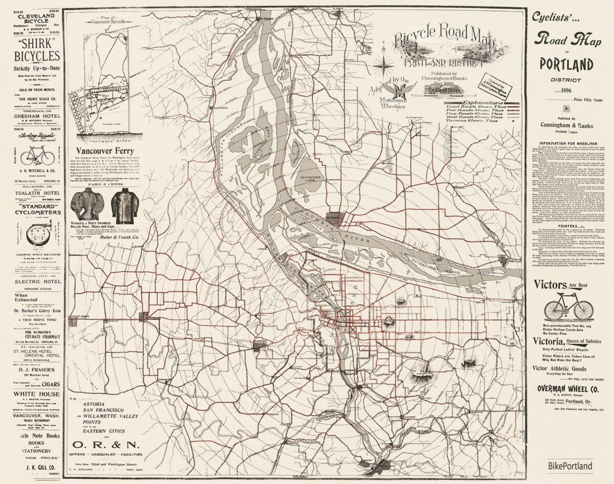
I am very happy to announce that you can now buy a print of the most amazing vintage Portland bike map in existence. Yes, that 1896 Cyclists’ Road Map of Portland District that we’ve shared on TikTok and here on the Front Page is now available for purchase on BikePortland.
>> Click here to order <<
This remarkable map was first printed in 1896 (that’s not a typo) and was endorsed by the Multnomah Wheelmen cycling club. It was sold at the Oregon Historical Society gift store in the 1970s and then sold for a few years by the Bicycle Transportation Alliance (now The Street Trust) before it went out of print sometime in the 2000s. There’s so much to love about this map, but perhaps the coolest thing is how it illustrates the cultural prominence and popularity of bicycling in our region nearly two decades before cars were even sold.
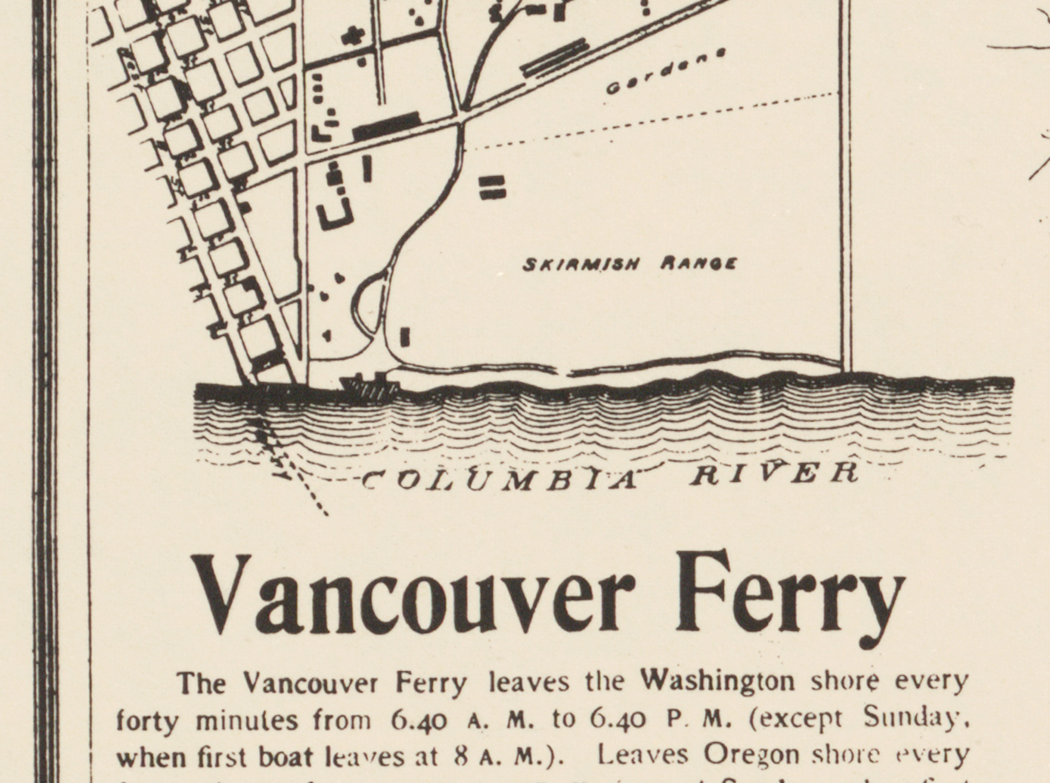
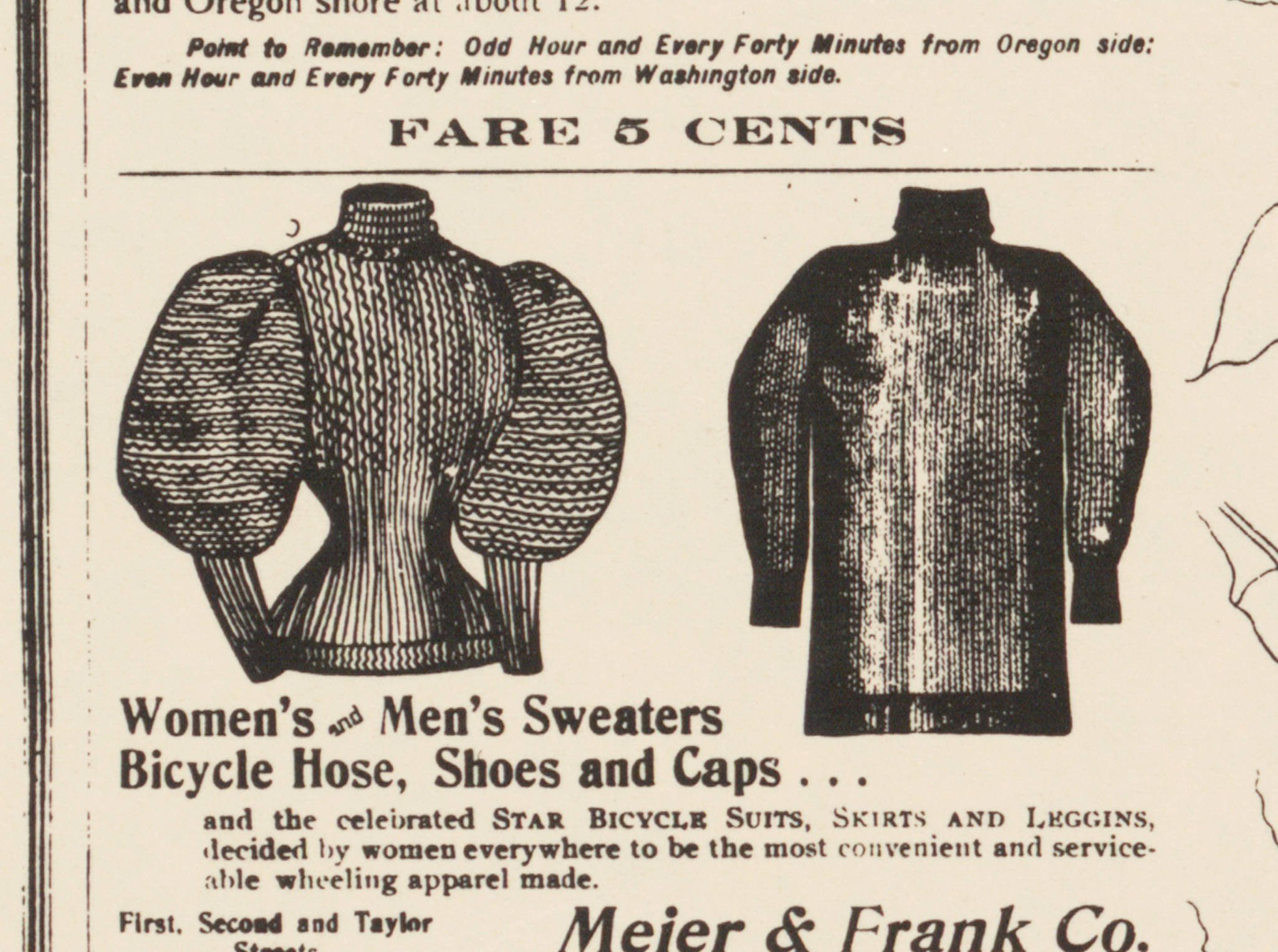
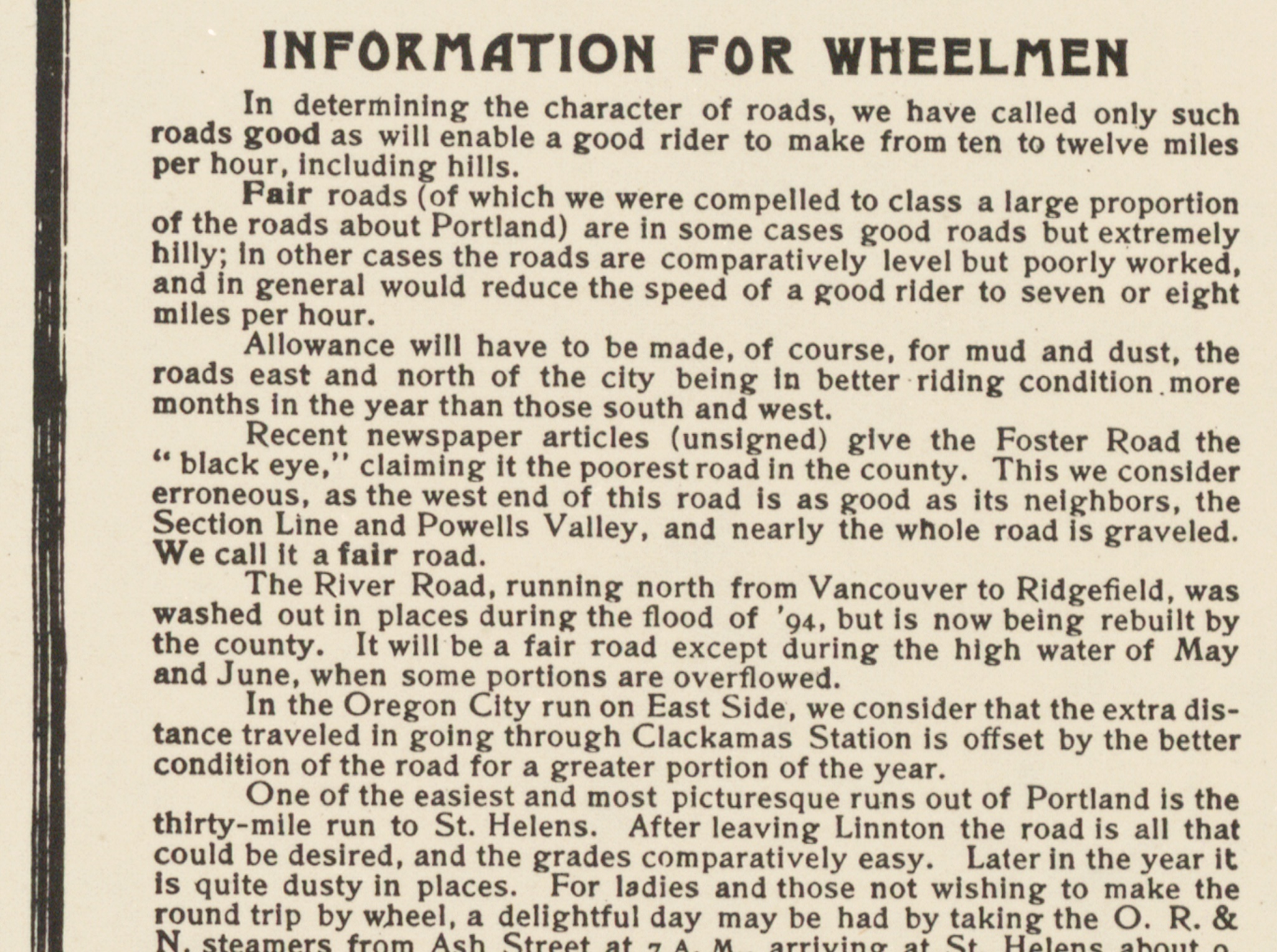
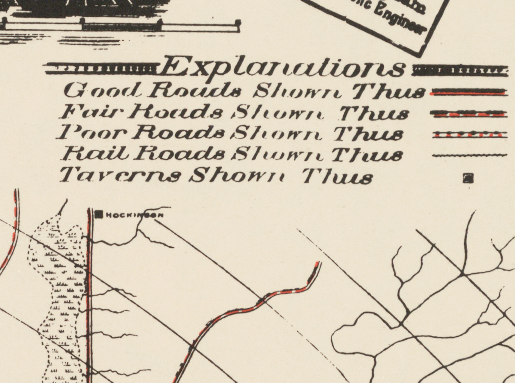

BikePortland has resurrected this map. We’ve teamed up with Portland-based map seller Transit Maps to complete a few minor digital restorations and can now offer quality, archival prints of this special piece of history. Buy one today for just $40 and get free shipping.
The map includes several amazing details that give you a window into Portland bike culture at the turn of the 19th century. It’s a perfect gift or splurge for: transportation nerds (you know who you are!), map geeks, bike advocates, bike lovers, or anyone who appreciates forgotten history.
Specs:
- 24″ tall by 30″ wide.
- Map highlights include: location of taverns marked, ads targeting cyclists, Vancouver Ferry information, “Information for Wheelmen” sidebar, and more.
- Each poster is printed on-demand using fully archival, UltraChrome inks on Moab Lasal Matte, a beautiful, brilliant white, 230gsm (11 mil) alpha cellulose paper which is acid- and lignin-free.
- Each print is carefully inspected, wrapped in pH-neutral paper, then rolled and placed in a sturdy chipboard tube for shipping.
Order one today and we’ll get it shipped out right away. We’ll also bring a limited amount to our Pitch & Bitch event next Wednesday (12/7).
Your purchase helps support our work. We appreciate your business!



Thanks for reading.
BikePortland has served this community with independent community journalism since 2005. We rely on subscriptions from readers like you to survive. Your financial support is vital in keeping this valuable resource alive and well.
Please subscribe today to strengthen and expand our work.
OMG. I’ve been wanting this for years!!
What exactly is Dr. Barker’s Celery Kola?
Jonathan, this is great news!…for those in the cycling / map community that missed the last era when these were being sold openly in public. Get one now, as you never know it it will be 10 or 20 years until the next printing.
And for those of you in the transportation design / planning / engineering fields…if your office does not already have a framed copy up on a wall then its time to fix that glaring error, check with your administrator on any end of year budget funds! 😉
Interesting in that all roads were dirt (a few downtown were plank), and the only road to the Vancouver ferry was quite the distance from the current Interstate. And, nothing on Sauvie Island even though it was settled.