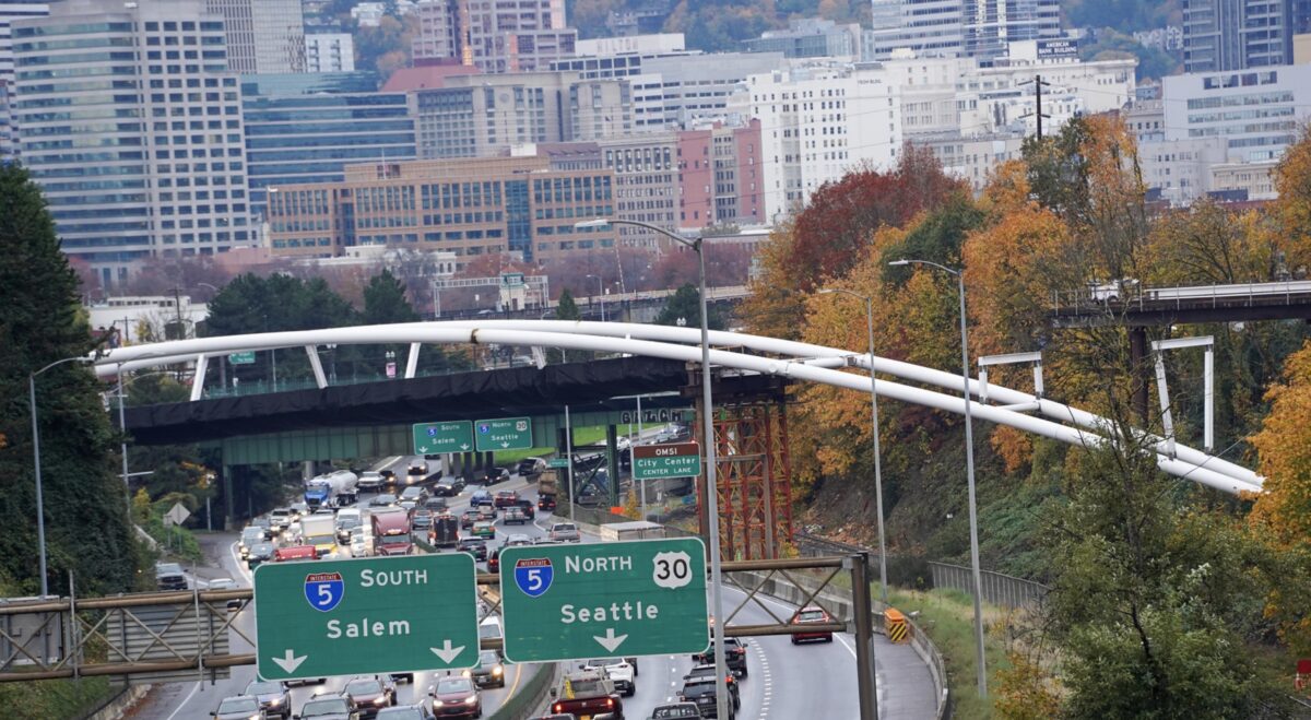
The long-awaited carfree connection between the Lloyd and Central Eastside districts is finally all set to open.
The Portland Bureau of Transportation announced today that the big date is July 31st and they’ve got a bevy of biking festivities planned to mark the occasion.:
The day will include a variety of community-led bike rides. New plazas on the north and south sides of the bridge, as well as nearby destinations in the Lloyd District and Central Eastside, will have pop-up block parties with a variety of local vendors and organizations. The Central Eastside Industrial Council and Go Lloyd, along with The Street Trust and Friends of the Green Loop, are organizing local groups that may want to take part in street fairs and group bike rides the day of the celebration. There will also be a formal program where local leaders, including Congressman Blumenauer and Portland Transportation Commissioner Jo Ann Hardesty will speak.

First known as the Sullivan’s Crossing Bridge, PBOT began working on this project in earnest in late 2016. They renamed the bridge in honor of Congressman (and former PBOT commissioner) Earl Blumenauer in 2019 and the project broke ground a few months later.
The bridge is considered a lynchpin in the city’s bicycle network that will greatly improve the value and convenience of existing bike routes on 7th Avenue. It also marks the completion of a significant piece of the city’s vision for a “Green Loop” around the central city.
Riding conditions on the bridge will be similar to the Ned Flanders Crossing bridge, another carfree span that opened one year ago. The 24-foot width will be split between two, separated lanes of 10 and 14 feet. Walkers will be on the outside and a two-way bikeway will run in the middle.
A big selling point of the new bridge was that it is likely to survive a major earthquake and will open to emergency vehicles if and when one strikes.
For more information about the opening day festivities and the bridge itself, check out PBOT’s website.


Thanks for reading.
BikePortland has served this community with independent community journalism since 2005. We rely on subscriptions from readers like you to survive. Your financial support is vital in keeping this valuable resource alive and well.
Please subscribe today to strengthen and expand our work.
Would it really be car free and would it be enforced? the Peninsula Crossing Trail is car free as well on paper. Unauthorized vehicles are driving on it all the time and not a thing is done about it.
I don’t think it will take long for this to become somewhat of a “hub” for camping and chop operations.
This is like the NED Flanders crossing: https://goo.gl/maps/YLpGX8oxTJgeBDtNA It will have bollards to prevent cars from entering.
The 205 / Springwater / Peninsula Crossing trails have bollards, too. Or, shall I say, had bollards….
The Greeley MUP had bollards too….
So exciting. This is such an important and needed connection. Can’t wait!
Will there be any route improvements to access the bridge from the north or south?
Yeah I’m hoping this will kickstart all of 7th to Going turning into a dedicated Greenway
We already tried to do that. It would be too gentrifying, apparently.
That was my question also. I rarely bike in that area so I don’t have a sense of the routes, but too frequently our bike crossings are sited so as not to inconvenience cars and trucks instead of to convenience cycling.
I was riding on the south side of the bridge a couple of weeks ago and was made pretty nervous by freight trucks in the area. Franz bread, and other industrial drivers in the area are possibly not going to be prepared for the influx of bikes. Riding on the north side of the bridge, there are often cars parked in the bike lane on 7th. I am pretty concerned about how actually crossing Lloyd Blvd is going to be. Drivers ignore the bike lanes and green boxes in that area regularly.
Franz uses triple trailers, which are extra fun to bike around on city streets.
My understanding is that they’ll be making some greenway type improvements (sharrows etc) south of the bridge, from Washington to Flanders. There’s a larger project to improve 7th Ave from Washington to Division, but that’s years out.
North of the bridge the conceptual ideas to improve 7th Ave through the Lloyd seem to have died, but there will be bike lanes added on 7th from Broadway to Tillamook as part what remains of the Lloyd to Woodlawn Neighborhood.
I hope they find a way to improve the Washington/7th/Sandy intersection. I commuted through there for 13 years and it is very sketchy. The bike lanes south of Washington on 7th are truly terrible, I advise taking 6th. ON the north, I hope they signalize the Lloyd Blvd/7th because people drive super fast on that stretch; witha hil and corner the visibility is less than ideal.
Thanks for sharing the links to the 7th Ave concepts- those are pretty cool- too bad that lost momentum. Also too bad about the 7th Greenway petering out to nothing.
Why would anyone take an orphaned SE 7th with unsafe access when one can ride contiguous bike facilities up to 12th? 12th also has an OK connection from Ankeny (16th Neighborhood Greenway), one “meh” connection to Couch/Burnside, a connection to multiple dedicated bike routes via Irving, and two connections to Multnomah and beyond (e.g. Tilamook, 20s) on the north end.
For a tenth of what was spent on an orphaned “greenloop”* bridge, PBOT could have upgraded bike infra on the existing bridge as well as connections to its 5 feeder bike routes.
*It’s quite possible that the “greenloop” will never be built.
Or, if you’re headed east, cross I-84 using the bridge at 12th and ride up Irving to 16th which has a good crossing at Sandy and an acceptable crossing at Burnside.
I fundamentally agree that upgrading the existing facilities might have been a better use of funds.
I know that you’re coming from what you love to call “twee inner SE Portland”, but not everyone else is. For many journeys that will go over this bridge using SE 12th would be a 10-block detour
Once again with the unprovoked ad hominem.
It’s also more than a little creepy for someone I’ve never met to claim to know where I live in internet comments.
You mention it all the time?!?!?
And once again a turn away from policy to personalization.
I don’t critique Friedmanite trickle-down housing policy (YIMBYism) because I have a grudge against my Econ 101 professor, I critique supply side economics because I disagree with its anti-egalitarian premise.
I’m not sure what, if anything, this reply has to do with my point that 7th will be a much more convenient route than 12th is for many trips.
7th can easily accomodate wider bike lanes south of Sandy. They just need to remove some of the lightly used parking spots.
totally agree and I ope they do that! The existing bike lanes are not good
Also for SE 12th North of Couch. In fact, there are so few intersections that this stretch is a great candidate for restriping as a protected bike lane.
that would be nice! There was talk of adding protected bike lanes on SE 11th and SE 12th and making them 1 lane from Burnside to Division- I would love that!
Sounds like we should do both. 7th and 12th serve different cyclists, so we should have both options. To the north, 12th basically dead-ends into Lloyd Center. It works fine if you are heading to 15th and points north or east, but is a significant detour for someone going to Eliot or western Lloyd. This new bridge fills the gap between a MUP that is literally floating on the river, and a busy shared crossing at 12th.
Construction drawings for the bridge started to be developed in 2017. Construciton of the bridge started in 2019 and was slated to open in spring 2021. The bridge is is going to be open over a year late. PBOT has been “planning” a N-S route for over a decade, and had over 5 years since they knew this bridge was coming to get the surface route ready. To open such a huge, complicated and expensive bridge without a robust connection to a safe, direct north-soute bike route is more of a failure than a success.
And this is why I think the comments above forecasting an “infux of bike traffic” are optimistic at best. This isn’t quite “bridge to nowhere” status but it’s far from optimal.
With poor connections and constant encroachment by illegal camping I am worried that this project will fizzle.
Thank you for highlighting the disgusting inequity of this kind of rapid implementation in twee close-in Portland versus the decade plus timeline (even after funding) in outer E Portland.
That’s not the full timeline though. The bridge was identified in the N/NE Quadrant Plan, work on which began in 2010 before its adoption by City Council in 2012.
So looking forward to this!