
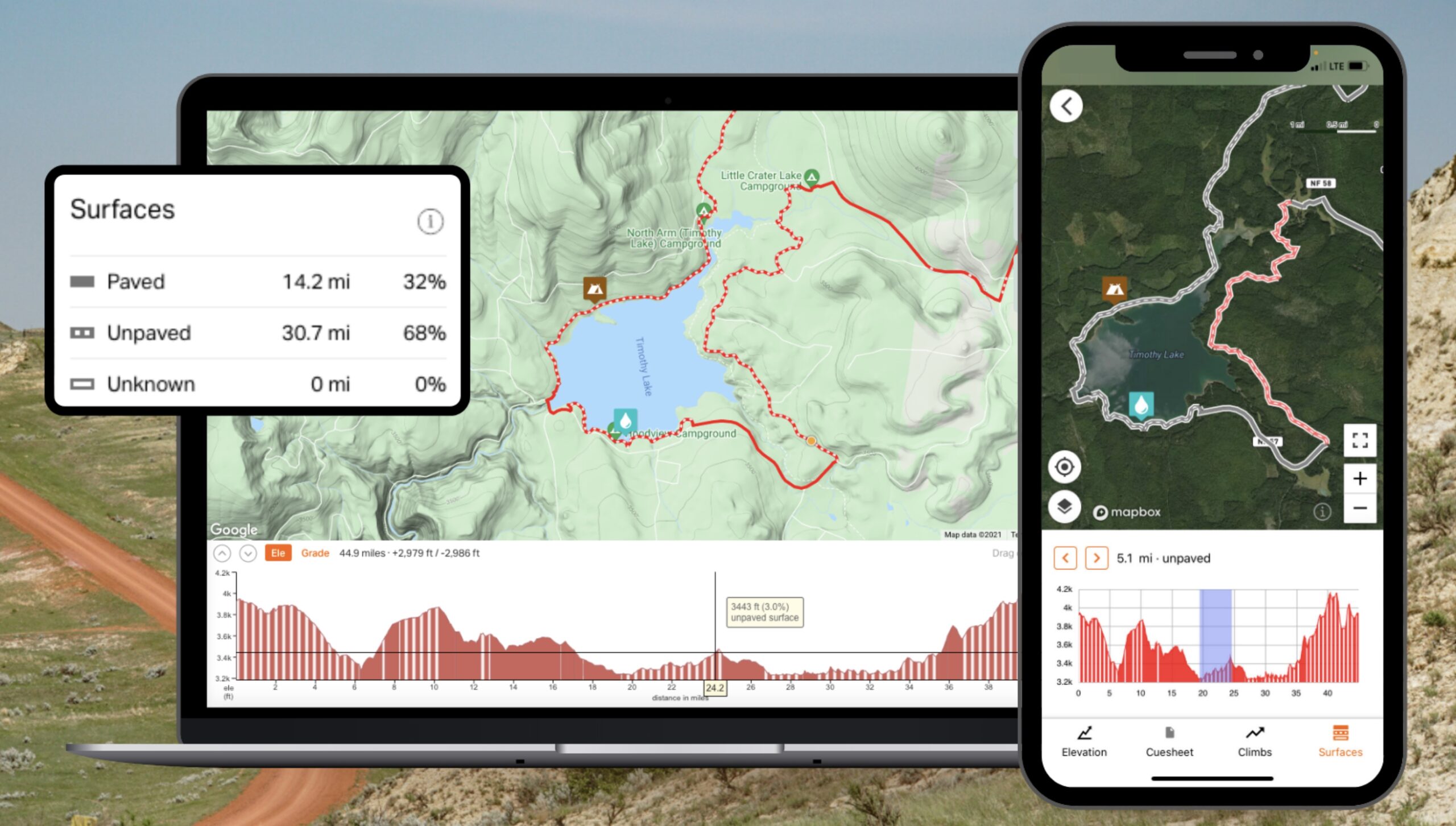
Portland-based Ride With GPS unveiled a cool update for their routing app on Tuesday: A feature that allows you to see the road’s surface type as you plan, view and navigate routes.
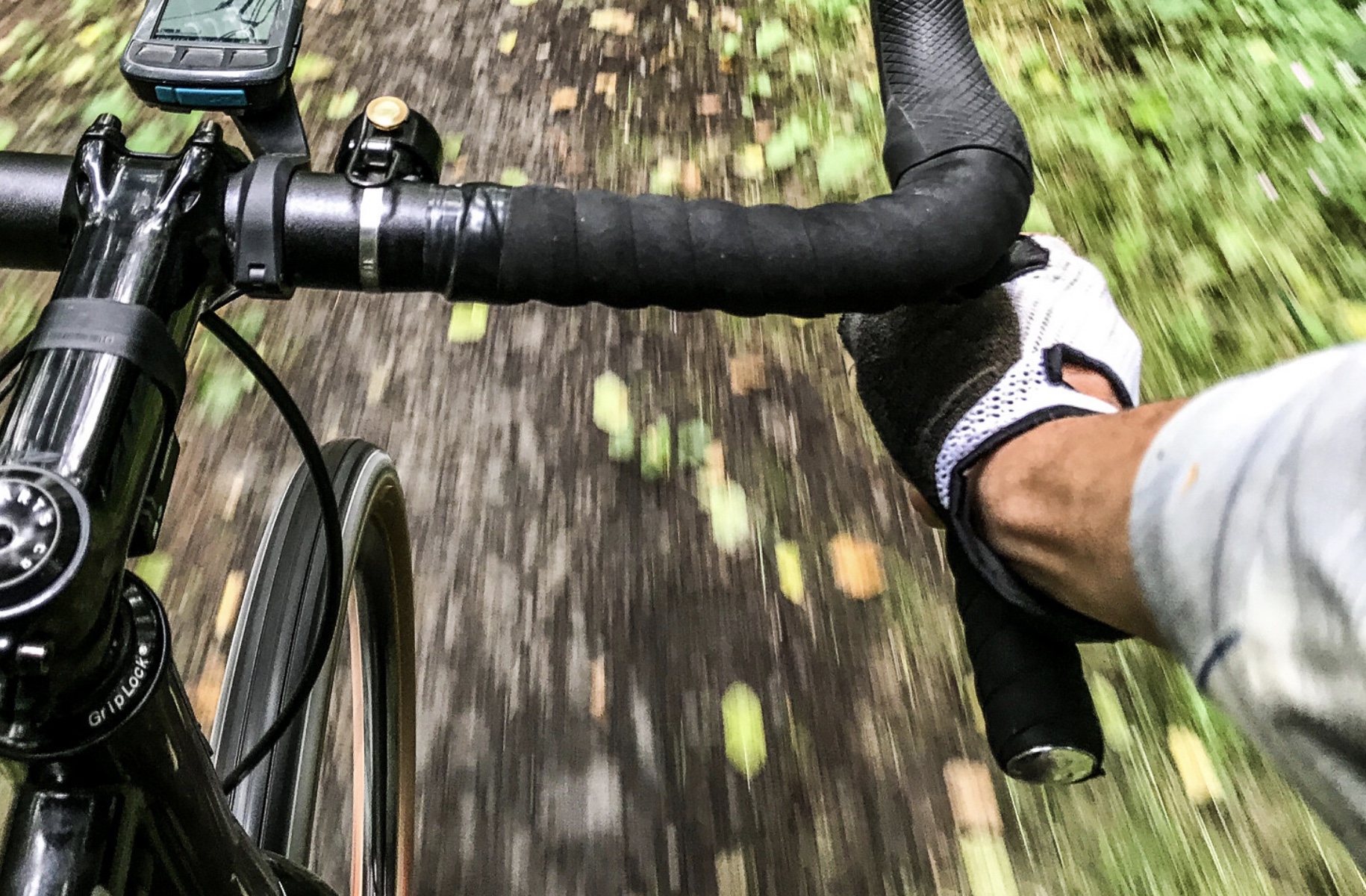
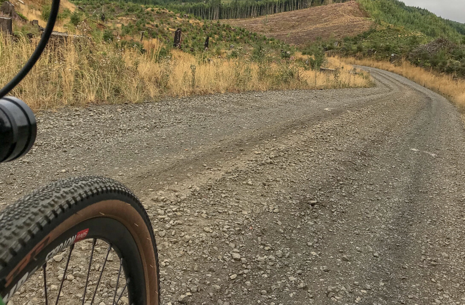
In the ever-burgeoning world of adventure riding this is a big deal because it takes the guesswork out of a crucial planning element. When thinking of a route, the difference in time, skill, and tire choice necessary to successfully navigate a paved versus unpaved section could mean the difference between making it back before dark — or making it at all.
The new feature allows users to differentiate between roads (paved or unpaved) and trails, then it gives a percentage breakdown of each surface type in your route. If their database has insufficient data about a surface, it will display as “unknown”. The data is gleaned from open-source mapping service OpenStreetMap (OSM), and Ride With GPS users can also add their own knowledge and corrections to routes to make it even more accurate.
Advertisement
The way Ride With GPS sees it, the more confident people are in their route, the more riding they’ll do, and the more time they’ll spend on the app.
Ron Lewis helped test the new feature. Lewis, one of the leaders of Our Mother the Mountain (OMTM), an adventure riding group based in Portland, said the new tool has already proved its value. “I’ve been tasked with designing several event routes remotely, sometimes in rather distant locations with very little time for recon, so having a solid, realistic expectation of conditions is critical. The ability to dial in an accurate read on route conditions from afar is a huge advantage.”
Ride With GPS already offers users a heat map that displays the most well-worn routes, so this is just another level of detail to use when planning. The Surface Types features is available to all Ride With GPS users and a paid subscription (which I highly recommend!) isn’t needed.
Learn more at RideWithGPS.com.
— Jonathan Maus: (503) 706-8804, @jonathan_maus on Twitter and jonathan@bikeportland.org
— Get our headlines delivered to your inbox.
— Support this independent community media outlet with a one-time contribution or monthly subscription.


Thanks for reading.
BikePortland has served this community with independent community journalism since 2005. We rely on subscriptions from readers like you to survive. Your financial support is vital in keeping this valuable resource alive and well.
Please subscribe today to strengthen and expand our work.
Does it warn about chipseal? I don’t prefer chipseal.
Ride With GPS and others really could not provide the information they do without Open Street Map (OSM). As you collect surface data, find roads not in the database, and such forth, please consider contributing to OSM (https://wiki.openstreetmap.org/wiki/Main_Page). OSM is a public resource, built and operated following Open and FAIR practices.