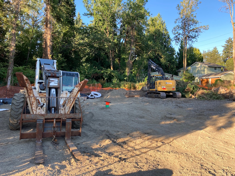
Most conversations about active transportation improvements in Southwest Portland are brought to an end by the word “stormwater.” So I’ve taken a particular interest in the construction of the $27.5 million SW Capitol Highway project, which began a month ago and looks like it will be an 18-month tutorial in stormwater management.
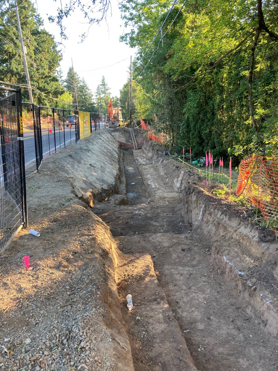
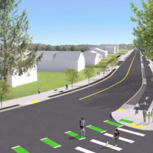
Early this morning I visited the site. The most dramatic work happening is the excavation and construction of the retaining walls on the east side of Capitol Highway between SW Spring Garden Street and SW Dolph Court. This is where the new protected bike lane and sidewalk will sit. The tight trench in the middle of the excavation will become the footings of a retaining wall.
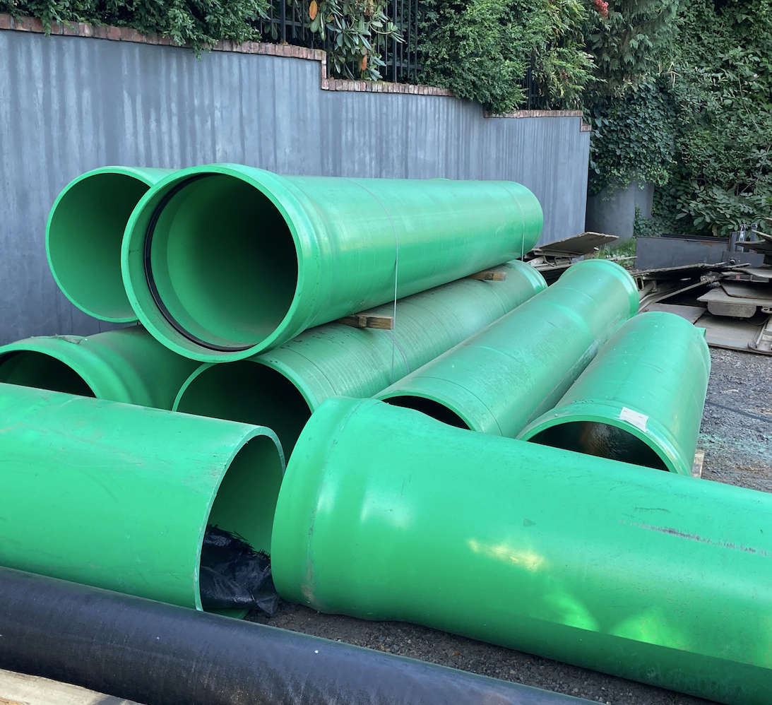
The project will install 7,000 linear feet of green stormwater pipe which will convey runoff from street inlets to large, landscaped stormwater treatment basins. The treated water will then enter streams in the Fanno and Tryon watersheds.
Advertisement
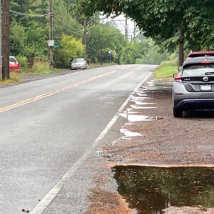
This is an upgrade over how most Southwest Portland stormwater is currently handled. Capitol Highway is a typical example: stormwater runs from inlets through short pipes into open ditches at the side of the road. The water in the ditches eventually makes its weedy way into area streams.
For those wanting to follow the construction, the Portland Bureau of Transportation is helpfully sending out fairly detailed construction updates every two weeks to those who sign up.
— Lisa Caballero, lisacaballero853@gmail.com
— Get our headlines delivered to your inbox.
— Support this independent community media outlet with a one-time contribution or monthly subscription.



Thanks for reading.
BikePortland has served this community with independent community journalism since 2005. We rely on subscriptions from readers like you to survive. Your financial support is vital in keeping this valuable resource alive and well.
Please subscribe today to strengthen and expand our work.
My SW friends have long talked about this project but I have had a hard time really understanding it. Why is Capitol HWY such an important street for bicycling access? Would love to see some more pictures of what is along the street and a map because I am embarrassingly inept at understanding SW streets.
Hi Kiel,
This story might be a good place to start. In 2015 I rode it with SW advocate Roger Averbeck and he lays it all out.
Thanks for linking that article, Jonathan.
Kiel, there aren’t many streets in SW that run north-south for any distance. With Capitol Highway you can get from PCC Sylvania to Hwy 26–with a couple jogs in the road and name changes: Cap Hwy to 30th to Dosch to Humphrey, and then you are at the Sylvan overpass of 26. In other words, the Cap Hwy route could take you from Lake Oswego to Forest Park.
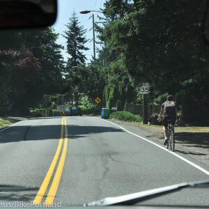
Right now, most of it doesn’t have bike lanes or sidewalks.
Kiel – I’d be happy to take you out for a SW bike tour. The previous bikeportland articles describe it very well, but seeing is believing. In addition, it’s equally important for walking and transit access. If interested, email me and we can schedule a nice ride. keith.liden@gmail.com
Good to see this getting underway. This is another in the long list of better late than never projects. I think this has been about fifteen years in the making.
It’s a big hill between but it connects pretty directly from NW 23rd & downtown to outer SW from Patton to Dosch with pretty light traffic. I know I’d take that outbound instead of traffic heavy Barbur.