(Photos © J. Maus/BikePortland)
Earlier this month I shared two stories on the progress out at Rocky Point Trail system in southern Scappoose. On Saturday I finally got out there myself.
With roots as a mountain biker, I’ve been watching developments at Rocky Point with great interest. Like many of you, I almost gave up mountain biking altogether when I moved to Portland in 2004. I was spoiled living in Santa Barbara, California with amazing singletrack just a few miles from my front door. Since I don’t like to drive to ride, when I got to Portland and realized there were no interesting trails nearby, I just stopped mountain biking (except for a bit of racing and an occasional Forest Park foray).
I’ve covered the Rocky Point story closely since local nonprofit Northwest Trail Alliance signed their groundbreaking lease with Weyerhaeuser in July of last year. On Saturday I didn’t even intend to check it out. But as I spun my pedals northbound on Highway 30 about 16 miles north of my north Portland home, I found myself climbing up Rocky Point Road. At about mile 17 I saw a trail sign on a nearby gate, turned off the pavement, and started exploring.
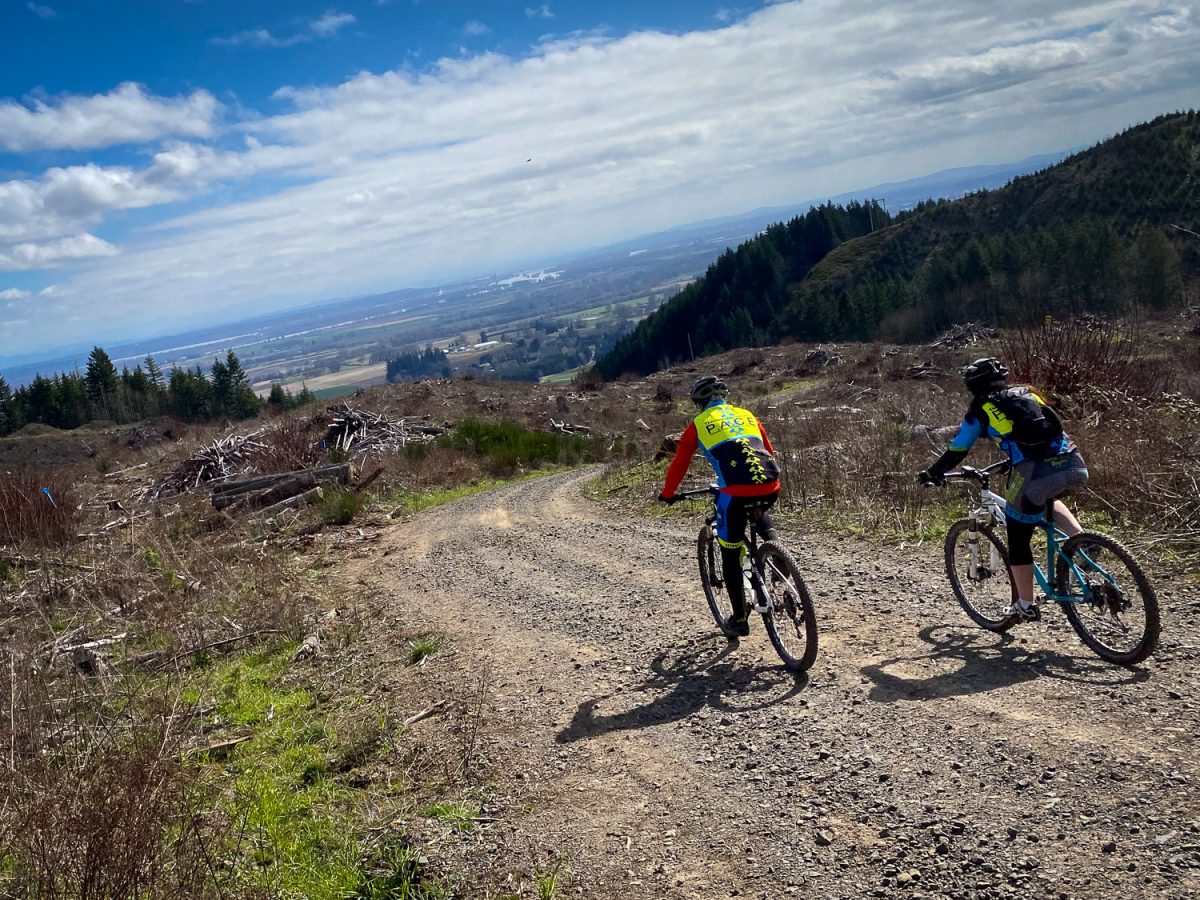
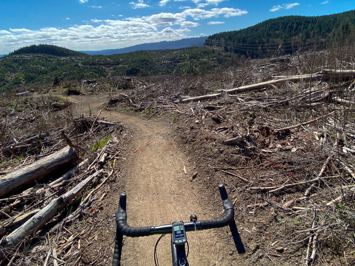
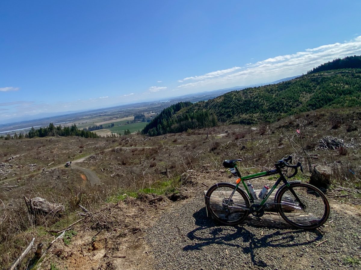
Just an hour of riding from my backyard (not that much, relatively-speaking) I peered out onto breathtaking views of Multnomah Channel, rural Clark County, and the Cascades. I rambled around a bit on gravel service roads and eventually found a few trailheads. I know I should have had a map or the trails loaded on my GPS device, or maybe even a guide who knows the area, but riding blind has its own rewards. I went where whim led me.
Advertisement
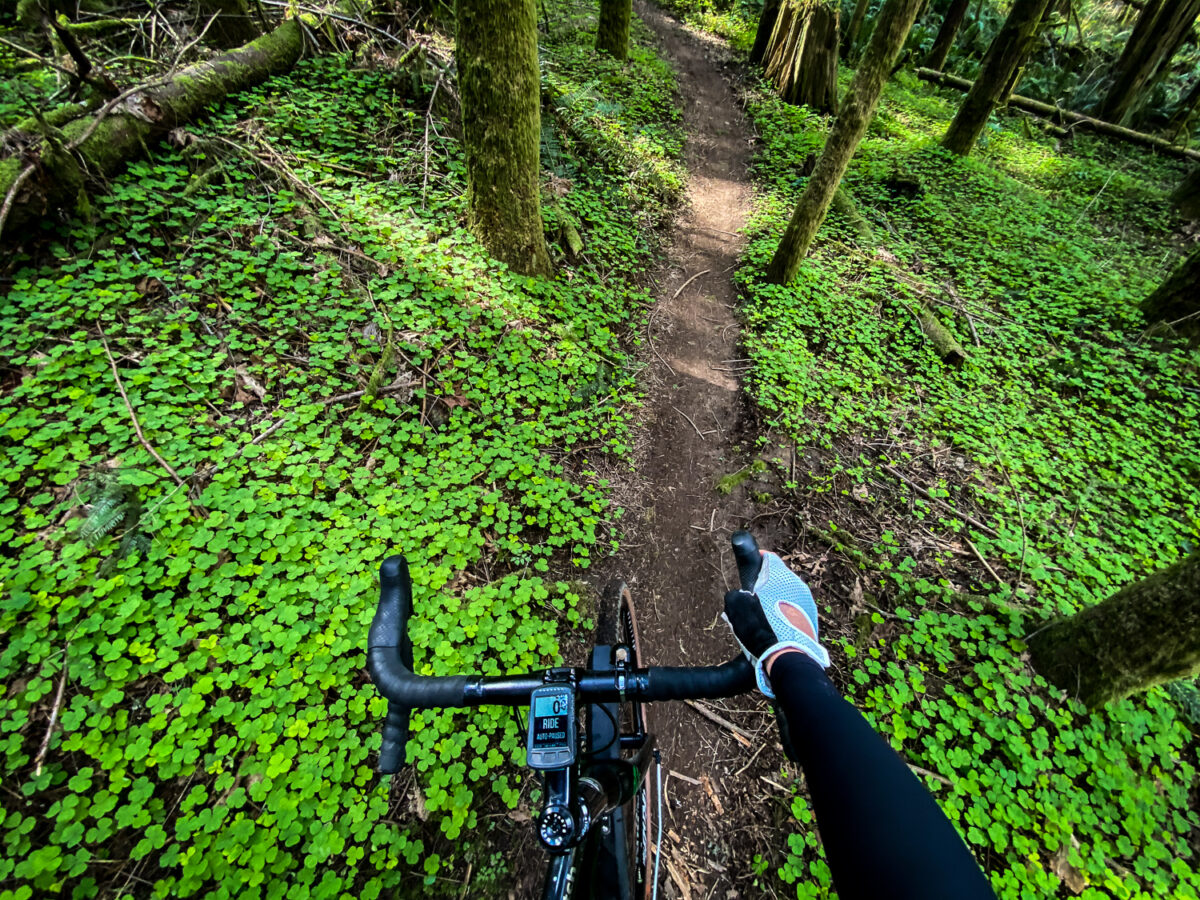
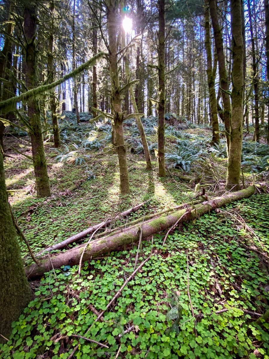
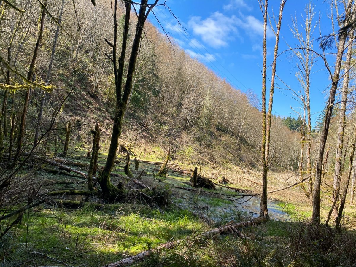
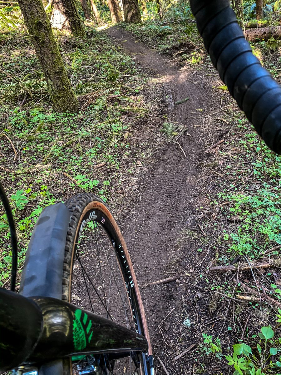
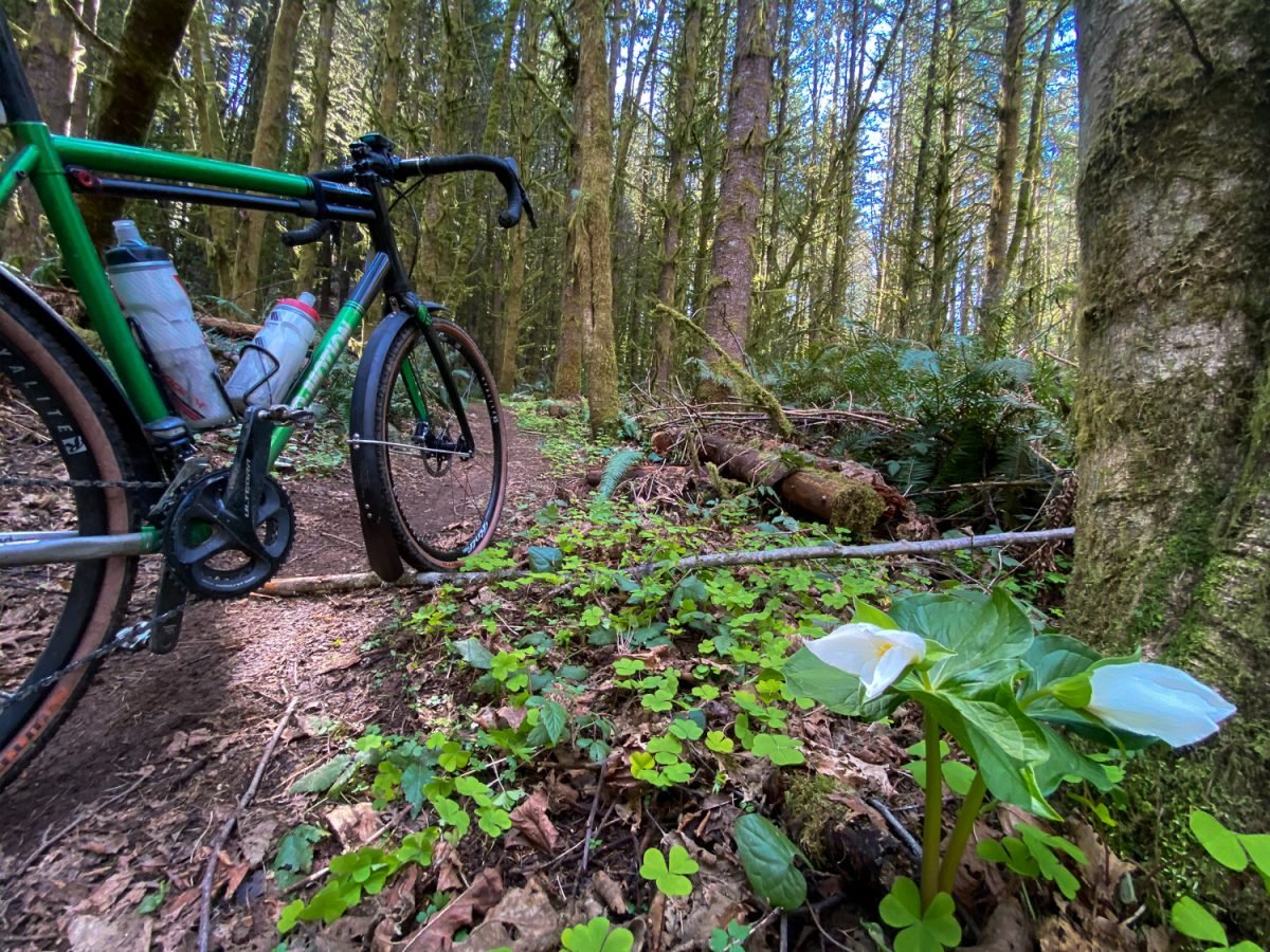
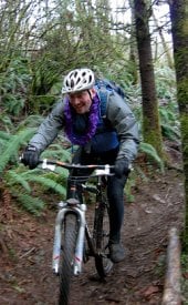
The first trail I dropped in on was Nettle Alley, marked with a blue square to let me know it’s intermediate level. I was instantly having fun! The trail twisted and turned through beautiful stands of trees and undergrowth. Fresh trillium flowers, a swath of wood sorrel (not clover, as our smart commenters corrected me below), fantastic ferns. At one point I stopped next to a large seasonal pond (near Jones Creek) and listened to the sound of hundreds of croaking frogs. Then an eagle landed above me and the frogs went silent. Were they afraid of me or the eagle?
**Public Health Warning**
If you ride off-road during the COVID-19 outbreak, please use extreme caution and stay within your comfort zone. Any additional injuries will put a strain on hospital capacity.
About a mile of singletrack later I popped back out on a gravel road and found a fun double-track connector trail back to the main central parking area (which is new by the way, more on that in a separate story). I then crossed Rocky Point Road and got onto another gravel road that provides access to the majority of the riding area. I found my way onto a black diamond trail called Roller Coaster. It was a fun and challenging downhill trail full of whoops and tight, bermed corners that ended with two super-steep, rutted-out pitches at the bottom before delivering me back into the arms of the safe and wide gravel road.
I then rode back to Highway 30 and headed home (via Logie Trail Road, Rock Creek Road, Old Germantown, and Forest Park Firelane 10). It was my first foray to Rocky Point, I had no idea where I was riding, but I’m already excited to explore more of it.
The tool for the job
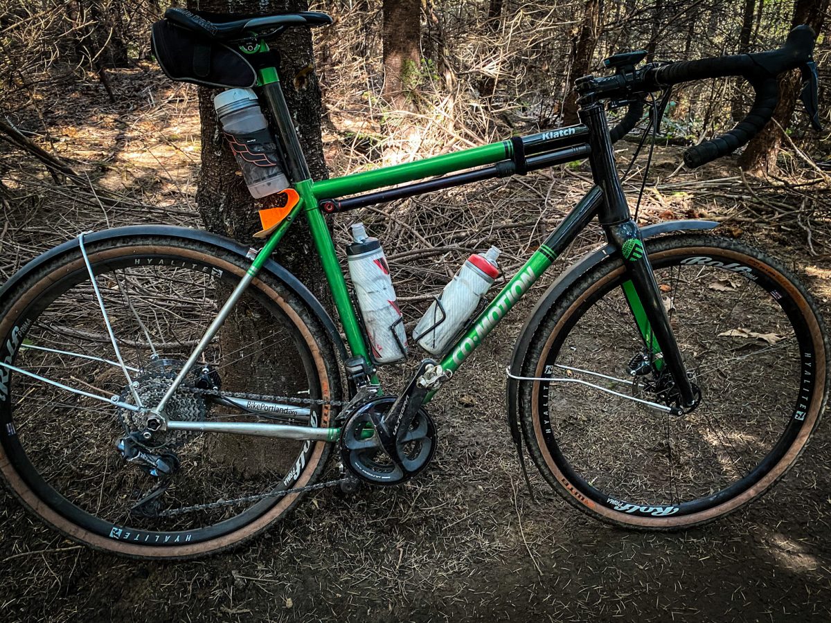
I’ve had several readers ask for more information about the bikes they see in my ride reports. The one I used on this ride is my all-road/gravel/mixed terrain machine made in Eugene, Oregon by Co-Motion Cycles. It’s their Klatch model made from Variwall “THERMLX” steel tubing. I’m running 650b Rolf Hyalite wheels with 42mm WTB Resolute tires and Full Metal Fenders from Portland Design Works, and wide 46 cm Salsa Cowbell handlebars. This is my go-to bike. It’s great on pavement and I can handle any local trail or steep fire-road with ease thanks to the 50/34 front chainrings paired with an 11-40 cassette.
—
Learn more about riding at Rocky Point at NW-Trail.org and on Trailforks. For a deeper look at two people working to make these trails great, don’t miss this article on Chris San Agustin and Julie Baird from Singletracks. And stay tuned later this week for a story about how these trails have led to massive growth of NWTA.
— Jonathan Maus: (503) 706-8804, @jonathan_maus on Twitter and jonathan@bikeportland.org
— Get our headlines delivered to your inbox.
— Support this independent community media outlet with a one-time contribution or monthly subscription.






Thanks for reading.
BikePortland has served this community with independent community journalism since 2005. We rely on subscriptions from readers like you to survive. Your financial support is vital in keeping this valuable resource alive and well.
Please subscribe today to strengthen and expand our work.
I will be looking into this very soon!
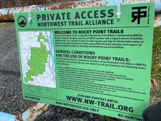
For everyone new to Rocky Point, please make sure you are an NWTA member with a signed lease agreement before using the property. The NW-trail link above takes you to page with all the access info.
Also, don’t forget the ID band for your bike. Fat Tire Farm, Cascade Bikes, and Cyclepath have them for when you’ve signed the waiver. Weyerhaeuser has been keeping a close eye on a lot of the leases, lately.
New Member as of today.
looks real nice. that’s wood sorrel, though, not clover.
The “clover” (photo #1) is actually called Sour Grass and is edible. The stems are my favorite: I slowly mash them in my teeth holding them with my lips, savoring the sour flavor. The leaves are edible too but compared to the stems not so good.
For the record, that “carpet” of “clover” is really more of what I’d consider an “enswathement” of “dingleheath”. It’s fine to eat now, but the real treat is its furry, tiger-striped flowers – which grow in banana-like clusters and, when battered and fried, nearly pass for mozzarella sticks.
The “clover” is Oxalis oregana, sorrel or redwood sorrel. The plant is edible with a tart astringent flavor. It provides little sustenance, but is high in vitamin C and if you are thirsty, it will prompt saliva flow. The flowers are solitary and white. They are not furry nor tiger striped. What ever the heck a “dingleheath” is, this plant is not it. As you really don’t know what you are talking about regarding this Oregon native, it would be wise to refrain from giving advice on the harvest and cooking of wild foods.
Sorry, Granpa. I was just making a joke.
I swear I didn’t mean to upset anyone.
I always called it oxalis and chewed it between chewing licorice fern roots down off Mayberry Lane (I wish that was a joke.)
Last year (or was it two years ago?), when NW Newberry Rd was closed by the slide and became a gorgeous car-free route to Skyline, I remember descending on McNamee and seeing signs in people’s yards about some recreation trails breaking some promise to some constituency or other. Is Rocky Point what the signs were referring to? Or was it something in Forest Park?
The rhetoric on the signs seemed really angry, so I hope folks are feeling better now.
Fred — those signs were referring to Metro’s North Tualatin Mountain parcels and the trail access they’re working on there.
The Rocky Point Trails are on private land where access is subject to a lease agreement between the land owner (Weyerhaeuser) and NWTA, and the trails to be ridden are a result of many years of hard work by the original builders and only recently their collaboration with NWTA.
Per the lease agreement, you must be an NWTA member in good standing and sign the online waiver. More info here: http://nw-trail.org/trails/rocky-point/
Thanks, Paul. Is it these areas? https://www.oregonmetro.gov/file/9665
Will bikes have access to the trails along with hikers? I should see if Jonathan has already written about this situation.
I don’t know the issues but the signs sounded as though Metro had murdered their children and pets.
Those are ones. Bikes are slated to have access to some of the trails.
Here’s more info: https://www.oregonmetro.gov/sites/default/files/2016/03/08/North-Tualatin-Mountains-FAQ.pdf
What kind of rear derailleur do you have? Do you need anything special to run 11-40?
Ultegra Di2 rear derailleur. Pretty sure it’s just stock out-of-the-box.
Thanks for the ride report. Hope to get out to RP soon. Unfortunately, I don’t see myself riding there. Hwy 30 is a total nightmare. Unsafe and unpleasant (noise, smell). Nice to see your pics and route map of the area.
I hear you about Highway 30 Alain. I avoid it during peak times. It’s not terrible on weekends and during pandemics.
And you can always take the back way… Via west hills and Skyline ;-).
The NW Connector bus ($2 from Downtown Portland) might be a good option for you. I’ve had great experiences taking it to the CZ Trail, and it looks like if you got off at the Hwy 30/Havlik Dr stop you’d only have to ride ~2.5 miles back on 30 to connect to Rocky Point Road. Perhaps if you ask nicely and the driver thinks it is safe they will even let you out right there.
Excellent tip, I’ll try the NW Connector some time. As well as Jonathan’s Skyline recommend. Though Skyline might be less traffic’d, it’s not without its crazies, as I’ve read right here on this blog. I might tolerate Hwy 30 if it had Jersey barriers the whole route. I just don’t trust (distracted) drivers to kept from veering out-of-lane and smashing into cyclists. Hurray up Portland, finish the NP Greenway and other off-the-road options for more pleasant riding!
I trust HW30 more than Skyline. Wide shoulders on HW30…nearly no shoulders on Skyline. And people just love to drive their sports cars on Old Skyline.
Ancient thread, I know, but I’m curious – what size Klatch you were riding? Been eyeing a used one, but geo looks like they trend slightly small vs. the stated size.