(Photos J. Maus/BikePortland)
Note: Welcome to the first in a series of posts sponsored by 21st Avenue Bicycles. They’ve stepped up to bring you more coverage of bikepacking and adventure rides. Stay tuned all year as we explore the best backroads and bike-camping spots in Portland and beyond.
There’s a certain satisfaction that comes with finally doing a route that has been in the back of your mind for a few years.
That’s what I did on Sunday by finally connecting dirt roads from Scappoose to the Banks-Vernonia Trail (at Buxton trailhead). In all it was just under 80 miles, with 21 of them on beautiful, often rugged, and remote backroads that I’m still day-dreaming about. Here’s how it went down…
Ever since I first hopped onto Bacona Road during the inaugural Bullshit 100 I’ve been wondering if I could ride logging roads all the way from the Banks-Vernonia Trail to Highway 30. With a bit of familiarity with the western portion, and a few explorations of Tupper Ranch Road (near Otto Miller) on the east side of this route, I felt pretty good about my chances of making the connection.
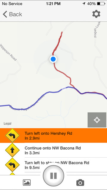
I didn’t do much planning at all for the ride. Thanks to RideWithGPS and my phone, I just woke up on Sunday, pulled up the map on my computer, created a route, made sure it was synced with my iPhone app (I use my phone as my GPS device ever since thieves stole my Garmin!), and set off. I know from my experiences in Columbia County that these areas are all owned by private timber companies. If you stay on the main (named) roads you can pretty much guarantee passage.
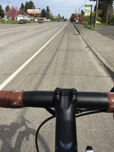
My loop started with 12 miles northbound on Highway 30 to Scappoose. I know “Dirty 30” has a bad reputation (deservedly so), but on a Sunday morning it’s really not that bad; especially when you get north of the Sauvie Island Bridge. It’s a wide bike lane the entire way.
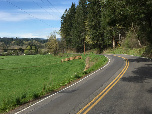
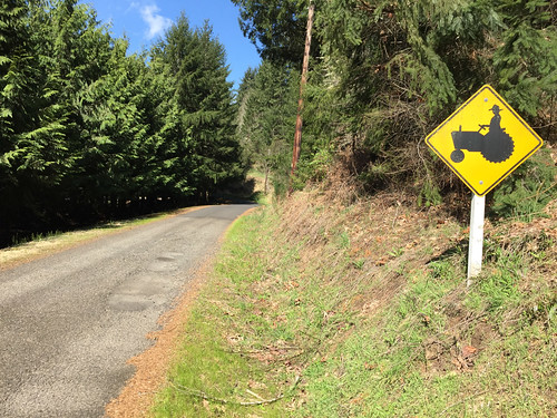
Just before reaching downtown Scappoose, I hung a left to catch Old Portland Road, then went left again on Dutch Canyon Road. This is where the loop turns westward and the ride really begins. Dutch Canyon is a popular road mostly because it’s how you reach the base of Otto Miller — a legendary local gravel climb. It’s also a favorite because it’s quiet and curvaceous and it clings to a small ridge that looks out over an idyllic valley of old, working farms.
Advertisement
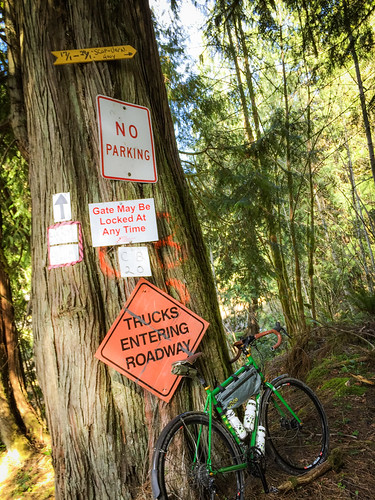
You’ve only got about four miles on Dutch Canyon before you come to your first locked gate. Don’t be deterred by a “Private Property: Keep out” sign taped to the gate. I’m sure that was put there by local residents. Fact is, this land is owned by a private timber company and public access is allowed.
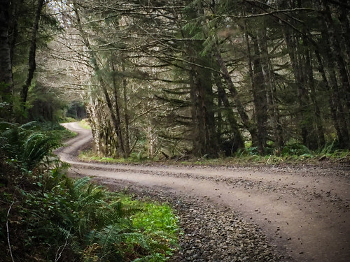
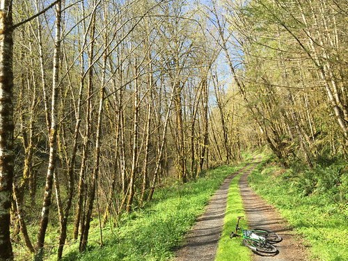
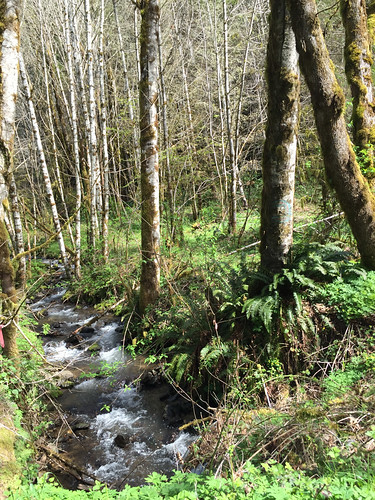
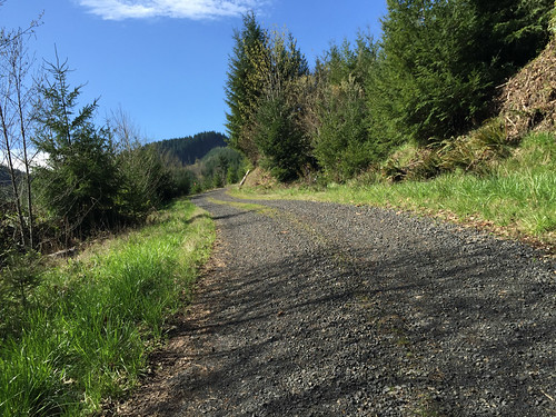
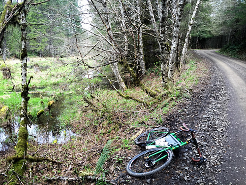
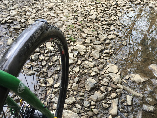
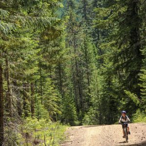
Just beyond that first gate, you are in for a treat. For a mile or so I couldn’t tell what was louder, the sound of gravel crushing under my tires or South Scappoose Creek, which was rushing along just a few feet from them. What a magical section of road! I was dwarfed by birch tree groves of red alder and water was trickling over rocks around every corner.
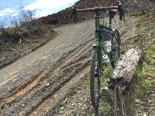
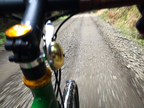
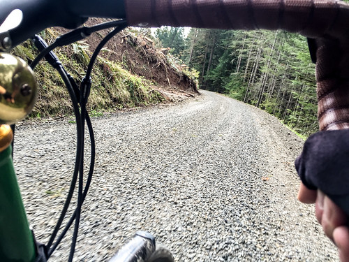
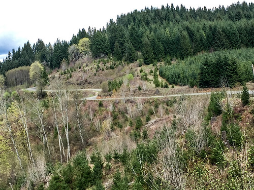
Then it was time to climb. Just 1.5 miles past the gate and that perfect double-track, the road leaves the comfort of the creek and turns skyward for a steep, four-mile, 1,500-foot climb. A climb like that would be hard enough of smooth pavement, but the road here is full of embedded rocks and loose gravel. To me, it leads to that exhilarating challenge of weight balance, a smooth pedal stroke, and aerobic capacity — everything I love about a good, dirt climb.
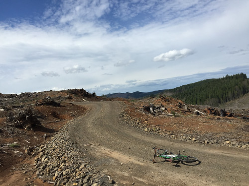
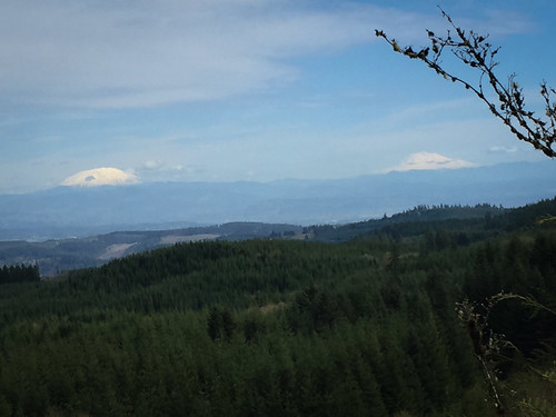
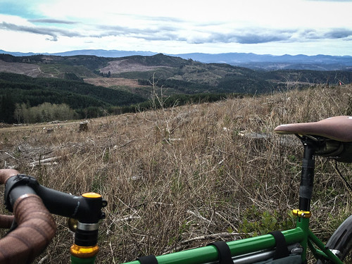
About five miles after the gate you come a junction with Pisgah Home Road. This is nearly the highest point of the ride at just about 2,000 feet above see level. I had lunch next to a vast clear-cut while looking west toward the coast range.
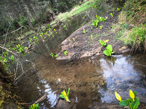
After coming to Pisgah Home Road, the next 10 miles are full of descents that left me smiling to myself. I was having so much fun that a few miles into it I made a wrong turn. I veered right and headed downhill toward Gunners Lakes. Usually a two-mile mistake would be annoying, but turns out Gunners Lakes is something worth seeing. Imagine rolling up to a series of ponds interconnected by wide waterfalls and dotted with birch trees, ferns, and bright yellow skunk cabbage.
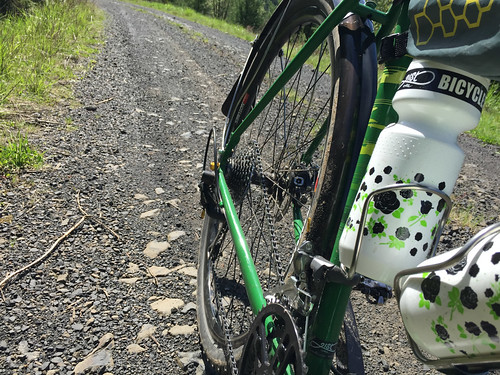
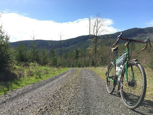
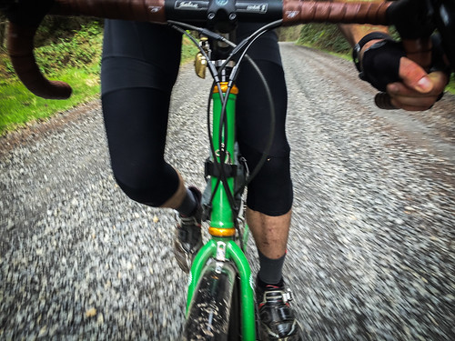
Getting back on track I headed southwest on Bacona Road and began the descent down to the Banks-Vernonia Trail. A highlight of this route is the 10-miles of screaming fast and fun descending from the highest point (2,100) to the B-V’s Buxton trailhead. This was the best gravel road descents I’ve done in years. I was absolutely loving my 40 mm WTB Nano tires and tubeless rims (thanks 21st Avenue Bicycles) as I leaned into corners and just let the bike float over everything while I pedaled a big gear and hung on to my drops for dear life.
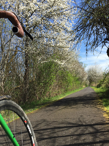
After I rejoined civilization on the B-V Trail, I still had about 35 miles and one last big climb (Springville Road) to go. Besides dreaming of food and a drink when I got home, I used that time in the saddle to re-live those beautiful backroads and to start dreaming up the next adventure.
— Check out the route on RideWithGPS.com. And stay tuned for more adventure riding stories, including a closer look at my new Salsa Vaya. Built up with the expertise of the crew at 21st Avenue Bicycles, it’s the perfect bike for rides like this..




Thanks for reading.
BikePortland has served this community with independent community journalism since 2005. We rely on subscriptions from readers like you to survive. Your financial support is vital in keeping this valuable resource alive and well.
Please subscribe today to strengthen and expand our work.
Awesome!
How do Otto Miller or the climb past Scappoose Creek compare to Gorge legends like Alex Barr or Palmer Mill?
I think Alex Barr is harder than Otto Miller or this one on Dutch Canyon.
I haven’t done Palmer Mill yet.
As I live right under the St Johns Bridge, I’ve always had a Banks-Vernonia Loop on my TODO list. I’ve always though of using the Crown-Zellerbach trail from Scappoose to Vernonia. Is there a reason you didn’t use this trail?
Hi Doug,
The CZ is another good option, but I’ve done it before. It’s nowhere near as challenging, remote, or fun (IMO) as this one.
And, I didn’t mention it in the story, but my route opens up a lot of other very cool loops. It would be easy to connect to the CZ from Pisgah Road. Tons of cool options out there. Just takes some strong legs and a willingness to explore.
CZ from Scappoose to Vernonia is the one that I seem to hear the most about. Didn’t JM write about it last year or summer of 2013?
Hey Peter,
Yep. CZ is definitely more popular.. .which is why I’m not as interested in it ;-). And yes, I did write about it a few years back. It’s really fantastic. http://bikeportland.org/2013/05/20/trails-backroads-and-the-charms-of-vernonia-87034.
Any possibility that you will do this ride again, or know of a group that wants to/will be riding this route? I’d really like to tag along, as it looks like an amazing adventure! 🙂
wow, SOMEONE got a new bike! Nicely done.
For what it’s worth, the trees you have labelled ‘Birch’ are actually
Red Alder. Great photographs and report!.
This is one of the best posts I’ve seen on bikeportland. I love how well you documented this!
Wow — looks wonderful. Is public access generally allowed on logging roads in Oregon? Where I am (California) those aren’t usually open to the public.
Excellent. Not sure how much of this I’ll actually ever do, but the reading and the looking were great. Double extra thanks!
I’ve done this route a few times before. I recommend doing it the reverse direction that Johnathan did. The gradient up Bacona Rd is much better than climbing dutch canyon. Going down dutch canyon is great… Here is a route in that direction with additional cues so you don’t get lost: http://ridewithgps.com/routes/3967758
Stunning photos, as usual.
One tech question: how do you get your iphone battery, running a power-draining GPS app like RideWithGPS, to last an entire 80 mile ride? And where, if anywhere, do you mount your phone while you ride?
Thanks.
Rokform makes bicycle specific cases and mounts for multiple types of phones. There is even one which mounts to your headset instead of handlebars.
caesar,
I carry an external battery in case my phone runs out of juice. Not only am I running the RWGPS app with turn-by-turn directions, I also used my phone for all the photos. I really didn’t even need the re-charge… One thing I did to save juice was to use RWGPS new download feature which allowed me to use the maps offline AND allowed me to turn off cellular data completely.
While riding, I stick my phone in the front of my frame pack right next to my head tube, which makes it really handy. I also have a Handleband which is a nice product, but I didn’t bring it on this trip because I left it on a different bike.
Great post and photos! I want to check this ride out. Btw. The “birch” you are seeing are probably our native red alder which is widespread in the heavily logged coast range… Our native birch is less common and grows in more isolated stands.
Great article JM.
Weather permitting we might try this ride this upcoming weekend,
sweet write up anyone know of camping around the area if needed?
LL Stub Stewart is perfectly situated around the half-way point. Minimal detour regardless of direction. If you’ve got the tires for it, you could check out the singletrack while you’re there too.
Love the Salsa Vaya!
A lot of the timber land in in NW Oregon and SW Washington is owned by two companies -Weyerhauser and Stimson.
Stimson has a Public Access document on their website that lists all of their tracts and what access is allowed on them. Most of them are open on weekends and holidays for non-motorized traffic. I don’t believe that any allow camping within those tracts.
Weyerhauser may have similar rules.
I do know that Stimson suspends access when in “red flag (fire danger)” season, and they have vehicle patrols to enforce it.
I support exploring these roads 1000% and can regularly be found doing this myself – but I highly encourage anyone doing as well to put in a best-faith effort before heading out there to ensure that you are staying within their guidelines, to hopefully maintain access into the future.
In my experience, the timber companies are pretty decent with access, but they will restrict when necessary to reduce possibility of fire. It would really suck to lose access to these roads altogether.
Oh and since I forgot this in my original comment – there is camping in Vernonia proper in the city park, but there is also Scaponia park along 47 that is a bit more rustic.
Thank you! this is awesome. Big ups to 21st for keepin it real too
Fantastic post.
Awesome! Next time bring me!
j. Thank you for laying down this route. Did it yesterday (also on a bodacious 21st ave bike build). This is now my favorite ride within 20 of n portland. The gravel decent to vern banks trail is to die for. So worth the killer but peaceful climbing.
Did this today, thanks so much for putting this up! Loved it.
Are these roads still open to mountain bikers. What do I need to watch out for any off limits areas.