Please note: As of 10/28, the City of Portland has notified us that the path won’t be opened to the public until November 8th. We regret any confusion.
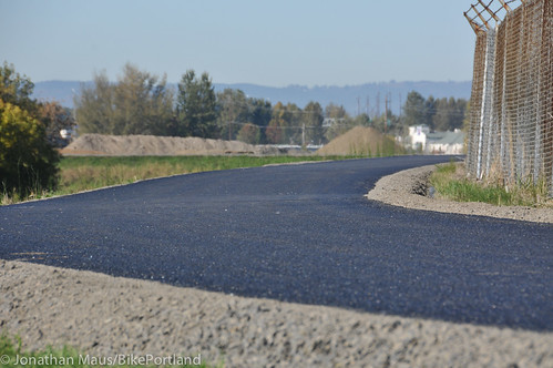
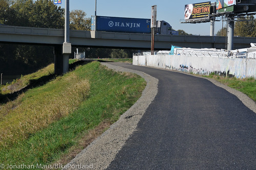
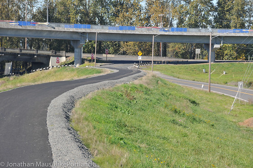
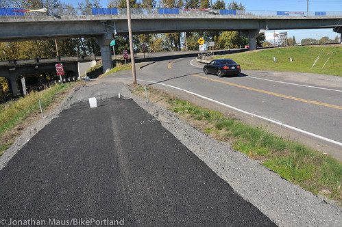
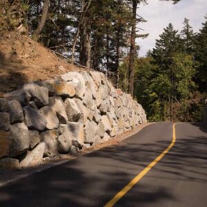
The Oregon Department of Transportation and the Portland Parks & Recreation Bureau have teamed up on a major new biking and walking path along the Columbia Slough in north Portland. The path — which has just been paved between N Denver and Vancouver avenues — is known as the Columbia Slough Trail.
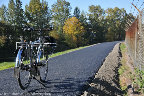
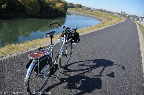
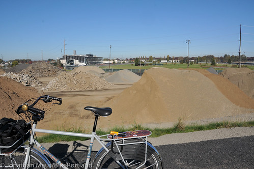
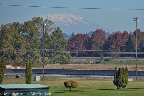
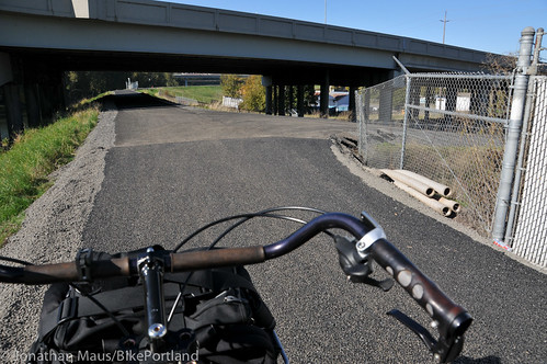
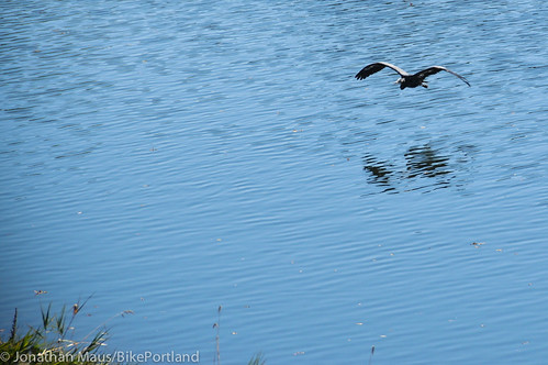
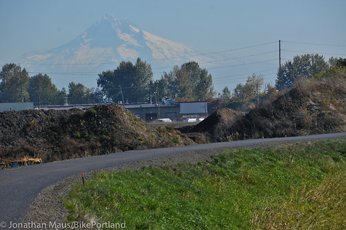
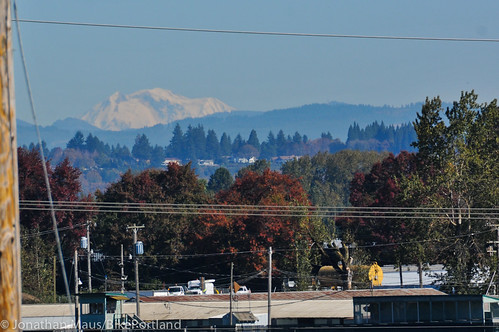
The new path is about 10-feet wide with gravel shoulders and it hugs the Columbia Slough for about 1.2 miles. It offers access to lots of wildlife (tons of birds) and views of Mt. St. Helens, Mt. Adams, and Mt. Hood. From the path you can also see the Portland Meadows racetrack and watch big tractors and trucks at work on several industrial sites (I mention this for those of you with little ones). In addition to entry points at Vancouver and Denver avenues, there’s also a spur out to N Schmeer at Whitaker Road. This creates a much-needed connection for north Portland residents who frequent the Hayden Meadows shopping area (which includes a big hardware store among other things).
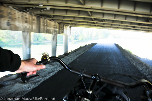
I rolled out there today and took a bunch of photos…
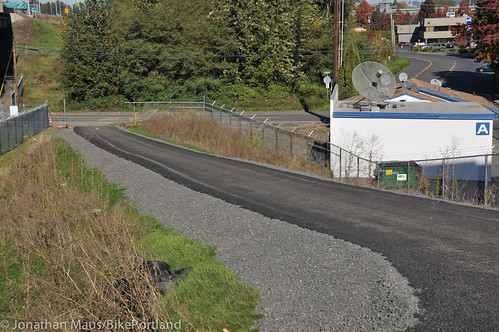
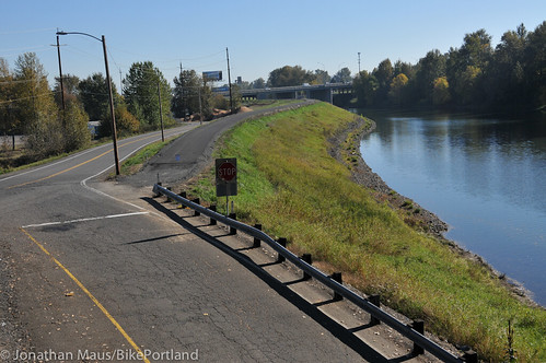
The project cost an estimated $610,000 and about $460,000 was paid for by ODOT as part of the Community Enhancement Fund from their I-5/Delta Park freeway widening project that began in 2002. (Another project ODOT paid for through that same fund was the road diet and bike lanes on N Rosa Parks Way that was completed in 2011.)
This new pathway is excellent news for north Portlanders! Using a combination of PBOT’s existing neighborhood greenways, the Columbia Blvd Path, the Peninsula Crossing Trail, and an already-paved (but pretty bumpy) portion of the Columbia Slough Trail just west of this new portion, riders can create a very nice, family-friendly loop that’s almost entirely on dedicated paths (I’ll share the loop details in a separate post).
And there’s more good news. This new path will connect beautifully to the upcoming changes ODOT has in store with their Denver Avenue project we told you about last week. That project will create a seamless, bike/walk only connection between the existing portions of the Columbia Slough Trail adjacent to PIR (west of Denver) and this new path by closing a section of Schmeer Road to auto use.
All of this adds up to some major improvements for biking along the slough and in north Portland in general. As the paths get more and more attention, the Columbia Slough path is becoming the north Portland version of the Springwater Corridor!
To learn more about what’s in store for this area and share your thoughts and feedback with ODOT, attend their open house tonight (10/22) in Kenton. More details here.


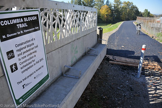
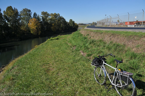
Thanks for reading.
BikePortland has served this community with independent community journalism since 2005. We rely on subscriptions from readers like you to survive. Your financial support is vital in keeping this valuable resource alive and well.
Please subscribe today to strengthen and expand our work.
MORE PICS OF THE AHEARNE!!!!!!
Super cool pictorial. Might want to edit “little boys” to “little kids.”
Booo.
This could be interesting to kids of any persuasion, or age for that matter. It’s not overbearingly PC to point that out.
Nice photos Jonathan.
My little girl LOVES big trucks, cement mixers, etc. I’m pretty sure that she’s not unique – beyond being one-of-a-kind of course.
ok i hear you guys. I thought was a harmless mention of boys… but I’ve changed it.
As a mom, I loved seeing that your recognize what is really important to kids (and therefore to their parents).
What’s the deal with the chain across the path on the shots you took near Denver? It doesn’t look all that visible and seems like an accident waiting to happen.
I think the path might not be 100% open to the public. The Vancouver side is open and the entry in the mid-point near Whitaker Road is open, but that chain remains up at the Schmeer (western) entrance. I’m hoping to hear official word from the City about opening date and/or any final touches they are doing to the path. I’ll update this post when I hear back.
Jonathan: the Vancouver side is presently barricaded off with a NO THRU TRAFFIC sign. Besides the Denver end’s NO TRESPASSING sign.
I don’t think the path is technically “open” yet – I pass the Vancouver ave exit of the path every day and there is a “under construction – no access” type sign there, but no one to really stop you…
I love this new trail! It removes the most dangerous part of my commute (schmeer road) from NE PDX to Vancouver. Coming back from Vancouver, it saves me some energy (I used to spend sprinting along Schmeer road) for the climb back up in NE.
Hooray, at long last, no more riding on Schmeer Road to get from Vancouver Ave to Denver!!! This is excellent news. Well done, ODOT and Portland!
We were riding our Mountain bikes back from PIR short track a few months ago and took this trail (used to just be two ruts through the weeds). Nice that they have made it much more legit.
It looks like another partial section of this path has been completed east of here, along the rebuilt section of Elrod Rd. It’s pretty easy to see in google maps how the new section at Vancouver could connect all the way to 33rd. From there…?
Well, the plan is to make this path connect from Kelley Point Park all the way to Blue Lake Park in Gresham and then eventually Troutdale… so yeah!
Getting the connection to Elrod Rd will be huge. That will allow riders to connect to 33rd and up to the Marine Drive path.
I often take north peninsula rambles on nice days after work (tried but failed to find the old city dump road today), an I’m curious what the access on the slough is like between MLK & 33rd. Anyone know? I’m guessing it’s also “officially closed” given the fences I’ve seen near MLK but I’m curious if there’s any kind of connection that can be made at present. As you note, it seems as though the satellite pictures show a paved portion out there, which is exciting.
Not that I would consider any sort of trespass or illegal entry. That would be wrong, and I wouldn’t do it. Of course.
This new path is huge — you can now ride your bike from Portland, OR to Hayden Island without going on any horrifically dangerous routes.
The Vancouver Ave — Columbia Slough Path — Whittaker Road — Delta Park route gets 2 thumbs up from me. I tried it last week coming home ftom Lowes.
But. 10′ wide? And less than 2′ gravel shoulders? This certainly isn’t “best practices” and probably doesn’t meet code. For $610,000.00 I’d think they could throw down for a 12′ path and 3′ shoulders. There’s space. Would take more fill on the back side of the dike, but I’m thinking that for all the fundraising, permitting, engineering, grading, tamping, paving and signage effort that went into it, they really should have gotten a state of the art path out of the deal.
Ted Buehler
Hi Ted,
Yes, in general the bigger the better. However, this is not a normal situation. In this case the City did a fantastic job negotiating this trail with the Army Corps of Engineers (which has a powerful grip on anything that happens on the levee system). Since Katrina, the restrictions on levee impacts (ie. building trails or slopes or anything else) have become much more stringent. The new trail that you see today on the levee is the product of many years of the City’s hard work going through the Army Corps’ permit process. Any more impacts to the levee (wider MUP, for example) would have required years and years of additional permit process — and significantly more $$ for the analysis that the permit process would have required. ODOT is excited to get its project underway next summer to link the City’s fine facilities to one another.
Mike
Hi Mike,
Thanks for the reply. I didn’t think there’d be an issue with adding fill on the back side of a dike, but I guess there is.
Ted Buehler
It will be great to have a much safer route to the soccer fields at Delta Park. We may see more families riding now.
This connection is much need and I’m certain will see a lot of use when it’s (officially) open. I like having the option of N Vancouver or N Denver to hit the Slough Trail, and N Vancouver is much more direct from where I live. Does this new pavement on the Slough Trail go all the way to Portland Road?
I meant “much needed”…
The only thing that the Slough trail has in common with the Springwater is that as of the afternoon of 10/22, multiple entrances are CLOSED. On the slough, that means ALL of them.
From Vancouver, there’s “ROAD CLOSED TO THRU TRAFFIC”
From Whitaker, there are orange pylons and (torn down) yellow CAUTION tape
From Denver, there’s the wire, and a “NO TRESPASSING” sign.
But by all means, bring “the little ones”, to the “major new biking and walking path” that ODOT and PPB have decided to “open”, but for any means to access them.
Yes! Haven’t had the time to get over there recently, but am impressed with that smooth looking path. Can’t wait to try out a whole connected route with Denver one day.
Any infrastructure addition is great, but the section to the west between N. Denver and N. Portland Rd. is getting ugly and needs repaving nearly as bad, rode it on Sunday to watch Cross Crusade and in sections it’s devolved to 100% dirt. Also the section that is the closed-off road from N. Portland Rd. into Smith & Bybee Wetlands needs work. For a while the old roadbed was holding up to bike/walking use, but now weathering and tree roots are degrading the pavement with ruts and ridges.
Jason — take a pic and send it in to safe@portlandoregon.gov
Or send an email without a pic.
If a couple people send it in, it will probably get fixed pretty quick.
I’d prefer to let the pavement continue to rot. Why does every path need to be paved?
Just wanted to let folks know that I’ve finally heard official word from the City of Portland that this path won’t be officially opened to the public until November 8th. Sorry if this article caused any confusion.