The Portland Parks & Recreation bureau wants your help to design the future Red Electric Trail.
As we shared back in June, Parks won a $750,000 federal pandemic relief grant to finalize the design and planning for a half-mile section of the Red Electric Trail between SW Shattuck Road and SW Cullen Boulevard in the Hayhurst neighborhood. Since our last report, city staff have held several open houses and done other outreach and have come up with a preliminary design. A new survey that closes this coming Monday (December 11th) aims to iron out a few last details before the design can be completed and the city can come up with a cost estimate. Those two steps are crucial to getting this project funded and built!
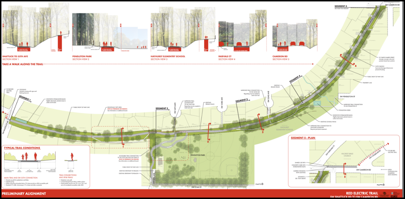
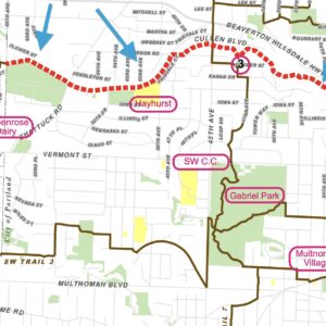
The alignment of the paved path will head east from Shattuck (across the street from the Alpenrose Dairy site), through a community garden, park, part of Hayhurst Elementary School, then along SW Cameron Road.


Parks planners have broken the design down into five segments. Starting from Shattuck and moving east, the plan for the trail would include:
- Marked crossing from Alpenrose across Shattuck with signs and flashing beacons.
- Two-way, paved multi-use path that will range from 10-12 feet wide with two-foot gravel shoulders.
- Spur trails would be built around seasonal wet areas and to reach adjacent destinations (the school).
- Connections to existing trails.
- A new crossing at SW Fairvale Court and Cameron Road.
- Shared-use path along north side of Cameron Rd separated by concrete curbs.
- Speed cushions on Cameron Rd.
The project also plans to install trail amenities like benches, bike racks, wayfinding signage, new lighting, informal play structures, and more.
The survey asks for opinions on how best to design around a seasonal wet area, whether or not a spur trail in segment 1 should be prioritized for improvement, how best to design an accessible trail connection through Pendleton Park, and gauges interest in the planned list of amenities.
You can take the survey online until this coming Monday at 9:00 am. Learn more at the official project website.


Thanks for reading.
BikePortland has served this community with independent community journalism since 2005. We rely on subscriptions from readers like you to survive. Your financial support is vital in keeping this valuable resource alive and well.
Please subscribe today to strengthen and expand our work.
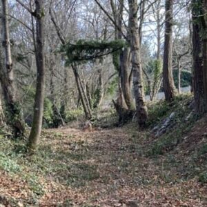
The question about the “seasonal wet area” really concerns me. Currently the old RR cut west of Pendleton Park is basically a pond in the wettest winters (like now).
Is PP&R saying they will pave that section and then let it flood in winter? – so we’ll have to bike on a gravel spur trail unless we want to cycle thru two feet of water? I hope not. We should have an excellent riding surface on the paved trail at all times of the year, just as cars always have excellent paved surfaces to drive on.
It’s much less of a big natural wetland and more of a lowspot from the old red electric cutting through the landscape. PP&R solution is to fill it back in which I think would work since it’s not a big area.
I heard it was created by someone dumping nursery refuse in the area, creating a dam or something.