
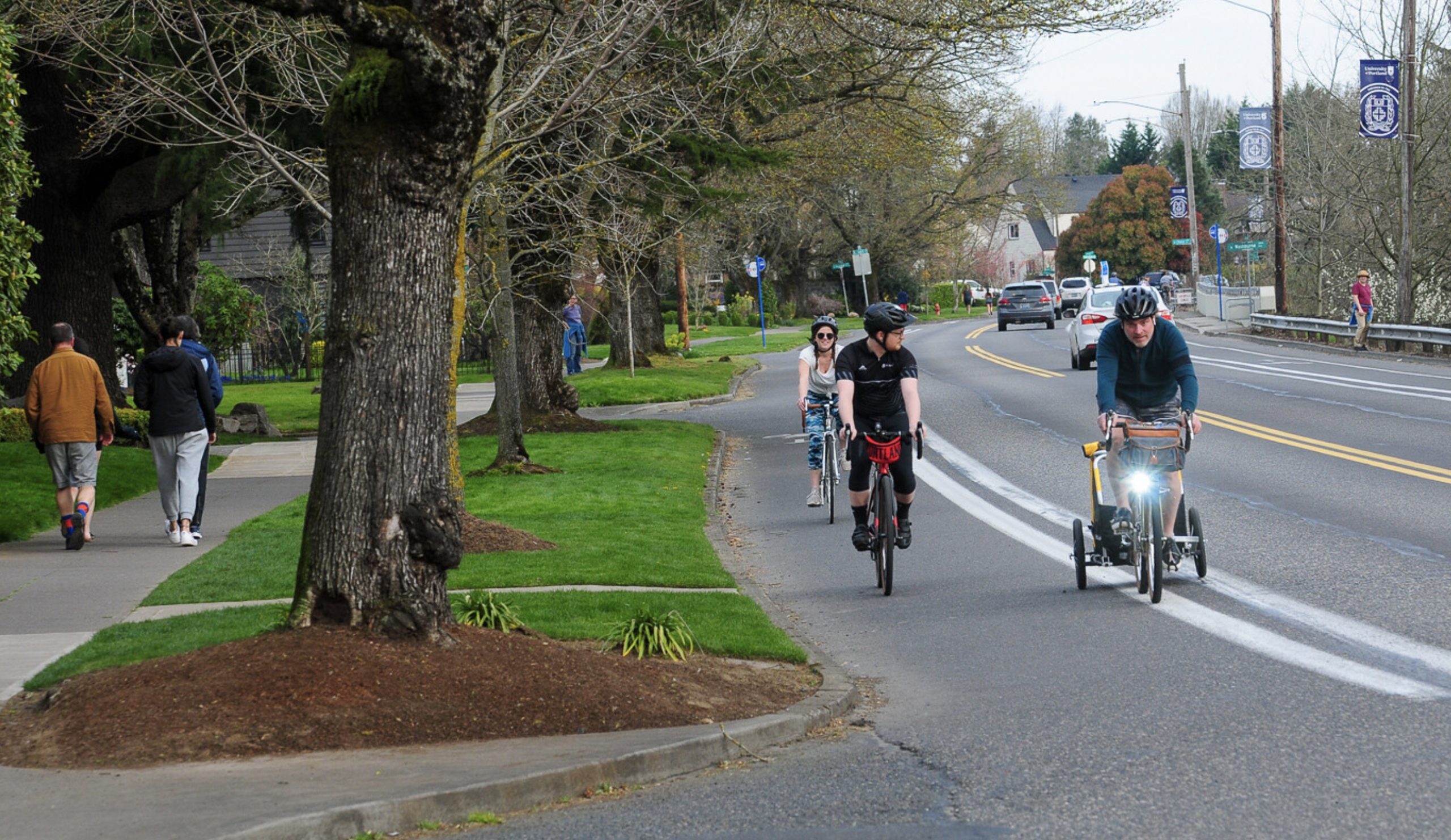
(Photo: Jonathan Maus)
The Portland Bureau of Transportation has launched a comprehensive planning process for the northern tip of the city.

(Graphics: PBOT)
With North Portland in Motion, PBOT promises to:
Engage deeply with North Portlanders to understand transportation needs and barriers to meeting daily mobility needs. Identify a near-term prioritized investment strategy of projects and programs to improve conditions for walking, biking, and transit. Build new relationships with community-based organizations to represent the diverse neighborhoods and communities within North Portland.
“In Motion” plans have become a go-to strategy for PBOT for at least a decade now. It started in 2011 with East Portland in Motion and we’ve since seen Central City in Motion (2016), Northwest in Motion (2018) and Southwest In Motion (2019).
Advertisement
The basic idea is to take a deep dive into one section of the city. Staff does outreach and garners feedback through open houses and events, then works with a volunteer committee to understand the issues. The final product is a prioritized list of projects that can move to the next stage of development and implementation. Funding isn’t part of these plans, but it flows more easily once this type of work is complete.
The formula has worked well. By working closely with community residents and organizations to agree on priorities, “in motion” plans give Portlanders an effective advocacy tool and also create the bureaucratic inertia and political will needed to get things built.
PBOT says it’s north Portland’s turn because the area is “long overdue for a community-driven transportation plan.” “We’ve heard for many years from people who live and work in North Portland that there is a lack of attention and investment in the transportation system in the North Portland peninsula.”
The study area is defined roughly by Overlook Park in the south, I-5 to the east, Columbia Blvd and Pier Park to the north, and the Willamette River to the west.

Currently, this part of Portland is a very mixed bag. East of “the cut” — a railroad corridor that separates the Portsmouth and St. Johns neighborhoods — there’s a relatively strong grid of neighborhood greenways and other bike-friendly streets like Willamette, Greeley, and Rosa Parks Way. West of the cut the network is less developed.
Lombard, an ODOT-owned state highway and major freight route, bisects the planning area and will likely loom large throughout the process. Other focus areas might include an extension of the extremely popular bike lanes on Willamette Blvd (something that’s been promised for years), access to the St. Johns main street commercial corridor, where to route new neighborhood greenways, improvements to the Peninsula Crossing Trail, and more. (Sorry, the St. Johns Bridge is not in the project scope.)
North Portlanders are eager to get this process started. They’ve been organizing on an informal basis around safer streets for years after a tragic spate of collisions galvanized neighborhoods in 2016. In late 2017, Oregon House Speaker Tina Kotek spoke at a town hall on traffic safety in St. Johns after several fatal and serious injury collisions on Columbia and Fessenden near George Middle School.
PBOT says the process will take about two years and a plan will be adopted by council in Spring 2023.
Stay tuned for updates and opportunities to weigh in and check out the project page to sign up for project emails.
— Jonathan Maus: (503) 706-8804, @jonathan_maus on Twitter and jonathan@bikeportland.org
— Get our headlines delivered to your inbox.
— Support this independent community media outlet with a one-time contribution or monthly subscription.


Thanks for reading.
BikePortland has served this community with independent community journalism since 2005. We rely on subscriptions from readers like you to survive. Your financial support is vital in keeping this valuable resource alive and well.
Please subscribe today to strengthen and expand our work.
What’s the current situation on the npgreenway? Is that dead in the water? The train tracks south of UP get a fair amount of cyclist travel despite the conditions.
Every so often there seems to be signs of life on parts of it. The University of Portland is building the trail through their new waterfront campus. The bridge over Columbia Blvd seems to be moving forward. A couple years ago PBOT applied for a grant that would have covered the cost of building the section between Cathedral Park and Pier Park, but I don’t think it was successful. Similarly the Metro transportation measure would have included funding for a section between the Steel Bridge and N Tillamook.
Thanks. Is the ROW secured for that steel br section?! That would be amazing.
I’m not sure what the thinking was, and the Get Moving 2020 website is no longer up. There are some stretches of Interstate where there’s excess ROW, but otherwise where it’s really constrained. I don’t see how it would be possible to go under Broadway without spending a lot of money.
One idea would simply be to cede that short section of Interstate S-bound from Tillamook to Larrabee to walking/biking only. There’s no local access needed, and the S-bound Interstate off ramp onto Larrabee serves the same purpose. That would allow separated access essentially all the way from the Steel along Thunderbird way to Tillamook/River street. I’m not sure where the negotiations went years ago with UP along the waterfront N of the Fremont. I’m guessing not well.
I have long hoped that the NP Greenway wold go under the Steel Bridge on an elevated walk over the RR service road. It would connect to the landing on the east of the bridge over the RR tacks to the esplanade so people on bikes could either head west to the esplanade/downtown or east to the Blumenauer Bridge but avoid the cluster of MAX/bus and car lanes. I also second Earwriste’s notion of closing that one section of Interstate to people driving. The southbound lane between the Signal at Tillamook and the signal at Larrabee would be for non-motorized travel, people driving would take the flyover.
It might become part of the City’s North Reach River Plan, part of their implementation of Oregon Planning Goal 15. Would be nice if the silos broke down and PBOT and BPS would work together on it!
I think the strategy in St. Johns is to crowd fund some Teslas we can park on the street. Once the neighborhood appears appropriately gentrified, CoP should be much more interested in completing the North Willamette Greenway
Hooray for North Portland! SW Portland will be waiting a long time for something similar. Can’t even get one continuous, somewhat level bike lane to downtown from here.
Southwest in Motion was adopted a couple years ago and there are a lot of resulting investments coming to the area.
Hey Fred, SW got Southwest in Motion (SWIM) which has been rolling out for about year, with a lot of new projects breaking ground this spring.
To Southwest, Barbur, downtown to Barbur World Foods, had separated bike and pedestrian facilities in the SW Corridor light rail plan which was voted down. Downtown to the Sellwood bridge on the West side is fairly bikeable. Terwilliger is far from level, but has decent bicycling. Capitol Highway between Multnomah Village and Barbur World Foods is going to have new bike and ped facilities.
Though the area is not included in the map, I hope they review some of the higher speed crossings getting to and from the Columbia Slough Multiuse path (Lombard & Vancouver, Columbia & Vancouver, Lombard and Albina, Columbia and Albina, North Interstate to and from Kenton, Fiske & Columbia at the Water treatment plant) as well as it’s connection at Schmeer & Whitaker to Delta Park. There’s some really great car free biking opportunities that are marooned to the ‘Curious but Concerned’ crowd due to high speed corridors.
Right Su. I would argue that part of the CRC 2.0 should include intended routes for all modes. Typically, during the process they plan to expand freeways and all on/off ramps for miles north and south. With bike routes, it’s just the bridge. A safe, separated and direct space must be an integral part of this N Portland in motion as well as the new bridge project plans.
I’ve looked into my crystal ball! I see PBOT not addressing 99% of the concerns residents have and only implementing projects in the affluent neighborhood Overlook….
But seriously, can we please stop with this? It would faster to just light the money on fire. The city should know what problems NoPo has because it’s the same problems every other part of the city have. Lack of sidewalks, lack of infrastructure to slow down motorist, poor pedestrian infrastructure on ODOTs orphan highways, lack of dedicated safe space for non-motorized traffic.
This performative outreach is getting old and zero people care about it anymore. The usual suspects will come out, PBOT will pat themselves on the back and NoPo will be just as hard or harder to traverse in five years.
Yeah, and I imagine that you should see that this will probably garner more opportunities to request more signs!
Throw some out more signs! Those will help!
SIgns!
Close the quiet part of N Willamette to auto traffic!
npGreenway is alive and kicking! Note that most of the area targeted by this PBOT project is in residential and commercial areas, so the N. Portland Willamette Greenway Trail is mostly off the map! The exception is the all important link from Cathedral Park to Pier Park via N. Decatur and the amazing Baltimore Woods. Important to call this out!
However note that Metro and Portland Parks continue to work on the Columbia Blvd. Bridge project (30% design) that will connect Pier & Chimney parks to the St Johns Prairie (former landfill) which Metro is currently restoring. Metro is also at 30% design for the Greenway Trail around the Prairie, including a view point looking out over Smith & Bybee Lakes toward Mt. St. Helens.
And early design work is continuing on the all important North Slough Bridge that will link all this to the Trail up to Kelley Point Park and to the sprawling Rivergate District.
Agencies are at a critical point where money is short and the question of who’s doing what complicated. Let Mary Nolan, new Metro Counselor for N. Portland, and Carmen Rubio, new City Parks Commissioner, know how important these projects are to N. Portland and the entire region!
Meanwhile, DEQ just released their proposed and long awaited clean up plan for Willamette Cove; it falls short of a total cleanup, so npGreenway, Portland Harbor Community Coalition, Portland Audubon and others are calling for Metro to go the extra mile to make Willamette Cove a fully cleaned up and restored first class regional park and natural area. Another opportunity for folks to weigh in.
On Swan Island, PBOT has proposed a combination sidewalk, Trail, cycle track along N. Basin Avenue from the Waud Bluff Trail down to the existing Greenway Trail along the River. More work needs to be done with area businesses, but at least we now know what $7M will get us there.
Last, the Ash Grove Cement Road continues to be an unofficial, but favored route to Swan Island from the south with the roughest part of the ride just south on the publicly owned N. River Street. Biggest danger? 5 unmarked rail crossings! Rail cars are mostly moved at night. Greetings to Officer Bender of the UPRR police!
PS I am a board member of npGreenway aka Friends of the North Portland Willamette Greenway Trail
Awesome Lenny! Thanks so much for your work. I think this might be the longest running trail effort in Portland? I feel like I was a kid when this started. To me, the most important section is the RQ part between the Steel and Tillamook. Are there new developments on this? It appears the site has no real plan for a separated section here where it is needed most.
I’ve also ridden the section W of the Waud Bluff bridge tons of times. One of my favorite big gravel sections. When will this become official? How can I help?
Greetings Officer Bender!
Lenny, thanks for all of your amazing work by you and the NP Greenway board. Did you guys consider a trail at the base of the bluff from Waud Bluff to under the Going Street Overpass? That is a beautiful natural bluff that would be very beautiful and totally non-stressful to walk of bike on, plus you could make connections up to the Dog Bowl and Adidas. The path would need to rise up to travel over the tunnel (which would be cool) and that would provide a nice view and Swan Island and the City/West Hills beyond. I love the path along the river, but connecting to it along surface streets will never be low stress, the intersections are truly scary on Swan Island!