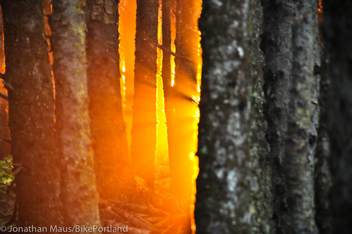
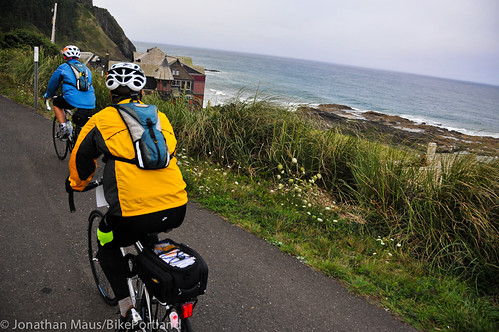
After a rest day Wednesday (when I managed to sample some of Newport’s finest singletrack mountain bike trails — more on that in a separate post), the Amgen People’s Coast Classic continued its southward journey in earnest today. Our ride started out in Yachats on a section of the Oregon Coast Bike Route that could have been mistaken for the Road to Hana in Maui. But before getting started on today’s ride, I have to share a photo of last night’s fiery sunset in Yachats…
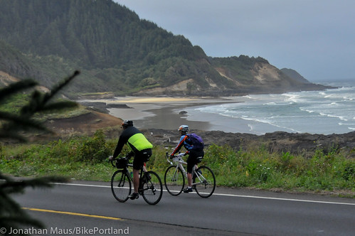
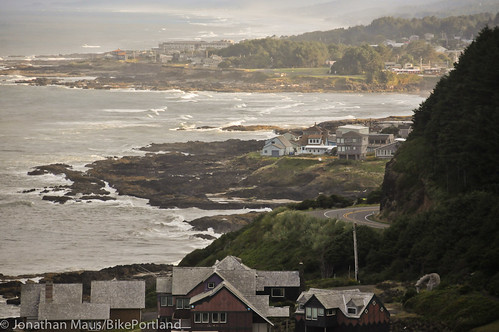
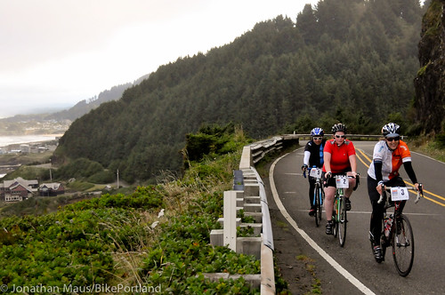
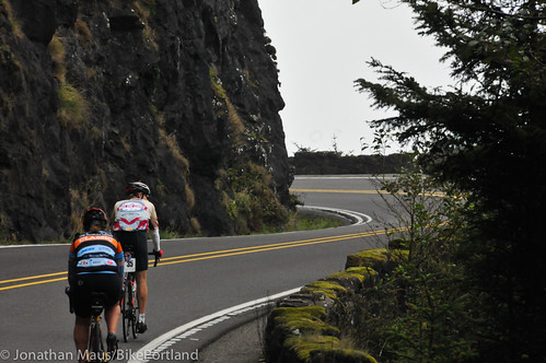
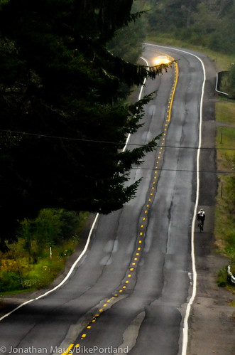
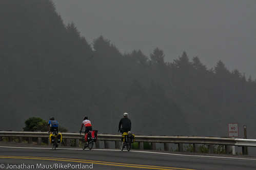
Between Yachats and North Bend, the Oregon Coast put on a dramatic display. The cliffs and lush forests of Cape Perpetua and Heceta Head offered out-of-this-world views (in fact, one of the beach areas was actually called Neptune). We watched a pod of surfing sea lions, then browsed the huge gift shop at the Sea Lion Caves.
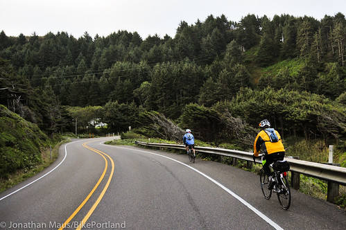
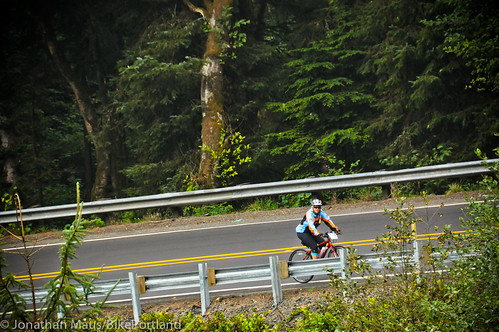
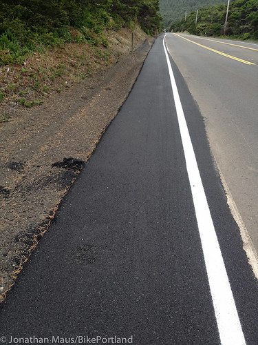
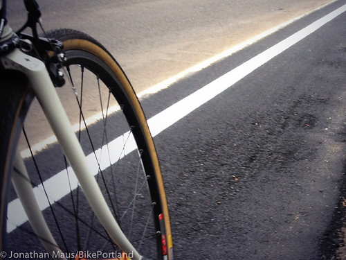
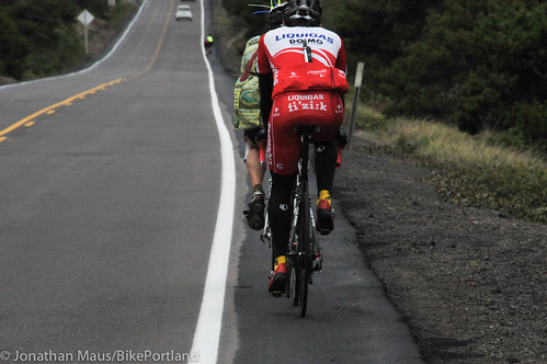
It was in this area where I came upon the newly paved shoulders that were the subject of our coverage last month. The smooth, freshly paved shoulders were very nice to ride on. I found myself feeling very grateful that Jeff Smith raised his concerns about ODOT’s paving job and that the agency responded so quickly…
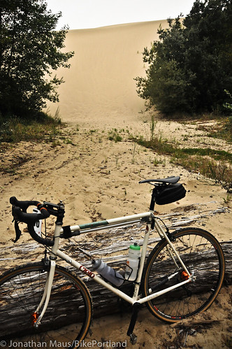
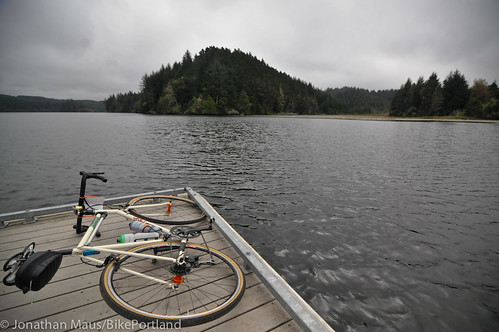
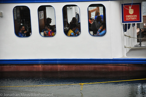
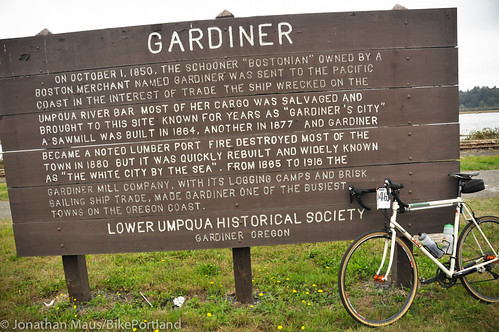
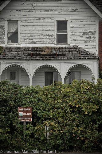
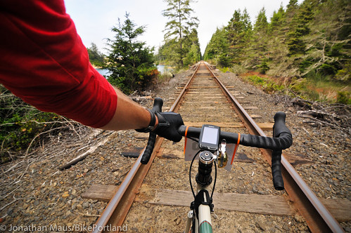
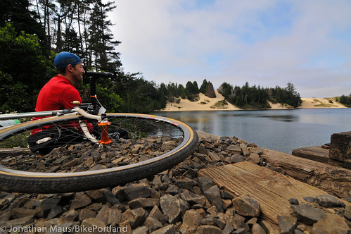
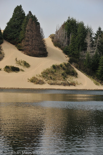
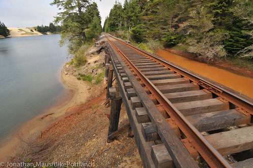
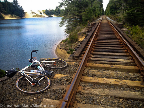
As we left the coast, we entered the city of Florence and the Oregon Dunes National Recreation Area. Being my first time on this part of the coast, I was surprised about two things: How massive these sand dunes are, and how many lakes are in this area. Some of my discoveries included: the thriving, historic Old Town district of Florence; the idlyllic Lake Tahkenitch; the ghost town that is modern-day Gardiner; eating Unger’s Fish and Chips on a boat in Winchester Bay; and Clear Lake, which I got to by riding 1/4 mile down railroad tracks…
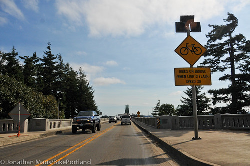
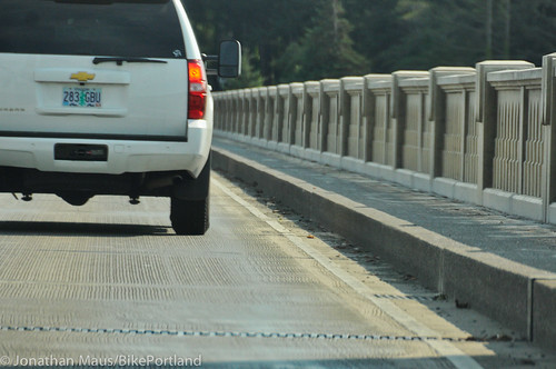
As we approached North Bend, ride organizers had set up shuttles in order to take us safely across the Coos Bay Bridge. Ride Director Tai Lee said the bridge is simply too long and too dangerous to ride on. Instead of taking a risk, his policy is to shuttle all the riders over in motor vehicles. To me, this is a very disappointing reality about the Oregon Coast Bike Route: How can we have a state-managed transportation facility that doesn’t allow equal access to people riding bicycles?
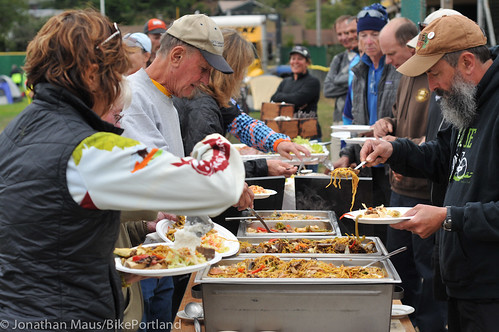
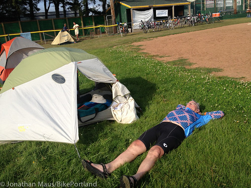
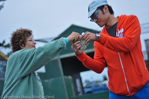
Once we got into camp (the outfield of the Clyde Allen Ball Field in North Bend), everyone settled into their usual rituals. Rest was taken, another excellent meal was served by CravePDX Catering, and everyone came together for announcements. One ritual I’ve come to enjoy on this ride is the tradition of “road donations.” This entire event is focused on raising money to fight arthritis. Everyone on the ride had to raise a minimum amount just to be here; but the fundraising doesn’t stop once the ride starts. That’s where road donations come in. Each night after dinner, riders share stories of money they raised from people they met on the road. The stories are inspiring and heartwarming, and they show what a powerful force for good bicycles — and more importantly the people that ride them — can be.
Tomorrow should be another stellar ride. About 70 miles to Arizona Beach with many of them off Highway 101. Stay tuned for more reporting from the road. And by the way, I’ll plan to put all my thoughts about ODOT and highway riding conditions into one post. Thanks for following along so far!




Thanks for reading.
BikePortland has served this community with independent community journalism since 2005. We rely on subscriptions from readers like you to survive. Your financial support is vital in keeping this valuable resource alive and well.
Please subscribe today to strengthen and expand our work.
I so want to ride this coast, but I’m afraid I would have to do it without my family. Too much of it looks to scary for them. Great series.
I’m really enjoying your posts, especially since I’m leaving on the same route on Saturday. 🙂
There’s an alternate route for the Coos Bay bridge.
https://www.crazyguyonabike.com/doc/index.html?doc_id=12467
You can ride over the beautiful Conde McCullough Coos Bay bridge, as I did many times when I lived down there. The sidewalks are 3.5 feet wide and no worse than riding over the I-5 bridge connecting Portland and Vancouver.
The sweeping views of such a damn gorgeous area from the bridge are stunning. Go ahead Jonathan, ride it this morning before breakfast. 🙂
I would liken it more to the Sellwood Bridge, except much longer and with faster vehicle speeds.
Actually it’s a significant difference, Dan!
The I-5 bridge has a guardrail and large steel beams separating you from certain injury or death if you happen to blown into or fall down into the highway traffic. It is not recommended to ride on the sidewalk but rather to take the lane on the mile long bridge where cars and trucks routinely travel at 55 mph or more.
It may be a beautiful bridge to look at. It’s just not designed for riding a bike over safely and comfortably. What a shame.
I didn’t see anyone in the group pulling a trailer, and from the photos it doesn’t look like the sidewalk is being used (much) by pedestrians. I am curious to hear more about people’s experience biking across this bridge/on the sidewalk. I feel like the Sellwood bridge comparison seems pretty apt. Falling off the sidewalk is a problem pretty much regardless of the speed or volume of car traffic at your left elbow. Even if there’s no sidewalk it is/can be a problem.
Would adding a skinny guard rail between sidewalk and road work/make a difference?
Yes, Coos Bay bridge is similar to riding over the old creaky Sellwood bridge with maybe an inch or two more usable width and a hundred feet higher. I would definitely not ride a bicycle over the long bridge taking a traffic lane. And of course, if a southwesterly gale is hitting the coast, prudence dictates caution.
Great suggestion to add a skinny guard rail. Maybe a pilot project? Hint, hint, ODOT 😉
Thanks for the route suggestions guys. Thing is though, I’m on an organized ride, so out of respect for their needs (and liability concerns, etc…), I’ll do whatever they tell us.
I was thinking more of letting the organizers know, not deviating from the group. 🙂
Yachats was one of the best parts of my ride down to SF. Very beautiful!
Those “freshly paved shoulders” look OK (some pics look better than others) but I don’t like that the shoulder lost–and the car lane gained–8″ or so over the previous striping.
I’m enjoying this series, especially all the photos. Thanks, Jonathan!
I measured the driving lanes on 101 a couple years ago near Cannon Beach, they were 13′ wide. A standard driving lane is only 12′, and nothing wider is supported by the Oregon Highway Design Manual. It may be that a lot of the coast is striped for supersized driving lanes. That extra foot of bike lane would make a huge difference with RVs and logging trucks. Especially in those places where there’s not even enough shoulder to operate a bike outside of the driving lane.
If you have a piece of string and can measure it off at 12′, you might find that there’s the potential for much more bike lane on the coast.
FWIW,
Ted Buehler