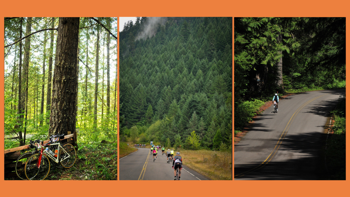
It’s shocking it took this long but I’m happy to say Aufderheide Drive is now an official State Scenic Bikeway.
As expected, at their meeting Wednesday the Oregon Parks and Recreation Commission approved an application to make Aufderheide Drive, also known Forest Road 19) the 18th official Oregon Scenic Bikeway. The Scenic Bikeway program began in 2009 and this is the first new designation since 2017.
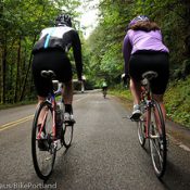
The 60-mile route through Lane County winds along two rivers deep in the Willamette National Forest. Unlike other routes in the catalog, this one requires no turns and there are no intersections. Just stay on NF 19 and you’re good. And there’s even a wonderful lodge and covered bridge to explore at the southern terminus in Westfir (near Oakridge). The route passes by hot springs, old growth forests, meadows, and abundant wildlife. If riders want to pack a sleeping bag and explore further, there are five campgrounds and more than 25 trailheads along the route.
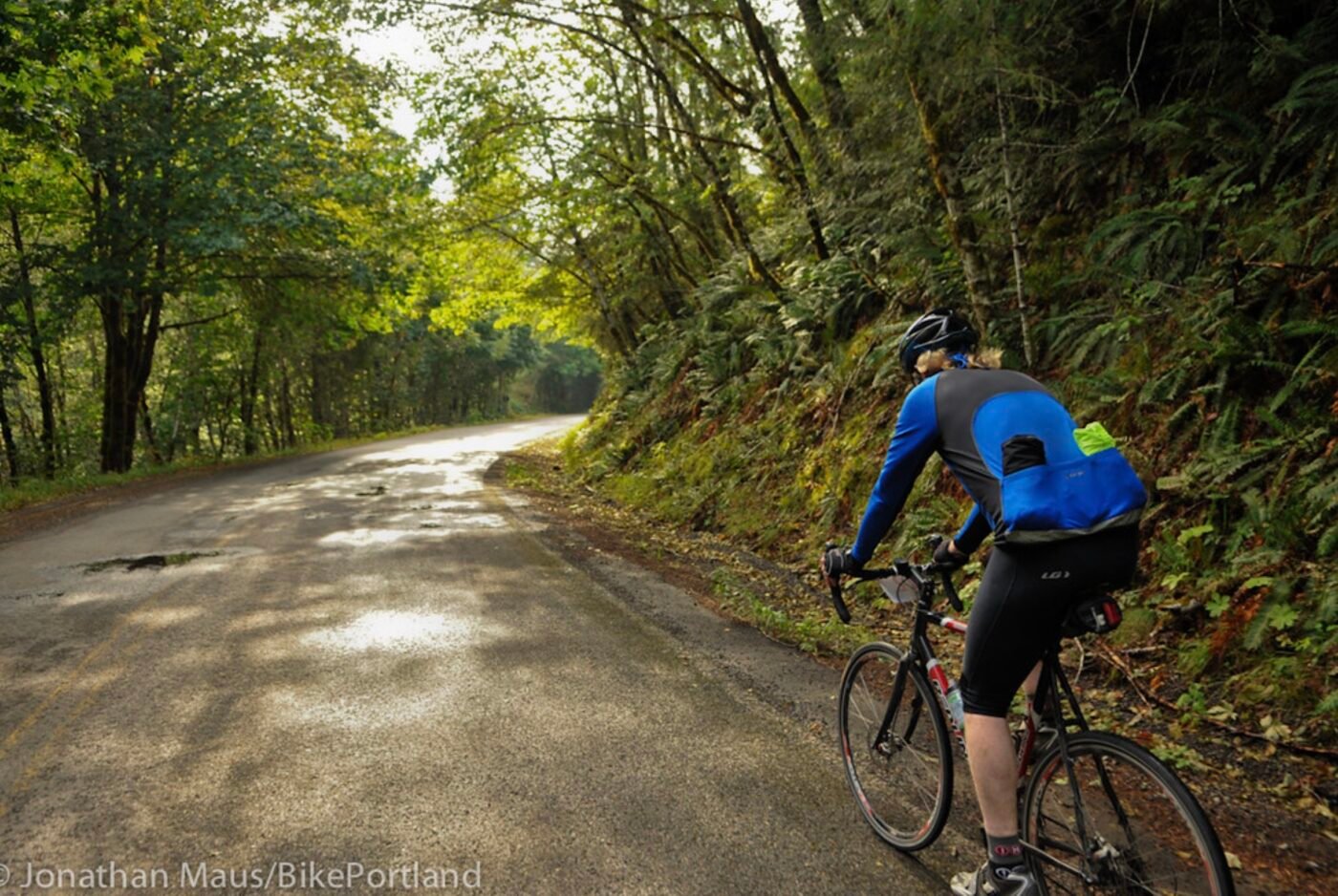
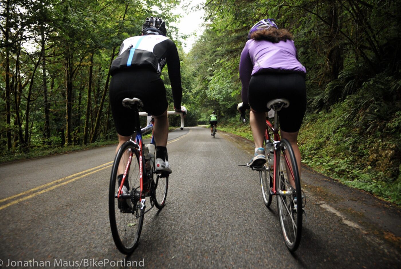
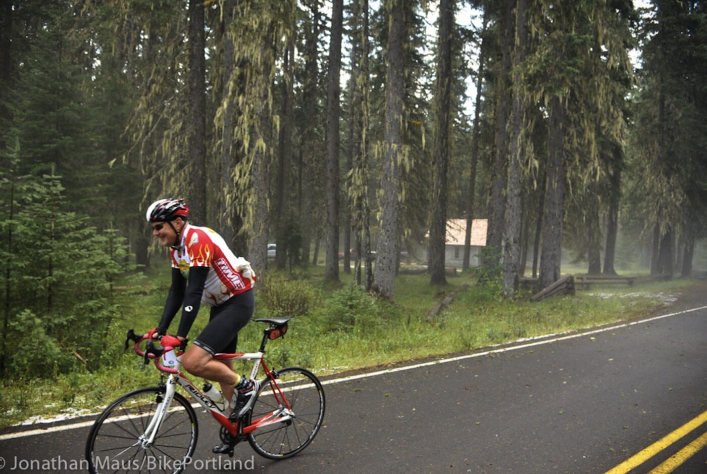
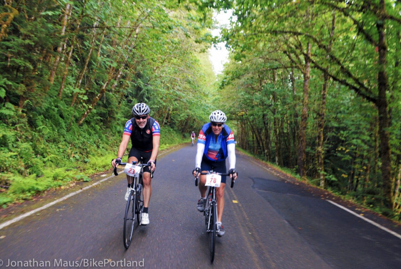
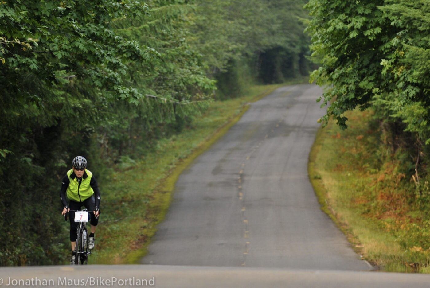
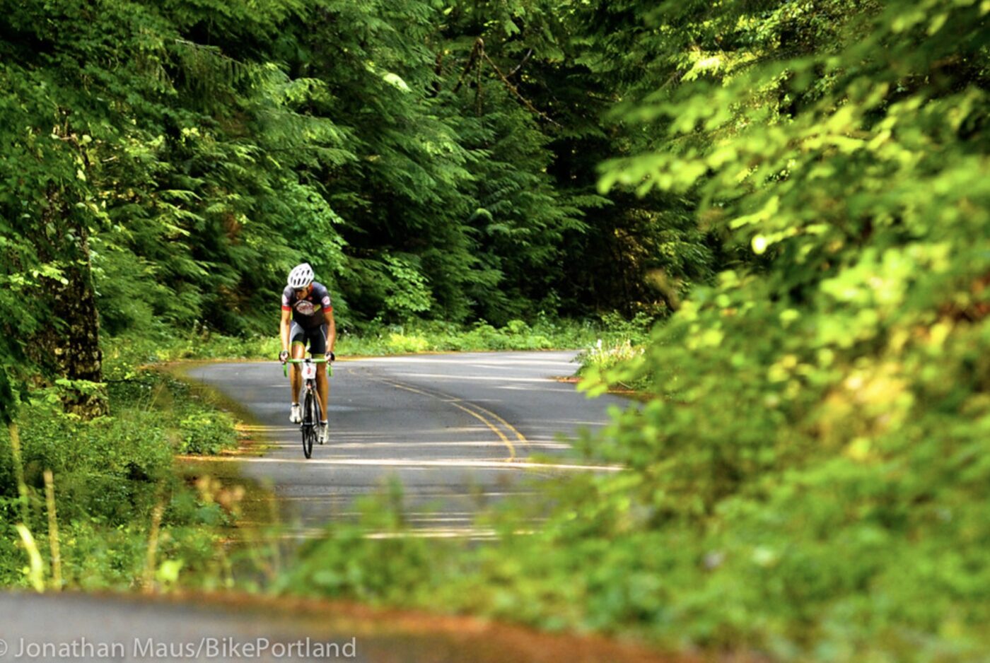
“With minimal traffic and few man-made features, no other route immerses riders in nature quite like the Aufderheide,” wrote Oakridge-Westfir Chamber of Commerce President Michelle Emmons McPharlin in a support letter.
The route received widespread support from throughout Lane County, much of it from chambers of commerce and business groups that understand how cycling can hasten local economic development. Even the Oregon Department of Transportation wrote a glowing letter of support. “We have observed how the scenic bikeway program serves as a significant economic driver, drawing cycle tourist to communities,” wrote ODOT Region 2 Manager Savannah Crawford in a letter to Travel Lane County. “Adding a scenic bikeway in the southeast portion of our region will attract more cycle tourism to Oakridge and Westfir. These communities have face considerable challenges from the decline of the timber industry to extreme weather events. A scenic bikeway could provide much needed economic support.”
Aufderheide Drive has been a magnet for road cycling for many years, and this new designation will only fan the flames of its popularity. In addition to its natural splendor, the route is a perfect out and back with its highest elevation of around 3,700 feet right around the mid-point (see elevation chart below). That means you get a nice ratio of 2,500 feet elevation in about 30 miles of riding regardless of which end you start from.
While Scenic Bikeways include only minimal infrastructure upgrades, they are only selected if they are considered safe and attractive for all levels of riders in their current state. ODOT will add green “Scenic Bikeway” route signage and the designation gives the roads a higher priority for safety improvements like wider shoulders, and rumble strips.
Since it began as a collaboration between the Oregon Department of Transportation, Travel Oregon, and Cycle Oregon, the Scenic Bikeway program has been beset by delays from administrative and staffing changes, wildfires, and the pandemic.
In this case, a statewide committee first received an application to designate Aufderheide Drive in 2013. The plan never made it through all the hurdles in large part due to delays mentioned above. Cycle Oregon came in, dusted off the plan, and made it happen.
Then in 2022, Oregon Parks and Recreation Department (OPRD) contracted management of the program out to Cycle Oregon, a nonprofit with deep roots in rural towns that organizes large group rides all over the state, so they have a vested interest in developing and marketing attractive cycling routes.
Cheers to everyone who didn’t give up on this route and thanks to all the volunteer committee members. Now let’s get more great routes into the catalog. I’m still waiting for an unpaved, gravel route!




Thanks for reading.
BikePortland has served this community with independent community journalism since 2005. We rely on subscriptions from readers like you to survive. Your financial support is vital in keeping this valuable resource alive and well.
Please subscribe today to strengthen and expand our work.
The chainring’s share of credit goes to Travel Lane County’s Connor Nolan for making this happen.
Another great thing I didn’t see mentioned here: it appears you can get to and from BOTH ends of this route via public transit from Eugene. LTD route 91 runs to McKenzie Bridge for the northern terminus, and LTD Diamond Express to Oakridge & Westfir for the southern
I was up there this July doing some mid-week camping at French Pete & day hiking. The road seemed really quiet, and the trails were deserted – we didn’t encounter a soul. Lovely area.
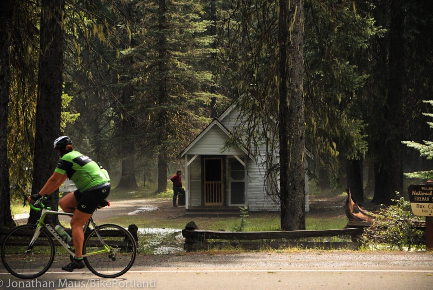
There’s also the Box Canyon Guard Station cabin at the mid-point of the ride, so if you want to do it in 2 leisurely days you could stay there for $70. Caveat emptor: no water.
Thanks for the great article on the Aufderheide! I’ve been working locally (McKenzie River side) to help get this designated as a scenic bikeway for over a decade and can’t tell you how excited that it has finally come to pass. Thanks to Cycle Oregon & Connor Noland of Travel Lane County for helping to get this over the finish line!
Can you please update the article to include that we provide a shuttle service for this ride?
McKenzie River Mountain Resort was taken out by the holiday Farm Fire, yet we continue to provide shuttle services for road bikers, mountain bikers, hikers and runners. (We service the Aufderheide, McKenzie Pass, McKenzie River Trail, O’Leary Trail and other custom requests.)
A shout out would be helpful to us and we try and get our legs back under us and a great service to those riding this ride.