Writing and photography by Abdulrahman Alkhamees. Abe was born and raised in Kuwait, but now lives in in Portland. He’s the founder of The Paperclip.cc, a cycling publication where he shares stories and photos from the saddle. This is his first contribution to BikePortland.
Our Mother the Mountain (OMTM) rides and the community they’ve created are cherished by cyclists throughout our region. They’ve also inspired me to look for new routes and even create my own. When I build routes it feels like I’ve gamified my hobby. Thanks in part to excellent tools like (locally-based!) Ride With GPS, with just a few clicks I have access to detailed maps, previous route attempts, and like-minded riders. Route-building has became an irresistible pursuit and helped me venture far beyond my usual cycling spheres.
To learn more about what goes into making a great route, I tagged along on a recent ride with OMTM founder and master route builder Ron Lewis and observed his methods in real time.
In this post, I’ll use that McMinnville ride as a case study to share what I’ve learned about what it takes to create a great route.



To set the stage, consider this quote from Lewis:
“Great routes rarely come together in one shot. It usually takes a decent amount of trial, error and repeat visits to work out the kinks and establish a satisfying flow. The first visit somewhere is usually just the prelude to more research, exploration, more trial and sometimes more error.”
Following this philosophy, Ron sketched new lines on the map — weaving through familiar territories and uncharted sections of the coastal range. The grand motive behind the ride was to figure out the best lines and flow for an upcoming ride later in the year.
This brings up a great point I learned as I built more routes: Whether driven by curiosity or the allure of historical sites, natural marvels, or a hidden culinary gem, a motive infuses the journey with meaning.
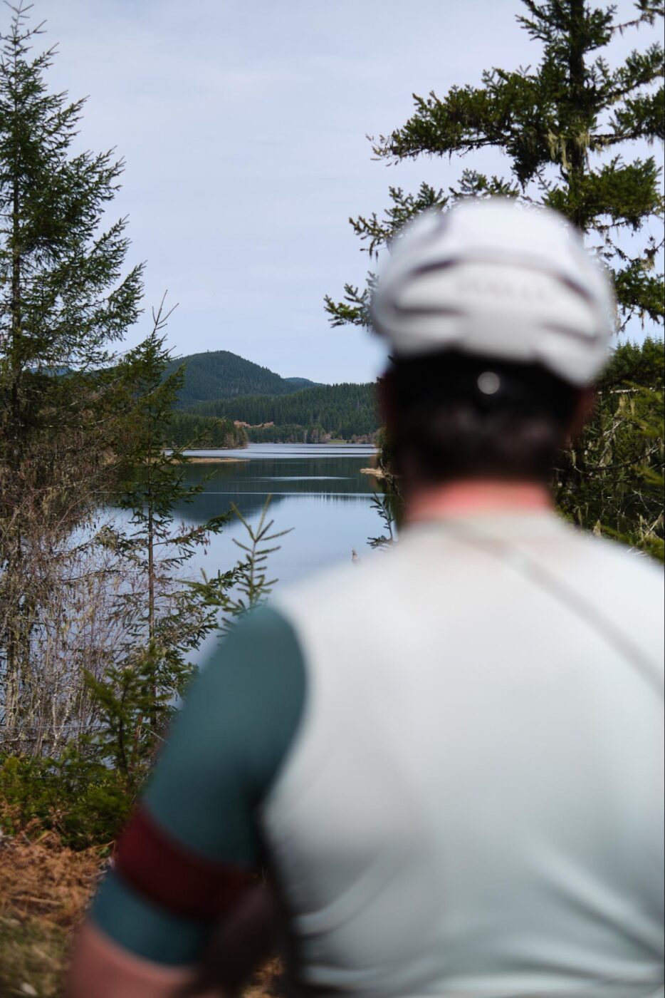
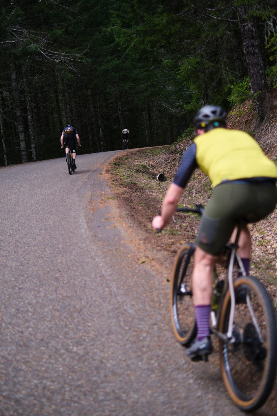

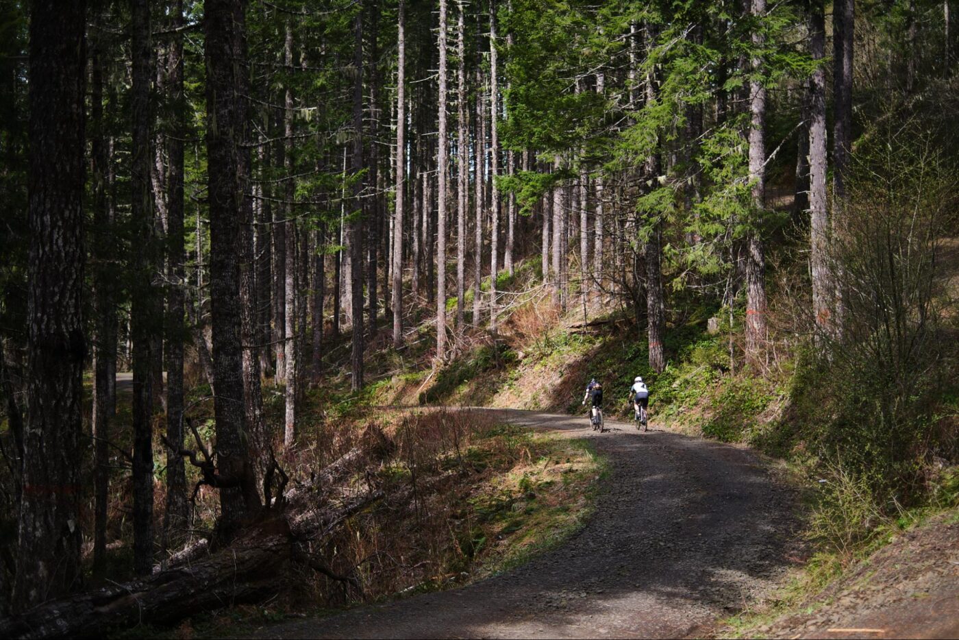

With the motive in check, you need a good group of venture buddies willing to ride and discover along with you. The best buddies are folks who are ready for anything and as curious as you are. Bonus points if your venture buddies are local to the areas you’re heading into, as they might have key intel on recent conditions and can help navigate when Mother Nature throws a curve. Locals not only know the best lines, they also know where to find the best post-ride snacks — another essential element of any great ride.
With the route, motive, companions, and culinary rewards in place, all that remains is the ride itself.
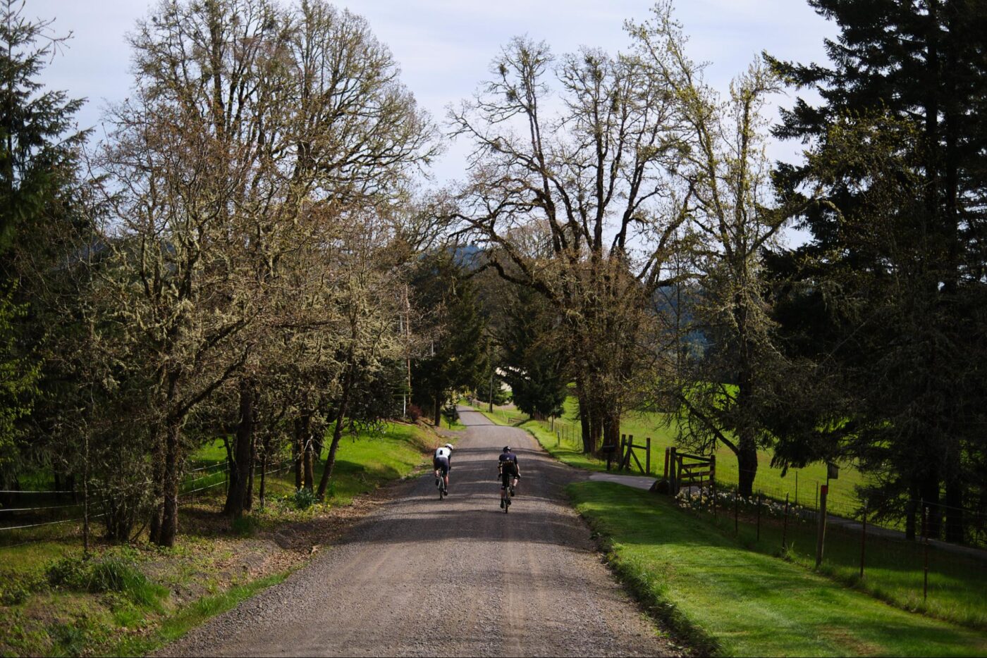
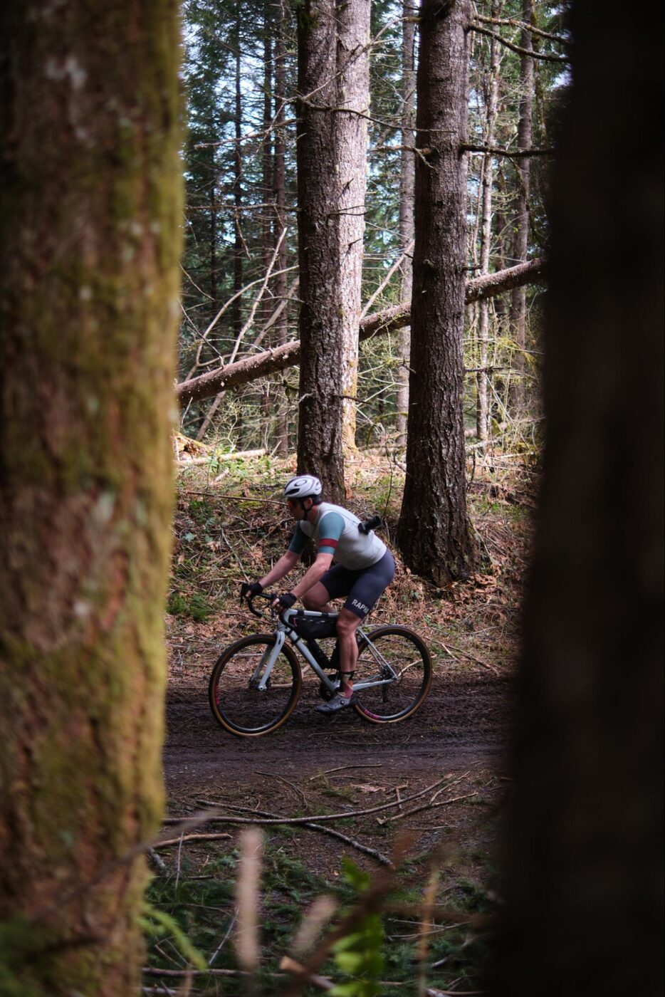
Kitted up, caffeinated, and in the saddle, we followed the lines on our GPS-enabled head units. When riding in McMinnville, the transition from urban to rural to national forest happens quickly. That’s one reason we love riding out there.
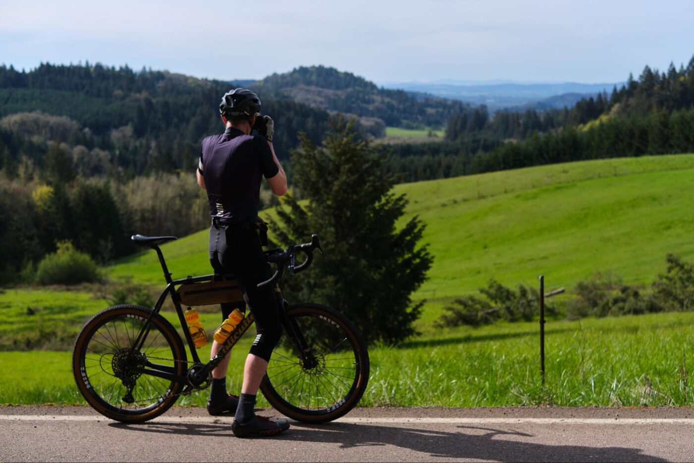
The first section of the route took us up a familiar climb past farmlands and steep hills above the Willamette Valley, eventually opening up to showcase the overlapping hills across the horizon. This brings me to the next point: Things like vistas, viewpoints, and peaks are essential to have on a route as they give you a holistic feel and connection with the area. They also help break the route into manageable chunks — going from an old farmhouse to a viewpoint, to a steep descent, and so on.
In other words, topography sets a flow and rhythm.
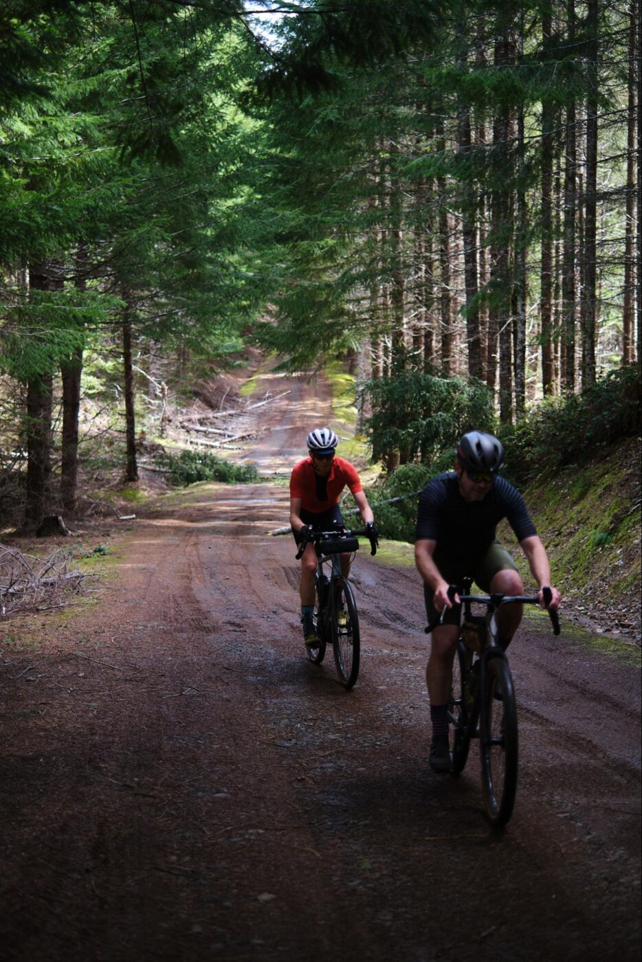
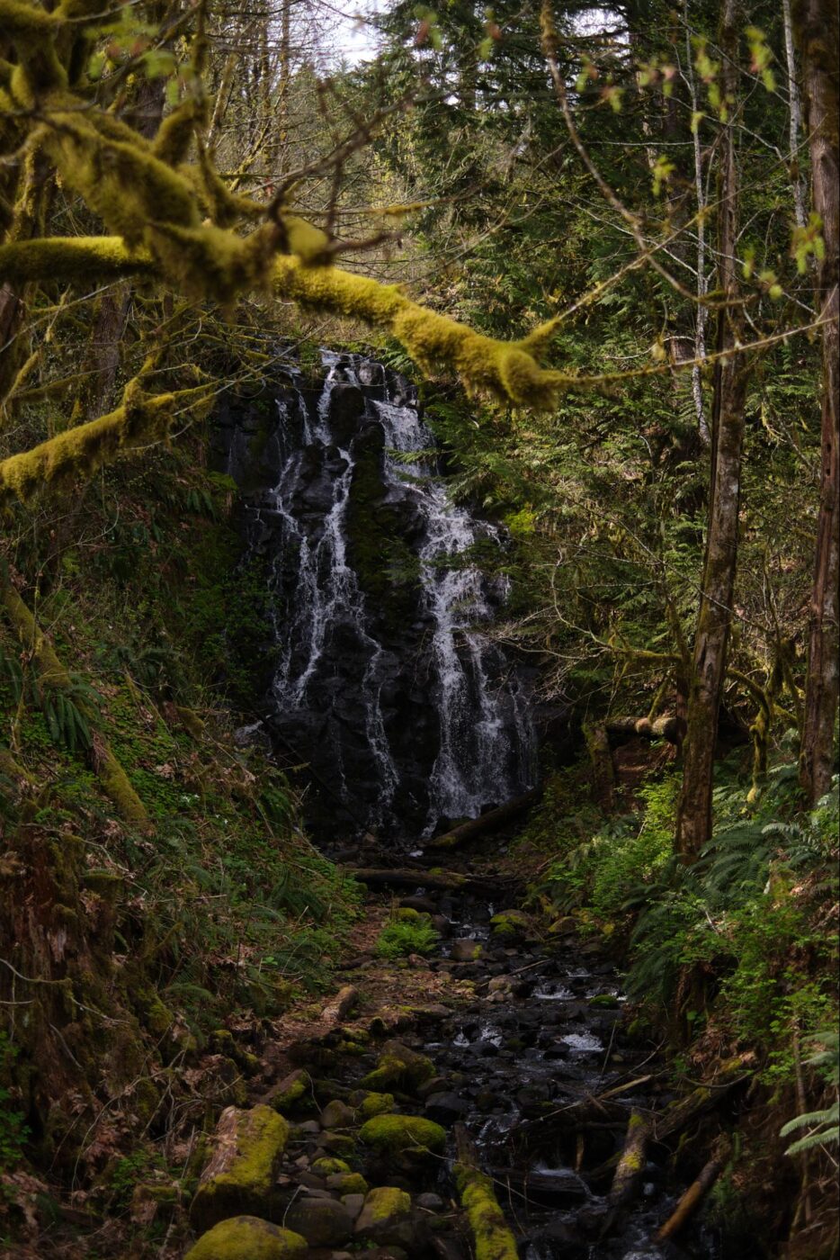
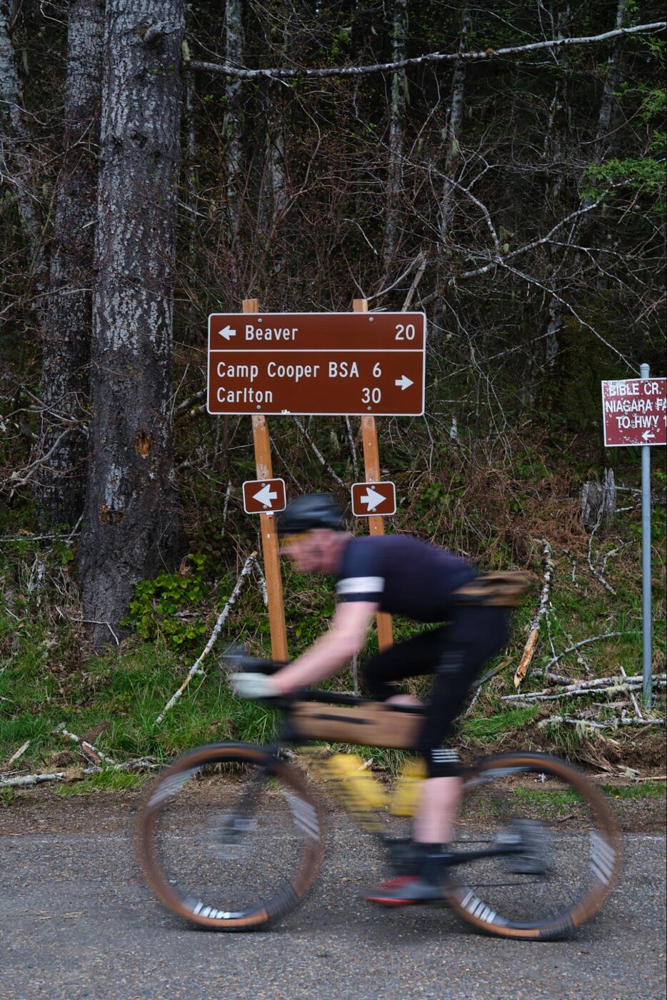
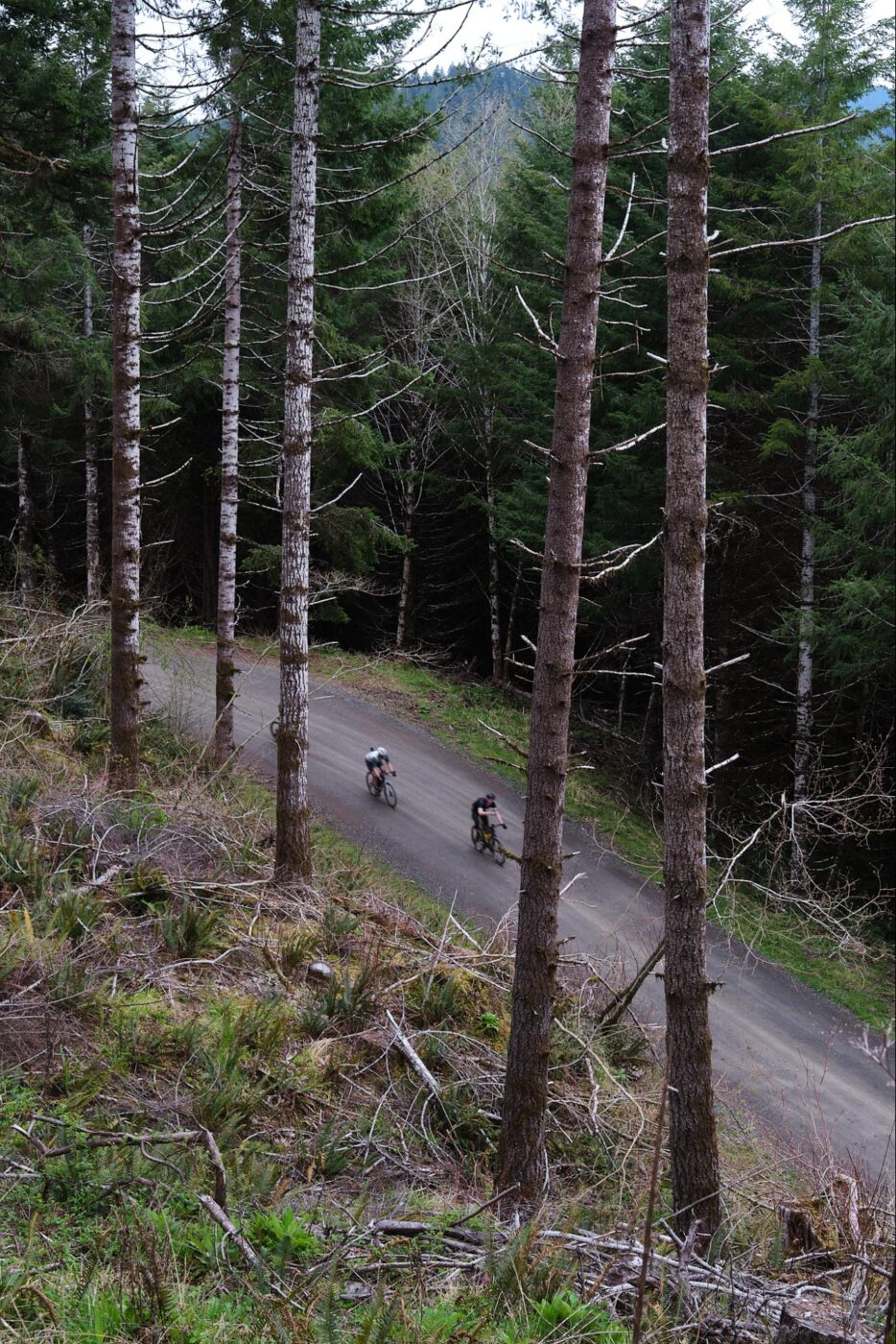
We were back on gravel roads past the pavement and a few twisty descents. We made our way up yet another steep climb towards McGuire Reservoir, right on the other side of where we would end up later in the day. We climbed up Bald Mountain Road towards the day’s first summit just shy of Sheridan Peak.
What followed the climbing was a 19-mile descent (with a few uphills) taking advantage of main roads, B roads, and everything in between.
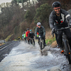
After descending through winding turns and the occasional pothole bounce, we reached the popular and well-traveled Nestucca River Rd (we were drawn by the news of a landslide blocking the road, which meant carfree riding for a bit). This brings up yet another point to consider when building a route: use well-known and well-ridden sections of roads as dependable byways back to the car after a long day, or even as bailout options.


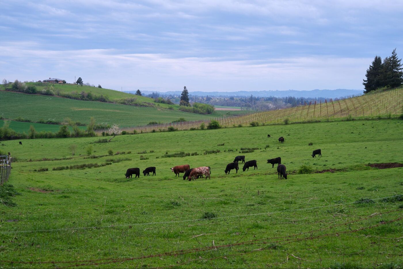
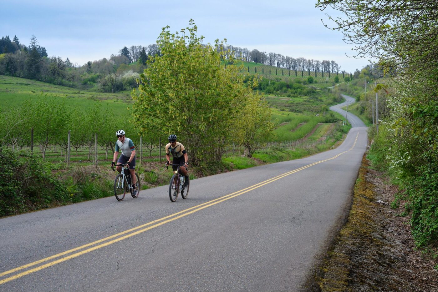
Nestucca River Rd is a gradual climb that cuts through the coastal range back towards the Carlton/McMinnville area. Front-loading the route, especially if you plan on climbing most of the day, helps prepare for the route in terms of fuel and energy, as well as the kind of day you want to have. I tend to enjoy front-loading the climbs and finishing the ride with a descent back to where I started. We had that option in McMinnville with the abundance of paved and gravel roads all around.
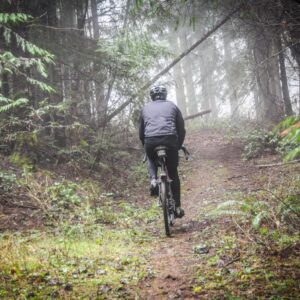
Reaching McGuire Reservoir signaled the “smell the barn” part of the ride. What’s left was a well-earned 19-mile descent back into town. As you fly downhill — weaving under tree canopies as the forest compresses and expands — it’s a feeling nothing can match!
After a long day of grinding up inclines, bunny-hopping ruts on B roads, and tucking in on descents, we finished up the ride at a local pizza joint, still buzzing from all the stoke.
Sure, it’s enough to just enjoy the ride. But before a great ride can ridden it must be conceived and created.
— Abe Alkhamees. See more of his work on his website or via Instagram at @thepaperclip.cc. Explore the McMinnville ride featured in this article here.


Thanks for reading.
BikePortland has served this community with independent community journalism since 2005. We rely on subscriptions from readers like you to survive. Your financial support is vital in keeping this valuable resource alive and well.
Please subscribe today to strengthen and expand our work.
I’ve used Ride with GPS for a little while now. Not quite sure I can trust the mileage/elevation. Am I the only one who gets different mileage and elevation gain numbers when I ride the same short (20 mile) loop on different days?
It’s an imperfect system. GPS is only as accurate as the unit’s satellite locks and elevation changes are typically measured barometric variation, which changes day to day depending on the weather. If you travel under tree cover frequently it can affect the mileage count, too.
What an inspired post, I loved it!
Excellent write-up. I really enjoyed reading this as I plan a 50 mile trail ride in Bend for my 50th birthday.
Ah, it brings memories of my ride to the McMinnville/Amity area
https://youtu.be/VjFWn9g0I08?si=oKp0liAOMXk3B-Gk
Link to the ride gps?
Yeah I’ll get it from Abe ASAP and share it here. Sorry for not having it in the story to begin with.
What kind of copyright free Mickey Mouse operation are you running, not having the RWGPS link already?
Jk. Welcome back.
Haha. Not back yet. Just cracking the laptop a bit here at the hospital. Still in Medford taking care of my dad. Day 9!!!
here’s the route GPS link https://ridewithgps.com/routes/45569086
The world is so funny sometimes. I recently learned of thepaperclip.cc in an insta tag during the Le Ronde, and then days later a guest post on BP. I for one love this sort of content, I appreciate BP and the commuting, safety, and social ride aspects for sure, but love learning and hearing about the epic routes and rides all not very far from those commuting woes. Great article – but please… include the RWGPS link for this route so we can follow along!
Great article and stunning photos! I can always count on an adventure when I undertake an OMTM route, but never identified that a big part is that rhythm you identified in bringing in peaks, summits or other punctuation into the route. Thanks for putting this together.
As someone who regularly takes Sunday drives up in the area, I see A LOT of bikers riding in the middle of the road or even in the oncoming lane. Please please please for y’alls safety and those of us driving, please stick to the inside of your corners. There is little to no error room up there. And many roads aren’t even 2 lane..
I don’t doubt that people biking can be rude or unsafe, but if many roads aren’t even two lanes, wouldn’t riding in the middle or even the oncoming lane be normal and expected, just as it would be with cars?
It looks like normal road use in the photos above, especially if you’re seeing it on Sundays, which are probably the peak group ride days.
I ride out here a lot and love this area. Even before the slide on the Nestucca River Road, there are few cars on the paved parts except for summer weekends. Not on the map is a great restaurant at mile 48, The Outpost.