(Photos: Madi Carlson)
“It was by far the hardest thing either of us have ever done, but we’d both do it again…though only after some rest and time to forget some of the details.”
While the kids are away the moms will play.
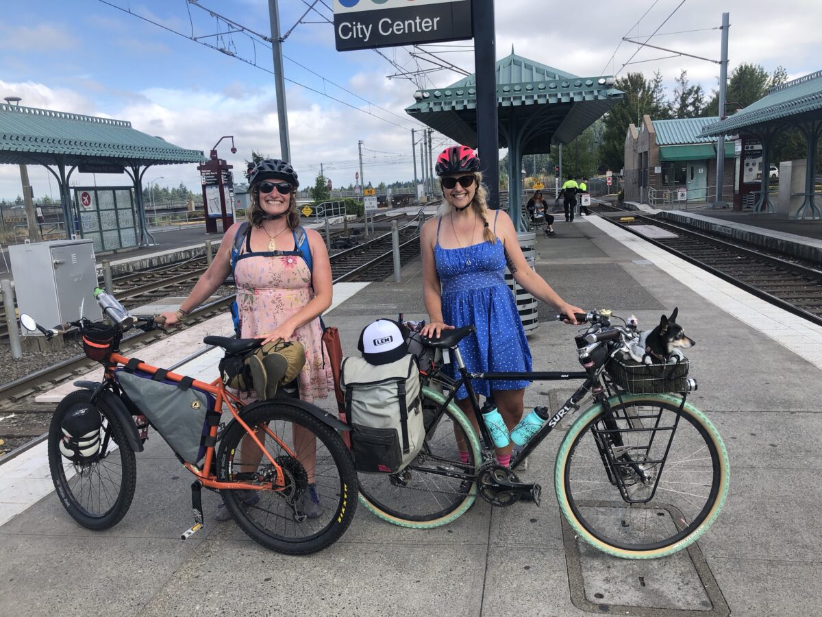
For me that means riding my bike much farther while carrying a bit less stuff than when I have the kiddos in tow. And ideally with a mom friend at my side. My friend Elle of Tiny Helmets Big Bikes came up from Sacramento, tasking me to find us a multi-day bike trip. I decided we’d take Trask River Road to Tillamook on the Oregon Coast.
Here’s the scoop on the route via Oregon Bikepacking:
While not technically easy, this the most straightforward, easiest dirt route to the coast from Portland. Starting from the end of the MAX line in Hillsboro, we route you through the least pavement possible to Mount Richmond and then on gravel up to the Barney Reservoir and along the North Fork of the Trask River directly into Tillamook.
Expect clear cuts, steep and loose gravel climbing, logging trucks, and plenty of pickups to keep you on your toes. And despite all that, it’s still a little gem of a route and one of our all-time favorites.
The route starts from the end of the MAX Blue Line in Hillsboro:
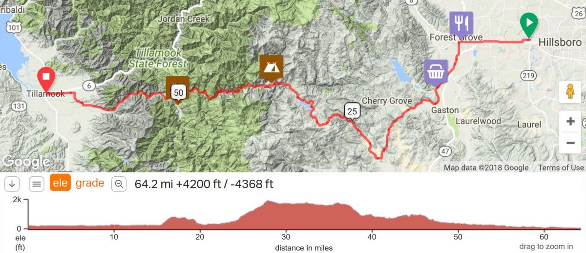
My Strava recording of our first day of the ride showed 49 miles with 5:47 moving time and 8:48 elapsed time. Some of my forward progress was so painfully slow it might not have registered in the moving time.
It was by far the hardest thing either of us have ever done, but we’d both do it again…though only after some rest and time to forget some of the details. The main thing to know about the Trask route is that you should only ride it on weekends so you can avoid the weekday logging trucks. Not only did we avoid big trucks, we saw only a handful of cars, and only a few drove too fast, and none passed dangerously close to us.
I checked in with a friend who had done this route before and he asked after our tire sizes — my bike has 43 mm wide tires and Elle’s has 2.4-inch wide tires — which he deemed good. We both had our tires at the maximum tire pressure which is good for not getting pinch flats (flat tires caused by having too little air in the tubes and hitting a bump, curb, pothole, etc), but it’s not so grippy on gravel. I let out some air about halfway along the gravel and things got a little easier, but ideally I would have let even more out, though that would have led to lots of worry over flatting out along the way. Elle kept her tires full-up, but mentioned, “I should have let some air out, but it’s not worth it now” several times.
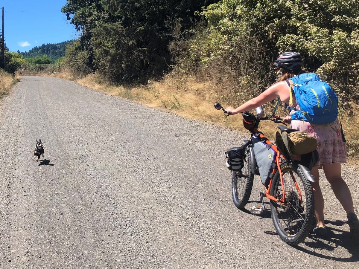
Regardless, we had to walk a lot. Elle wore tennis shoes and I wore clipless bike shoes and we both did OK with the walking. I carried the tent and kitchen stuff (though we argued over who would carry more stuff because that’s what biking moms do when they travel together) so I had a bit more weight not packed as centrally on the bike and I had trouble shoving my rig uphill. I recently added a front rack on my bike and I wish I’d worn all four panniers to spread out my cargo weight better. That probably would have made the pedaling up the gravel roads harder, but it would have made the shoving on foot much easier.
The route has some forks along the way and we took a few wrong turns that I caught right away, thanks to having my phone mounted on my handlebars and following our blue location dot on my saved Ride with GPS route. Since I knew cell coverage would be spotty, I downloaded the route and maps so I could easily follow along. I can see how people following paper maps or printed cue sheets might miss turns.
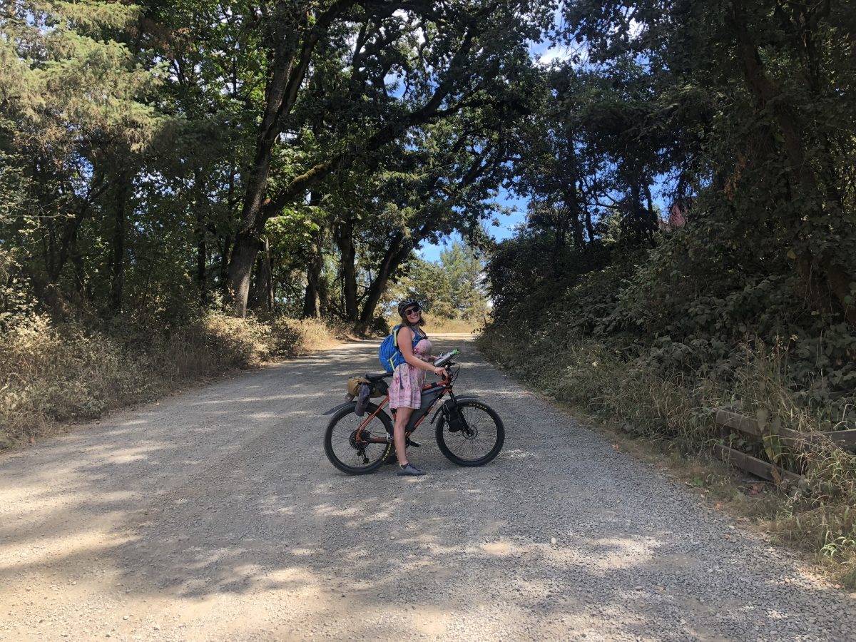
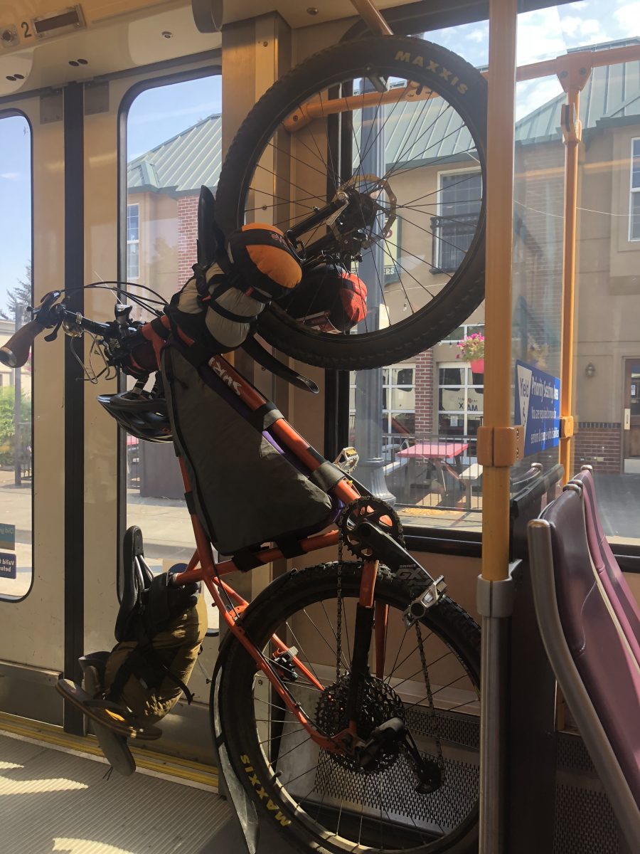
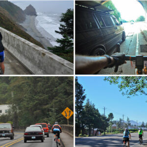
We didn’t want to start too early in the morning so Elle came to my house at 8:00 am. We pared down duplicate gear and hit the road for the six-mile ride to the Gateway MAX station. We didn’t start the ride itself until 11:30 am — which is kind of late to start a big long ride without the amount of preparation we’d normally do (something to keep in mind for next time). The first 15 miles were a fun, flat, paved tour of Washington County cities: Hillsboro, Cornelius, and Forest Grove. I don’t spend a lot of time out that way so I found it fun, though we were on arterials the whole way so it wasn’t a route I’d do with my kids (no matter the trip, I always think about whether or not I’d ride it with kids).
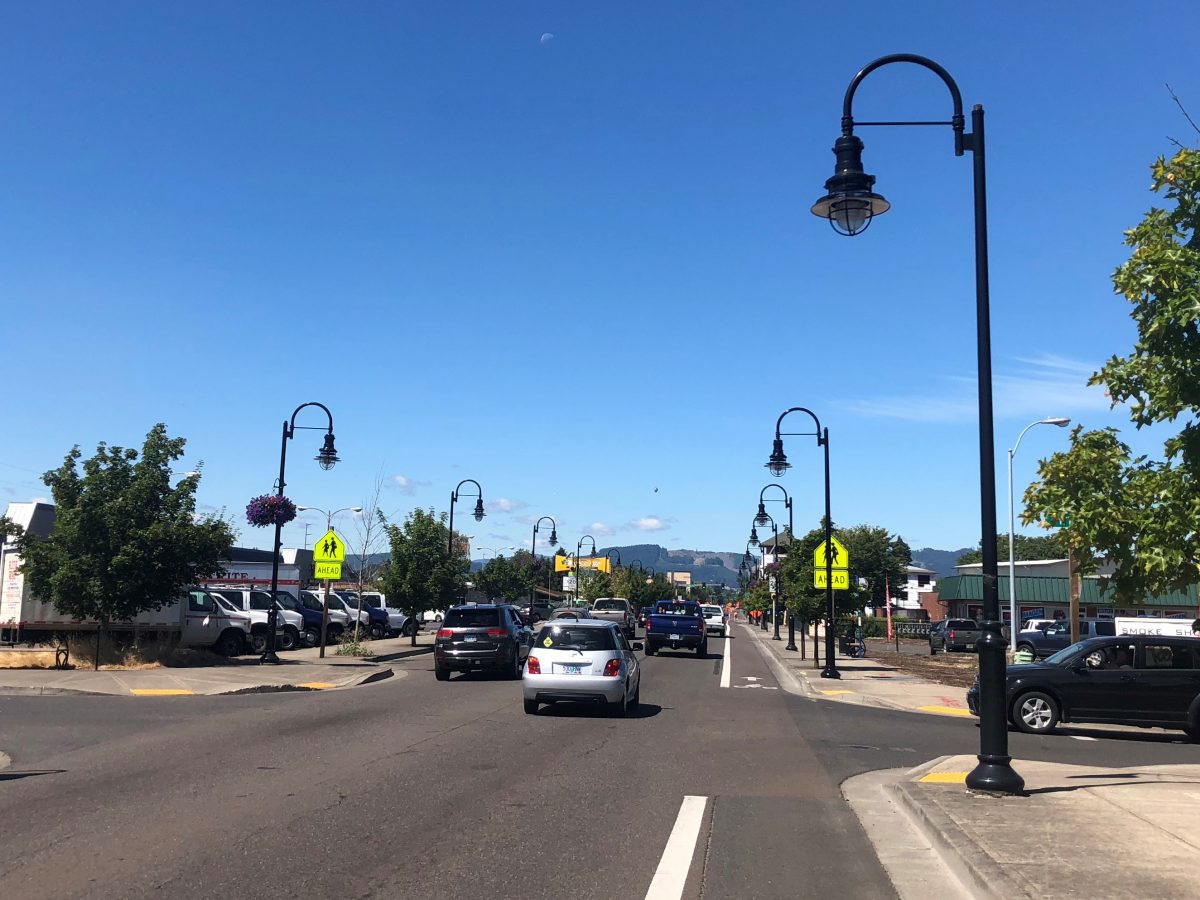
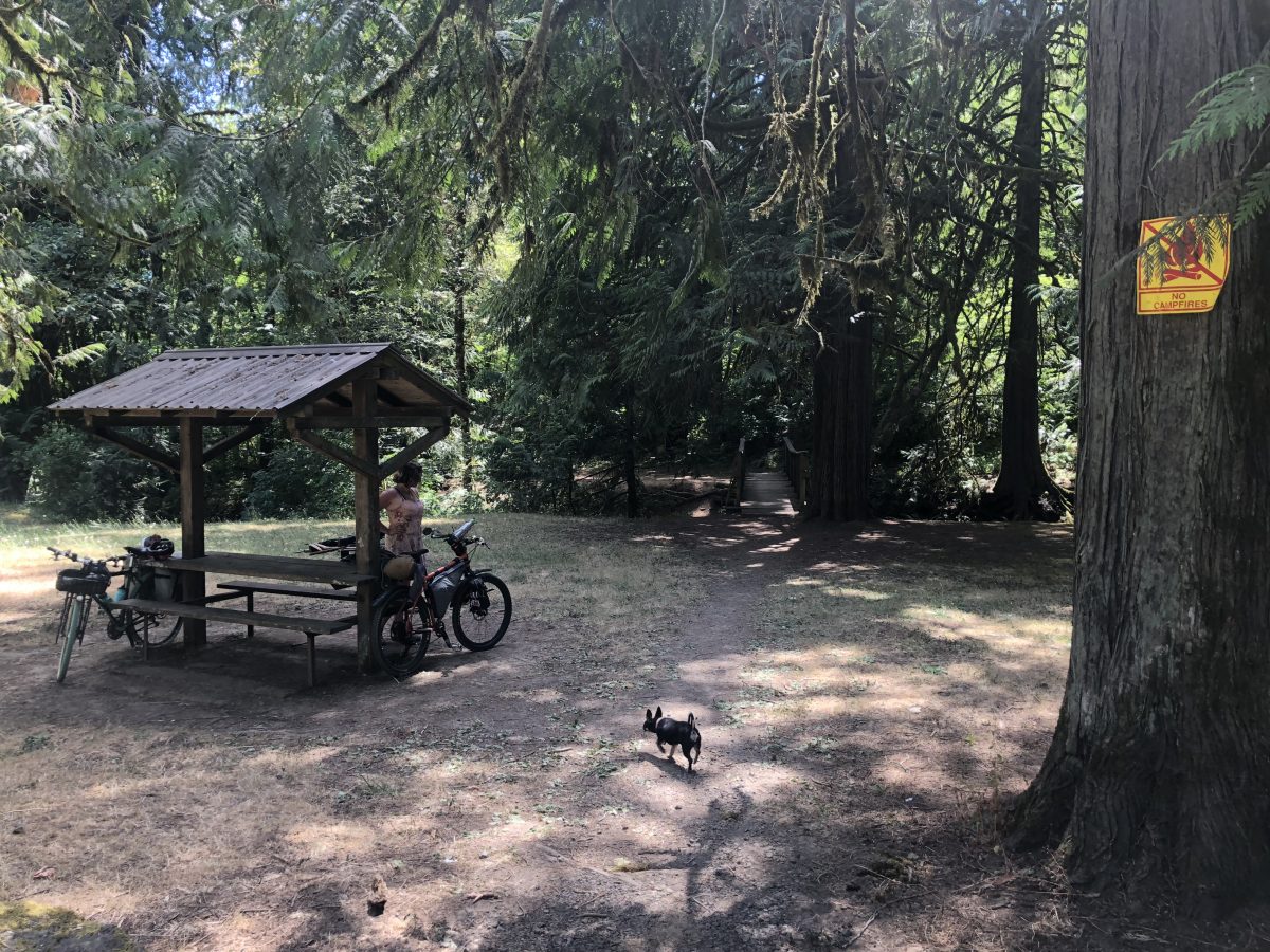
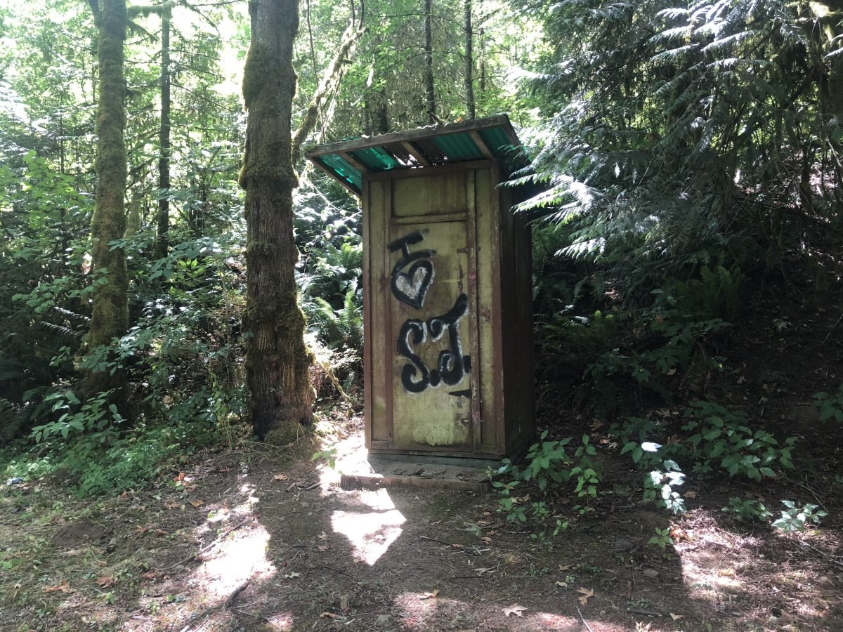
Soon enough we left Washington County for Yamhill County and hit hills and gravel. Early into the “fun” part we met a couple from Portland who were riding 50 miles out to a reserved camping spot and then riding back home (also via Trask Road) the following day. They were much fitter and faster than us, though we caught up to them at a mutual lunch stop at mile 23, in a cute park with a pit toilet, but no water. Speaking of water, there are streams to filter water from, but no running water once you’re out of the cities. Elle filtered water at our lunch stop and I should have done the same because my three water bottles ran out before we were done riding. Four water bottles might be sufficient if you’re faster than us and don’t need to share your water with a nine-pound dog.
“Now that I know what to expect, I’ll book a campsite at Trask River County Campground, carry four panniers, hit the road much earlier, and promise myself to stop and filter water along the way.”
Having little idea what to expect of ourselves and the route (it’s all just big numbers to me, though Elle was able to say things like “1500-foot elevation gain over three miles” as if it made sense to her), we figured we’d probably need to stop and camp on the way to the coast. We saw several people car camping along the Trask River, including what looked like a Jeep meet-up at what we took to be the “special little spot” mentioned on Oregon Bikepacking at mile 37. The Jeep partiers loudly cheered us on and their Corgi charged at us in an incredibly cute and ineffective attack. Needless to say we didn’t stop and camp there, though I’m sure they would have been fine with sharing the spot. Speaking of sharing camping spots, the couple we met on the road said we could share their reserved spot at Trask River County Park; but we were keen to reach potable water and restrooms, so we pushed on.
We were running on fumes the last 10 miles, but we made it to the end. And with still a bit of light left in the sky!
Advertisement
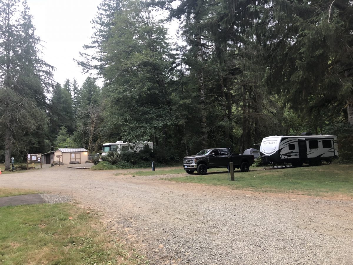
We didn’t explore the entire Trask River County Campground (PDF), but the sites we could see were close together and we could hear a lot of noise from farther back in the park. Summer prices are higher than what’s listed online (photo below) and when the camp host stopped by in the morning she said hiker/bikers should book brown sites (we shared our friends’ blue site), It’s all quite pricey with no special area or consideration for people arriving on foot or bike. But hey, the water did not have the “very strong, unpleasant sulfur taste” mentioned on Oregon Bikepacking.

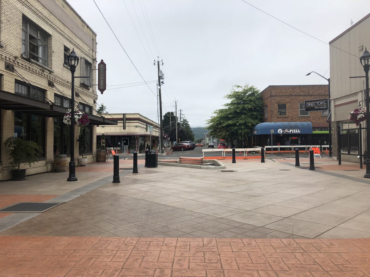
Things are paved after Trask River County Campground so day two was 25 easier miles through Tillamook and to Cape Lookout State Park on the coast (my Strava recording of day two). We had toyed with the idea of taking a rest day on the coast, but as we’re both used to bike camping with kids, we knew we’d just get bored without our usual distractions and had already been able to hold all our deep conversations while pedaling. So we declared this our “rest day” since we’d have tons of beach time. We stopped for lunch in Tillamook, a city I’ve never had the pleasure of visiting before. We found a cafe next to a new plaza with outside (dog-friendly) tables. The owner mentioned bringing “a treat for your little dog” and needless to say it was cheese! (Tillamook is famous for its cheese factory.)
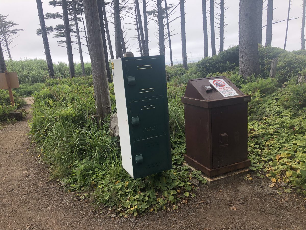
The rolling hills between Tillamook and the coast were tiring after our big previous day, but they barely registered as bumps in road the following day on the way back. Everyone else was probably dismayed to be socked in with fog, but we were quite happy about it. After waiting in line with people in cars we made our way to a large hiker/biker area with many different private sites. It felt quite luxurious. There was one water spigot for the whole area and lockers for food — Elle dubbed them “raccoon cabinets” since they weren’t sturdy enough to be considered bear boxes. Taller people than I will notice the assortment of cutlery atop the raccoon cabinets in case you’ve forgotten your fork. Bathrooms with flush toilets and sinks were a bit of a walk in either direction so that’s really the only thing missing, but it’s so worth it to camp with no cars parked anywhere near!
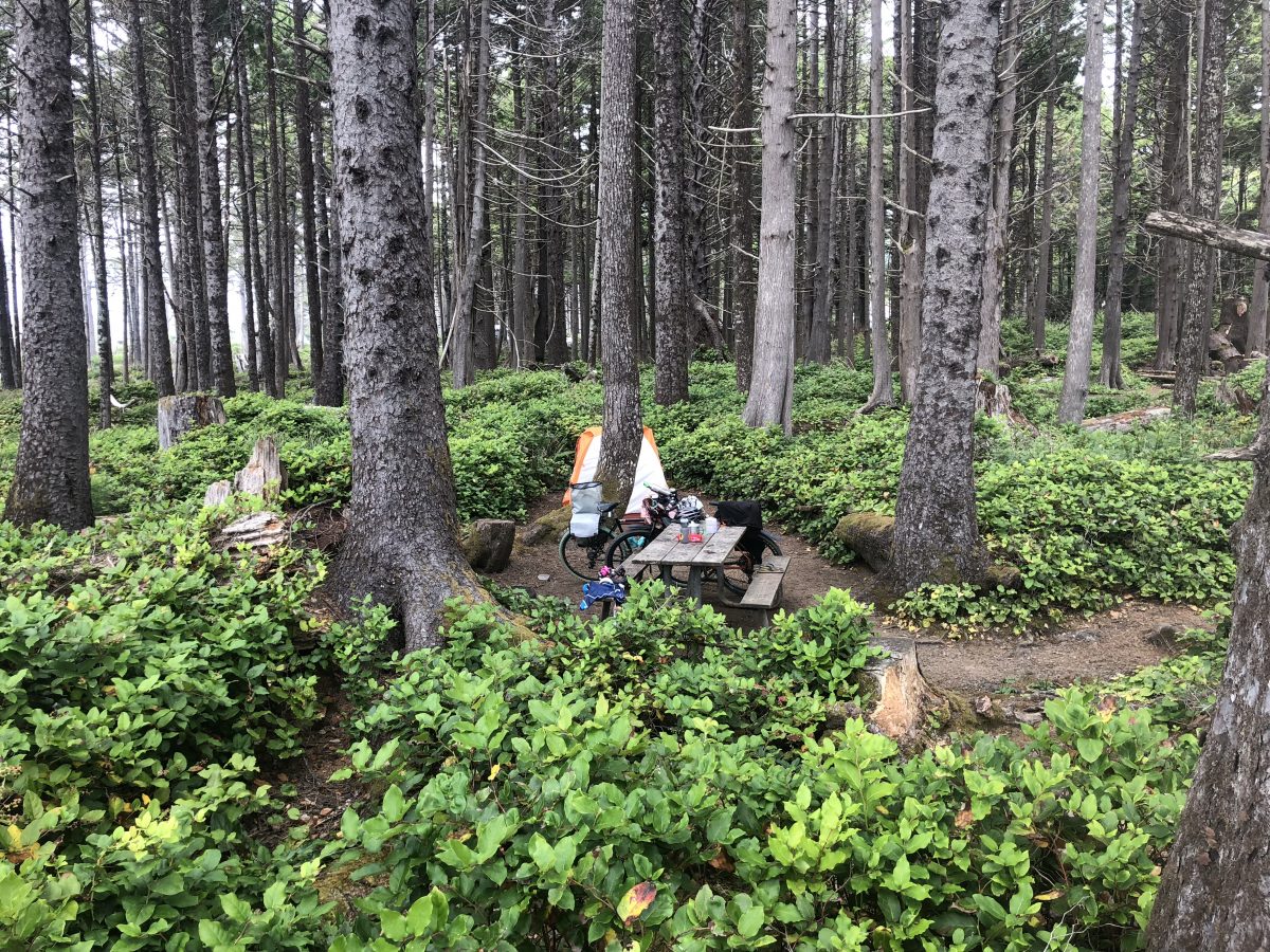
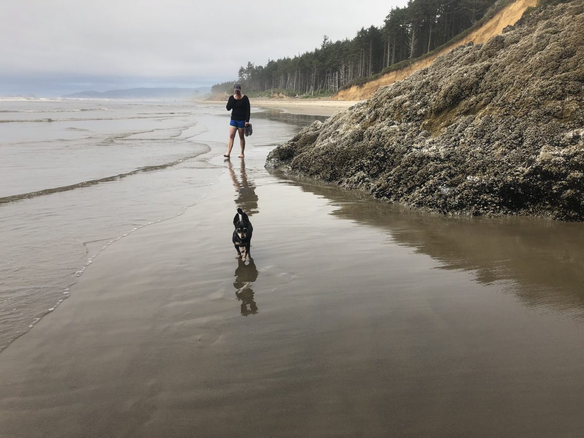
We had tons of time to meet our neighboring bike campers and walk all along the beach. We explored one of the car camping loops while visiting the bathrooms and discovered quite a different vibe with hot asphalt all around and people in cars circling in search of their sites.
We had brought swimsuits, but only got our feet wet (though there were braver park visitors all the way in the cold water). I found some decent swimming spots to add to my next grab the kids, load up your bike, and cool off at a local watering hole post. I really miss the ocean and was happy to sit with Elle watching the tide roll in after dinner.
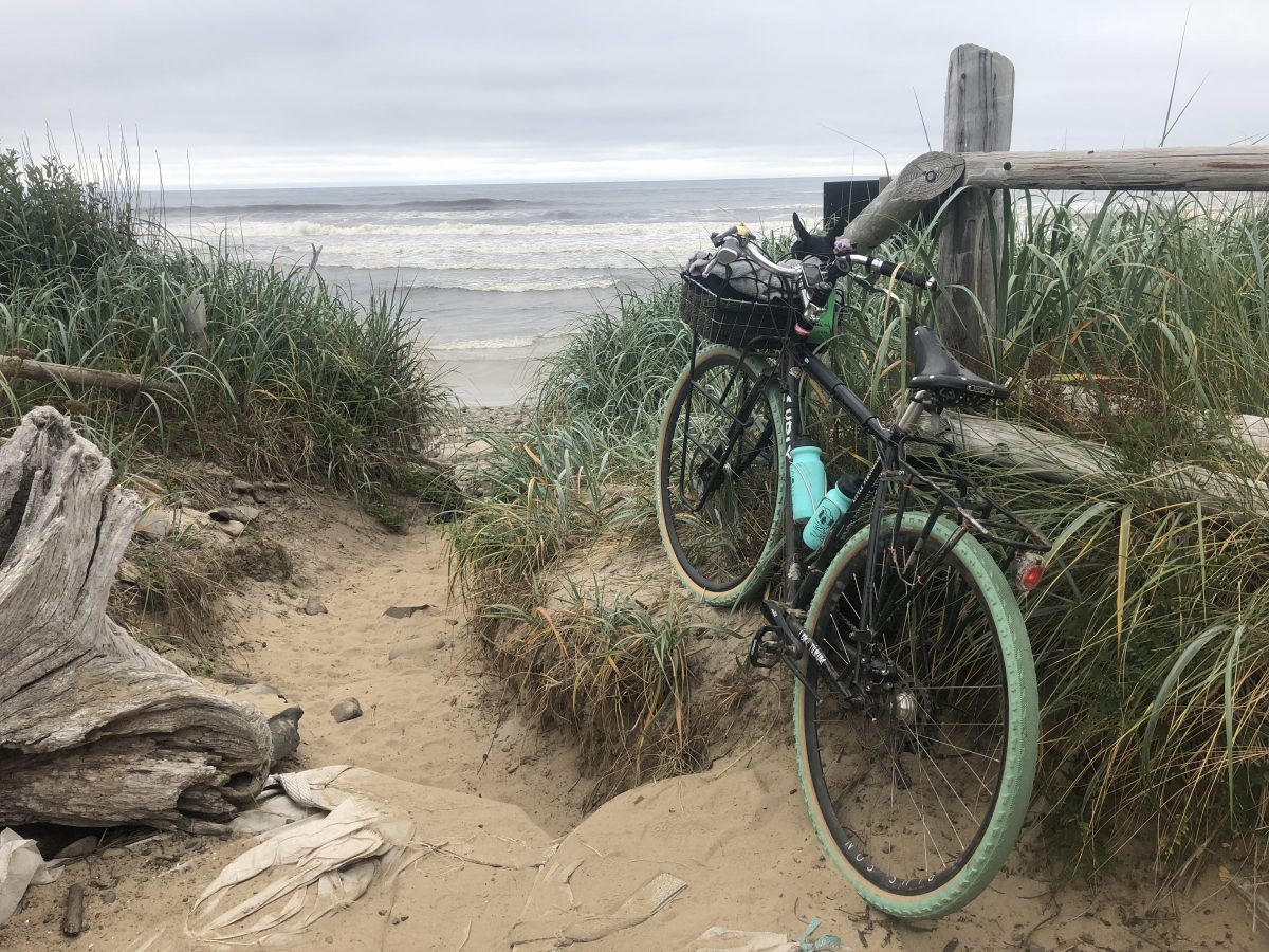
Since day three was a weekday (Monday), we didn’t want to take the unpaved Trask Road back home and dodge oodles of logging trucks. Honestly, I wouldn’t have wanted to take it back home regardless, but I’m game to ride it again in the future, perhaps even out and back if I can start earlier and carry less stuff. For our ride home I simply followed Google Maps’ suggested straightforward route on Highway 6. (Here’s my Strava and here’s my saved Ride with GPS “Coast to Hillsboro” route.) We were able to cover the 70 miles to the first MAX station in Hillsboro. There are campgrounds along the route to break it into two days, but we were eager to get back — me to escape the mosquitoes, and Elle probably to escape listening to me complain about mosquitoes.
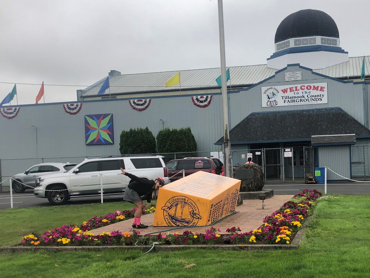
We stopped twice along the way, first in Tillamook at Safeway for a sandwich and sports drinks for later, and then at mile 33 at the Smith Homestead Day Use Area, not even halfway up the hill. We sat at one of many picnic tables while families drove in and parked to take small hikes. The site features pit toilets and drinking fountains. It was nice not to have to use the water filter at all for the way home. I was too lazy to deal with it on the way out, even if it meant running out of water.
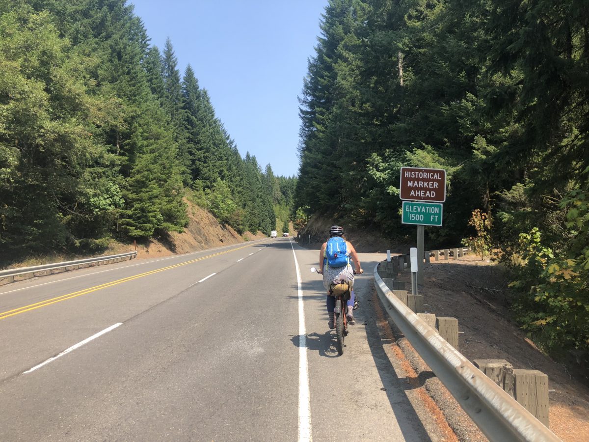
Riding highway 6 was comparatively so much easier than the road along the Trask River. It was still a big ride and we stopped briefly on the side of the road here and there to rest, but it was all rideable, no walking up hills required. Traffic was light on Monday, but I’d imagine it’s quite a bit busier on Fridays and weekends and possibly unpleasant to bike on as a result.
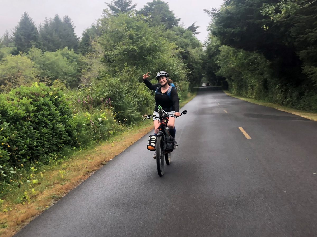
I’m a creature of habit so I think my next trip to the coast will be exactly the same. But now that I know what to expect, I’ll book a campsite at Trask River County Campground, carry four panniers, hit the road much earlier, and promise myself to stop and filter water along the way.
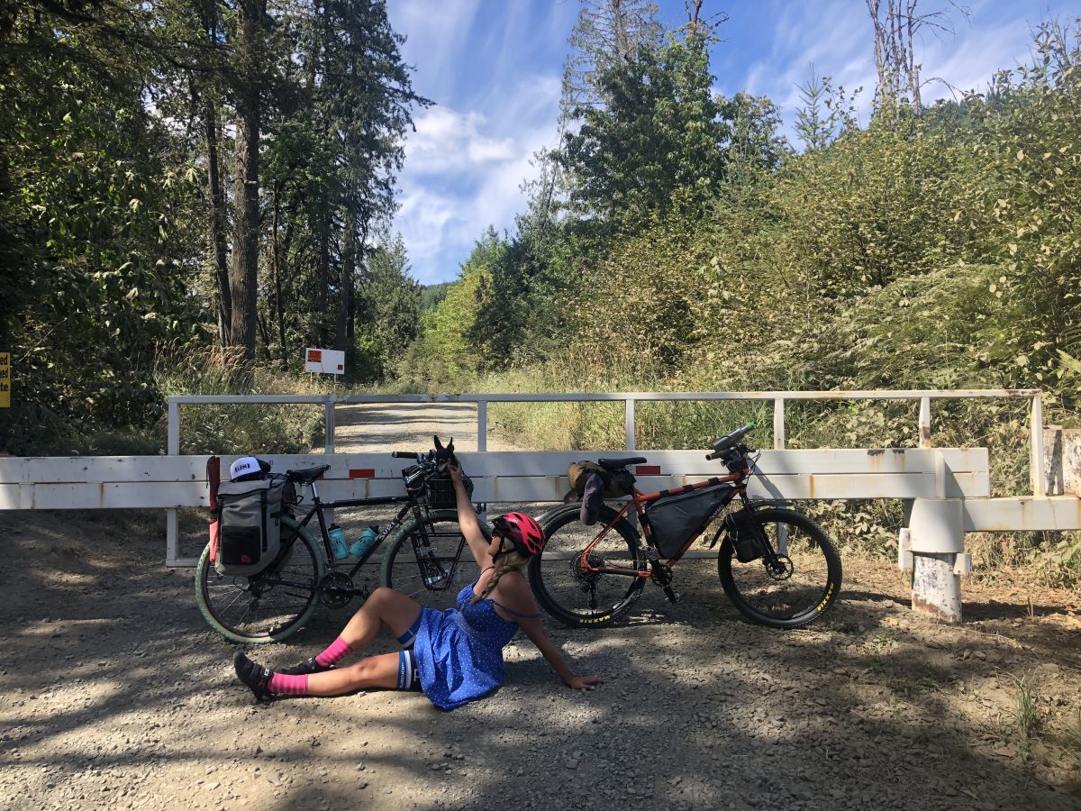
If you’re interested in riding the Trask route with a group, the Dirt Surfers Bicycle Club has an event called Dirt Surfing to the Coast that leaves in a week (August 18th-20th). I expect this group will travel much faster than we did and their return trip is also rugged and hilly in keeping with their club name. If you’d rather have a fully-supported gravel experience on quiet backroads, consider Cycle Oregon’s Gravel event based in the Tillamook State Forest October 5-7th.
Thanks for reading! We’d love to hear about your rides to the coast — especially if you’ve done the Trask route. Feel free ask questions in the comments below or email me your story ideas and insights at madidotcom [at] gmail [dot] com.
— Madi Carlson, @familyride on Instagram and Twitter
Browse past Family Biking posts here.
Never miss a story. Sign-up for the daily BP Headlines email.
BikePortland needs your support.


Thanks for reading.
BikePortland has served this community with independent community journalism since 2005. We rely on subscriptions from readers like you to survive. Your financial support is vital in keeping this valuable resource alive and well.
Please subscribe today to strengthen and expand our work.
This looks so awesome! I’ve wanted to do something like this for a long time. So jealous
Two exuberant thumbs up!
Simply glorious. Thanks for the wonderfully inspiring write-up. Hmm, I’m back on grandpa duty in a couple weeks. Maybe grandma and I had better get another tandem ride to the coast in before we’re booked up. We’re still a couple years away from “the girls” being ready for such a ride. (From our location, we have a mostly-pleasant very low traffic 85 mile ride to a state campground on the coast. Does it get any better than that?)
Nice work! There are lots of new options for water filters that don’t require work. Gravity filters, grayl, etc. Also look into the nestucca river road from yamhill, it’s a great quuiet route with little traffic but only three miles of (road bike worthy) gravel.
It’s worth mentioning that there is extensive road construction occurring between Mile 12 and 15 up through October. I haven’t confirmed it myself, but from a phone call with BLM, entire road sections will be excavated and bikes won’t be able to pass. There is a detour on Bald Mountain Rd and Bible Creek Rd which involves a lot more climbing and limited camping options.
Ladies, thanks for sharing…and its always nice to learn about a “new” alternative route. [Perhaps some industrious rider can add some “bike 2 coast” / “b2c” finger signs along the forks mentioned.]
Sweet trip! Another upvote for the Nestucca River Road route.
Thanks for the great write-up! I enjoyed reading about the adventure and seeing your pictures.
Great adventure and trip report!
So inspiring! Thank you for sharing.
Great write up! I did this loop a few years back and it was really enjoyable. The “closed” Cape Meares section was a nice break from cars with a very brief washout but the views from the road weren’t as good as I had hoped. The state park viewpoint was quite lovely but also very crowded. https://ridewithgps.com/routes/10216671
Having just attempted Nestucca River Road and being routed onto the detour I can attest that yes, it’s closed and yes the detour adds significant mileage and climbingbtonwhats already a stiff ride. On another note, I MUCH prefer the Little Nestucca River Road (different from “regular” Nestucca River Road over Highway 6. Head south from Cape Lookout (yes UP and over the cape) follow the scenic drive past Pacific City and just south of where you join 101 it heads east to Grand Ronde. It’s the route Reach The Beach uses.
Hi Michael, thanks for this information. How is the road surface for the detour? Is it road bike compatible? And do you have an estimate of how much distance is added by the detour? I was planning to ride it with a few friends as a day trip, if we’re looking at 80+ miles, we would probably move the start point…or maybe the end point.
Yes way better! There is that long slog uphill with the three one lane bridges, great fun going down and out to the coast but getting back it’s best to leave early since it’s somewhat of a short cut from 101 to grande Ronde for trucks heading to Salem.
Did you forward this article to Joe Karmasky & Kristi Falkowski/ Piccio??
Except for this Wednesday from 11:00 to 1:00pm, The A.O.R.T.A. Rail Club meets Wednesdays
on the 2nd floor of PDX Union Station. Amtrak Passenger Rail is presently cutting staff positions at several stops on Montana & South Central lines.
When I was 29 July 1976, I soloed the bike centennial from Salem to Missoula. Read Joe Kurmasky’s comments about the Painted Hills near Mitchell, OR.
Great write up! I’d like to ride this loop!
We miss you at BB in Seattle! Great write up. From Tillamook towards Cape Lookout I think it’s safer to avoid 131 (cyclists have had close calls and there has been one cyclist fatality). I got ACA to add this option: https://ridewithgps.com/routes/26473282
It adds about a mile to the way you went, but I did not run into many cars. It includes 0.5 miles of gravel, about 2 miles of rough pavement with some potholes, and a short steep hill. Here are written directions if you are interested in giving it a go:
Southbound narrative: “[A] 0(0 km) Tillamook. Turn left onto Stillwell Ave. [B] 0.5(0.8) Turn right onto Tillamook River Rd. [C] 2.9(4.6) Turn right onto Ekloff Rd. [D] 7.3(11.7) Turn left onto SR 131. In 300 feet, turn left onto Whiskey Creek Rd. [E] 8.7(14) Turn left onto Netarts Bay Rd. Rejoin original routing.
Link to the addendum where they have more information and Northbound directions: https://www.adventurecycling.org/routes-and-maps/adventure-cycling-route-network/map-updates-and-corrections/?RouteAddendaaction=routeAddendaDisplay:main&id=6BF0AC7B-C6EA-C642-57E09743CDE53972&rt=Pacific%20Coast&s=2#results
Donna
Thanks for that route! We saw the ghost bike on that default Google maps route 🙁
We never wait behind cars to pay the fee and they don’t seem to care which is fine with us. We go and set up our tent, cool off relax and then go pay the fee at our convenience.
Ah, we should have done that. Now we know 🙂
I saw you guys riding last weekend! I was camping, cliff jumping, swimming, tubing rapids and looking for crawdads with kids along the Trask River. Didn’t get a chance to say hi as you rode by. Thanks for the story!
No way! At that spot with so many families and kids? That looked like a blast!
So glad I found this, planning to ride to the coast at the end of the Summer along a very similar route. Nice to see a detailed account, I wonder if Google Maps is showing me roads that don’t really connect or even exist (this has happened to me since moving here). Great write up!
How is gravel now on the Trask River Road? What are the steepest sections like now?