Part of NW Portland Week.
There’s simply no better way to understand a place than to experience it first-hand. That’s why each day this week I’ll be biking around northwest Portland to observe street life and infrastructure. I’m on the look out for the good, the bad, and the ugly.
Our focus this week is the entire northwest of Portland — from Burnside and the Willamette River to the West Hills and Highway 30. It’s a lot of ground to cover, so let’s get started…
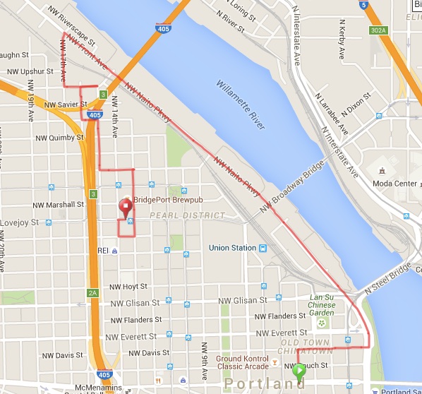
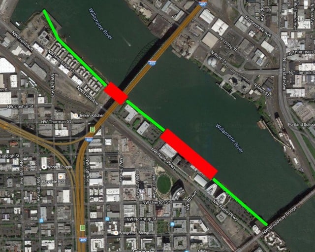
Here’s the route I took today (doesn’t show excursion onto the Willamette Greenway path):
For today’s ride I explored NW Naito/Front (it’s Naito south of Fremont Bridge, Front to the north) and the outer reaches of the Pearl District.
Naito/Front could be one of Portland’s marquee streets — but its potential is unrealized because it’s designed primarily for the use of cars and trucks. If we redesigned Naito/Front with more space for biking and walking it would attract the type of commerce and activity befitting a great city.
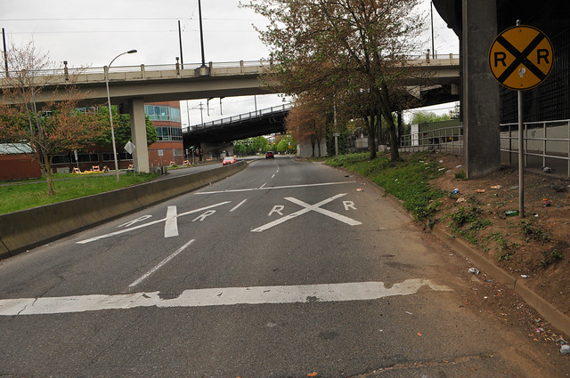
In the mental map of most Portland bike riders Naito is somewhat forgotten north of the Steel Bridge. That’s due to it being the last direct connection over the river until the St. Johns Bridge many miles up the road. The infamous “Naito Gap” in the bike lanes and a railroad crossing also might have something to do with it.
Another reason is that until very recently the land north of the Steel and Broadway Bridges was relatively undeveloped and lacking in destinations. Now that’s changing as big residential and mixed-use projects are going up as fast as developers can finance them.
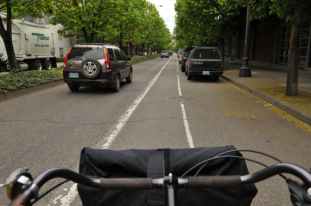
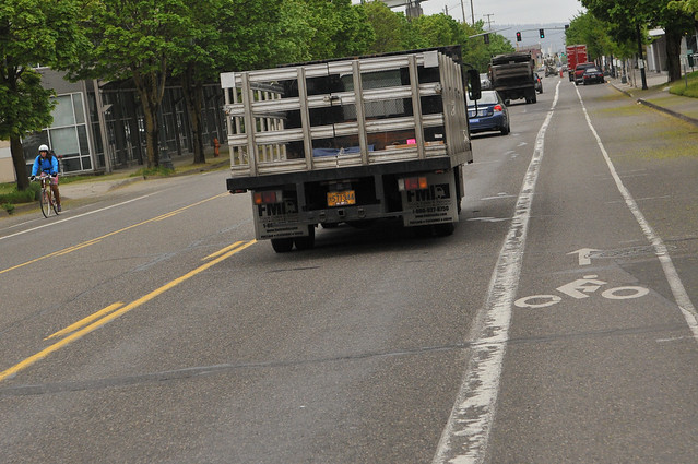
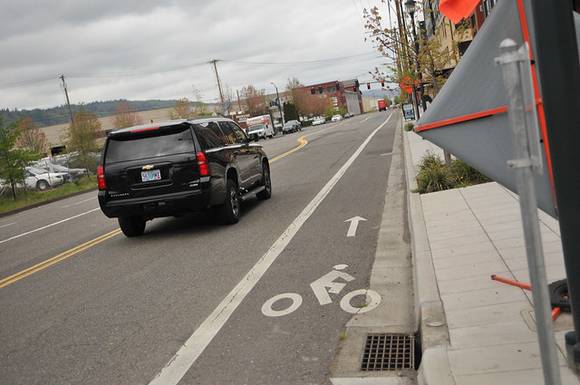
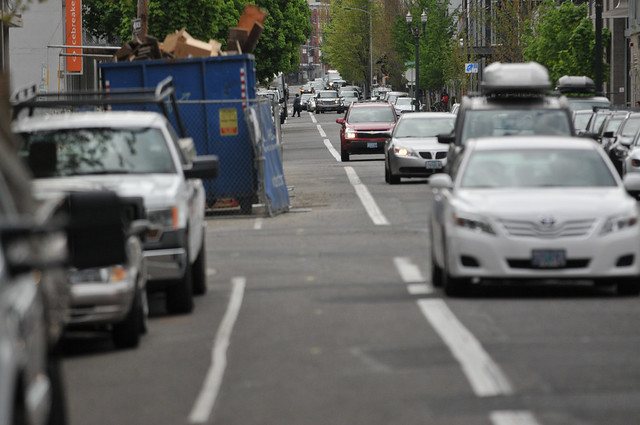
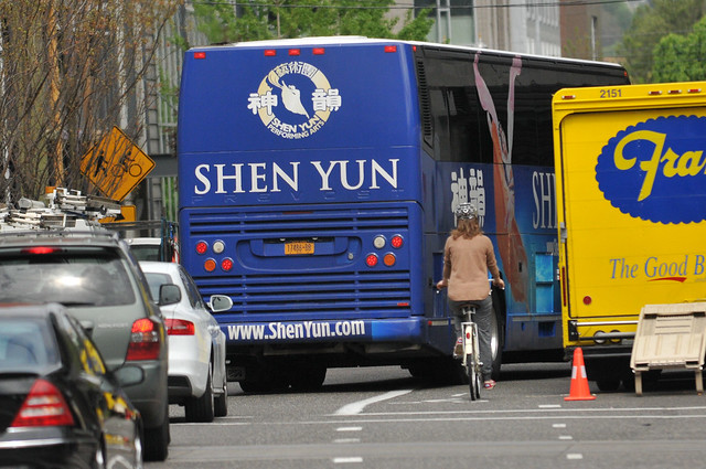
North of the Steel Bridge the bikeway is an uninviting 5-foot wide bike lane next one standard lane and an auto parking lane. Auto speeds here are pretty low so it’s not a terrible biking environment, but it’s certainly not as comfortable as it should be. The bike lane goes to NW 9th, which makes a nice and direct connection into the Pearl District near Fields and Tanner Springs parks.
Then the bike lane stops suddently at 9th.
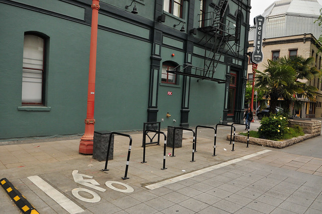
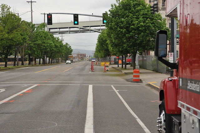
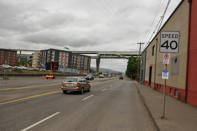
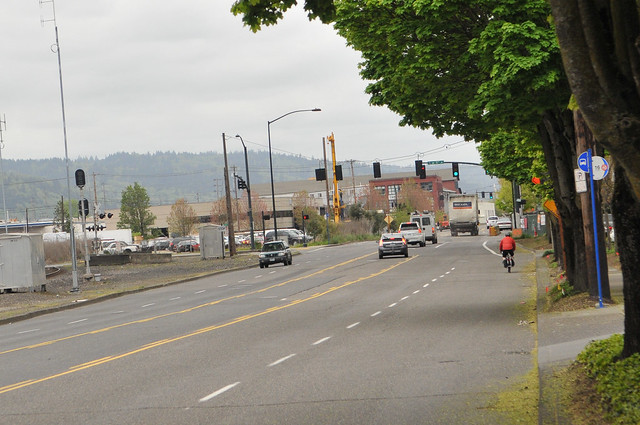
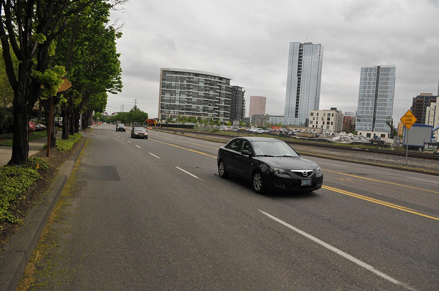
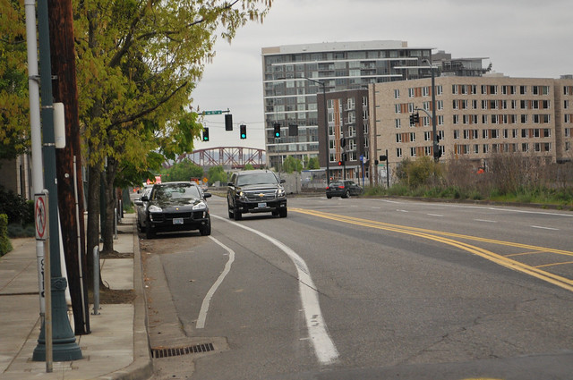
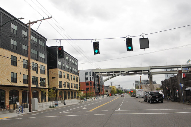
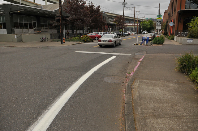
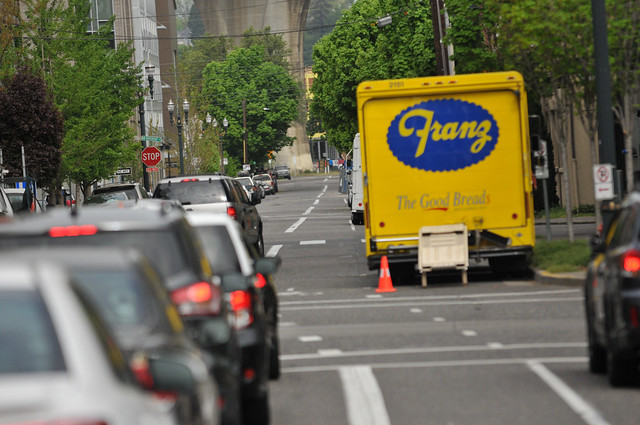
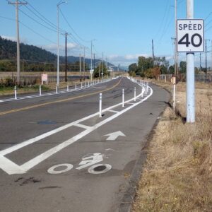
North of 9th the speed limit also goes up five miles an hour to a limit of 40. At this point (right under the Fremont Bridge) Naito is very wide with five generously proportioned standard vehicle lanes (two in each direction and a center turn lane). If there was ever a place for a major road redesign that allocates more space to biking and less space to driving, this is it!
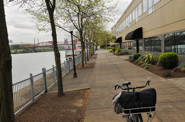
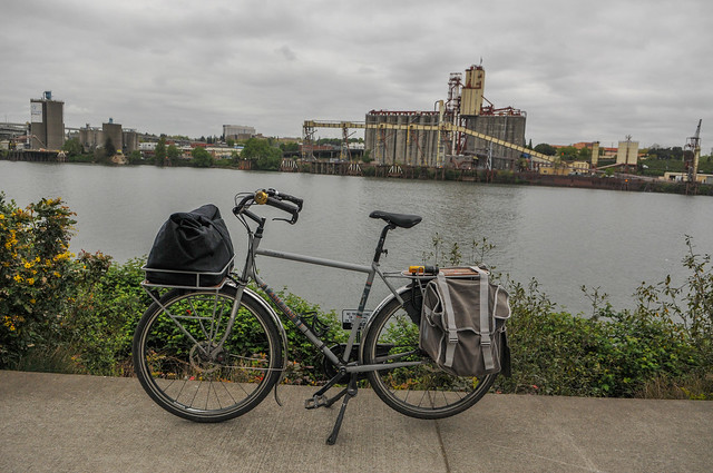
As I biked north on Naito I saw a decrepit sign for the Willamette Greenway Trail so I rolled out to the riverfront. I always enjoy riding along the river!
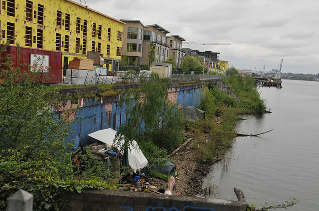
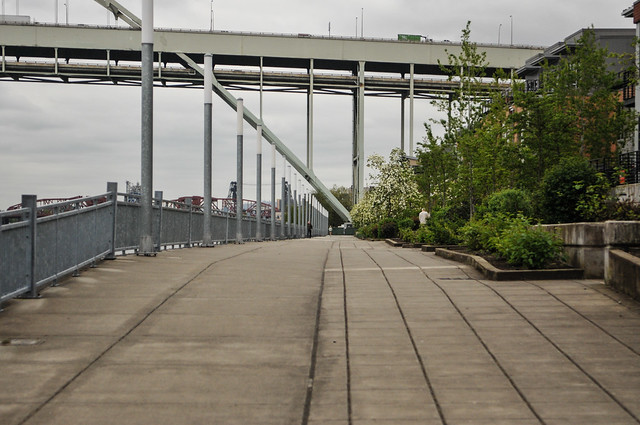
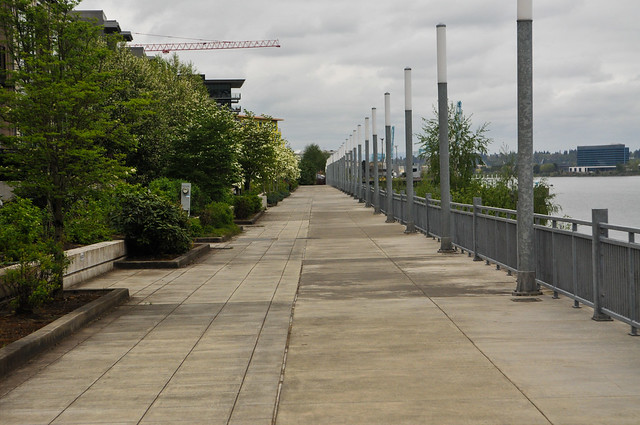
There are several great pieces of the greenway path north of the Steel Bridge, but unfortunately they are just that: pieces. Because the path only gets built as new development comes in, it remains a tantalizingly nice, yet frustratingly incomplete patchwork of access.
Advertisement
Between the Broadway Bridge and NW 21st Avenue there are just two gaps in the Willamette Greenway Trail. One of them is the Centennial Mills property and a former horse stable that used to house the Mounted Police (both of which the Portland Development Commission is currently prepping for development of both real estate and the future trail). The other gap is very small and just north of the Fremont Bridge. Once these two gaps are filled we’ll have a full one mile of paved riverfront path.
That’ll be nice to use as a more leisure-oriented path, but what about Naito? With all the new development and nice new pieces of trail going in the city has done almost nothing to improve bicycle access on Naito/Front Ave.
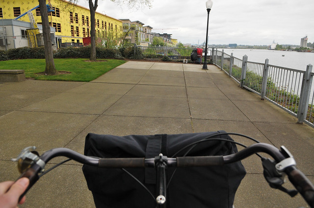
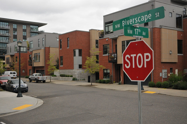
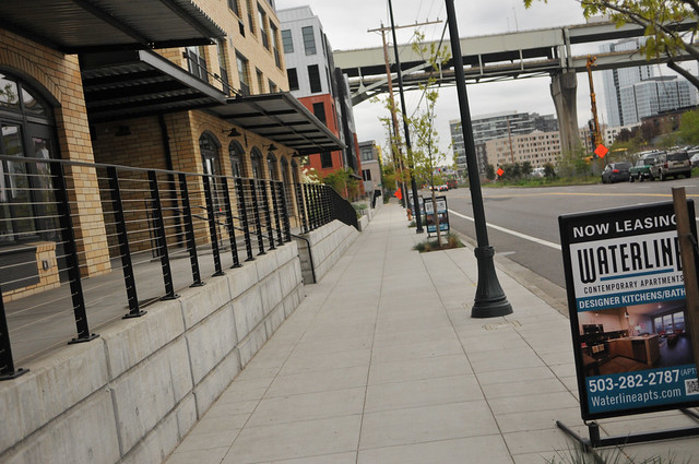
At the new Waterline Apartments immediately north of the Fremont Bridge, developers have built an entire new neighborhood. There are retail storefronts, a nice wide sidewalk on Front, and a wide and comfortable path on the river. They’ve even built a new street (NW Riverscape Street) between Front and the river.
With all this new development (including this new office building coming soon across from The Waterline) I expected a commensurate improvement in bike access. To my surprise however, out on Front Ave we’ve still got just an outdated and uncomfortable 4-5 foot wide unprotected bike lane.
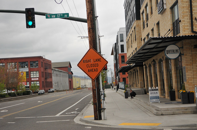
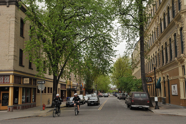
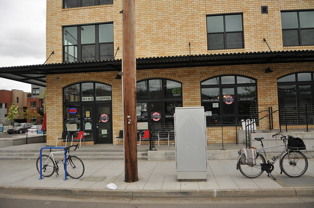
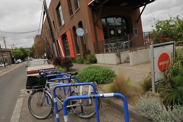
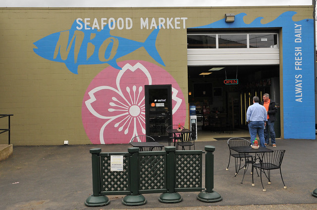
I rolled inland (away from the river) at NW 17th. This area feels like it’s on the cusp of major growth. There are new buildings going up everywhere and new destinations popping up to serve them. Just a few blocks off Front I came to Thurman and saw a bustling streetscape. There were schoolkids playing outside, people walking and jogging, and popular destinations like Olympic Provisions, Steven Smith Tea Makers, Mio Seafood and Breken (a cool breakfast/lunch spot).
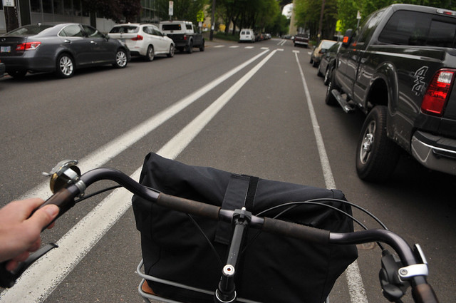
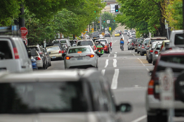
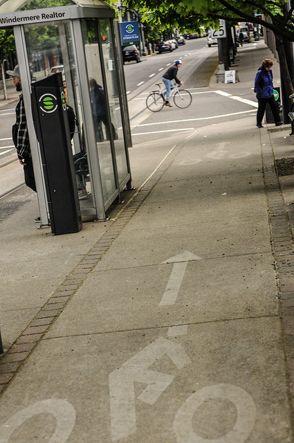
From here I pedaled into the Pearl using the buffered bike lane on NW 16th. It was nice to see this buffered lane. It takes you from Thurman all the way to Johnson, a key east-west street in northwest. One cautionary note: People park all the way to the corners on 16th so visiblity at intersections is poor. You have to keep your eyes up and watch for cross-traffic.
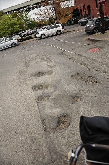
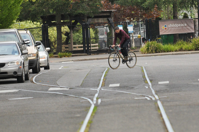
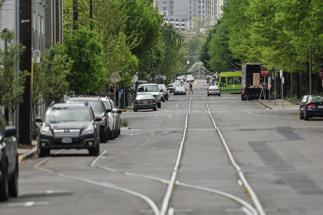
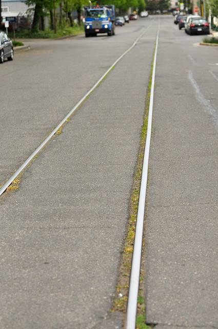
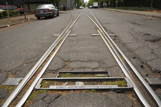
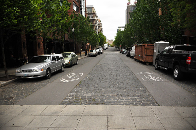
Instead of riding on 16th, I rolled over to 15th after hearing about it in our comments here on the blog last week. With the buffered lanes on 16th, 15th could serve as a northbound bikeway couplet. But unfortunately the street has been neglected and it’s not very inviting. The reason people avoid it is because it’s got a lot of old, exposed streetcar freight train tracks on it.
If it was ever cleaned up and given some love, 15th could be an excellent north-south bikeway. Instead of 15th, the city has made 14th the main northbound bikeway. While it has an unprotected bike lane, it feels narrow compared to the buffered lane on 16th.
Before pedaling over to our “office” at Urban Grind Coffee (NW 14th and Kearney) I took a peek at the bike lanes on NW Marshall where the City of Portland has smoothed out the bumps in the bike lane. I also couldn’t resist checking out the remnants of the old bike lane on NW Lovejoy — which has since been retired in favor of the new streetcar.
Stay tuned for more NW Portland coverage all week.
— Jonathan Maus, (503) 706-8804 – jonathan@bikeportland.org
BikePortland can’t survive without subscribers. It’s just $10 per month and you can sign up in a few minutes.



Thanks for reading.
BikePortland has served this community with independent community journalism since 2005. We rely on subscriptions from readers like you to survive. Your financial support is vital in keeping this valuable resource alive and well.
Please subscribe today to strengthen and expand our work.
I rarely use Marshall. I generally use Overton- partly because it goes all the way to 23rd.
For north-south, I tend to use 18th/19th (which have bike lanes, mostly) to Alder, take 9th+Flanders+3rd (southbound), 4th+Glisan+14th+Overton (northbound) or Naito (generally northbound).
The diagonal tracks on Naito are fun. I generally take a full lane. Such is life on a bike with super-skinny tires. And yes, the car doors on Naito are fun.. so are weekends when the Saturday Market people commandeer a NB lane on Naito plus the bike lane (supposedly they leave the bike lane open).
Nice post, that perfectly illustrates how spotty the bike infrastructure is in NW. A couple thoughts:
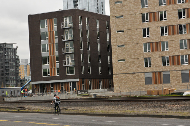
– The building next to the train tracks with the two colors of brick is the Abigail, which will include 127 apartments reserved for families earning 30% to 60% MFI. Whether deliberate or not, that ties in nicely with the earlier post about the demographics of NW Portland.
– The section of NW 16th you rode along is probably the nicest stretch of that street. The buffer disappears at Lovejoy, right when the street gets busier with cars trying to get on the freeway. Were it not for a three block gap between Johnson and Glisan the bike lane would be continuous all the way to Couch.
– NW 14th needs a lot of improvement, but it has more potential than 15th does. 15th dead ends at Davis, thanks to 1960s highway engineering, whereas the bike lanes on 14th extend all the way back to SW Jefferson. According to PortlandMaps PBOT is planning to repave NW 14th between Burnside and Northrup in the next year or two. That represents a huge opportunity to make major upgrades to the only major bike through the Pearl. I hope they seize that opportunity.
– A pretty huge office development is about to be built on the other side of Front Ave from the Waterline apartments. I hope that comes with more significant improvements to Front Ave.
– The tracks on NW 15th are old freight spurs, not streetcar tracks.
The stretch of Naito northbound past the Fremont Bridge is CRYING OUT for a bikelane.
It is totally viable too. They have closed off a lane of auto-traffic in order to construct all the new apartments and condos going up along that stretch at the moment.
If they can remove a lane of auto-traffic for condo development with no problems, they can remove it for a bike lane.
I worry big-time about how all the residents of the condos will get anywhere if they want to walk and bike. That stretch is currently so isolated, being separated by five lanes of Naito and train tracks.
You are right. This section really is crying out for a redesign.
Those rails on 15th are old freight tracks, not streetcar!
thanks Chris. And maccoinnich. Edited that part.
If we lived in the NW my partner would likely never cycle for transportation. I am writing this as I sit on the porch drinking wine awaiting her return by bike from dragon boating practice.
Will you be covering north on Front, say to Kitteridge? There’s a ton of employment out there.
I agree! Front to Kittridge could become a super useful route for people biking/running/walking to the new grand entry to Forest Park! (in design now)
I used to work in NW (that red brick building in your photo at Upshur and 17th). I would never ride down Naito in favor of the riverwalk from the north end of Waterfront Park, under the Broadway Bridge, and ending at Centenial Mills. I’d ride on the sidewalk until 15th. I totally agree with you about the need for protected infrastructure on Naito. It could be a great connector of Downtown, Pearl, and NW Districts. I’d usually ride down 16th and turn left on Overton to get back to the riverwalk on the ride home.
The area at Thurman and 17th is a little forgotten corner of NW but has some offices and nice restaurants! There’s even a nice bike shop on Raleigh at 15th. The dead space under the triangle of overpasses formed by the Fremont Bridge, 405, and 30 makes for an uninviting but not quite unsafe-feeling walking environment.
Super write up of what is a burgeoning section of NW. Please note language: runners not joggers! Thanks.
East/West connections in NW needs the Flanders bridge over I-405; Sam’s baling on that was a great disappointment. Otherwise things aren’t too bad. That shot of the decommissioned Lovejoy bikelane actually went in WITH Streetcar. Was removed when the Lovejoy/Northrup couplet went in.
North/South, I like making 12th Avenue a real “all modes” of travel street from north of Lovejoy to PSU. Likewise the Park Blocks will be a super “neighborhood greenway”; 1st step? get a signal at Burnside. Forget 15th. Then there is Broadway…needs help and 3rd Avenue. Northbound (downhill), taking the lane works well with 12 mph signals. Likewise in the Pearl District and Oldtown. Taking the lane should be the rule. It reduces the risk of right or left hooks. I wish the Bike-cops would get out in traffic.
I have been using Naito in the mornings for the past six months.
The bike lane on Naito between the Steel and Centennial Mills is even more uninviting in rainy weather, the middle of the bike lane is snow tire rutted from when I assume Naito was 4 lanes. Thus you dangerously choose running closer to the traffic lane or the door zone side of the bike lane, getting really wet, or taking the traffic lane.
Naito desperately needs to be made into 2 car lanes with buffered cycle lanes and no street parking from the Steel Bridge continuing into Front Ave if it is going to be something people truly gravitate to for getting around by bike.
Olympic Provisions? That must be affiliated with the Olympic Games, right? How would I know! I’m suffering from serious consumer confusion.
for a city that prides itself on bike infrastructure, we sure take our dear sweet time sweeping up road gravel. the bike lanes on naito are a mess from winter gravel and the broadway bridge construction site. thanks for the write up though. the pearl is kind of mess so I rely on overton for east west rides and hook up on 9th for north south rides into the pearl and downtown. its the most direct and has plenty of stop signs to regulate traffic speed.
Do you ride the door zone on 9th or do you take the lane? Also, Overton between 9th and 14th is a Traffic Access Street and has no stop control (the 11th stop sign is temporary). Still popular with bicyclists but it is a relatively major street with relatively high traffic volumes.
yeah overton is a little froggery at the moment but they are winding down most of that construction pretty soon. the worst is actually the two stop signs on 15th coupled with those crappy rr tracks. actually people run the stop signs on 15th all the time. any road that crosses it can be hairy. watch out. on 9th, I usually just ride to the side of let some car run interference and ride behind it. the broadway bridge intersection is the worst part of that ride but everything else all the way to los goriditos is fine.
Good point about the two-way stops. There are several that can be hairy- Overton and 22nd, Overton and 17th, and (the worst) Overton and 15th.
I had video of a pizza driver ignoring a stop (I was approaching, no stop from my direction, I was going 20). I emailed the pizza shop and they sent a very sincere apology. Happens all the time, unfortunately.
my general rule for city riding is I try and keep up with traffic but ride behind a lead out vehicle. I don’t like being overtaken from behind. if im feeling anti social I ride behind that new hotel and cut over by the train station and take 3rd into downtown.
For 3 years my own employment was out at the end of Front/Naito, beyond Kittridge. Agreed that there’s a need to improve the bike experience there. Frustrating that there are still gaps in the bike lanes fairly close in – they’re better than they were 15 years ago, but still not complete, and there’s plenty of room for them.
One problem, once you get further out towards Kittridge, is the number of old train tracks that cross Front – short spurs connecting the riverside businesses with the mainlines. Many of these are still in use and can’t be removed. They cross the street at fairly acute angles, especially on the right side of the street as you’re headed back downtown, where they’re often less than 20 degrees. As a result, even on days when I rode Naito to work in the morning, I’d return home crossing the Kittridge bridge over the railyard and riding St. Helens Road.
St. Helens/Kittridge was longer though, so if I was in a hurry, weather conditions were nice and especially if I had a good tailwind I’d still take Naito. I never caught my front wheel and went down on the numerous acute rail crossings, but I once caught my rear wheel and nearly got spun around. That was scary enough.