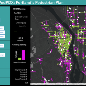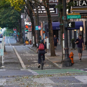
Metro’s excellent Bike There! map is set for its first major update since 2007.
Metro’s project manager and cartographer for the update, Matthew Hampton, checked in with us last week to share more about what’s in store. Hampton created the last two versions of the map and says he and his team have input all the public feedback they’ve received since its last printing in 2007.
In addition to reflecting public feedback, Hampton says the 2010 version will have greater regional coverage (out to riding areas in Hagg Lake and Dodge Park), an “improved array of detailed subarea maps that show parks and local bike paths,” and many other improvements.
The updated map will also show things in the bike network like cycle tracks and buffered bike lanes. It will also list the many new bike shops that have sprung up in the last three years.
In 2007, the Bike There! map celebrated its 25th anniversary. Check out OregonMetro.gov/BikeThere for more information and stay tuned for the release.


Thanks for reading.
BikePortland has served this community with independent community journalism since 2005. We rely on subscriptions from readers like you to survive. Your financial support is vital in keeping this valuable resource alive and well.
Please subscribe today to strengthen and expand our work.
guess it’s probably too late for suggestions, but i sure wish it would have the same notation as the san francisco bike map has for serious uphills (greater-than signs pointing in the direction of the climb).
happy that i can buy a 2010 map or 3, regardless, tho! looking forward to seeing some of those dotted purple lines turn into solid ones.
I love my 2007 map and look forward to a new one!
I would like to point out that I’d also LOVE LOVE LOVE hill markings. The PBOT maps have them, why doesn’t the metro map?
I had the privilege of being involved in one of several feedback discussion groups (mine was geared to bicycle retailers), where I learned TONS about what goes into creating and updating a map, especially one as comprehensive as the “Bike There!” map.
I think people will be pleased with the final version, which has taken quite a lot of time and energy to configure. Bravo to Metro for continuing to provide a valuable resources for those of us who ride.
One thing that I have suggested for other area bike maps but have yet to see…would be a map corner that could be cut and handed to a Trimet operator for a free ride – kinda like a “‘flat fix’ get out of jail free card”.
Similar to what is in the Chinook Book. [But I always forget to bring my Chinook Book when I have a bike flat. 😉
It would always be with your map and might be a good marketing reminder that transit is always an option.
Hopefully they’ll submit the 2010 data to OpenStreetMap.org as well so that data can be included in their Cycle Map layer (and thus OpenCycleMap.org).
FWIW – I have done the cartographic work for the last two BIke There! printings, but this project involves lots of people! We think this is a great resource and are happy to see positive feedback.
We are always looking for new ways to present bike suitability information to users in a meaningful fashion and we value your input. We are testing out some new layouts, map extents and symbology and will try and incorporate what we hear form users. If you have the inclination take our online survey, contact our bike planner, John Mermin or reply to this article. We’re listening.