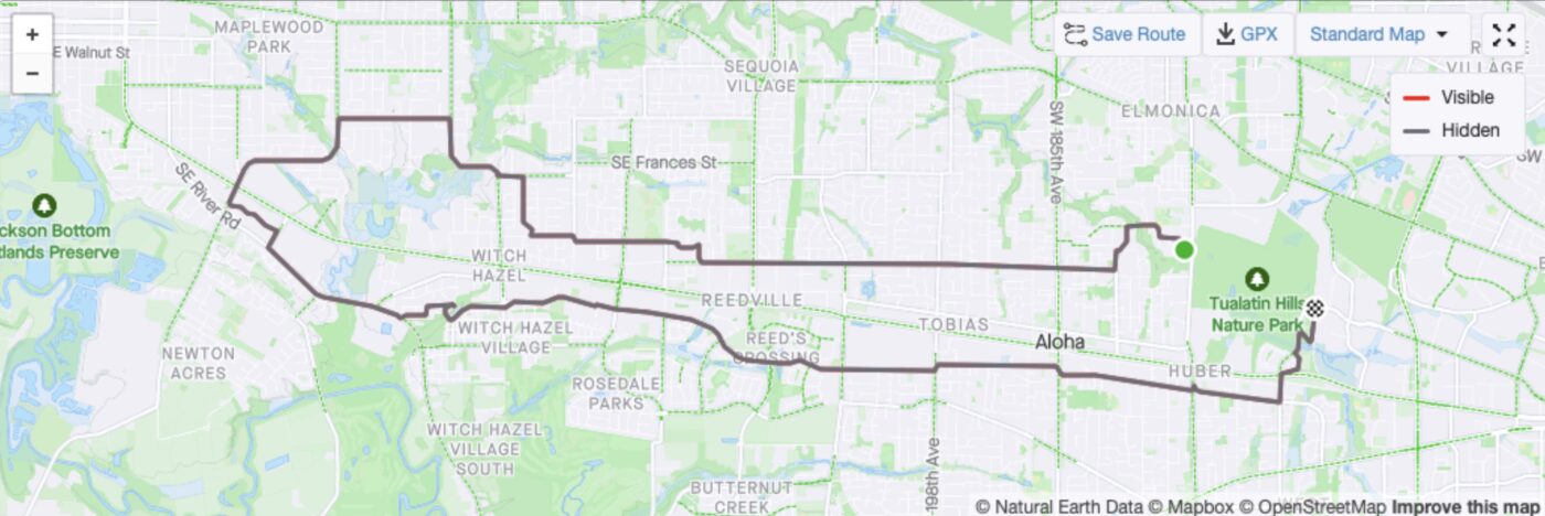
It’s no secret Tualatin Valley Highway, also known as Highway 8 or TV Hwy, is dangerous. Numerous news outlets have named it in the top ten most dangerous roads in Oregon across a span of many years. So on Saturday, June 15, Ride Westside, set out to explore alternative routes to get from Beaverton to Hillsboro and back by bike — without risking life and limb on TV Hwy.
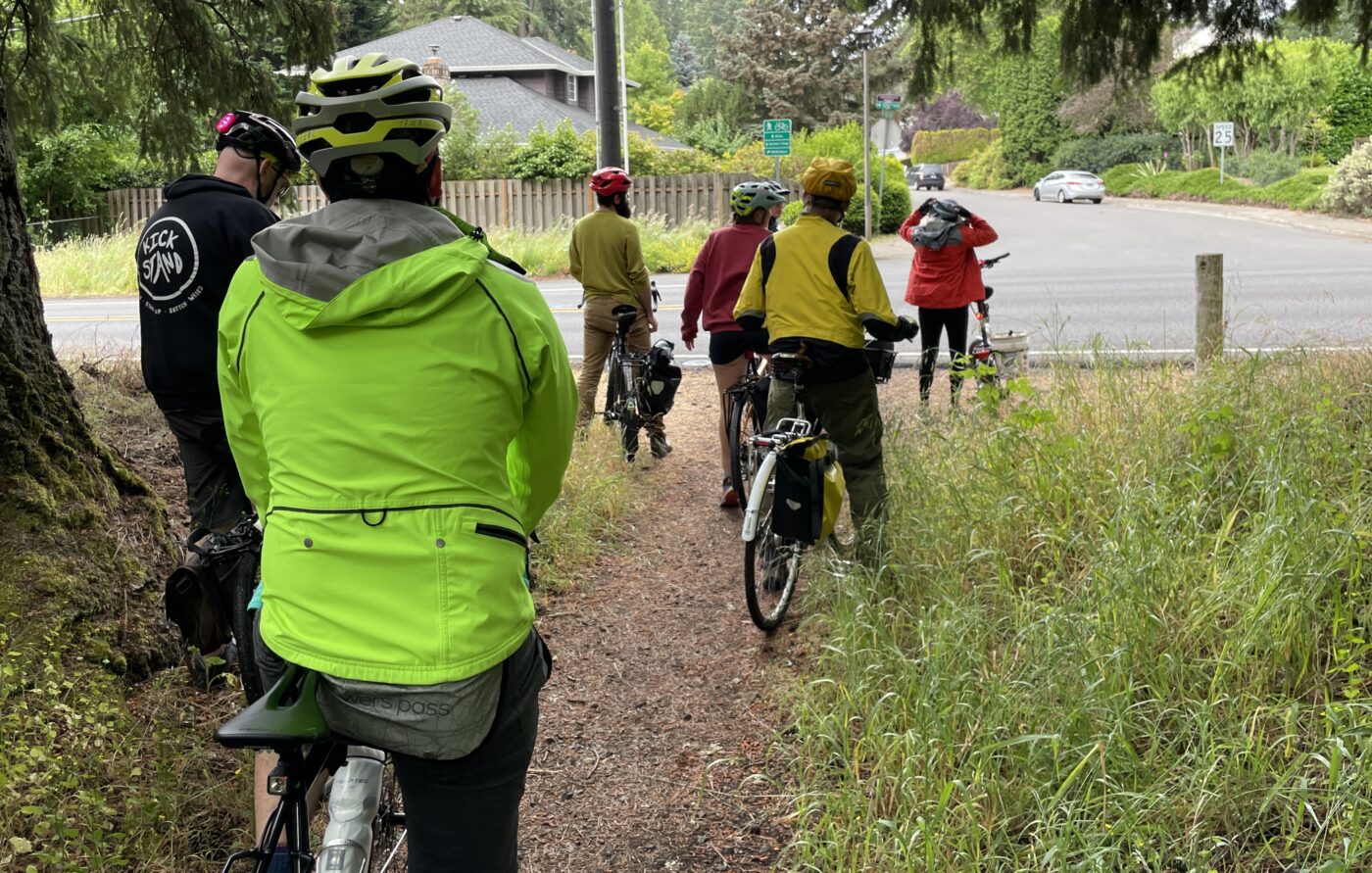
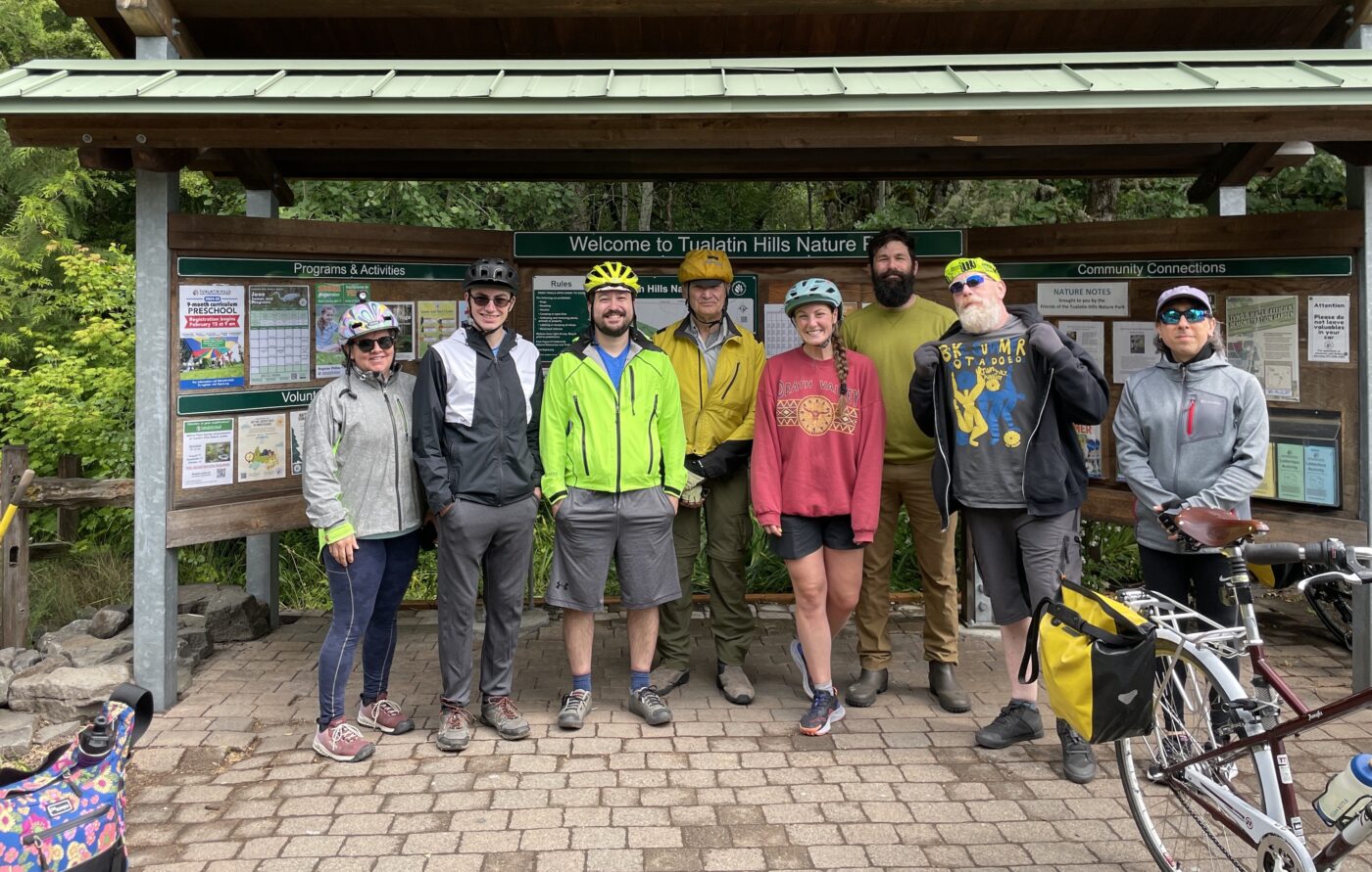
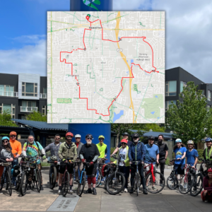
Ride leader Tim Wayman (second from left above) promoted this ride as part of Bike Summer and labeled it suitable only for riders 21 and over due to a few difficult crossings. That meant Ride Westside’s usual brigade of bakfiets, bucket bikes, and baby seats was notably absent.
Wayman’s inspiration for the ride was to share his two preferred east-west routes on either side of TV Hwy. “These are the two routes I take from my house in Hillsboro to Beaverton. They’re better than the bike lanes on TV Highway, but that’s a very low bar.”
We met at the Tualatin Hills Nature Park, and set off in between rain showers.
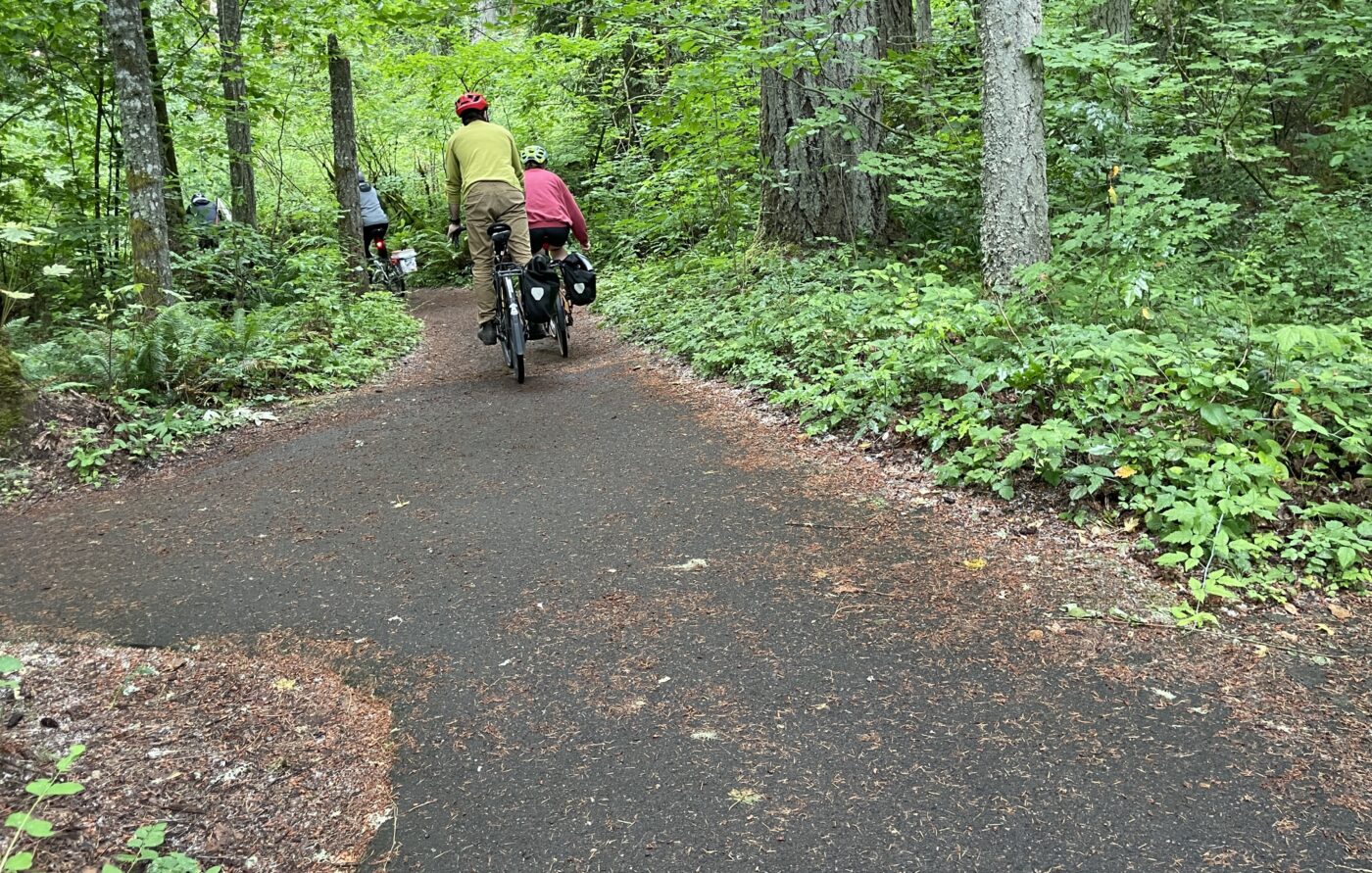
The path through the park was beautiful, but also narrow and shared with a lot of people walking. It was a Saturday, and there was a volunteer work party happening in the park. It meant riding slowly, carefully, and single-file.
The first hairy crossing was at SW 170th at the edge of the nature park. Tim specifically asked us not to cork for this crossing, as the traffic coming over the hill on SW 170th was going fast and couldn’t see us until it was too late to stop. We crossed in two groups, waiting and listening carefully.
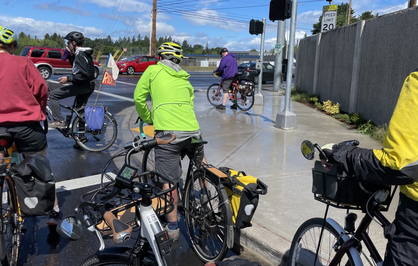
After crossing 170th, we biked through some low-traffic neighborhood streets, crossed the pedestrian bridge on SW Augusta Lane that joins neighborhoods over the Beaverton Creek gully, and found our way to Johnson Street. Johnson is a through street that parallels TV Hwy most of the way to Hillsboro (we took it as far as Hillsboro’s SE 72nd Avenue). It tends to be narrow in places, with bike lanes that appear and disappear, and we were close-passed several times by drivers that seemed impatient with people on bikes.
“If I could, I’d like to turn Johnson Street into something like a neighborhood greenway, with car blockers [diverters] that prevent it from being a through street. Right now, drivers use it as an alternative to TV Hwy too,” Tim said.
Not long past Johnson, our intrepid ride leader had a mechanical failure. The bolt on Tim’s seat on sheared off entirely, sending him (and his seat) flying. There were no injuries, but Tim headed home standing on his pedals, and John Haide from Hillsboro stepped in as our leader for the rest of the ride.
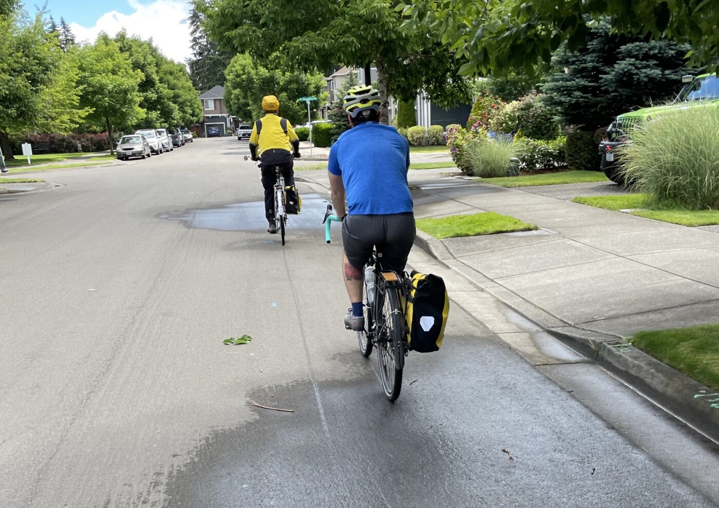
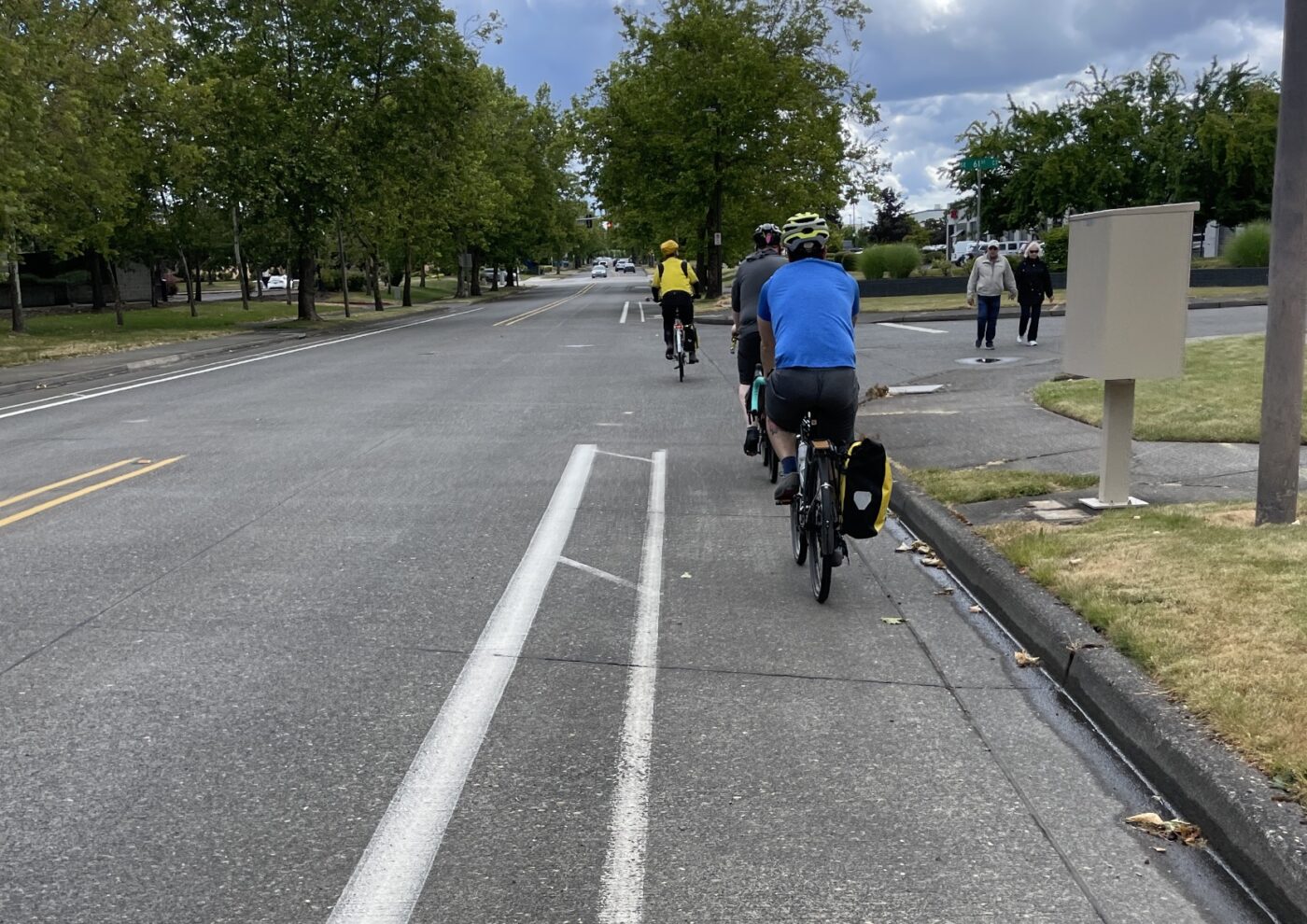
When Johnson Street ended, we picked up SE Drake Road, and then skirted around marshy park lands where Rock Creek, Turner Creek, and Reedville Creek join. We eventually crossed TV Highway on SE Cypress Street (by the Hillsboro Home Depot and Lowe’s), tootled through big box parking lots, and came out on SE River Road.
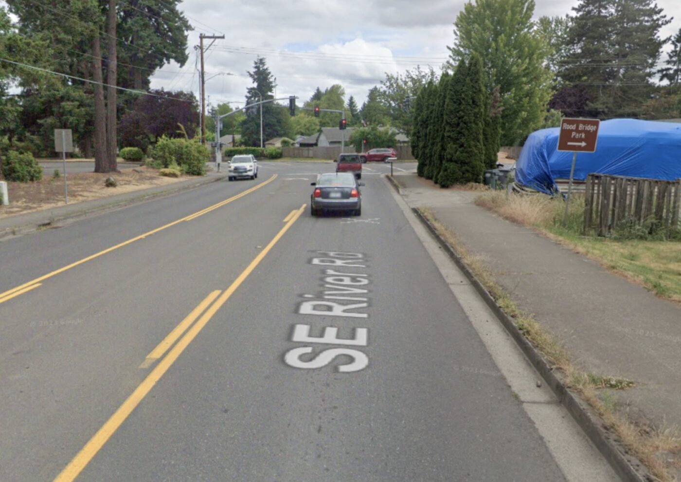
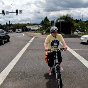
SE River Rd has three general travel lanes — one lane each direction plus a center turn lane — with sidewalks, but no bike lanes. Our group had dwindled to four from our original eight, and we mostly rode the sidewalk. This part of the ride was uncomfortable, and I was more worried about traffic than taking pictures, so I pulled a few shots from Google Street View.
We left River Rd into neighborhoods again at SE Discovery St, and I was less worried about wrecking my bike and traffic enough to take more pictures. This portion was fairly typical low-traffic suburban streets — quite a relief after SE River Rd.
On SE Alexander St, which is handy for biking as it goes behind many TV Hwy businesses, there are painted bike lanes (a welcome change from River Rd) and many cross-streets to access TV Hwy from the back.
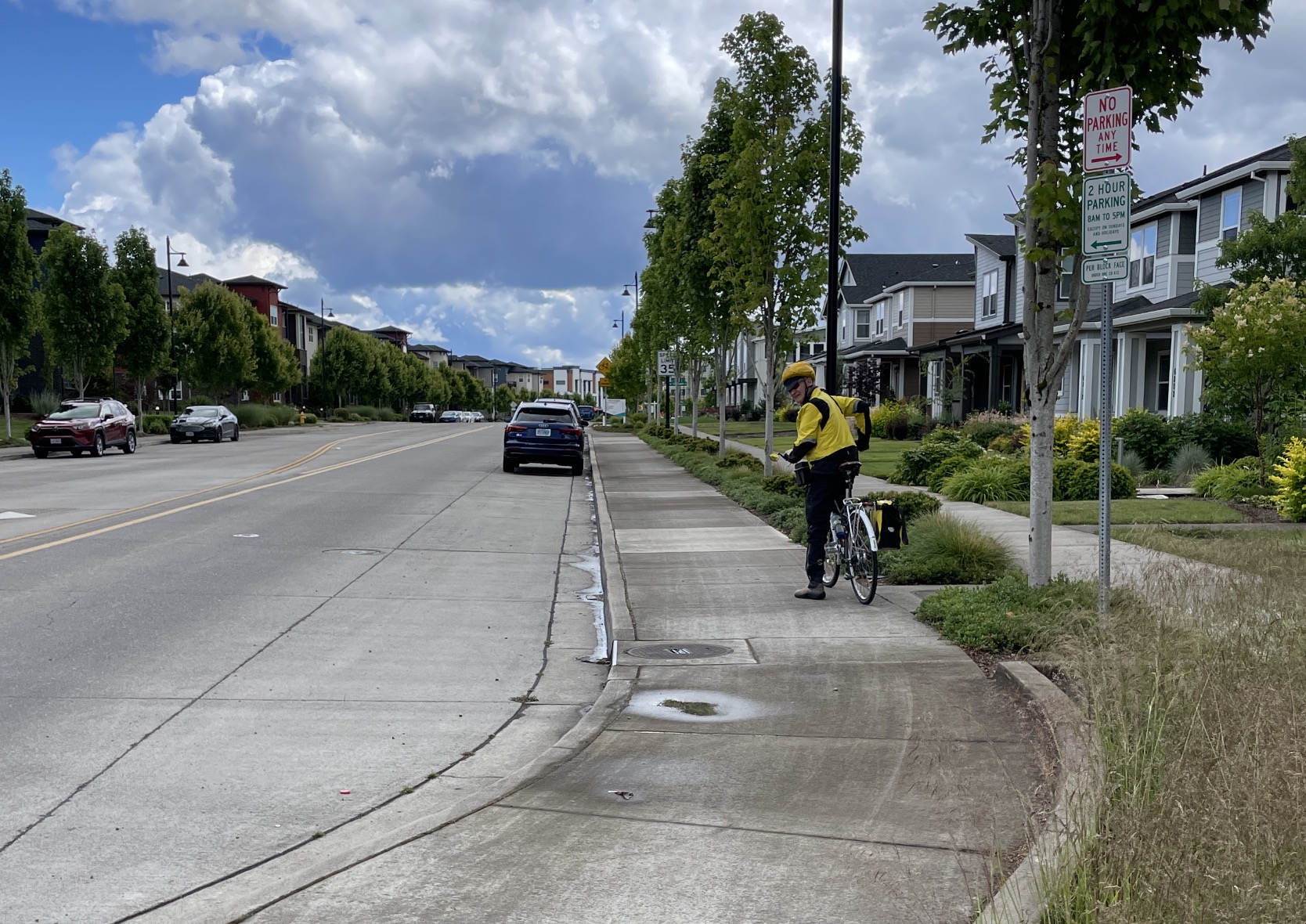
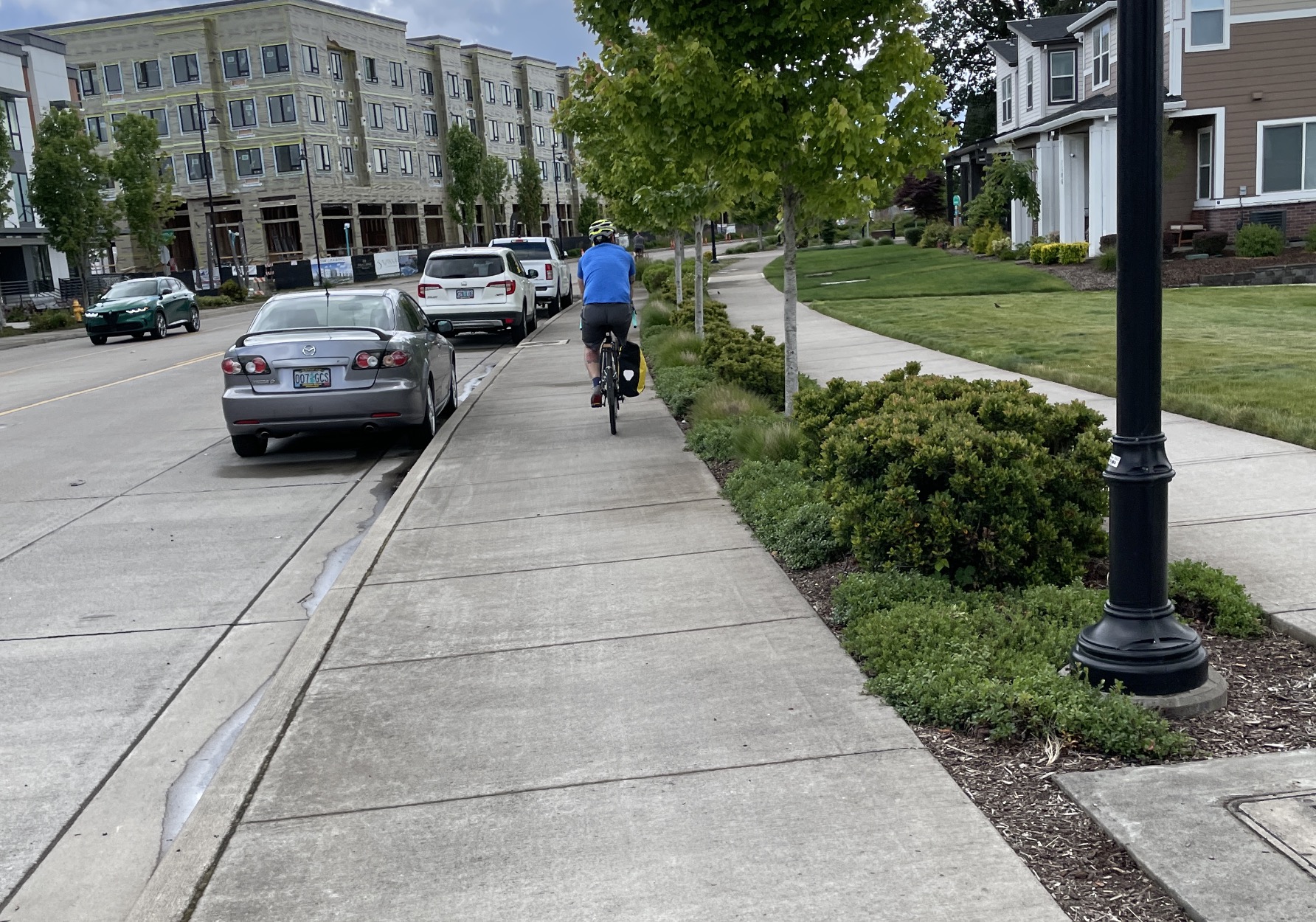
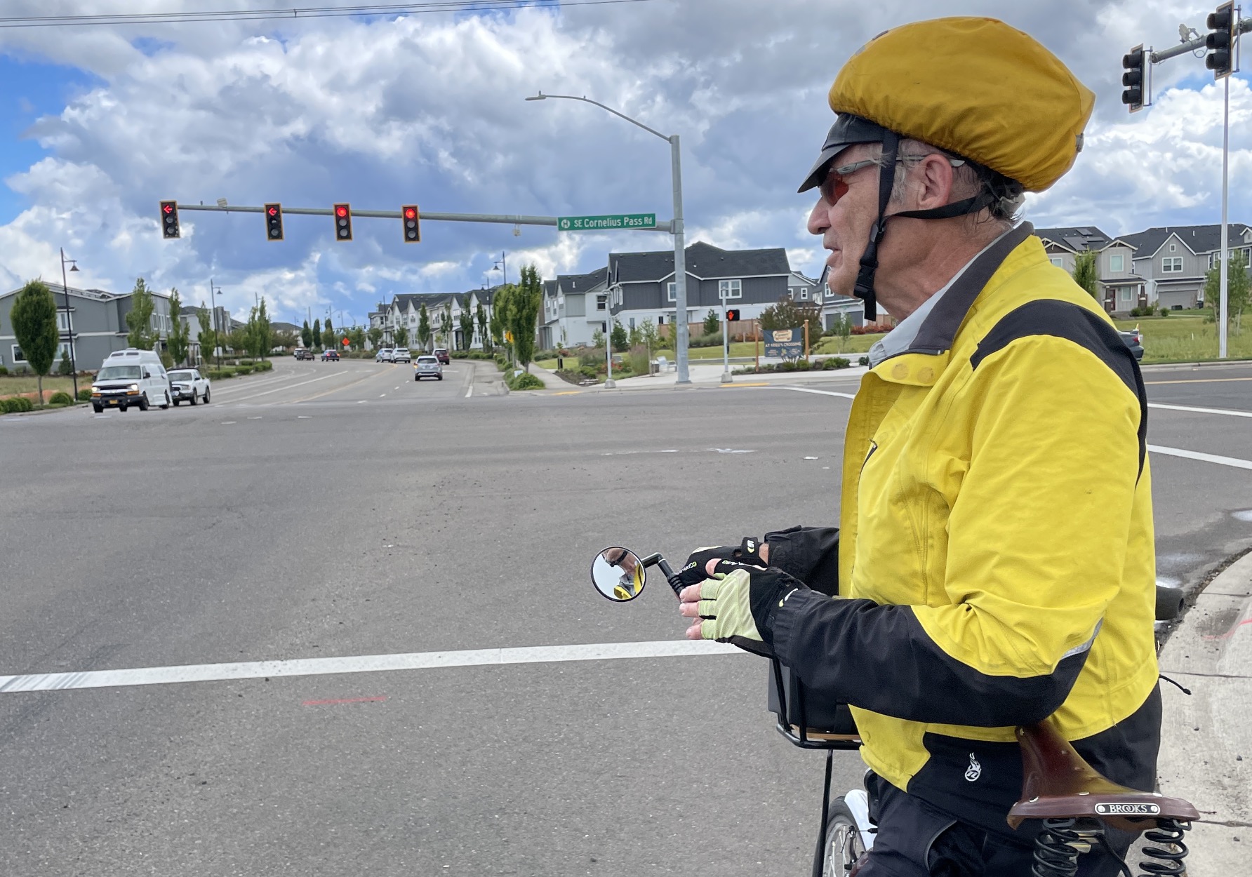
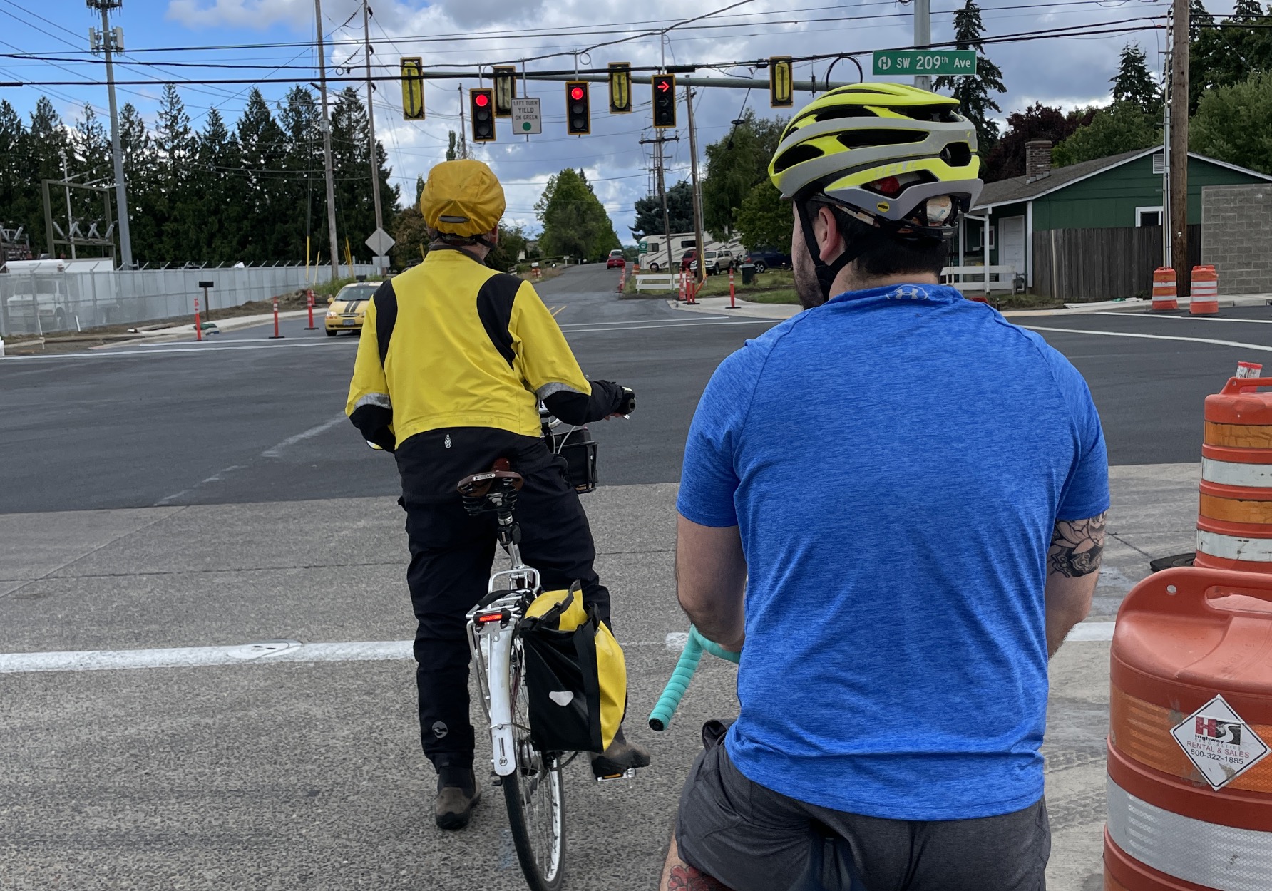
Then I had my absolute shock of the day: At SE 67th Ave, SE Alexander turns into SE Blanton and the Reed’s Crossing neighborhood. And there are cycle tracks. Between SE 67th and SW 209th (and it’s not that far, because the streets renumber between Beaverton and Hillsboro), there are lovely, beautiful, separated cycle tracks. Separated from cars. Separated from the sidewalk. An actual designated place for bikes to be. On both sides of the street.
I wanted to kiss the ground, but that would have been weird. Instead, I just rode, with a big grin.
When we crossed Cornelius Pass Road, ride leader John Haide explained how the cycle tracks work at the crossing a major road. Turning bike traffic has a difficult time getting off the cycle tracks and into a left turn to access TV Hwy businesses.
Sadly, all good infrastructure must come to an end (or must it?!). At SW 209th Ave, we crossed out of the new development and the blessed cycle tracks, and back into an area of older houses likely built in the 70s or 80s, with no bike lanes or sidewalks at all.
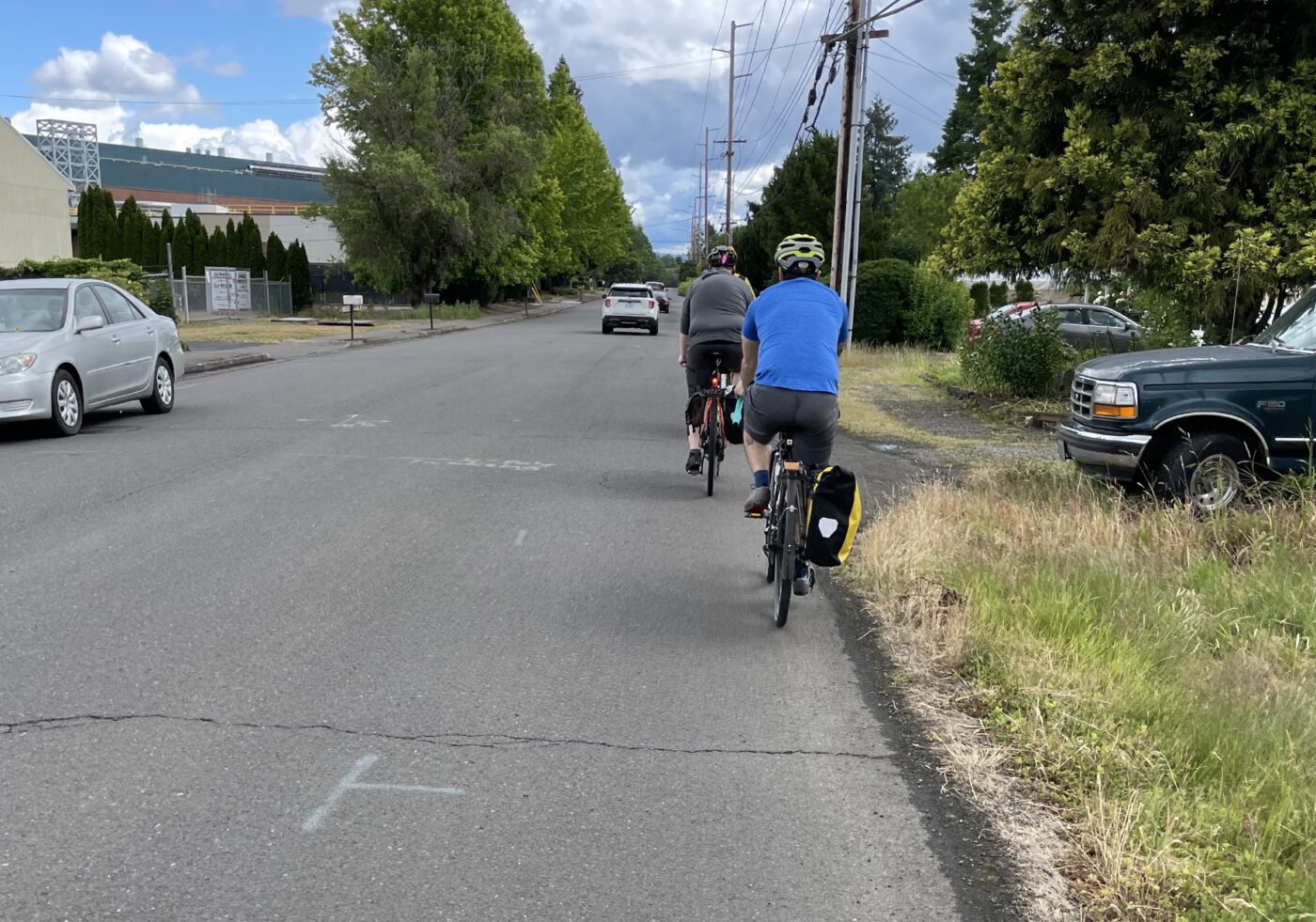
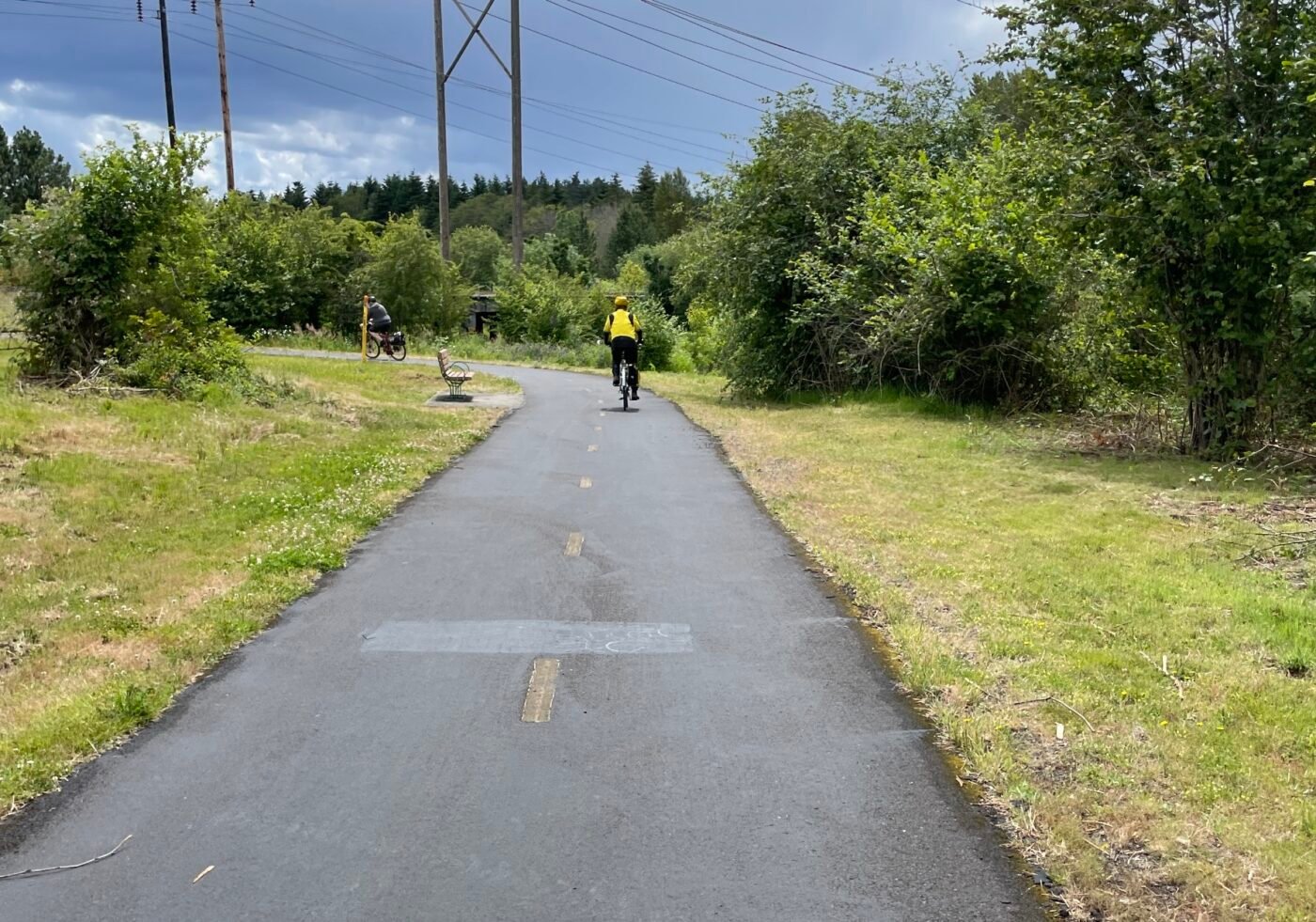
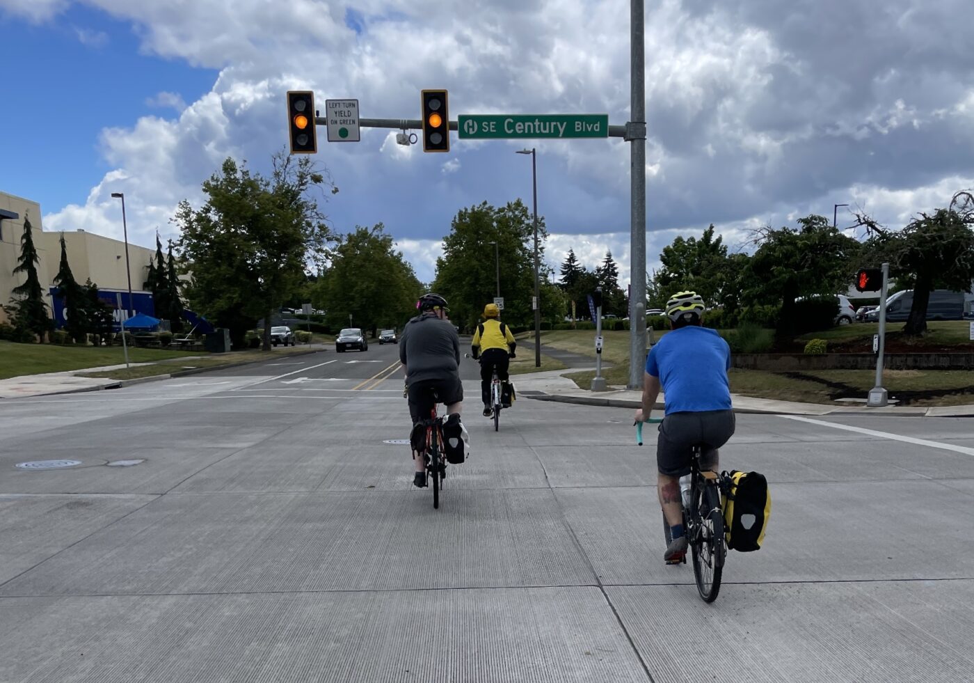
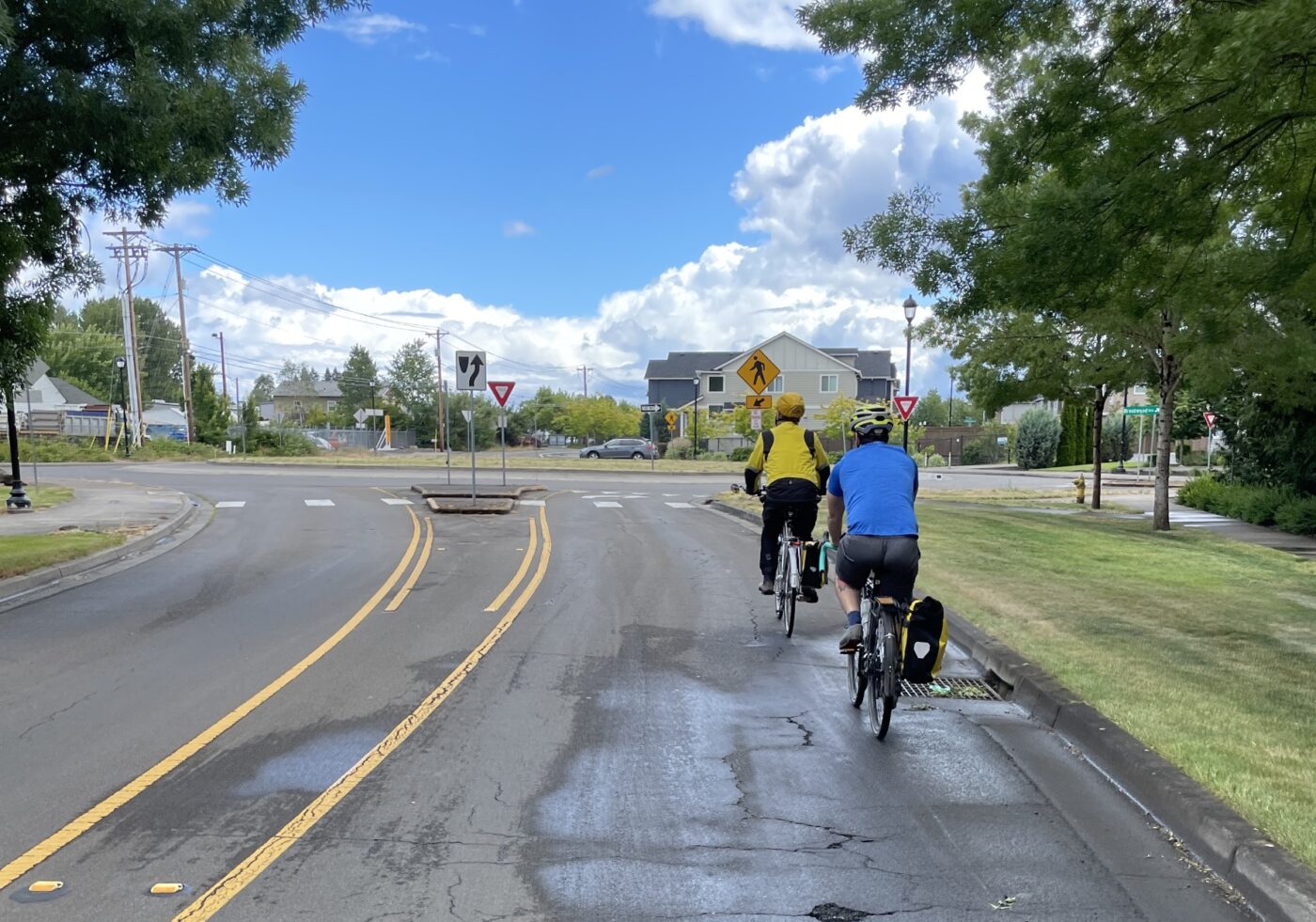
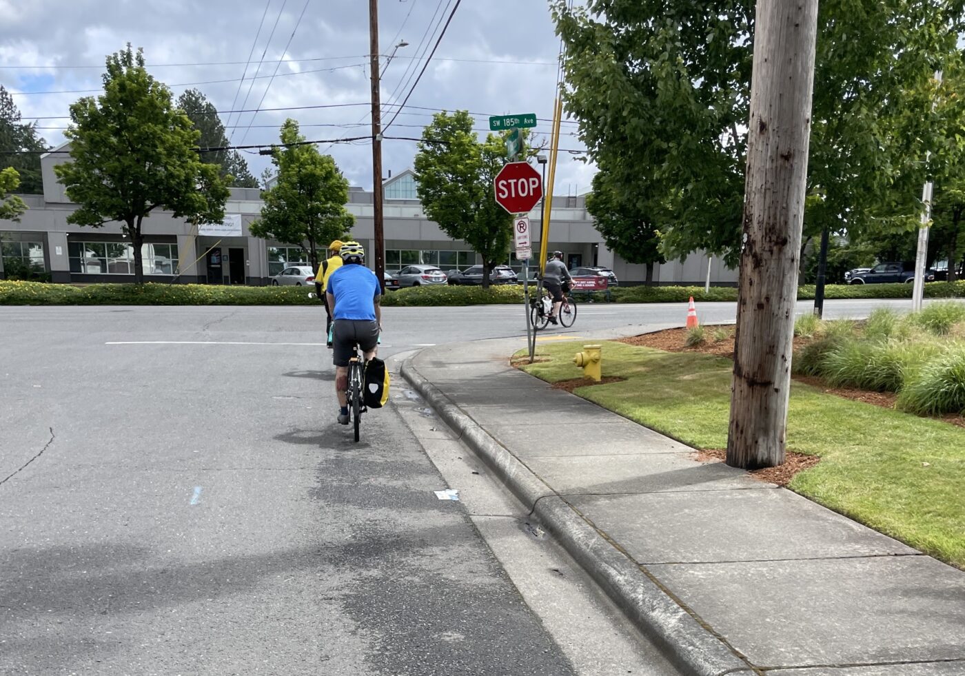
Blanton Street on the other side of 209th is narrow and has a lot of cars. Sadly for us, cars are using it as an alternative to TV Hwy just like we were.
After a hairy no-signal and unaligned crossing of SW 185th, we stayed on Blanton until 160th, where we crossed TV Hwy again, and caught the Westside Trail at 160th and TV Hwy. Whew. Off the roads again.
After the ride, I talked with two riders, Michael Hashizume (third from left in green hi-viz jacket in group photo) and Mick Orlosky (second from right in yellow hat), at our impromptu lunch at the BG Food Cartel in Beaverton, and later by phone with ride leader Tim Wayman (who fixed his bike at home).
Hashizume, who lives and bikes in Beaverton, said this ride felt different from typical Ride Westside outings. “It felt like there was a different attitude with drivers. We got close-passed and honked at. The cycle tracks were great but then they just ended.” Would he ride this route on his own to go to Hillsboro? “No,” he replied. “Hillsboro is pretty much drive-only for me. Biking is pretty hairy.”
Orlosky, who also lives and bikes in Beaverton and didn’t start riding until he turned fifty, found the ride pleasant with more utility than scenery. “There were busy roads, but not anything I’m not used to,” he said. When asked about infrastructure, Orlosky added, “I want the infrastructure to improve. I think people can do a lot more than they think they’re capable of. That doesn’t mean we don’t need more infrastructure.”
“I’m practically a senior citizen at this point.,” Orlosky added. “I try to avoid my car as much as possible and do everything I can by bike. I’m not a particularly strong rider, but I coexist with cars.”
If Wayman, our ride leader, could wave a magic infrastructure wand, he said he’d make everything look like the Blanton St. cycle tracks. He laments that his preferred alternatives from TV Hwy still aren’t that great. “This is probably not the place to cut your teeth learning how to be a commuter cyclist,” he acknowledges.
I’m a former suburban soccer mom who only started riding frequently in 2019. My kids are grown, but I still tend to see the world through the lens of kids and parenting. Would I have sent my hypothetical twelve-year-old out to sports practice on those roads? Maybe, in places. Definitely on the cycle tracks. Definitely not on parts of Blanton, Johnson, or River Road where there are no bike lanes and lots of traffic.
Would I use these roads as an alternative to driving if I had to go to Hillsboro? For me, probably not. I’d take my bike on the MAX instead.
What about you? What would it take for you to ride more in Washington County?





Thanks for reading.
BikePortland has served this community with independent community journalism since 2005. We rely on subscriptions from readers like you to survive. Your financial support is vital in keeping this valuable resource alive and well.
Please subscribe today to strengthen and expand our work.
To ride more often in Washington County? I want a moratorium to block all future construction of drive-thrus. Also, stop widening roads. WashCo plans to cut down giant Oregon White Oak trees on SW Denney Road because, “traffic”.
Agreed! Drive-thrus are a menace. And I didn’t know about the oak trees on Denny Road. If I could wave my magic infrastructure wand, I’d add protected cycle tracks everywhere with just a fraction of the Highway 217 project money.
I hate the 217 widening but I *love* the bike-ped bridge at Hall Blvd. Kudos to ODOT for paying for this dedicated (but temporary) route for non-motorized users.
I’m still practically aghast that, this day and age, PBOT (ODOT?) is widening Walker Road, turning it into yet another 5-lane stroad, and as far as I can tell, there’s still no actual bike lane, just a “bicycle gutter”, i.e., a shoulder with some paint on it. From how SE Blanton looks, the “cycle track” is actually the shoulder of the road, elevated so that no one (who’s not driving completely maniacally) will veer onto it. That seems like it ought to be the standard; the number of times I’ve seen people cross over a shoulder line around Cedar Hills (and elsewhere) is enough to legitimate my decision not to bike from my apartment there to work in Tanasbourne.
An elevated shoulder seems like such an obvious, fundamentally non-expansive change that would make biking a much more palatable option for a lot more people.
Riding on SE Blanton, the cycle track felt like a dedicated sidewalk for bikes. It was truly glorious. Right next to the actual sidewalk for walking people, so no confusion about who belongs where.
There are plenty of destinations for me in Washington County, but one of the worst problems for me is that the crossings of 217 are so far apart. It nearly doubles the distance for some journeys and is also really unpleasant.
I completely agree, and the same is true for crossing US 26.
I live in Tigard and work in Hillsboro. The Aloha region is an absolute show stopper for me. I tried many different ways to bike to Hillsboro, and ended up with two options:
I hit a good stride riding in via country roads in the morning and using MAX and WES in the afternoon. Sometimes I’ll skip WES and just ride Beaverton to Tigard. Asian Family Center and Natural Grocery near the Beaverton TC makes transfers a great chance to pick up some fresh veg for dinner. I don’t know of a good way to get between Hillsboro and Tigard during the evening commute in a bicycle or in a car. Thank god for MAX and WES, and a Better Red has my hopes high.
If only WES ran a sane schedule, too.
Oh that’s a whole ‘nother discussion about the WES trains.
True! I find the same thing when I cycle in WashCo.
Tina, if you could interview some WashCo traffic engineers and report on their signal-timing arrangements, you’d be doing a great service to all cyclists. What I experience is that I take off with the lead cars but am then left behind and they have cleared the next light, which then turns red as I approach. I sit there and wait for cars to build up behind me, and then we all go again and the process is repeated at the next light, on and on. I know no better demonstration of a transpo network optimized for motorists and sub-optimized for cyclists.
Good idea! I might look into that!
I totally agree on riding the MAX. I also have a used Brompton (I have too many bikes!) and it’s great for crowded MAX days when I get the stink-eye for shoving a bike onto a packed Blue train. I’m not so keen on the country roads where I don’t like jockeying with pickups and farm equipment.
And all the dump trucks! I save the long country road rides for Sundays.
I don’t know if I’m alone in this observation, but I feel like a lot of the unincorporated area/census-designated places (CDP) here are particular scofflaws at the whole region’s attempts to be more ped/bike friendly. Whether it’s Aloha, Bethany, Cedar Hills, West Slope, Elmonica, Raleigh Hills…they all seem to have more hostile environments than Beaverton, (downtown) Hillsboro, or (obviously) Portland proper for anyone not in a car. It’s not a clear-cut thing, but it’s felt consistent enough in my 4 years here that it feels like a problem that needs to be addressed, somehow.
Please say more about these areas. Do you mean they aren’t building bike/ped infrastructure the way they are supposed to be doing?
Well, this is obviously going to be all anecdotal as I obviously haven’t been on literally every street in these areas, and I’ve only really walked around Cedar Hills/West Slope/Bethany (vs. central Beaverton, where I used to live) enough to have a real say.
It just seems to me that, the moment you enter any of these areas, sidewalks sometimes just disappear (an issue I know Lisa has spent a lot of time covering, but how did areas so close to the region’s center ever get away with not installing proper drainage and accompanying sidewalks?), as do in many cases the shoulders they call “bike lanes”. Intersections become wider, and crosswalks become less frequent (Cedar Hills Blvd, which I know is technically Beaverton but mostly services Cedar Hills, has crosswalks that can be as much as a 1/2 mile apart), and even the little things like timing of crosswalk signals is less forgiving, and I’m a youngish, tall person who tends to walk fast.
There are also a number of improvements that seem like they should be high priorities for traffic flow which would also make the ped/bike experience more pleasant.
Again, just e.g., having taken an inadvertently circuitous route home from work one day (because street names make no sense here and half of everything is a cul-de-sac, and sometimes after working 12 hours putting in my address to my phone’s navigation would just be too much), I came upon a mile-long stop-and-go on NW 143rd southbound/NW Cornell eastbound, across from Sunset HS, because instead of sensibly installing roundabouts, lights was having to signal all the parents driving their kids into school (because apparently no one wants their kid to be at all independent, anymore). The few kids who were walking from nearby neighborhoods, therefore, had to walk next to a mile of idling cars, breathing in all that fresh car exhaust (I at least assuaged my guilt a bit, there, because my car’s a hybrid).
There are just a number of ways in which, as much as Beaverton/Hillsboro/Portland are definitely no longer leading the way nationally on non-automotive hospitality, these unincorporated areas seem to get away with lagging even further behind. It’s not a blanket decline in these areas, but the shortfalls from (at least my) expectations definitely feel a little more conspicuous.
This is also a whole ‘nother discussion, about the vast areas of Washington County that are unincorporated, so the county is attempting to provide city-level services. (Note: I live in unincorporated Washington County). It’s not ideal.
Agreed. I explored the new, somewhat protected lane on Beaverton Hillsdale Hwy (heading from SW Portland to Beaverton) last summer and crossed it off my list with regret. It hits the Washington county line 1-2 blocks shy of the horrible Consternation corners conglomerate intersection of Beaverton Hillsdale HWY, Scholls Ferry, Oleson etc. at the lane ends abruptly, dumping you into traffic. The only remotely safe route out is to hop on to the sidewalk, and crosswalk your way through a left onto Oleson, Which might be sort of OK, unless you actually wanted to go west. Scholls Ferry doesn’t aquire any bike infrastructure until several blocks to the southwest.
You say TV Highway is “dangerous,” but dangerous for whom? The S-J article refers to ODOT’s stats on injury crashes, and I’m guessing most of those injuries happened to people in cars that were hit by other cars. It would be nice if you could provide stats on cyclist injuries and fatalities, though I know it’s not an apples-to-apples comparison b/c so many fewer people bike on TV Hwy than drive.
Still, it is at least *possible* to bike on TV Hwy since it has bike lanes on both sides for almost the entire length, right? No, it’s not pleasant – it is stressful and you need to be super-alert on your bike and be watching all the time for right hooks and even left hooks, though most left turns are signal-controlled.
Also, you guys *cork* intersections on your group ride?? That just seems wrong to me. You’re not in any great hurry so you really have no right to contravene the rules we’ve all agreed to follow.
Agreed, the S-J article is one data point, but there are a whole lot more in that rabbit-hole of TV Highway statistics. And yeah, it’s possible to bike directly on TV Highway, but it’s horrible. Do not recommend. And yes, depending on group size, we do occasionally cork to keep the group together. It depends a lot on place, traffic, group size, intersection design, and so on, on a case-by-case basis.
I live on the northwest side of Hillsboro and ride to work in Lake O a couple of times a week. I’ve found the following route into Beaverton and through to Lake O to work well for me. There are full bike lanes, and in many areas buffered lanes on this route, traffic on most of the route can be 45+, but with the traffic lights during commute times it rarely gets to be that fast. Other than a few exceptions that I’ll call out the route feels safe, in almost 10 yrs of doing this ride I’ve had few negative interactions with drivers. Most have come from drivers turning on or off of side streets. In 36 years of riding, I’ve learned to ride with my head on a swivel and to anticipate that drivers are not going to do what you expect them to.
Route: E.Main / Baseline to Jenkins >Jenkins to Murray>Walnut to Garrde>Garrde to McDonald to Hall>Hall to Bonita>Bonita to Bangy. Return trip is the same route in reverse.
Spots to watch:
1) Eastbound at 185th and Baseline, dangerous merge for cars and bikes, look at Google Maps, the picture is worth 1000 words.
2) Murray Northbound at TV Hwy, bike lane gets pinched off at the RR crossing. If the light is green as you approach you need to be aggressive and take the lane before the RR crossing. If the light is red, I’ve found it works best to move past stopped cars and stop at the edge of the intersection past the RR crossing to avoid getting pinched or right-hooked when the light turns green.
3) The last place is getting into the lefthand turn lane at northbound Murray and Jenkins. Getting across 2 lanes of traffic here can be a challenge I find most of the time I can find a hole, but sometimes I have to go through the intersection, then flip a U to be in the westbound bike lane on Jenkins.
Your experience may vary, but after trying several routes through Beaverton I found the above to be the best mix of speed and safety for me.
That’s a good route! I’ve used it also and experienced all the same pinch-points.
Everyone should consult you about cycling improvements! 36 years is probably a lot more experience than anyone currently in WashCo gov’t has.
This is great info! Thanks very much.
I live in Aloha, in the neighborhood across 170th from the Nature Park. My family of six goes to the Nature Park at least twice a week. It’s a lovely oasis in the midst of suburbia. But crossing 170th can be a pain. The road is narrow but the speed limit is 40 mph. There’s no signage warning drivers, no cross walk, no flashing lights at either the north or south entrance to the Nature Park. It’s straight up Frogger.
I’ll be honest – It annoys me a bit that ODOT went to great expense and effort to install a pedestrian cross walk with a red light just down 170th south of TV Hwy, Florence St (I believe). I assume it is meant to help Aloha-Huber kids cross 170th. But I have never, not once, seen anyone use it. I guess I’m glad it’s there but what purpose does it serve? Why spend money on that when cross walks into the Nature Park are needed now?!
I’m glad to see new development including bike lanes and sidewalks. I wish there were a plan in place to update the older neighborhoods, like mine, with sidewalks and bike infrastructure. Waiting for development or redevelopment to add those leaves us with a very disconnected and ultimately unusable network.
I totally agree, that crossing of 170th is really treacherous, and it’s such a great park. I’d have to look at a map, but I’m pretty sure that stretch of 170th is Washington County and not Beaverton? Neither jurisdiction has any money to spend… this is the whole tax mess that has us getting giant “kicker” checks from the state, while cities/counties/fire districts are starved for money because of measure 50 back in 1997.
Thank you for your excellent reporting, Tina. As someone who rarely bikes on the west side, it’s helpful to know what’s going on over there!
Thanks!
Life long portlander here and today I learned that TV HWY= Tualatin Valley Highway. I had no idea. Always wondered why it was called “TV” . (In my defense, I never go further west than downtown Portland )
“In my defense, I never go further west than downtown
Portland”FIFY
Unincorporated Washington County resident here. Did you know that we unincorporated residents make up 40% of the total residents of WaCo? If we were a city, we’d have the second largest population in the state. But the cities that surround us, Portland, Beaverton, Tigard, and Hillsboro are usually only concerned about what happens within their borders, making the region wide cooperation needed for a decent network of cycling routes difficult to achieve.
Take a look at the Metro jurisdiction map below and you’ll get a sense of how fragmented things are here.
https://www.oregonmetro.gov/jurisdictional-boundaries-maps