The Oregon Department of Transportation is planning changes to a nearly five mile stretch of SE McLoughlin Boulevard through Oak Grove and Jennings Lodge (south of Milwaukie) that would make it safer for biking, walking, and busing. And we hear from sources that they need more feedback about bicycle facilities and other elements of the project in order to queue up the best possible projects for future funding.
ODOT’s McLoughlin Boulevard Investments Strategy is a $250,000 planning process that aims to, “identify and prioritize equitable and impactful transportation safety improvements for all users who depend on walking, biking, rolling and accessing transit along the corridor.” (Seems similar to the approach the Portland Bureau of Transportation takes with its “In Motion” plans.) There’s no capital funding yet, but projects that get on the list that comes out of this plan will be more shovel-ready and more likely to get built in the near term.
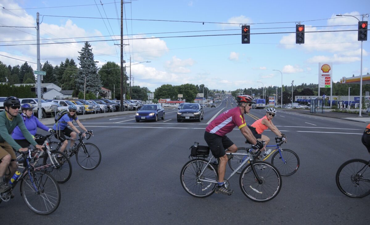
Currently, this section of McLoughlin is a typical ODOT urban highway (99E) with a very wide cross-section, lots of commercial driveways, incomplete sidewalks, unprotected bikeways, relatively high speeds, and an overall feeling that only car users are welcome. We rode briefly on McLoughlin during the 2019 policymakers ride and it was jarring to leave the quiet calm of the Trolley Trail path and enter the loud, stressful highway environment.
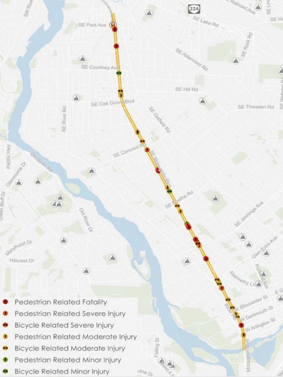
According to ODOT, this corridor of McLoughlin between Sellwood and Oregon City is a top 10 priority statewide and ranks in the 99th percentile for bicycle and pedestrian needs prioritization (as per their Active Transportation Needs Inventory). Between 2016 and 2020 there were a beastly 666 reported crashes — seven of which were fatal and 23 led to severe injuries. And of the seven people killed in those five years, all of them were vulnerable users (walkers, wheelchair users, or bike riders). That’s a striking statistic given how few non-drivers actually use this road. Adding even more urgency to this effort is the fact that neighborhoods along the corridor score in the top 20th percentile statewide for disadvantaged community metrics.
ODOT staff working on the plan say adding more protection to the existing bike lanes and striping new sections of bikeways is definitely on the table. They also recommend bus queue jumps at four intersections, a new crossing specifically for Trolley Trail users (at Jennings Road), and improvements to the bridge over the Clackamas River.
Key to making the safety changes stick will be to tame drivers and lower speeds. The current average speed is just over 40 mph. That’s way too high given that ODOT’s Blueprint for Urban Design (which is now fully integrated into their Highway Design Manual) calls for commercial corridors like this one to have speeds of 30 – 35 mph. The good news is the community advisory committee for the project has been unanimous in calls to reduce speeding, but ODOT needs to hear more support for this in their newly launched online open house.
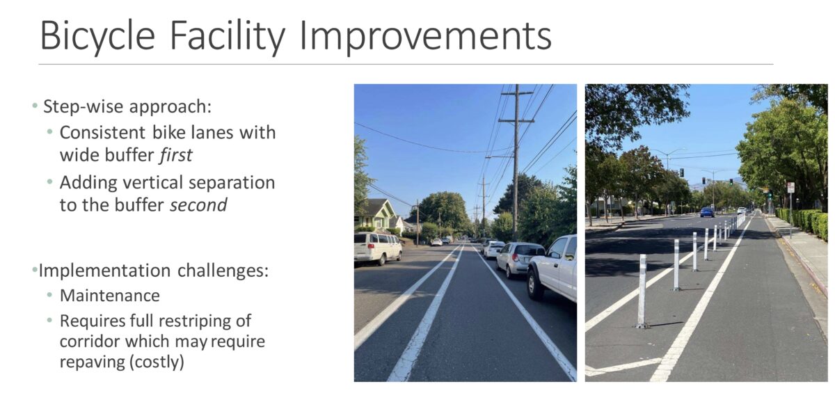
We’re also watching closely to see what type of recommendation comes out of this process for bike facilities. Right now, ODOT says the plan is to first bring the entire corridor up to a basic standard of painted, buffered bike lanes without vertical protection. Once that happens, they’d add more protection (like plastic wands) at specific locations. But some folks we’ve talked to say that second step — some sort of physical protection for the bike lane — should happen without having to wait for buffered bike lanes on the entire corridor.
Then there’s the conversation about whether bicycle riders would even use McLoughlin at all — especially given the nearby (and carfree) Trolley Trail path. Because of the unfortunate idea that bike riders don’t want or need main street access, there could be a lack of urgency from ODOT to create quality bikeways on McLoughlin.
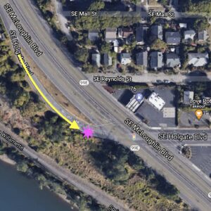
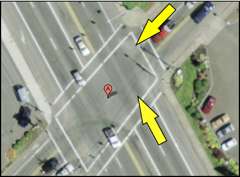
As for the Trolley Trail, the current plan is to install a diagonal, bike-only crossing of McLoughlin at Jennings to help path users make a connection. This would be a step forward from the two-stage crossing most people do now (taking the lane here is pretty scary!).
For the bridge over the Clackamas, ODOT says widening the current path isn’t being considered, but other treatments like; more lighting, a new paved trail/shared use path connection to the intersection of McLoughlin and Arlington Street, and flashing beacons indicating when a bicyclist is sharing the general travel lanes, are being considered.
If we want ODOT to do more of the right things, they need to hear from more bicycle riders. Their online open house is open now through April 5th and there’s an in-person event on March 29th (4-7:00 pm) at Oak Lodge Public Library (16201 SE McLoughlin) where you can learn more and talk to project staff.



Thanks for reading.
BikePortland has served this community with independent community journalism since 2005. We rely on subscriptions from readers like you to survive. Your financial support is vital in keeping this valuable resource alive and well.
Please subscribe today to strengthen and expand our work.
McLoughlin is a really miserable place to be outside of a car. I did a walk down it last summer to Oregon City (because I’m a weirdo) and the stretches without sidewalks are properly scary to walk on. I even saw a handful of people biking to shops, etc. on McLoughlin. I think there is a real need for safe walking, biking, and transit infrastructure. Hoping that they can manage to do stop improvements for the 33 that allow the bus to at least stay in the lanes. I ride the 12/94 down Barbur, and there are so many places where the bike lane actually slows the bus down, since it’s wide enough in places to allow drivers to pass the bus while stopped (in the bike lane). I think the style of stop on Hawthorne (despite not being super awesome) are a good compromise.
I hope the crossing at Jennings includes a better link to the trail itself on the north side too. The first few times I rode down there I could barely find it.
To be fair, it’s a pretty crummy place to be in a car too. Nobody’s happy! There needs to be some separation between thru-travel highway users and local users. Like limited access center lanes with side slip lanes. Could be an opportunity to rethink this stroadiest of stroads but I will not bank on it.
A diagonal bike crossing for the Trolley Trail would be awesome! That’s the worst spot in the entire trail.
I filled out the survey! Only took a minute.
I really don’t want them to settle on those plastic car ticklers as the only thing between people biking and cars. Actual concrete and street trees are needed. The street is plenty wide to fit a 6′ tree strip!
Also, McLoughlin could easily fit protected dutch style intersections in the existing ROW without reducing car lanes. It wouldn’t be hard to do! I really think that protected intersections are more important than protected lanes.
This is good news, but I’m really not holding my breath. Look at how ODOT did on their portion of the Division redesign under 205. PBOT’s portion now has medians to control driver movements, curb-protected bike lanes, a couple of Dutch-style protected intersections, many new crosswalks, bike signals, etc. Then when you ride through the section that ODOT did, they took the opportunity to widen the road, throw down a little bit of paint, widen an exit ramp, and give drivers a few more spots to right hook cyclists as they race on and off the freeway.
Definitely crossing the bridge over the Clackamas is the worst part of the trip. I guess that ODOT will only make improvements to bike infrastructure if those are relatively cheap but don’t mind throwing millions of dollars on car infrastructure expansion.
I ride that stretch of 99E frequently, for a few reasons. The most obvious alternative routes are Oatfield Rd., the Trolley Trail, and River Rd.
Oatfield is not terrible, but it’s often narrow. There are several places between Gladstone and Milwaukee where storm drainage vents force you out into the traffic lane. During the autumn and early winter, leaves and debris can be a real problem. Also, the cross traffic heading from west to east is often cresting a climb at Oatfield, so drivers often pull farther into the intersection before stopping than they might otherwise.
The Trolley trail is a fine recreational corridor, but I don’t like it for commuting, mostly because there are mandatory stops every few hundred yards. A couple of those stops have notoriously bad sight lines, forcing riders to peer around foliage to look for cross traffic. Lighting can be an issue in the deep winter.
River Rd. is the best commuting option. It’s wider than Oatfield and the pavement is in better shape. Leaves and debris are a problem in the autumn and early winter. When roads are slick or the rain is heavy, the relatively steep climbs up to and down from Oak Grove can feel very dangerous.
So when there are leaves and debris, or when you’re looking for the flattest route because of slick conditions, McLoughlin is in my opinion the best commuting option. It definitely has problems, and I’m glad to see that it’s getting some official attention, but it’s a very useful route under some conditions.
I’ll be curious to see where the queue jumps are. Really they should just make full length bus lanes but our various departments are just really resistant to that for some reason. This road has a huge ROW though so a lot of potential!