(Photos © J. Maus/BikePortland)
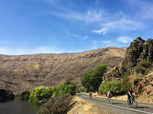
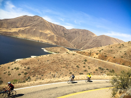
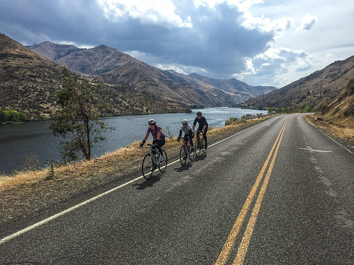
The theme of this year’s Cycle Oregon is “Hell on Wheels.” So, despite the major change in plans I shared last night, today we were given the option of biking into Hells Canyon. So you better believe we took it.
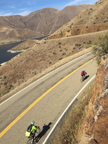
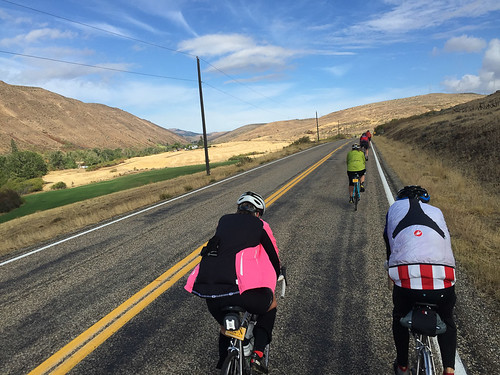
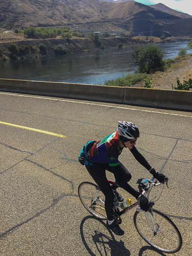
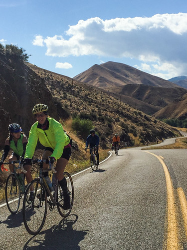
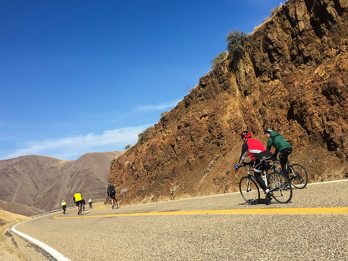
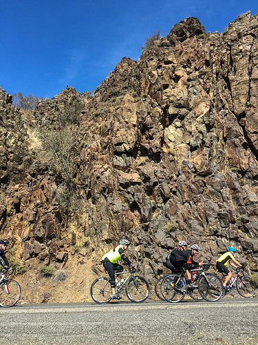
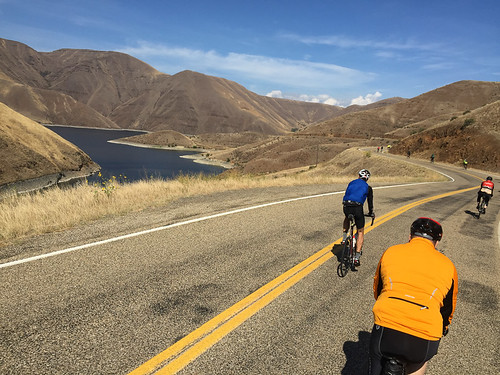
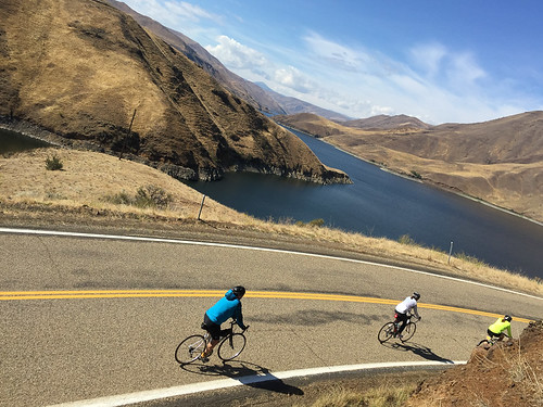
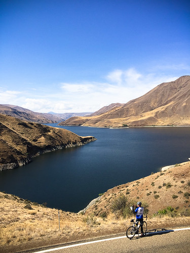
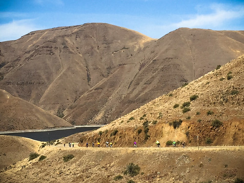
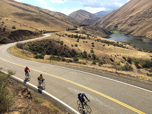
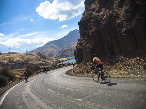
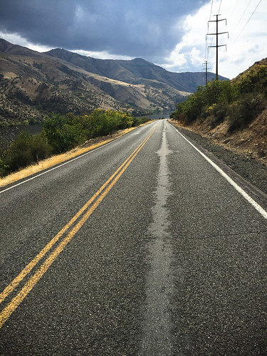
At nearly 8,000 feet from summit to the Snake River, Hells Canyon is the deepest river gorge in North America. We didn’t get into the heart of the canyon today, but we were able to get a taste of its magnificence. We rode from Cambridge, Idaho along Highway 71 down to Oxbow Dam. A total of about 80 miles out-and-back. On our way to Oxbow Dam we rode through the Payette National Forest and cruised high above Brownlee Reservoir.
After getting pounded with rain all night last night (a record amount, according to organizers), the weather down in the canyon was glorious. 75 degrees or so with blue skies and a few high clouds. It was quiet and serene down there. It’s a shame we couldn’t go further into the canyon; but now I have a reason to come back.
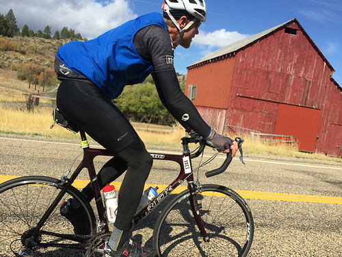
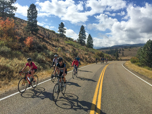
Here’s a bit more of what I saw out there today…
Hope you’ve enjoyed this little slice of Cycle Oregon. Stay tuned for a change of pace with tomorrow’s coverage. Because of the fire and re-route, we’re headed back to Farewell Bend.


Thanks for reading.
BikePortland has served this community with independent community journalism since 2005. We rely on subscriptions from readers like you to survive. Your financial support is vital in keeping this valuable resource alive and well.
Please subscribe today to strengthen and expand our work.
The paved road goes just beyond the northern most dam, Hells Canyon, and there you can see the Snake River at its roaring best. For another day.
What’s sad is that those dams were ever built. They cut off Salmon and Steelhead from the entire upper Snake River drainage.
About how many cars are you seeing on these roads? It looks pretty empty
Pretty darn nice.
All of us regular commenters ought to be spending less time at our monitors and more time riding rural Oregon, Washington and Idaho.
Thanks for the inspiration,
Ted Buehler
I took off the other way and checked out the Weiser River trail, a rails to trails project. Follows the Weiser River for a loong way. I’m a bit anti-uphill, so the railroad grade was perfect. Cattle, quail, bear poop, other general wildlife, and terrific scenery. The only downside (for some) is that it’s not paved. Whatever. It was a glorious layover day!