Even if you carry a smartphone, there are still a few times when paper does some jobs best. One of those times is the middle of a bike trip.
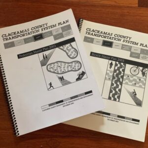
Clackamas County is updating their Bike It! map and has launched a web survey this month to get advice on what the new version should offer.
Last year, we wrote about the county’s virtual open house to gather information about the best routes through the county to bike in. In this related effort, the county is working to figure out how best to convey route and destination information.
Advertisement
The survey isn’t just about paper, since it’ll also inform digital records of the information. It’s available online through March 16. For a paper copy, contact Community Relations Specialist Ellen Rogalin at ellenrog@clackamas.us or 503-742-4274.


Thanks for reading.
BikePortland has served this community with independent community journalism since 2005. We rely on subscriptions from readers like you to survive. Your financial support is vital in keeping this valuable resource alive and well.
Please subscribe today to strengthen and expand our work.
I was very happy and thrilled when I found this map during a bike camping trip. After using it I was also impressed as to its quality, especially as a first version.
Less there is still a place for paper maps: helps groups look at the big picture of the route, and as mentioned a back up for when your phone craps out of power.
The one big thing I would love the County to do AND all the other jurisdictions is to get the flat unfolded maps out to many the places cyclists stop so that they can be framed and placed on a wall or on a kiosk. This helps current and future cyclists. When we camp and ride I always carry extra maps to give to businesses and they are so surprised such a map exists and happy to have one. Plus drivers and other visitors like to use them and perhaps once they know such routes exist then they might bike next time or at least drive-to-expect cyclists on these often narrow and fast rural roads.