Last weekend I had the good fortune to spend a few nights in a friends’ cabin in Rhododendron, a sweet little community about 20 miles toward Mt. Hood from the town of Sandy. I brought my mountain bike along with hopes of riding at Sandy Ridge. I’m not very familiar with biking around Mt. Hood at all, but I managed to discover a nice route from the cabin to the trails and figured it’s worth sharing. The best part is that I was able to completely avoid riding on Highway 26.
This out-and-back begins in Rhododendron. You’ll know you’ve arrived at the starting point when you come to Mt. Hood Foods and the Dairy Queen which are just up from the electronic signboard and the Still Creek Road exit on Highway 26 (map). There are several places to park among the dozen or so eateries and motels. You’ll want to find East Arlie Mitchell Road right at the northwest exit from the Mt. Hood Foods parking lot.
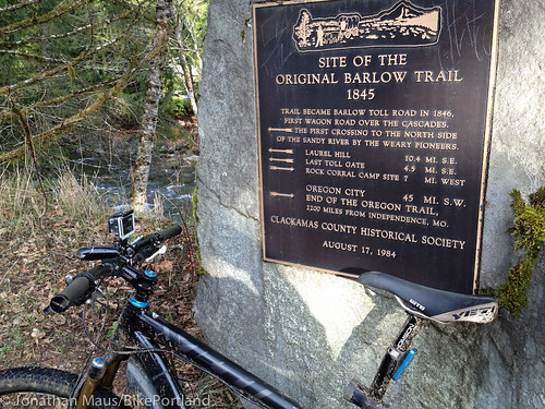
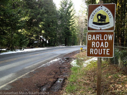
Ride on East Arlie Mitchell for just a few hundred meters then go left on Forest Road 19/Zigzag River Road where Arlie Mitchell turns into East Henry Creek Road. One of the cool features of this ride is that you’ll be traveling along the historic Barlow Road Trail route. You’ll see signs for the route in several spots beginning at Road 19…
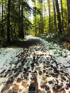
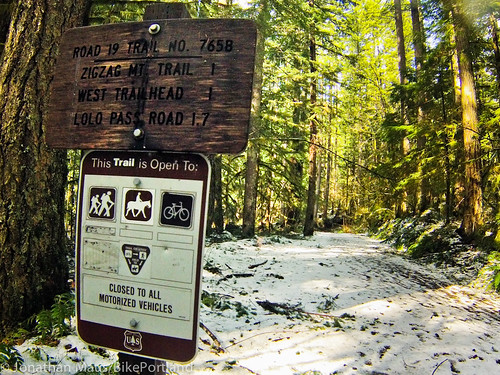
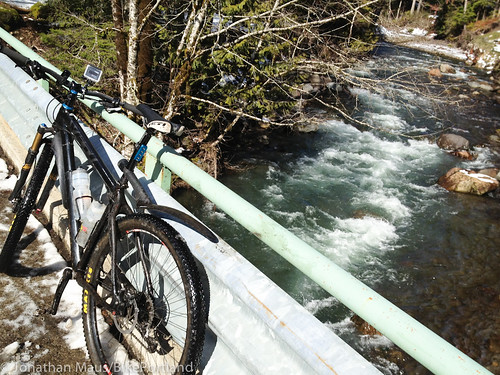
A mile or so northwest (toward Portland) on Road 19 and it will end into a trail. Cars are no longer allowed, but biking is! This is a fun dirt trail that lasts for another mile or so and takes you through beautiful forests and creeks…
Once the trail ends and turns back into a road, you’ll want to take a left (west) onto East Mountain Drive. This road takes you directly to Lolo Pass Road. Go right on Lolo Pass for 0.8 miles and take a left on East Barlow Trail Road (signs to Brightwood)…
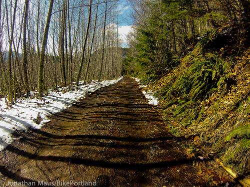
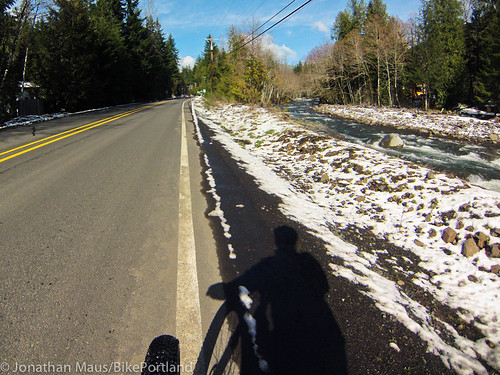
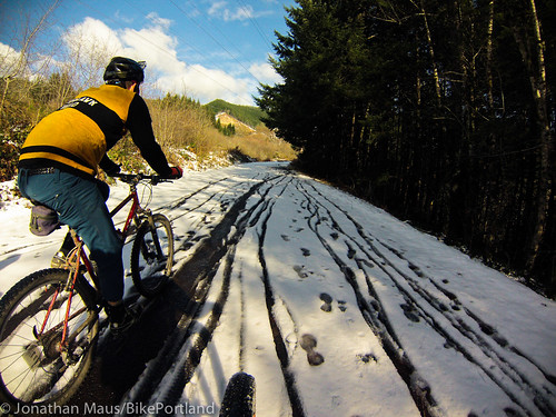
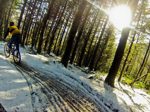
Stay on Barlow Trail Road for about six miles until you reach the Sandy Ridge trailhead sign. From here, you can do any loop or mix of trails in Sandy Ridge that you’d like. Given all the snow on the road, we just road up Homestead Road for a mile or so to the “Hide and Seek Cut-off” trail and came back down.
And for a bonus, I used my new GoPro camera for the first time on the way down. Check out the footage:
For the way back, I just did the route in reverse. I think the total ride was about 22 miles or so. I mapped the route via Ride With GPS if you’d like the specifics. (Please note, since part of the route went on a trail, I wasn’t able to mark the part between Rhododendron and Lolo Pass Road).
I hope others get a chance to enjoy this route. I’ve got a lot more to learn and discover about riding on Mt. Hood and this ride definitely whet my appetite to get up there more often.



Thanks for reading.
BikePortland has served this community with independent community journalism since 2005. We rely on subscriptions from readers like you to survive. Your financial support is vital in keeping this valuable resource alive and well.
Please subscribe today to strengthen and expand our work.
When the snow melts you could link this up with the trail that goes from timberline to Rhododendron, that is a fun one and the only shuttle ride I know of that really is all downhill.
You guys are probably talking about Pioneer Bridal Trail descent that parallels 26 from govy to still creek cg.
It’s not downhill all the way though, there is a short climb on the descent of a couple hundred vertical feet.
a fun loop is to pass Rhody by a few miles and park at the Camp Creek Campground (S side of 26) and do the 20-25/30 mile Hood Loop. It starts as a mile or so of Still Creek singletrack, then you climb the rest of the way on fire road up towards the summit and Trillium lake, behind skibowl (bonus side loop of Eureka peak, extra climbing/views/descent). You pop out on the freeway just past the ODOT station. From there, for the traditional loop route has you crossing the freeway and riding up behind snowsummit to tie into crosstown trails, which you enjoy basically almost all the way back down parallel the highway, and crossing the highway when you’re almost back to the car. But I think now with the addition of the timberline to Govy trail, it’d be even better to climb up to T-line lodge and tack on the Timberline-to-Town (name?) trail as well.
OMG, look at the ruts those cyclists made in the muddy wilderness trail!!!
:-O
The TImberline to Rhododendron Ride is great. I heard a rumor about extending that trail all the way to Portland one day. Does anyone know anything about that?
http://www.barlowtrail.org/
Susan Corwin of this Barlow Trail Association told me their long term goal is build a system of trails from the end of Springwater Trail, all the way to Government Camp, so one could ride their bicycle from downtown Portland all the way to Mt Hood, off road. I am not sure how much progress they have made, but it is quite the lofty goal.
Looks like an AWESOME place to stumble across a rotting decapitated dead alien flail out next to ailing shuttle craft! Alien vs. Bigfoot Pedalpalooza Ride, anyone? Naaaaaaaaaaaaah. NOT a chance. NOT in a million years.
What a difference one week makes! I was up there again yesterday and it was so sunny and warm it was hard to imagine the snow that we had last Sunday. The trails are in great shape and not muddy at all!
This is my neighborhood so some additionals thoughts:
–On weekends I avoid riding on Hwy 26 and Barlow Trail Rd, USFS Rd 19, USFS Rd 20 and 12 along with Pioneer Bridle Trail.
–Rd 19 is signed as E. Mountian Drive on its west end.
–Barlow Trail Road has great pavement.
–If you continue west past Sandy Ridge you hook up with Marmot Rd that can take you to Sandy or Dodge Park.
Whoop, I meant that I avoid Hwy 26 by riding on Barlow Trail, USFS Rd 19, 20, 12 along with Pioneer Bridle Trail.
Well if you enjoyed the trail please vote for Sandy Ridge on Bell Built 100k Grant. Right now we are 35% to 38%. I’m not a fan of Facebook, but if you use it please vote!
https://www.facebook.com/BellBikeHelmets/app_469747409753569