Last week I spent five days taking a closer look at bicycling and bike tourism in Wallowa, Baker, and Union Counties as part of a partnership with Cycle Oregon. Starting in the small town of Halfway on Monday, I rode northeast to circumnavigate the Wallowa Mountains and Eagle Cap Wilderness. I camped, rode rocky dirt roads, did some bushwhacking, sampled singletrack on a mountain bike, rolled on an official State Scenic Bikeway, and met the people working to make this region a biking destination. All this week I’ll share stories and photos from the road.
—
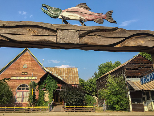
Like many small rural towns, the origin story of Halfway depends on who you ask. Boosters say its was “halfway to Heaven.” Others say the truth is much more prosaic: It was simply halfway between the existing towns of Cornucopia and Pine.
Regardless of history, Halfway is a fine place to start a biking adventure. You can use it as a jumping-off point to a multi-day ride (like I did), or as a basecamp for day rides and larger overnight loops.
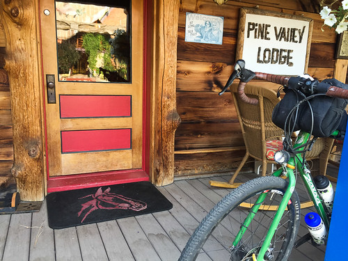
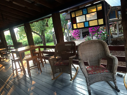
When I showed up on Sunday I checked into the Pine Valley Lodge, a charming and comfortable place right on Halfway’s main street. The only bad thing about the Lodge is that it’s so nice you won’t want to leave. I’m a huge fan of porches and theirs is world-class.
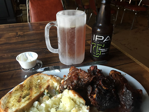
Halfway has a grocery store and a mercantile, so I was able to stock up on supplies. What Halfway doesn’t have is a great place to eat dinner. So, on the recommendation of a nice woman I met at the grocery store, I headed 17 miles east of town to the Hells Canyon Inn in Oxbow (a town named after a big bend in the Snake River). The Hells Canyon Inn is where the locals go. I got the special, ribs and a baked potato. Then I washed it down with an IPA from Terminal Gravity, brewed just over the hill in Enterprise.
The next morning it was time to roll out (after a nice breakfast and conversation with other travelers at the lodge). Much of my loop for the next five days would follow the Hells Canyon Scenic Byway. But, as per usual, my goal was to stay off the actual byway as much as possible by using less frequently traveled backroads. Due to a construction project on National Forest Road 39 — the main road that goes up and over the Wallowa Mountains and into Joseph — I decided to avoid the area completely and take Road 66, or what’s known locally as Fish Lake Road.
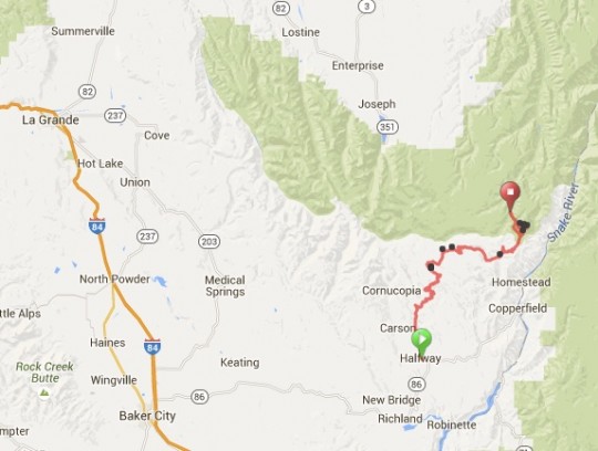
Here’s a map of my route in context with the entire area:
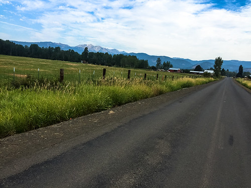
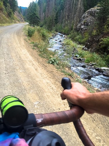
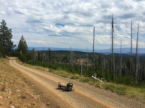
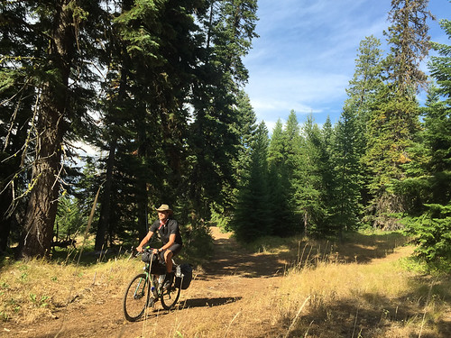
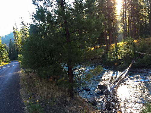
Fish Lake Road is gravel/dirt and it requires a lot more climbing than Road 39; but it’s also quieter and more scenic. After rolling through the valley north of Halfway, the road follows Clear Creek as it climbs into the forest.
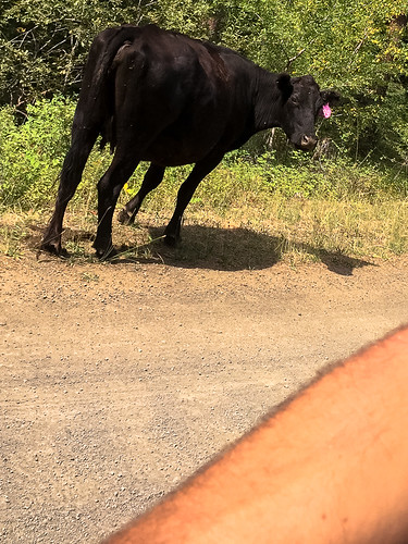
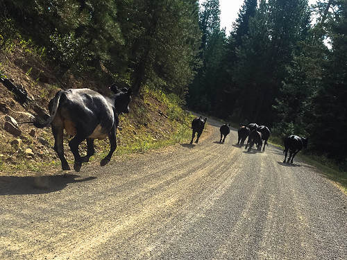
This is open range country, which means seeing small herds of cattle is common. I came across a few that weren’t quite sure how to deal with me (nor I with them). On two separate occasions I got the bovine stare-down as I approached a herd. Then I seemed to spook them and they galloped ahead of me for several minutes before turning off on a side road. It was sort of an uneasy truce and I was glad when it was over.
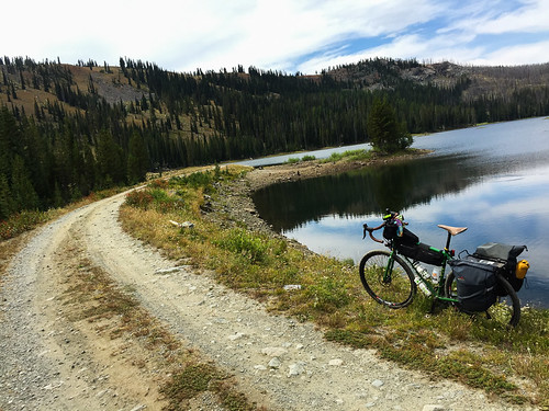
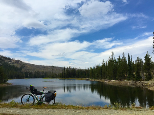
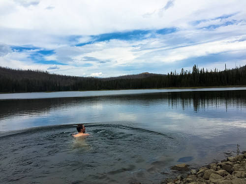
As I climbed higher into the mountains I eventually made it to Fish Lake. The 4,000 feet of climbing from Halfway quickly faded into a distant memory as I enjoyed lunch on the shore then slipped into the cool and refreshing water.
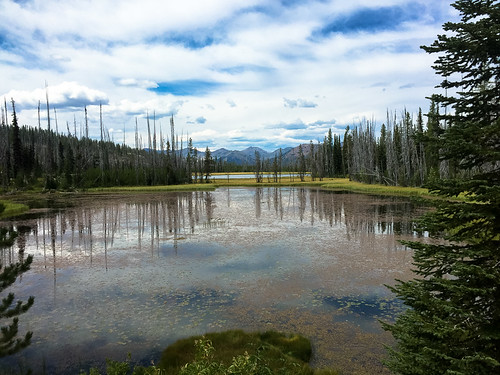
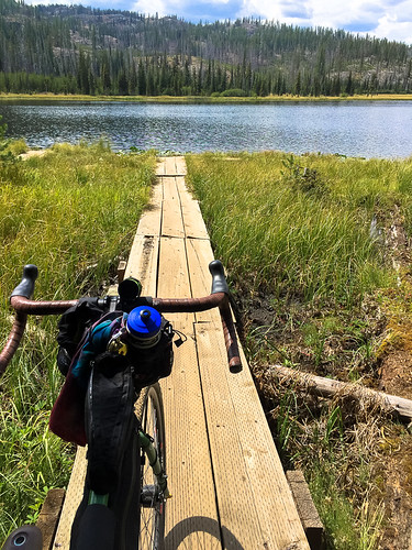
A few miles downhill from Fish Lake is Twin Lakes. They don’t look like much from the road, so I highly recommend taking the road into the campsites to get a closer look. I found a nifty wooden boardwalk/dock that took me right out to the edge of the western-most lake.
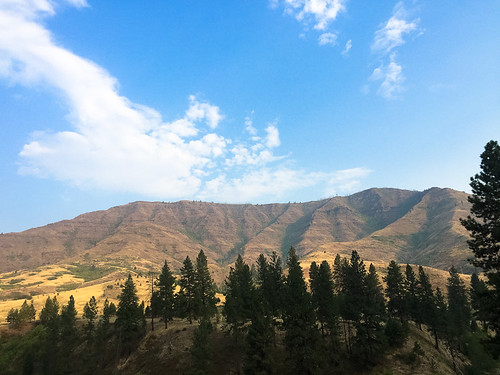
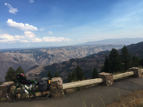
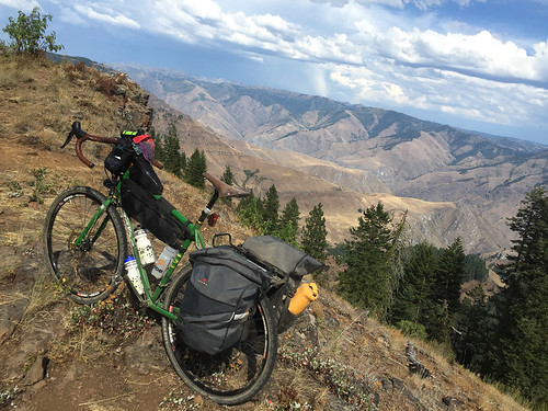
I continued past the lakes (the highest point of the day’s ride at just over 7,000 feet) and eventually came back to Road 39, the official Wallowa Mountain Loop road. After another few miles of climbing, I took the road out to the Hells Canyon Overlook to catch a glimpse at North America’s deepest gorge. At over 7,000 feet from the summit of He Devil to the Snake River, Hells Canyon is a sight to behold. The Overlook gives you a good view, but this canyon deserves a lot more exploration than I gave it on this trip. (Luckily I’ll be back next month for a closer look during Cycle Oregon.)
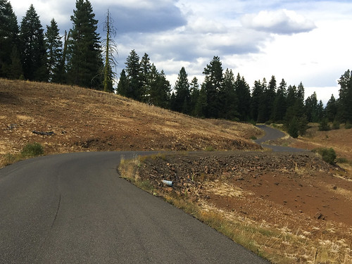
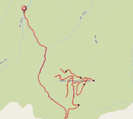
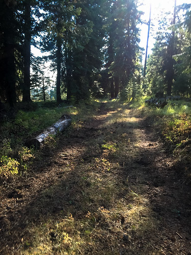
After seeing the view from the overlook, I didn’t want to go back down the main road. I had several hours before sunset and I knew my campsite wasn’t too far away, so I decided to try and find a dirt road that would connect back to Road 39. I tried every gravel road I saw from the Overlook; but each time it eventually turned into nothing. I was disappointed and eventually gave up.
Here’s a map showing my pathetic attempts at finding the route (the red dot is my campsite):
On the bright side, I had fun riding in the dirt and I saw a gorgeous herd of elk and a wild turkey during my explorations! Such are the rewards of getting off the main roads.
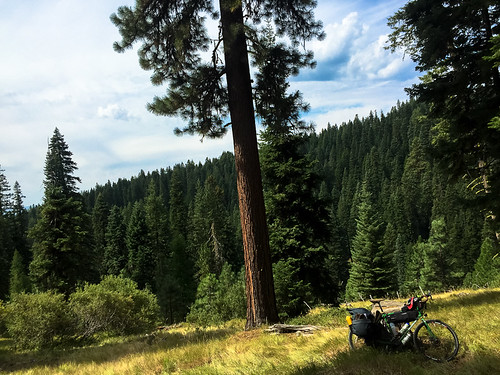
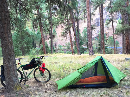
Just past the overlook a few miles up Road 39 lies Ollokot Campground, maintained by the U.S. Forest Service. I found a spot nestled among a pine grove along the Imnaha River and set up camp for the night.
It was a great first day of the trip. From here I pushed up and out of the Wallowa-Whitman National Forest and into Joseph where I met two retired bike loving entrepreneurs who are putting a new spin on rail-trails. Stay tuned for that story coming up next…



Thanks for reading.
BikePortland has served this community with independent community journalism since 2005. We rely on subscriptions from readers like you to survive. Your financial support is vital in keeping this valuable resource alive and well.
Please subscribe today to strengthen and expand our work.
Pretty pics… Any update on the VZ meeting or the Lloyd district article?
working on both ethan. Thanks. variety is the spice of life, no?
It truly is. I would much rather be spicing up my life with some bike riding in Eastern Oregon (or anywhere, for that matter) rather than sitting at my desk.
I haven’t been biking as much lately due to unsafe conditions between my house and my work (I work in the Lloyd District). I actually DROVE yesterday, which is crazy, since I don’t even own a car.
Serious cycling only, AMIRITETHO?
Gorgeous photos! I’d love to do a bike trip like this someday. What do you recommend for people who don’t have the benefit of a car to transport their bikes to the various towns and campsites (other than riding all the way there)?
I wouldn’t be so quick to rule out riding all the way there.
That is what I’ve done.
I appreciate your enthusiasm and encouragement, but I’m not quite ready to bike over the Cascades yet! 🙂
I didn’t think I could either, until I did it.
Two days to Prineville starting from Salem. About five to Troy in the uppermost NE corner of the state. We took along knobby tires for that stretch.
The climb up over Government Camp isn’t bad at all.
Sometimes I take the bus out to Battle Ground and I’m on gravel after 11 miles road riding. A bus out to Estacada can be a good starting point. I took the train up to Seattle this summer. From there you can get on a bus out to Issaquah and be on gravel in no time.
Ellee Thalmeier (sorry, probably butchered her name!)’s Cycling Sojourner book includes public transport info.
Correction, Ellee Thalheimer. Googling was not that hard….
Good question Adam. Hopefully Ellee’s book can help. Don’t have my copy at hand right now. I’m not aware of any public transit to get there from Portland. I’d say you can consider renting a car.. .Or ask a friend to give you a lift!?
Public transit to Bend exists, and that is a good part of the way there. You can load your bike on the shuttle, too. Just be sure to get there with plenty of time in case there end up being more people with bikes than racks. Not sure about the possibilities past Bend. Greyhound of course will also get you to places out East along I-84, but you have to take your bike apart and put it in a box. The MTR/Point/Amtrak buses are more forgiving. On (some of?) those you can just lay your bike down in the carpeted luggage compartments underneath the bus and retrieve it yourself at your destination. I’m not up on their routes out East but that can be determined pretty easily now that we have the internet.
What bus goes to Bend with racks?! I’ve been waiting to find one for years. It’s a shame the Breeze does’t have one.
Here you go: http://oregon-point.com/eastern_point.php
Greyhound only takes 6-1/4 hrs from Portland to Baker City, and there are two schedules/day.
Look on Craigslist for a ride to Boise. Tell them you and your bike want to get off in Baker City.
Ted Buehler
What a fantastic trip. The Wallowas should be experienced by all Oregonians. The nearby Palouse too- though it involves leaving the state 🙂
“The Wallowas should be experienced by all Oregonians.”
Yikes. Four million people traipsing through those tiny hamlets? That would be a nightmare for everyone. Some things are best loved from afar, or you risk loving them to death.
Not all at once, silly! 🙂
Well even one-seventieth (if we interpret the comment to mean once in a lifetime) would be an order of magnitude too much.
57,000/yr riding through Halfway? Forget it.
Yeah, because they wouldn’t appreciated the tourism dollars right?
Tourism is a *very* mixed bag.
An influx of money tends to cause as many or more problems than it solves. Although around these parts we tend to echo the sentiment that more money is always better, that more biking is always better, that more bike-tourism dollars flowing into rural places is by definition a good thing, I wouldn’t be so cocksure.
I’d be curious, Peter R, what you make of this:
http://www.unep.org/resourceefficiency/Business/SectoralActivities/Tourism/FactsandFiguresaboutTourism/ImpactsofTourism/Socio-CulturalImpacts/NegativeSocio-CulturalImpactsFromTourism/tabid/78781/Default.aspx
I think you’re over thinking it. The link you provide seems to talk more about developing countries and tourism. I don’t think Eastern Oregon really falls into that category.
Coming from a state that was highly dependent on tourism for it’s income, I have a much different viewpoint than you.
I also think that most of the “city folk” around here could deal with a good dose of reality about what it’s like to live in the boonies and how wonderful and beautiful these more remote places can be.
We’re not talking about sending people into a designated wilderness in Alaska, Jonathon went to a location accessible by anyone with a little motivation and a sense of adventure.
“Coming from a state that was highly dependent on tourism for it’s income”
That sounds dreadful, and exactly the kind of trouble the UNEP article was talking about: dependency on the vicissitudes of tourism. Never a good thing.
You’re correct that the piece I linked to was focused on international tourism, but I don’t think the negative socio-cultural impacts of tourism enumerated there are easily dismissed as inapplicable here. I wasn’t talking about Jonathan and his three friends trickling through there. I was responding to tedders’ comment.
I like the boonies too, and think city folk’s exposure to other ways of living is, generally, a positive thing. My point was just that there are real costs and downsides to tourism, and we would do well to keep those in mind when making sweeping pronouncements about how everyone should go there.
If everyone—or even one percent of everyone—went there, the place would be ruined, unrecognizable.
Wow! I know this country, just a bit. Enough to be extremely impressed by a run down to the Oxbow for dinner, up to Fish Lake, over to the viewpoint, wandering amongst all the spur roads. I’m hot and tired just reading about it. But jealous. Thanks for this. Lloyd District can wait.
http://portland.craigslist.org/search/rid?query=boise
That ^ was meant to go in the “public transportation from Portland to the Wallowas” thread
Brings back some great memories – I was up in that neck of the woods in June of Last Year doing some work projects for the Forest Service.
Here’s some links to entice you as to the possibilities.
JOSEPH CANYON:
http://usfsnw.zenfolio.com/p777039528
HELLS CANYON OVERLOOK:
http://usfsnw.zenfolio.com/p497630939
JOSEPH & ENTERPRISE:
http://usfsnw.zenfolio.com/p1037104917
STARVATION RIDGE:
http://usfsnw.zenfolio.com/p471150406
Hope you have as much fun as I did Jonathan!
John; Nice touch with the cowboy hat.
ha! This is the first long ride I’ve done with it and I really like it. It’s a fine hat and it keeps the sun off my face. Also think it goes a long way in the communication department with locals and other folks I meet. Much more civilized and easier to relate to than a helmet IMO.
Lovely pictures! Would definitely love to give a trip like this a shot. Thanks for sharing!
State law… Cowboy hat required when herding cows on your bicycle, spurs optional..
Thought this bike looked familiar in the news story… This bike has been Stolen from Alberta st yesterday
He did lock it up… too bad – hope it is found
http://www.katu.com/news/local/Mans-bike-stolen-in-Portland-at-tail-end-of-cross-country-ride-322319622.html
Thanks for the concern Mike, but my bike wasn’t stolen. The one in that news story is also a Salsa with drop bars and similar bags… But that’s a different guy.
You missed Duck Lake…you passed it between Twin Lakes and Road 39. Crystal clear water, warm on the top layer of water, lake is edged with some kind of water plant that is gradually filling in the lake and already has filled in other lakes nearby…even has some carnivorous pitcher plants. One of my favorite lakes for the past 35 years.
Sorry the fires made Cycle Oregon miss Halfway last year.