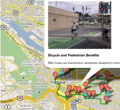
Bike Tour map.
(Larger version below)
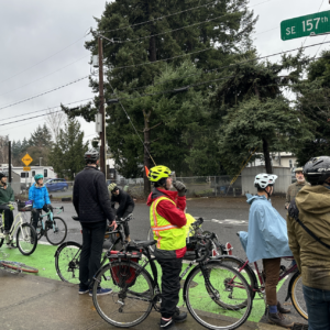
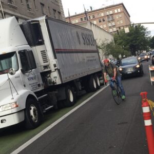
Portland’s bike network is one of the finest in the country. As such, our city regularly plays host to urban planners, engineers, and other wonky folks who want to learn and understand, first-hand, how our bike facilities look and feel.
Usually, these visitors are given a guided tour by a City of Portland employee or by one of our resident bike experts. But now, with the launch of a Virtual Bike Tour, the Institute of Bicycle and Pedestrian Innovation at Portland State University has made it easy for anyone to take an educational tour of Portland’s bikey highlights.
The IBPI turned two in August. Since their inception, the organization has trained hundreds of biking and walking professionals from around the country and has supported leading bicycle researchers like Jennifer Dill (recently featured in a Scientific American article) and Lynn Weigand. Also in August, the IBPI launched the Bicycle & Pedestrian Tour and Learning Center.
The center is an online hub packed with resources about biking and walking in Portland. One of the most exciting features is a Virtual Bike Tour. Based on a Google Map, the tour lists 26 engineering and infrastructure highlights on a short loop through inner Southeast and Northeast Portland.
Each of the highlighted facilities includes a photo, an explanation of its benefits, and contact information for the agency in charge of installing and maintaining it. Check it out below, or go to a larger version at Google Maps.
View IBPI- Bike Tour in a larger map


Thanks for reading.
BikePortland has served this community with independent community journalism since 2005. We rely on subscriptions from readers like you to survive. Your financial support is vital in keeping this valuable resource alive and well.
Please subscribe today to strengthen and expand our work.
I cool idea, but I question how well it was done. The Clinton and 39th stop confuses the two streets throughout the description, even going as far as to say that the bike boxes are for north and south bike traffic, and to call Clinton a “4-lane high traffic volume arterial.” I’m finding it hard to believe that anyone who’s lived in this city more than a month could make that mistake.
Nice!
This topic has been beaten to death, but in reading that blurb about the Hawthorne Bridge, I had forgotten that the bike lanes had been widened fairly recently. It’s a shame that “congestion” there has put some cyclists in danger and made others avoid it entirely. It seems totally adequate to handle the +/- 7,000 daily peds/cyclists as long as everyone uses common sense.
Also the tour is missing the Broadway cycletrack, and the stark and oak buffered bike lanes. Those are the coolest! Maybe the tour was designed before those pieces were built.