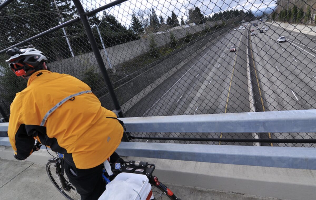

The Portland metro area’s western corridor is due for a revamped active transportation system. This part of the Portland region is a hub for growth and projections indicate it will continue to expand. Without some big changes, the current transportation problems the area faces – a lack of facilities for people biking and walking and related car traffic congestion – will continue to worsen.
The Oregon Department of Transportation’s Urban Mobility Office will aim to address these needs with their Westside Multimodal Improvements Study (the first non-freeway expansion project from the UMO office since it formed in 2020). It’s a collaborative effort with Metro to learn about “the current problems people have traveling by bus, on foot, or with wheels” along the corridor. In a draft report, ODOT and Metro describe the current conditions and say it “experiences significant traffic congestion for vehicles” and “lacks system completeness for bike facilities, sidewalks and trails.”
ODOT and Metro say their guiding values for this study are as follows:
• Develop a set of fair and equitable outcomes.
• Improve access to regionally significant employment, educational, and commercial
centers, including Regional Centers and Town Centers.
• Improve mobility throughout the Westside Corridor for people traveling to work and daily activities, as well as commercial traffic.
• Improve connections for freight, including generators and distribution.
• Support projected household and economic growth in the corridor.
• Support regional and statewide climate goals.
• Support adopted land use plans and goals for the region.
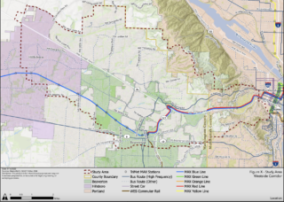
The study area is focused around Highway 26, which runs parallel to the MAX light rail. The majority of the focus area is in Washington County, but it will also look at parts of western Multnomah County including Portland’s Southwest Hills.
Advertisement
There are ways to get to and from central Portland to the west side without a car and many people do it. Combining a trip on the MAX red or blue line with a bike trip can be a good car alternative, popular especially among the Nike set (they built a whole path to accommodate this combo). Other large employers like Intel and Tektronix boast sizable bike commuter numbers.
There are a few nice sections of paths and bike lanes between downtown and Beaverton (and beyond), but not nearly enough to reduce reliance on cars.
“Current multimodal transportation conditions in the Westside Corridor result in an inequitable and environmentally unsustainable system that is overly dependent on personal motor vehicle travel, which results in vehicle congestion and unreliable travel times for people driving and moving freight,” the study’s draft issues and needs report says. “This adversely affects the safety, affordability, and livability of the area and can impede economic competitiveness.”
The steering committee for the Westside Multimodal Improvements Study began meeting last month, and will continue to meet throughout the next year and a half. This committee is made up of local policymakers and agency representatives including Metro President Lynn Peterson, Beaverton Mayor Lacey Beaty, Multnomah County Commissioner Jessica Vega Pederson, and others.
A public survey for this project is set to be released later this summer. If all goes well, we should see an implementation plan as soon as fall 2023.
On a related note, Metro has released a survey for people to identify the projects they want the agency to spend their 2025-2027 Regional Flexible Funds on, and some of the potential projects are located in the western corridor. The survey will be open until June 21 and can be found here.

