
(Photo: J. Maus/BikePortland)
Multnomah County and Metro recently worked together to construct a nice new piece of the 40-Mile Loop on NE Marine Drive in Troutdale. And it’s not the only sign of progress for riding in this area — which happens to be a popular gateway to the Historic Columbia River Highway.

The new path is about a half-mile long. It starts at NW Eastwind Drive and ends at NW Dunbar. The path connects to an existing section of the off-street path that begins in Blue Lake Park about two miles to the west.
I noticed the new path while on a ride last weekend. Before it was put in, this section of Marine Drive bothered me. It’s in a corner where people drive very fast and there are a lot of big trucks around (see before photo below). The bike lane was always strewn with gravel due to a big turnout space adjacent to the road shoulder. Now it’s clean and smooth and separated from drivers via a planted median.

Multnomah County says the project was triggered by a nearby industrial construction project that required the developer to help fund the path.
Advertisement


If you ride in this area, we’ve also got an update on another project that will add several miles of new paths that will allow for a much lower-stress connection between Blue Lake Park and the Sandy River/Historic Highway.
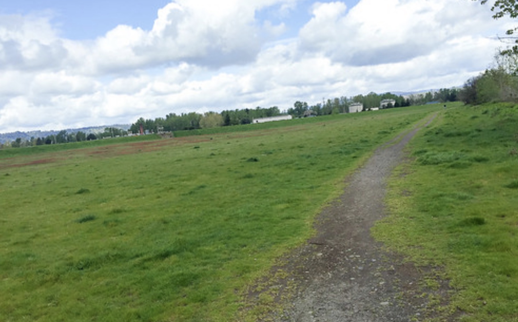
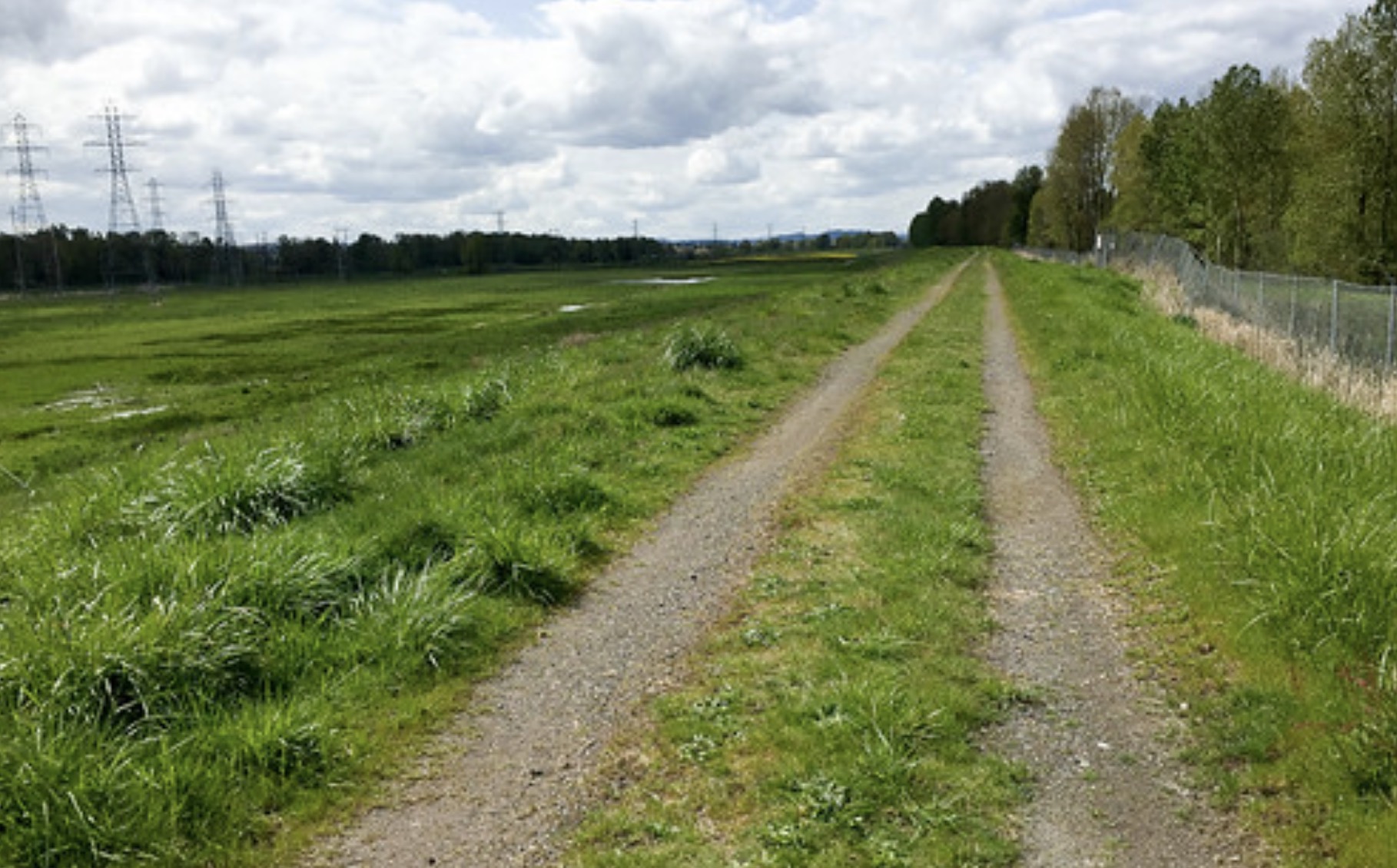
Remember in 2015 when I shared a few unpaved connections between Marine Drive and the Sandy River Delta area that connected directly to the new bike path over the Sandy River? A Port of Portland project to formalize these connections (that I first reported on in August 2016) has moved forward and is scheduled for construction next year.
(Photo: J. Maus/BikePortland)
(Photo: J. Maus/BikePortland)


According to a presentation at the recent Metro Quarterly Trails Forum, the Port of Portland is currently in design phase for the “Fairview Gap” project. They plan to construct a 1.7 mile path that will connect to Marine Drive at Blue Lake Park. They will install a flashing beacon west of NE 223rd Avenue and the new path will follow a currently unpaved levee crossing to Sundial Road. A separate segment will pave 1/3 of a mile north-south along the Sandy River to fill a gap between the existing Reynolds Trail and NE Harlow Road.
Construction on these two segments will start next year.
— Jonathan Maus: (503) 706-8804, @jonathan_maus on Twitter and jonathan@bikeportland.org
Never miss a story. Sign-up for the daily BP Headlines email.
BikePortland needs your support.