(Photos: Naomi Fast)
When I first began riding a bicycle for transportation I focused on things like getting used to car noise, figuring out how to keep the bottom of my pants from ripping on one side, and choosing the best bike bags for my shopping needs.
It wasn’t until moving to the suburbs of Washington County without a car that “open houses” snuck into my consciousness.
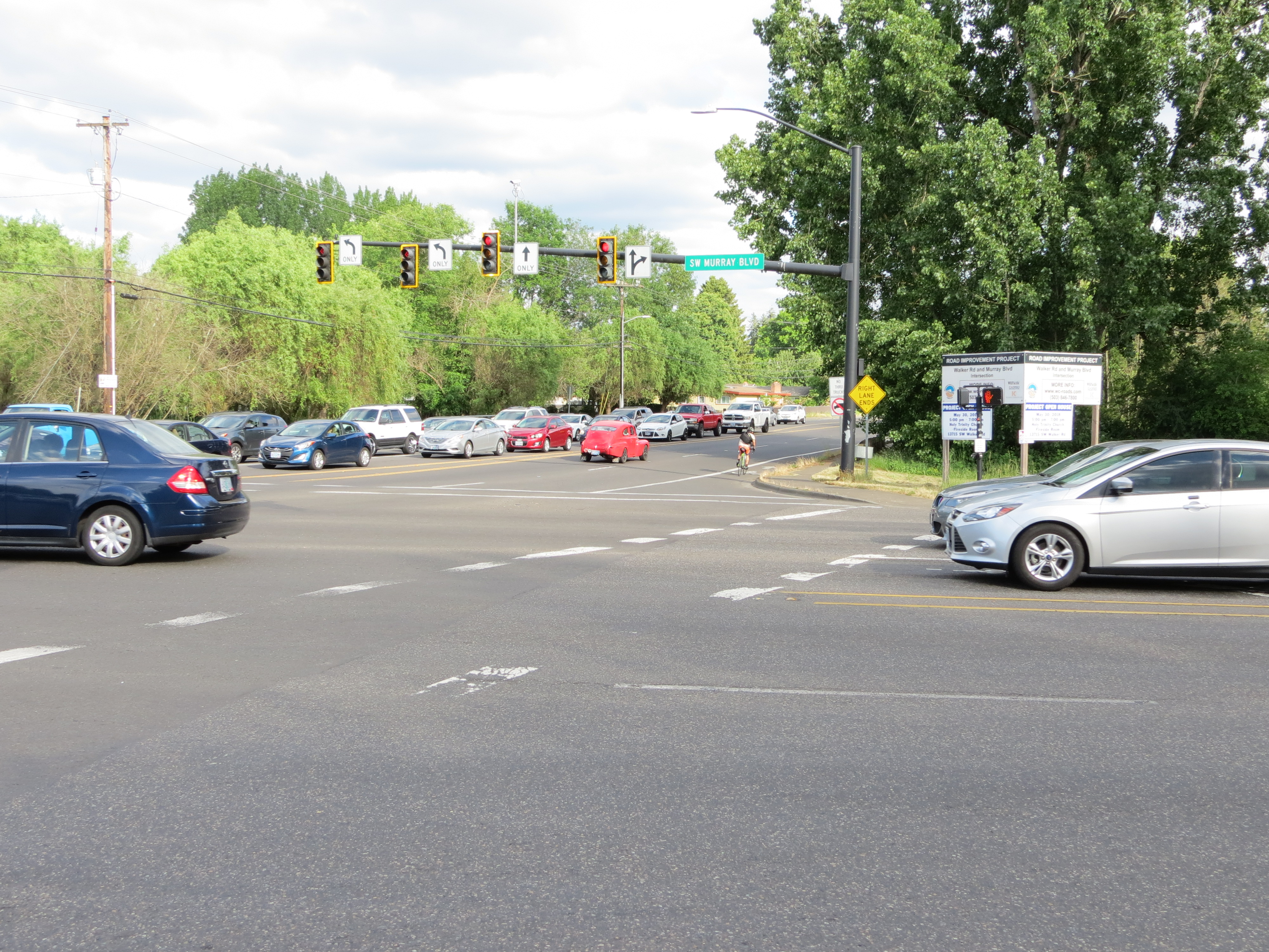
As I reported earlier this month, an open house for updates to Western Avenue is happening today. And tonight (5/30, 5:00 to 7:00 pm at Holy Trinity Parish, 13715 SW Walker Road in Beaverton) there’s another chance for public feedback on another important intersection on the westside, Walker Road and Murray — a.k.a. the Nike World HQ intersection.
In a way, this project fits hand in glove with ODOT’s planned freeway expansions. After all, westside employees don’t all live on the westside. Some commute from Vancouver, Washington, or other cities around the metro area. That’s neither here nor there, unless you’re concerned with air quality and traffic noise if a freeway widening is slated to take place near you.
If you bike to work at Nike, or past Nike, here’s how Washington County’s project page says the intersection will change:
*Dual left-turn car lanes will be at all four approaches to the intersection (currently just on eastbound Walker)
*Dedicated right-turn lanes at all four approaches
*A third southbound through-lane will be added to Murray Blvd, becoming a dedicated right-turn lane at Bowerman Drive (a Nike entrance)
*Two bridges and two culverts will be replaced
The county’s emphasis, it appears, is on carrying out plans to make driving easier.
What improvements will be made for biking, walking, and transit at the intersection?
None.
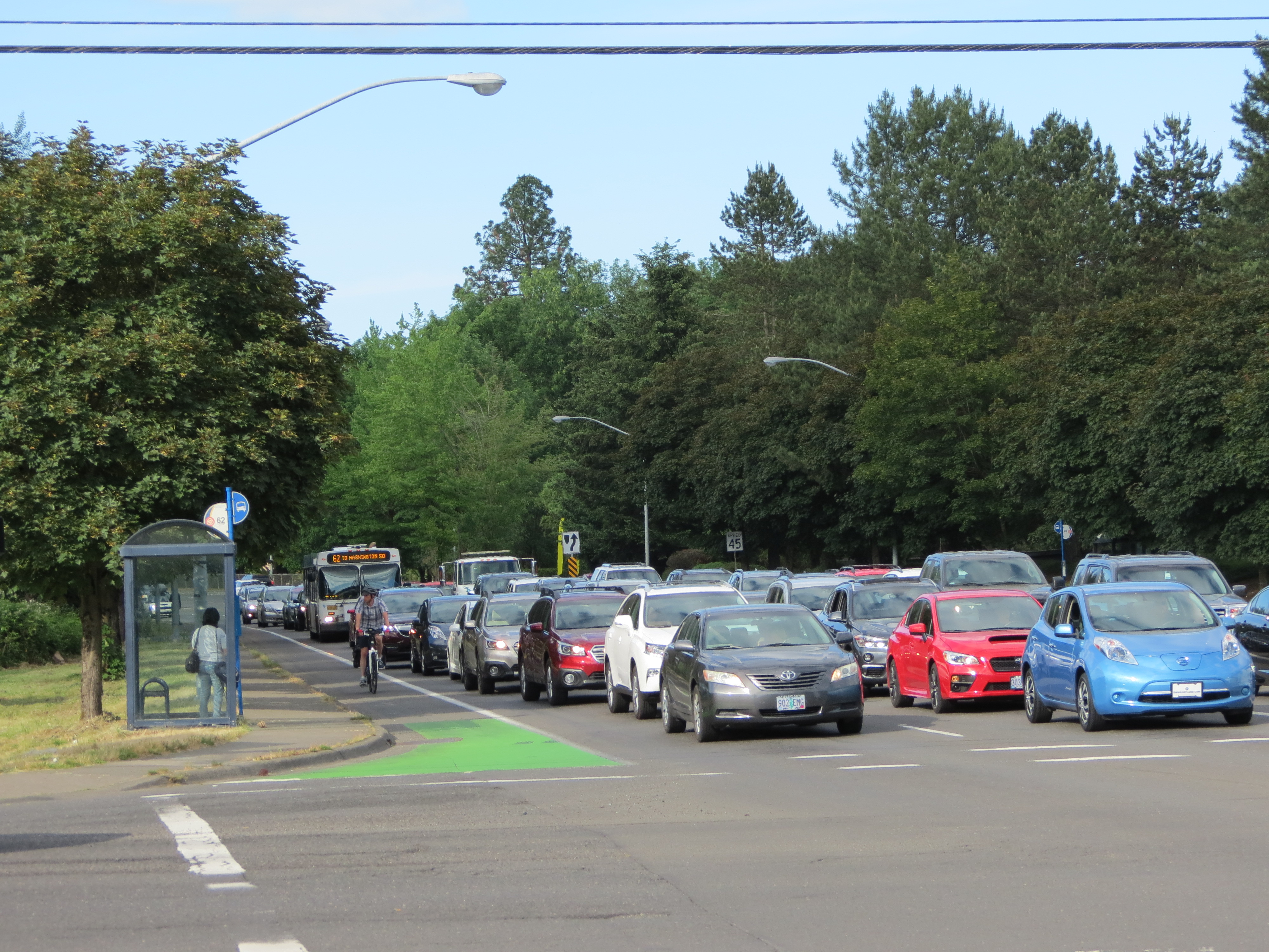
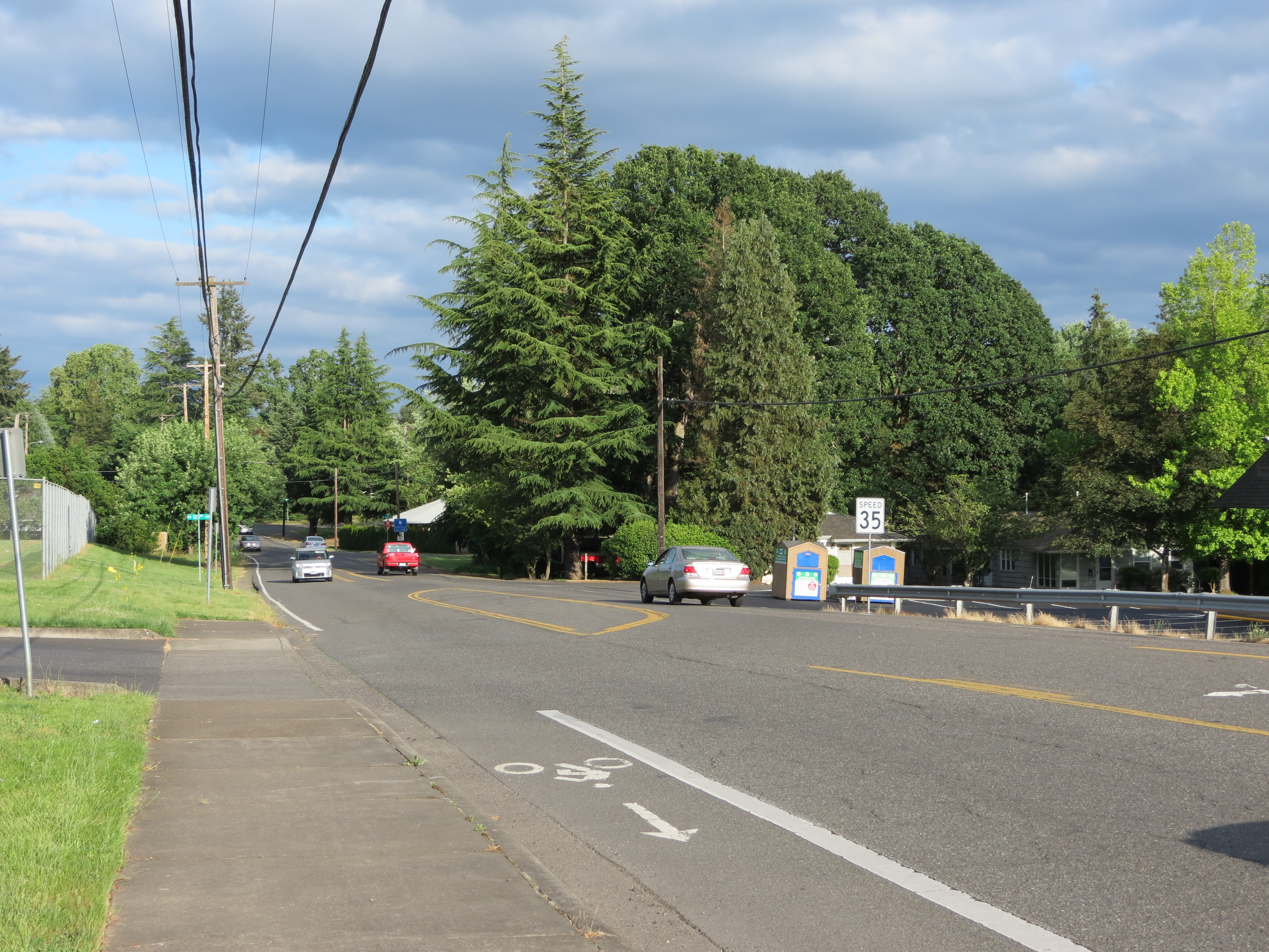
The official project page says, “Walker Road and Murray Boulevard are heavily used arterial roads.” It fails to mention which vehicles people use. In fact, the bike lane is consistently in use by people cycling, and sometimes on skateboards. There is also a bus line on Walker Road past Nike, Line 59, but it only runs once an hour six times per day, and not at all on weekends or holidays. Line 62 on Murray only runs once every half-hour. Plus, there’s no sidewalk between SW Meadow and SW Butner on the north side of Walker.
Walker Road, directly across the street from Nike, from Murray to Koll/SW 150th, happens to be densely populated. The census estimates that in 2017, Washington County had a population of 588,957 with 9% living in poverty (an estimated 13.4% lived in poverty in Beaverton). The area just north of Nike is a mix of Beaverton and Washington County zoning. The county’s zone descriptions (PDF) sheds some light on the number of people who are affected by increased driving along Walker. The area bordering Meadow Park Middle School is zoned “R24,” for residential use with a 19 unit per acre minimum and a maximum density of 24 units per acre.
Advertisement

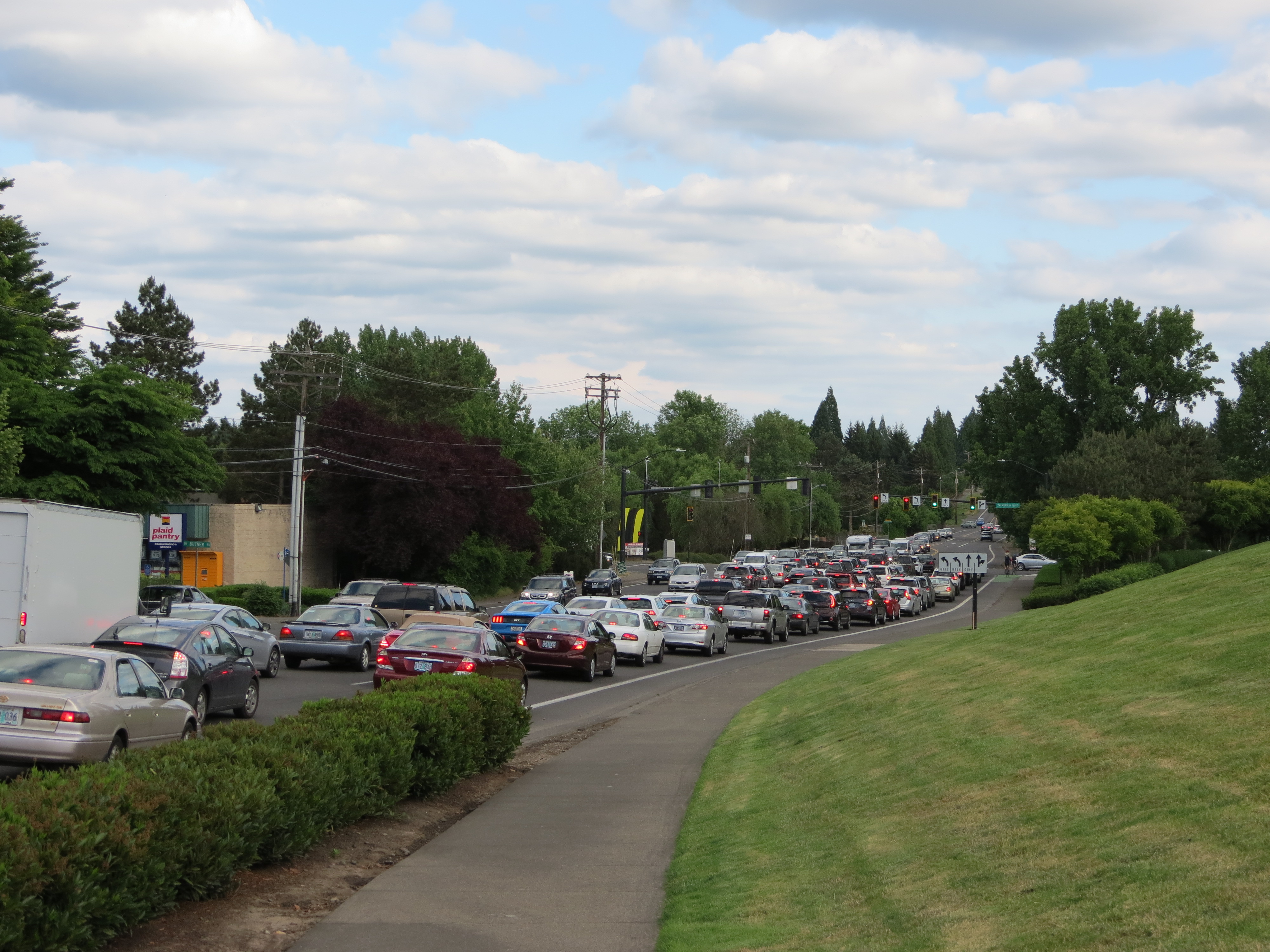
It’s these people, whose property taxes are bundled into rents or paid directly, who are purchasing this $14 million intersection expansion through the county’s road funding program, the Major Streets Transportation Improvement Program (MSTIP). That price tag doesn’t include the $10.2 million for Walker Rd widening.
Residents who live in the area know best, when it comes to the need for complete streets in the area.
Here’s what some of them had to say in a previous public comment period, (as compiled from this Urban Road Maintenance District document — Note in particular the comments about Butner and SW Park Way, which are near the Walker & Murray intersection).
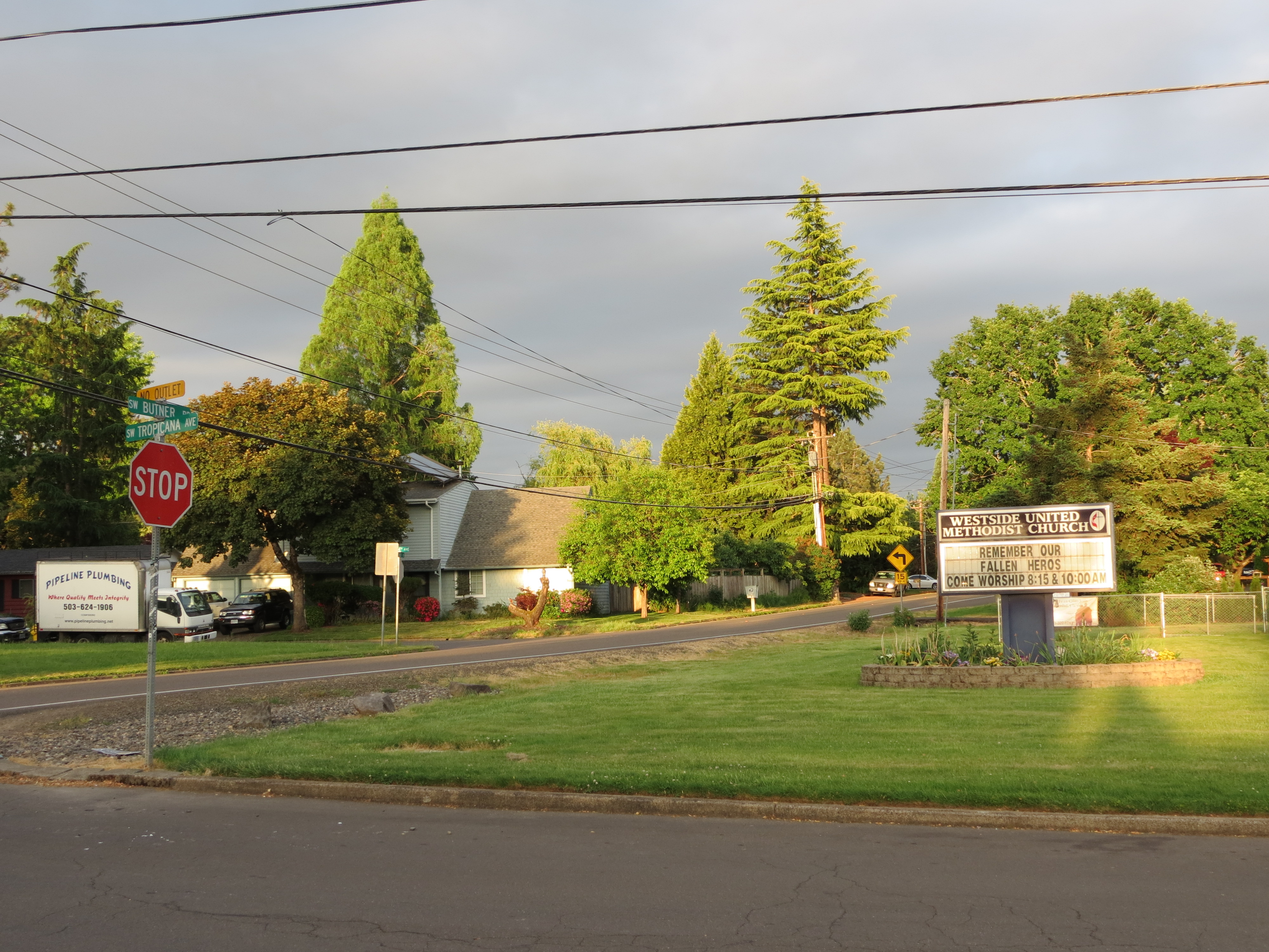
One commenter was concerned about Butner’s proximity to a school,
“Let’s make it safe for active kids; this is a lower-income area so you may get fewer votes online, so don’t let that represent a lesser need.”
Another commenter said,
“This needs to be a safe, 20 mph greenway, not a freeway! This project is greatly needed because it leads to the Sunset Transit Center.”
Another resident said,
“I live down SW Spring and walk regularly to Commonwealth Lake Park on this stretch of Butner where I’m often forced to walk in the road until I can make it to a driveway to shelter from oncoming traffic. I see families with children on bikes, and people walking dogs who are in danger because a significant amount of pedestrians, cyclists, and cars can be in this pinched stretch of road together. This would be a great first step to resolving the dangerous pedestrian situation on Butner.”
Walker Road east of Cedar Hills is also a potential bike route that only the bravest riders are willing to ride. The road has curves that many drivers take quite fast, and there are no bike lanes or sidewalks there. It isn’t terribly surprising that more people aren’t biking to work from these roads, with active transportation infrastructure having been neglected.
The county’s emphasis, it appears, is on carrying out plans to make driving easier.
As recently as this year, a less bike-friendly Walker road intersection was formed where the entrance to one of Nike’s new parking garages at Koll/SW 150th and Walker was closed to public use. When the building Yakima Racks once occupied was torn down, Koll was closed to the public. Prior to 2017, the public could reach the Merlo MAX stop by biking down low-car Koll to Jay street, to SW 158th. Now, people coming from, say, Meadow Ridge Apartments, must bike west on Walker, then make a left turn at the intersection of Walker & 158th. For some this left turn is easy; for others, it isn’t.
Further west on Walker toward SW 158th is the 92-acre THPRD Howard M. Terpenning Recreaction Complex, which is heavily used all year long for everything from baseball to swimming to soccer. Continue west on Walker, and there are more apartment complexes, restaurants, and a Fred Meyer store.
The Trimet MAX line is just a mile south of Walker. The Nike campus sits between Walker road residents and the nearest stations, making the MAX stop a good mile-and-a-half away. With a bus that only goes by 30 times per direction for the entire week, the primary connections to MAX for car-free residents are by walking or biking.
If only the County would cater to them a bit more they might not need to keep throwing millions at more lanes for driving.
— Naomi Fast, @_the_clearing on Twitter
Never miss a story. Sign-up for the daily BP Headlines email.
BikePortland needs your support.