(Photo: Lisa Caballero/BikePortland)
This article was written by our SW Correspondent Lisa Caballero.
The SW Trails community organization has an ambitious vision to build a family-friendly bicycle and pedestrian trail along the old Red Electric railroad route between Beaverton and the South Waterfront. I’m particularly interested in the east end of the route as a safe alternative to Barbur Blvd, so last month I met the organization’s founder, Don Baack, for a what turned out to be a very educational walk.

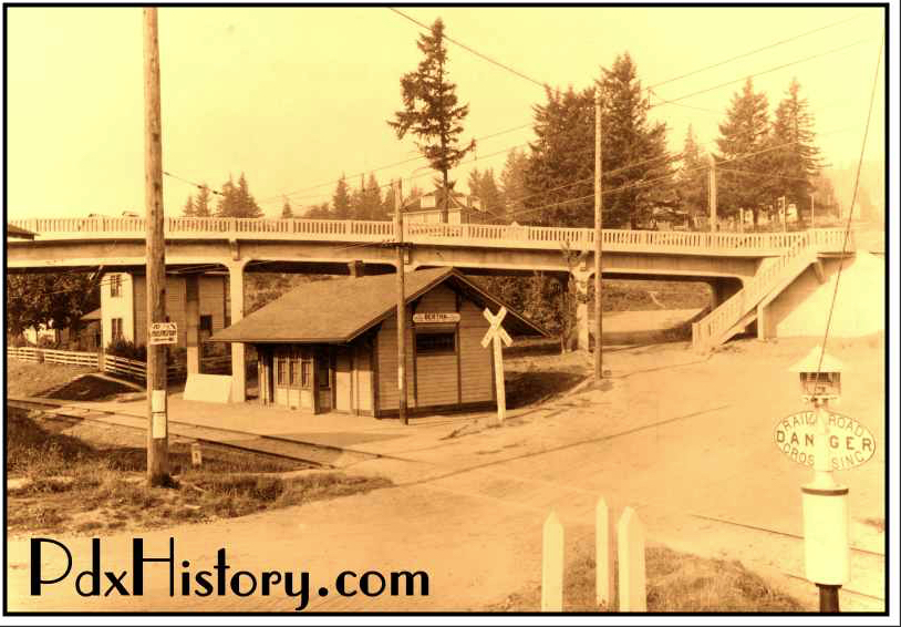
For fifteen years, between 1914-1929, the West Side Line of the Red Electric train ran from Portland’s Union Station south along Fourth Avenue and Barbur Boulevard. It turned off Barbur onto what is now SW Bertha Boulevard to arrive at this little station stop in Hillsdale. The bridge in the background was for Slavin Road, now SW Capitol Highway, and if you sit on the deck of Sasquatch Brewery you can almost touch the balustrade.
From Hillsdale, the train continued to Garden Home, Beaverton, Hillsboro, Forest Grove and then down to McMinnville and Corvallis.

Baack pointed out places along the western half of the proposed Red Electric Trail where one can still see the train’s berms and roadbeds. (SW Trails also has an annotated ArcGIS map to help you on your own self-guided tour.) But as you move east, there are big gaps in the trail because Barbur and Bertha Boulevards were built on top of the Red Electric right-of-way, and these are the type of busy roadways SW Trails avoids. The challenge for SW Trails was to find a less stressful route which followed the same alignment. Moreover, car traffic wasn’t their only problem, there is a 500-foot change in elevation between Hillsdale and the banks of the Willamette, and the train had already claimed the gentlest route.

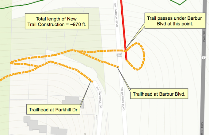
Their solution was to diverge from the train at Rieke Elementary School and cut across George Himes park. At the park, people on foot and bike would take different paths through the ravine to cross under Barbur Blvd. For bike riders, SW Trails wants to build a long 10% grade switchback, which would pass just under the south end of the Newbury bridge and then loop up to the northbound lane of Barbur to cross the ravine on the bridge with the cars.

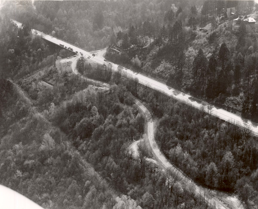
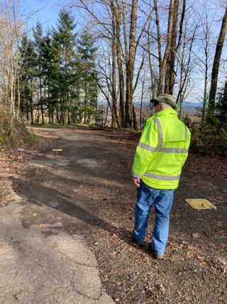
At the Capitol Highway flyover, the Red Electric Trail would join the defunct Slavin Rd. Currently this is a 700-foot unimproved trail which needs work to connect to the existing northern end of Slavin Rd, and onto SW Corbett Ave. The riders would then head north on Corbett to the Hooley Pedestrian Bridge at Gibbs, cross I-5, and take an elevator down to the transportation hub of the South Waterfront, where you will find the Go By Bike repair shop and valet parking, the tram to OHSU, the Portland Streetcar, more trails, and buses.
I asked Baack what it would take to complete the eastern end of the Red Electric Trail. He said that part of the difficulty in moving the project forward is that it isn’t “owned” by any single bureau or department, that it crosses multiple silos: the switchback through George Himes Park runs through Portland Parks land; crossing under and joining the Newbury bridge touches the Trimet SW Corridor plans; ODOT owns the land east of Barbur where Slavin Road needs to be improved. The only group that keeps pushing the project forward is SW Trails. Baack pointed out to me that TriMet’s plans for the rebuilt Newbury bridge portion of SW Corridor light rail did not include a ramp to enter the roadway for cyclists using a future Red Electric trail.

But Baack and SW Trails persist. This spring PBOT will build a bridge over the ravine just south of Beaverton-Hillsdale Highway, near the old Hillsdale station of the Red Electric. And they have City Council approval for their switchback in George Himes park. Baack has been working on the Red Electric Project for 20 years, and while we walked the remnants of the old Slavin Road, he told me that several of the original advocates he worked with have passed away. It would be so nice if someone in city government, or a bureau, or a wealthy person, could just give the Red Electric Trail the final push it needs to make the dream a reality.

I want to acknowledge a couple of websites powered by citizen-historians that made researching this article possible for me. Thank you to Mark Moore at PDXHistory and whoever “Timleyman” is at the Multnomah Historical Association. SW Trails is also a good source for historical information and guides.
— Lisa Caballero, lisacaballero853@gmail.com
— Get our headlines delivered to your inbox.
— Support this independent community media outlet with a one-time contribution or monthly subscription.
