
(Images from a city engineer’s design dated April 2015)
Well, this would definitely be odd if it happened.
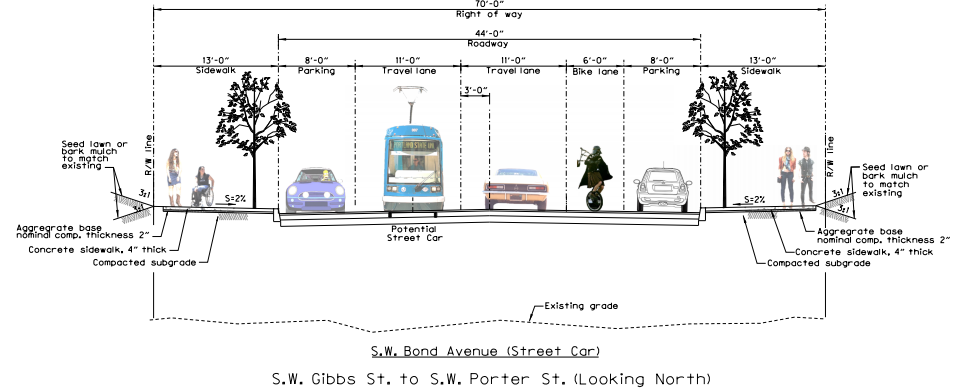
Despite a continuing gusher of evidence that adding some sort of vertical separation to bike lanes makes them much better at getting people to actually ride bicycles, the City of Portland was, as recently as April, drawing up “preliminary” plans for an entirely new street in the South Waterfront that had a bike lane painted into the door zone of a road bed.
Two days after we emailed him about the plans, city spokesman Dylan Rivera said the sketch (which is dated May 5, 2015 and lists April 2015 as its “date approved”) was “per the 2009 city council approved street plan for the area” and that “we are considering other options.”
The street in question is Southwest Bond, and it’s supposed to create a new weaving direct connection between the South Waterfront’s currently developed residential area, through the yet-to-be-developed Zidell shipyards and into the Riverplace area just north of the Marquam Bridge.
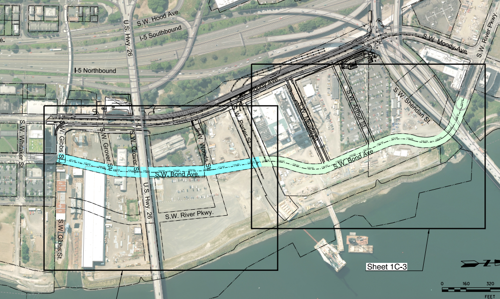
Once it’s built, Bond will also create the first major intersection on the west landing of the new Tilikum Crossing, so it’s likely to attract plenty of north-south bike traffic connecting to the bridge.
Advertisement
Another oddity about the April design for Bond: it would have apparently offered southbound bike traffic a choice between either a general travel lane or a sidewalk.
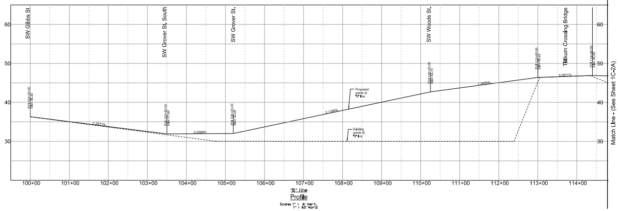
All of this wouldn’t be a big deal if not for the fact that the street is being built completely from scratch. So there’s almost no cost difference between a raised bike lane and one in the road bed. There isn’t even any topographic constraint; the plan hammered out by property owners and the city is to bury the entire area in soil and concrete, creating an entirely new slope, as shown here:
The only real obstacle to including state-of-the-art bike lanes in this future dense urban area is the amount of road width required.
Even more than the nearby Southwest Moody Avenue, Bond offers a rare opportunity to build a street completely from scratch in the middle of a metro area. Since the South Waterfront would have to put a third or more of its trips on bicycles for the city to achieve its transportation goals — and since the neighborhood is probably always going to be annoying to get to in a car no matter what — we’re eager to see how the city weighs these issues as it considers its forthcoming “other options” for the street.
“The preliminary design you have found implements the 2009 street plan for the area, which was approved by City Council after substantial public involvement,” Rivera said. “Six years later, now that the area is closer to redevelopment, we are looking at more detailed designs and trying to take into account the latest best practices for safe access for all road users. We’re not ready to discuss a timeframe for potential refinements, but can keep you posted when we know more.”