(Photos: J. Maus/BikePortland)
We’ve sung the praises of Stub Stewart State Park on this site several times in the past. It’s not only a great bike-camping destination from Portland (a MAX ride will put you about 13 miles away from a carfree path that leads to the park entrance), it also makes a perfect base camp for miles of excellent roads and trails.
While the Northwest Trail Alliance and Westside Trail Federation have done amazing work on the singletrack trails inside the park, there’s also a trove of unpaved (a.k.a. gravel) roads just outside of it. I camped at Stub Stewart with a few other families over the Fourth of July weekend. On one of the days I led a few friends on a route that explored some of the best roads Columbia County has to offer.
The route features a bit of singletrack (up and down), memorable vistas of the Coast and Cascade ranges, carfree paths (both paved and unpaved), and even a few lakes few people have ever heard about. It’s a loop you should definitely put on your list.
We began the day with a trail climb up to the Unfit Settlement viewpoint, the highest spot in Stub Stewart State Park at 1,500 feet above sea level. From there we left the park and entered the realm of the local logging industry via Hoffman Road. Hoffman (named after Peter Hoffman who owned a nearby sawmill in the early 1900s) is a major artery for loggers, and because it’s relatively narrow and steep I only recommend riding it on the weekends.
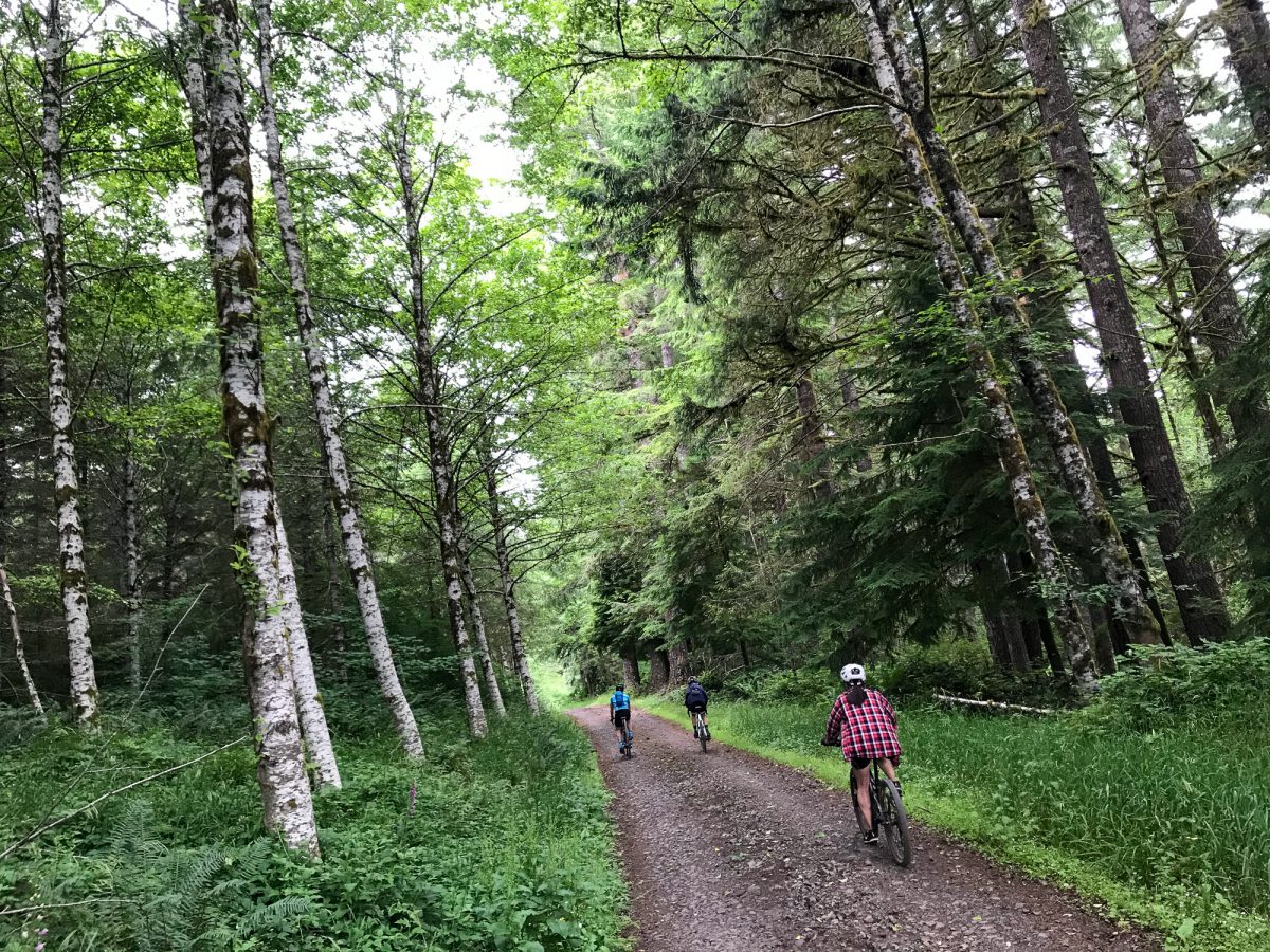

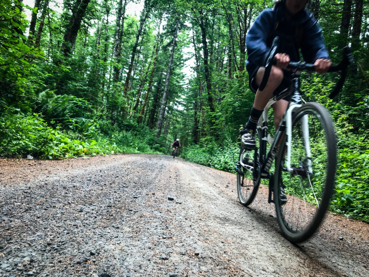
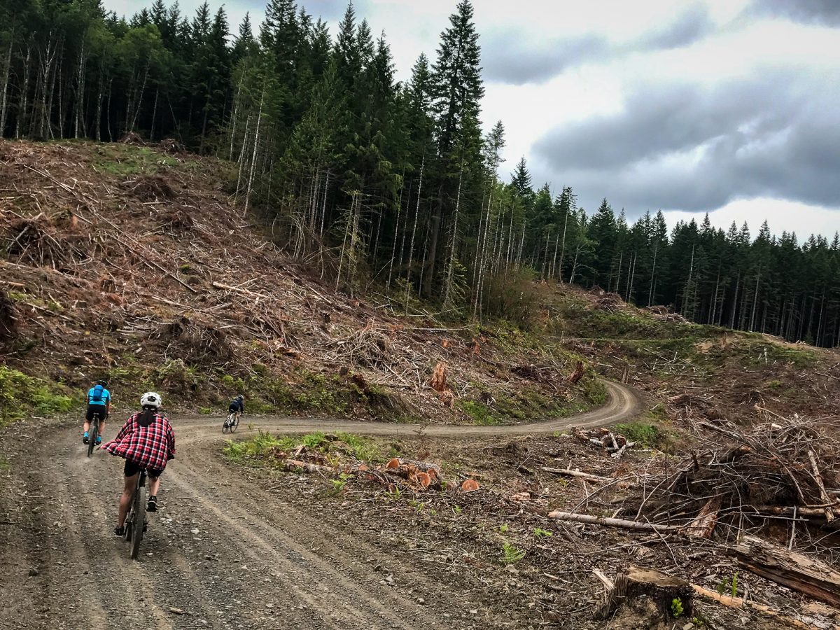
We pedaled around Hoffman Hill and soon made our way onto Bacona Road, the main spine road that reaches 2,000 feet at its highest point and winds along an east-west ridge. Stay on it long enough and you’ll reach Scappoose to the east or it can drop you back down to the Banks-Vernonia State Trail (BV) to the west. The road is named after the old town of Bacona, where the area’s first post office was established in 1887.
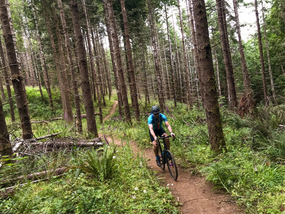
The roads took us through a mix of clear-cuts where view opens up wide and thick forests where ferns, firs and alder groves towered overhead. It was a wonderful surprise to see so many wildflowers in bloom!
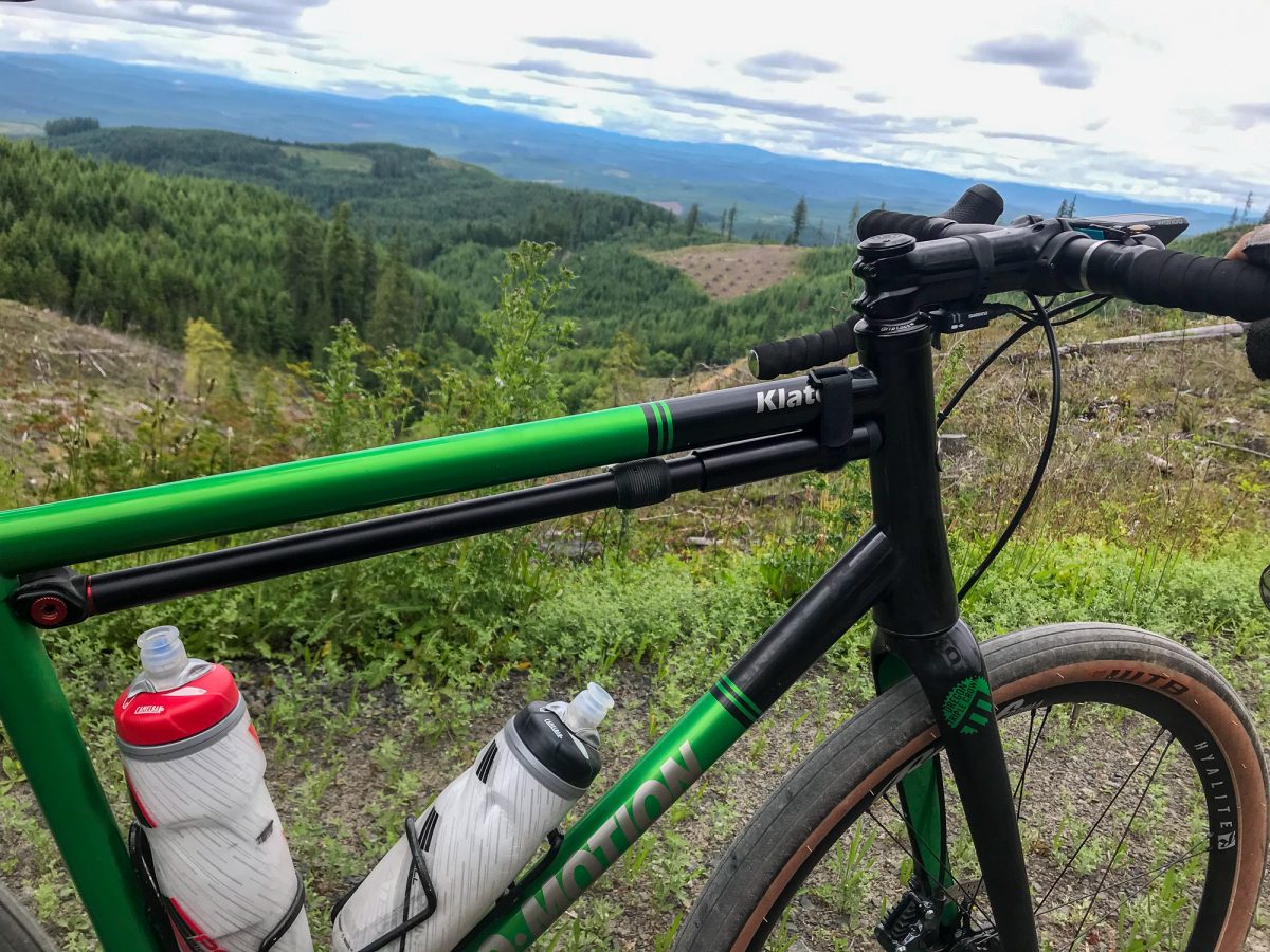
Road conditions started as annoyingly loose gravel (small, sharp and loose rocks) that gave way to the more interesting sort marked by larger, embedded and chunky rocks. There’s a good stretch where big tires (40 to 50mm) are a good idea. I’ve flatted up there many times in the past riding 38s and 40s. But on this day I was using a set of 650b Rolf Prima Hyalite wheels with 47mm wide tires, and it was the most fun I’ve had. I could pedal hard through the biggest rocks and rip up-and-down the rollers with carefree abandon!
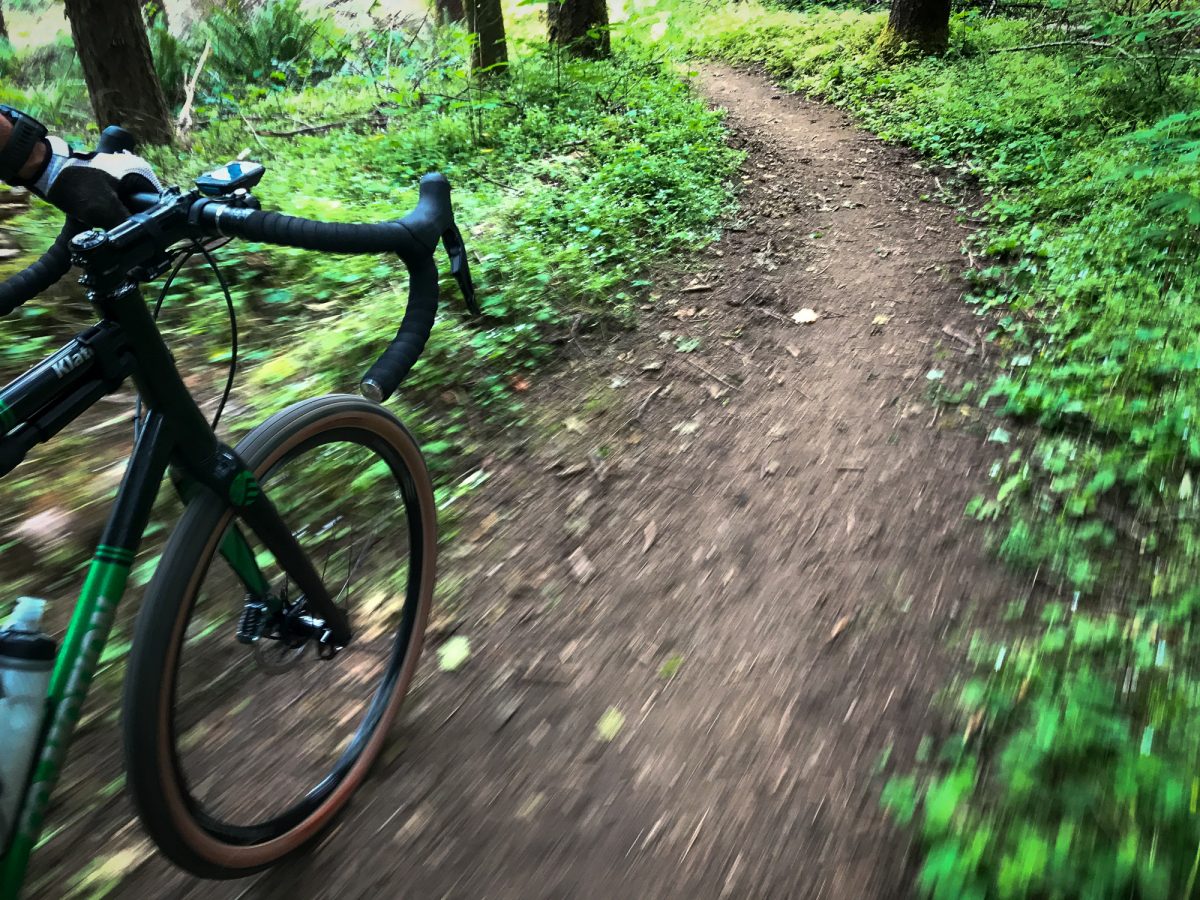


After about seven miles on Bacona Road we headed north and dropped steeply down Pisgah Lookout Road. Our destination were Gunners Lakes, a place I’d discovered by accident a few years ago.
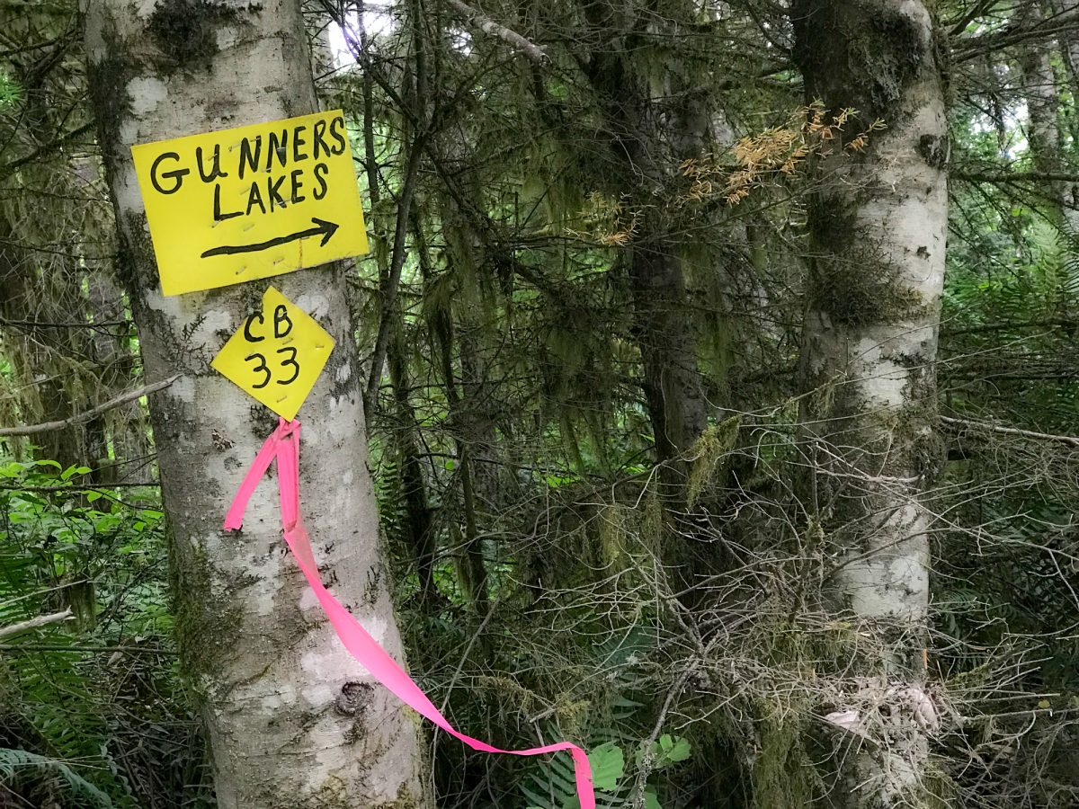
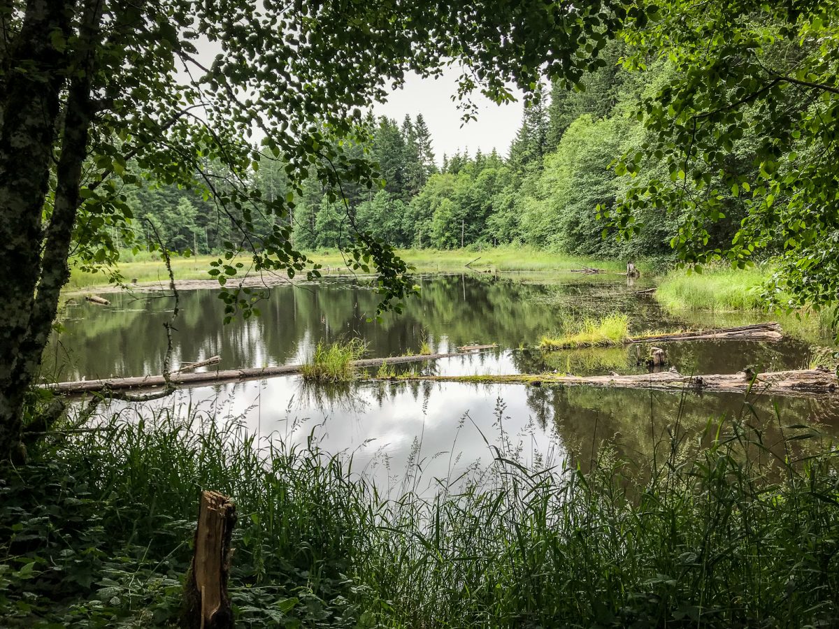
A relatively easy drive from St. Helens and Scappoose, Gunners Lakes are small and undeveloped. That’s probably why you don’t hear much about them unless you’re into birding, geocaching, or fishing. The name is plural because there are three lakes connected by marshy swamps. One friend of mine who grew up in the area said she thinks loggers might have created the lakes to store water in case the area was threatened by forest fire.
Advertisement
We snacked on the shore of the largest lake — or as close as we could get to it. We feasted on jerky, fruit, and energy bars in a turnout before heading back to out to the main road.
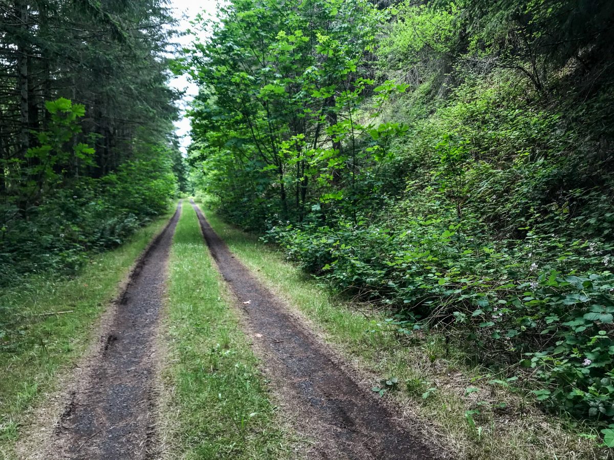
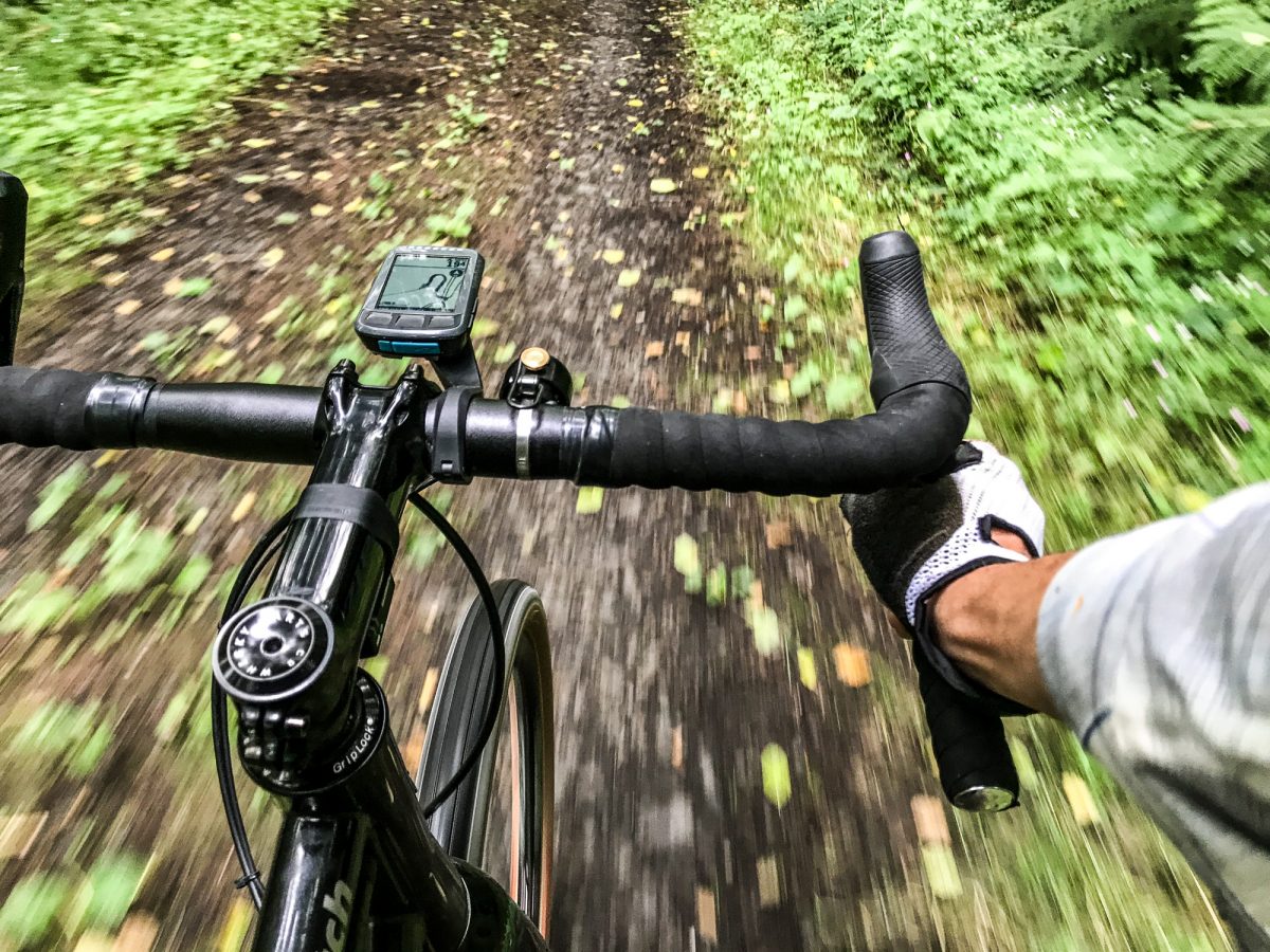
Instead of heading directly east through roads I don’t have 100% faith in, I decided to head down to Scappoose-Vernonia Highway and get onto the reliable Crown-Zellerbach Trail. Similar to the BV except without the pavement, the CZ is a rail-to-trail that goes from Scappoose to the Nehalem River just outside Vernonia. Pisgah Lookout Road connects to the CZ at its high point so we got to enjoy about six miles of perfect downhill as we barreled westward toward Vernonia.

The only bummer on this route was the four mile stretch on Highway 47 from Pittsburg to Vernonia Lake. This well-known gap between the CZ and the BV is so unfortunate. It’s not terrible if you’re a confident rider, but there’s very little shoulder and people in cars aren’t always as courteous or careful as they should be. I can’t wait until this gap is closed with a carfree path so we can ride between Scapppoose and Banks worry-free. The good news is I hear folks are already working to make that happen.
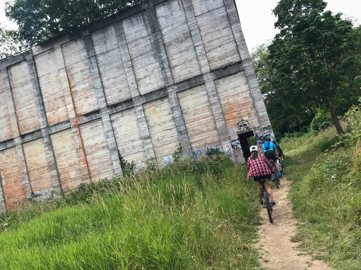
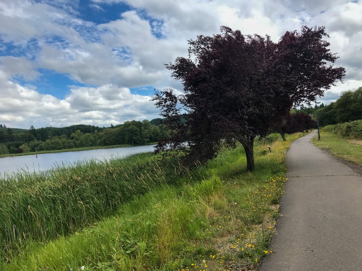
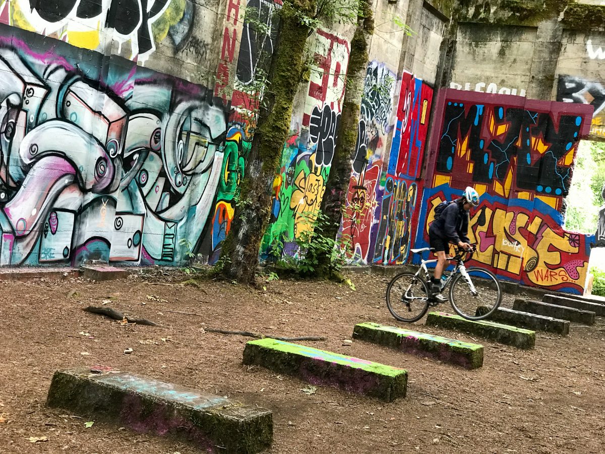
Vernonia Lake was a highlight of the trip, as was the infamous graffiti-strewn walls inside the old sawmill fuel building. From the lake we picked up the BV and had a pleasant ride back to camp. In a last second fit of friskiness, I suggested a route change: Back up Hoffman Road so we could ride the Unfit Settlement View and Hares Canyon singletrack trails back into camp.
It was the perfect way to end a very rewarding ride. In the end, we tallied a total of 42 miles and 3,500 feet of climbing. I highly recommend this route!
Here’s a quick look at the gear I used…
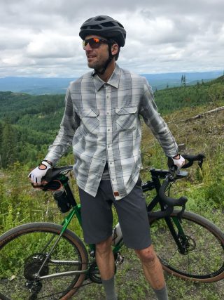
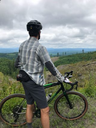
My Eugene-made Co-Motion Klatch with 650b Rolf Prima wheels was a perfect tool for the job:
Have you heard of Kitsbow? They make very nice riding apparel that doesn’t look like riding apparel. Their new Backforty shirt and Lightweight Haskell shorts were very comfortable and functional. It was a bit cool at times and I could snap/unsnap the grippy buttons with and pull the sleeves up and down with one hand. The fabric is super soft, lightweight, and full of ventilation. The shorts have all types of stretch and I slipped my camera in and out of the front pocket with ease (and confidence).
Got any questions about the route or gear I used? Happy to answer them in the comments.
— Jonathan Maus: (503) 706-8804, @jonathan_maus on Twitter and jonathan@bikeportland.org
Never miss a story. Sign-up for the daily BP Headlines email.
BikePortland needs your support.

