
(Click for larger view)
Naomi Fast is our Washington County correspondent. She previously wrote about plans to widen the Walker and Murray intersection in Beaverton.
Ever been on a MAX Blue Line train to Hillsboro with your bike comfortably resting on the hook and caught a glimpse of a person pedaling behind a sound wall over on the south side of Highway 26? This sight can give way to imagining there’s a well-marked bike route connecting Portland to Washington County. How long is that bike path behind the freeway wall? Does it go the whole way between Beaverton and Portland? Where’s the entrance?
The goal of this short, ride-along-style post is to locate the westside entrance to the bike path that runs alongside Highway 26, for which there are — unfortunately and inexplicably — zero wayfinding signs. It may seem like a short stretch, but one missed turn and it’s possible to get lost. Then a short stretch becomes a lot longer, which is no fun when late to work.
Here we go:


The starting point SW Butner and SW Park Way, an intersection people biking to or from the Sunset Transit Center frequently travel through.
Advertisement

By the way, if coming up SW Park Way from Walker Rd, it’s possible to follow the route of TriMet bus line 59 route a bit further east, and then turn right before the bridge on the unnamed 217 auxiliary road. But today’s ride-along will use SW Marlow, which is a right turn at the top of SW Park Way — the “knoll” of Park Way. (Note that Butner becomes SW Marlow south of Park Way.)
Is everyone in the southbound Marlow bike lane with me? Let’s go! This will be sooo easy.
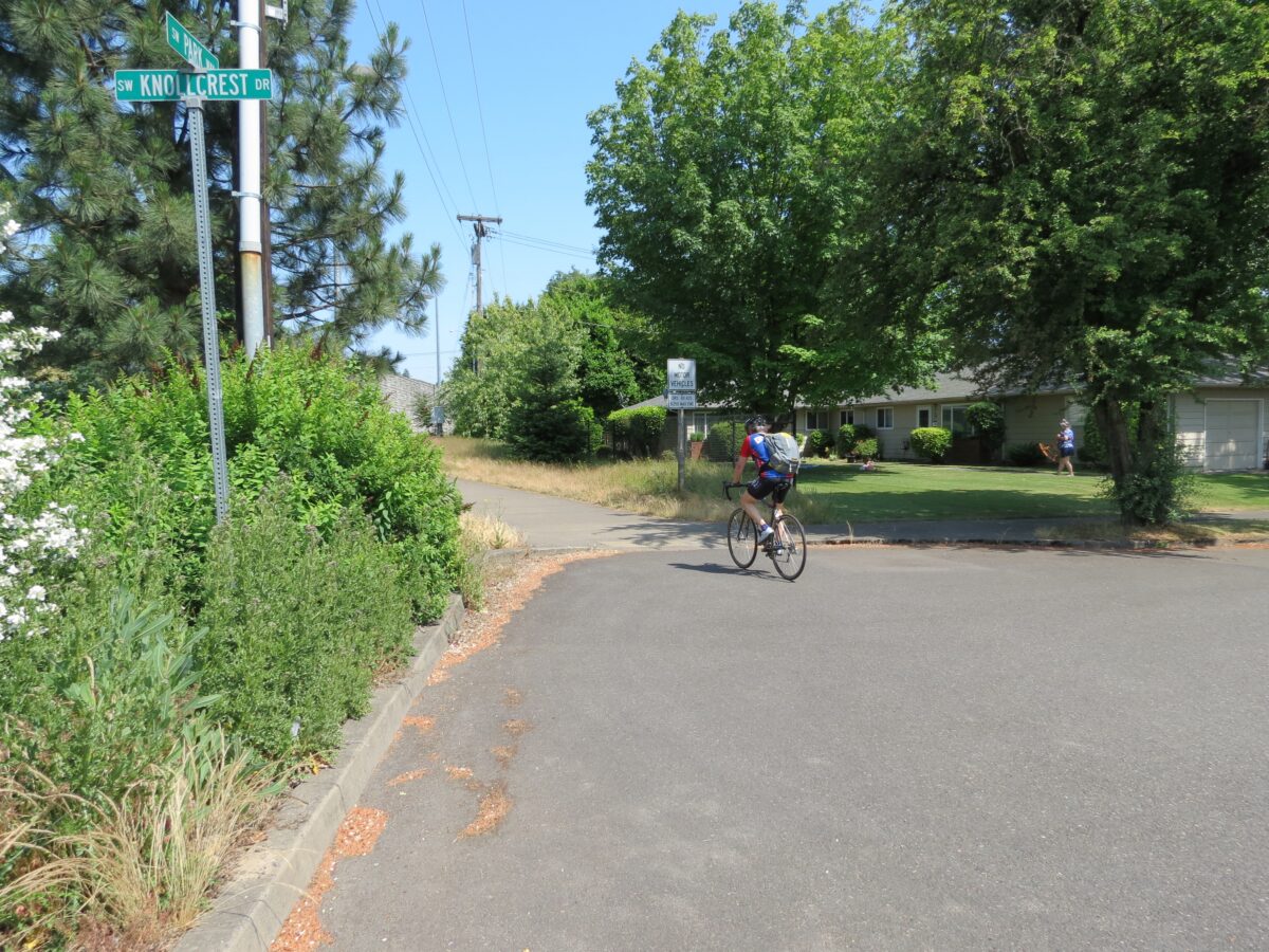
From Marlow, take the next left on SW Wilshire St, to head east. This Wilshire is not as glamorous as the one in Beverly Hills, but it’s pretty fancy for us in Oregon in that it takes us to the bike path.


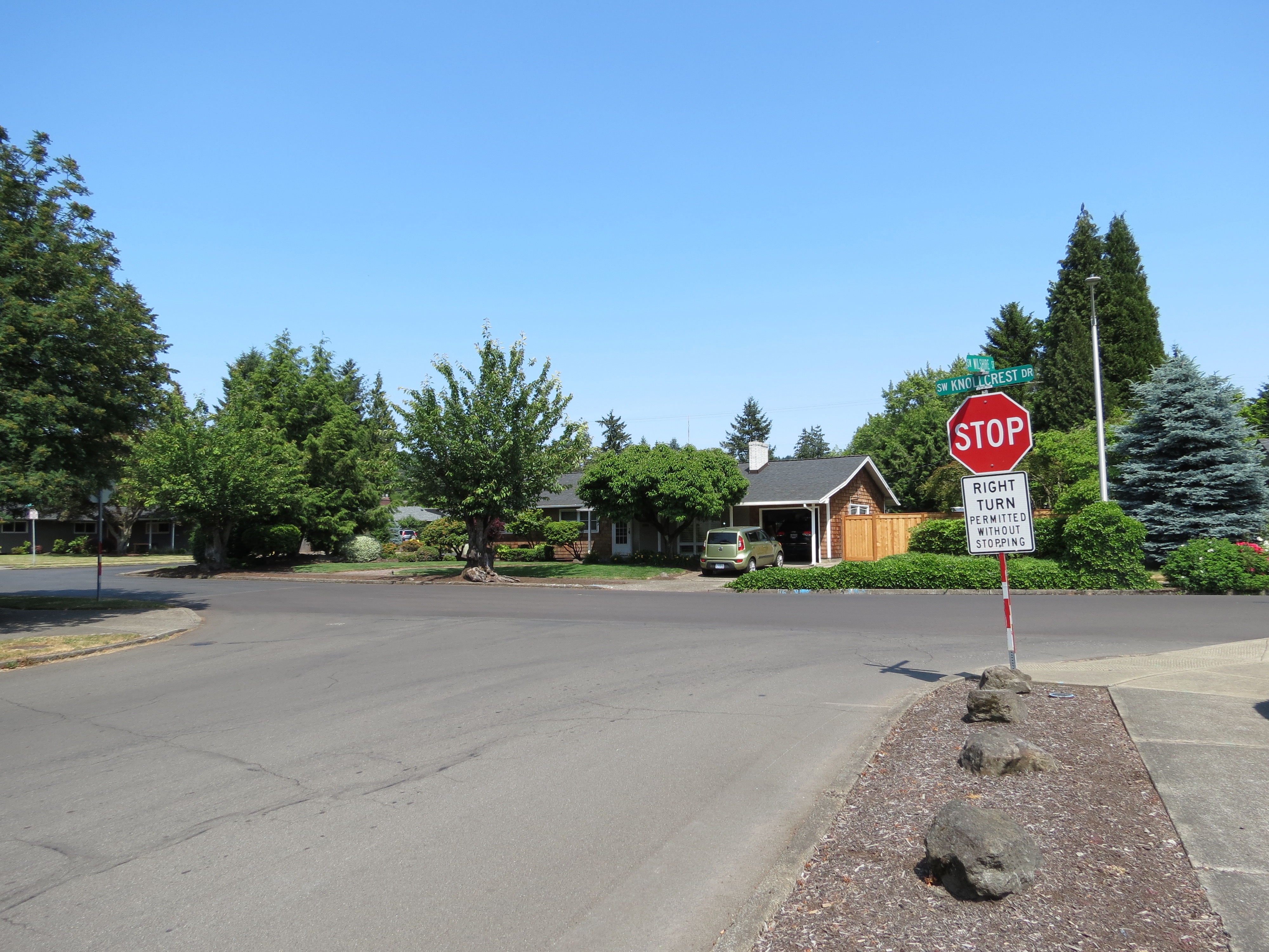
Follow SW Wilshire to SW Knollcrest, and turn left. Head toward the wall… look right, and there it is!

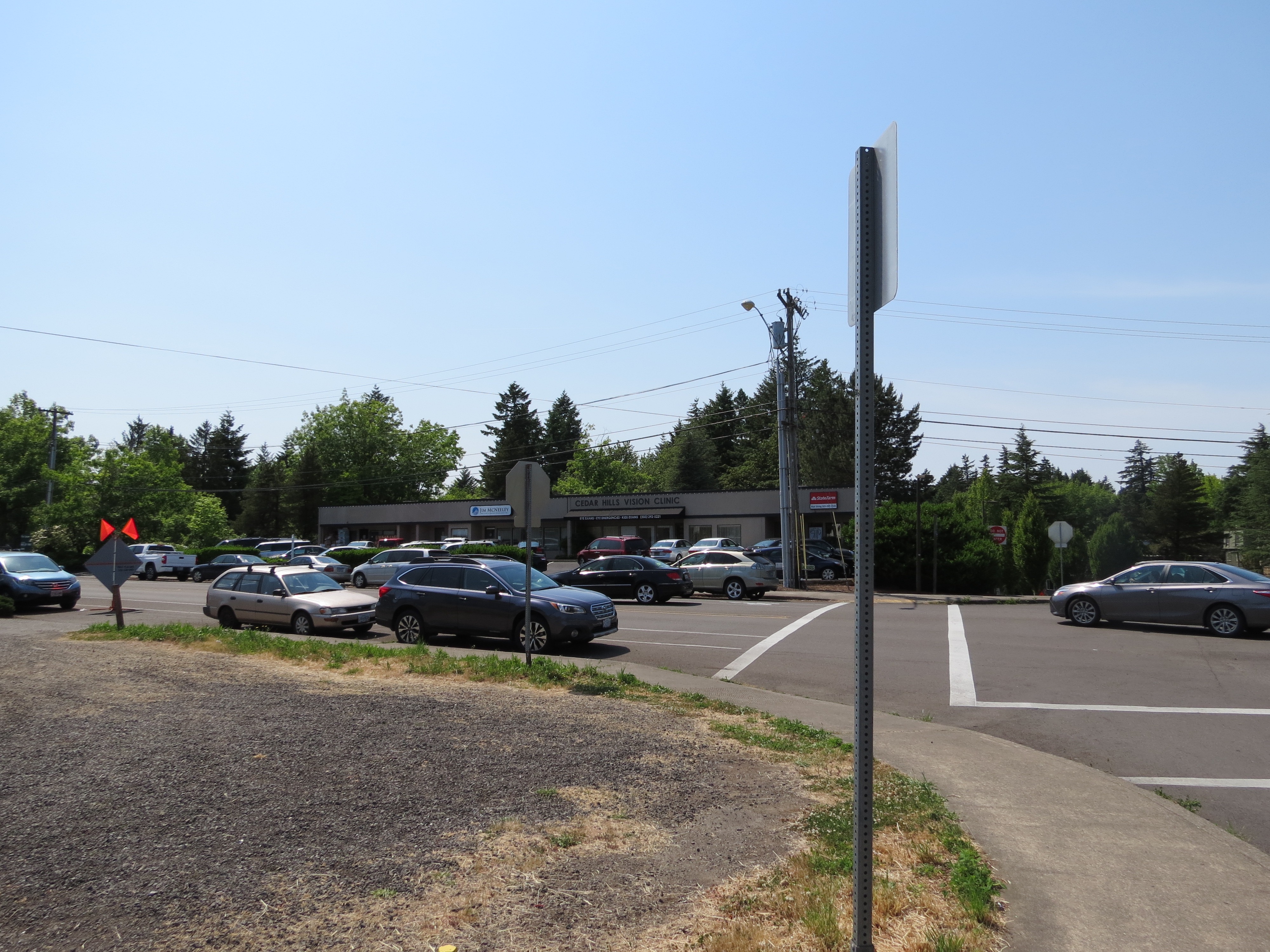
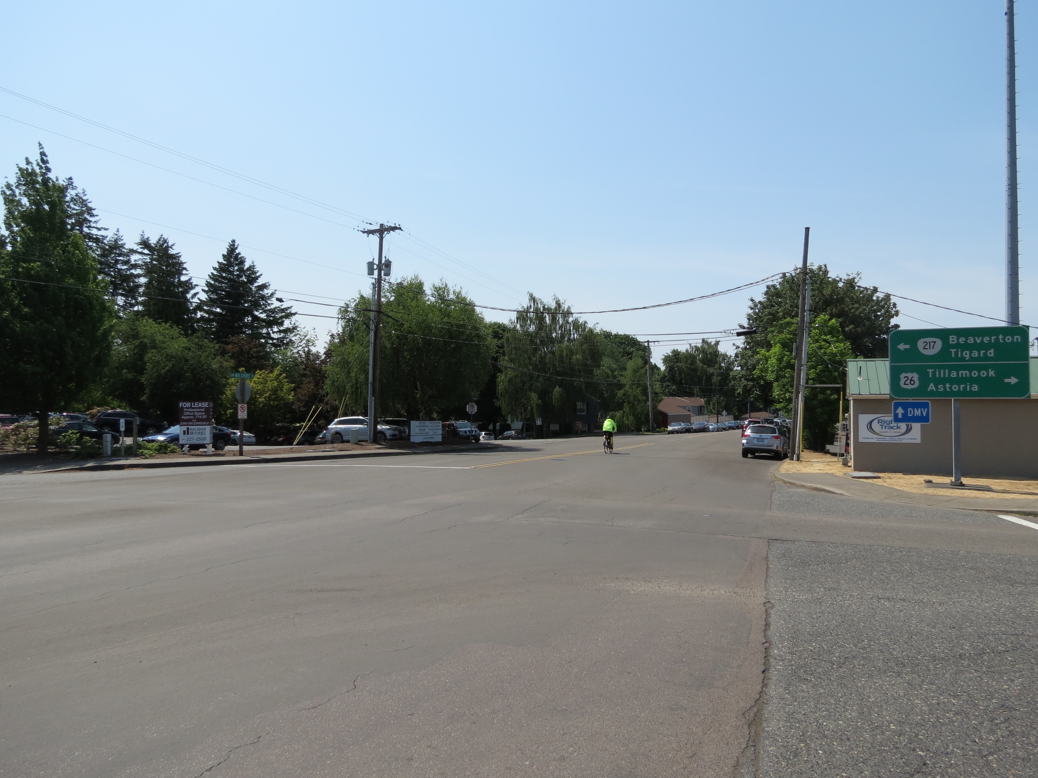
Seems easy enough, but out in the vastness of the suburbs on unfamiliar streets, and with no wayfinding signs, becoming lost in residential areas isn’t unheard of. If you do lose your way, there are a couple of “lighthouses,” or sign beacons to circle back to: the towering DMV sign and the soaring Cedar Hills tower. And remember: Bus line 59 continues on Park Way to Sunset Transit Center and the bike route on Wilshire is one street south of the bus line.
I hope this was helpful. Here’s the route on Google Maps. Let me know if you have other tips and tricks for finding your way on the west side and I’ll consider them for a future post.
— Naomi Fast, @_the_clearing on Twitter
Never miss a story. Sign-up for the daily BP Headlines email.
BikePortland needs your support.