
The Portland Bureau of Environmental Service (BES) has already broken ground on a major project to enhance the habitat of the Oaks Bottom Wildlife Refuge. It’s an exciting project for fish who swim in the Willamette; but for humans who ride bicycles it comes with a relatively high cost of convenience.
As we reported in January, the project will require a closure of the Springwater Corridor path for up to four months starting in July.
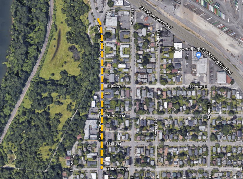
With just a few months until the planned closure, the Sellwood Moreland Improvement League has been lobbying BES in hopes of creating a bike detour that would be as safe and convenient as possible. BES hasn’t released detailed bike detour maps yet (they’re still in draft form, an official told me this morning), but back in January they wanted to use SE 19th as the recommended route. (They would also encourage people to cross over to the west side using the new Sellwood Bridge to connect to the Willamette Greenway path.)
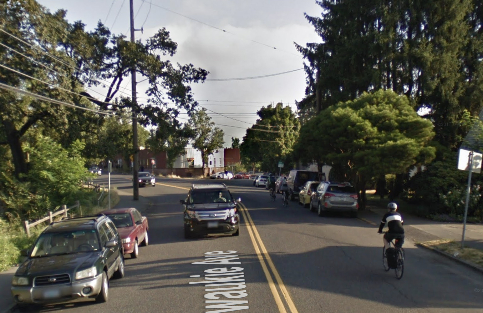
19th is a nice, residential street that should have additional neighborhood greenway features added by this summer. But it’s also about 10 blocks east of the Springwater path and would require climbing and about one mile of out-of-direction travel for many bike riders.
Instead, SMILE wants BES to use SE 14th and 15th (already a calm route that goes by a school). In the northern end, SMILE also asked BES to install temporary bike lanes on SE Milwaukie Ave between Reedway and Mitchell by using space currently allocated to on-street parking. On the southern end, they asked for some crossing upgrades at SE Bybee and 14th. SMILE President Joel Lieb wrote in a February 21st letter (PDF) to BES Environmental Program Coordinator Ronda Fast that, “We want to ensure those [2,800 daily Springwater path] users have a well-planned practical and safety to her on surface streets during the closure.”
Here’s a mock-up (created by Sellwood resident William H.) showing the draft BES route and the route preferred by SMILE:

In a letter (PDF) dated April 5th, BES politely denied their requests.
Here’s the salient portion of the letter from Fast:
“After a thoughtful evaluation of your request, and after re-evaluating our plan for signage and route options with our project team, we believe that spending additional project funds on temporary bike lanes on SE Milwaukie between SE Reedway and SE Mitchell (in particular, between SE Reedway and SE Insley), is outside the scope of the project. Nor would it necessarily provide a better alternative to the established SE 19th Avenue Greenway route. We also believe that removing parking along this stretch would disrupt commercial and residential activities on that corridor, as well.
Regarding improvements at SE Bybee & 14th, the project team feels that it is also beyond the scope of the Oaks Bottom project to contribute to improvements at that intersection. When it’s fully complete this Spring, the SE 19th Avenue Greenway will include new crossing treatments, signage, and buffered bike lanes that will provide a space designed to prioritize bicycling.”
Advertisement

Fast added that she realizes people will continue to use Milwaukie regardless of its condition. “There are other routes and trails that we anticipate people will use based on their knowledge of the area and comfort level,” she wrote. “These two options are viable alternatives, based on feedback from our partners at PBOT and Portland Parks & Recreation, that can safely handle the increased traffic due to the closure.”
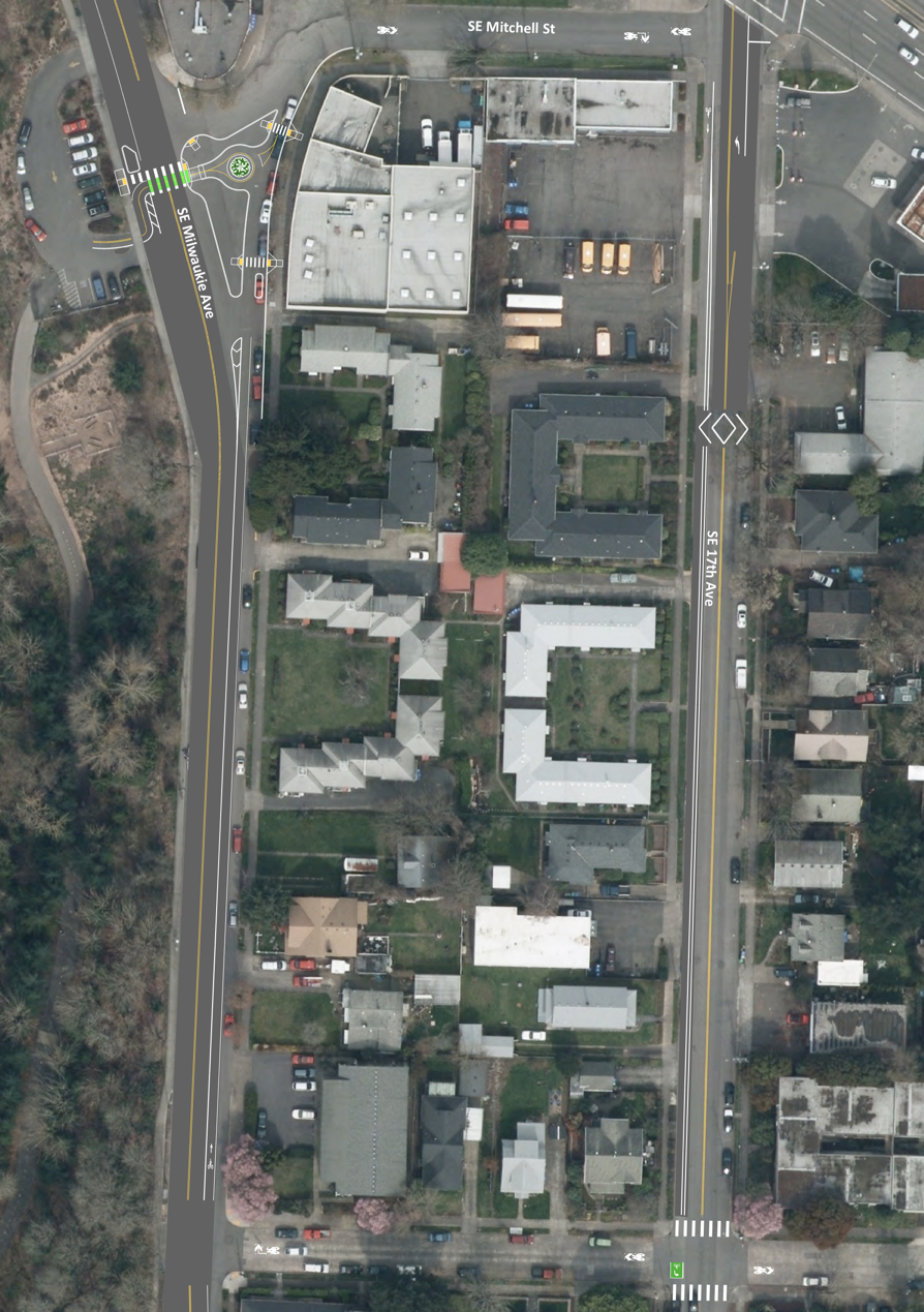
Fast also bases the decision on the Bureau of Transportation completing the 19th Avenue Neighborhood Greenway. The northern section of that project includes turning Milwaukie and 17th into a north-south bikeway couplet. Between Mitchell and Insley, Milwaukie would get a northbound, unprotected, door-zone bike lane and 17th would get an unprotected buffered bike lane southbound.
SMILE Transportation Committee Chairman Scott Kelly said the letter from Fast was, “Disappointing, to say the least.”
Another issue is whether or not BES and Portland Parks & Recreation will sign and endorse the bike detour going through Oaks Bottom Natural Area. There’s a paved multi-use path between Milwaukie (at Mitchell) and the Springwater that provides a safe connection. In that past we’ve heard Parks is concerned about increased bike use on this path due to its long downhill that could lead to high biking speeds in a popular walking/hiking area.
Reached on the phone today, BES Public Information Officer Diane Dulken said the bike tour maps are still in draft form. A staffer from BES and from PP&R will present their current plan and ask for feedback from the City of Portland Bicycle Advisory Committee at their monthly meeting tomorrow (4/10).
— Jonathan Maus: (503) 706-8804, @jonathan_maus on Twitter and jonathan@bikeportland.org
Never miss a story. Sign-up for the daily BP Headlines email.
BikePortland needs your support.