(Photos by J. Maus/BikePortland)
Once you open yourself up to the possibility of riding unpaved roads, a whole new world awaits. That, to me, is one of the most exciting things about the “gravel riding” revolution. It’s like we just scored a bunch of new places to ride and it came without loss of blood or treasure.
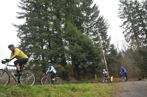
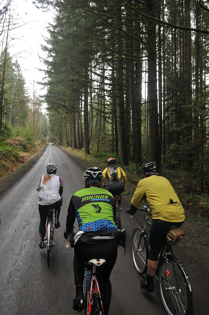
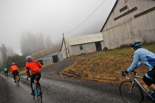
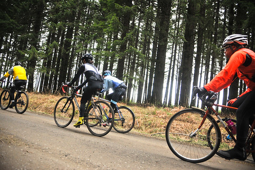
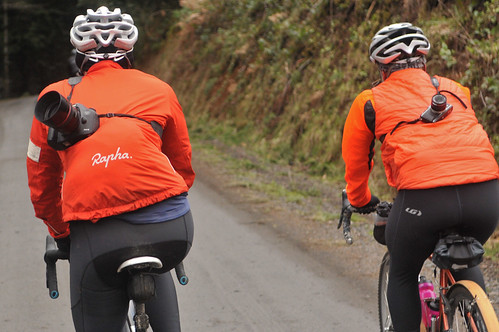
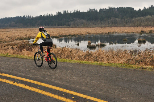
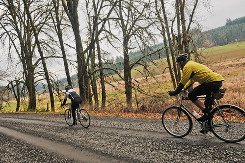
On Saturday I joined a group of backroads connoisseurs on a 26-mile loop north and west of the small town of Banks. Many of you likely know Banks as the southern end of the very popular Banks-Vernonia State Trail. I have ventured off that path before, but Saturday’s ride took me in intriguing new directions.

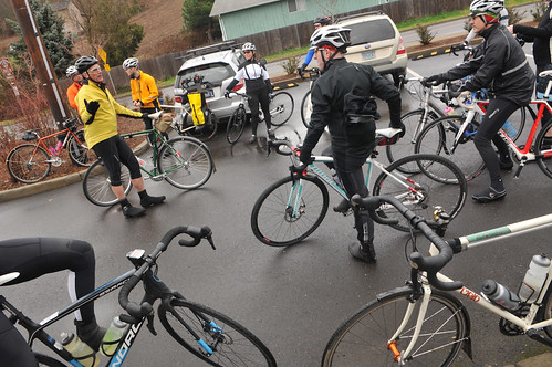
The ride was informal reconnaissance by a sub-group of Travel Oregon’s Gravel Riding Working Group, a committee that hopes to develop, vet, document, and promote the state’s best unpaved road rides. The group included: Bicycling Magazine contributor and Gracie’s Wrench owner Tori Bortman; professional photographer Daniel Sharp; Bicycle Rides Northwest Executive Director Sanna Phinney; filmmaker, photog and bike touring advocate extraordinaire Russ Roca; Kevin Prentice and Cullen King from Ride with GPS; Oregon gravel riding evangelist/ambassador Dan Morgan; Bicycle Transportation Alliance Board of Directors Vice-Chair and PR pro Leslie Carlson, and others.
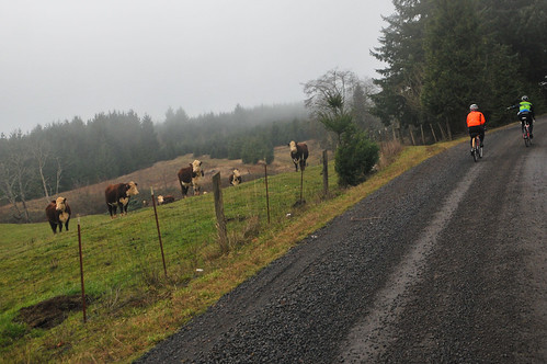
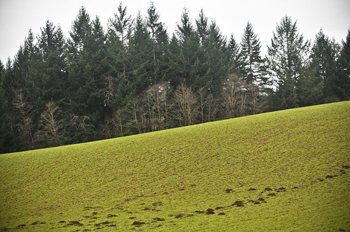
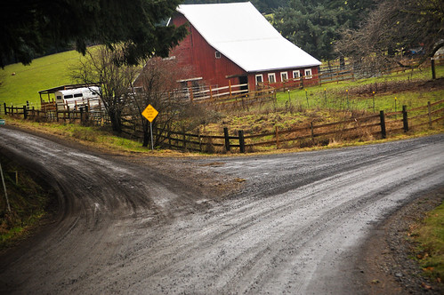
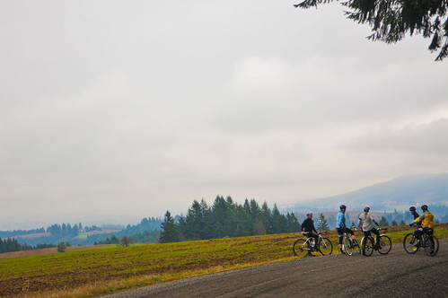
We met at the Banks-Vernonia trailhead, which has ample parking and year-round restrooms (although the drinking fountains were turned off for the season). We headed north on Sellers Road and immediately found ourselves surrounded by charming rural vistas that would accompany us for the entire three-hour journey.
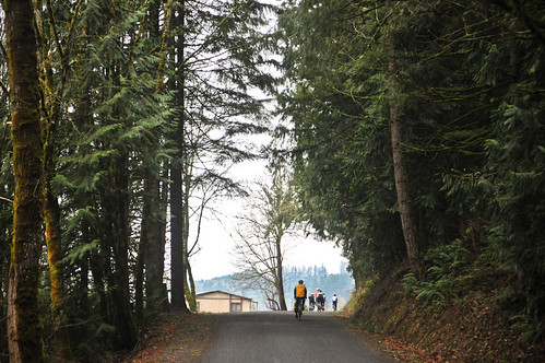
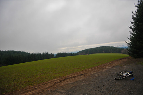
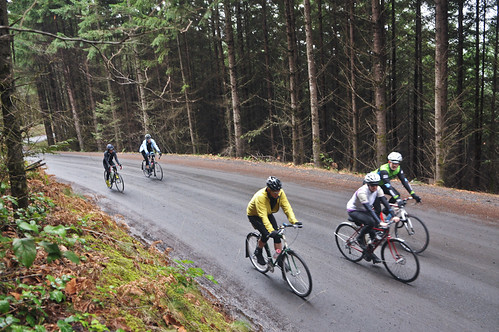
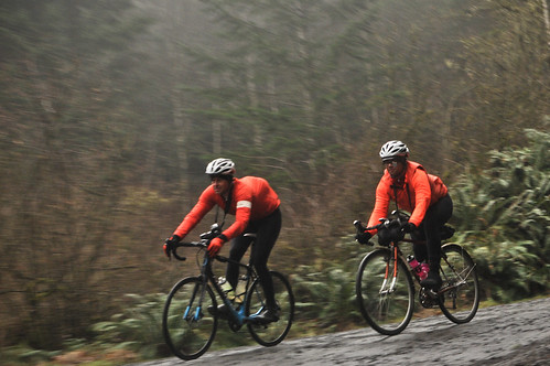
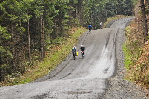
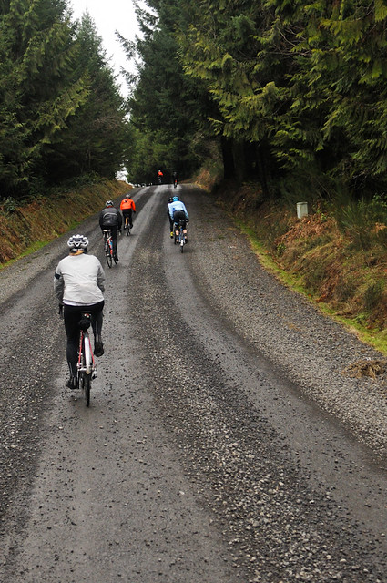
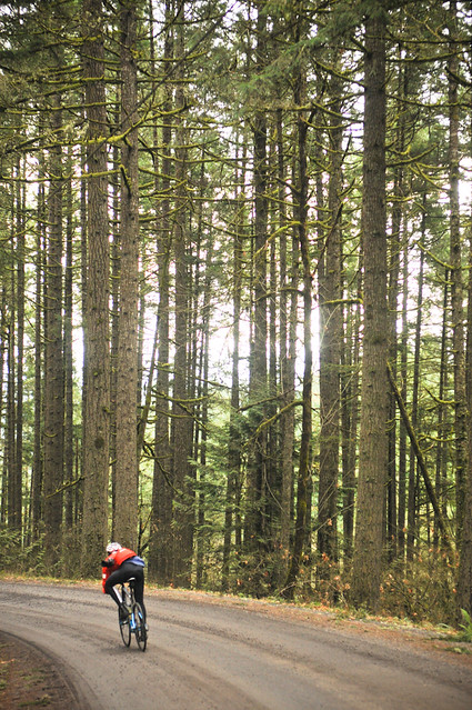
About four miles in we left the valley and started the first of the day’s two big climbs — an 1,100-foot off-road ascent of Green Mountain. The dirt road conditions were very nice. Smooth and only slightly spongy due to recent rains.
Advertisement
At the top of Green Mountain, we veered back down to the valley on a thrilling, 4.5 mile descent that dropped us off at the Manning Trailhead of the Banks-Vernonia path. If you wanted to cut the ride short you could just roll south on the state trail and get right back to the parking lot. We decided to press on, across Highway 47, and right into our next big climb of the day up Hayward Road.
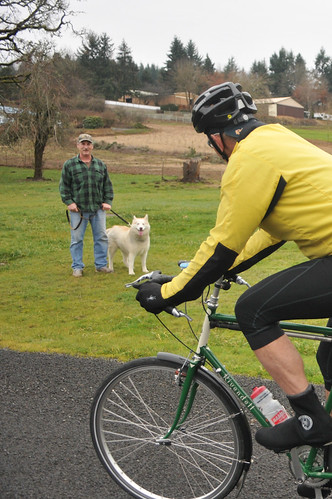
Around the first few corners on Hayward was a very excited dog (a boxer) who had a penchant for pedaling feet. The dog came right at me as I tried to pedal past; its eyes transfixed on my shoe. I sort of panicked and at one point it clenched onto my foot. Luckily Cullen King, who was riding just beside me, sprayed the dog off with his water bottle. (Turns out they got photos of the dog nearly biting someone else and plan to report its owner to the County).
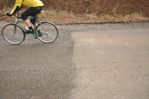
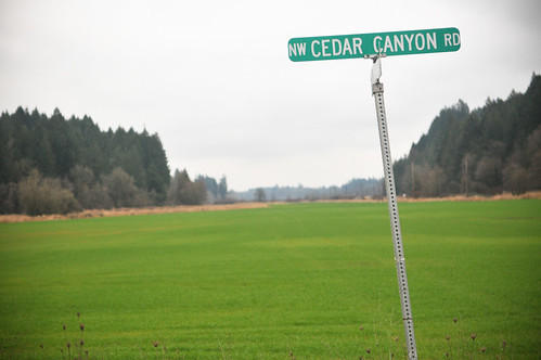
The next descent on Cedar Canyon Road took us to Highway 6 where we looped back to Banks via rolling hills through a mix of paved and unpaved roads.
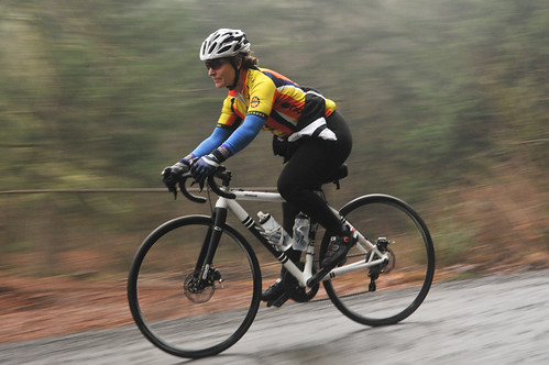
I highly recommend checking out this route. If you don’t like driving to ride, you can take the MAX from Portland to Hillsboro and ride the 13 miles to the trailhead (that’s what I did and it worked out great). Another idea would be to do this as a day trip from Stub Stewart State Park (10 miles north of Banks). As for equipment, I noticed a variety of tire sizes (minimum of 28c recommended) and bike types.
Check out a detailed description of this ride, along with GPS tracks, elevation profile, interactive map and more via RideWithGPS.

