

It’s been a rough week and we’ve still got several days before the air clears and we can take a full breath again. So as we roll into the weekend I want to share some very good news: On a ride last weekend I discovered that it’s now possible to ride the entire Crown Zellerbach Trail from Scappoose to Vernonia.

Purchased by Columbia County in 2004, the Crown Z (also known as the CZ) has seen many upgrades over the years. Millions have been invested to build bridges, adds signs, and develop parking and trailhead facilities. But even with a host of major recent improvements there was still a dead-end at the western end of the trail where the route went through private property. It left a tantalizingly short, 2.5 mile gap between the Wilark Trailhead and Knott Street in Vernonia. The detour around this gap was about seven miles on a mostly narrow highway with little to no space to ride on the shoulder. This gap prevented many people from taking the Crown Z all the way to Vernonia where the Banks-Vernonia Trail starts and provides another 20-plus miles of off-street riding pleasure.
Linking these two 20-mile routes has been the dream of many for a long time. Now it has come true!
While the latest Crown Z map showed the Holce Trailhead at the end of Knott Street, riders found that the land adjacent to the trailhead has been closed all summer due to active logging. That operation is now complete and the road is finally open.
Advertisement

I’ve got word from Dale Latham, a member of the Crown Zellerbach Trail Citizens Advisory Committee, that riders can now get from Wilark to the Holce Trailhead (Knott Street). The official easement from the Holce family is still pending signatures at County offices, but the landowners are eager to grant the public access and you won’t have any trouble getting through.
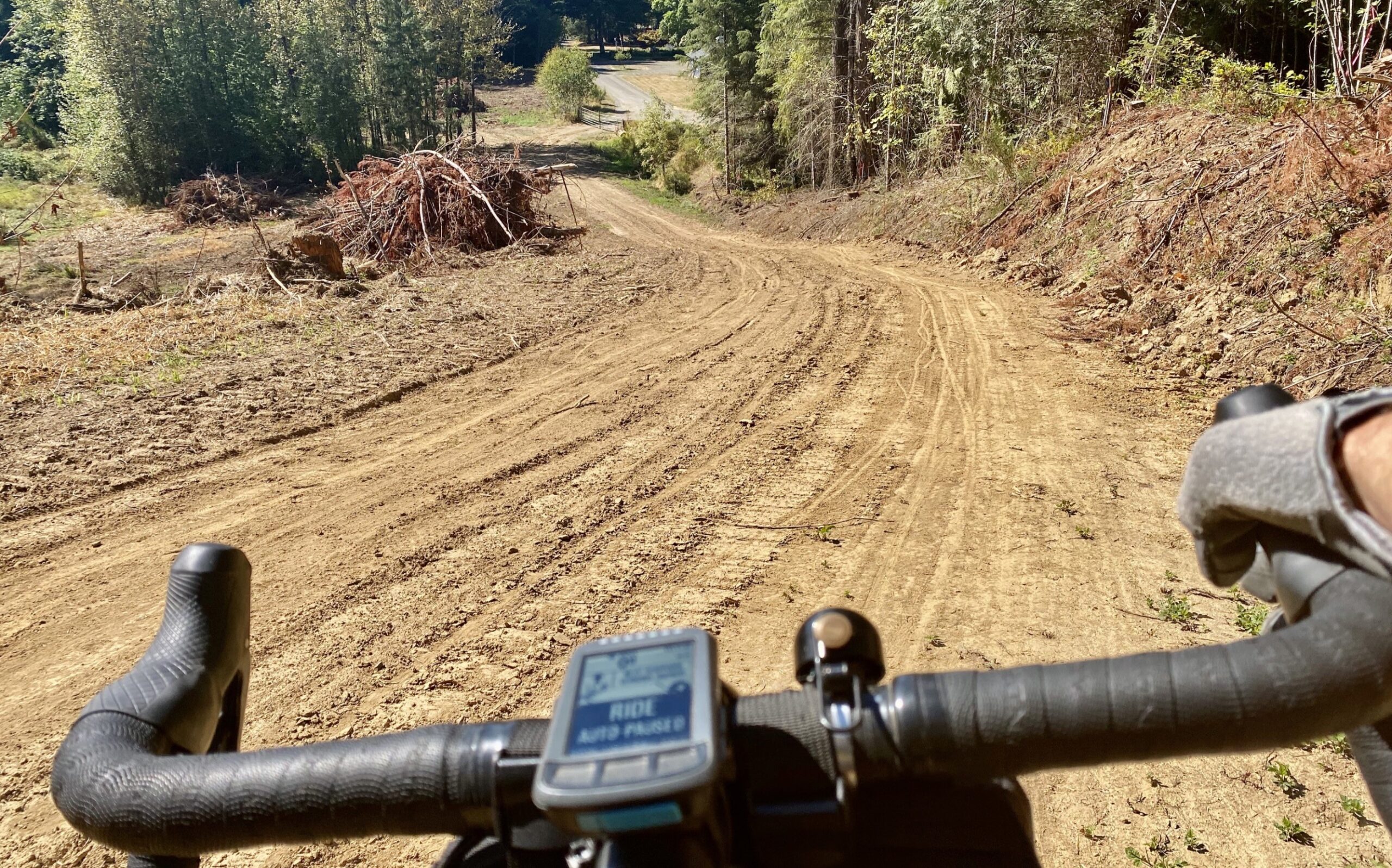
I will warn you that the final mile or so through the freshly cleared land is steep and soft. It’s downhill heading into Vernonia, so keep in mind that it’s probably unrideable for all the but the strongest riders heading eastbound (back toward Scappoose). There are no immediate plans for switchbacks to even out the grade but that’s something that’s likely to come in the future. In the short term there will be fresh gravel so the road holds up in the rain.
Latham says this fall and winter he’s working with a professional trail builder and Travel Oregon to create new signage that makes the connection between Knott Street and Lake Vernonia/Anderson Park more intuitive.
Stay tuned for a grand opening in May 2021!
— Jonathan Maus: (503) 706-8804, @jonathan_maus on Twitter and jonathan@bikeportland.org
— Get our headlines delivered to your inbox.
— Support this independent community media outlet with a one-time contribution or monthly subscription.