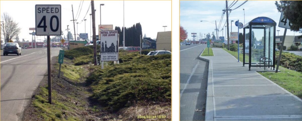
Portland’s regional transit agency wants to know more about what it’s like to walk to its buses and trains. TriMet launched an update to their Pedestrian Plan today and embarked on an update of their 2011 Pedestrian Network Analysis.
TriMet’s existing Pedestrian Network Analysis identified a host of issues and prioritized 10 dangerous hotspots for transit users. “The Pedestrian Plan takes this effort one step further by looking at our entire service district using new data and methods,” read a statement released today. Here’s more from TriMet:
The Pedestrian Plan will be developed with input from local government agencies and the community, with equity, safety, and demand as guiding principles. Based on feedback from surveys and community meetings, we will identify overarching values to create guidelines that help decision-makers prioritize projects. Incorporating the ideas of both community organizations and government agencies ensures that the Plan is responsive to community needs and is in line with the region’s transit goals.
Advertisement
This planning effort begins with an online survey questions like, “What makes it hard for you to walk to or from your nearest bus stop, or MAX or WES station?” In the coming months TriMet will host several “stakeholder fourms”. A draft plan is due by March 2020 and a final plan by May that same year. Learn more at TriMet.org/walk.
— Jonathan Maus: (503) 706-8804, @jonathan_maus on Twitter and jonathan@bikeportland.org
— Get our headlines delivered to your inbox.
— Support this independent community media outlet with a one-time contribution or monthly subscription.

