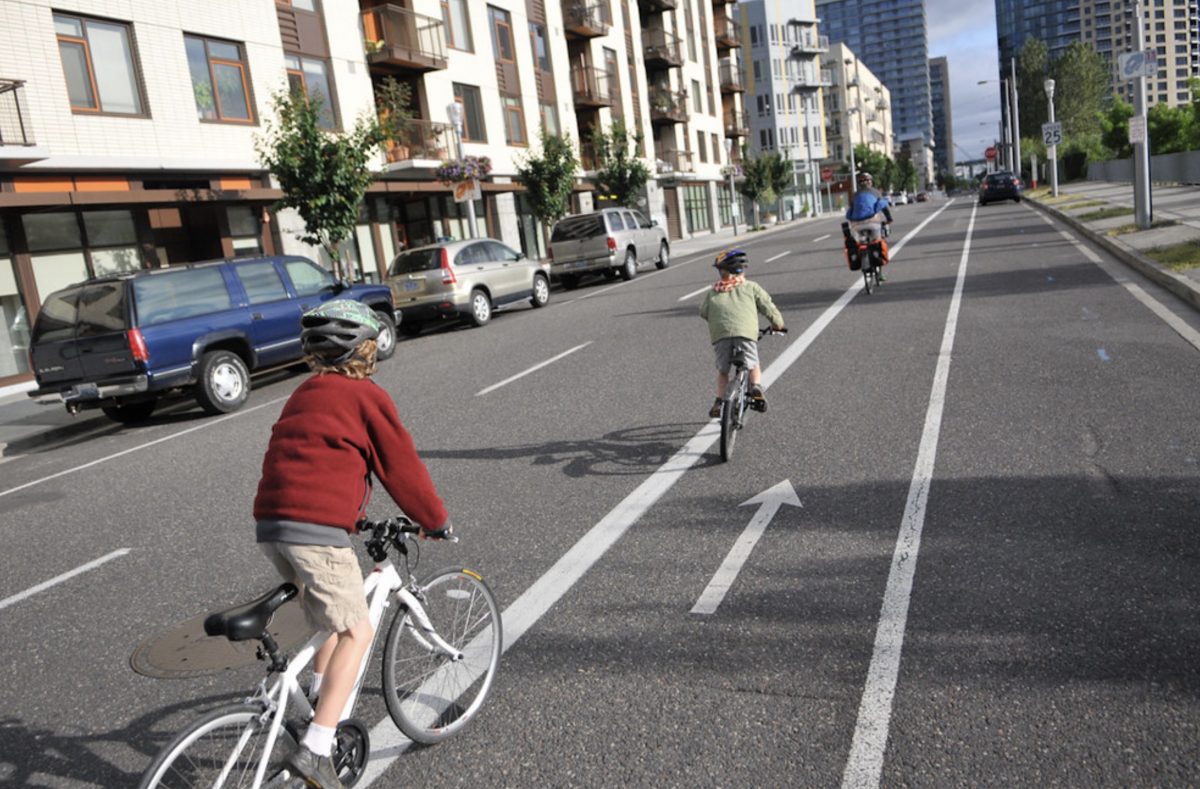
(Photo: J. Maus/BikePortland)

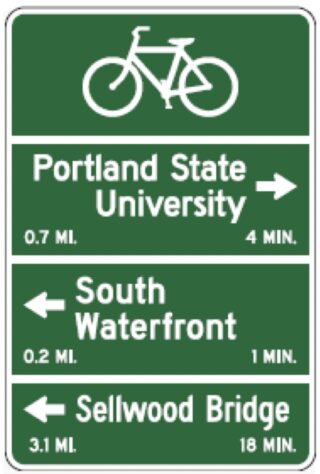
20 new wayfinding signs are coming to South Waterfront. This week the Portland City Council accepted a $13,460 grant from Metro that was awarded through their Regional Transportation Options program in 2016.
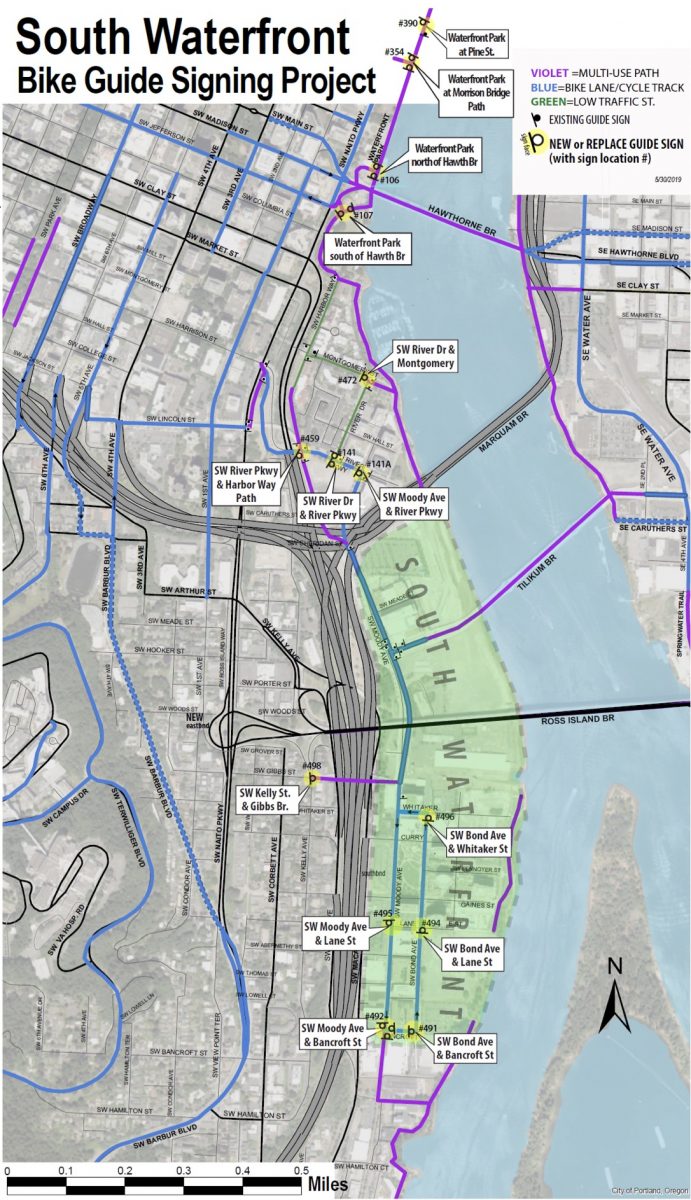
“Simple bike wayfinding signs displaying distance and time to key destinations will help current and would-be riders to understand bicycle accessibility to and from the South Waterfront,” reads a project description. “The signs will be strategically placed at intersections throughout the district , with the southernmost signs encouraging riders to venture to Willamette Park along the rail trail, and the northernmost sign displaying information to ride to Downtown and the Pearl District. Additional signs will direct travelers to the Hooley Bridge, Lair Hill access, and the Tilikum Crossing and access to the Central Eastside.”
Check out a map of where the signs will go below the jump…
Advertisement

Metro hopes the project will encourage people to get out of their cars and onto their bicycles, resulting in better air quality and less auto parking demand.
A map of sign locations provided by PBOT shows that about half of the 20 new signs will be installed south of the Marquam Bridge, and the other half north of it. The signs will stretch from Waterfront Park at Pine Street in the north to SW Moody and Bancroft in the south.
PBOT says they expect to have all the signs installed by the end of June.
— Jonathan Maus: (503) 706-8804, @jonathan_maus on Twitter and jonathan@bikeportland.org
Never miss a story. Sign-up for the daily BP Headlines email.
BikePortland needs your support.

