(Photos: J. Maus/BikePortland)
Did you know there’s a ride that’s 80 percent carfree and will take you from inner Portland to beaches on the Willamette and Columbia rivers on a mix of quiet residential roads, sidewalks, and paths?
We all know how Portland’s 90-mile network of neighborhood greenways are great at getting us across town; but they can also help us get away from town.
A Portland Bureau of Transportation staffer once referred to our neighborhood greenway network as a “bus system for biking and walking.” And similar to how some of us use light rail to expand the scope of rides (like taking MAX to Hillsboro to reach Stub Stewart State Park), our neighborhood greenways enable smaller journeys more suitable for riders of all ages and abilities but no less fun and adventurous.
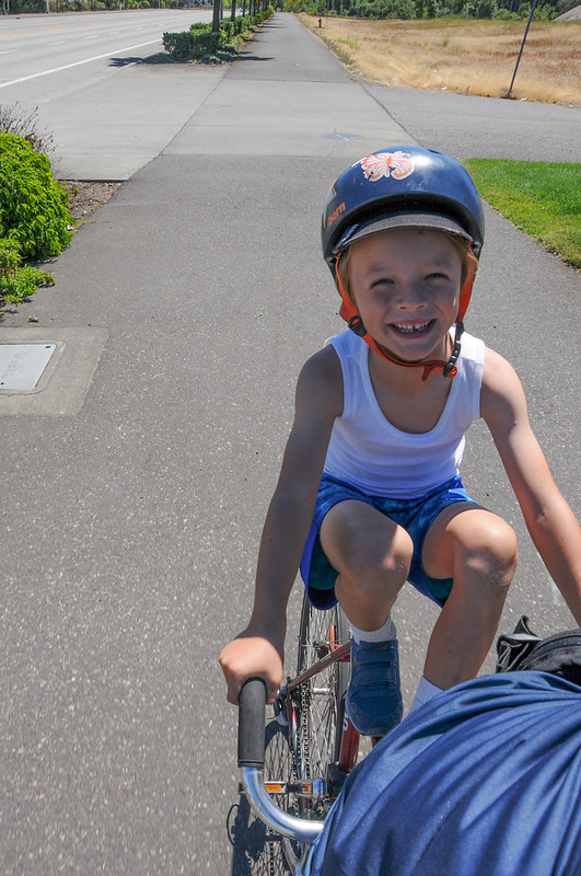
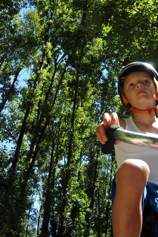
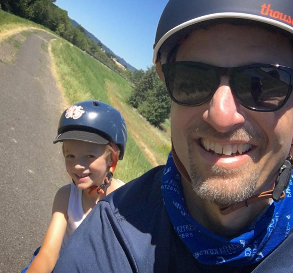
This past weekend my six-year-old son Everett and I hopped on a borrowed tandem (thanks Peter!) and headed out to Kelley Point Park — an isolated, 100-acre stand of cottonweed trees and grassy meadows at the confluence of the Willamette and Columbia rivers.
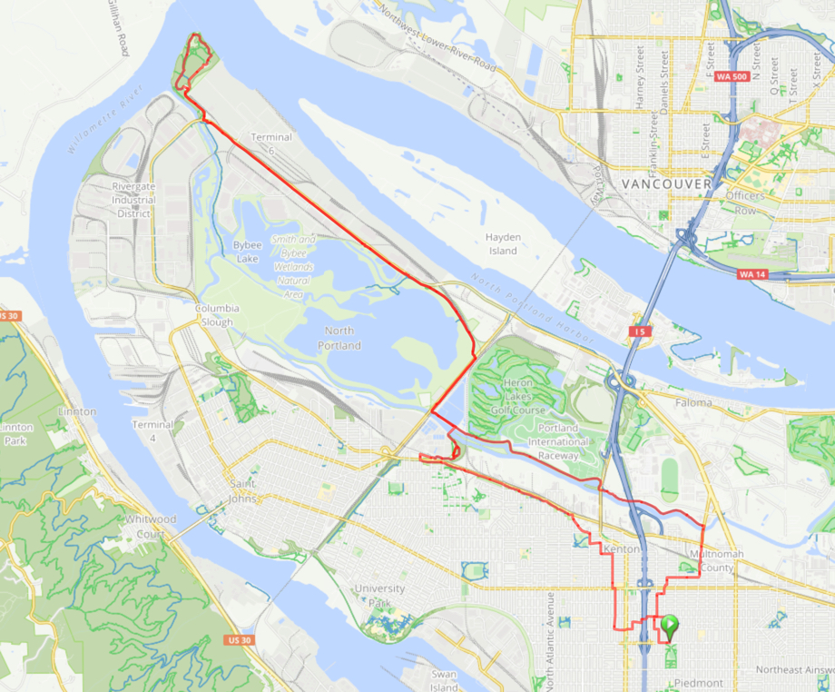
I’ve done this ride countless times. Each time I try to refine the route to make it as safe as possible. And by “safe” I mean a route that avoids proximity to motor vehicles and their drivers. The route we did on Sunday is about 80 percent off-street. The other 20 percent (give or take) is all on neighborhood greenways. This means you can ride this 20-mile loop relatively stress-free (especially on weekends).
Here’s how it looks…
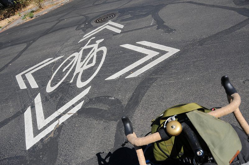
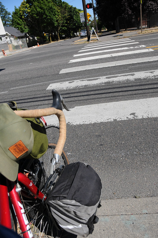
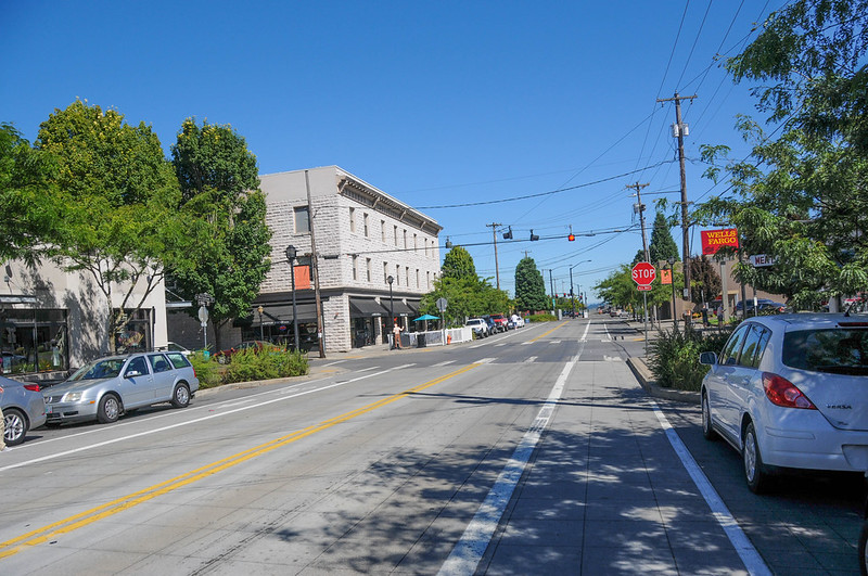
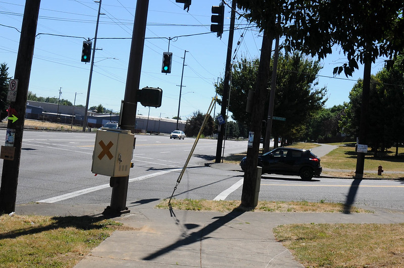
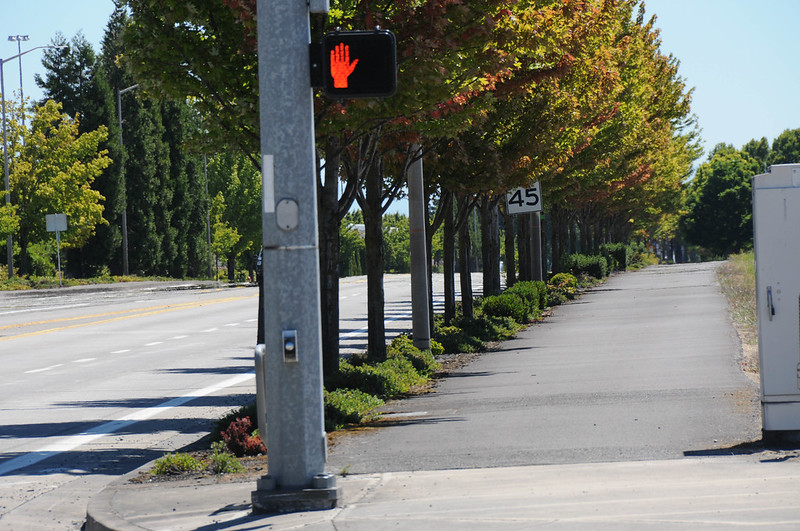
From the North Michigan Avenue neighborhood greenway we headed north to the carfree Bryant Bridge over I-5. Then using the bicycle signal sensor at N Dekum and Interstate we headed west to connect with the greenway on Concord. That took us north towards Kenton via a signalized and zebra-striped crossing of North Lombard.


The bike lanes and bike-themed streetlight banners on Denver Avenue welcomed us to Kenton’s quaint commercial district. From there we skirted over to Kenton Park where we rolled up a curb-ramp to the sidewalk that would lead us out to Columbia Boulevard. The next 16 miles of this ride would be on paths separated from motor vehicle traffic (except for crossings and driveways of course).

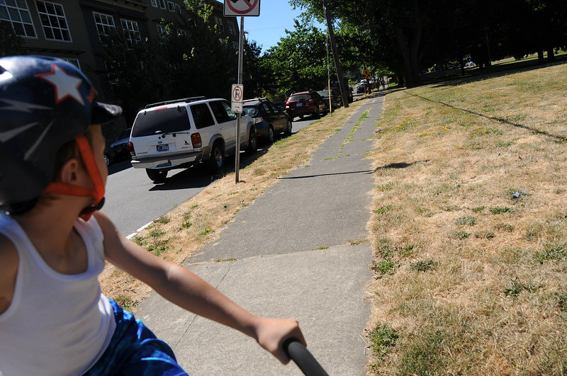
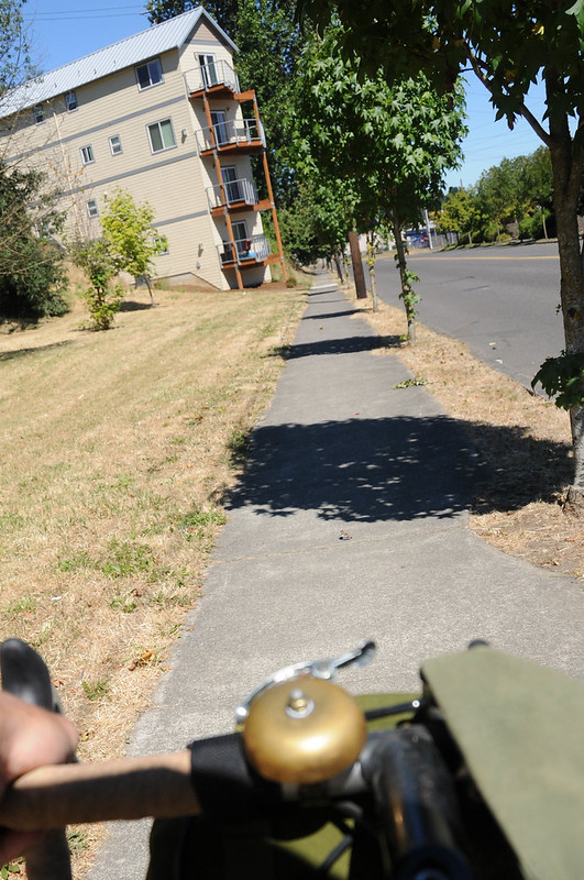
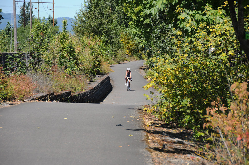
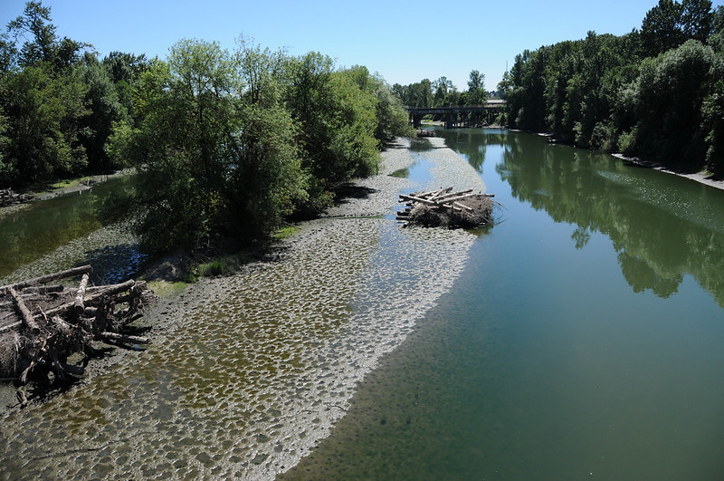
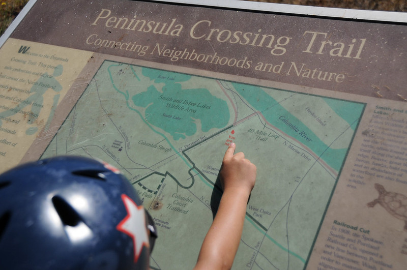
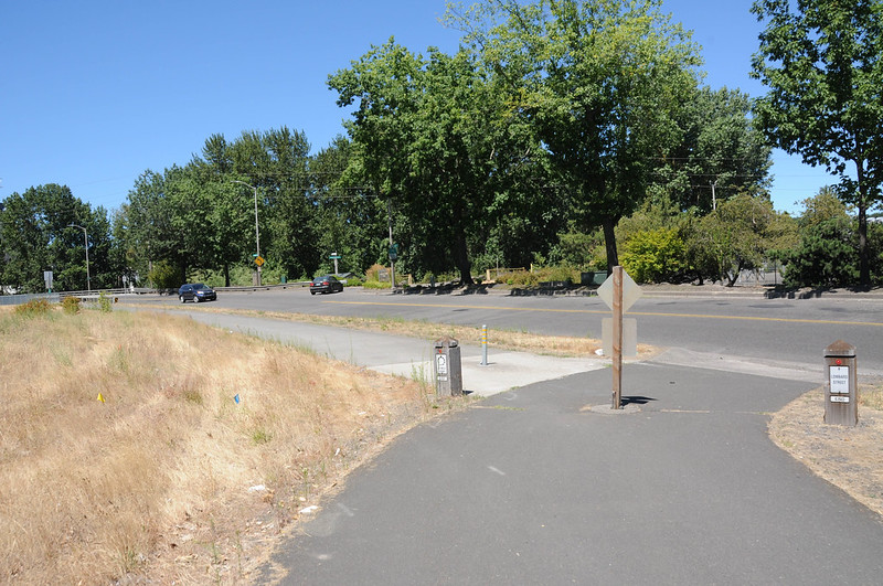
There’s a wide sidewalk that runs along Columbia for 1.5 miles and connects Kenton to the Portsmouth neighborhood. At Portsmouth we used a signal to cross Columbia and connect to the Peninsula Crossing Trail. The Portland Water Bureau has just finished making some changes to this path that winds through trees to a bridge over the Columbia Slough and connects to the Columbia Slough Trail. They closed the westernmost path that used to offer a nice hilltop view of the water treatment plant; but they added a gravel path to the northeast that offers river access and a bit of a challenge for skinny-tired road bikes (keep speeds very low on this gravel path due to short sightlines).


Advertisement


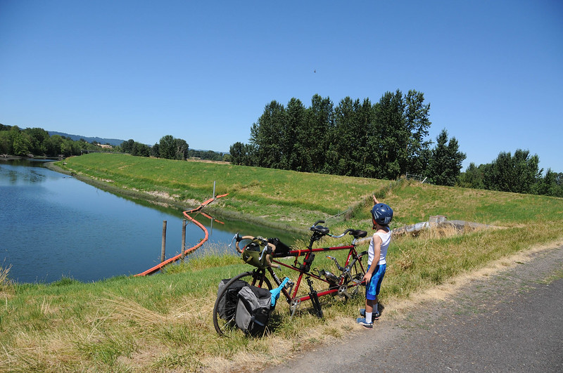
We took a left after the bridge and connected to the path adjacent to N Portland Road toward Smith and Bybee Lakes, a Metro-run natural area. The left turn from the path across Portland Rd is about 0.6 miles from the slough (from here it’s 4.7 miles of relaxing carfree riding to Kelley Point Park). The lakes are a perfect spot for a break. There’s a restroom and drinking fountain about 0.7 miles west of Portland Road. You can park the bike at Smith and Bybee and wander through the paths (riding is not allowed) which are known for being home to deer, owl, beaver, rabbits, and all manner of interesting things. There are plenty of secluded spots to discover where it’s easy to enjoy quiet picnic or nature-inspired sketchbook session.


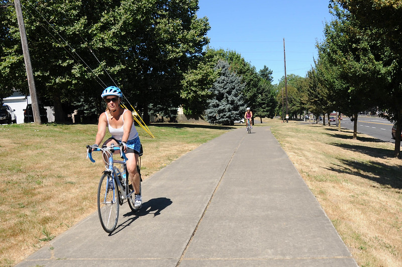
Rolling past Smith and Bybee you continue west for about four miles on a wide sidewalk adjacent to Marine Drive. On weekends this is a very chill section; but be advised this is a heavy industrial zone and there are many driveways where large trucks and factory employees roll out. The good news is the path is wide and sightlines are mostly good. It’s also popular enough that people are used to seeing bicycle riders on it.

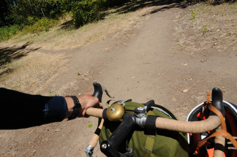
The only part of this entire trip that qualifies as an annoying gap is the short crossing of Marine Drive from the path to Kelley Point Park. There’s a sad sign on the path that reads “40-Mile Loop – END”. Motor vehicle speeds are high here and many of them are big trucks. We really need a safer crossing into the park that doesn’t require people to ride the shoulder of Marine Drive. With a signalized, user-activated crossing we could connect a path on the north side of the street near the park entrance (there’s pleny of right-of-way). Also note that if you aren’t afraid of a few roots and tiny bit of narrow dirt trail, you can avoid crossing Marine Drive via a path that goes under the bridge that’s near the park entrance.
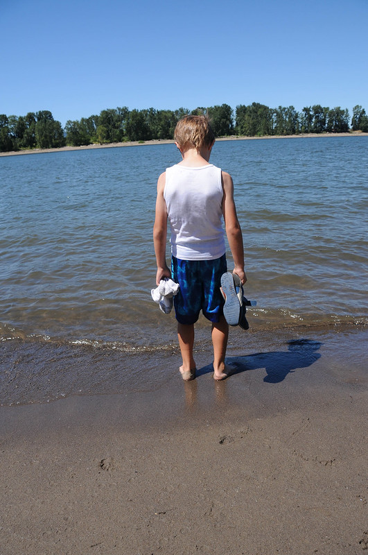
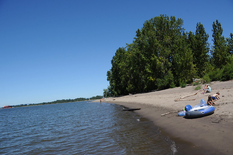
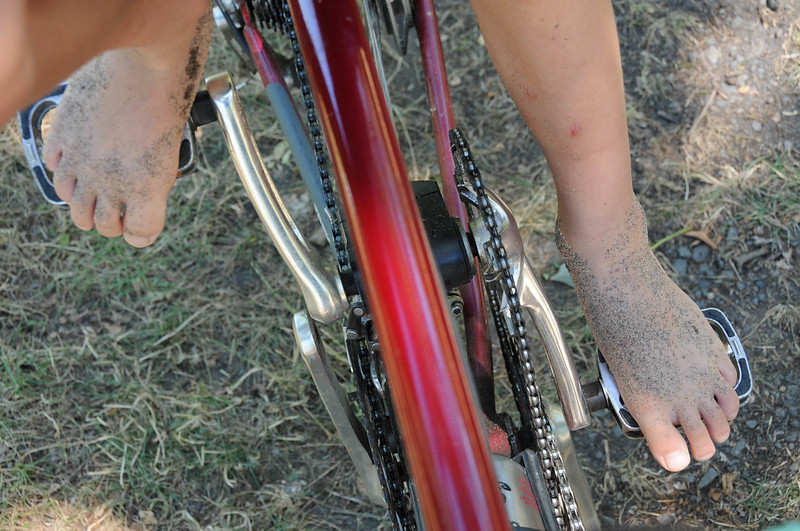
Once in the park we headed to a large central meadow to eat our lunch and play a few games. Then it was off to the Willamette River beach on the west side of the park to cool off and hang in the sand before the ride back home. Everett opted to leave his shoes off for our return journey.


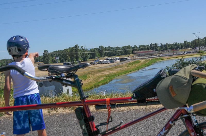
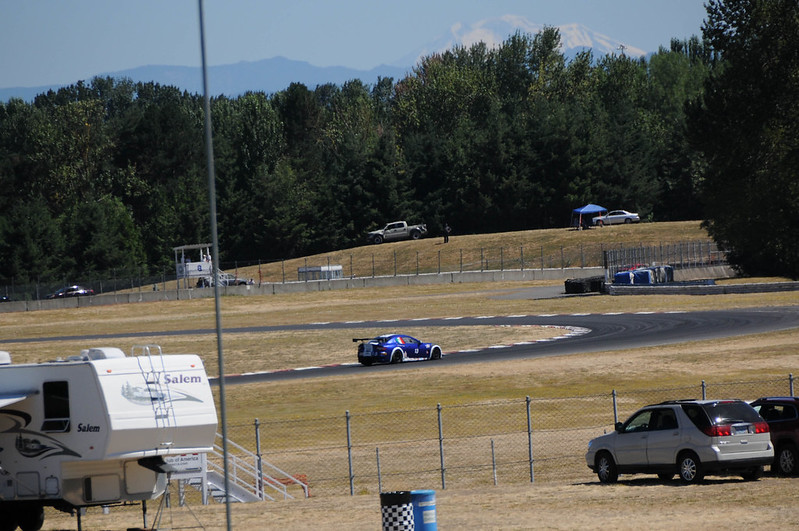
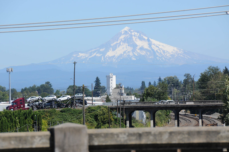
We rolled back the same way we came and were treated to several great peeks of the Mt. Hood peak. Instead of going back over the Columbia Slough Bridge near the water treatment plant we continued east. This took us on the path along the slough toward I-5 and Portland International Raceway. There was some serious auto racing on Sunday so we stopped in awe at the sound and speed of the sleek machines as they navigated the course’s hairpin turns at breakneck speeds.


We continued east on the Columbia Slough Trail on the new carfree connection ODOT made under Denver Avenue. People have been living and camping in this section for a long time. I’m used to riding carefully around people and their belongings and the garbage they produce; but Sunday was the first time I came upon cars illegally parked on the path. The slough trail goes all the way to Vancouer Avenue (and someday soon hopefully we’ll close the gap and connect it to Marine Drive via 33rd Ave). From Vancouver we headed south and crossed Columbia Blvd while staying on the sidewalk all the way to Farragut Park. I skirted through the park’s shaded paths and water fountain to cool off just before we returned home via N. Albina and back to the neighborhood greenway on Michigan Ave.


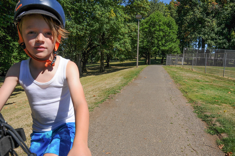
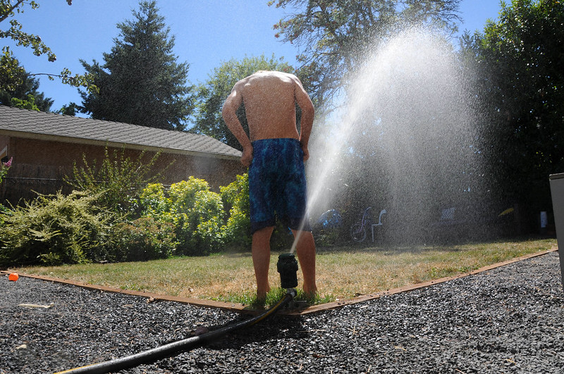
It was Everett’s longest ride ever! He earned every drop from our sprinkler…
I can’t recommend this route enough. It’s got so many great attributes and appeal for all types of riders. Download my route on Ride With GPS and feel free to ask questions in the comments. Have fun!
— Jonathan Maus: (503) 706-8804, @jonathan_maus on Twitter and jonathan@bikeportland.org
BikePortland is supported by the community (that means you!). Please become a subscriber or an advertiser today.