
(Photos: J. Maus/BikePortland)
A Port of Portland project in Troutdale will include a significant extension to the 40-Mile Loop path along the Sandy and Columbia Rivers.
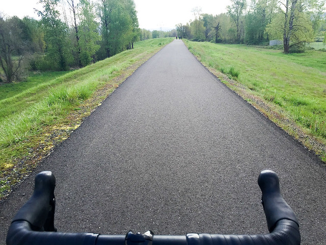
The extension totals 2.1 miles and will finally make it possible to walk and roll on a paved path between Marine Drive near Blue Lake Park (via NE 223rd Ave) and the new paths along the Sandy River constructed by the Oregon Department of Transportation in 2014.
Here’s a map showing how these new paths will make the connection between the 84/Sandy River and Marine Drive.
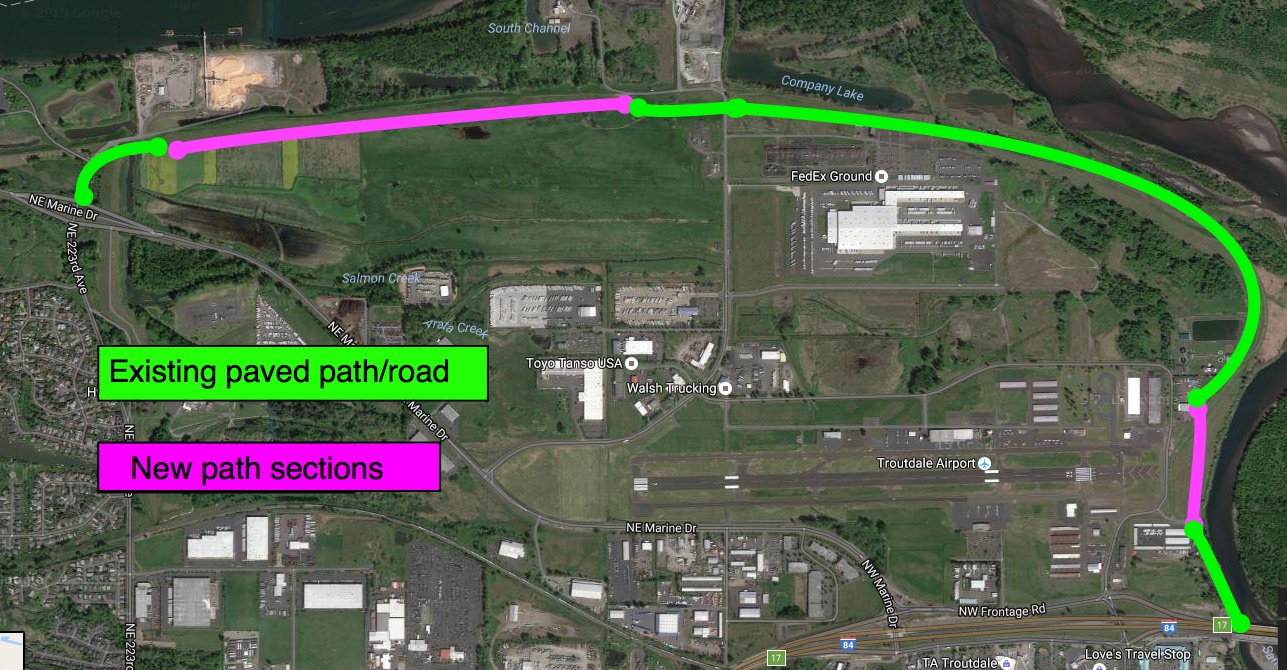
And here’s the Port’s project map:

The new paths comes as part of the Troutdale Reynolds Industrial Park development, also known as TRIP. The site was recently featured in the Portland Tribune following a new report by the Environmental Protection Agency.
The 700-acre site used to be an aluminum plant and now the Port wants to create an industrial zone that the EPA says will support 3,500 jobs. The Port of Portland owns the property, which is adjacent to the Troutdale Airport.
Advertisement

While the Port says it’ll take 10 years for the site to be fully developed, Melanie Mesaros, a spokeswoman for the Port told us they’ll begin construction on the paths in 2018. The design phase will star this fiscal year and construction is only being held up because the paths are on a levee and Multnomah County is going through a levee recertification process.
Mesaros told us via email Friday that the path extension work will be broken up into two main sections: a 1.77 mile segment from Blue Lake Park to Sundial Road (see dotted line on map above), and a .33-mile segment near Harlow Road adjacent to the Sandy River. Once complete, it will be possible to easily avoid downtown Troutdale, Interstate 84 interchanges, and that high-stress frontage road near the truck stop that’s familiar to anyone who’s ridden in this area.
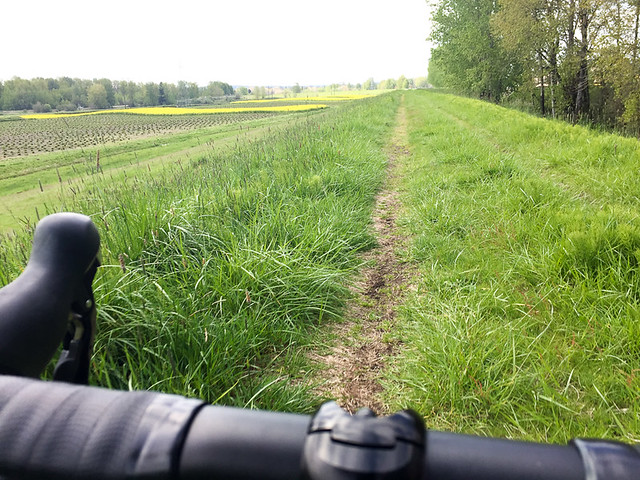
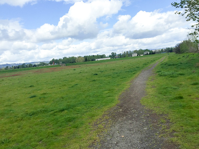
You might recall that back in May 2015 I shared a ride report and photos from this exact area. In that story I rode on unimproved dirt paths in both of the sections where the Port planned to make a paved connection.
— Jonathan Maus, (503) 706-8804 – jonathan@bikeportland.org
BikePortland is supported by the community (that means you!). Please become a subscriber today. You can also make a one-time donation here. (Note: Our support pages are down for maintenance at the moment and will be back up shortly.)