(Photos by J. Maus/BikePortland)
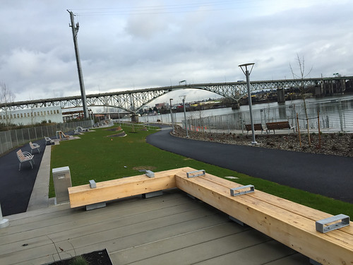
I finally got a chance to check out the new section of Portland Parks’ South Waterfront Greenway and I have to say: It just might be the best integration of public space and bike path Portland has ever built.
Now, if we can just make it actually connect to something we’d be in business.
The path itself has been over a decade in the making (it first shows up in city plans in 2004) and construction started in earnest about five years ago when the City of Portland purchased a quarter-mile of land along the Willamette River in South Waterfront. The project stalled three years ago due to a lack of funding but City Council finally authorized the final $4.7 million to complete it in February 2014. (The funding source was primarily System Development Charges, or SDCs, which are fees paid to the city by developers to mitigate the impacts of their developments.)
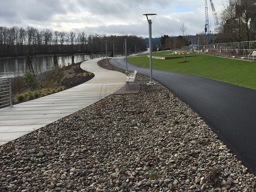
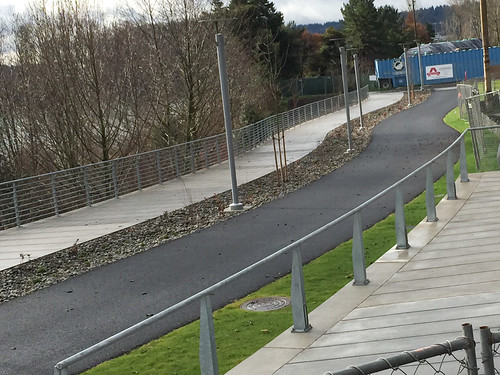
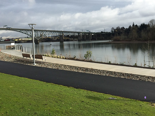
Beyond the world-class design and general excitement about a new section of riverfront bike path in Portland, what makes this project special is that walkers and bike riders will have their own, separate paths. As we’ve seen on the waterfront path just north of this location, overcrowding on Portland’s multi-use paths is a major problem. The separation of uses inherent in this design will (hopefully) alleviate some of the stress and tension of a crowded path where bikers and walkers mix.
Take a little tour and see what you think…
I rolled in at the path’s north entrance on SW Curry Street, or what the Parks bureau calls the “Curry Overlook.” Here’s the view of the path looking north…
And looking south…
Advertisement
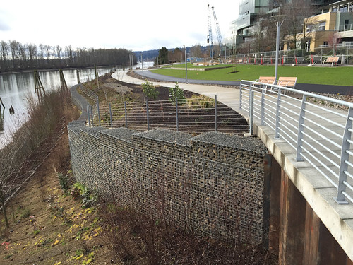
Another view south showing the entire elevation, including the expansive (and very expensive) shoreline restoration work they had to do…
Note that only a small section of the walking path north of Curry St is currently open. Parks has fencing up around most of the path (which I went around to get some of my photos) to make sure the new lawn and other plantings can get established before the official opening later this spring.
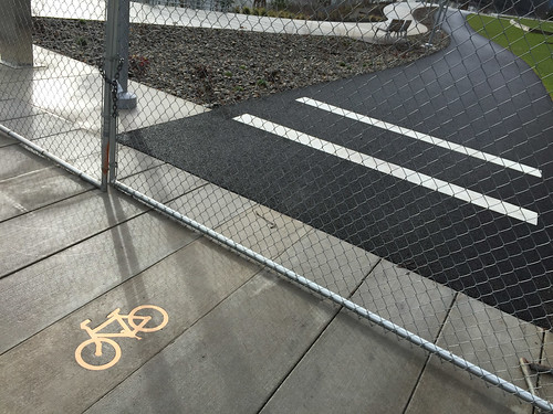
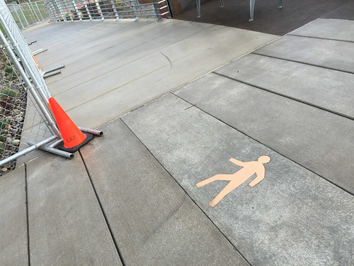
One thing I like about the design are the subtle markings. Note the classy, inlaid “bike” and “walk” symbols to direct folks to the appropriate path (these are so much better than paint or thermoplastic)…
Just north of Curry the walking path dives down a gradual ramp into the Willamette. This area will likely be busy as a kayak and canoe launch; and I have a feeling that some folks might tempted to launch off it a la the Cupcake Challenge…
Like I alluded to above, unfortunately this path comes to an abrupt end north of Curry St at the start of the Zidell Yards (a marine services company) under the Ross Island Bridge, tantalizingly close to another section of existing path…
And here’s a look at the southern terminus of the path, south of SW Gaines…
Overall, I was very impressed by the public art, the benches, and other furnishings. All are very high-end, built to last, and they make it clear to users that the City of Portland respects this space…
Now our challenge is to connect this path to other sections of the existing Willamette River Greenway path to the south and the north. Hopefully that won’t take another 10 years.
— Learn more about this project at the Portland Parks & Recreation website.


