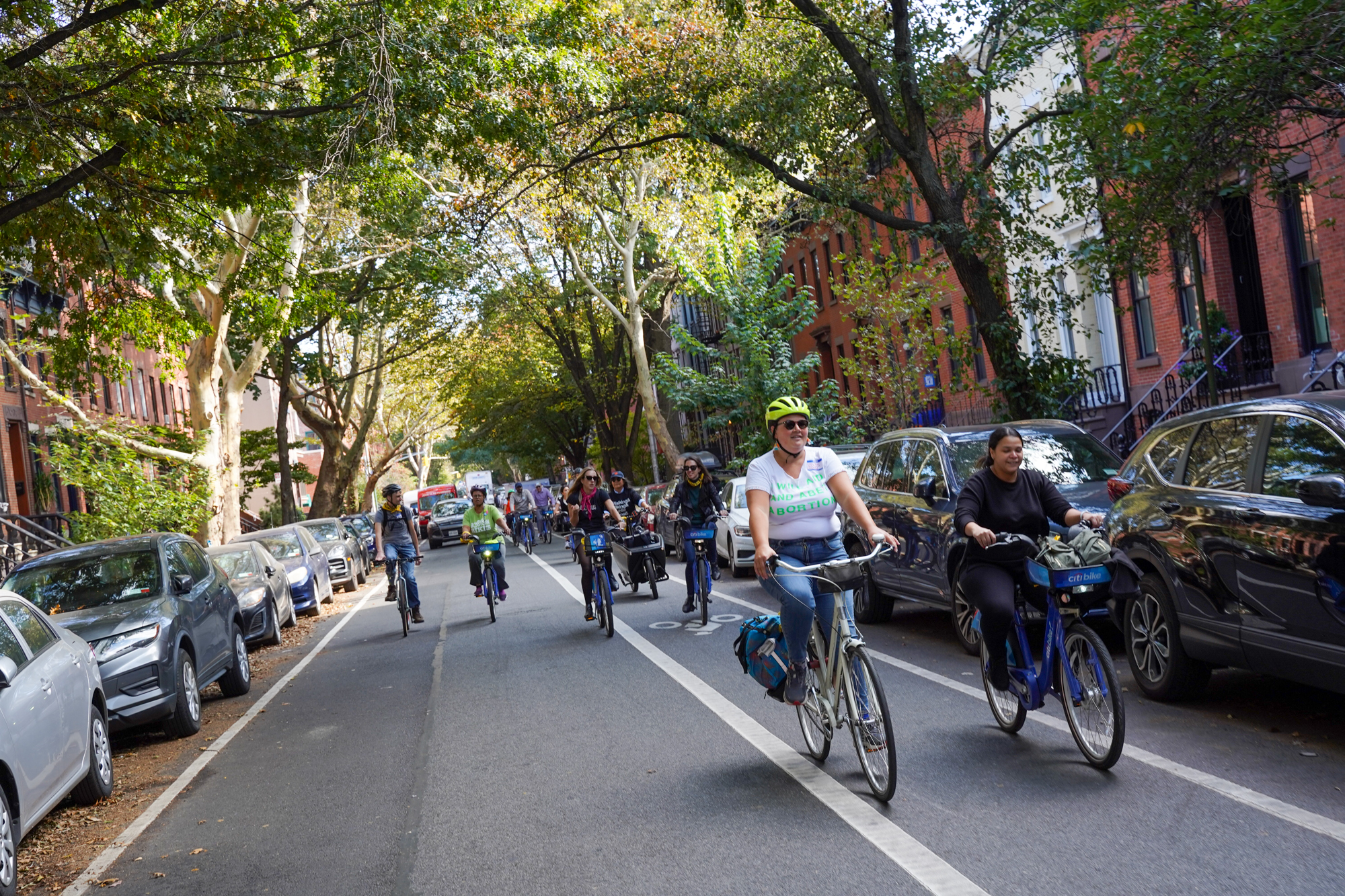
Fresh kermit in Brooklyn. (Photos: Jonathan Maus/BikePortland)
During my time in New York City last month, I soaked up a lot of different bike infrastructure. You might have seen it make cameos in some of my previous videos or photos. But there were a bunch of images that I hadn’t shared until now. This post has 60 or so photos of the various types of bikeways you’ll find in Manhattan (with a smattering of images from Brooklyn).
Overall, I was impressed at the quantity of bike infrastructure and the clear priority NYC’s DOT is giving bikes (and buses for that matter). But the quality of the bikeways was often unpredictable and navigating most parts of the network still demands a level of riding ability and risk-aversion that unfortunately puts a ceiling on the number (and demographics) of folks who will ride. As I look through the images below and think back to my time there, I think what’s hurting NYC from a cycling perspective is less about the quality and volume of bike-specific infrastructure and more about the fact that — despite laudable efforts at traffic calming, large-scale pedestrianization, transit priority lanes, daylighting, and so on — there are still simply way too many drivers and cars.
The big lesson from NYC (which holds true in Portland and every American city), is that until you reach a certain tipping point in street design and network permeability that forcibly keeps drivers and cars out of the system, almost no amount of bike infrastructure will feel safe for the majority of people.
Scroll down to see how bikeways are looking in NYC these days. I think you’ll be simultaneously jealous and appalled. (Read captions for more information about each image.)
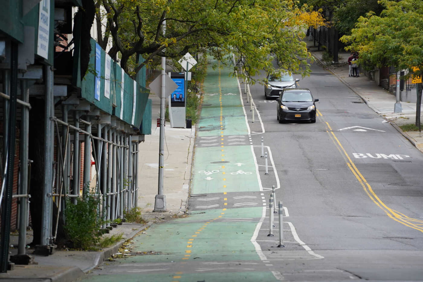
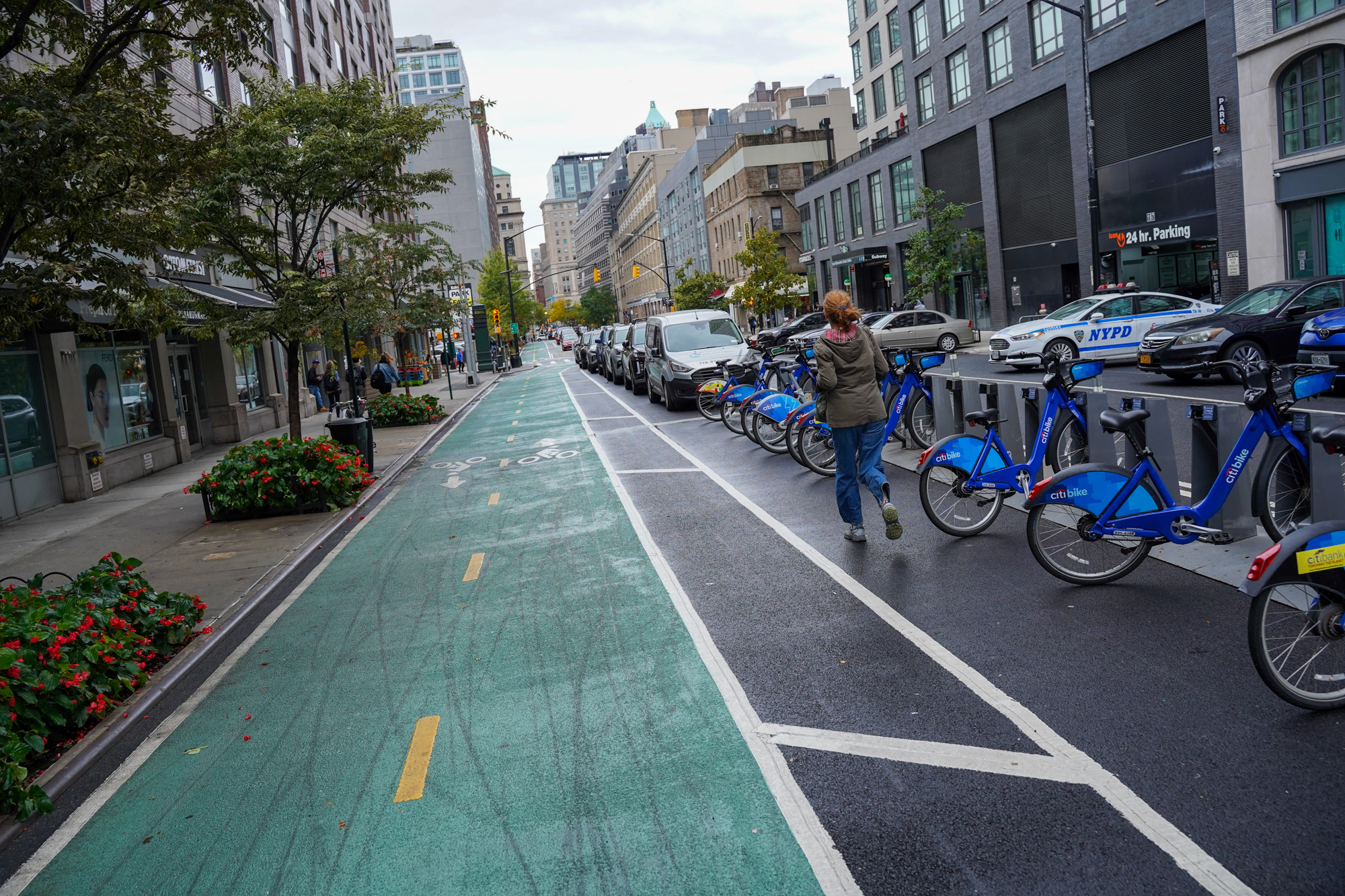
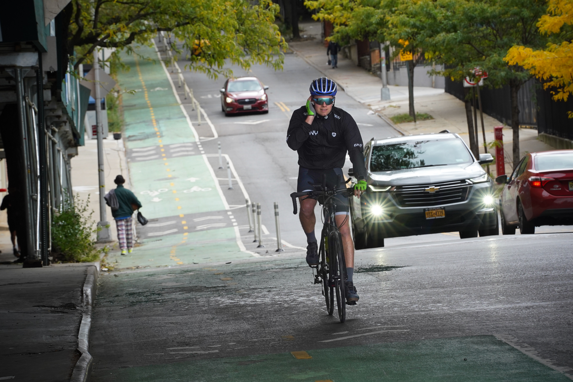
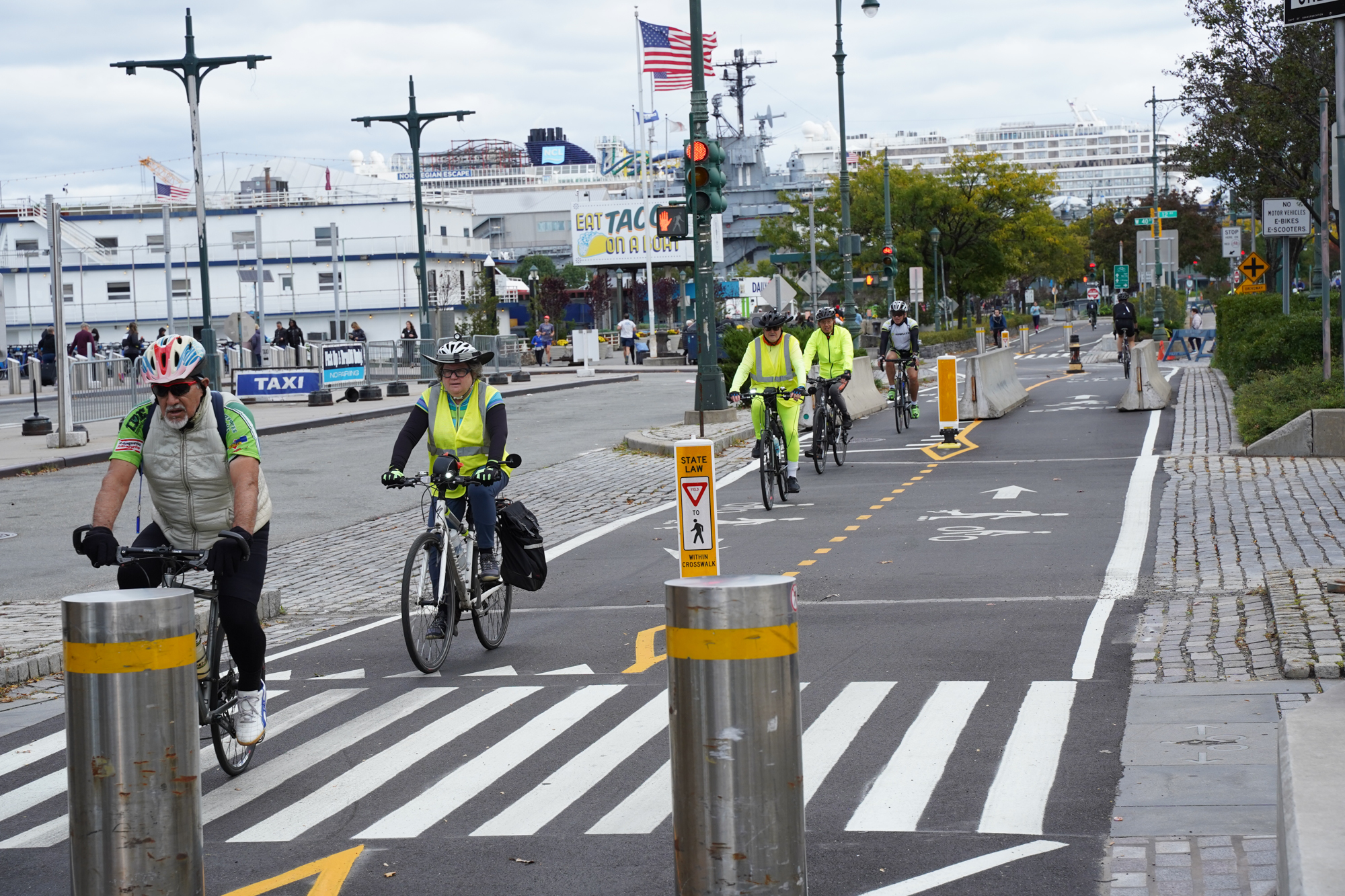
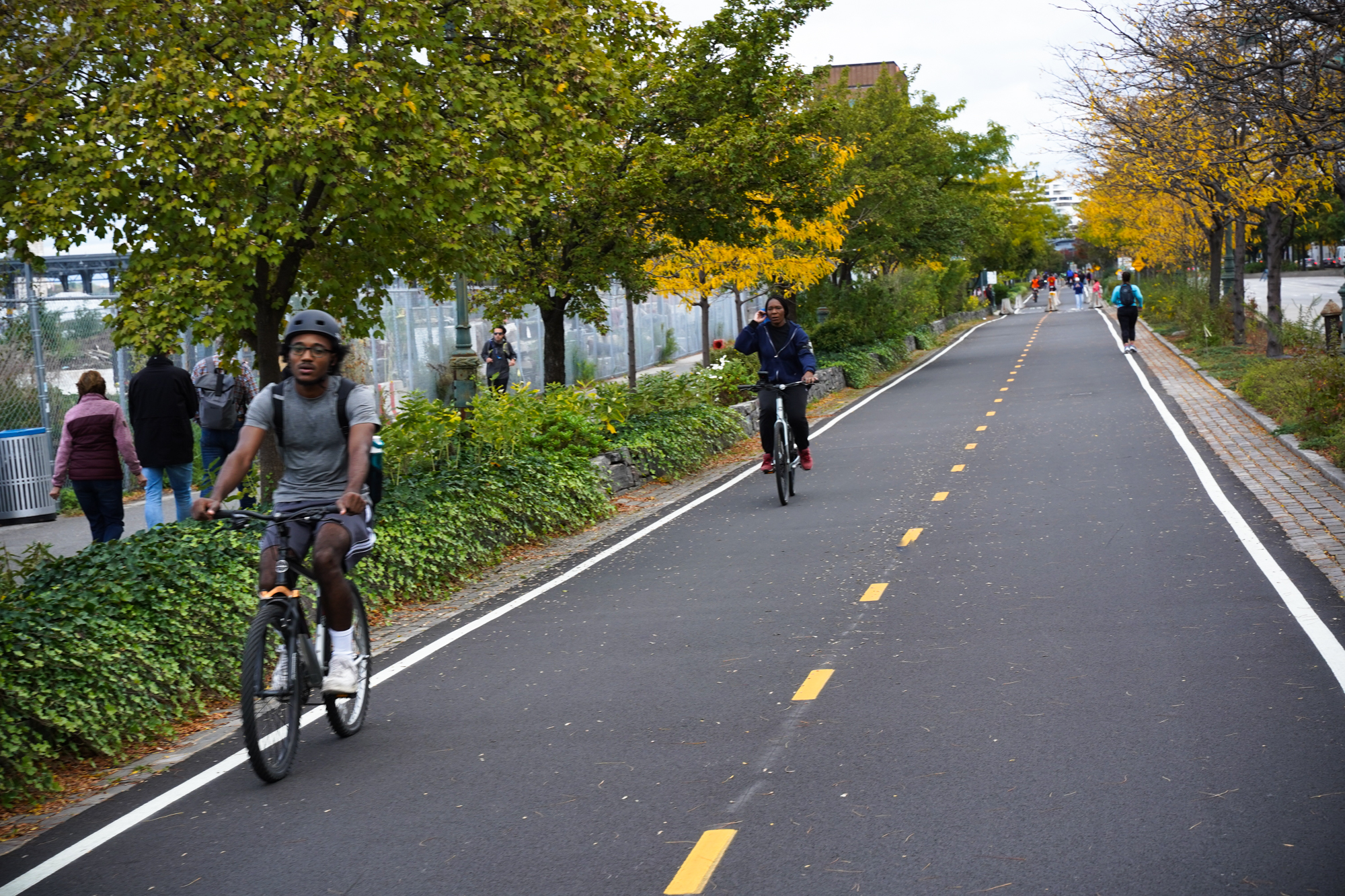
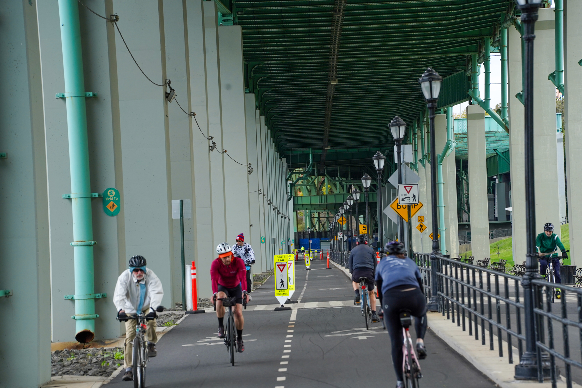
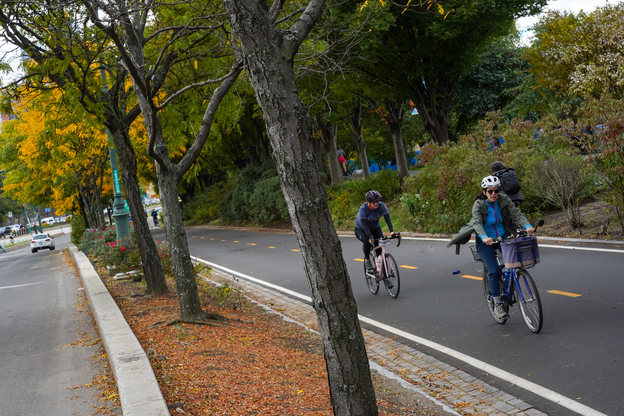
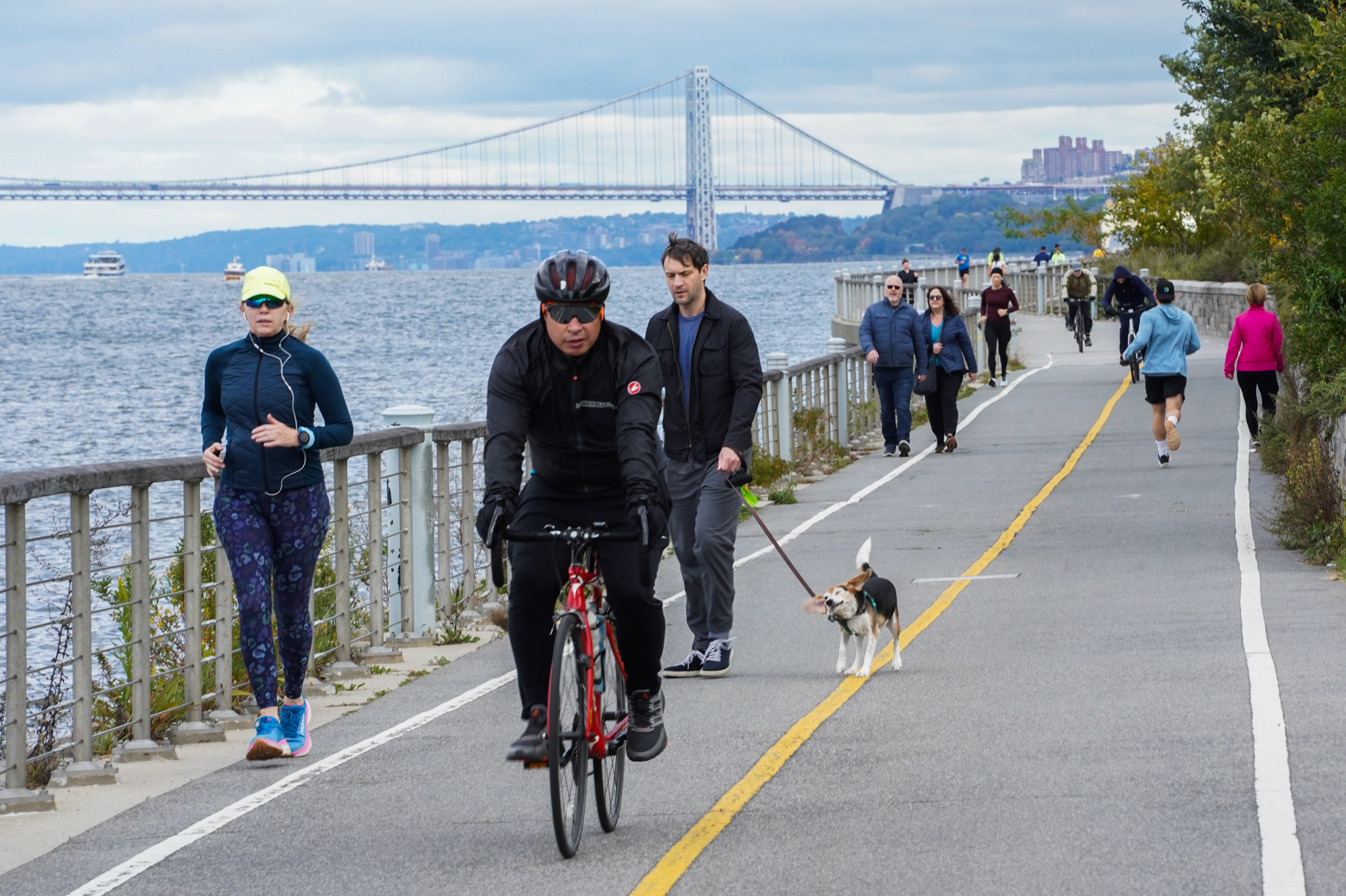
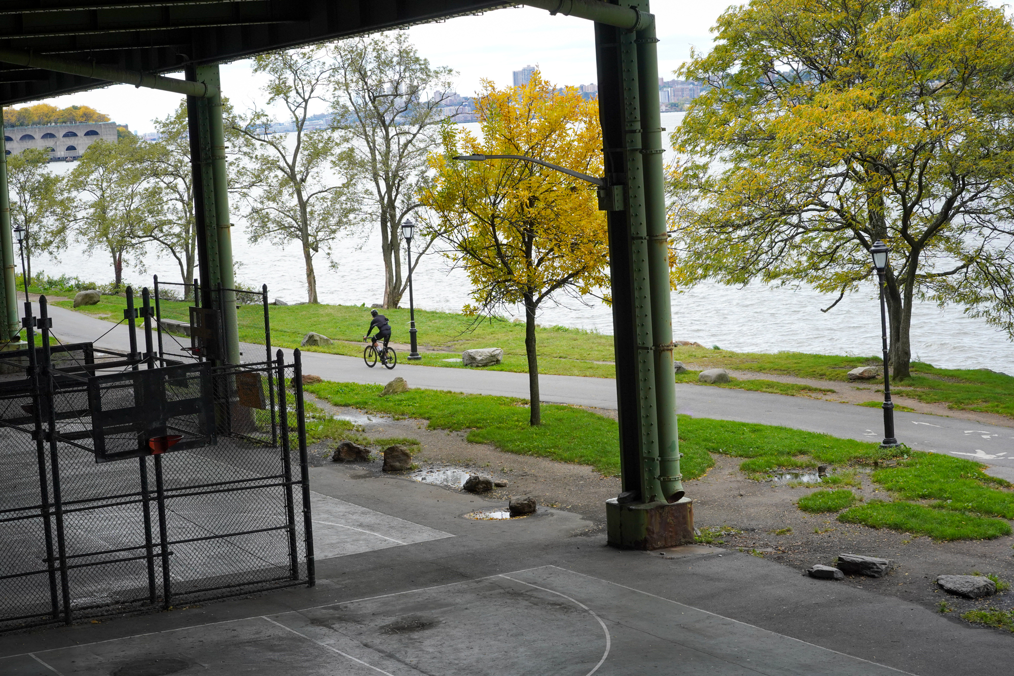
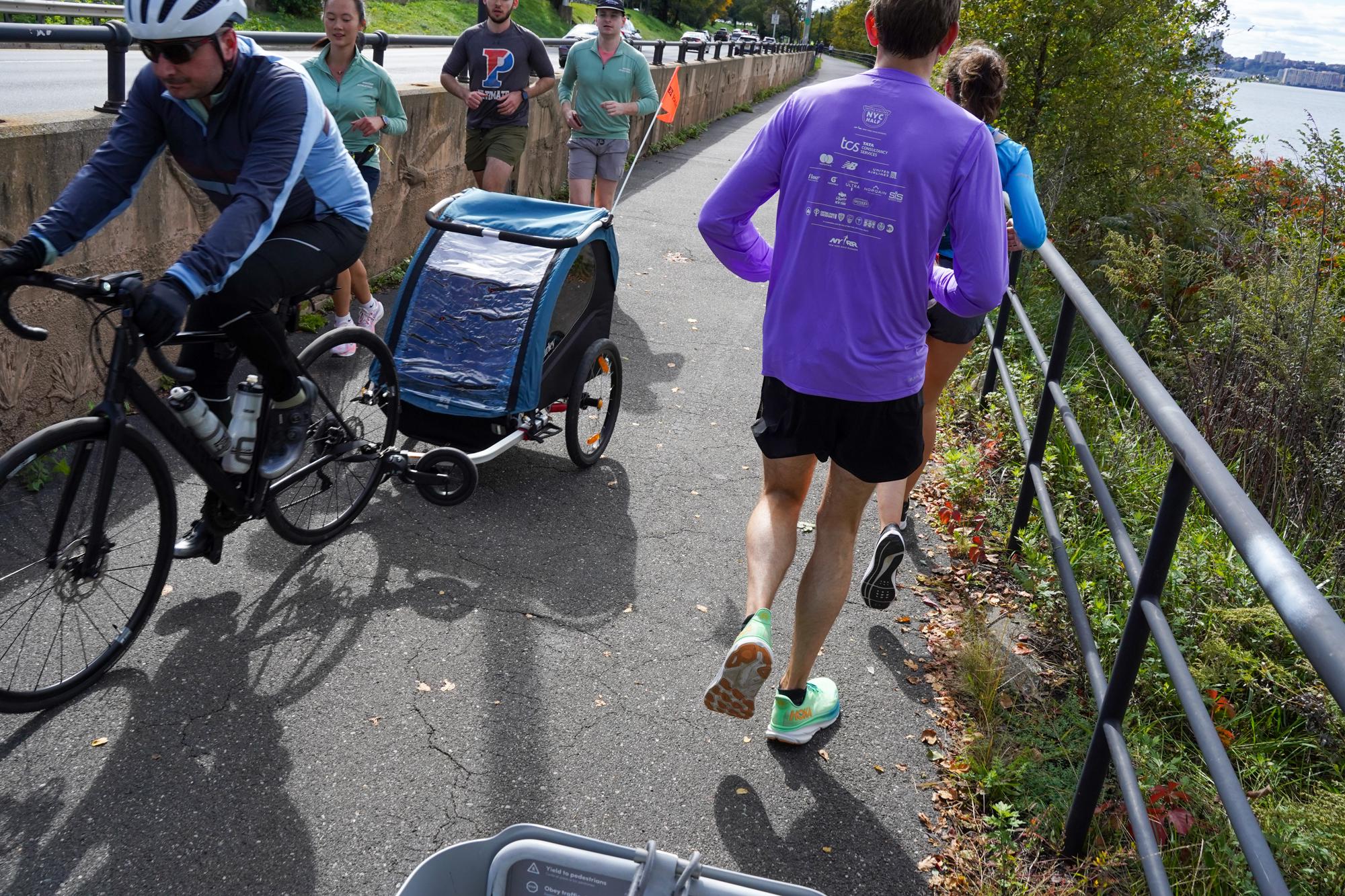
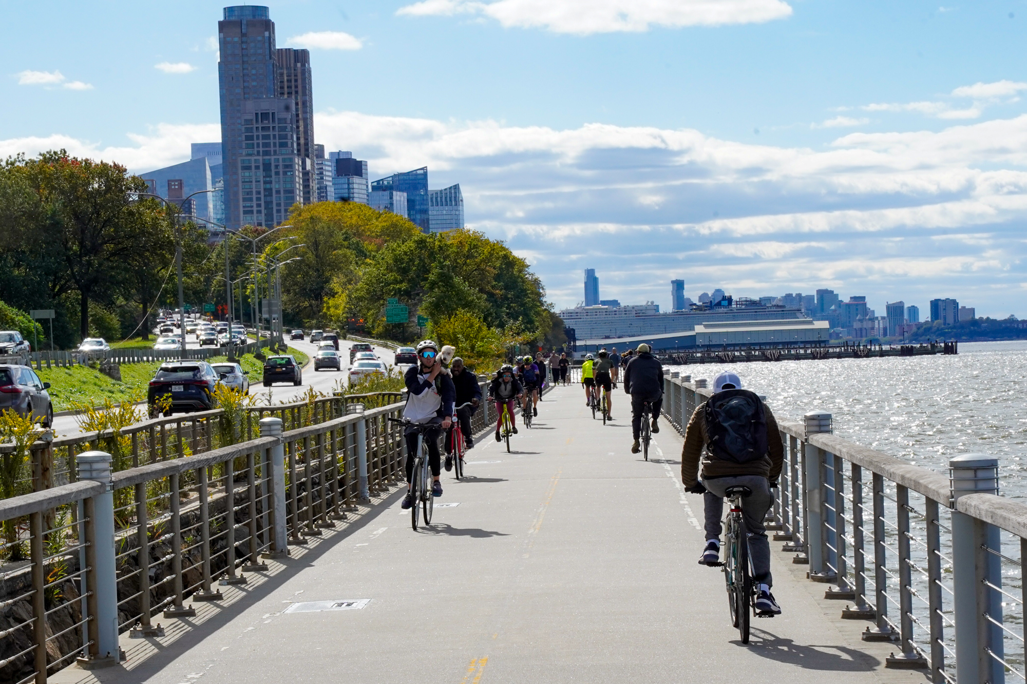
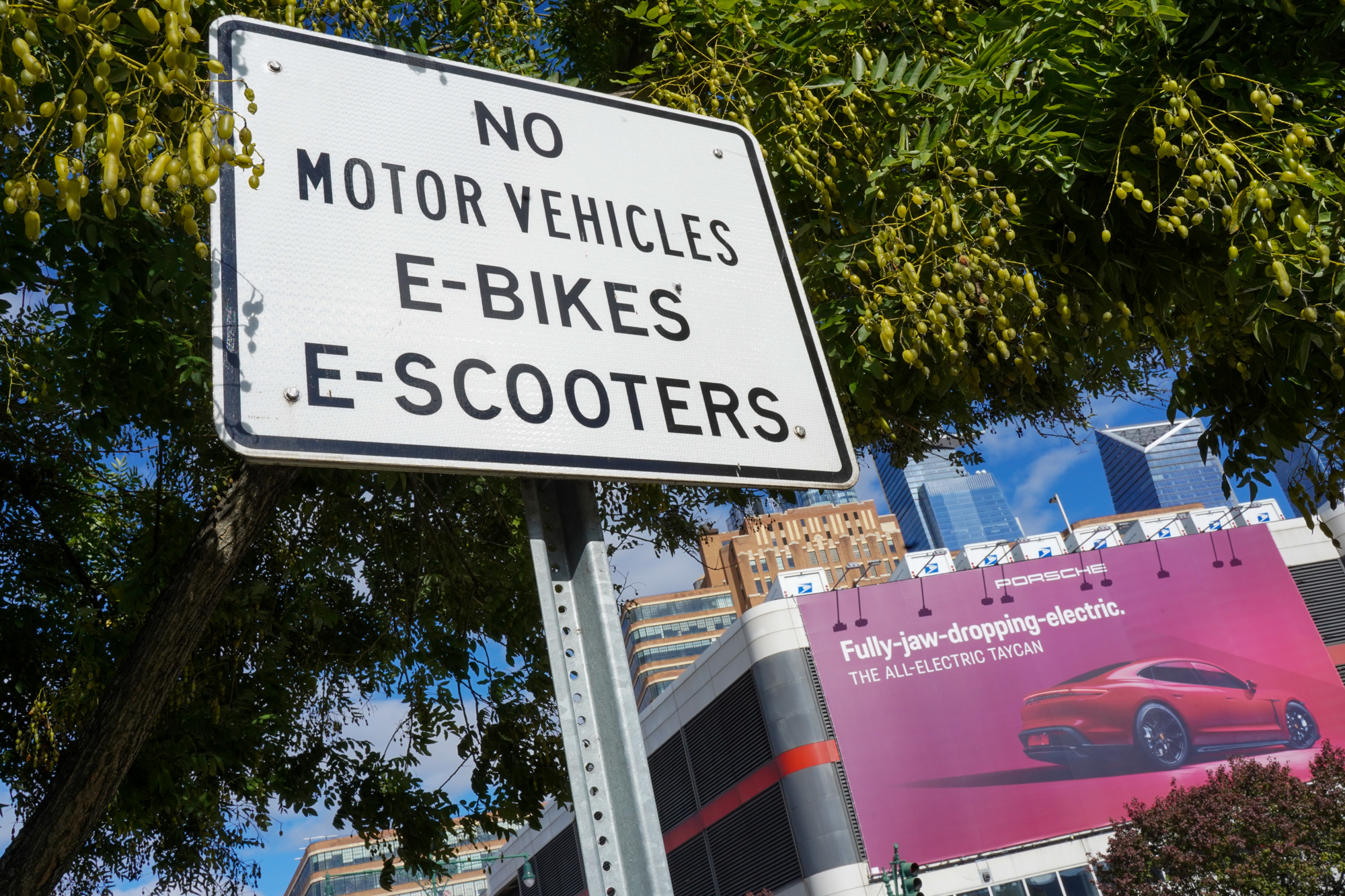
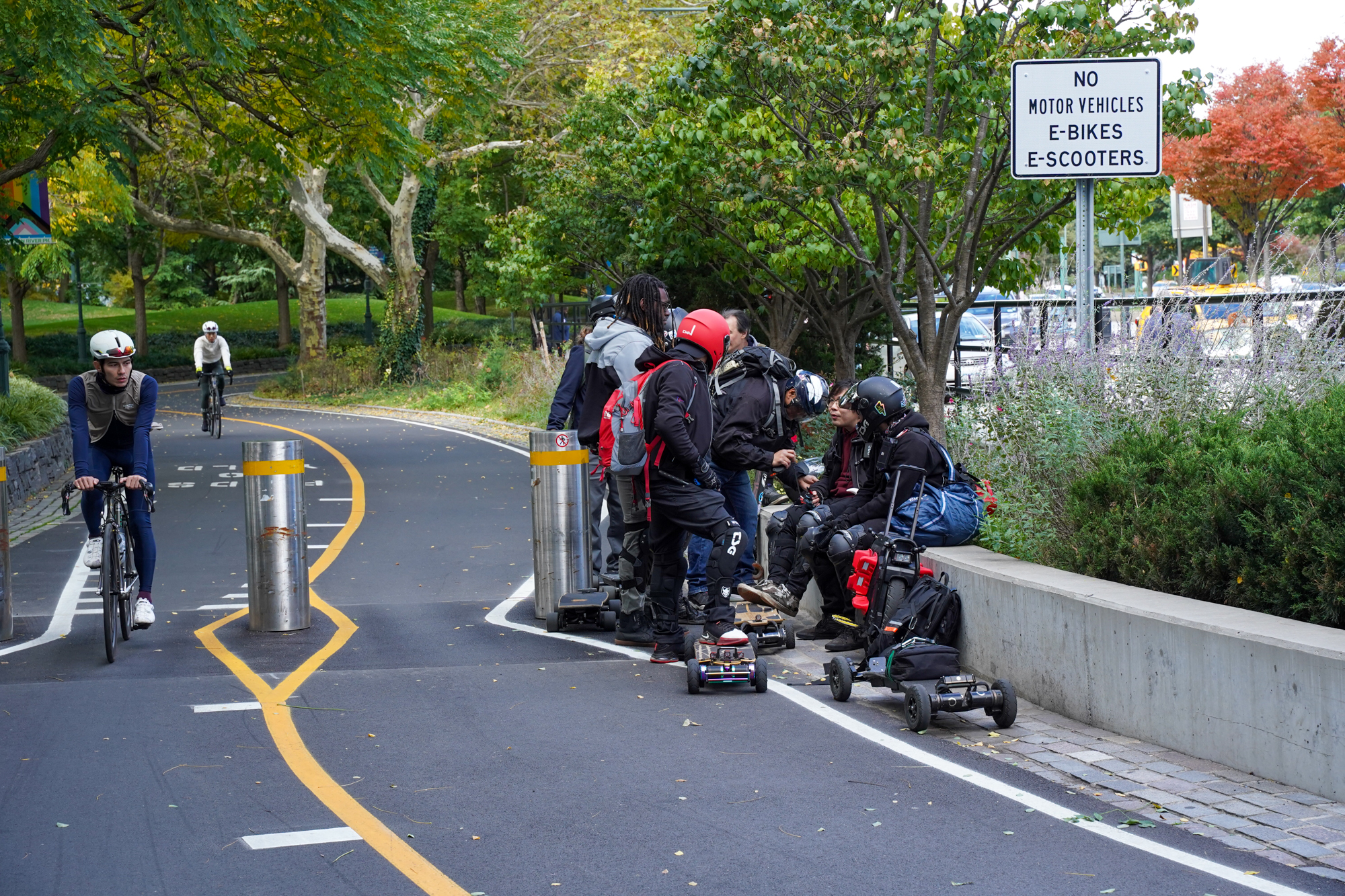
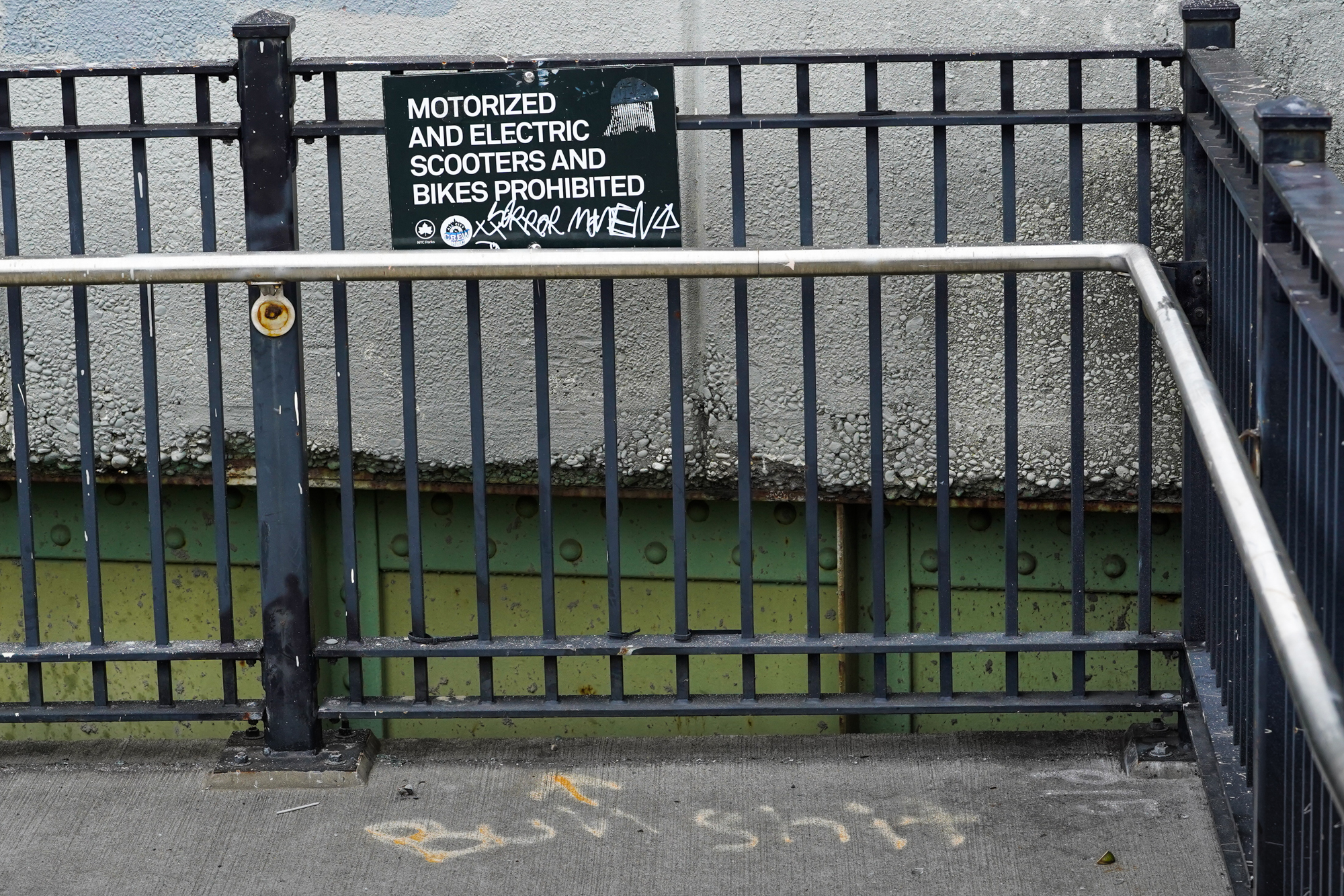
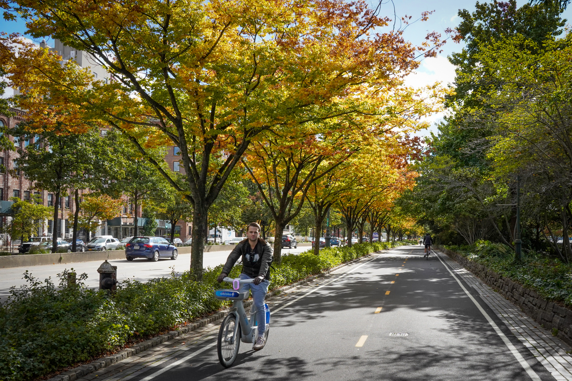
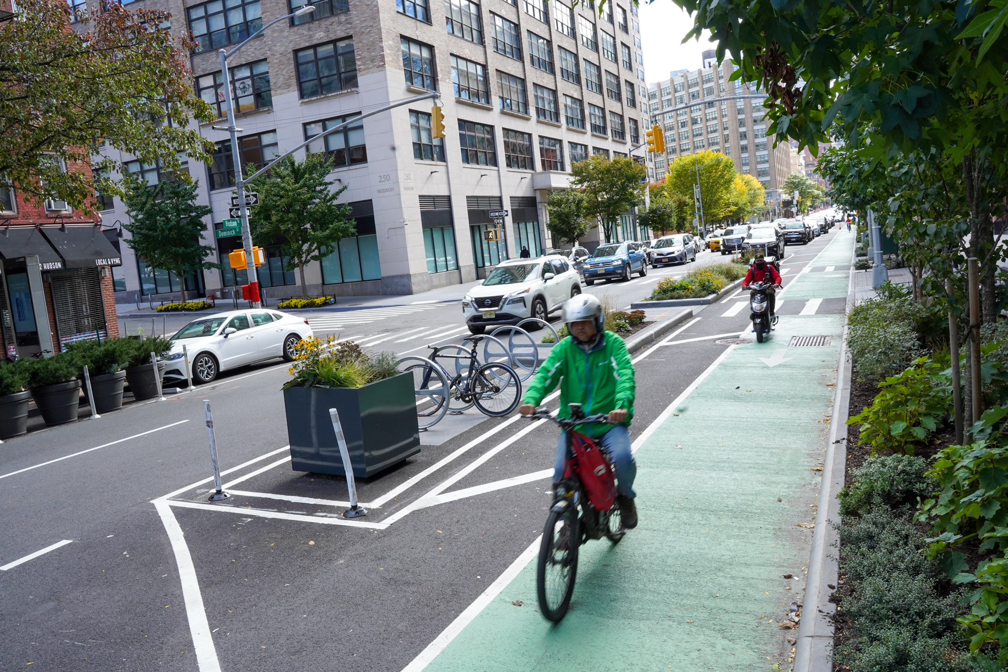
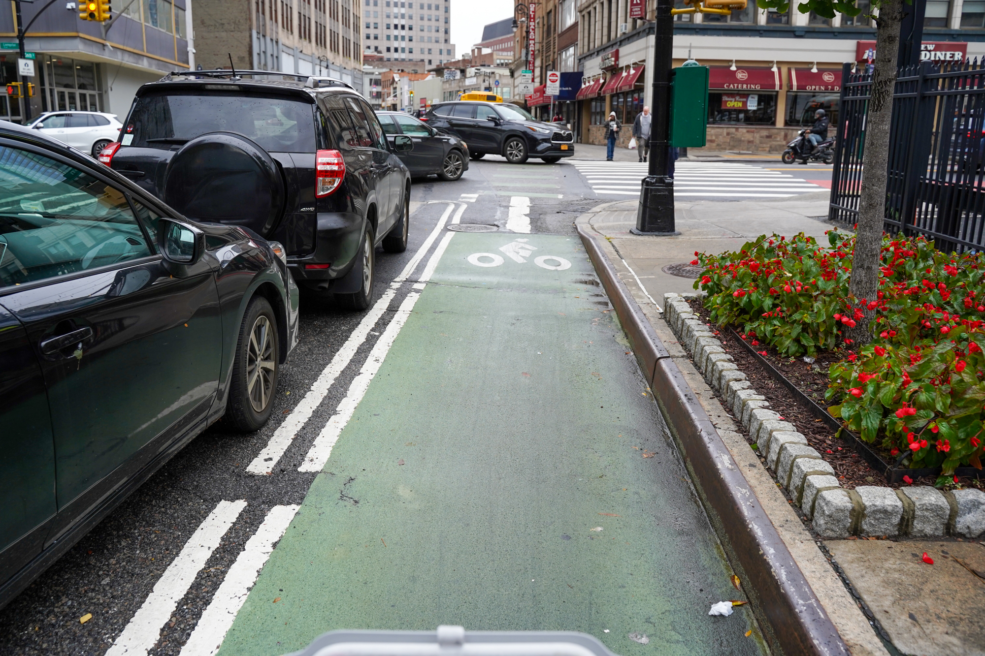
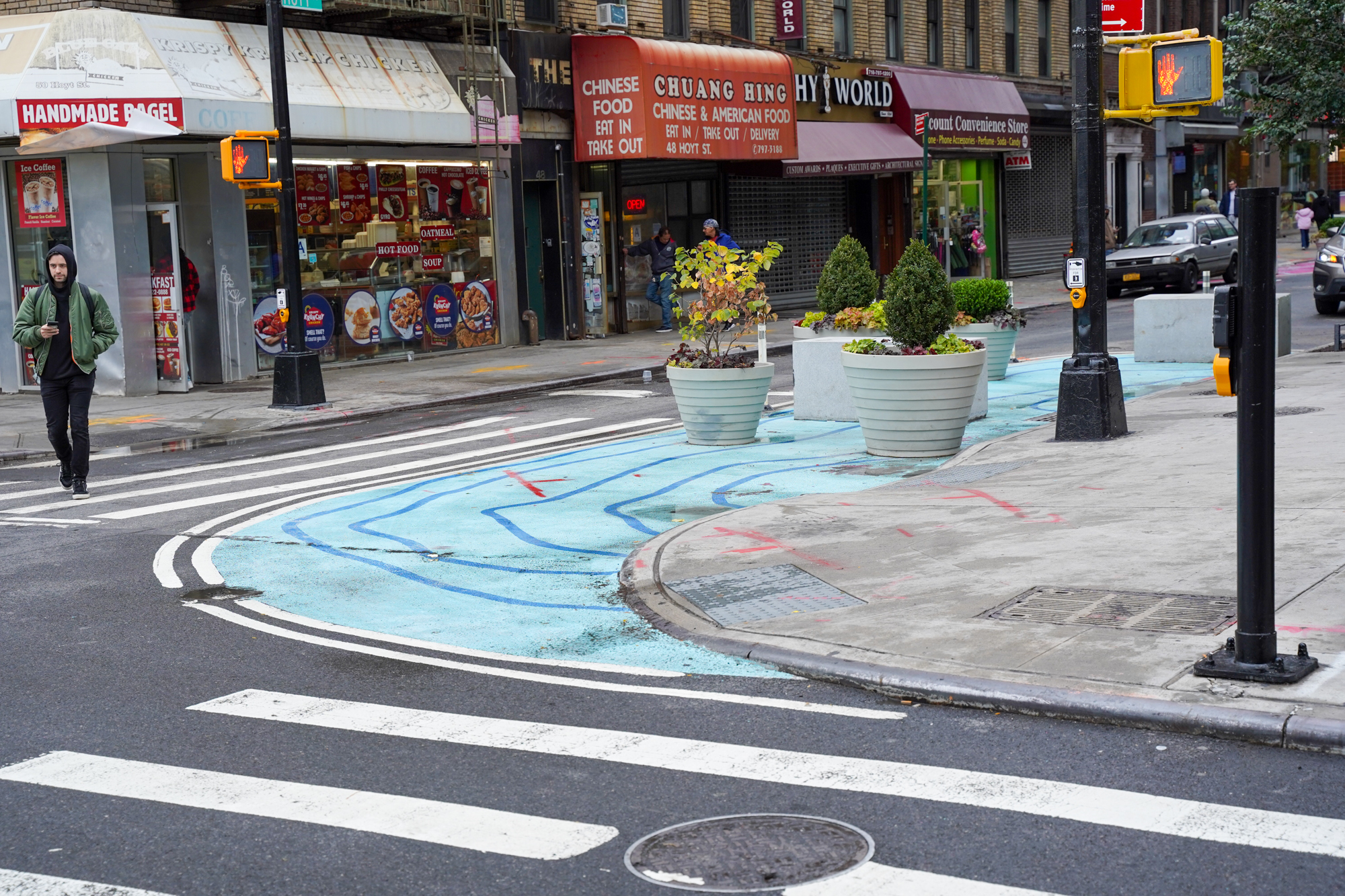
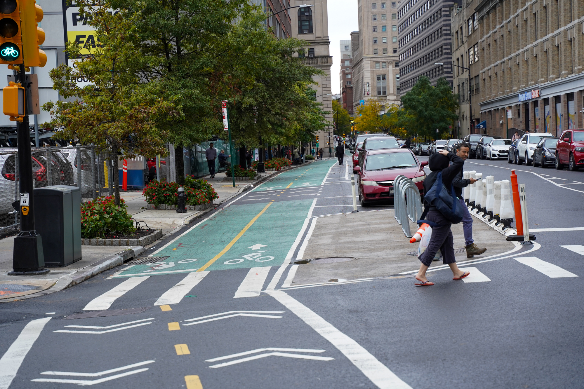
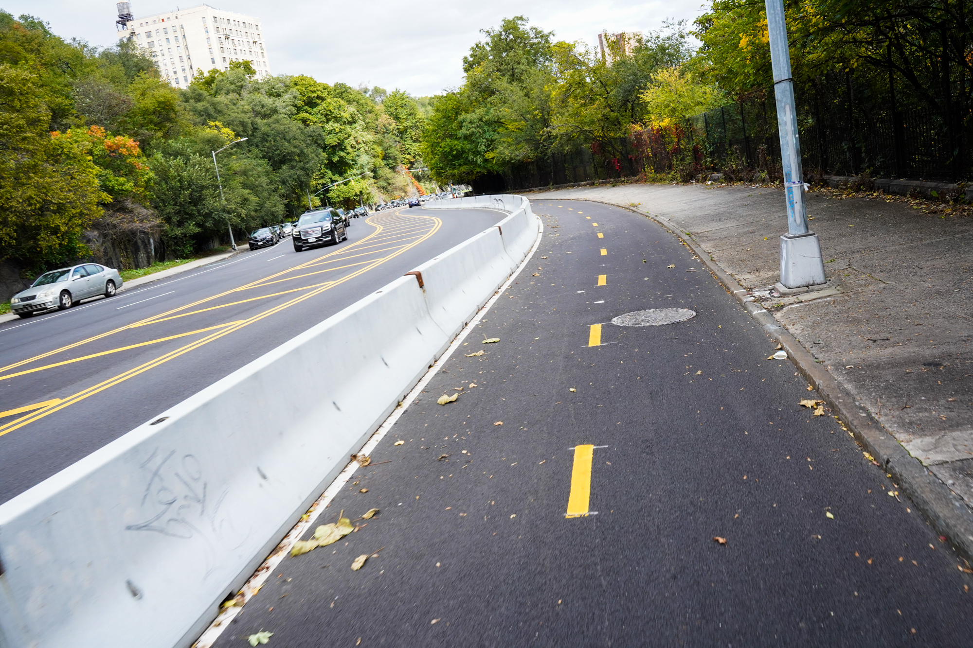
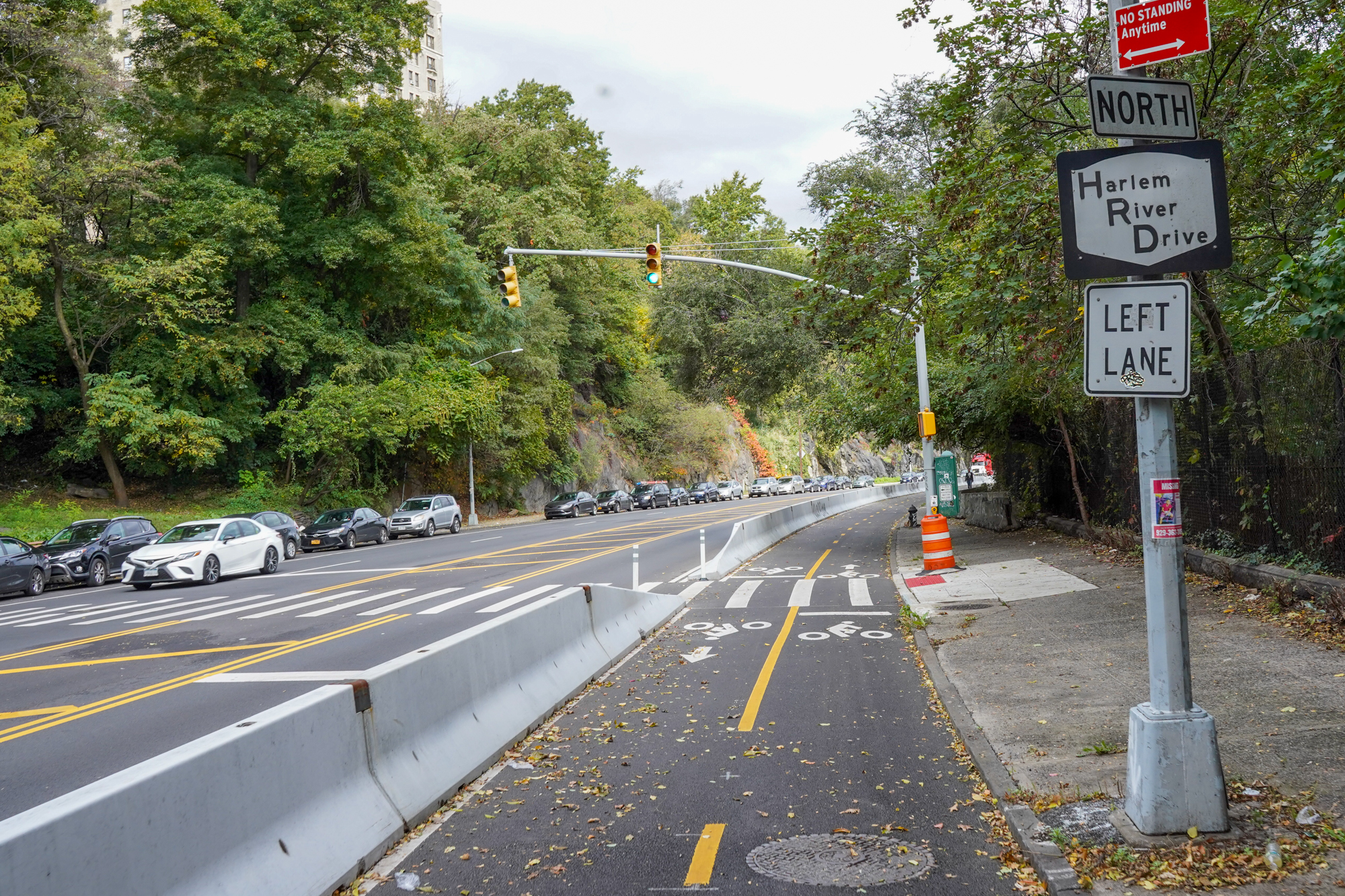
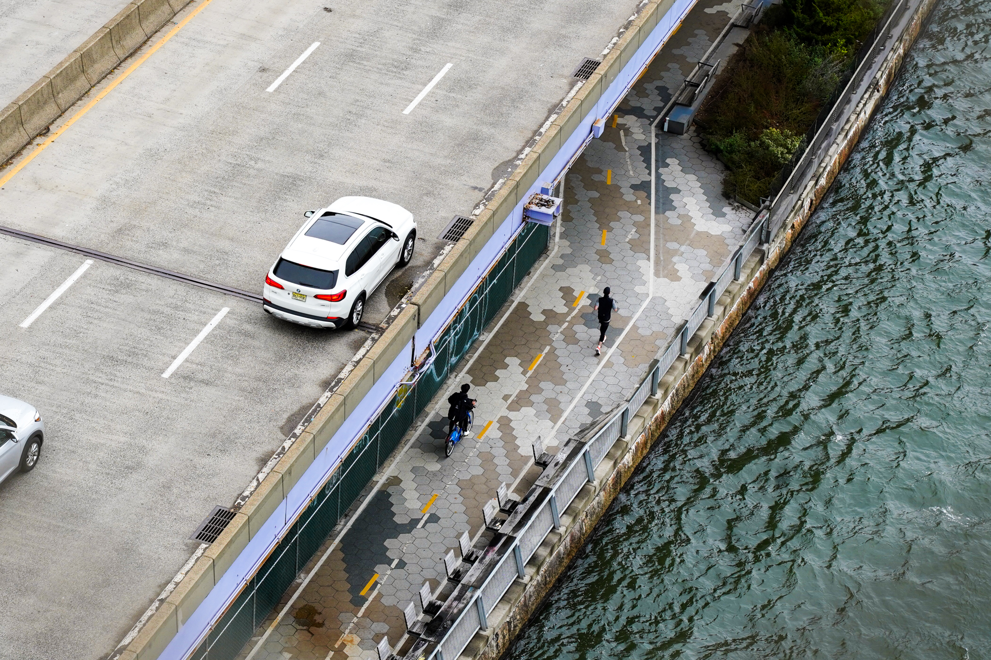
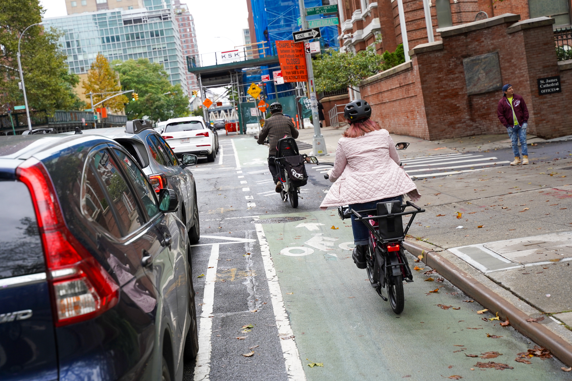
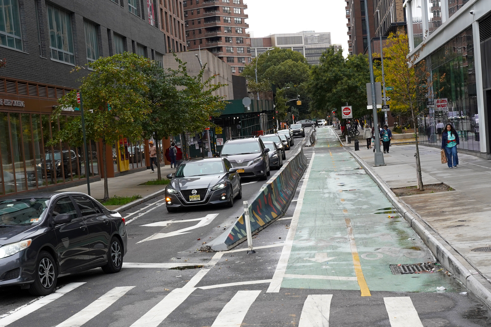
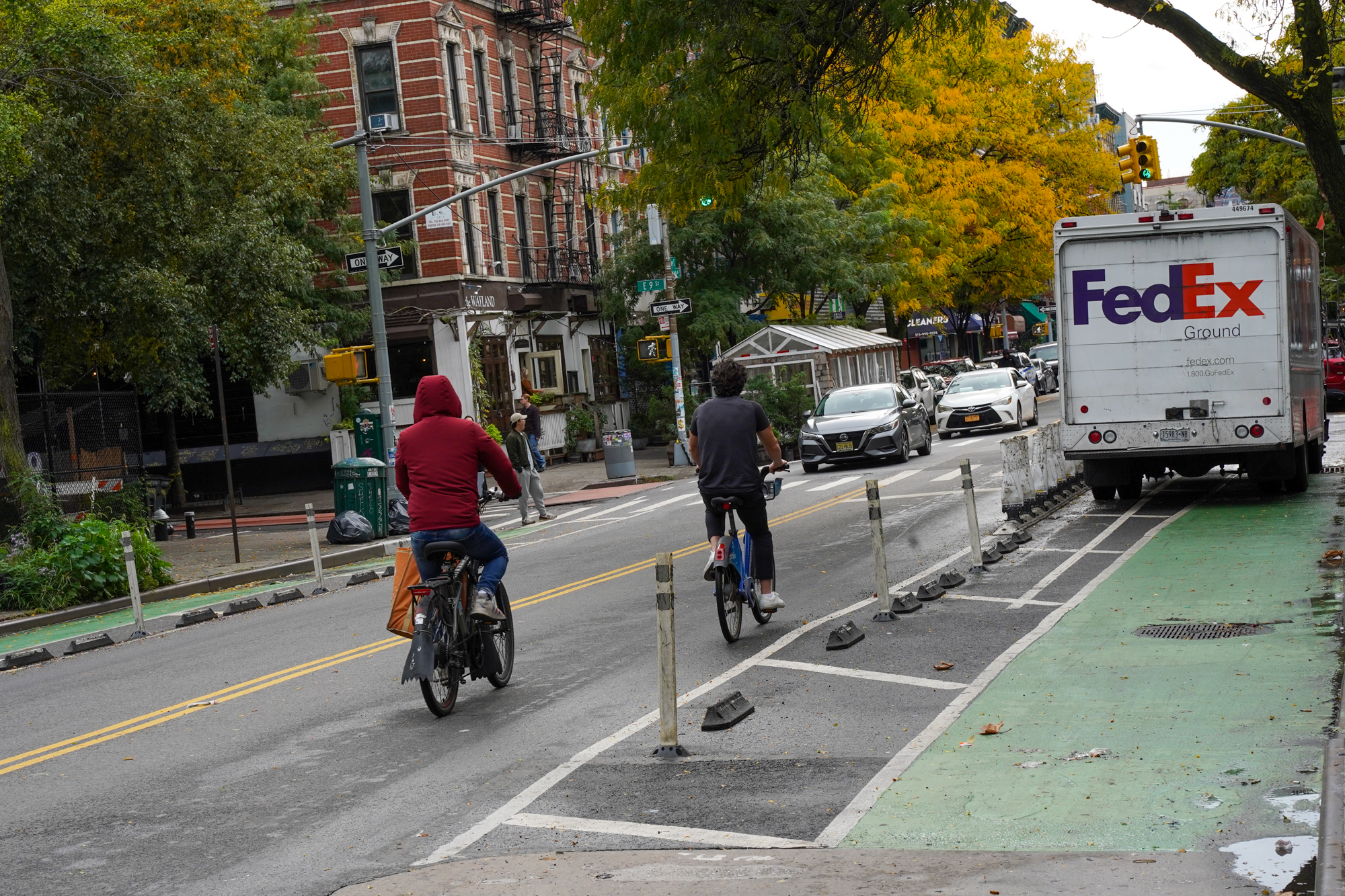
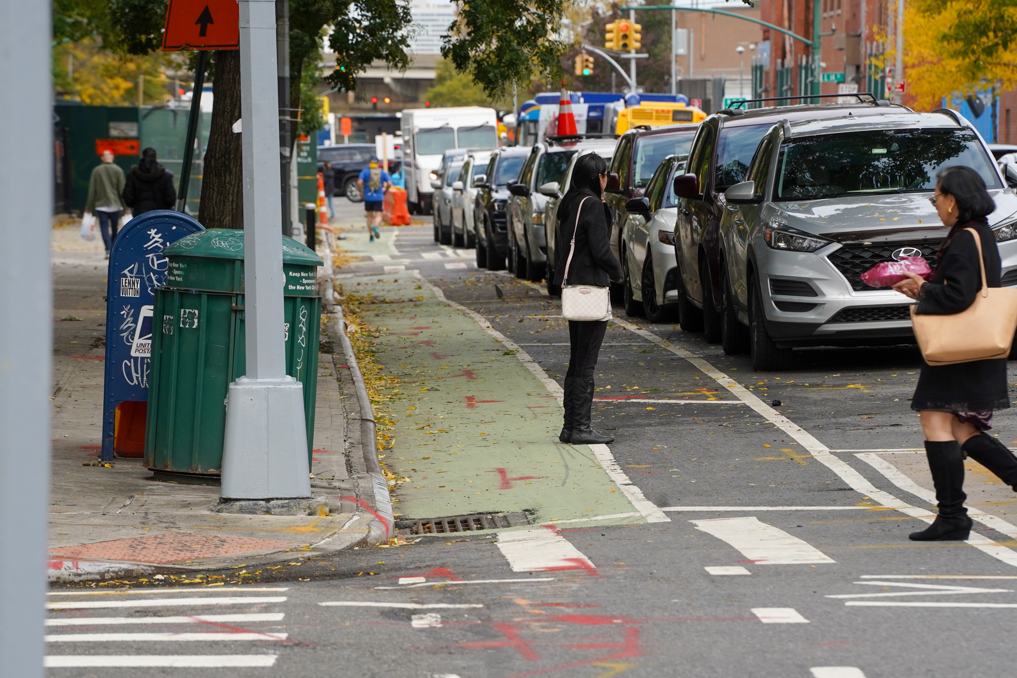
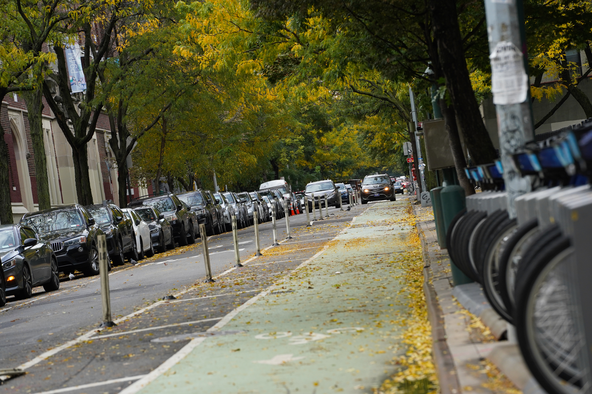
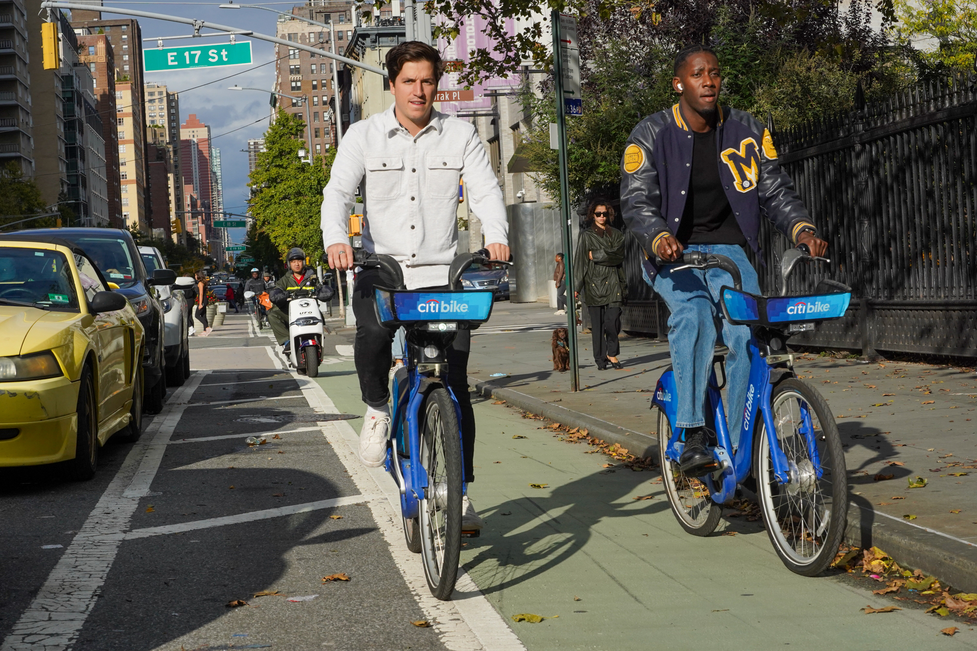
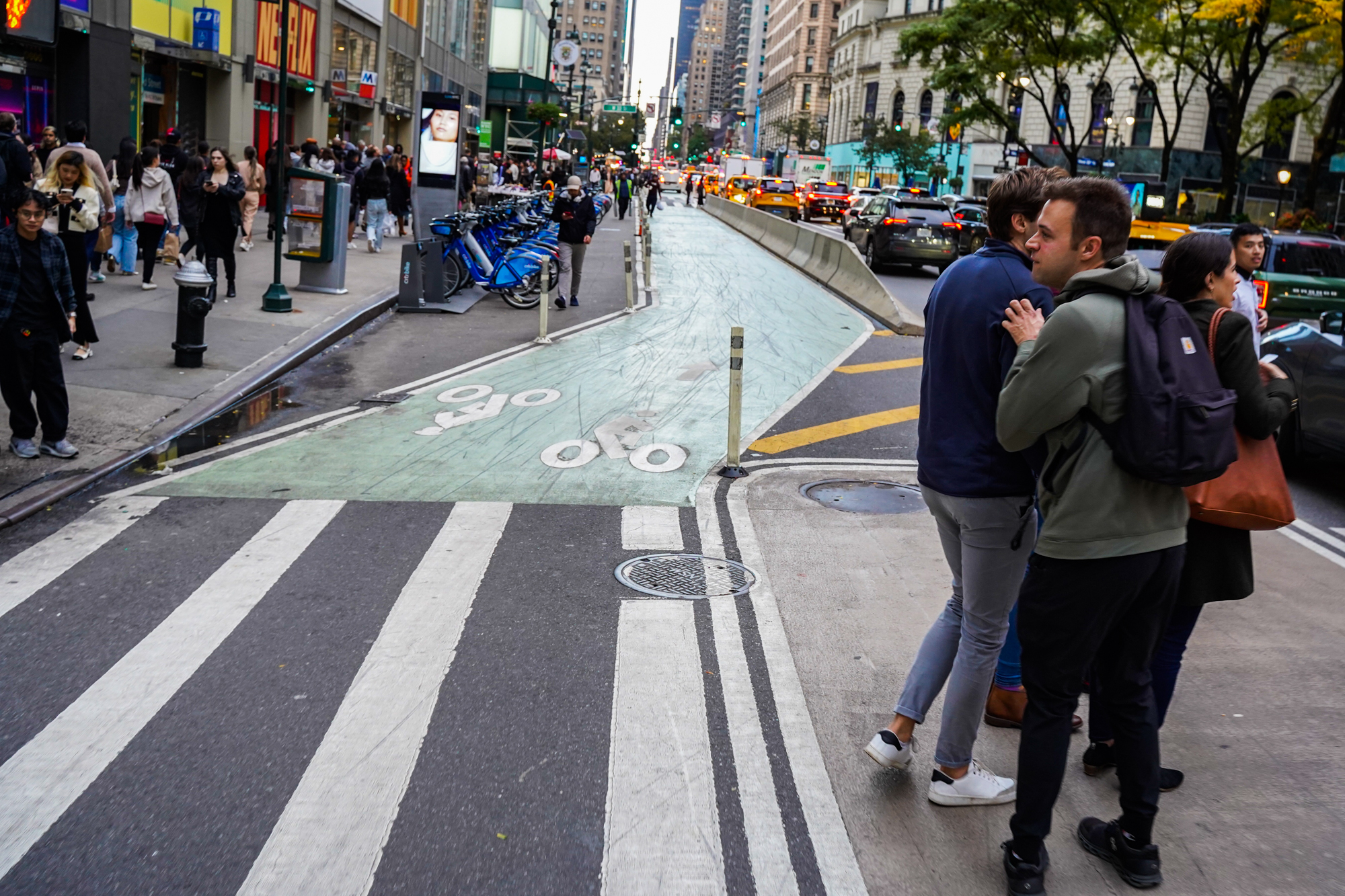
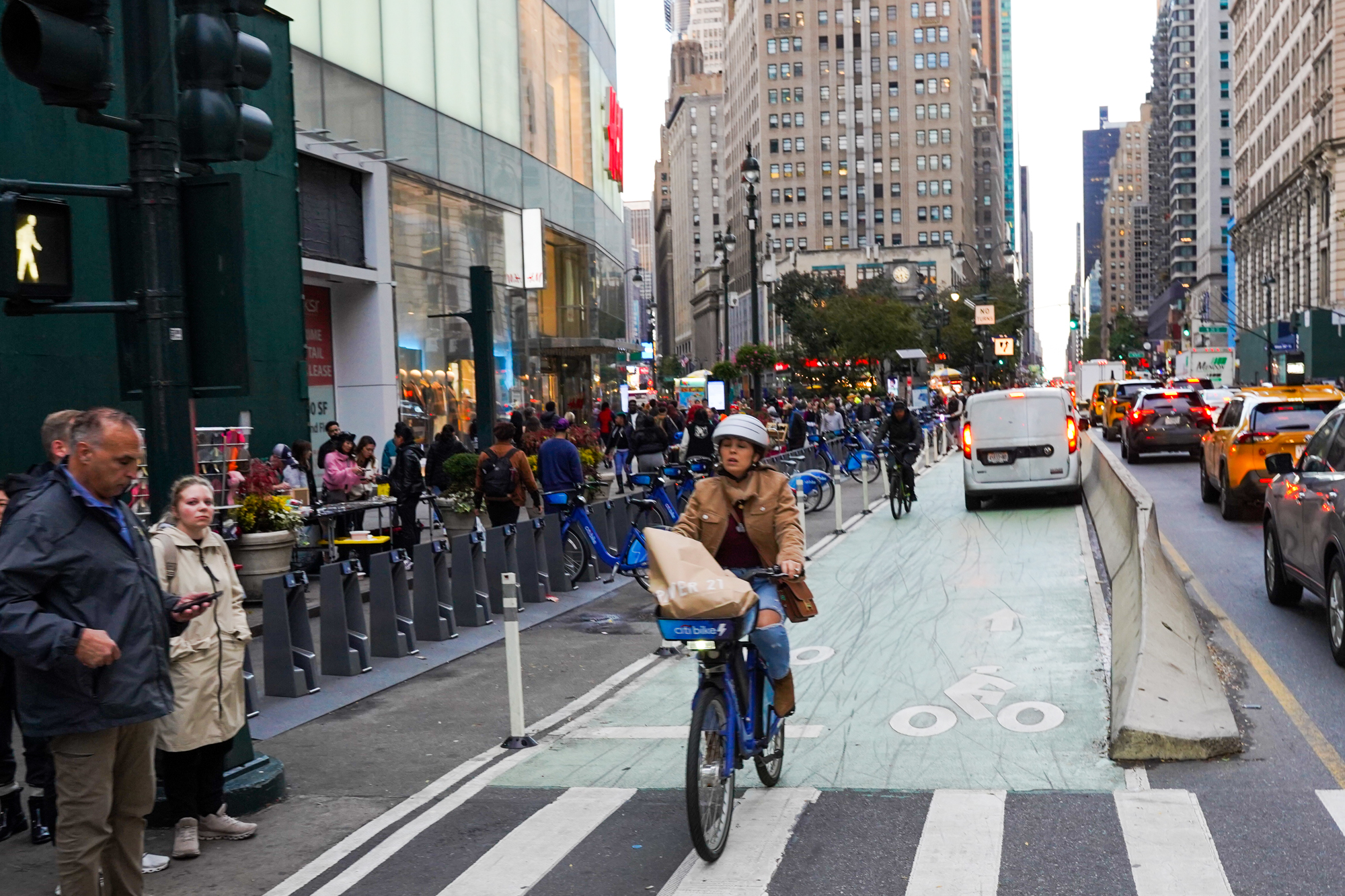
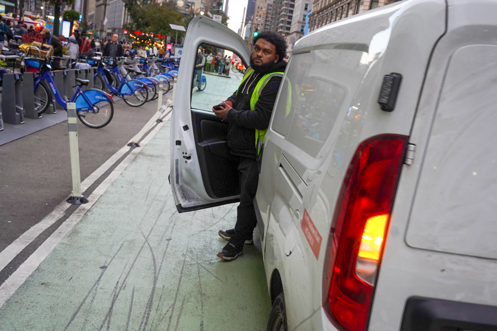
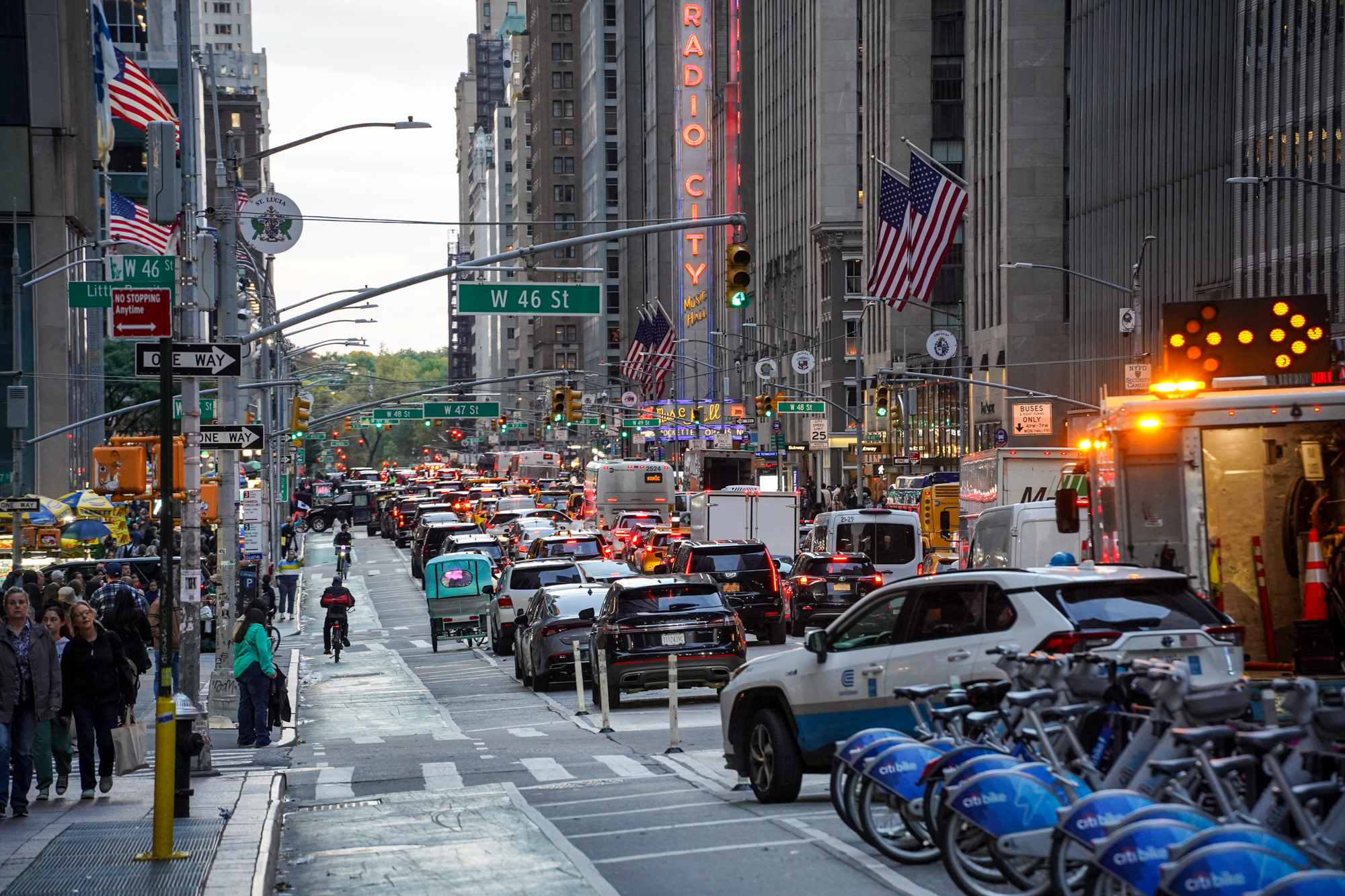
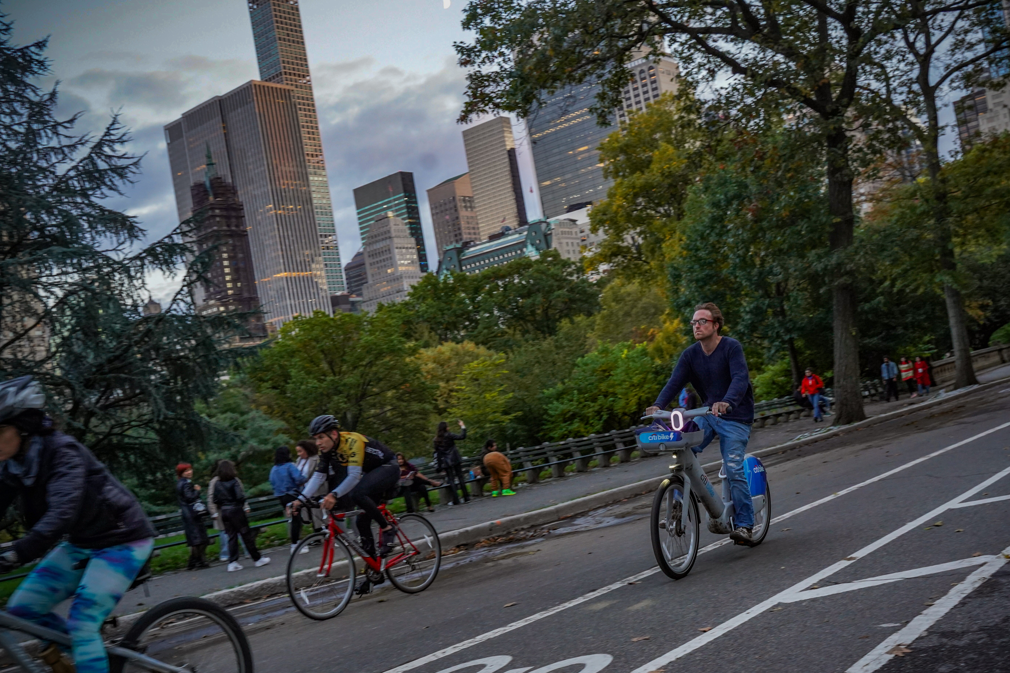
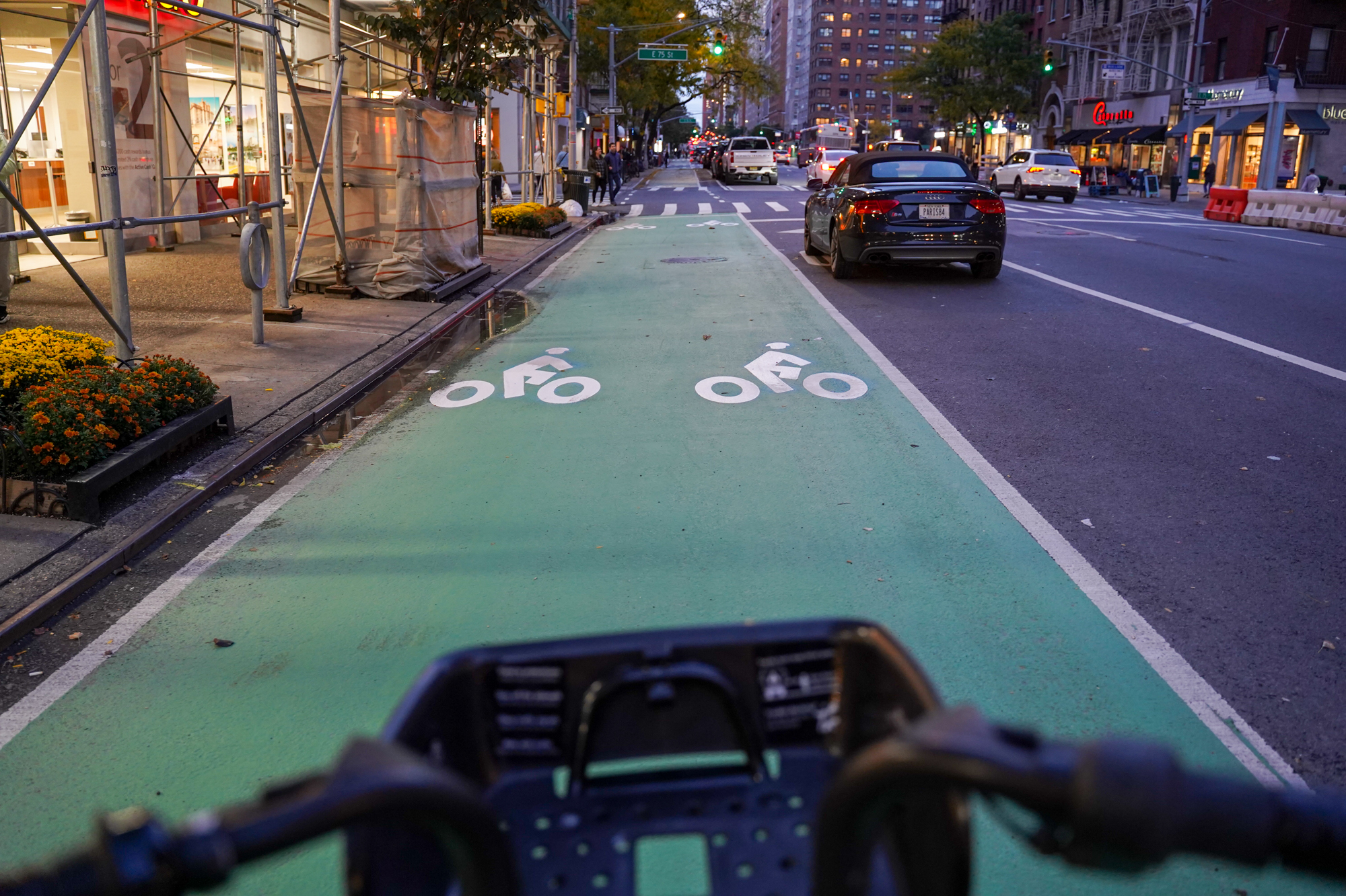
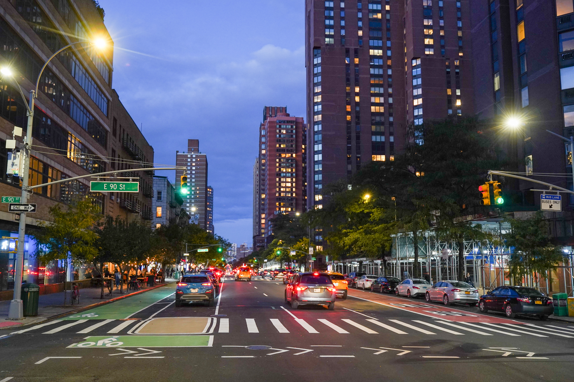
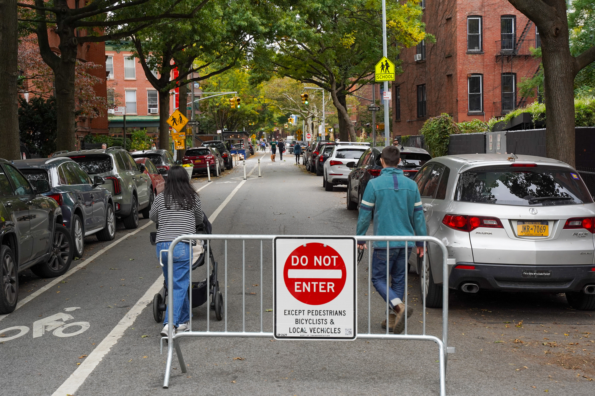
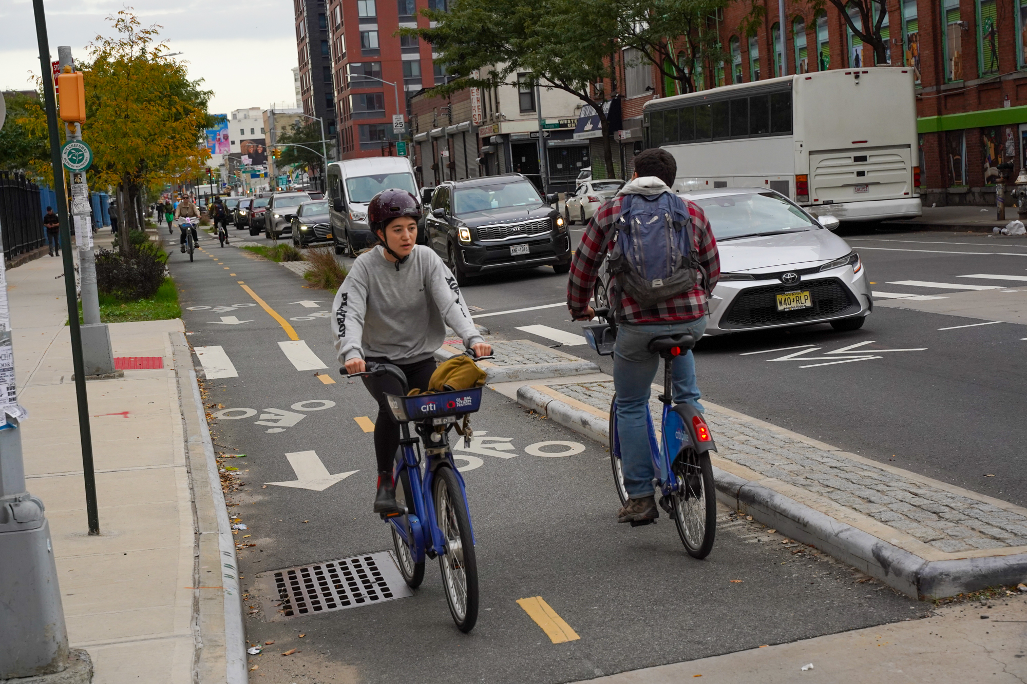
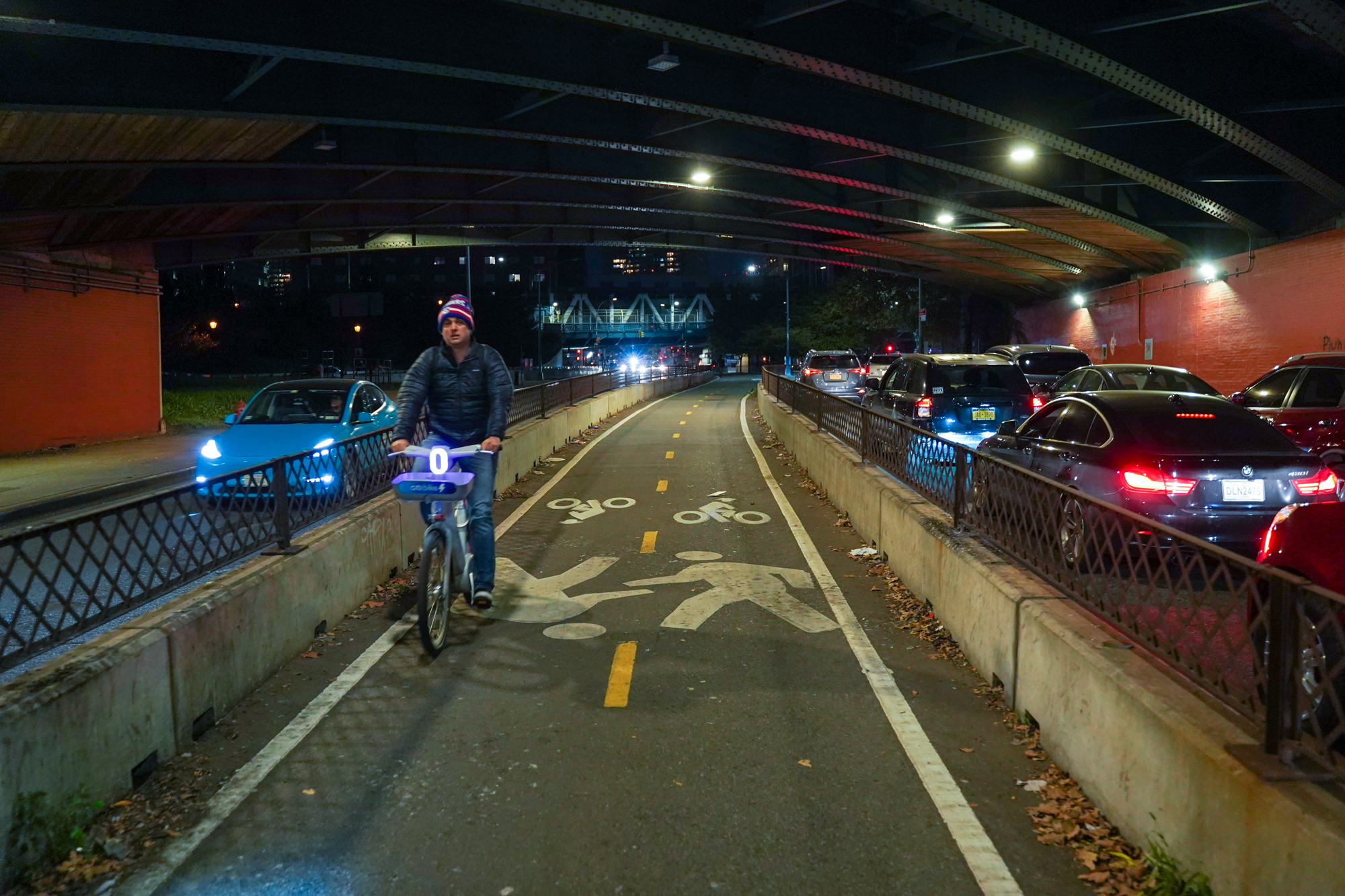
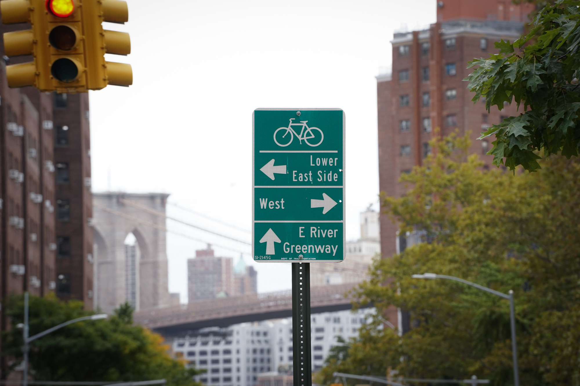
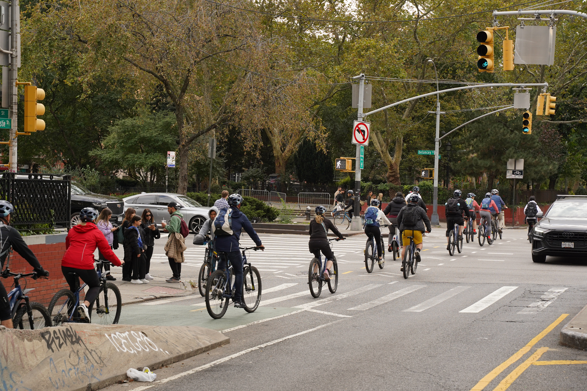
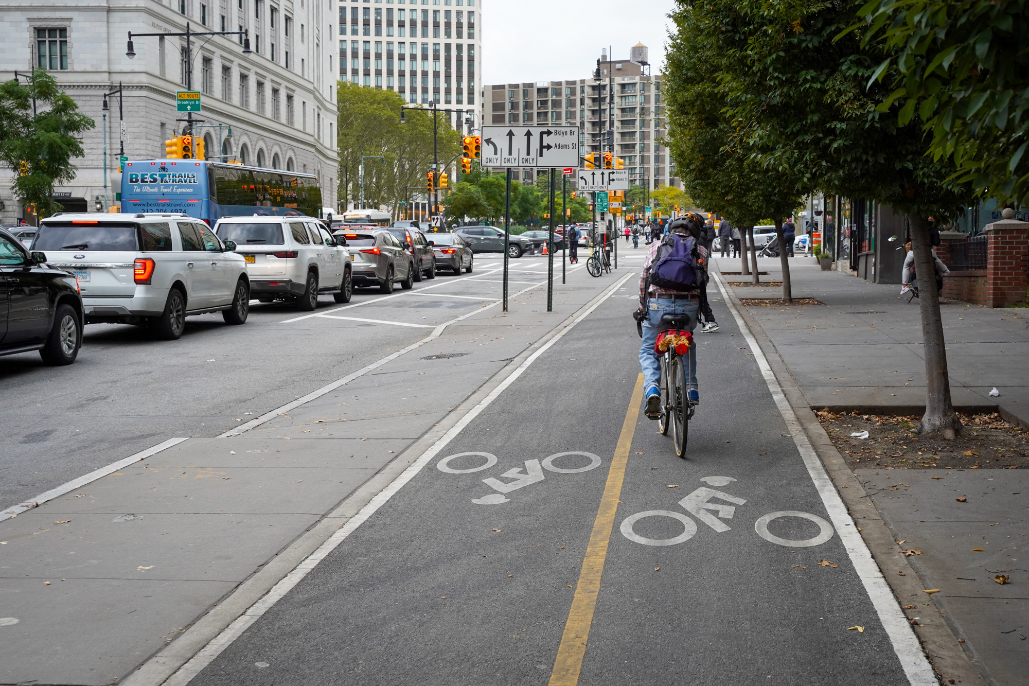
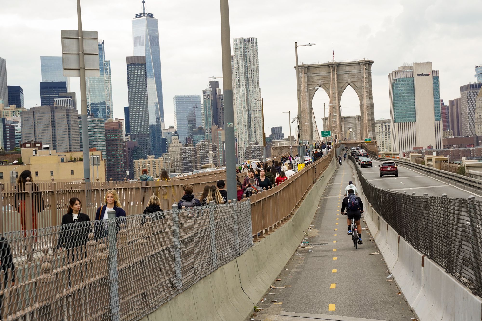
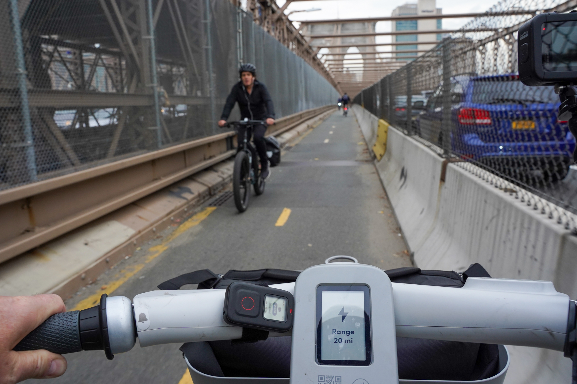
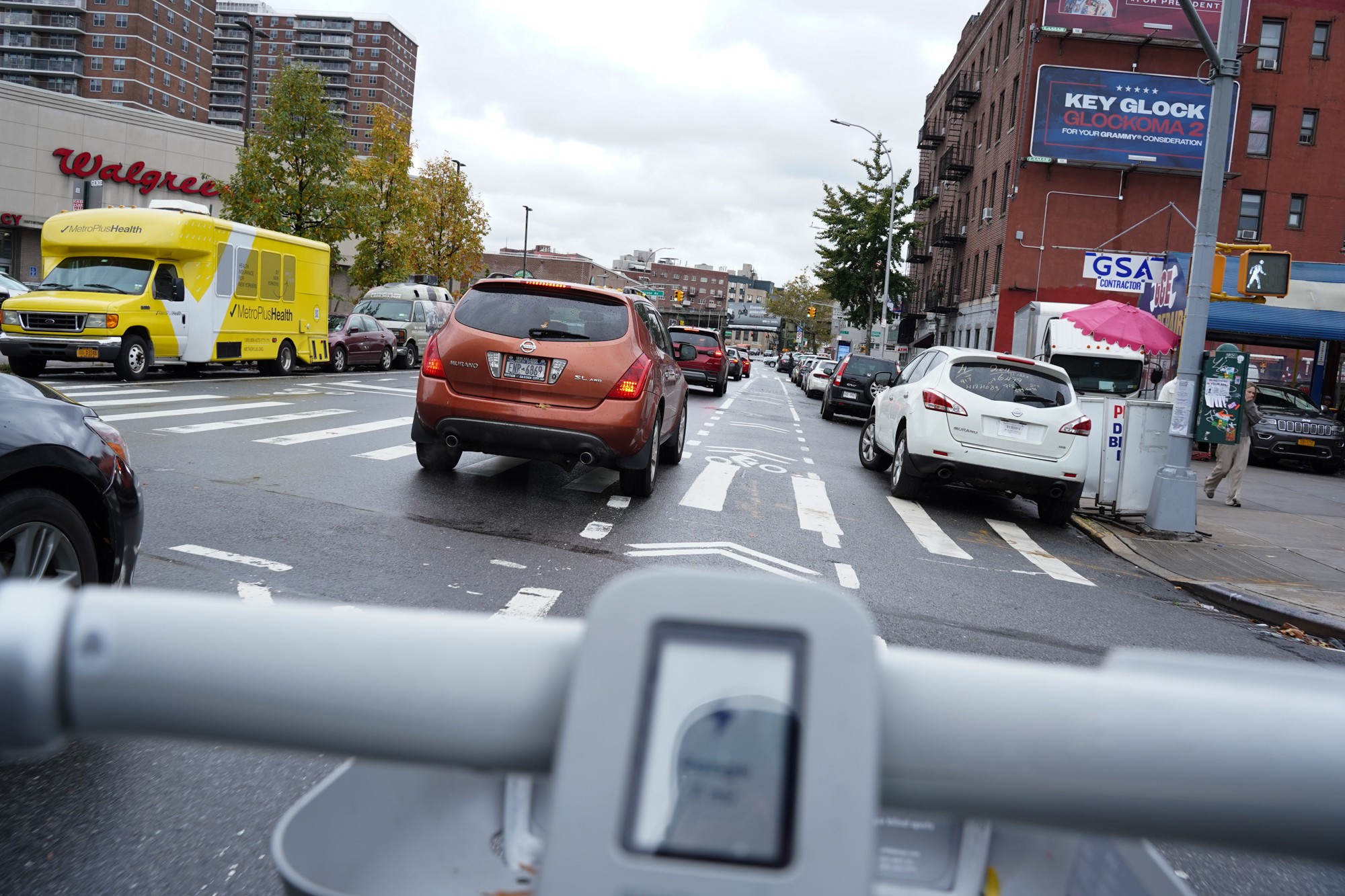
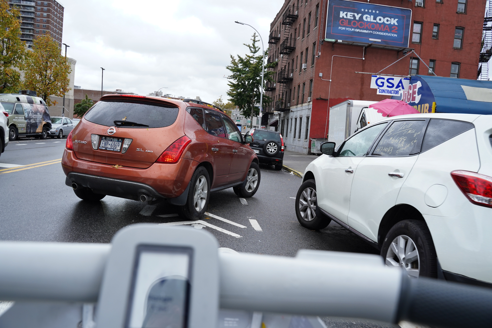
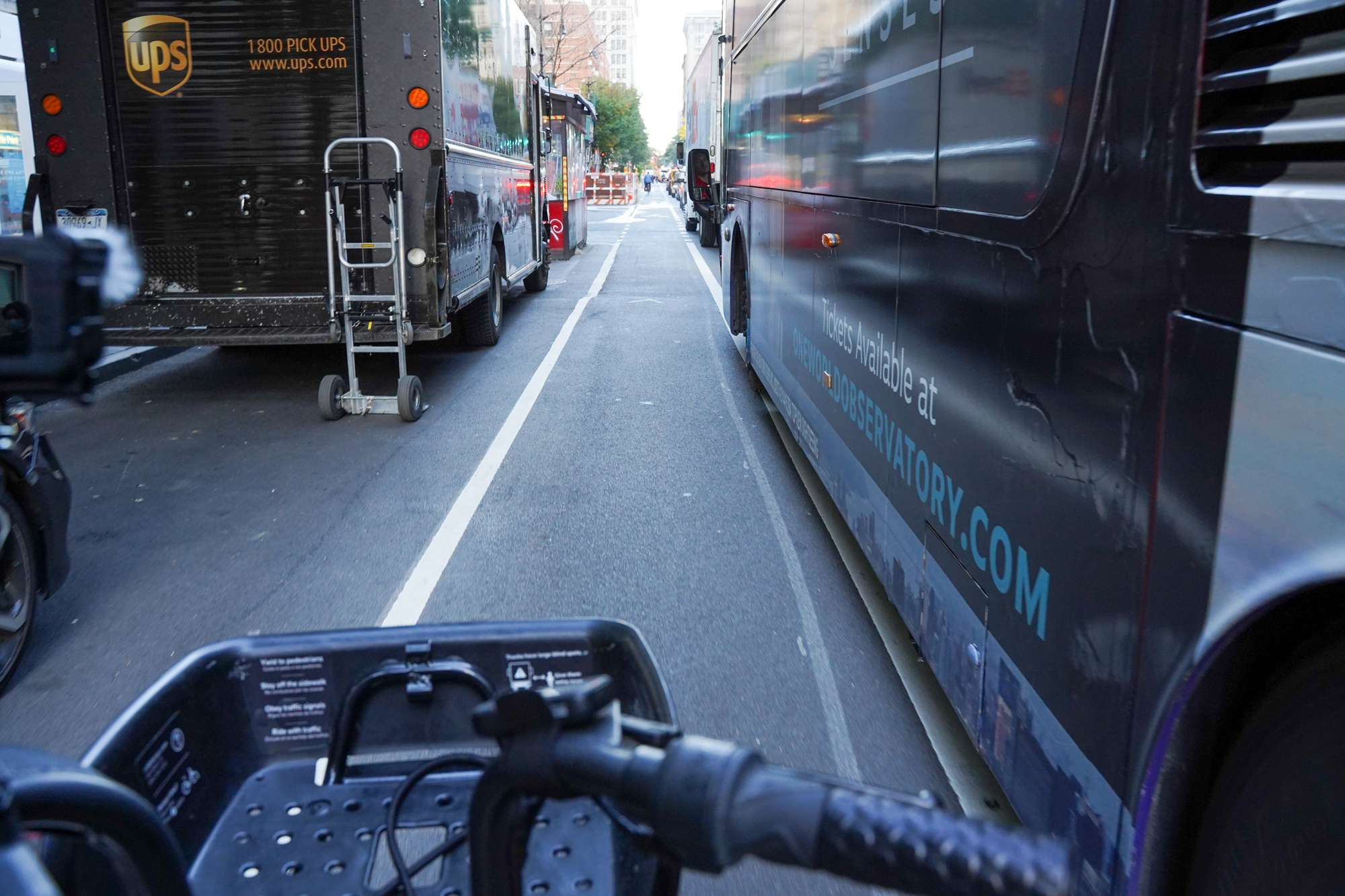
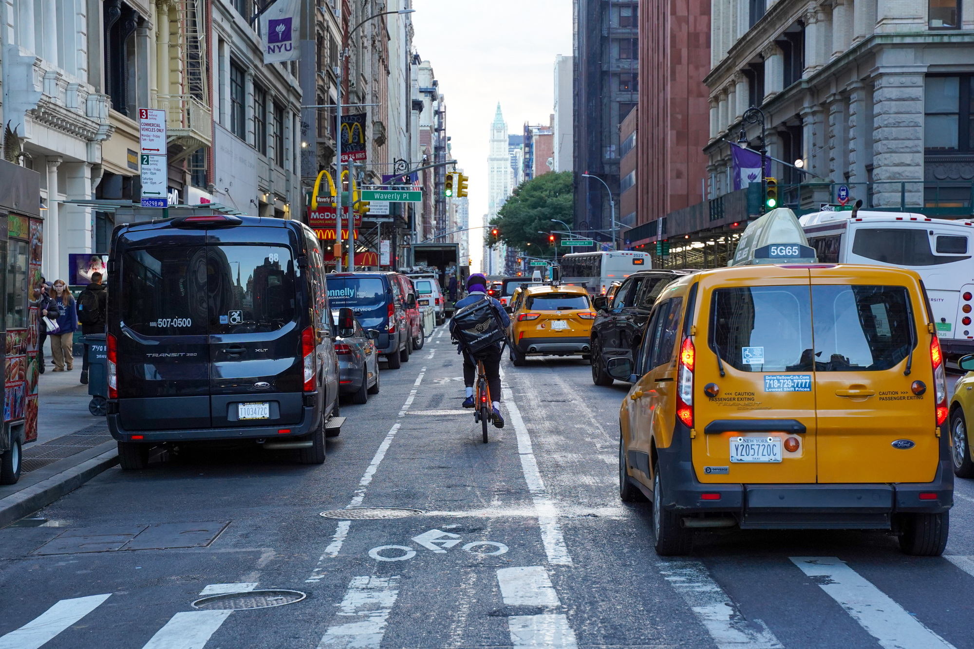
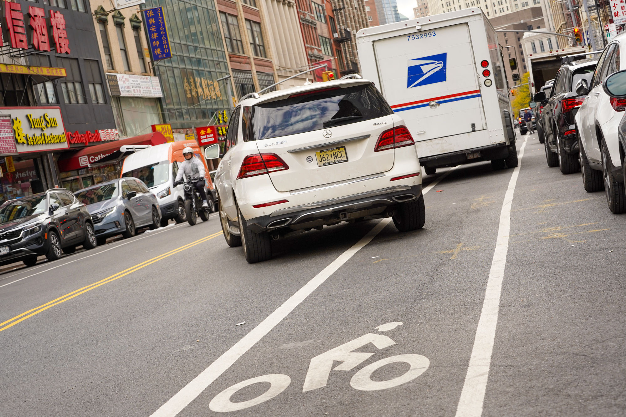
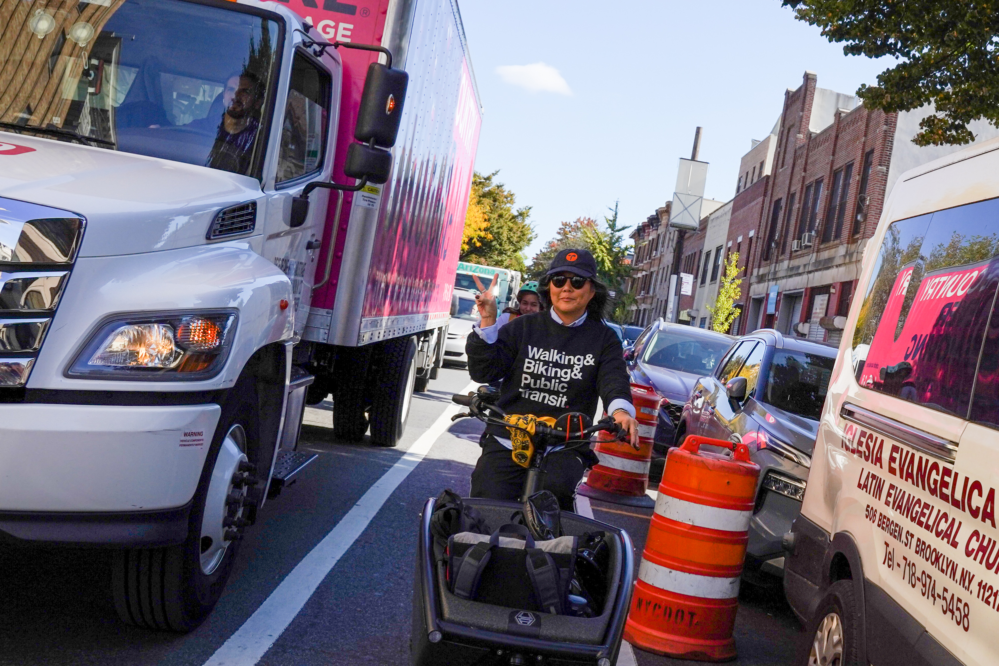
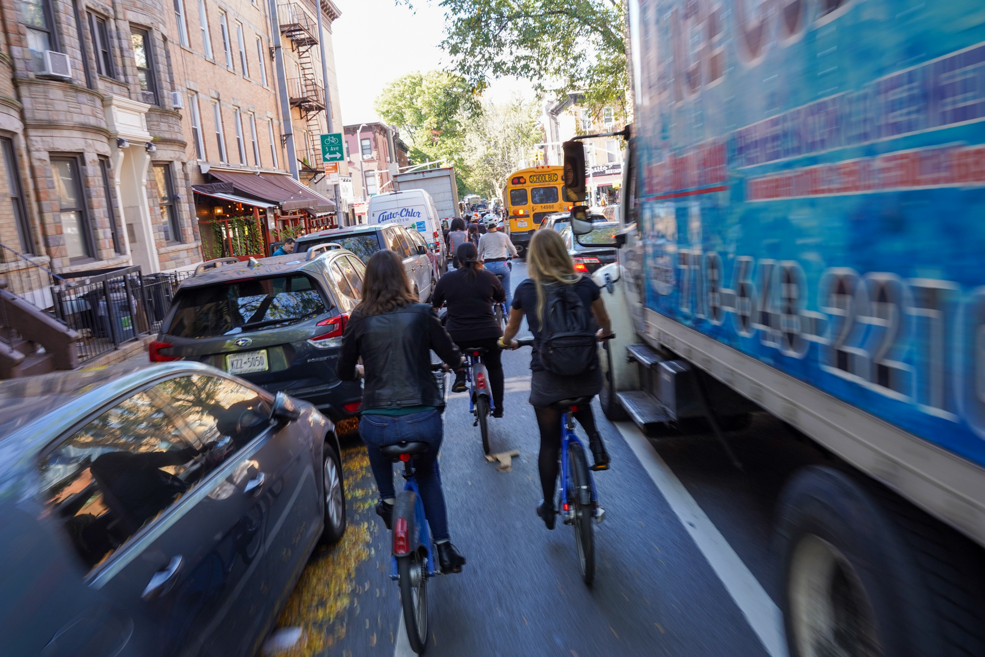
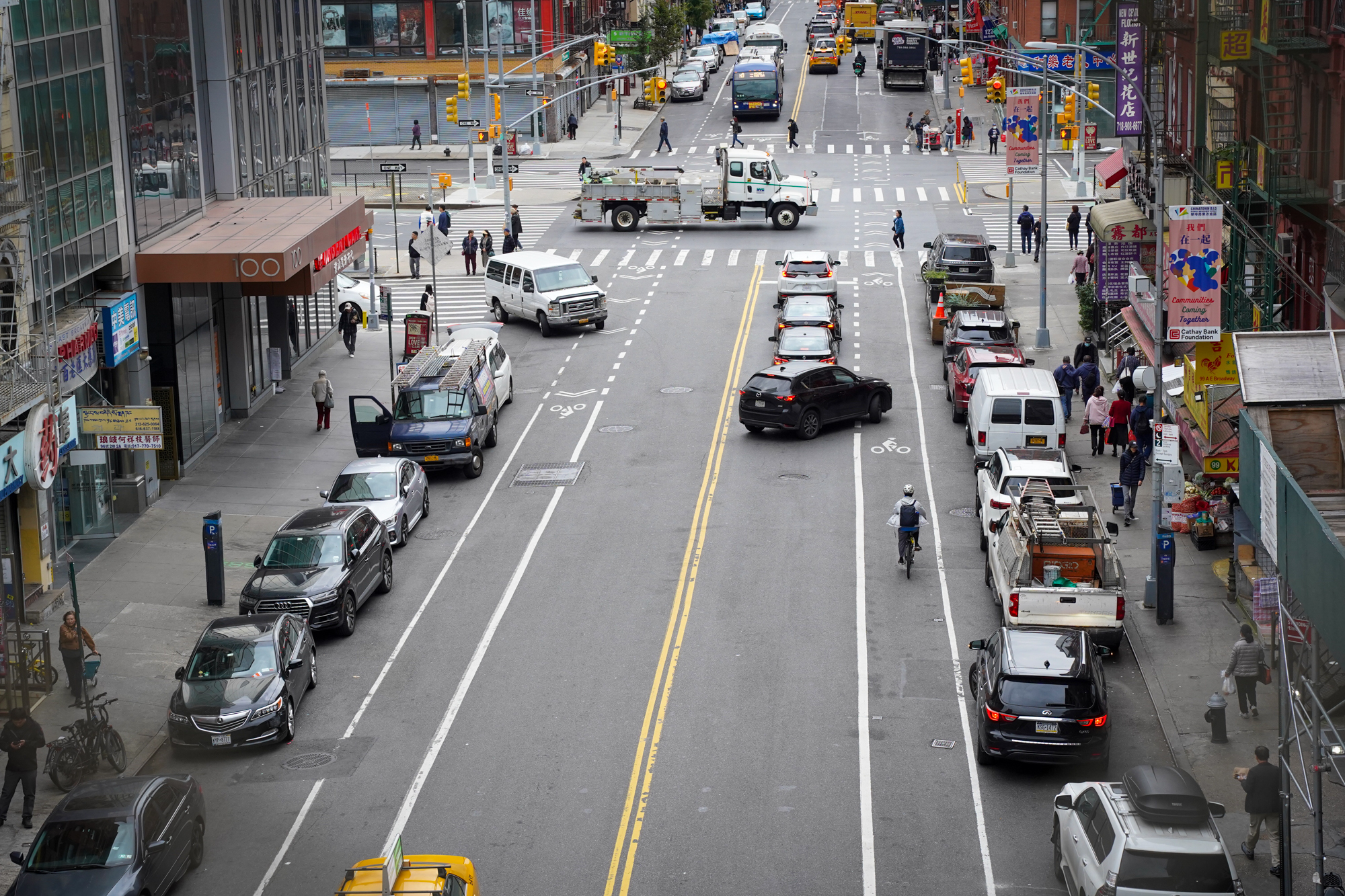
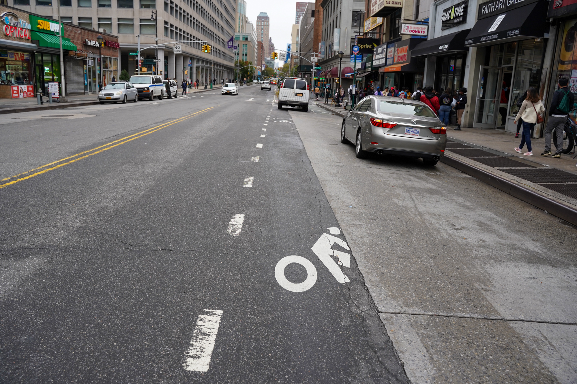
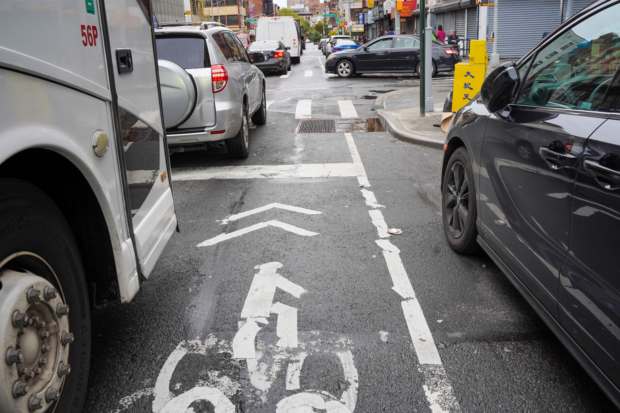
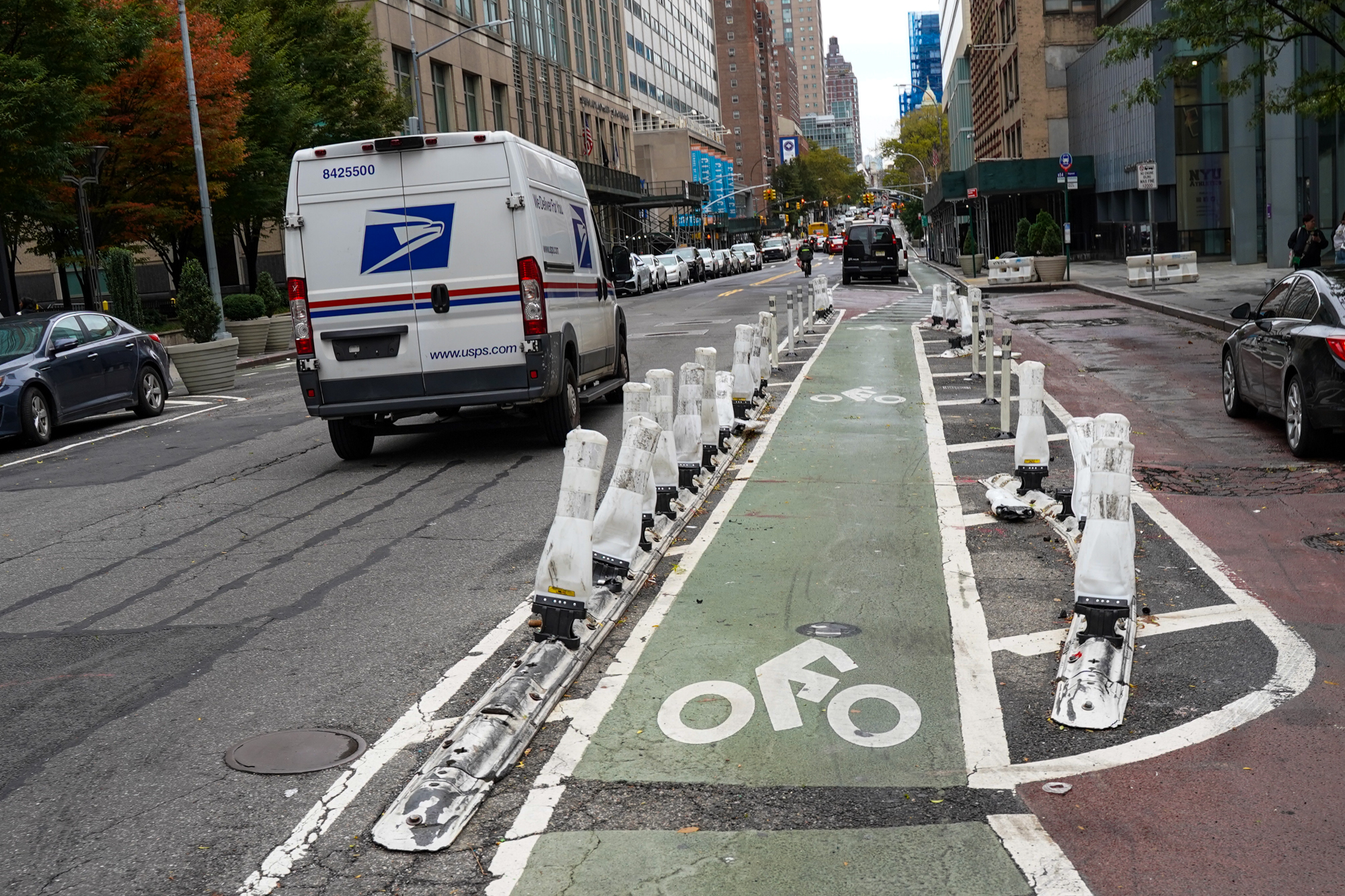
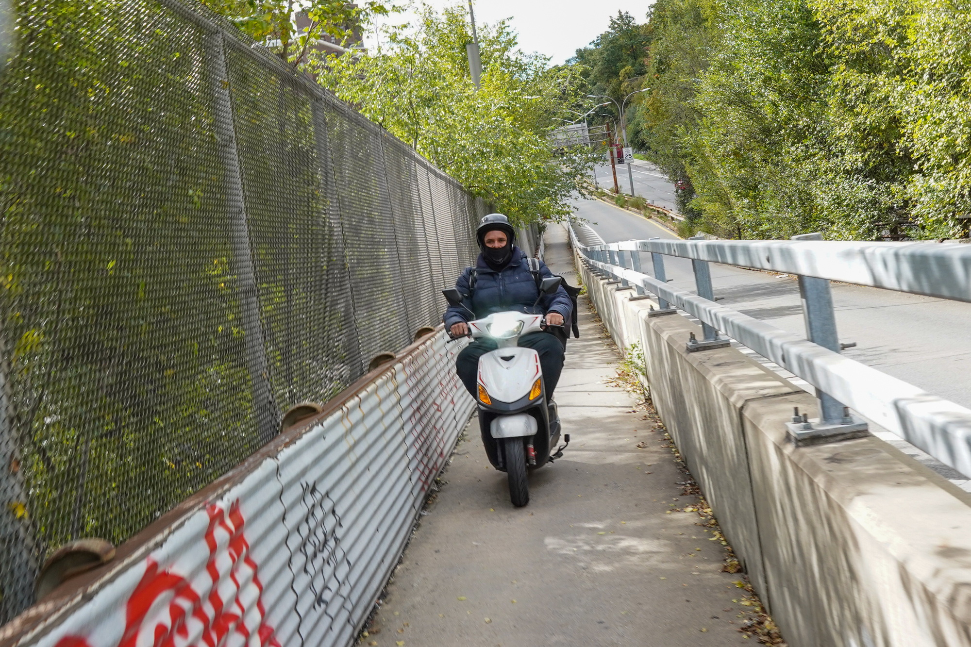
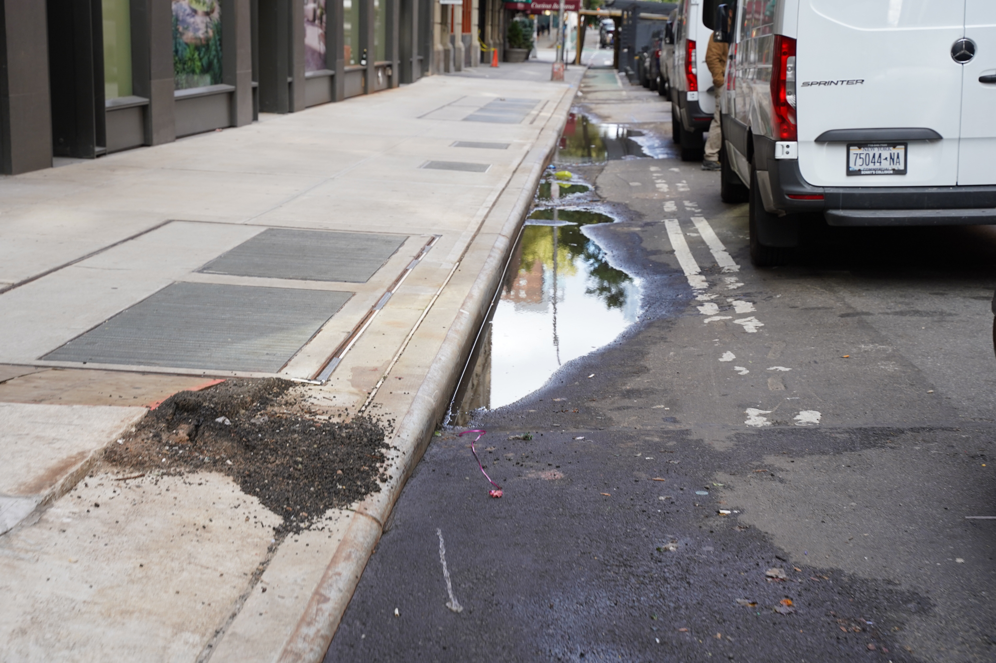
An east-west connection to the Hudson River in the Washington Heights area (W 157th or so). And no… the cop did not stop.These next several shots are from the Hudson River Greenway path. The path is very popular and has good separation between bike/ped.Another cool thing is how long it is. You can ride it for about 12 miles in both directions along the riverfront.The further north you get, the worse it gets. The path is older up near the George Washington Bridge and is narrower.George Washington Bridge.A few narrow spots are tricky on weekends.Looking south at tip of Manhattan skyline.This decision by NYC Parks is really bad. Thankfully, no one obeys it. But still. Love this group of e-boarders right next to the sign!I agree! It’s “bullshit” to prohibit e-bikes. We should legislate behavior, not vehicle type.Pretty dang nice!Parking protected designs like this are very common. This is lower Manhattan.Another common design. It’s nice to have, but too narrow. And the left-turning drivers are sketchy! Very generous width in Brooklyn.Nice to have, but not good enough.Love this! NYC is better at putting barriers in the street than Portland is.Bike parking as daylighting is my jam.I loved this use of jersey barriers to claim space for a two-way bikeway in Upper Manhattan (Sugar Hill). Reminds me of N Greeley Ave.Shot of East River Greenway from Manhattan Bridge.People are biking in Brooklyn. Even families.It’s amazing what you can do when you’re willing to use tall concrete curbs.Lower East Side. The only cure for this is cultural change and/or very comprehensive enforcement.Manhattan streets are so busy that even this type of bikeway feels inadequate.Typical Manhattan treatment for a low-volume, narrow road.Lack of physical protection might seem bad, but it allows people to pass easier when it’s crowded.Up near Times Square, things get really busy in the bike lane. I’m just thrilled they exist at all! Was ready to be mad at this driver, but then realized it was a Citi Bike worker (see next photo).It’s all good man!I mean. Love the crowds. This is what I want in a city. But it’s not easy to bike in.Sucks that so many people still drive when the bike lanes never get congested.Couldn’t resist this shot of an evening in Central Park! A newer installation near E 75th. Great to see DOT striping wider bike lanes when they can.State of the art cross-section on newly paved Manhattan street. Still way too much space for cars and drivers IMO.Traffic calming feature on Underhill St. on a bike boulevard in Brooklyn.Residential street in Brooklyn with door-zone bike lane and three lanes for cars/drivers.Loved seeing this open street in Brooklyn. Two-way, grade-separation in Brooklyn. Nice design, but it’s too narrow.Love this very protected, two-way bikeway in middle of Sands St. in Brooklyn.Kinda felt like Portland.I found wayfinding to be very good overall.This is a very popular, two-way protected bike lane that needs to be wider.Newer grade-separated in Brooklyn.Love that they’ve separated bike path from upper deck of Brooklyn Bridge. 100% mode separation (see next image).Only bummer is that it feels too narrow for bikes and people ride very very fast in relatively tight quarters.Lower Manhattan jersey barrier-protected bike lanes. I love how visible this makes cyclists!Terrible to the point of almost worse than nothing…… see what I mean?!If you don’t know where the best bike routes are, you can easily find yourself in this position in Manhattan.Just look at how dominant the presence of cars is.If you yell at everyone blocking bike lanes in Manhattan (this is Chinatown) you’ll go hoarse in an hour.Trans Alt’s Kathy Park Price hanging tough in a dangerous Brooklyn bike lane.Not great. (Brooklyn)This would have been fine in 1990. (Chinatown)Almost funny.Absolute flex-post decimation in Brooklyn!Sketchy narrow bike path in Upper Manhattan (Sugar Hill).Not very welcoming, but glad it’s there.I admire their commitment to connecting the network, but this is borderline criminal.
Hope you appreciated this little tour. For more stories and content from my New York City trip, see more coverage here.