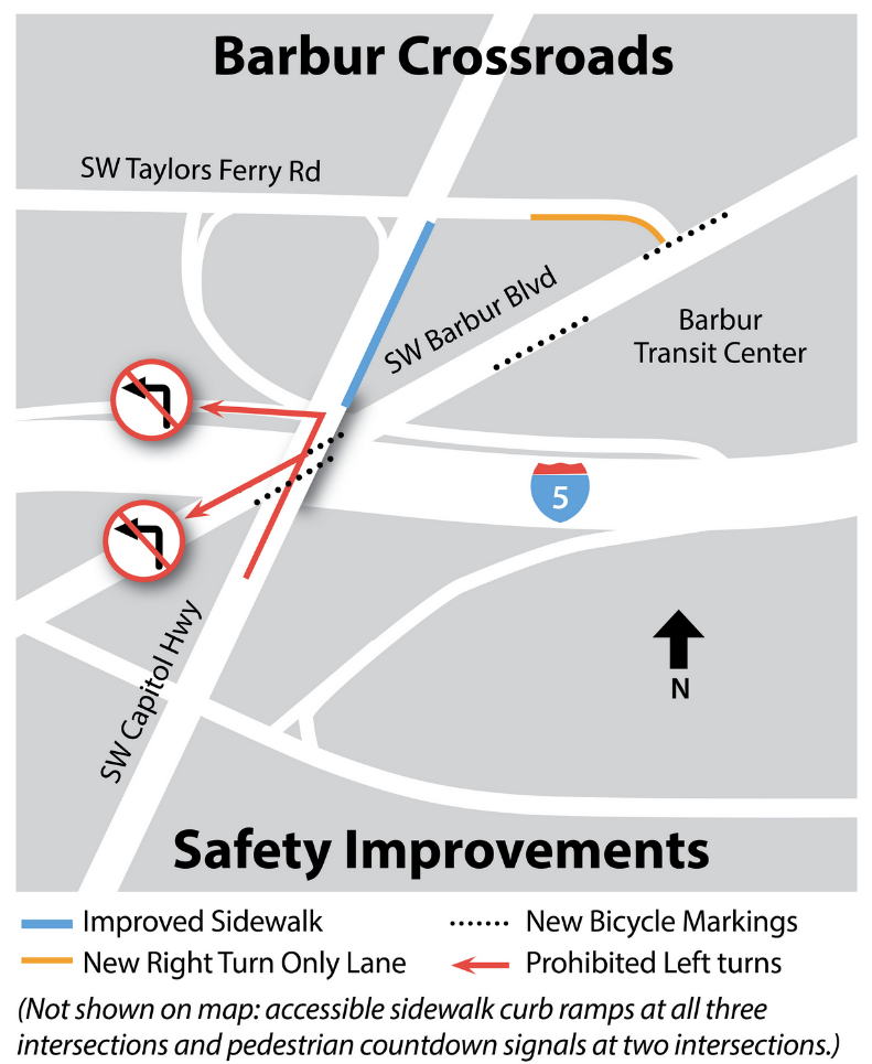
ODOT’s three million dollar Barbur Crossroads Safety Project is nearing completion. The project, also known as “the jughandle” by area activists, is being built with All Roads Safety (ARTS) funds.
Additionally, Portland has contributed its own pot of money for transitioning pedestrians and cyclists to Barbur Boulevard from the south end of their ongoing $27 million Capitol Highway project. The area is a complicated jumble of traffic and funding, with the three projects happening somewhat simultaneously. This week I visited the site to see how things are coming along.
The Barbur Crossroads Safety Project
As we have previously reported, the jughandle project has been controversial, with transportation activists objecting to the design and also concerned that automobile and truck traffic is being routed across a Safe Routes to School crossing.
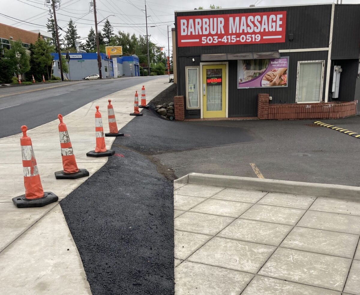
The first thing I noticed was the new, widened sidewalk along the east side of SW Capitol Highway. This will be a multi-use path for people biking and walking. The before and after photos below show what a big change this is visually.
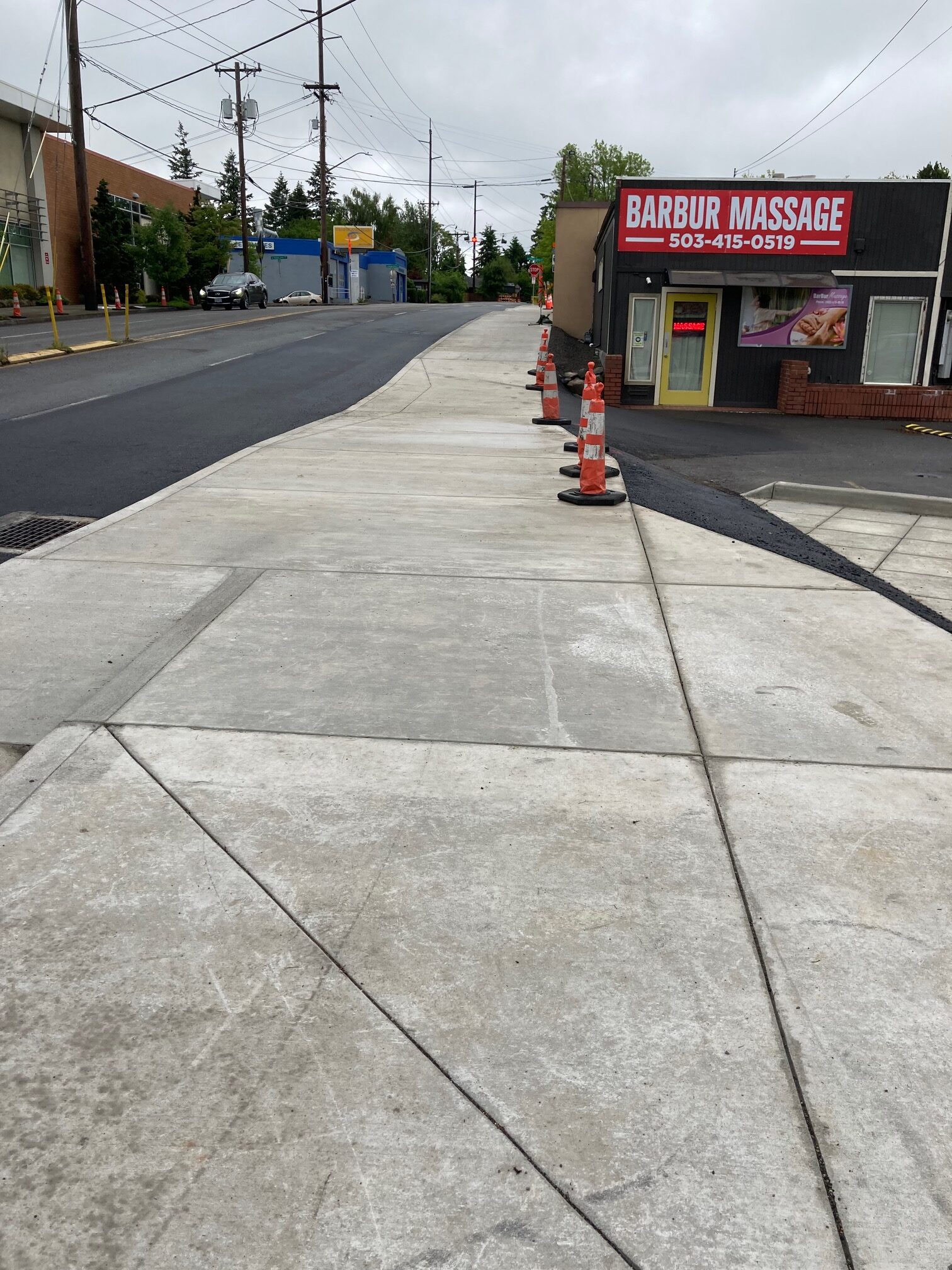
This seems to have been a fiddly project, and the widening and grading appear to have affected both the east and west sides of the old walkway. To the east, space previously used for driveway ramps to the below-grade businesses has been narrowed. The result has been to make the ramps along Capitol Hwy steeper, as seen in the photo below. (The triangle of businesses are also accessible from Barbur Blvd and Taylors Ferry Rd.)
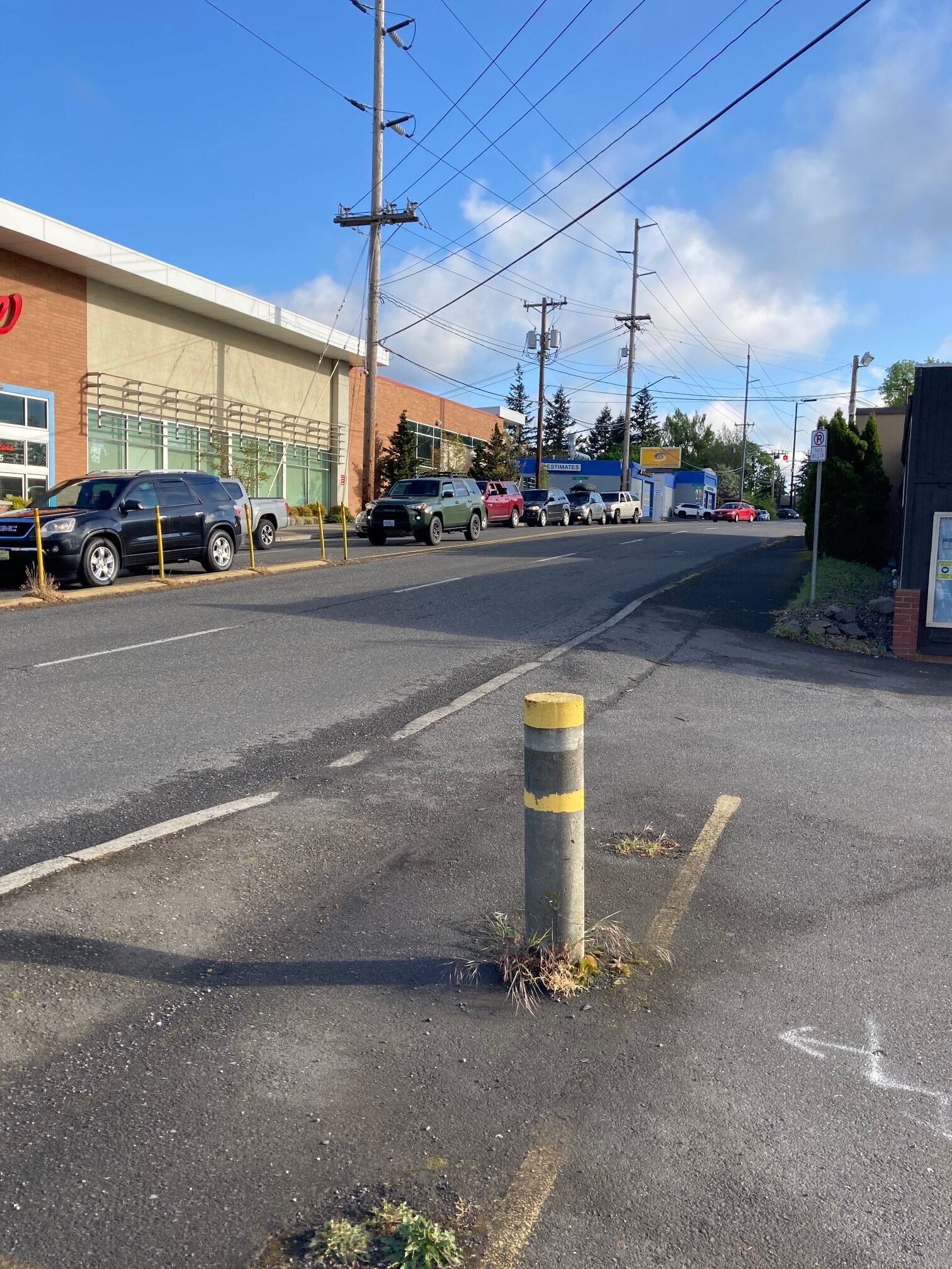
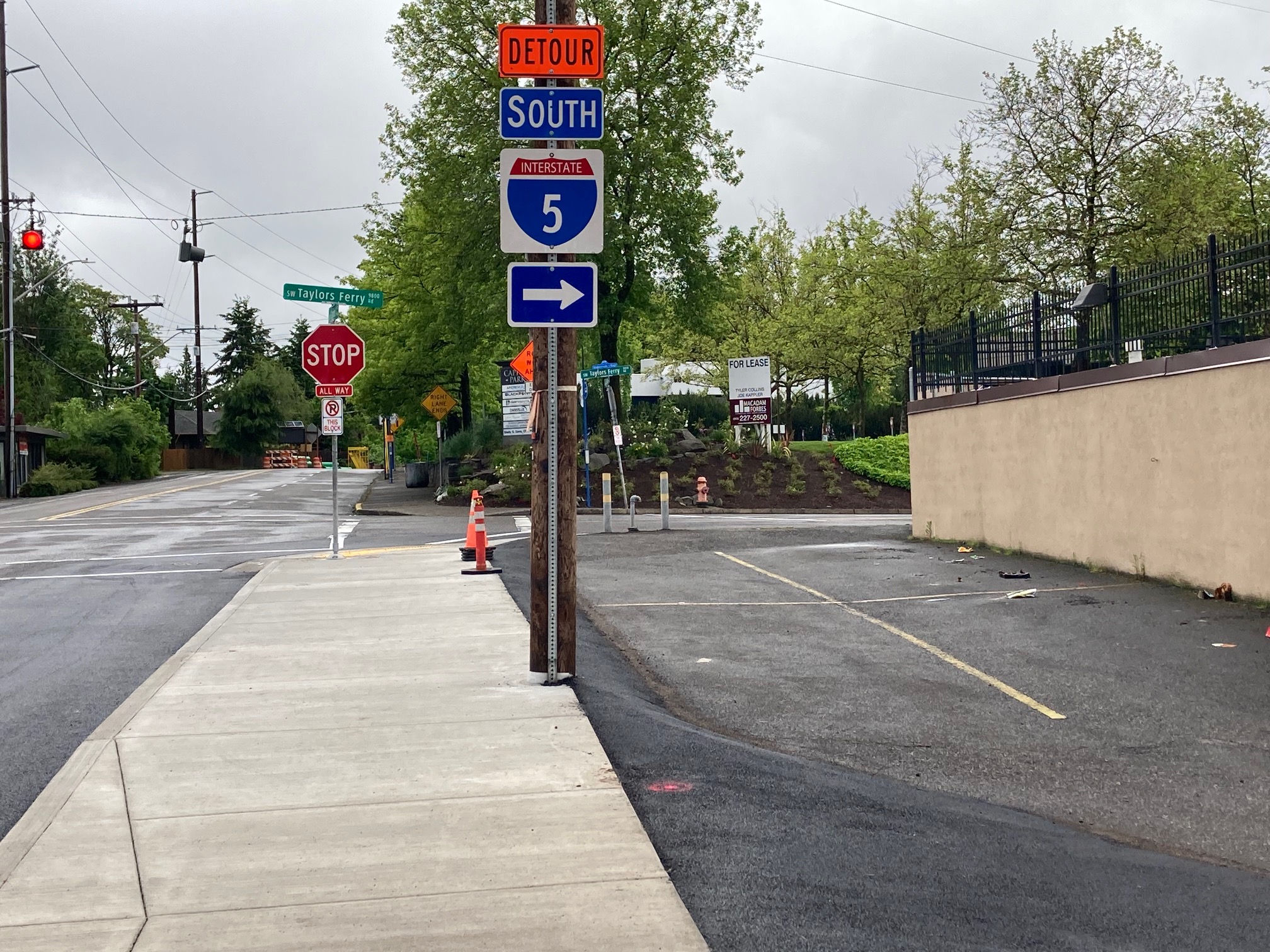
Before and after photos approaching Taylors Ferry Rd (below) show that a telephone pole appears to have been relocated, and the sidewalk width extended into street space.
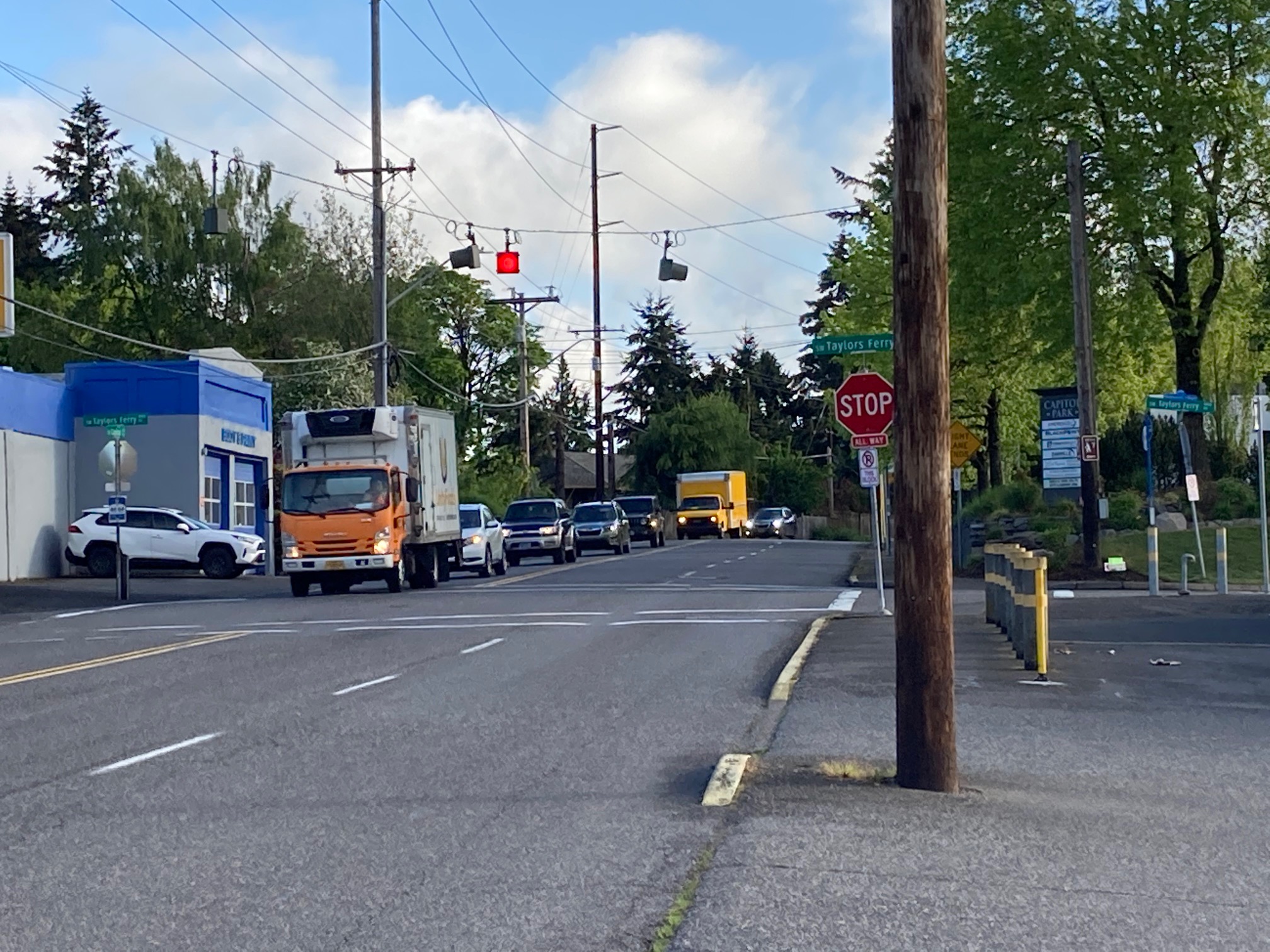
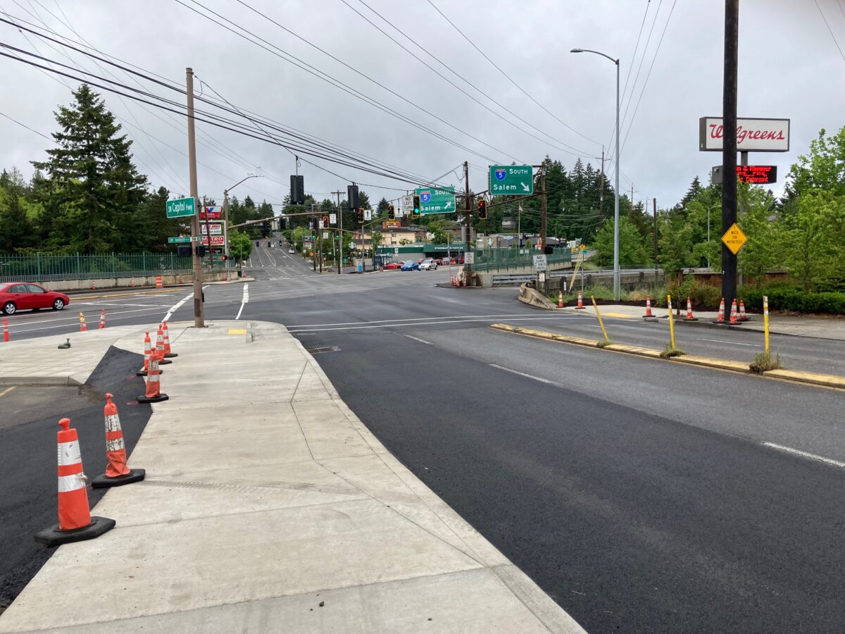
The Crossroads project also involved a change in traffic operations—the prohibition of left turns from northbound Capitol Highway onto both I-5 and Barbur Blvd, and the redirection of that flow into two right turns onto Taylors Ferry and Barbur Blvd (the “jughandle”).
The Barbur Crossroads is in the top 10% of dangerous roadways listed in the statewide Safety Priority Index System (SPIS). ODOT identified the left-turn conflicts as one of the main contributors to the 161 reported crashes in the intersection since 2008.
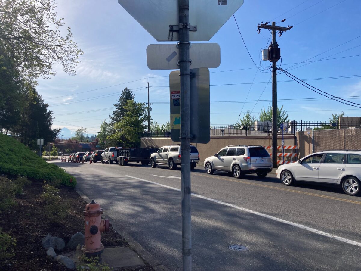
I visited the area a second time during weekday morning peak traffic to get a sense of how the left-turn prohibitions had changed the traffic flow. Car traffic was backed up on Taylors Ferry for the entire block between Barbur and Capitol Hwy, and also further to the west. Contributing to that congestion might be the Capitol Hwy detour which puts drivers on Taylors Ferry. Interestingly, with the slug of cars I watched, every driver turned left (NE) onto Barbur, nobody used the re-route as a jughandle for entrance onto southbound I-5. I concluded that, with Capitol Hwy to the north still closed, it was not yet possible for me to understand how the Crossroads projects would affect traffic flow.
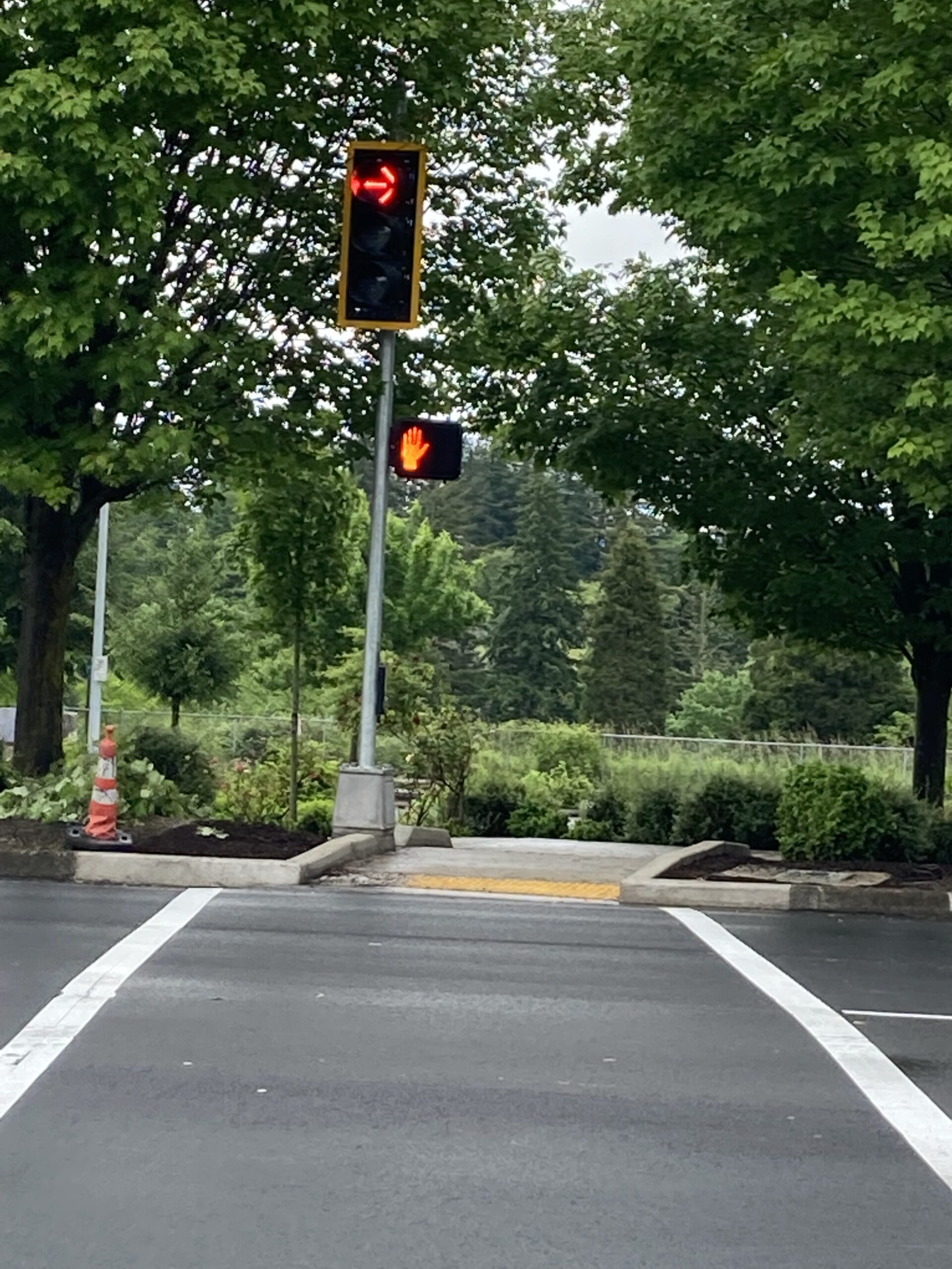
At the bottom of SW Taylors Ferry, at the intersection with Barbur Blvd, the traffic flow is split into a right and left turn lane. Drivers turning right onto the third leg of the jughandle can continue south on Barbur Blvd or enter I-5 south. It is this right turn that crosses the Safe Routes to School route across Barbur to Jackson Middle School. Transportation activists requested that ODOT install a light with a red on right turn phase, seen in photo below.
ODOT’s Barbur Crossroads project is expected to finish up this summer, and PBOT’s Capitol Highway project is projected to be completed at the end of the year.
The big stormwater basin on Multnomah Blvd
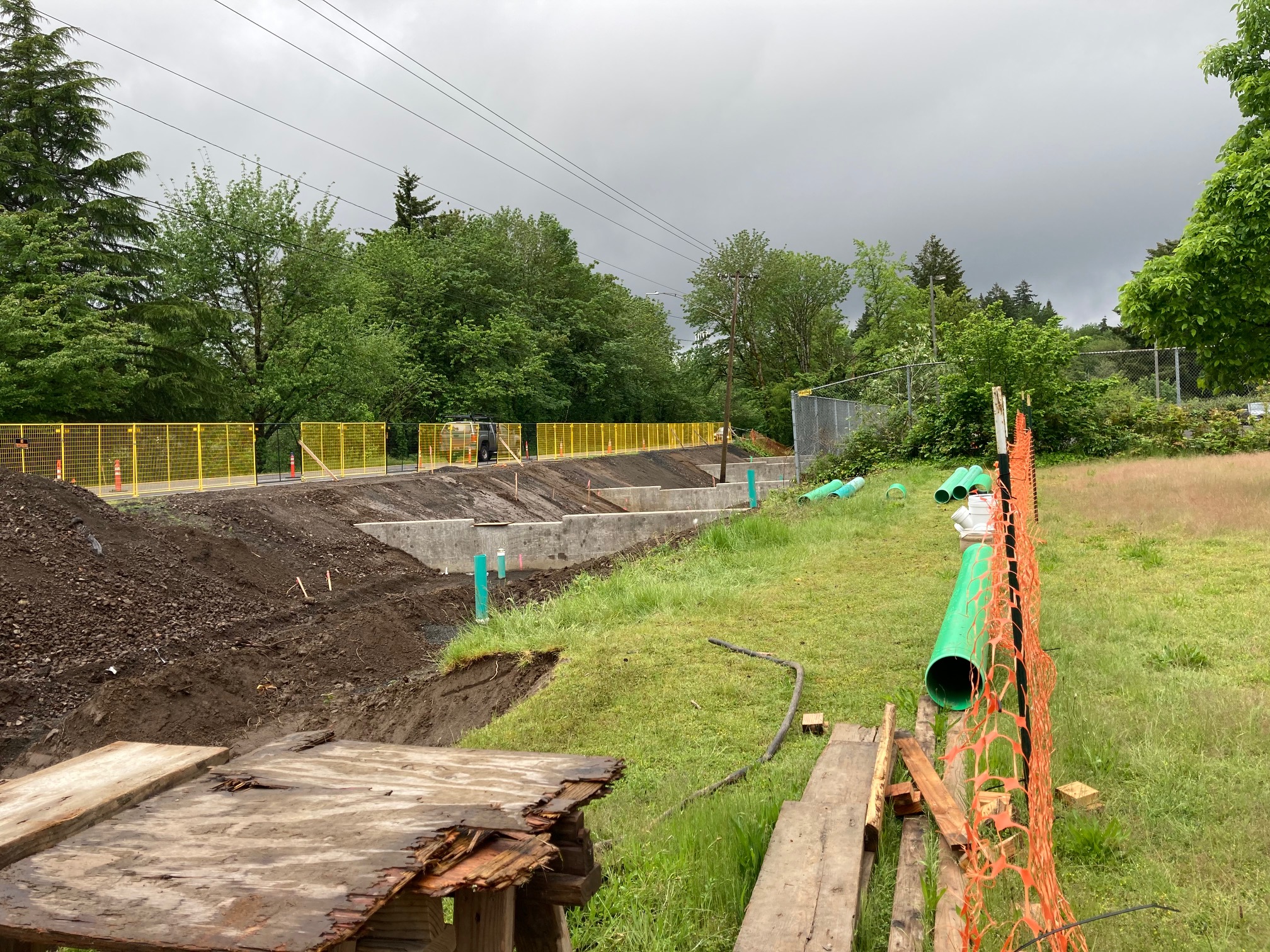
This is one of four stormwater treatment and containment basins associated with the Capitol Highway Project. We previously reported on the step by step construction of one of the smaller basins built at Woods Creek. The Multnomah basin is the largest facility, and it is huge. It sits just south of the US Post Office on 40th Avenue. The westbound Multnomah Blvd bike lane is closed along the length of the basin during construction.