
(Photos: Jonathan Maus/BikePortland)
I’m not sure why I’ve been drawn across the Columbia River lately. Maybe it’s because even though it’s close to home, just being in a different state feels far away. I also haven’t been doing any of my usual long rides for a month or so due to an injury so I’m feeling a bit cooped-up in my neighborhood these days.
Last weekend I was looking for a route that would be exotic and new (to me), yet flat and easy. The Columbia riverfront in Vancouver fit the bill.

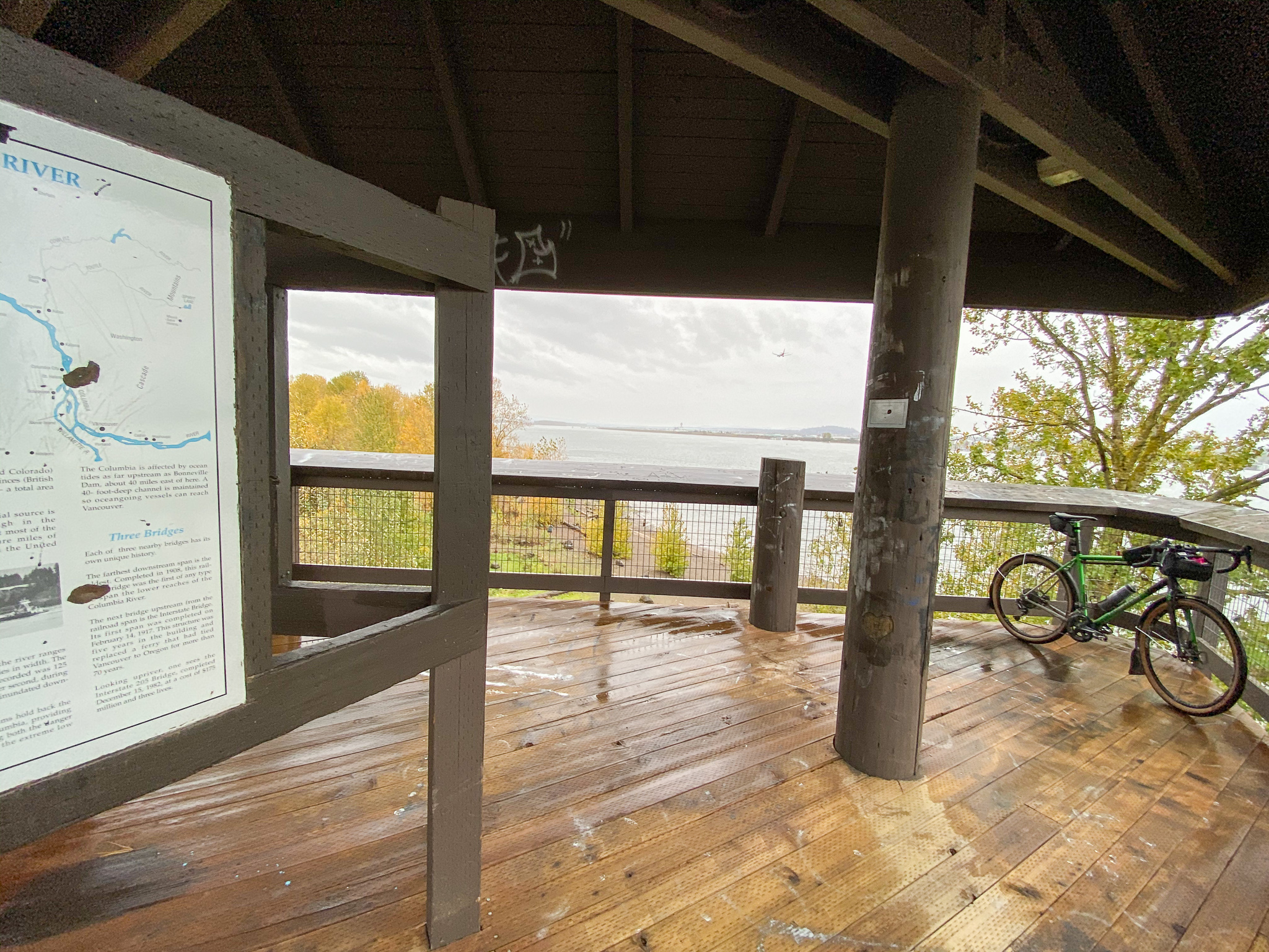
The section I explored was between the I-5 and I-205 bridges — not the shiny and new section west of I-5 (although that is really nice and I highly recommend checking it out). After I made my way across the river, I rolled down to Columbia Way and pulled into Waterfront Park. I’ve lived 3.5 miles from this park for 16 years and this was my first time inside of it. The first thing I noticed was the nice view of the I-5 bridge. Given all the debates we’ve had and stories I’ve written about it over the years, it was nice to get a new perspective on this massive green span.


I don’t know about you, but I’m a local history nerd and I read all those plaques and educational signs in public parks. Vancouver has a lot of them, so my pace along the nice path was slow and thoughtful as my mind wandered back to the disputes between British, Canadian, and American forces — all of whom fought over territory along this mighty river — and the native tribes that were hear before all of them.
I didn’t have to fight with anyone because it was a wet and dreary day. I had a wide paved path all to myself as I left the park and continued east along the river. I was pedaling on the Columbia River Renaissance Trail which goes for just over a mile before it (rather unceremoniously) ends. Between the I-5 bridge and the end of the path at an industrial site, there are lots of little beaches and river access points you could scramble down to. Toward the end there’s a bustling community of housing, shops, and restaurants. When we’re out of the Covid darkness, this would be the perfect place to grab a beer at McMenamin’s on the Columbia or cozy up with a pastry and warm cup of joe at Savona Coffee House.
To continue east I had to go through the business area and find Columbia Way. I jumped up onto a wide sidewalk (that reminded me of the industrial area on Lombard and Marine Drive) and passed through a huge industrial park for about a mile until I got to Marine Park. I meandered back toward the river and came upon a hidden gem: the Henry J. Kaiser Shipyard Memorial.

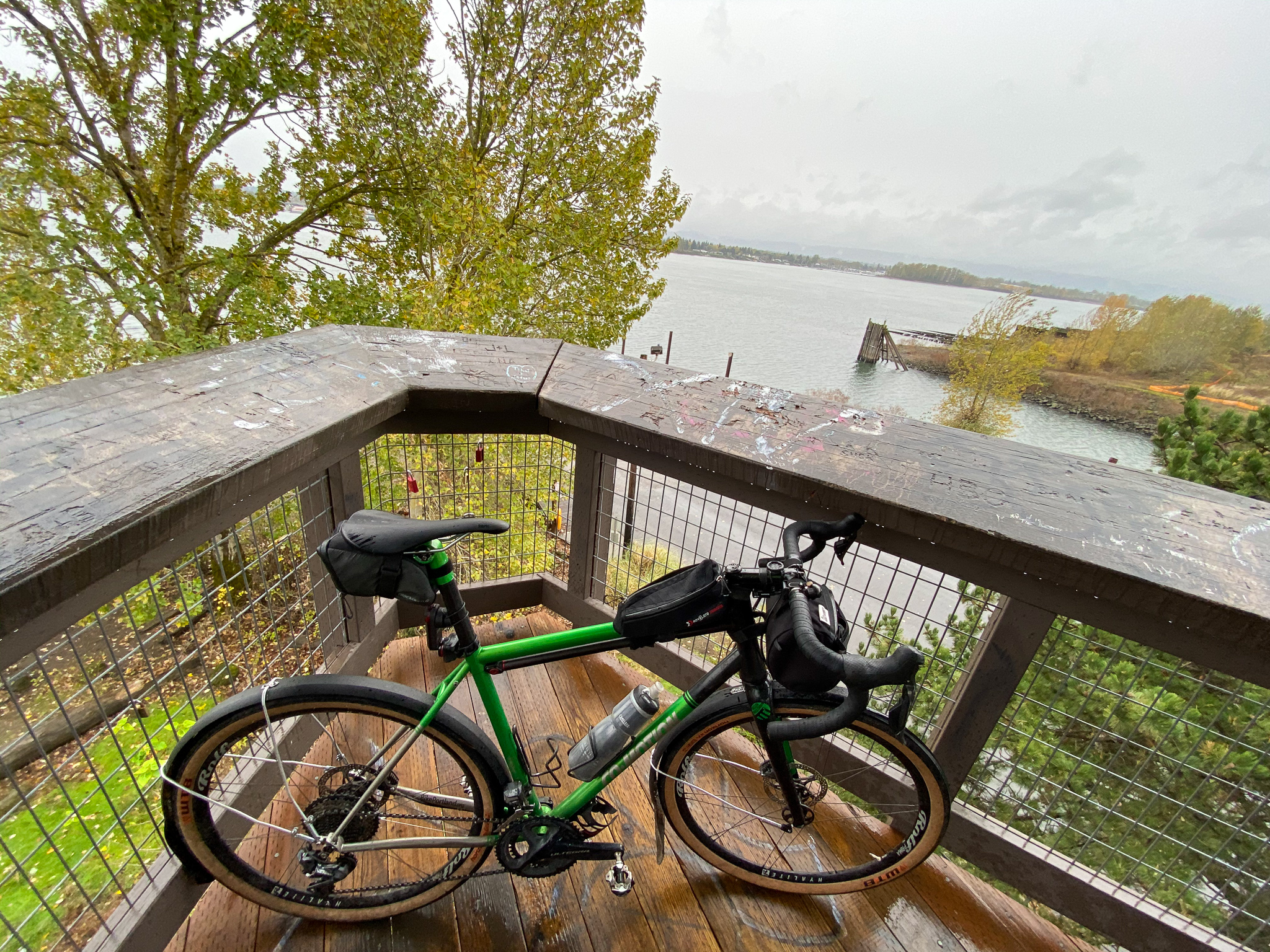

Previously unknown to me, this spot was once home to a key part of the World War II shipbuilding effort. I read all about it on informational signs, then took a short walk up some stairs for a better view. I could still see the old slips where hardworking folks cranked out cargo ships for the war effort. It was fun to peer across the river to Portland and see the Marine Drive path I know so well. There’s also a boat launch and dock at Marine Park where you can roll out to into the river to get even closer to the old slips (and just marvel at the vastness of the mighty Columbia!). One quibble with this stop: there was no official bike parking anywhere. I carried mine with me up the stairs. Come on City of Vancouver!
Just east of (and still within) Marine Park I found some fun little trails in an estuary that led to some beautiful beach spots.


A little ways further and the path came to another dead-end after Wintler Park. The connection back to streets at this location was very disappointing. I had to walk up metal stairs and then scurry on a narrow path that came out at a locked residential gate on one side and railroad tracks on the other. I eventually found the way out — up a climb on SE Chelsea Avenue to SE Evergreen Highway.
Evergreen Highway isn’t nearly as low-stress as the riverfront path, but it has low traffic volumes and good sightlines and didn’t feel super scary. I rode for about 2.5 miles past gorgeous homes and mansions before coming to the I-205 viaduct. I had no idea how to connect to the fabled middle-of-the-freeway I-205 bike path and I found myself at a trailhead just under the viaduct.

Just for fun and without knowing where it would lead, I rode a nice bit of singletrack loop through a colorful forest and ended up back at the highway a few minutes later. Turns out this property is part of Columbia Springs, a 100-acre natural area and home tp a historic fish hatchery. Another place to bookmark and return to with my family.
From here I found my way onto the I-205 bike path and headed back south to Portland. That’s a story for another day (unless you followed BikePortland’s live Instagram stories last weekend).
Overall I was very excited to find all these new-to-me places. I think people of all ages and experience levels would find this to be fun day trip. Keep it in mind for working up a Thanksgiving appetite — or pedaling off calories afterward. If you’re not comfortable bicycling across the river (I don’t blame you), there’s lots of parking at the new riverfront development on the west side of the I-5 bridge. For newer riders and families, the parks and paths between Waterfront Park and Marine Park have ample places to pedal, stop, explore, and hang out. For more experienced riders, the loop from north Portland, across the river, along the river and back via the I-205 bike path and Marine Drive is a classic that should be on your list.

— Jonathan Maus: (503) 706-8804, @jonathan_maus on Twitter and jonathan@bikeportland.org
— Get our headlines delivered to your inbox.
— Support this independent community media outlet with a one-time contribution or monthly subscription.