
(Photos: Jonathan Maus/BikePortland)
With all the biking you’ve been doing lately, perhaps you’re getting a bit bored of our local routes and paths? Maybe it’s time to venture north.

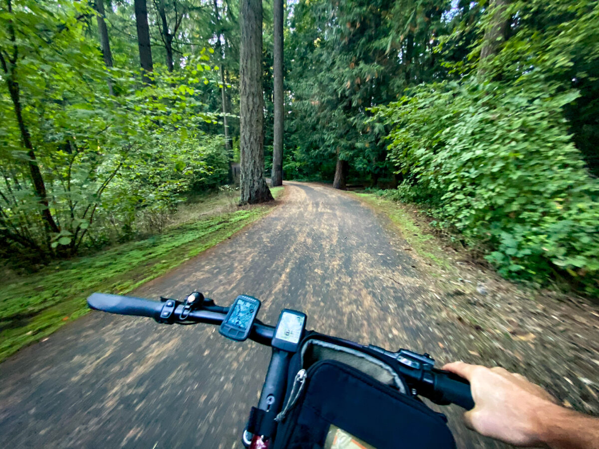
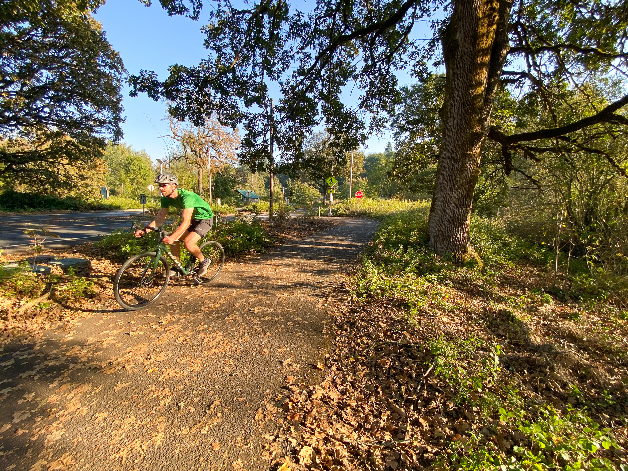
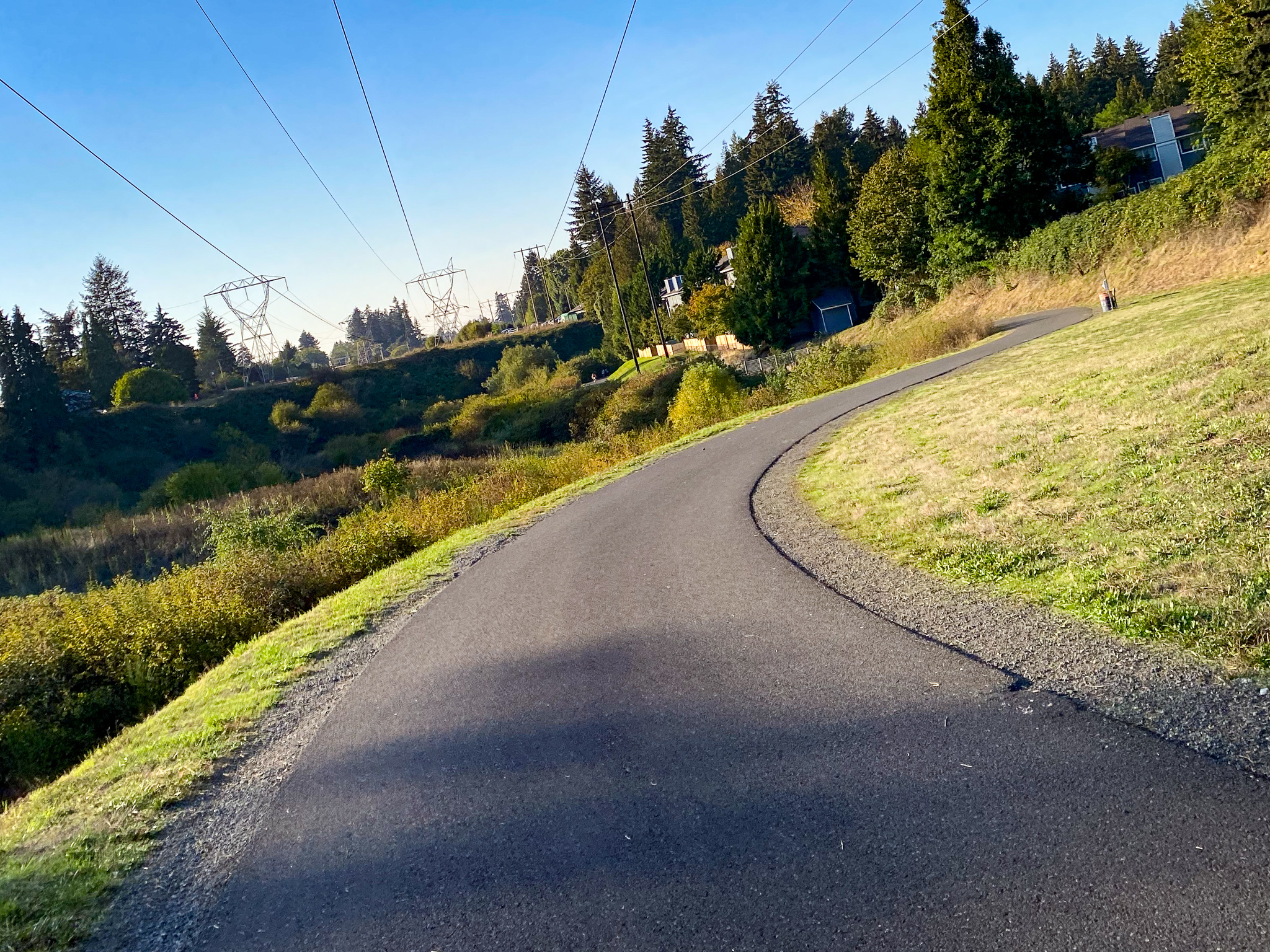
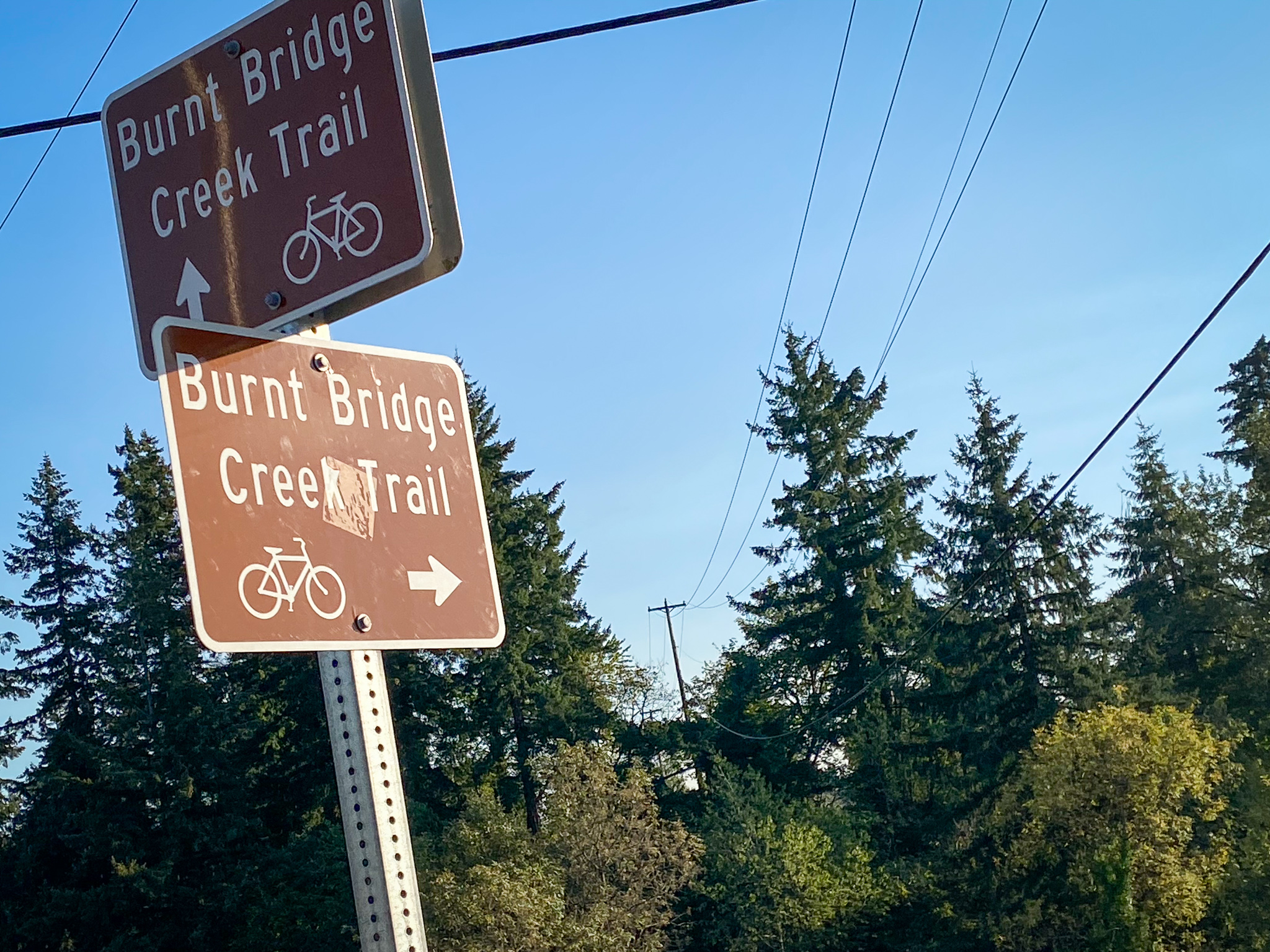
There are many reasons to cross the Columbia River into Vancouver. Chief among them is the Burnt Bridge Creek Trail, a well-marked, 100% paved path that follows the creek greenway and winds through eight miles of forests and natural areas between Fruit Valley Road and Hazel Dell Avenue.
I recently needed to pick something up from a store in the Vancouver Plaza shopping center and decided to take a detour to explore the trail.
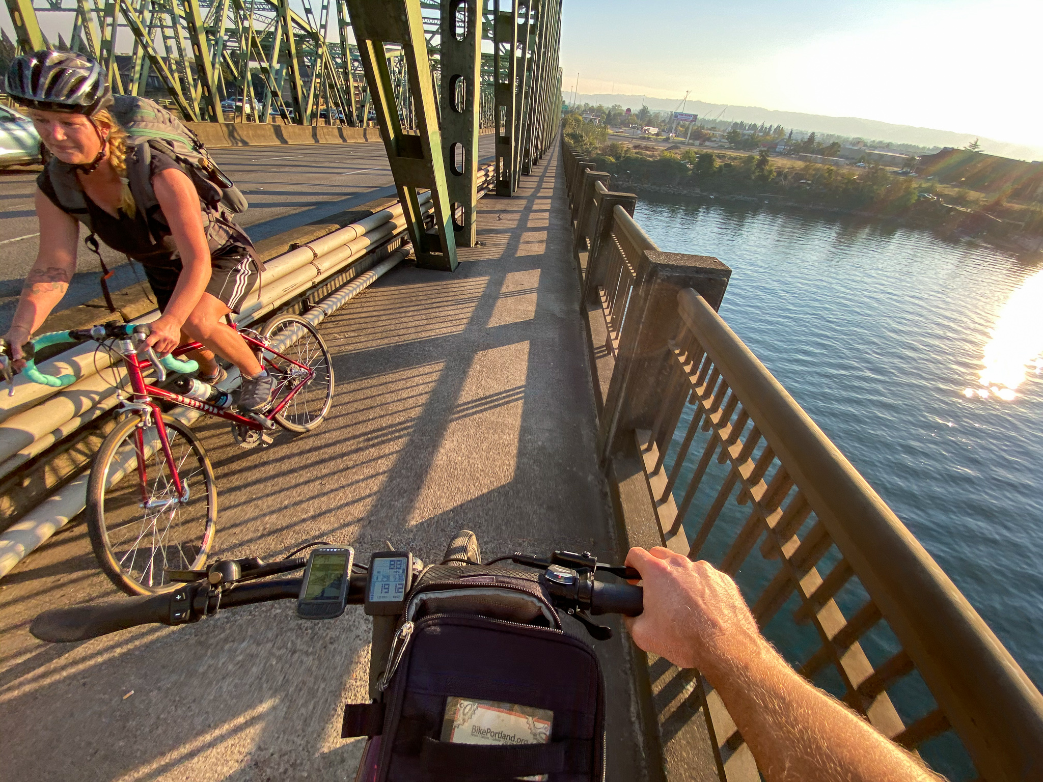
From north Portland I made my way to the I-5 bridge via Delta Park and the serpentine bike paths through Jantzen Beach. Once across the bridge I wound along the waterfront and crossed Highway 14 on the very cool Confluence Land Bridge. After that I rolled through paths in Fort Vancouver National Historic Site and then found bike lanes on East 18th Street before making my way onto the trail.

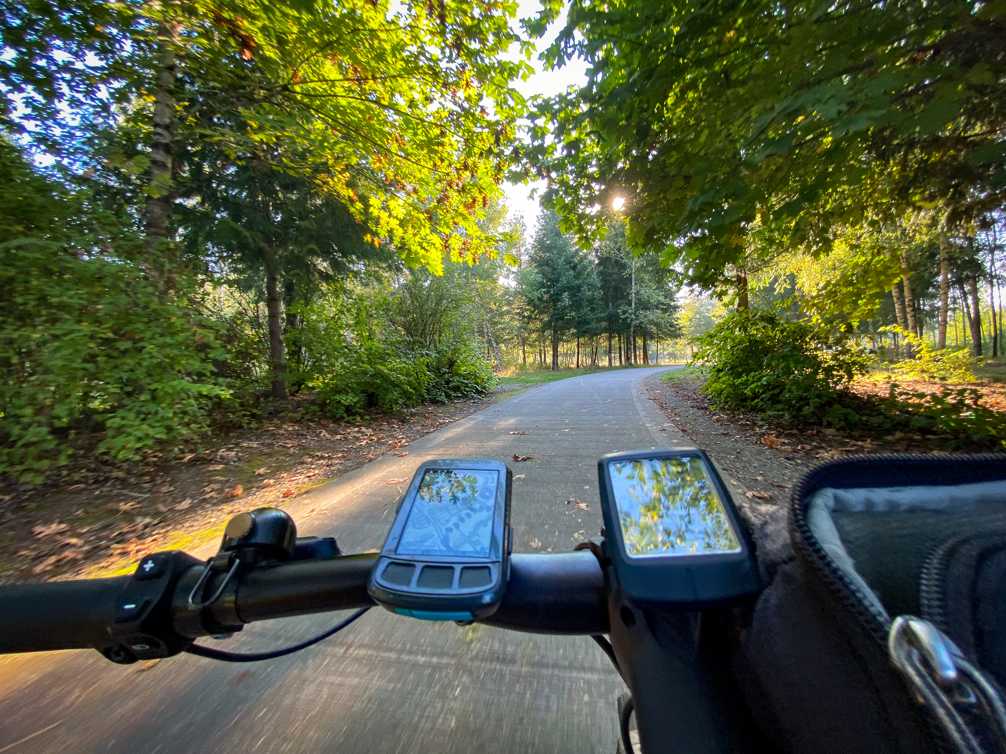
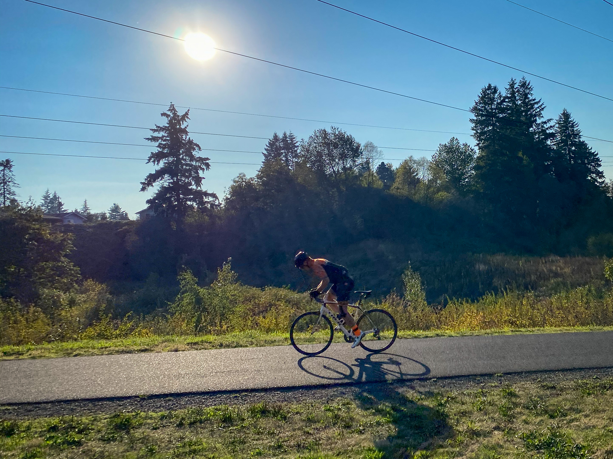
For a sunny and warm afternoon I was surprised how empty the trail was. Compared to Portland’s Springwater Corridor it felt much more serene and natural. There are also fewer stressful road crossings. The facilities and signage seemed top-notch, with a bike repair stand and nice restroom at one of the trailheads.
Advertisement

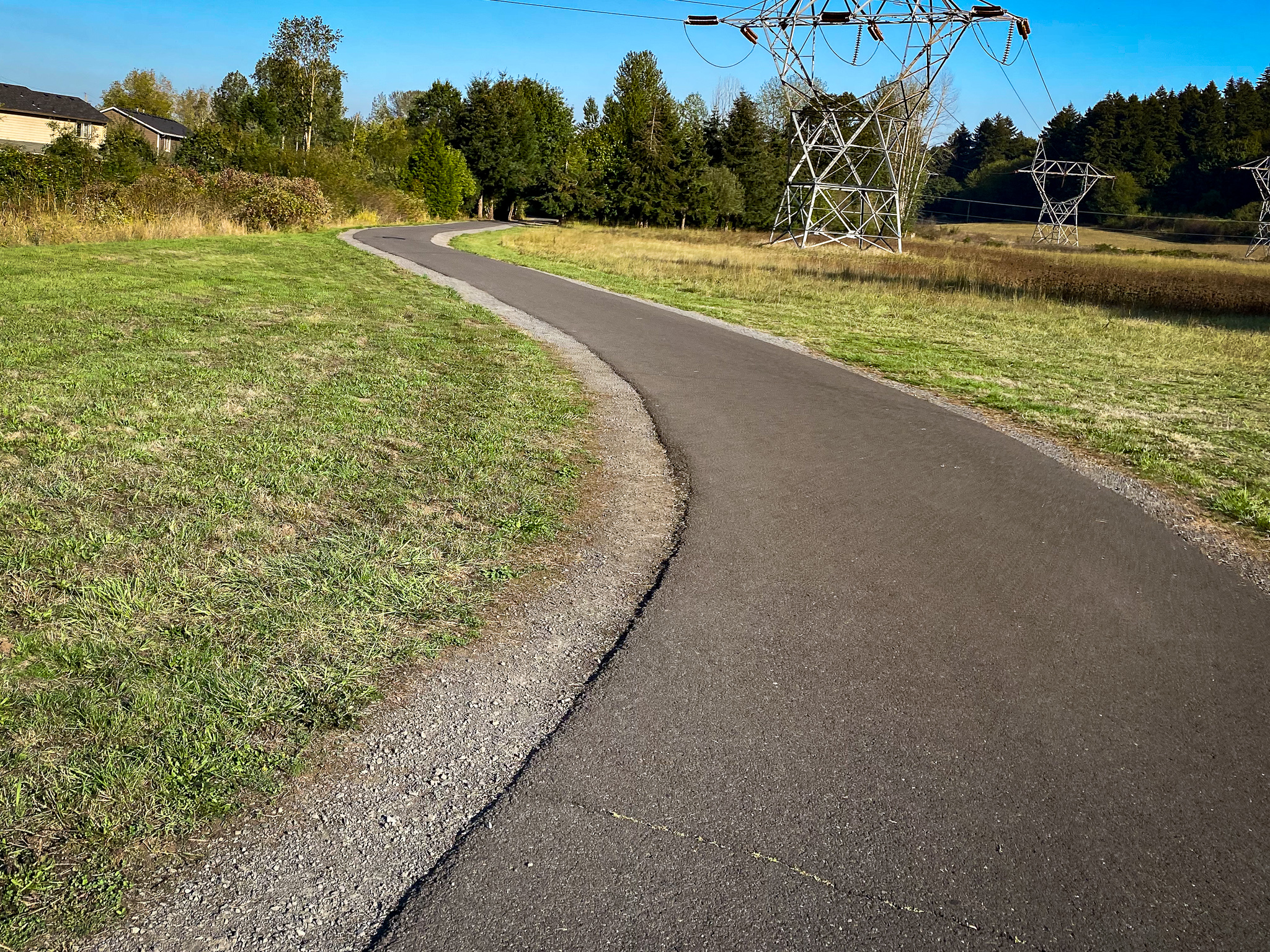
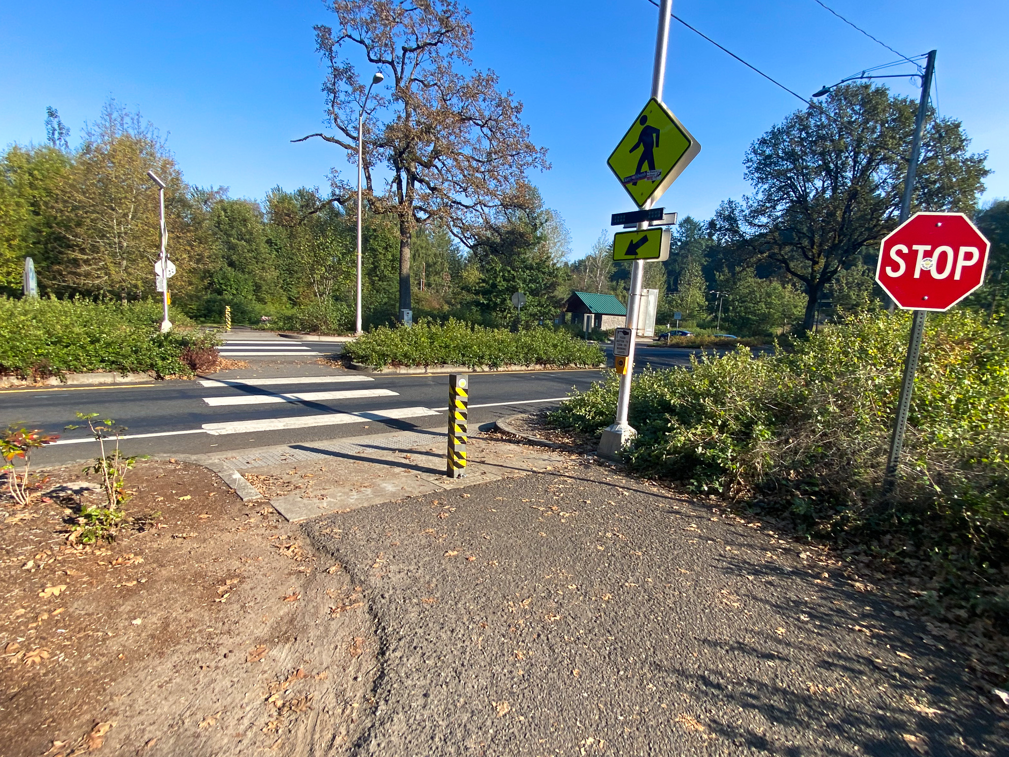
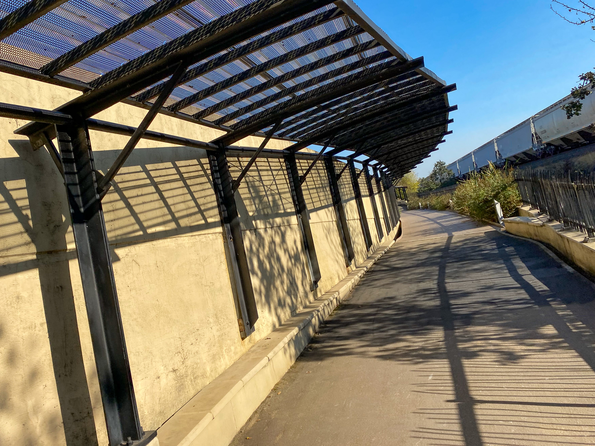
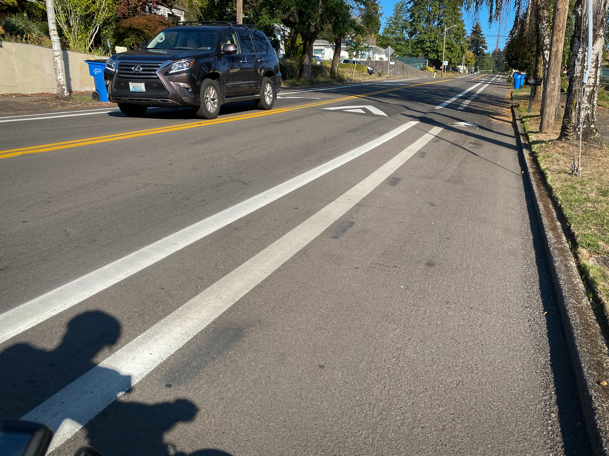
As I made my way from southeast to northwest I was impressed by the size and health of the creek and its proximity to the trail – as well as the size of the redwoods in one memorable section. I got off the trail at Main Street, right after discovering a new (to me) carfree bridge over I-5. Unfortunately the transition off the path was harsh as I was dumped onto a narrow sidewalk and streets without much space for cycling.
Thankfully it was just a few blocks west to Columbia Street, which is a bicycle boulevard that took me downhill all the way to Esther Short Park and onto the I-5 Bridge.


I highly recommend exploring the Burnt Bridge Creek Trail. If you aren’t able (or willing, I understand how scary the I-5 bridge sidewalk feels to many people), there are several trailheads with parking spots to start your ride from (see map below).

If you do check it out, have fun and let us know how it goes.
Learn more about the trail on the City of Vancouver’s website and check out my route details via Ride With GPS via the map below (just ignore my swing up to Target in the upper right 😁).

— Jonathan Maus: (503) 706-8804, @jonathan_maus on Twitter and jonathan@bikeportland.org
— Get our headlines delivered to your inbox.
— Support this independent community media outlet with a one-time contribution or monthly subscription.