Long before GPS devices became a popular piece of cycling gear, two Oregon State University computer science majors were busy creating Ride with GPS, an app and website that made it easy for anyone to plan a route, navigate, and track their rides. 13 years later this little startup is a bona fide tech success story with a feature list that continues to grow alongside its user base.
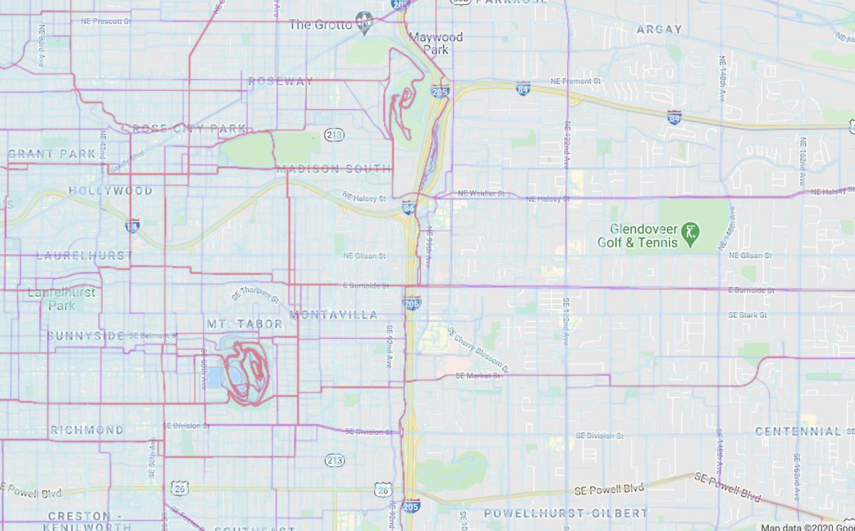
Today Portland-based Ride with GPS launched its much-anticipated heatmaps feature which promises to allow anyone to, “ride like a local, anywhere in the world.” Using aggregated data from the past two years of millions of Ride with GPS users worldwide, the heatmap highlights were people actually ride. This type of information is invaluable when riding in a new area, or when you’re looking to go deeper and find new roads in places you (think you) already know.
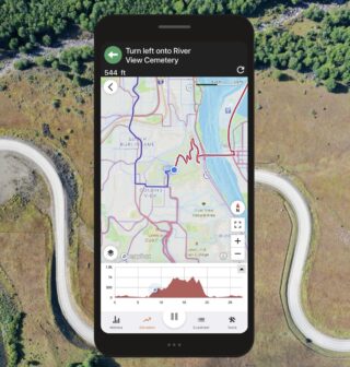
The heatmap is viewable on its own, but the real magic happens when you toggle it on as an overlay when creating a new route or while navigating out in the field.
Advertisement
Imagine you’re in a new town or unknown rural area and you’ve got the Ride with GPS app open to record your ride. With the heatmap enabled you’ll be able to see the most popular route — vetted by millions of previous trips — right on your screen.The “heat” of the colored lines on the map will show you which roads are likely to be the safest, most convenient, and most fun to ride.
It’s like having all the best local knowledge tucked right inside your device, or like a Yelp review system for routes.
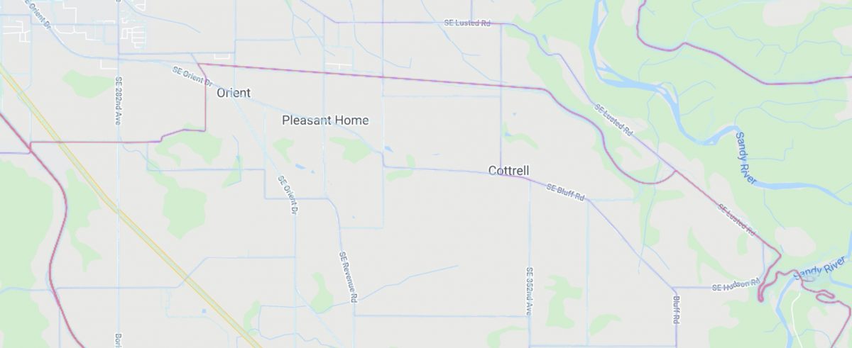
Here’s another way the heatmap feature can be used: Let’s say you were curious how to safely get from the Sandy River near the city of Sandy to the Springwater Corridor? As you can see in the map detail below, one route dominates so you can be assured that’s the one to pick.
Planners and urban cycling advocates can also glean vital information about bike route density (or lack of it), desire lines, and so on. Knowledge about where people ride can help cities plan and build better bike infrastructure. What can we learn when this data is compared to a heatmap of Biketown bike share trips?
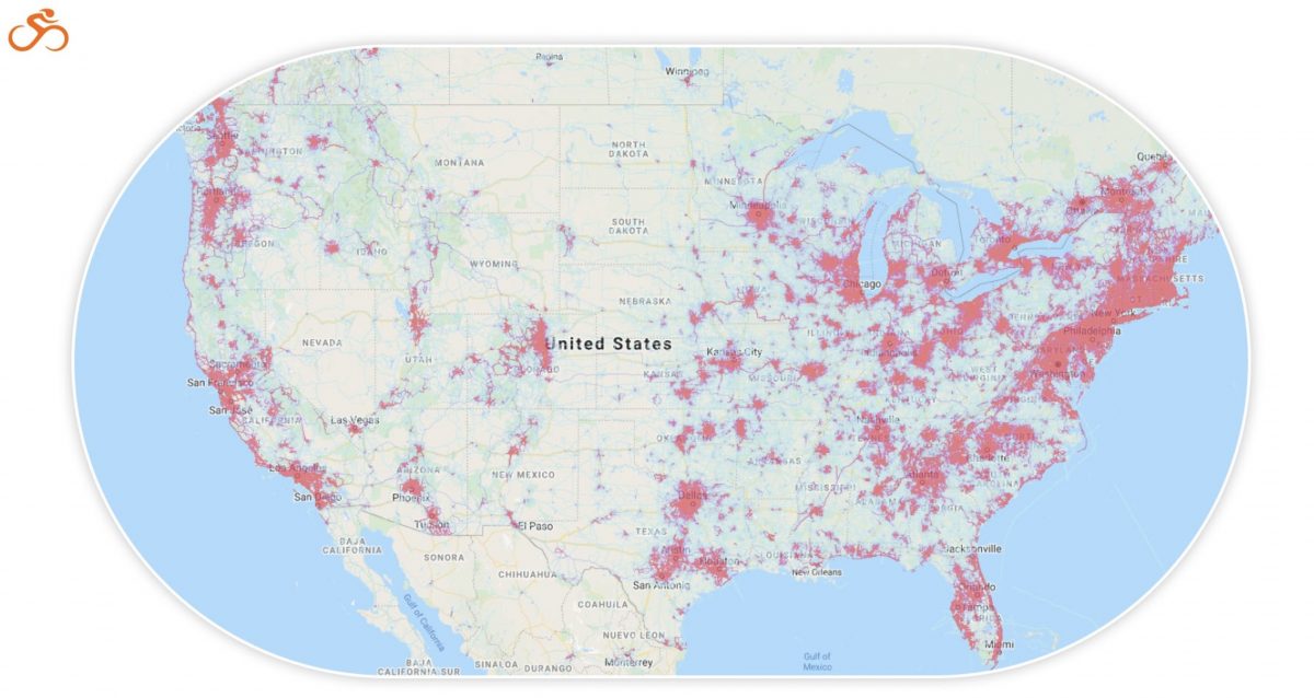
According to Ride with GPS, the source data for the heatmap is completely private and will be updated weekly to prune out users who opt-out of their rides being used. Out of the box, the heatmap only uses publicly-logged trips and respects all privacy zones (around start/finish locations) set up by users.
The heatmap is just the latest in a string of new features recently released by Ride with GPS. And people are taking notice. According to Kevin Prentice, who does marketing and product strategy for the company, they’ve added 41% more new users in the last year compared to the previous year. The company is also up to 19 full-time employees and has more hiring planned for the 2021 season.
In addition to the heatmap, the company’s route planner (already the best in the business if you ask me) received a major set of improvements and refinements back in May. One of the biggest upgrades was a cool feature known as Auto-Trace. This allows you to take a ride you’ve recorded, or a ride from a file or elsewhere, and automatically generate a cue-sheet with turn-by-turn directions at the click of a button.
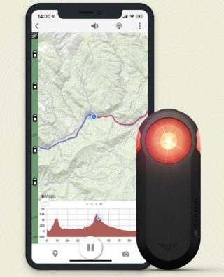
Also this past summer Ride with GPS inked a deal with industry heavyweight Garmin to be the exclusive app partner for their line of Varia radar devices. The Varia (available with or without a rear light) tracks vehicles approaching from your rear and sends an audible and visual warning to the display of a GPS device on the handlebars. If your phone is mounted and recording with Ride with GPS, the warning from the Garmin unit come right onto the screen. It’s like having a “car back!” even when you’re riding alone.
Prentice says growth has also been fueled by translating the site and app into six languages. As you can see if you pan out on the heatmap, Ride with GPS has users worldwide — which means you can find great routes nearly anywhere in the globe you happen to find yourself.
Ride with GPS has free and paid plans, but you don’t need an account to view the heatmap. The new tool is available on the mobile app recording screen for all Ride with GPS members and as an overlay on the mobile and web route planners for Basic ($6 per month, $50 per year) and Premium ($10 per month, $80 per year) members.
Check out the new heatmap here.
— Jonathan Maus: (503) 706-8804, @jonathan_maus on Twitter and jonathan@bikeportland.org
— Get our headlines delivered to your inbox.
— Support this independent community media outlet with a one-time contribution or monthly subscription.

