
(Photos J. Maus/BikePortland)
Note: Welcome to the first in a series of posts sponsored by 21st Avenue Bicycles. They’ve stepped up to bring you more coverage of bikepacking and adventure rides. Stay tuned all year as we explore the best backroads and bike-camping spots in Portland and beyond.
There’s a certain satisfaction that comes with finally doing a route that has been in the back of your mind for a few years.
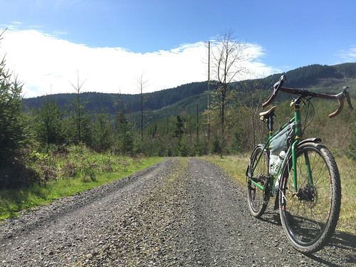
That’s what I did on Sunday by finally connecting dirt roads from Scappoose to the Banks-Vernonia Trail (at Buxton trailhead). In all it was just under 80 miles, with 21 of them on beautiful, often rugged, and remote backroads that I’m still day-dreaming about. Here’s how it went down…

Ever since I first hopped onto Bacona Road during the inaugural Bullshit 100 I’ve been wondering if I could ride logging roads all the way from the Banks-Vernonia Trail to Highway 30. With a bit of familiarity with the western portion, and a few explorations of Tupper Ranch Road (near Otto Miller) on the east side of this route, I felt pretty good about my chances of making the connection.
I didn’t do much planning at all for the ride. Thanks to RideWithGPS and my phone, I just woke up on Sunday, pulled up the map on my computer, created a route, made sure it was synced with my iPhone app (I use my phone as my GPS device ever since thieves stole my Garmin!), and set off. I know from my experiences in Columbia County that these areas are all owned by private timber companies. If you stay on the main (named) roads you can pretty much guarantee passage.
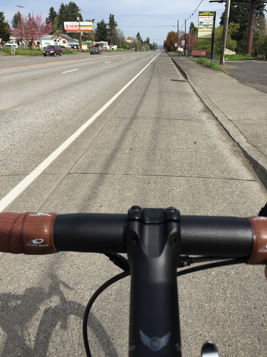
My loop started with 12 miles northbound on Highway 30 to Scappoose. I know “Dirty 30” has a bad reputation (deservedly so), but on a Sunday morning it’s really not that bad; especially when you get north of the Sauvie Island Bridge. It’s a wide bike lane the entire way.
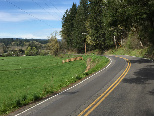
Just before reaching downtown Scappoose, I hung a left to catch Old Portland Road, then went left again on Dutch Canyon Road. This is where the loop turns westward and the ride really begins. Dutch Canyon is a popular road mostly because it’s how you reach the base of Otto Miller — a legendary local gravel climb. It’s also a favorite because it’s quiet and curvaceous and it clings to a small ridge that looks out over an idyllic valley of old, working farms.

Advertisement

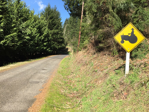
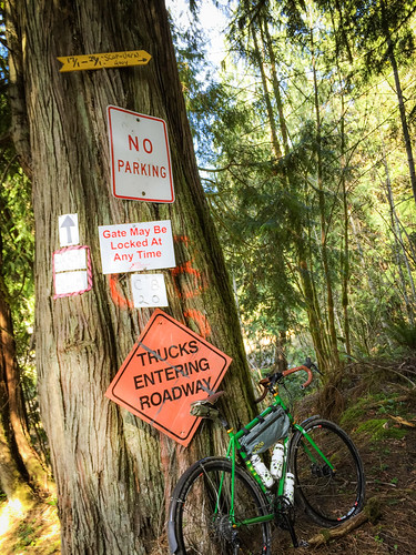
You’ve only got about four miles on Dutch Canyon before you come to your first locked gate. Don’t be deterred by a “Private Property: Keep out” sign taped to the gate. I’m sure that was put there by local residents. Fact is, this land is owned by a private timber company and public access is allowed.
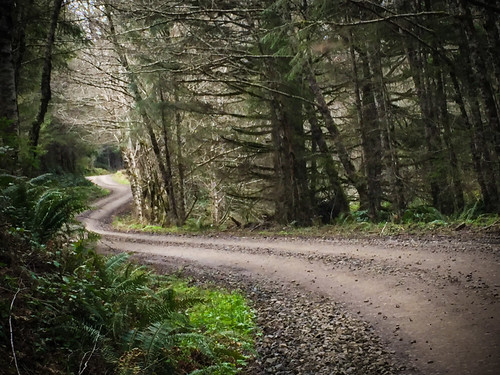
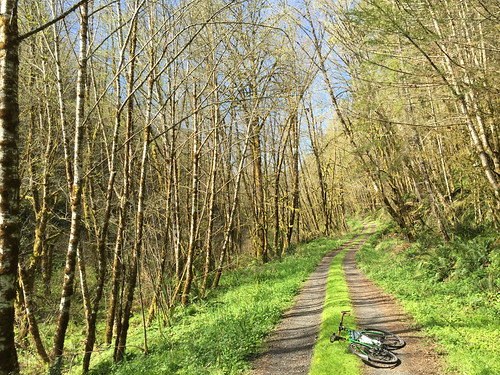
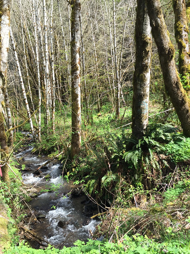
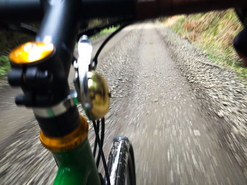
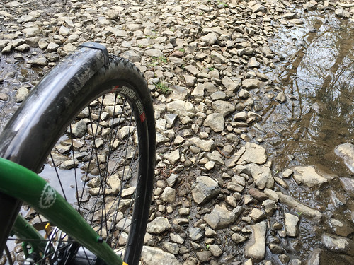
Just beyond that first gate, you are in for a treat. For a mile or so I couldn’t tell what was louder, the sound of gravel crushing under my tires or South Scappoose Creek, which was rushing along just a few feet from them. What a magical section of road! I was dwarfed by birch tree groves of red alder and water was trickling over rocks around every corner.
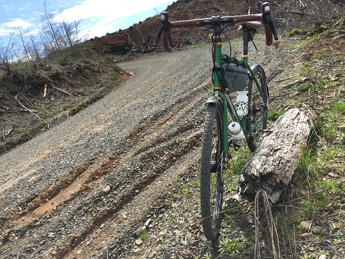
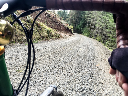
Then it was time to climb. Just 1.5 miles past the gate and that perfect double-track, the road leaves the comfort of the creek and turns skyward for a steep, four-mile, 1,500-foot climb. A climb like that would be hard enough of smooth pavement, but the road here is full of embedded rocks and loose gravel. To me, it leads to that exhilarating challenge of weight balance, a smooth pedal stroke, and aerobic capacity — everything I love about a good, dirt climb.
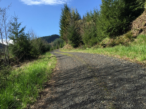
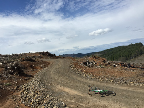
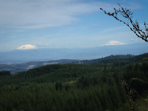
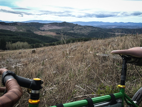
About five miles after the gate you come a junction with Pisgah Home Road. This is nearly the highest point of the ride at just about 2,000 feet above see level. I had lunch next to a vast clear-cut while looking west toward the coast range.
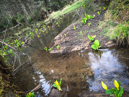
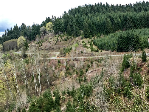
After coming to Pisgah Home Road, the next 10 miles are full of descents that left me smiling to myself. I was having so much fun that a few miles into it I made a wrong turn. I veered right and headed downhill toward Gunners Lakes. Usually a two-mile mistake would be annoying, but turns out Gunners Lakes is something worth seeing. Imagine rolling up to a series of ponds interconnected by wide waterfalls and dotted with birch trees, ferns, and bright yellow skunk cabbage.
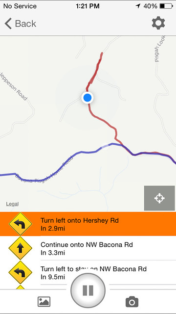
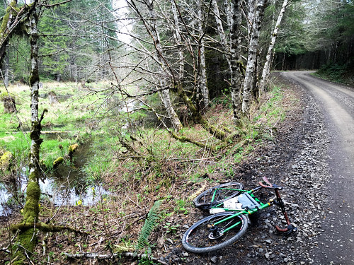
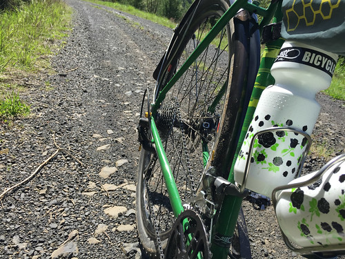
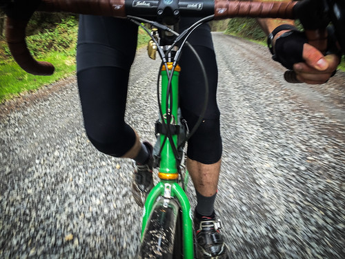
Getting back on track I headed southwest on Bacona Road and began the descent down to the Banks-Vernonia Trail. A highlight of this route is the 10-miles of screaming fast and fun descending from the highest point (2,100) to the B-V’s Buxton trailhead. This was the best gravel road descents I’ve done in years. I was absolutely loving my 40 mm WTB Nano tires and tubeless rims (thanks 21st Avenue Bicycles) as I leaned into corners and just let the bike float over everything while I pedaled a big gear and hung on to my drops for dear life.
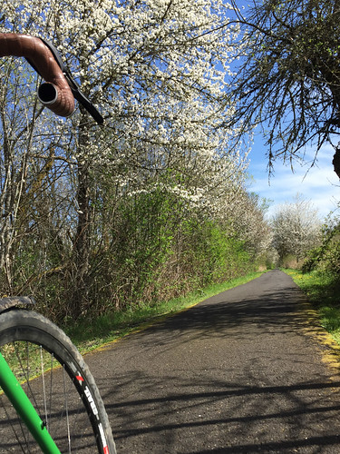
transition from the backwoods into civilization.
After I rejoined civilization on the B-V Trail, I still had about 35 miles and one last big climb (Springville Road) to go. Besides dreaming of food and a drink when I got home, I used that time in the saddle to re-live those beautiful backroads and to start dreaming up the next adventure.
— Check out the route on RideWithGPS.com. And stay tuned for more adventure riding stories, including a closer look at my new Salsa Vaya. Built up with the expertise of the crew at 21st Avenue Bicycles, it’s the perfect bike for rides like this..